Hiking
-
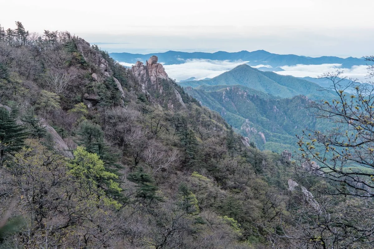
Wild Meadows on the Gombaewol Ridge, a Primeval Forest in Jeombongsan, Gangwon
Gombaewol at Jeombongsan in Inje, Gangwon — a 5.32km one-way, 4-hour round-trip easy hike doable as a day trip
-
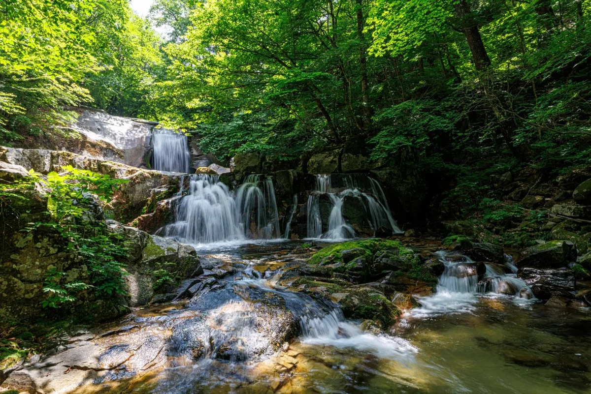
Bangtaesan's Primeval Ridge Cradling Achimgari Valley, Inje
Gangwon Inje Bangtaesan Guryongdeokbong Observatory course, 9.76km, difficulty upper, one-way 3h48m, doable as a day hike, public transit inconvenient
-
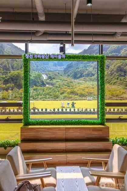
Wild Moss Valleys and Waterfalls: Gariwangsan in Jeongseon, Gangwon
A one-way, roughly 4-hour traverse of Gariwangsan in Jeongseon, Gangwon, passing through moss-covered valleys and waterfalls — public transit is inconvenient, so both day trips and overnight stays work
-
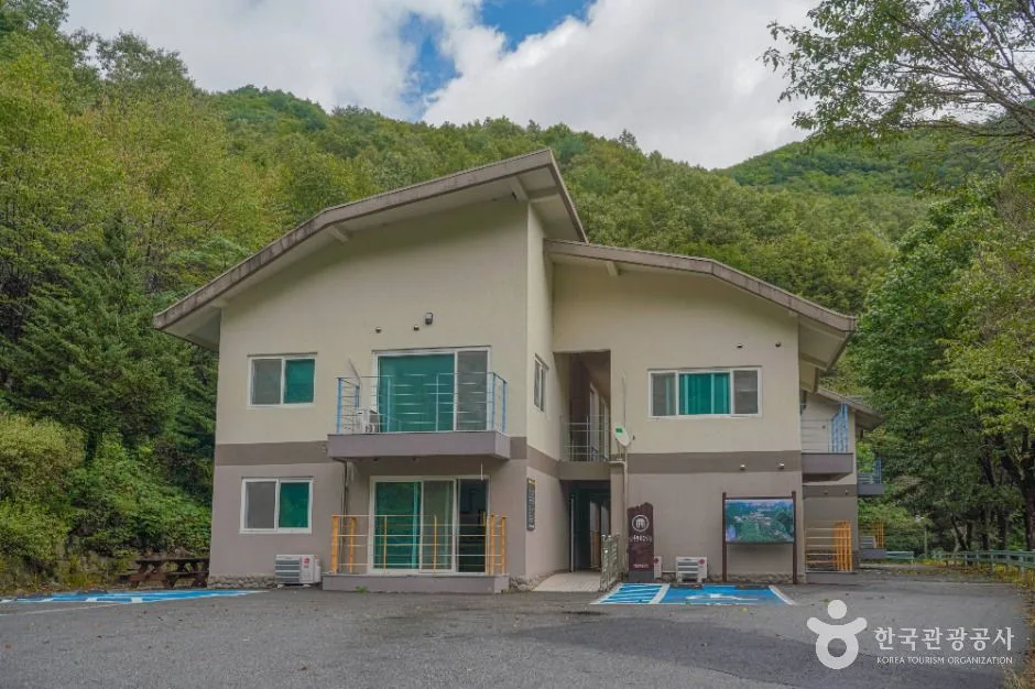
Grand Unjangsan: A Ridge Linking Multiple Peaks in Jinan
A day hike along the rocky ridge of Unjangsan in Jinan, Jeollabuk-do — Piammokjae to Seobong one-way, 12.95km in 4 hours 29 minutes. A car is recommended for access.
-
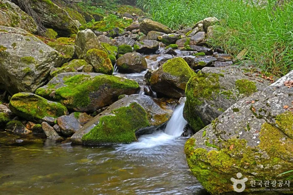
Where the Dirt Trail Meets Rocky Ridges: Baekdeoksan in Gangwon
An 8.18km day hike in Gangwon's Yeongwol/Pyeongchang, from Heungwonsa Temple to the summit — an expert-level rocky ridge route linking to Sajasan.
-
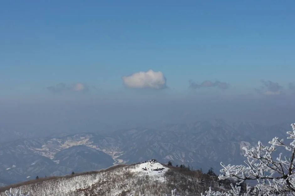
Sweeping Grassy Ridges and 360° Views: Mt. Gyebangsan in Pyeongchang, Gangwon
A gentle earthen-ridge day hike up Mt. Gyebangsan between Pyeongchang and Hongcheon, Gangwon Province (round trip about 5 hours, beginner-friendly)
-
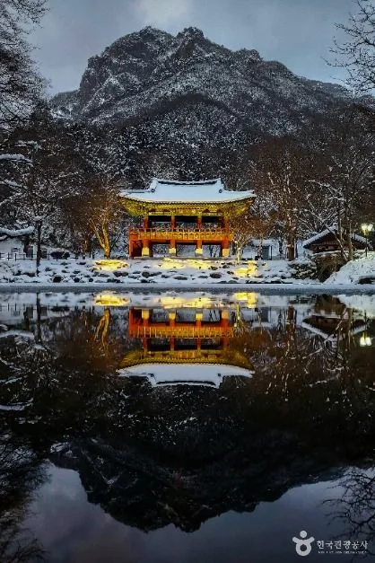
Baegam Mountain's Baekhak Peak Ridge Under Fall Colors, Jeonnam
Baegam Mountain in Jangseong, Jeonnam — Baegyangsa to Baekhak Peak and Gatbawi Rock, 8-10km one way, difficulty ★★★★, day hike
-
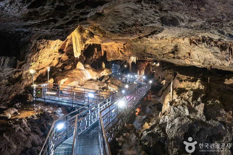
Deokhangsan, Samcheok: Karst Ridges Cradling Hwanseon Cave
A day hike up Deokhangsan in Samcheok, Gangwon, passing by Hwanseon Cave. One-way 2-3 hours, moderate-to-hard difficulty, driving in recommended.
-
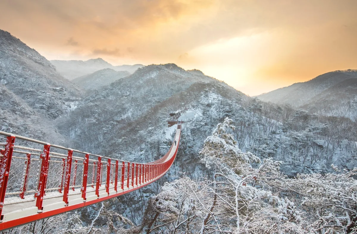
A Bare-Rock Ridge with Earth-Trail Approach and Imjin River Views: Gamaksan, Paju
Gamaksan (675m), on the Paju–Yangju–Yeoncheon border, a gentle dirt trail leading up to a summit rock ridge, 5.5–11km round trip, 4–7 hours, bus-accessible
-
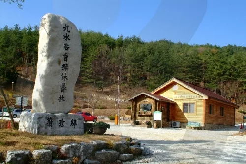
Golden Pine Forest Bathing Along the Ridge — Eungbongsan, Uljin
Eungbongsan, on the border of Uljin (North Gyeongsang) and Samcheok (Gangwon), near Deokgu Hot Springs — an old ridge trail, 11.39km one way, 8+ hours round trip, an intermediate-level day hike
-
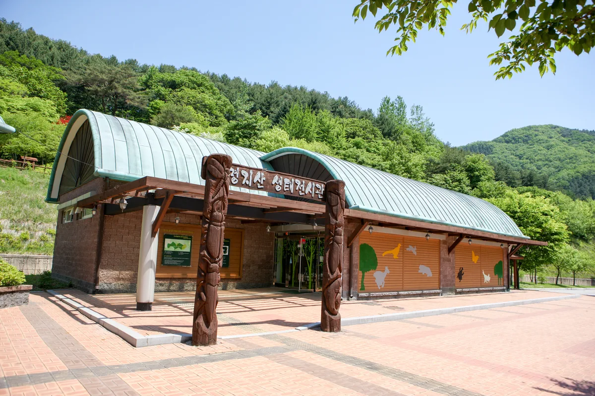
Twin Peaks Ridge and Stunning Fall Foliage on Myeongjisan
An advanced day hike up Myeongjisan in Gapyeong, Gyeonggi-do — 8-12km one way, accessible via Gapyeong Station and local county buses, no shelter along the way
-
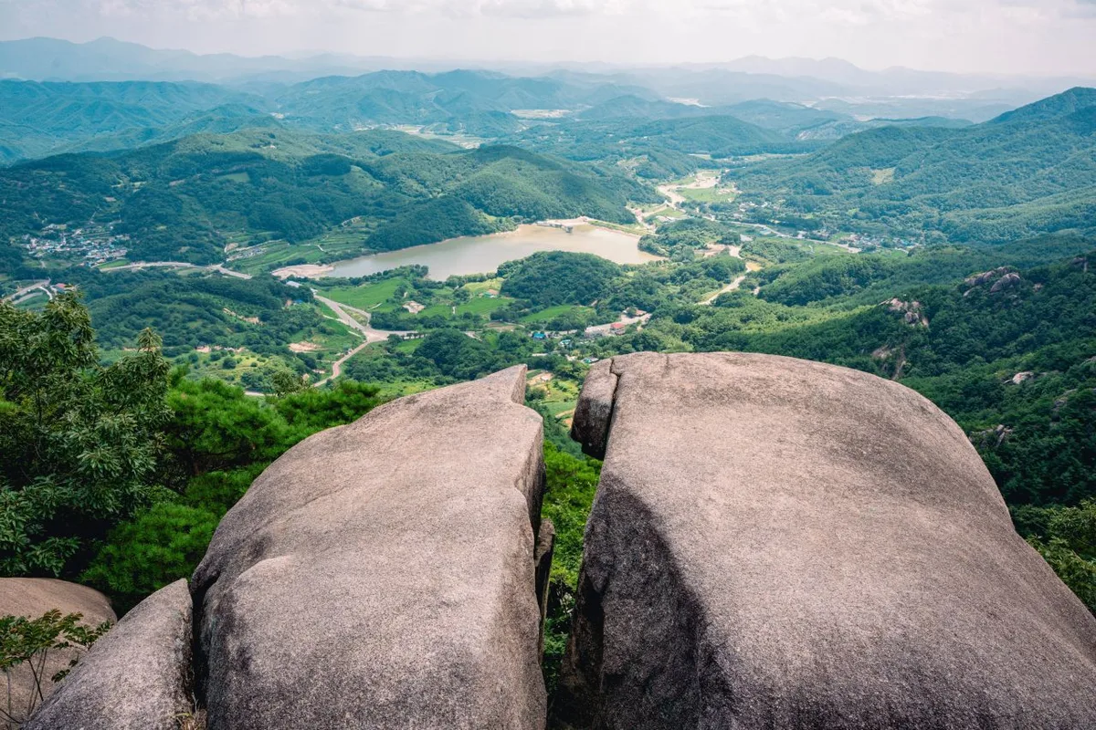
Ridgeline Meadows of Royal Azalea and Silver Grass: Hwangmaesan in Hapcheon and Sancheong
Hwangmaesan straddles the Hapcheon–Sancheong border in Gyeongsangnam-do. Day hikes on courses from 2.43 to 9.67 km, spring royal azaleas, and autumn silver grass across the high plateau.
-
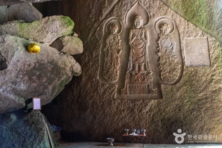
The Knife-Edge Ridges of Hwangseoksan: A Traverse in Geochang, Gyeongnam
Hwangseoksan in Geochang, Gyeongnam — the toughest rocky ridge course out there. Two to five hours one way, doable as a day hike, and you'll really want your own car to get there.
-
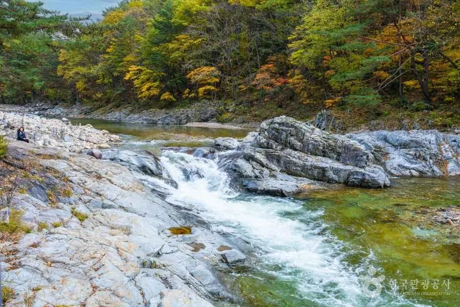
Stairway to Heaven on the Baekdudaegan's Rocky Ridges: Hwangjangsan in Mungyeong
A rocky-ridge peak on the Gyeongbuk Mungyeong–Danyang border. Saengdal public parking lot to the summit, 5.65km one way, 2 hours 23 minutes, a day hike rated ★★★★
-
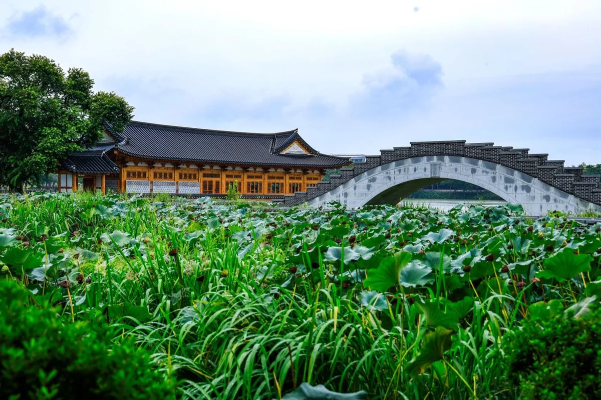
A Ridge Trail Cradling Okcheonsa Valley: Yeonhwasan in Goseong
Yeonhwasan in Goseong, Gyeongsangnam-do — an intermediate day hike of roughly 8km round trip from Okcheonsa Valley up to Sirubong and Yeonhwa Peak 1. Public transport is a pain, so I'd bring a car.
-
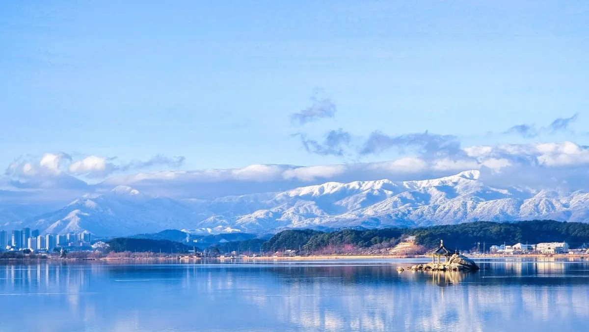
Snow Blossoms and Frost-Coated Yew Ridges: Taebaeksan in Gangwon
A day hike up Taebaeksan in Gangwon — six routes running 2 to 4.5 hours one way, and a famous spot for winter snow blossoms and frost-covered trees
-
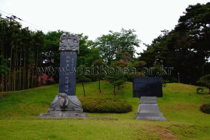
Silver Waves of Silvergrass Ringed by Hwawangsanseong Fortress: Hwawangsan in Changnyeong
Hwawangsan in Changnyeong, Gyeongsangnam-do — a moderate day hike of 6–11km one way, with silvergrass plains and the rocky ridges of Hwawangsanseong Fortress, reachable by bus from Changnyeong Terminal
-
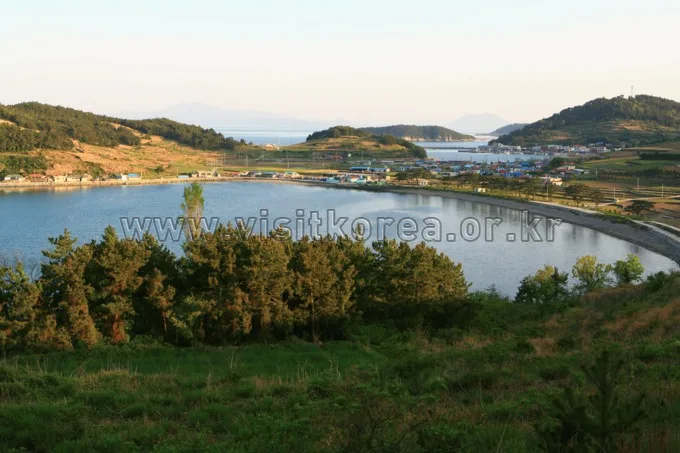
Danyang's Doraksan in Chungbuk: Autumn Colors the Rocky Ridge
Chungbuk Danyang Doraksan — Sangseonam-to-summit rock ridge traverse, one-way 6.62km, net elevation gain 692m, day hike
-
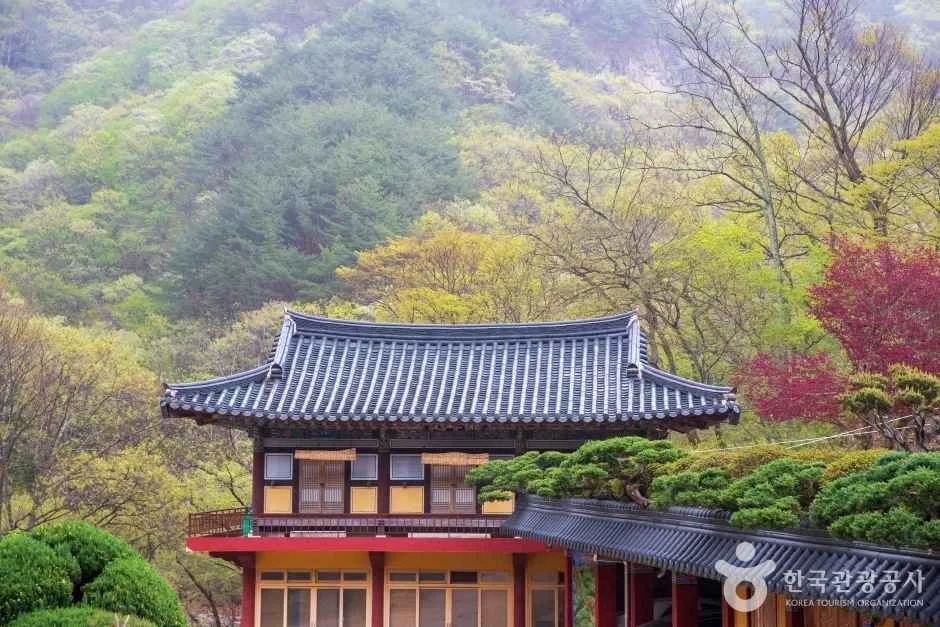
Through Thick Forest to a Highland Ridge: Cheonseongsan in Yangsan
Intermediate to advanced, a 7.7–8.9km ridge walk one way, doable as a day hike, reachable by Yangsan city bus
-
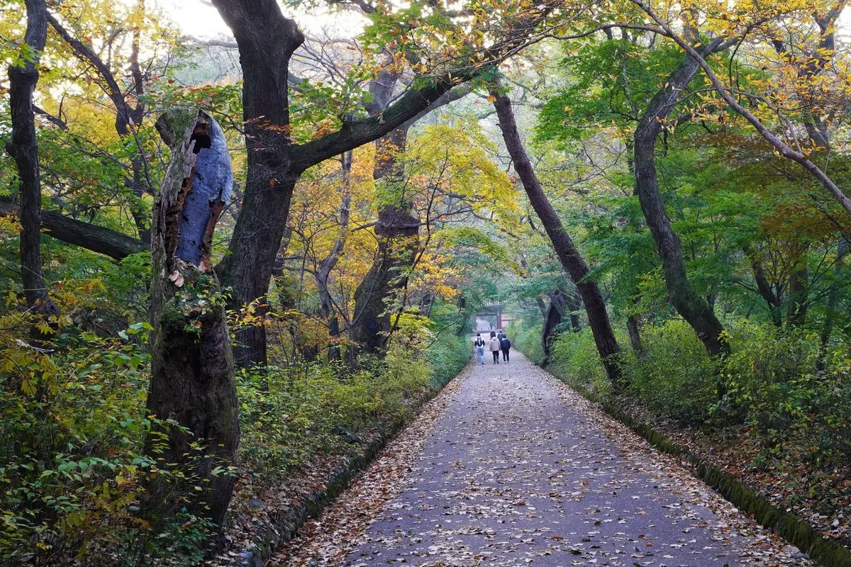
Rock Spires and Pines Along the Natural Ridge: Gyeryongsan in Daejeon and Gongju
Gyeryongsan in Daejeon and Gongju — the 8.3km intermediate rocky ridge route from Donghaksa to Sambulbong along the natural ridge, doable as a day hike
-
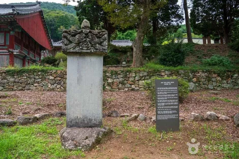
Past Dead Trees and the Silver Grass Ridge to Cheonwangbong — Traversing Jirisan in Gyeongnam
Jungsan-ri to Cheonwangbong in Sancheong, Gyeongnam: 15km one way. A tough, long-haul Jirisan traverse — doing it out and back in a single day is asking a lot.
-
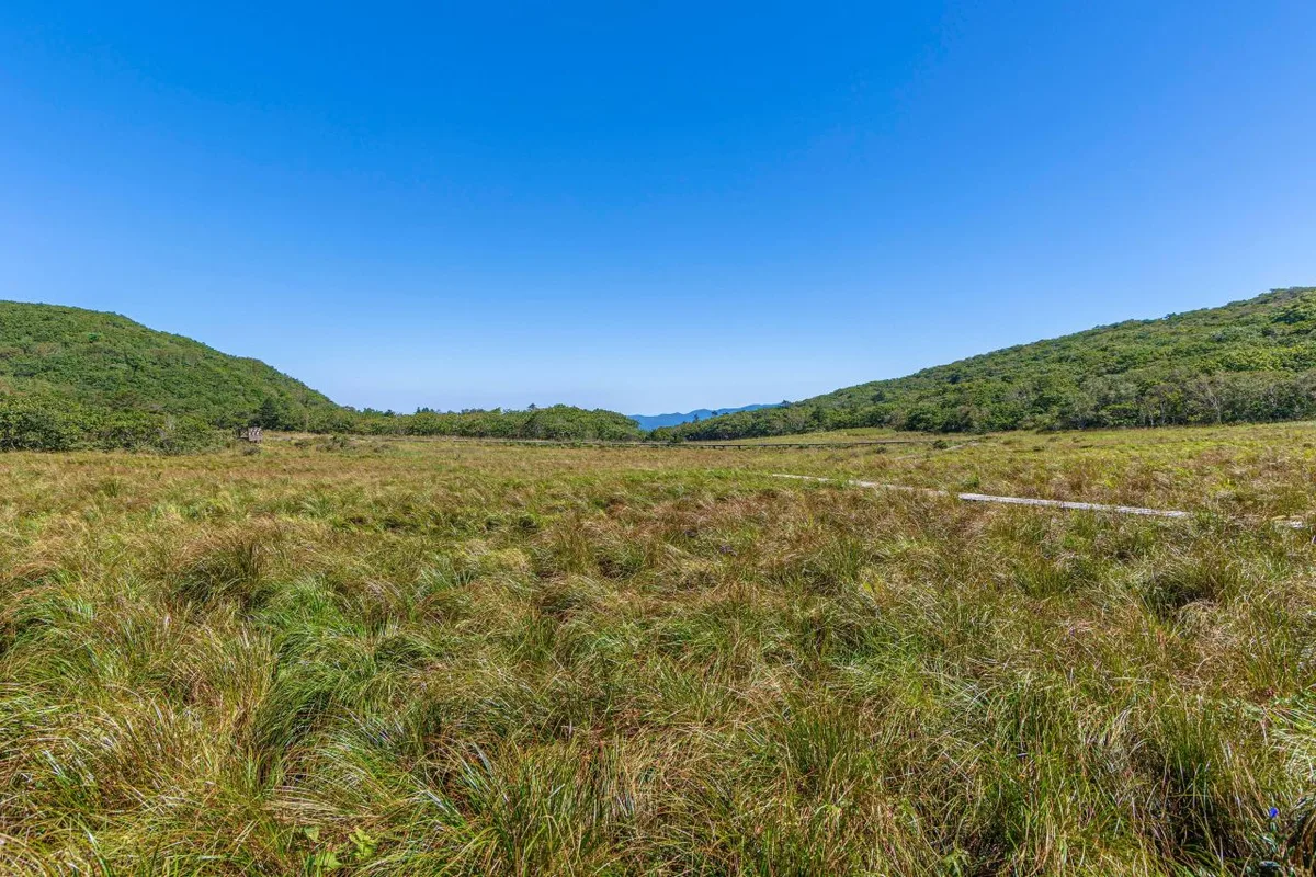
Daeam-san in Changwon, Where Forest Gives Way to Rocky Ridgeline
Daeam-san in Changwon, Gyeongsangnam-do — an intermediate-level ridge hike you can do in a day (9.1km within the park), or roughly 7 hours one way for the full summit traverse
-

Ridge After Ridge in the Yeongnam Alps: Unmunsan in Cheongdo and Miryang
A 1,209m peak straddling the Cheongdo (North Gyeongsang) and Miryang (South Gyeongsang) border. A day hike of 7–11km one way with 700–1,000m of net elevation gain, over rocky ridges and wide-open views.
-

A Granite Ridge Holding Thousand-Year-Old Rock-Carved Buddhas: Namsan in Gyeongju
Hiking Gyeongju's Namsan: a 6–9km one-way, moderate-difficulty course. A day hike that doubles as a tour of rock-carved Buddhas and royal tombs, reachable by city bus.
-
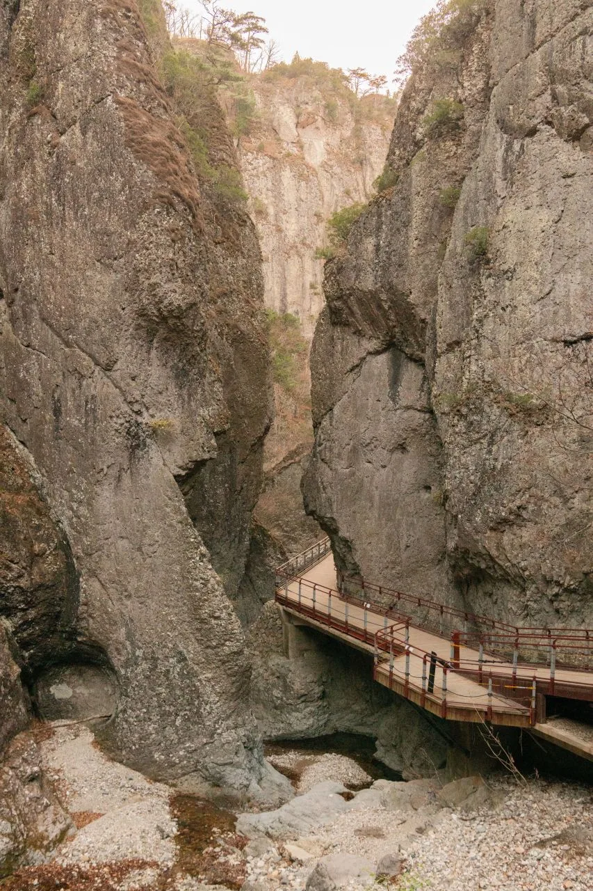
Juwangsan in Cheongsong, Gyeongbuk: Craggy Gorges and Hidden Caves
Juwangsan in Cheongsong, Gyeongbuk — the Gorge Overlook course, 5.84 km one way, a there-and-back day hike; you'll need to transfer to a bus at Cheongsong Terminal.
-
Ropes up the Bubong rock ridge — Juheulsan, the mountain that cradles Mungyeong Saejae
Juheulsan in Mungyeong, Gyeongbuk: a 2–5 hour day hike on the Bubong rock ridge and Mungyeong Saejae courses, reached by intercity bus with a transfer to a local city bus.
-
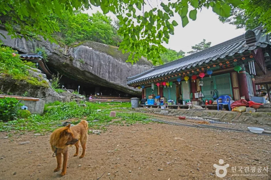
Mungyeong's Daeyasan, Home to the Elephant Rock Ridge and Yongchu Valley
Daeyasan in Mungyeong, Gyeongbuk — the Elephant Rock and Daemun Rock ridge route, 8.6km round trip in about 3 hours. Fine as a day hike, though getting there by public transport is a hassle.
-
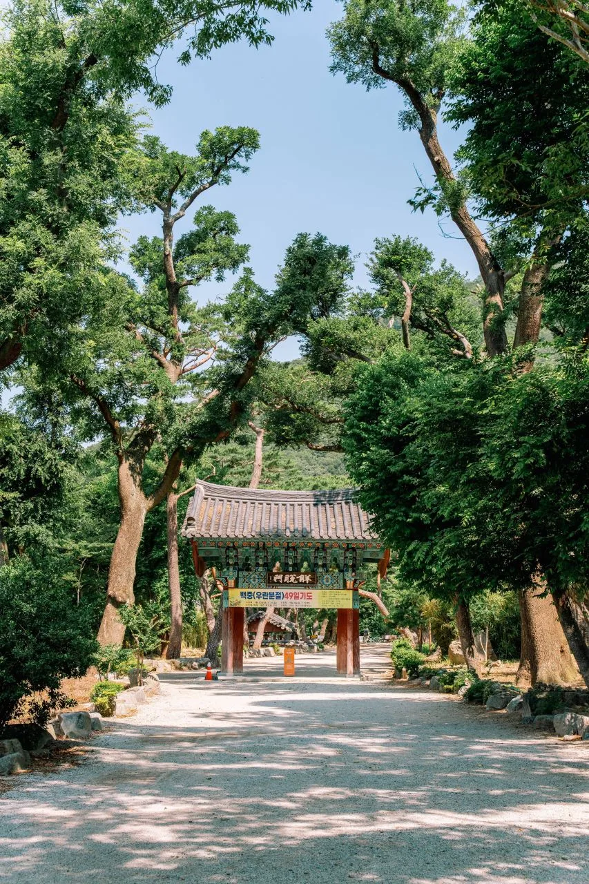
Pohang's Naeyeonsan: A Ridge with Sea Views and a Waterfall Valley Tucked Below
The Hyangnobong course on Naeyeonsan in Pohang, Gyeongbuk — 6–11km, 200–600m net elevation gain, doable as a day hike, reachable by bus from Pohang Station
-
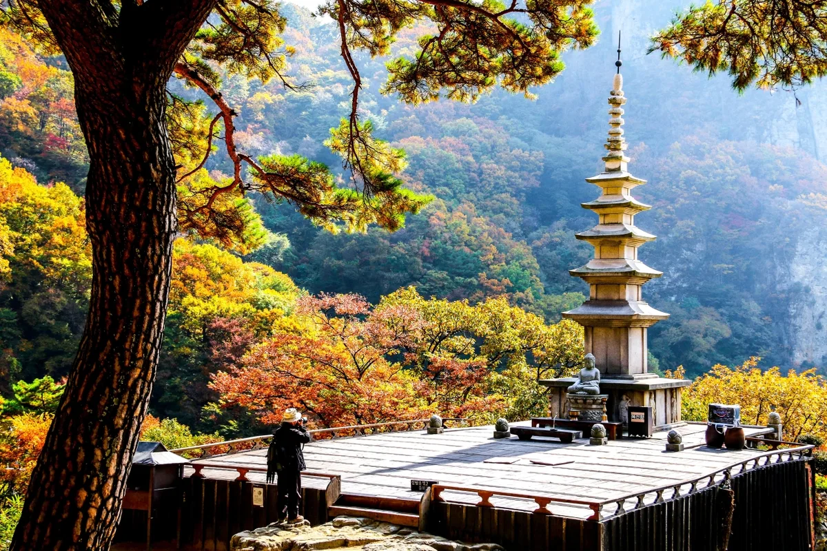
Thrill of the Sky Bridge: Cheongnyangsan's Twelve Rock Peaks
Cheongnyangsan's Sky Bridge course in Bonghwa, North Gyeongsang — intermediate rock ridge difficulty, about 2 hours one way, doable as a day hike; public transit is inconvenient, so driving is recommended
-
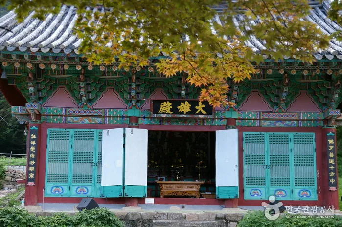
Cheontaesan in Chungbuk: Home to Turtle Rock Ridge and Yeongguksa Temple
Cheontaesan in Yeongdong, Chungbuk — the Sinan-ri course, a 3.1km one-way day hike of moderate difficulty, combined with a ridge route via Yeongguksa Temple
-
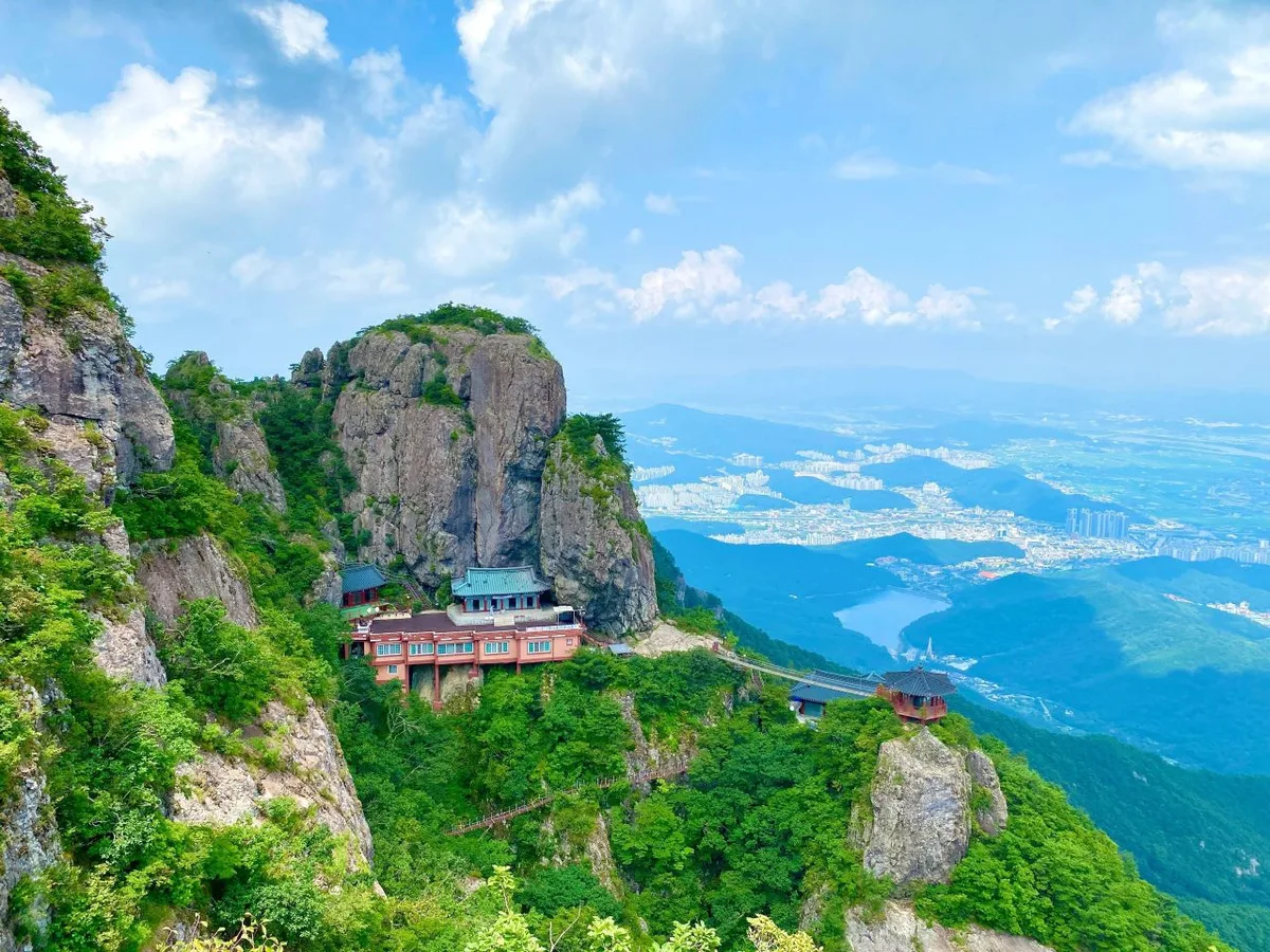
Gumi's Geumo Mountain: Daehye Falls and the Fortress Ridge
Gyeongbuk Gumi's Geumo Mountain — an intermediate-to-advanced ridge route, 6–11km one way, a 3-hour day hike
-
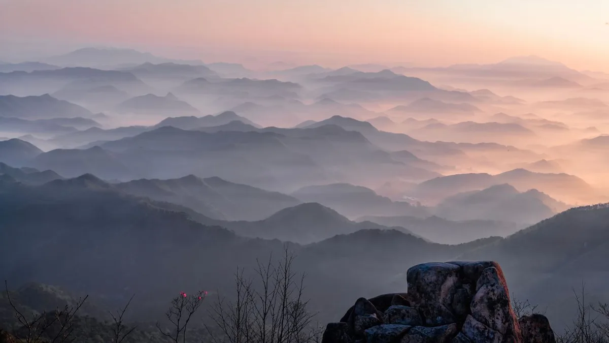
Granite Cliffs and a Suspension Bridge: Daedunsan on the Chungnam–Jeonbuk Border
Daedunsan Suraeng-ri course, one-way 5.62km, difficulty ★★★★, doable as a day round-trip — a rocky ridge mountain straddling Chungnam and Jeonbuk, reachable by public transit
-
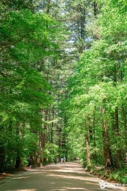
Fir Forests and Yew Groves: A Ridge Walk Through Gangwon's Odaesan
A day hike on Odaesan in Pyeongchang, Hongcheon, and Gangneung, Gangwon Province, from Jingogae to Birobong — 6.5–12km with 638–660m of elevation gain
-
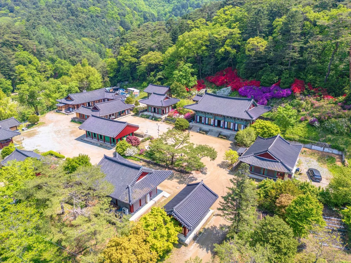
Old Pine Ridge Wrapping Around Gulun Reservoir, Hongcheon Gongjak Mountain
Hongcheon Gongjak Mountain in Gangwon: several one-way routes of 8–14km; shorter routes are doable as a day round-trip; difficulty upper-intermediate
-
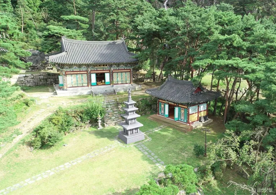
Yongbawi and Seonnyeobawi Rock Ridge, Mt. Seodaesan in Geumsan, Chungnam
Mt. Seodaesan in Geumsan, Chungnam — three rocky-peak routes, 2-3 hours one way, day hike, bus + walking access
-

Ridge After Ridge, Hugging a Reservoir: The 'Alps of Chungnam,' Cheonggyesan in Cheongyang
Cheongyang's Chungnam, Cheonggyesan: three one-way trails of 2.6–9km, easy to moderately hard, doable in a day, reachable by bus or with parking available
-
Palbongsan in Hongcheon, Gangwon — Eight Rock Peaks and the Haesangul Ridge
Palbongsan in Hongcheon, Gangwon: a 4.13km round-trip day hike from the tourist area to the lookout, about 3 hours, easy difficulty, featuring rock ridges and the Haesangul course
-
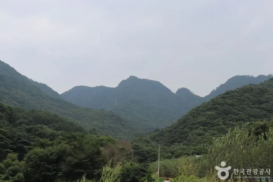
White Granite Peaks Rising Over Huiyangsan, Between Mungyeong and Goesan
A rocky mountain on the Mungyeong-Goesan border with advanced rock ridges near the summit — a day hike, 6 route options with one-way times of 2.5 to 4.5 hours
-
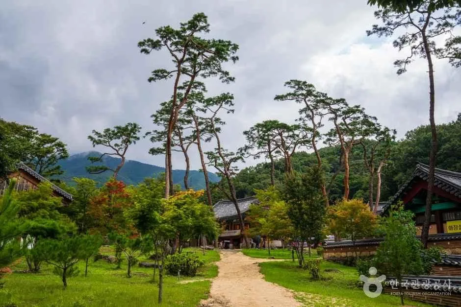
The Baekdu-daegan Ridge Trail Embracing Jikjisa Temple: Hwangaksan, Gimcheon
A soil-covered peak on the Baekdu-daegan ridge along the border of Gyeongbuk Gimcheon and Yeongdong — a long day hike of over 10km on the ridge from Jikjisa Temple to the summit
-
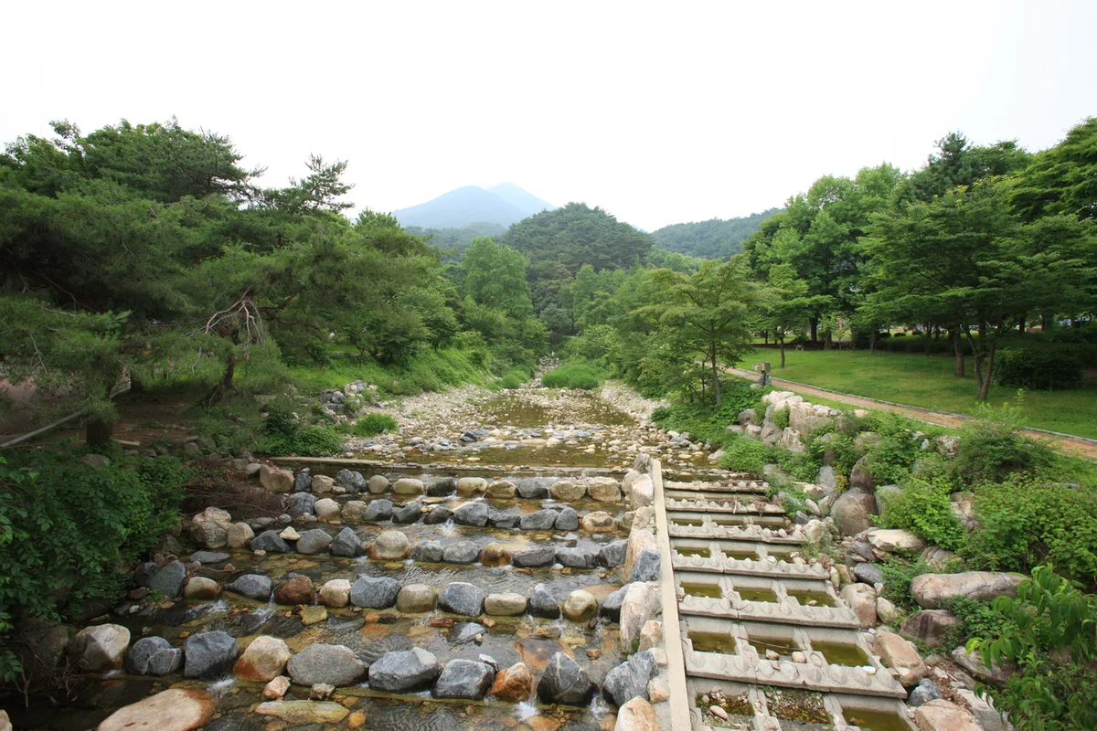
Mount Yongmun in Gyeonggi: A Thousand-Year-Old Ginkgo and a Rocky Ridge
Mount Yongmun in Yangpyeong, Gyeonggi-do — a tough one-day hike, 8–11km one way with an elevation gain in the 800m range, accessible from Yongmun Station or Yangpyeong Station
-
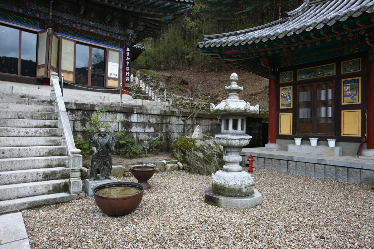
Granite Boulder Field Trails and Royal Azalea Groves: Mt. Biseulsan, Daegu
Mt. Biseulsan on the Daegu–Cheongdo border: gentle earthen-peak day hike, one-way trails of 5.8–11.6km, accessible by bus or car
-
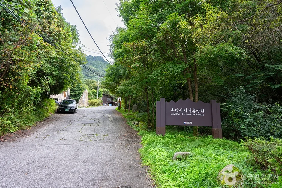
Unaknbawi and Byeongpungbawi Rock Ridges: Ungaksan in Pocheon, Gyeonggi
A rocky ridge mountain on the Pocheon–Gapyeong border; Byeongpungbawi course is 6.24km one-way, 2 hr 48 min, difficulty hard, doable as a day hike
-

Mount Muhak in Changwon: Overlooking Masan Bay Like a Dancing Crane
Mount Muhak in Changwon, South Gyeongsang Province — a 6-7 hour round-trip day hike via the Seowongok–Hakbong/Ducheok course, with notes on difficulty and access.
-
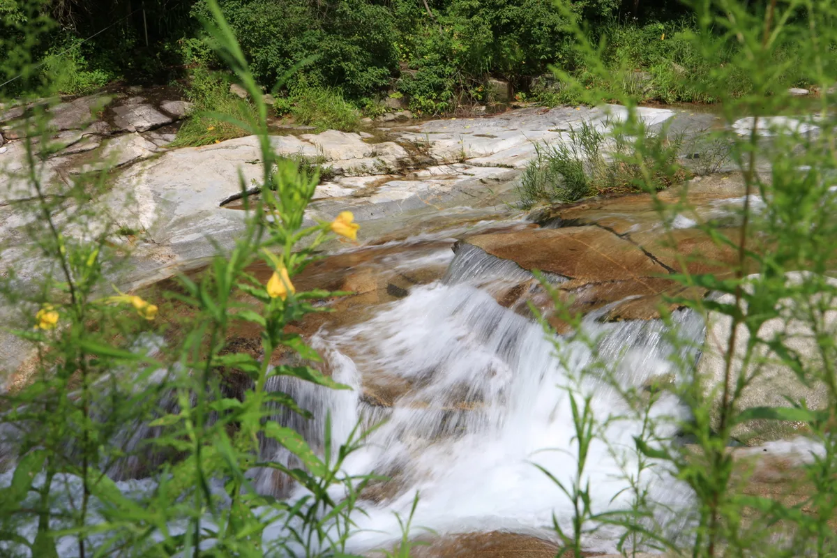
Mt. Hwaaksan (Gyeonggi): Gamaso Valley and Sajabawi Ridge
Gyeonggi–Gangwon Mt. Hwaaksan Jungbong course, one-way 7–14km, highest difficulty, doable as a day round trip (Gapyeong Station + local bus)
-
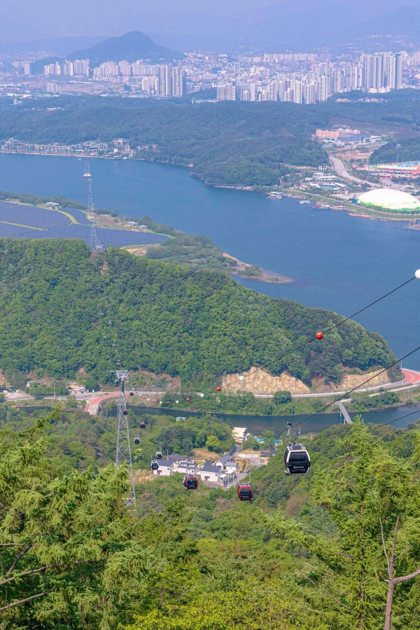
Serrated granite ridges overlooking Uiamho: Samaksan, Chuncheon
A moderate scramble through granite ridges near Gangchon Station on the Gyeongchun Line. This one-way route (2–34km) is an ideal option for a day hike at Samaksan in Chuncheon, Gangwon.
-
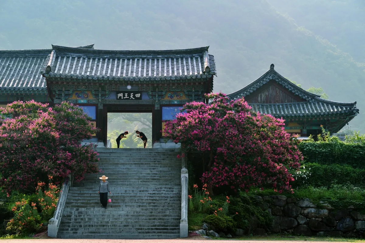
Ice Valley and the Sajapyeong Silver Grass Plateau | Mt. Jaeyaksan, Miryang
The Pyochungsa to Eoreumgol route on Mt. Jaeyaksan, Miryang. One-way: 5–13km | Intermediate difficulty | Perfect for a day hike | Accessible by bus
-
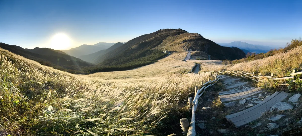
Silver Grass Plains and Rocky Views: Sinbulsan, Ulsan
A day hike through the silver grass plains and rocky ridges of Sinbulsan in the Yeongnam Alps (on the Ulsan-Yangsan border). Estimated travel time: 2–6 hours one way.
-
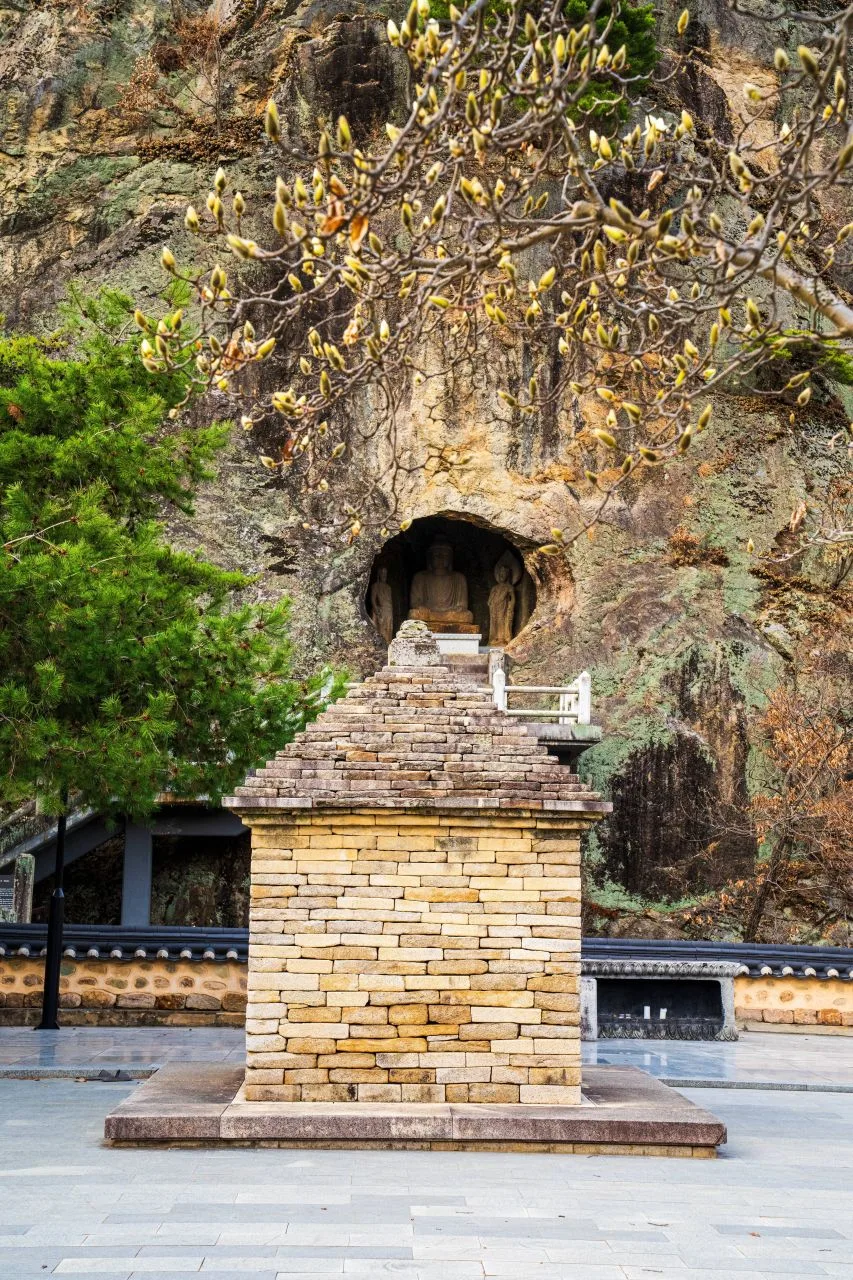
Granite Ridges and Ancient Temples: Daegu's Palgongsan
A day hike through Daegu's Palgongsan (one way: 4.5–8.7 km, roughly 2h 15m to 3h 22m). The route passes through Donghwasa and Gatbawi; accessible via bus or car.
-
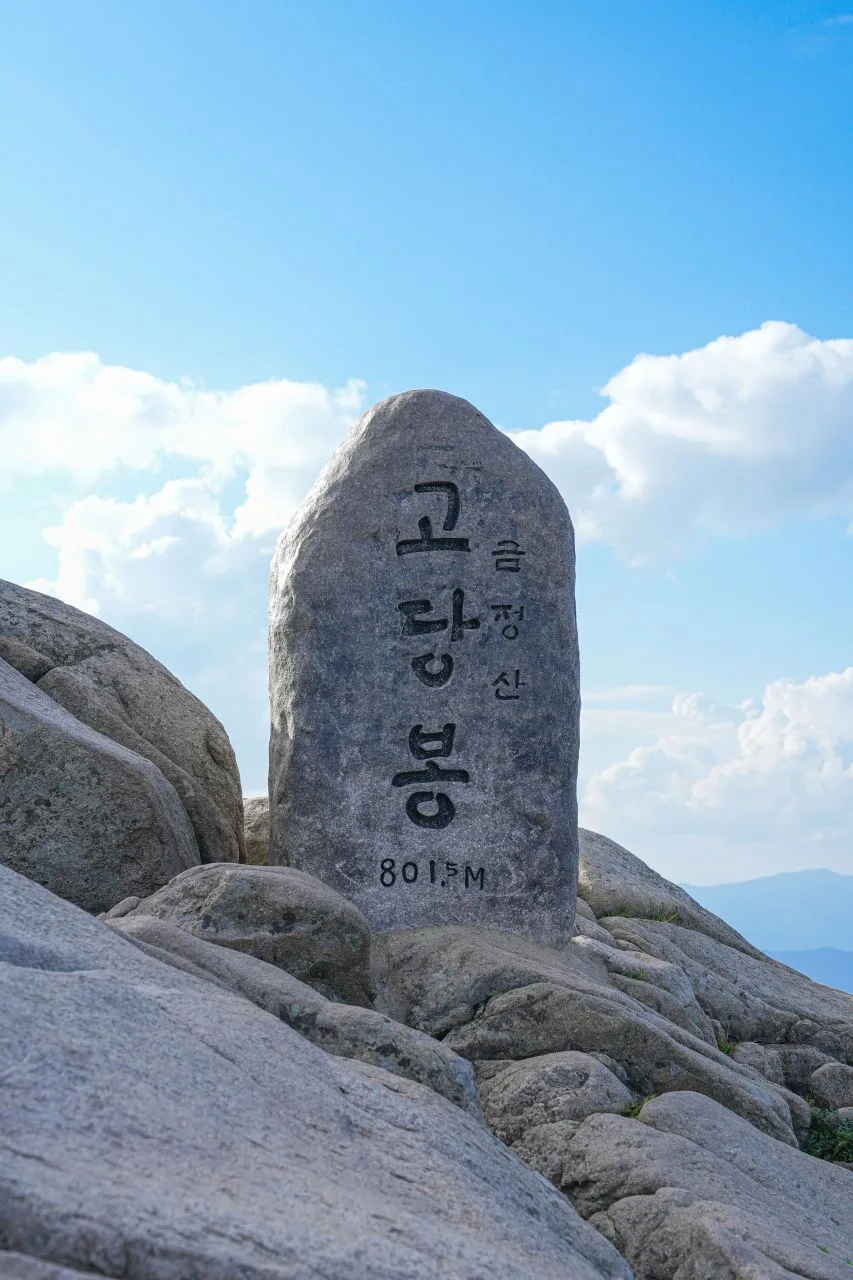
Walking the Fortress Walls: Busan's Godangbong Ridge
A hike up Busan's Geumjeongsan Godangbong Peak. One-way distance of 7–13km, lasting about 3–4 hours; various day hike routes ranging from intermediate to advanced levels.
-
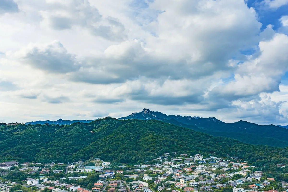
Granite ridge views right on the edge of the city: Seoul's Bukhansan
The famous granite peak of Bukhansan (Baegundae at 834m). With summit trails covering about 8–12km one way and roughly 600m of elevation gain, it's a perfect day hike accessible by subway and bus.
-
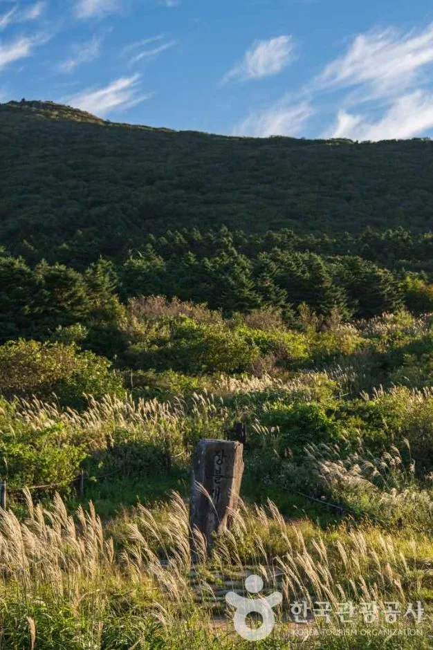
Mudeungsan: Gwangju’s dramatic stone pillars, lined up like a grand folding screen
Exploring the Mudeungsan summit area: a 5–9km one-way trek with a max difficulty of ★5 and net elevation gain of 450–780m. It's a perfect day hike, easily accessible via Wonhyosa or Jeungsimsa temples.
-
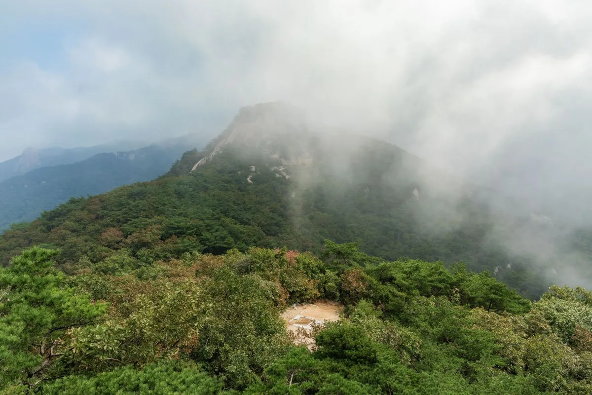
Dobongsan: Seoul's rugged mountain of soaring granite ridges
8 routes including Sinseondae and Obong; intermediate-to-advanced difficulty, round-trip day hike, easily accessible on foot via Dobongsan or Mangwolsa Station.
-
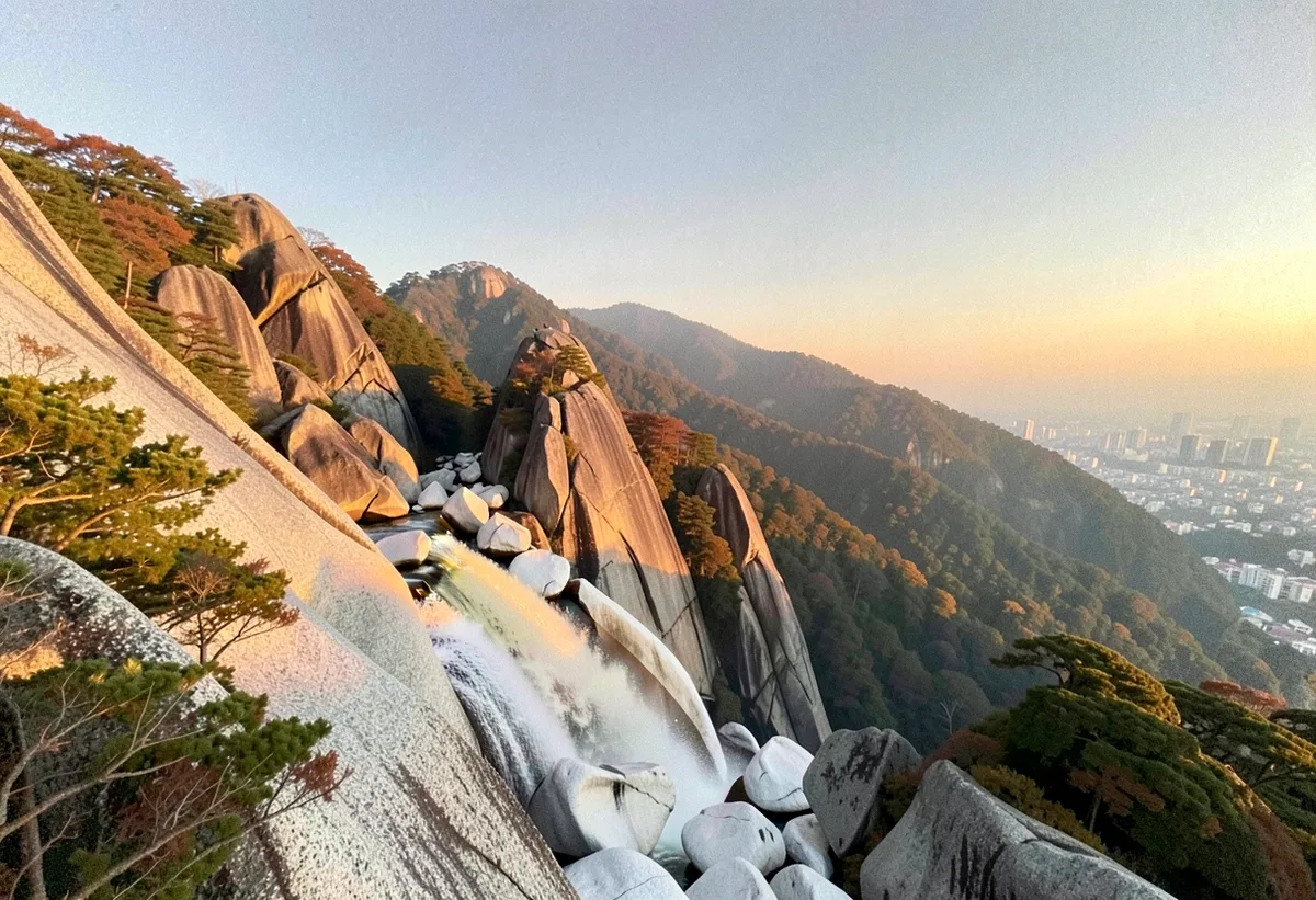
The Sawtooth Palbong Ridge and the Crags of Yeonjudae: Gwanaksan, Seoul
A day hike guide to Seoul's Gwanaksan (632m) — Moderate difficulty, typical routes 6.4–10.8km, accessible via Nakseongdae or Gwacheon stations, 5–7 hour round trip.
-
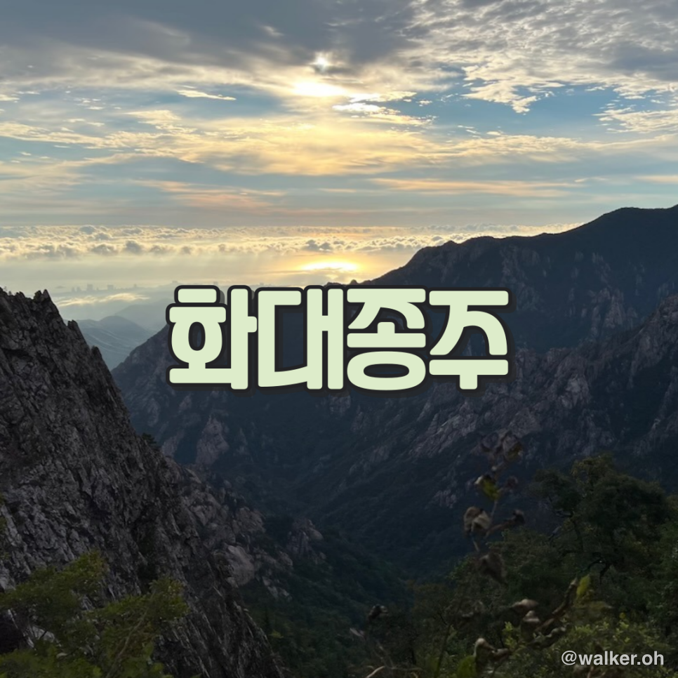
Hiking Jirisan's Hwa-Dae Traverse: A 46.2 km Section-by-Section Guide
A detailed breakdown of Jirisan's 46.2 km Hwaeomsa-to-Daewonsa traverse—every section from Nogodan to Cheonwangbong, plus single-day trail-running tips and a GPX.