Bangtaesan's Primeval Ridge Cradling Achimgari Valley, Inje
Hiking · Published 8/21/2026 ·
등산로 트랙·시설 (공공데이터: 전국등산로 공간정보) · 🚩시종점 💧음수대 👁️조망점 🏠대피소 🅿️주차장 ⚠️위험 · 지도 © OpenStreetMap ⤓ GPX 다운로드
At a Glance
| Metric | Rating |
|---|---|
| Accessibility (public transit/parking) | ★☆☆☆☆ |
| Trail difficulty | ★★☆☆☆ |
| Water/springs on the mountain | ★☆☆☆☆ |
| Overnight stay needed | ★★★☆☆ (1 night if doing the full traverse) |
| Seasonal difficulty - Spring | ★★☆☆☆ |
| Seasonal difficulty - Summer | ★★★☆☆ |
| Seasonal difficulty - Fall | ★★☆☆☆ |
| Seasonal difficulty - Winter | ★★★★☆ |
※ Source: Korea Forest Service trail spatial data · accessibility and seasonal ratings are for reference only
Overview
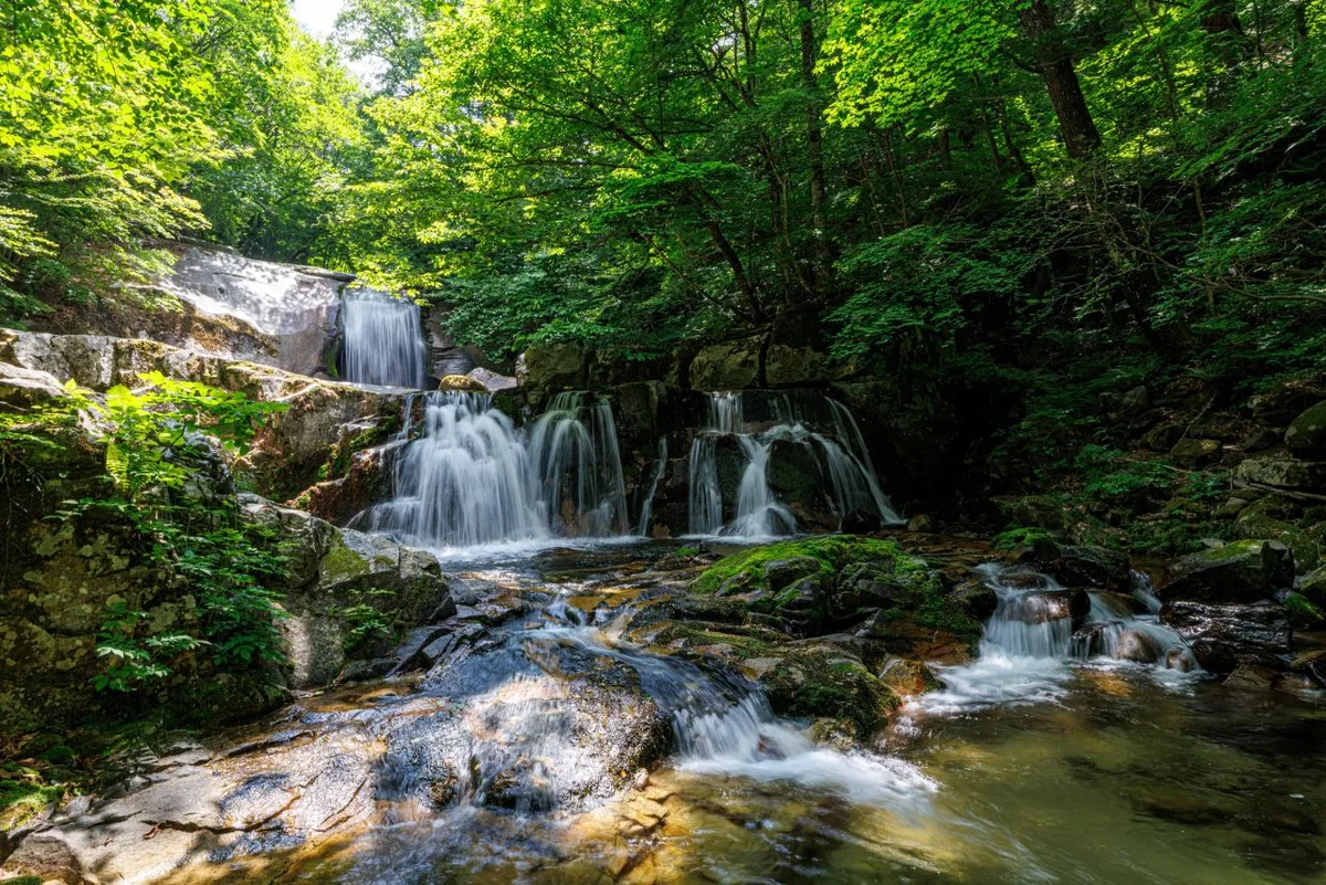 Photo: Korea Tourism Organization photo gallery (Girin-myeon, Inje-gun, Gangwon Special Self-Governing Province) · Public Nuri
Bangtaesan straddles the border between Girin-myeon in Inje-gun and Naemyeon in Hongcheon-gun, Gangwon Province, its ridgeline anchored by the summit, Jueokbong (1,444m), and running out toward peaks like Maebongryeong (1,207m). According to surveyed trail data, the highest point along the summit-area course actually clocks in at 1,447m — a small discrepancy from the topographic elevation that just comes down to where exactly the trail measurement point sits. Overall it’s a gentle, soil-covered mountain rather than a rocky one, and the registered trail sections here are mild enough that the toughest rated segment in the data is still only “easy.” That said, the main route up to the summit area is no walk in the park once you factor in the distance and elevation gain — it’s a day hike, but one that’ll take a real toll on your legs, so come prepared.
Mountain Terrain and Landscape
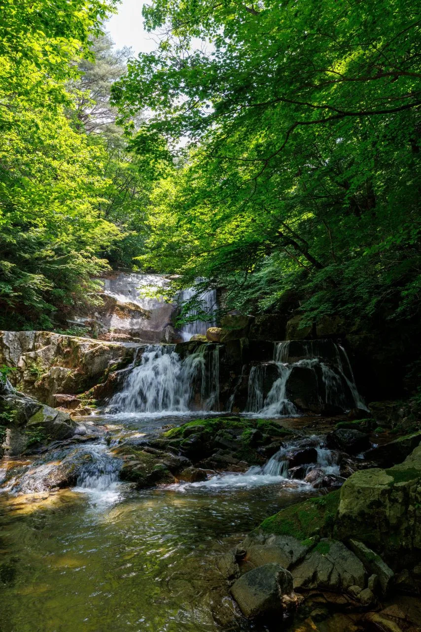 Photo: Korea Tourism Organization photo gallery (Girin-myeon, Inje-gun, Gangwon Special Self-Governing Province) · KOGL
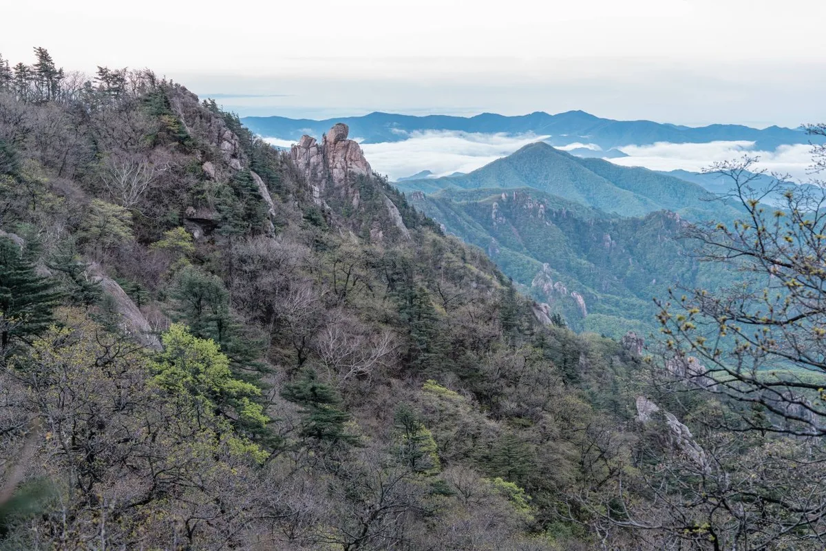
Bangtaesan is very much an “earth mountain” (yuksan) at heart — think soft, rolling ridgelines and dense forest rather than jagged rock peaks. Its highest point, Bangtaesan Jueokbong (1,444m), anchors the range, with Maebongryeong (1,207m) serving as the main fork along the ridge. Down at the base, the mountain’s valleys are well developed, and it’s just as well known as a valley-trekking destination — enough that the “Achimgari Valley trekking section” is listed as its own separate route among the official trails. Along the ridge leading up to the summit, there are quite a few spots where the view suddenly opens up, so the hike has this nice rhythm of the scenery closing in and then breaking open again as you go.
What Hiking Here Feels Like
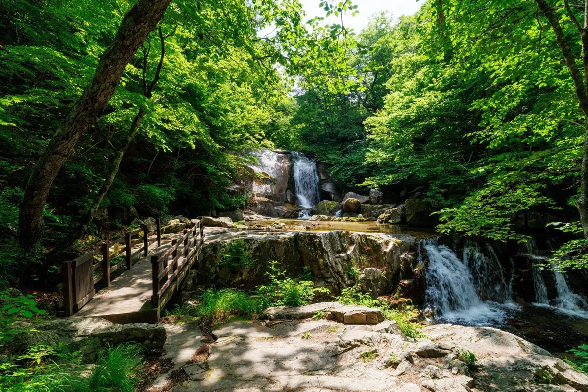 Photo: Korea Tourism Organization photo gallery (Girin-myeon, Inje-gun, Gangwon Special Self-Governing Province) · Public Nuri
Bangtaesan is, on the whole, a mountain defined by long stretches through dense, almost primeval forest. There’s less of the steep, exposed rock scrambling you find elsewhere and more dirt trail and ridgeline walking, so while it’s demanding on your stamina, it never feels overwhelming or intimidating. In spring the ridges fill with fresh green growth, in autumn with foliage, and in summer the sections running alongside the valley add a welcome coolness to the hike. As you near the summit, viewpoints open up one after another, revealing the layered ridgelines of the Inje and Hongcheon area — after all those hours in the forest, it’s the kind of payoff view that makes the climb feel worth it.
Main Trails (by Starting Point)
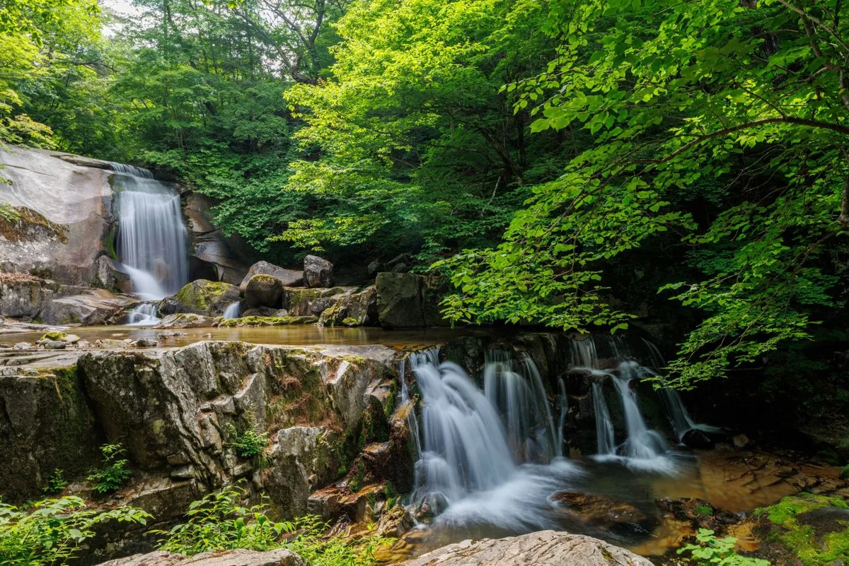 Photo: Korea Tourism Organization photo gallery (Girin-myeon, Inje-gun, Gangwon-do) · Public Nuri
| Course (trailhead → summit) | Distance | Elevation Gain | Est. Time (one-way) | Difficulty | Popularity |
|---|---|---|---|---|---|
| Bangtaesan Trailhead → Guryongdeokbong Viewpoint | 9.76km | ↕813m | About 3 hr 48 min | ★★★★★ | ★★★☆☆ |
※ Source: Korea Forest Service Trekking Support Center, Top 100 Mountains GPX data (distance, elevation, time, difficulty) · Popularity is for reference only
Course 1 — Bangtaesan Trailhead Start → Guryongdeokbong Viewpoint
Route: Bangtaesan Trailhead Start → Maebongryeong → Maebongryeong/Trail Junction → Fork → Path to Guryongdeokbong → Helipad before Guryongdeokbong → Guryongdeokbong Viewpoint → Three-way Junction → Bangtaesan Jueokbong Peak (1,444m) → Hike End Point
Getting to the trailhead: The Bangtaesan trailhead is reportedly located near the Bangtaesan Natural Recreation Forest in Girin-myeon, Inje County. If you’re relying on public transit, the usual approach is to take an intercity bus from Inje or Hongcheon to a nearby village, then continue on foot or by local village bus. That said, the public data doesn’t show any registered bus stops or parking lots in this area, so I’d strongly recommend double-checking the exact routes and schedules on a transit app beforehand. Even if you’re driving, there’s a chance there’s no designated parking lot, so it’s safer to check in with the Bangtaesan Natural Recreation Forest management office (or a similar nearby facility) before you head in.
What it’s like / who it’s for: This course runs past Maebongryeong and follows a long, gently graded ridge before opening up into views near Guryongdeokbong — a classic soil-mountain hike. The early stretch is mostly dense forest, so there’s plenty of shade and the difficulty doesn’t feel too intense at first. But with a total distance of 9.76km and 813m of cumulative elevation gain, the fatigue really builds up as you go. Once you pass the helipad and the Guryongdeokbong viewpoint and get closer to the summit area, the ridge opens up into sweeping views in every direction. This makes it a good fit for hikers who are comfortable with long ridge traverses and have the stamina for a full day out — better suited to intermediate-or-above hikers than beginners.
Difficulty, Trail Surface, and Cautions
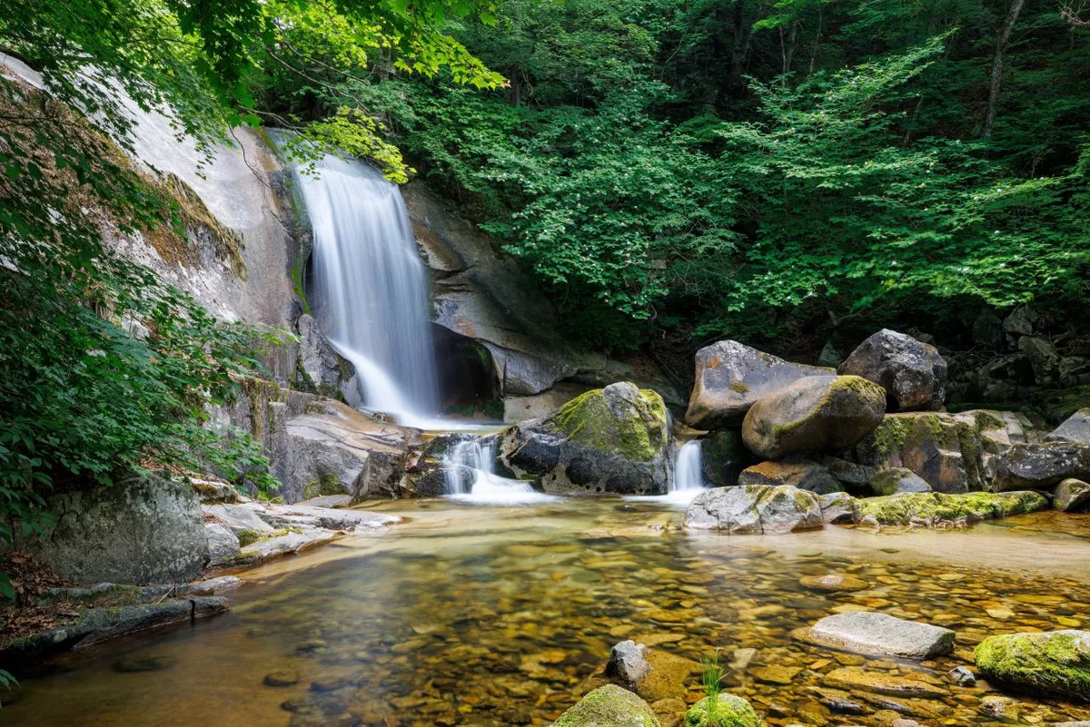 Photo: Korea Tourism Organization Photo Gallery (Girin-myeon, Inje-gun, Gangwon State) · KOGL Type 1
According to the district’s registered trail data, the highest difficulty rating across all seven sections (68.78 km total) is listed as “Easy” — but that figure includes short village paths and valley-trekking stretches, so it doesn’t tell the whole story. The route that actually climbs toward the summit area, from the Bangtaesan Trailhead to the Guryongdeokbong Observation Point, gets its own separate rating of ★★★★★ based on measured distance and elevation gain, which means the difficulty you’ll actually feel on the trail is a lot higher than the blanket “Easy” label suggests. There’s no specific surface data on record, so I can’t say for certain what the footing is like underfoot, but given the mountainous terrain typical of Gangwon Province, you can generally expect dirt trails mixed with rocky, stony patches. Watch out for icy spots in shaded areas during winter, and slippery footing near the valley sections when it rains. The course has 10 confirmed viewpoints, with the Ggitdaebong and Baedareunseok lookout points standing out as the main scenic spots. No sections are officially designated as hazardous, but there are also no shelters along the way — worth keeping in mind, since there’d be nowhere to take cover if the weather suddenly turns.
Distance and Time
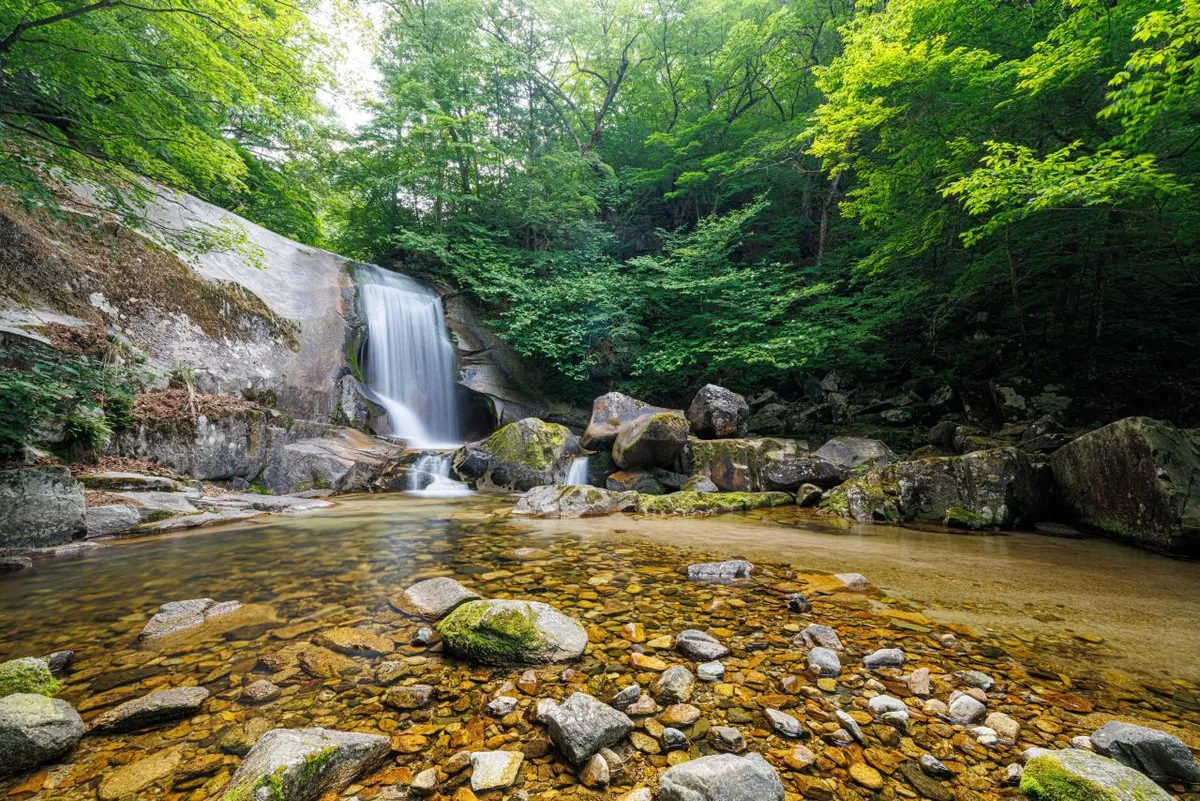 Photo: Korea Tourism Organization photo gallery (Girin-myeon, Inje-gun, Gangwon Special Self-Governing Province) · KOGL
The summit-area course, from the Bangtaesan trailhead to the Guryongdeokbong observation point, runs about 3 hours 48 minutes one way (9.76km) — so a round trip works out to roughly 7-8 hours, comfortably within day-hike range. The cumulative times logged for the entire trail network in the area — 1,798 minutes ascending and 1,261 minutes descending — cover all seven sections combined, so don’t mistake that for the time on any single course. Converting that cumulative figure into a per-distance pace works out to about 26 minutes/km on the ascent, which is a handy reference point against the measured time on the summit course. Given that the trails here add up to 68.78km total and no shelters have been confirmed along the way, anyone planning a multi-section through-hike should plan on at least one overnight rather than trying to knock it out in a day.
Getting There (Public Transit & Parking)
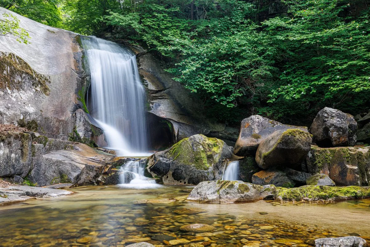 Photo: Korea Tourism Organization Photo Gallery (Girin-myeon, Inje-gun, Gangwon State) · KOGL (Korea Open Government License)
Mt. Bangtaesan sits right on the border between Inje-gun and Hongcheon-gun in Gangwon State, so if you’re coming from Seoul or the greater capital area, the usual route is to catch an intercity bus toward Inje or Hongcheon from the Dong Seoul Bus Terminal (or similar), then switch to a local village bus or taxi once you get there to cover the last stretch to the trailhead. That said, exact route numbers and departure times can shift depending on the season and day of the week, so it’s worth double-checking real-time transit routes on KakaoMap or Naver Map before you head out. If you’re driving instead, keep in mind there doesn’t seem to be an official registered parking lot at the trailhead — better to check ahead for parking at a nearby facility like Bangtaesan Natural Recreation Forest before you go.
Season, Weather & Gear
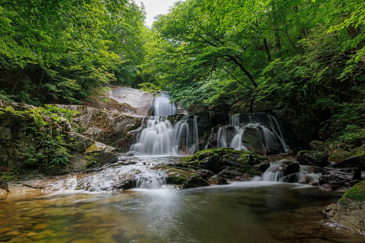 Photo: Korea Tourism Organization photo gallery (Girin-myeon, Inje-gun, Gangwon Special Self-Governing Province) · KOGL Type 1
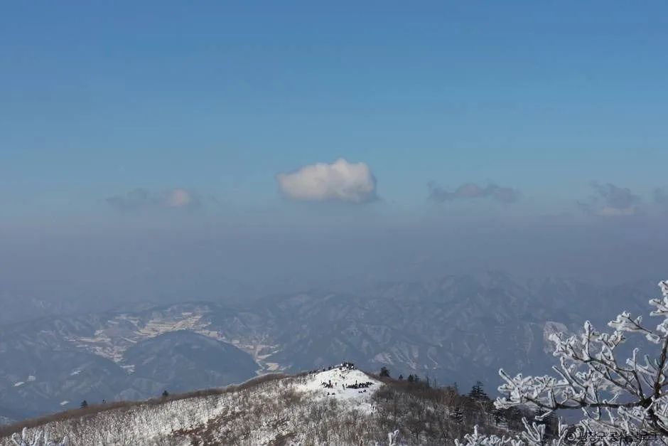
Spring, with its fresh greenery, and fall, when the foliage hits peak color, are generally considered the most pleasant seasons for Mt. Bangtaesan. Summer hikes paired with the valley trekking sections are popular too, but you’ll want to watch out for the heat and rising water levels in the streams. In winter, ice and snow on the shaded stretches make things noticeably harder, so crampons and gaiters are pretty much non-negotiable. Across all seasons, I’d recommend the usual essentials — hiking boots, a change of clothes, plenty of drinking water (there are no confirmed water points along the course, so you have to bring your own), emergency food, a headlamp, and rain gear. And if you’re tackling one of the longer, higher-elevation routes toward the summit, trekking poles and knee braces are worth having too.
Tips for Foreign Travelers
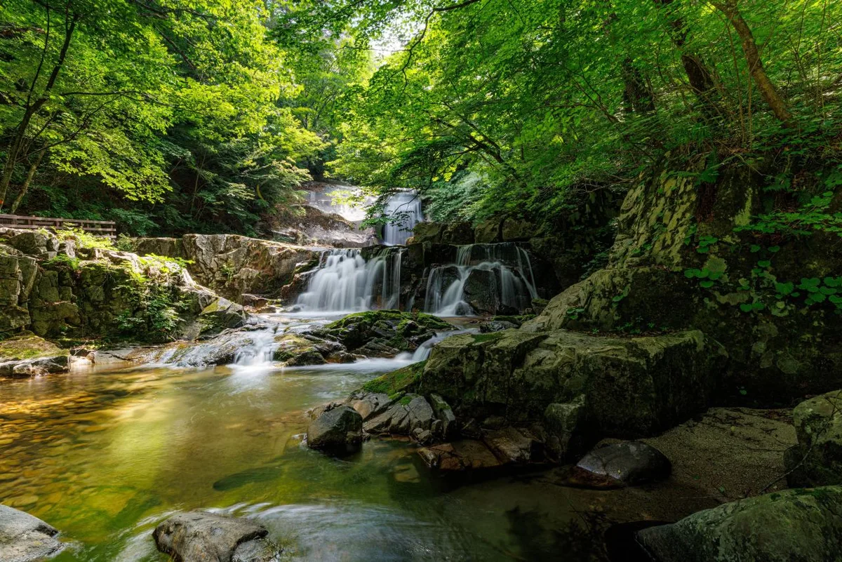 Photo: Korea Tourism Organization Photo Gallery (Girin-myeon, Inje-gun, Gangwon State) · KOGL
Bangtaesan is romanized as “Bangtaesan,” with its summit Jueokbong written as “Jueokbong,” the ridge point Maebongnyeong as “Maebongnyeong,” and Guryongdeokbong — a viewpoint near the summit — as “Guryongdeokbong.” Since this is a regular mountain rather than a national park, there don’t appear to be separate entry permits or fees, but it’s still a good idea to check the latest access conditions with a local information center or management office before you go. Restrooms and drinking water along the trail aren’t confirmed to exist, so use the facilities near the trailhead beforehand and bring plenty of water with you. Google Maps often falls short when it comes to trails and walking routes in Korea, so it’s best to install KakaoMap or Naver Map to check your actual route. Since shelters and nearby amenities are scarce on this mountain, it’s safer to hike with a companion rather than alone, and to plan a generous buffer for your descent so you’re down well before sunset.
Nearby Mountains Worth a Look
- Odaesan Ridge in Gangwon, home to fir forests and yew tree groves — roughly 19 km straight-line
- Gyebangsan in Pyeongchang, Gangwon, with sweeping grassland ridges and views in every direction — roughly 21 km straight-line
- Daeamsan in Changwon, where forest gives way to rocky ridgelines — roughly 36 km straight-line
📍 Bangtaesan's Primeval Ridge Cradling Achimgari Valley, InjeLocation
Contact: bumseok.view [at] gmail [dot] com

Comments