A Ridge Trail Cradling Okcheonsa Valley: Yeonhwasan in Goseong
Hiking · Published 8/3/2026 ·
등산로 트랙·시설 (공공데이터: 전국등산로 공간정보) · 🚩시종점 💧음수대 👁️조망점 🏠대피소 🅿️주차장 ⚠️위험 · 지도 © OpenStreetMap ⤓ GPX 다운로드
At a Glance
| Metric | Rating |
|---|---|
| Accessibility (public transit & parking) | ★★☆☆☆ |
| Trail difficulty | ★★☆☆☆ |
| Water sources on the mountain | ★☆☆☆☆ |
| Need for an overnight stay | ★☆☆☆☆ (easy day trip) |
| Seasonal difficulty — spring | ★★☆☆☆ |
| Seasonal difficulty — summer | ★★★☆☆ |
| Seasonal difficulty — fall | ★★☆☆☆ |
| Seasonal difficulty — winter | ★★★☆☆ |
※ Source: Korea Forest Service trail geospatial data · accessibility and seasonal ratings are rough guides
Overview
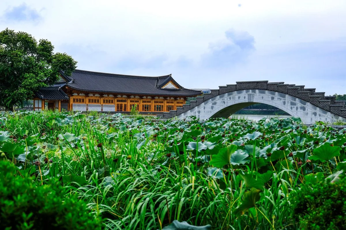 Photo: Korea Tourism Organization tourism photo gallery (Deokjin-gu, Jeonju-si, Jeonbuk State) · KOGL
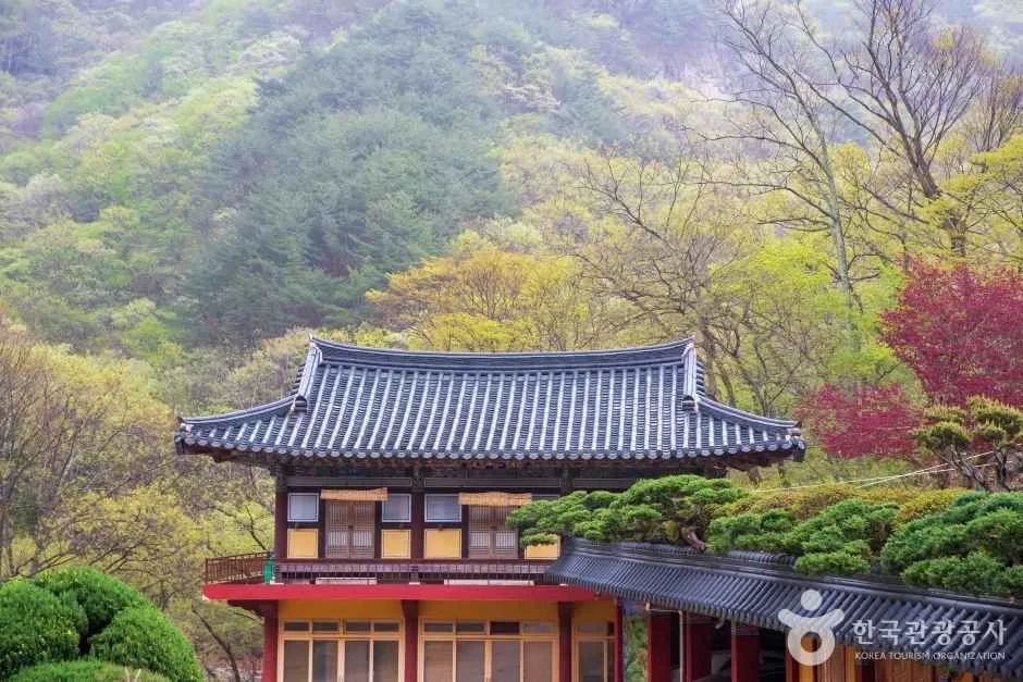
Yeonhwasan (蓮花山) sits in Goseong-gun, Gyeongsangnam-do, and it’s a provincial-park-grade mountain whose summit peaks form a gentle ridgeline in the high 500-meter range. Nearly all of the registered trail sections here have earthen surfaces, and the data classifies every one of them as easy, so it gets described as a mountain that isn’t intimidating to get into. That said, the round-trip route up to the summit area (Sirubong and Yeonhwa Peak 1) covers serious distance and elevation gain, so how hard it actually feels puts it more in intermediate-and-up territory. At the foot of the mountain stands Okcheonsa (玉泉寺), a temple with a thousand years of history behind it, which draws plenty of visitors looking to combine a temple visit with their hike. Even counting the return leg, it’s the right size for a comfortable day hike.
The Lay of the Land
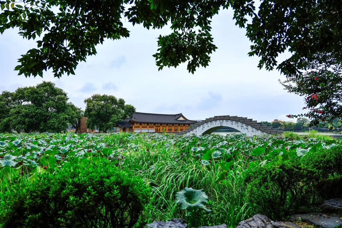 Photo: Korea Tourism Organization tourism photo gallery (Deokjin-gu, Jeonju-si, Jeonbuk State) · KOGL
Yeonhwasan isn’t one sharp summit — it’s a run of peaks strung together along a ridgeline, and that’s really its defining feature. The peaks registered in the public data include Yeonhwa Peak 1 (518m), Yeonhwa Peak 1 again (505m, logged as a separate point), Yeonhwasan at 524m (539m corrected elevation), Namsan at 427m (443m corrected), Seonyubong (405m), Ongnyeobong (404m), Sirubong (576m), and Yeonhwasan (561m). Measured GPX data puts the high point around the summit at 574m. The slight variations in listed elevation from peak to peak look like differences between map sources and actual measurements (GPS/DEM). Overall, the terrain leans more toward a soft, soil-covered mountain than a steep rocky one, with long stretches of gentle up-and-down along the ridge. That said, there are patches of rock mixed in near the summit and around the observation deck, so think of it as a blend of earth and rocky ridge rather than pure dirt trail.
The Feel of the Hike
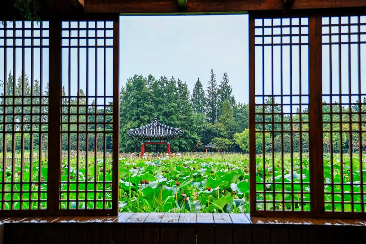 Photo: Korea Tourism Organization photo gallery (Deokjin-gu, Jeonju-si, Jeonbuk State) · KOGL
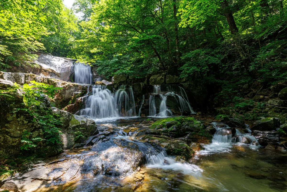
The overall character of the course starts in valley and temple-forest terrain near the trailhead, then opens up more and more as you gain the ridge. Along the stream section by Okcheonsa Temple you get dense woods and the sound of running water together, and once you’re up on the ridge, several viewpoints open out over the lowlands around Goseong and the neighboring peaks. The tread is mostly soft soil, so the walking is fairly easy on the feet — but the out-and-back to the summit is long, and you definitely feel the fatigue piling up in the back half. Spring is known for fresh green growth and flowers around the temple, autumn for foliage that suits the ridgeline well; summer brings humidity and thick undergrowth in the valley section, and winter brings ice on the shaded side of the ridge, both of which push the perceived difficulty up.
Main Routes (by Trailhead)
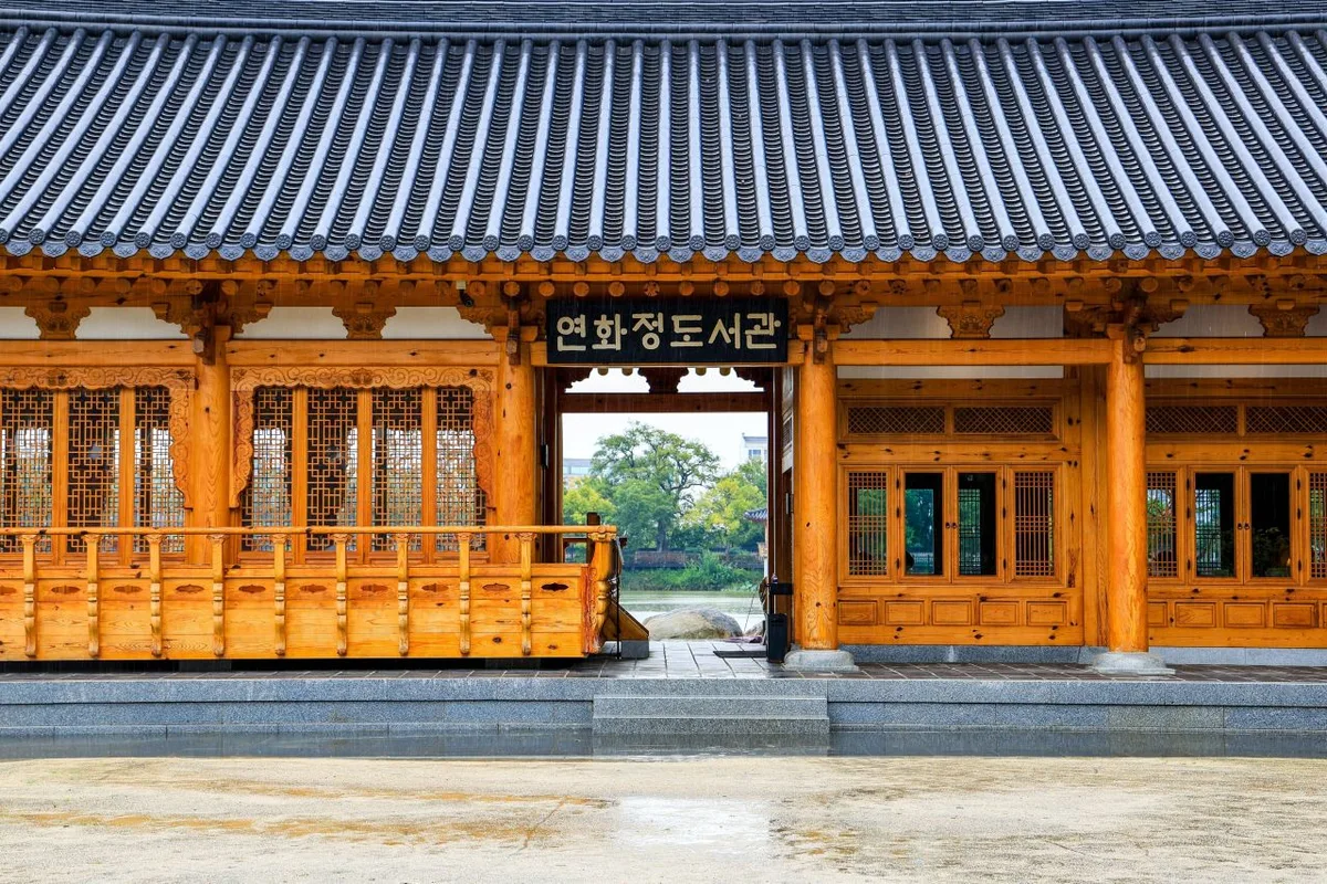 Photo: Korea Tourism Organization photo gallery (Deokjin-gu, Jeonju-si, Jeonbuk State) · KOGL
| Route (trailhead → summit) | Distance | Net elevation gain | Est. time (one way) | Difficulty | Popularity |
|---|---|---|---|---|---|
| Yeonhwasan Provincial Park parking lot → Sirubong | 7.98km | ↕444m | About 2 hr 44 min | ★★★★☆ | ★★★★☆ |
| Okcheon Reservoir parking lot → Yeonhwa Peak 1 | 8.4km | ↕408m | About 2 hr 47 min | ★★★★☆ | ★★★☆☆ |
※ Source: Korea Hiking & Trekking Support Center, 100 Famous Mountains GPX data (distance, elevation, time, difficulty) · Popularity ratings are for reference only
Course 1 — Yeonhwasan Provincial Park Parking Lot → Sirubong
Route: Yeonhwasan Provincial Park parking lot → restroom in the parking lot → dinosaur footprints in the Okcheonsa Temple valley → trail toward Maebong → trail toward Yeonhwa Peak 1 → one bench → Sirubong → Sirubong observation deck → Jeokmyeolbogung → Janggunbong → Junction 26
Getting to the trailhead: The Yeonhwasan Provincial Park parking lot is reportedly near Okcheonsa Temple in Gaecheon-myeon, Goseong-gun. There’s no practical subway access, so the usual approach is a taxi or local bus from downtown Goseong or the nearby intercity bus terminal. A restroom in the parking lot is marked on the trail signage, so you can use it before or after your hike. Public transit doesn’t run often in this area, so I’d recommend checking actual departure times and routes on a map app beforehand.
Highlights and who it suits: This course starts by climbing alongside the Okcheonsa Temple valley, passes sights like the dinosaur footprint fossil site, and continues through the junctions toward Maebong and Yeonhwa Peak 1 all the way to the summit of Sirubong. Since you can take in both the Sirubong observation deck and Jeokmyeolbogung, it’s a good fit for anyone who wants views and Buddhist cultural heritage in one outing. The temple access road at the start makes the early going relatively easy, but the round trip covers a fair distance — so I’d recommend it to intermediate or stronger hikers with some stamina in reserve.
Course 2 — Okcheon Reservoir Parking Lot → Yeonhwa Peak 1
Route: Okcheon Reservoir parking lot → Yeonhwasan Provincial Park trail map → Okcheon Reservoir → parking lot → trail to Yeonhwa Peak 1 → Junction 6 → Yeonhwa Peak 1 → Junction 8 → Junction 9 → bench area → trail to Yeonhwa Peak 2 → Yeonhwa Peak 2 → beacon tower → Junction 14 → Junction 15
Getting to the trailhead: The Okcheon Reservoir parking lot sits right beside the reservoir, and there’s a trail map posted there, so even first-timers can get their bearings fairly easily. Most people drive rather than take public transit — the usual approach is to head out from downtown Goseong by car and park here.
What it’s like / who it’s for: This is a full ridge traverse that opens with reservoir views, climbs over Yeonhwa Peak 1 and Yeonhwa Peak 2, and finishes at the beacon tower. You pass through a number of junctions and knock off one summit after another, which is half the fun. The beacon tower adds a bit of history, so I’d recommend this one if you want something more than just a climb — or if you simply like ridge traverses that string several peaks together. There are more junctions than on Course 1, so it’s worth checking the signs carefully as you go.
Difficulty, Trail Surface, and Cautions
 Photo: Korea Tourism Organization photo gallery (Deokjin-gu, Jeonju-si, Jeonbuk State) · KOGL
Every registered section in the district is classified as “Easy” in the data, as shown below. Surface type isn’t listed for any of them except the Yeongdae-ri section, but overall the trails are mostly packed soil.
| Section (by administrative district) | Total length | Difficulty | Surface |
|---|---|---|---|
| (unnamed section) | 11.98km | Easy | - |
| Bukpyeong-ri section | 3.96km | Easy | - |
| Yeongdae-ri section | 2.75km | Easy | Soil |
| Oseo-ri section | 1.68km | Easy | - |
| Yeonhwa-ri section | 1.57km | Easy | - |
※ These figures are the sum of registered sections by administrative district, not the length of any single hiking course (total trail length in the district: 21.94km).
That said, the summit routes — toward Sirubong and Yeonhwa Peak 1 — actually rate ★★★★☆ in practice, so they feel harder than the district average. Since the surface is mostly soil, there’s little slip risk on a clear day, but rain turns it to mud, and shaded stretches ice over in winter. The course has 5 registered viewpoints and 1 parking lot, so there are plenty of places to stop and take in the view. There are also 2 registered hazard zones, marked as “danger area” and “valley hazard” respectively — take extra care through those. On the other hand, no water fountains are registered anywhere on the trail, so it’s safest to assume there’s nowhere to refill on the way.
Distance and Time Required
 Photo: Korea Tourism Organization photo gallery (Deokjin-gu, Jeonju-si, Jeonbuk State) · KOGL
There are two courses running roughly 2 hours 40–50 minutes one way to the summit area, which puts a round trip at somewhere between 5 and 6 hours — comfortably doable as a day hike. Across the mountain’s entire trail network (21.94 km total), the recorded figures are 440 minutes cumulative ascent and 305 minutes cumulative descent, but keep in mind that’s the sum of every section in the area, not the time for any single course. Working backwards from those totals gives an average ascent pace of about 20 minutes per kilometer, which lines up reasonably well with the estimated one-way times for the summit courses given their distances. There are no registered shelters here, so plan on a day trip rather than anything involving an overnight stay.
Getting There (Public Transit & Parking)
 Photo: Korea Tourism Organization photo gallery (Deokjin-gu, Jeonju-si, Jeonbuk State) · KOGL
Yeonhwasan sits in Goseong-gun, Gyeongsangnam-do, so the usual route is to get yourself to the Goseong intercity bus terminal from Seoul, Busan, Jinju or wherever, then continue on by local bus or taxi toward Okcheonsa Temple and Yeonhwasan Provincial Park. There don’t appear to be any registered bus stops nearby, which makes reaching the trailhead on public transit alone a bit of a hassle — realistically, plan on grabbing a taxi in downtown Goseong or driving yourself. There’s one registered parking lot, at Yeonhwasan Provincial Park, so if you drive, that’s your starting point for the hike. For actual bus timetables and live routing, KakaoMap or Naver Map will serve you far better (Google Maps can be unreliable for transit and walking directions in Korea).
Season, Weather, and Gear
 Photo: Korea Tourism Organization photo gallery (Deokjin-gu, Jeonju, Jeonbuk State) · KOGL
Spring (April–May) and autumn (October–November) are generally considered the best times to go, when you can catch fresh greenery or fall colors. In summer, the valley sections get humid and the undergrowth grows thick, so it feels harder than it looks on paper, and the dirt sections turn slippery in the rain — worth watching your footing. In winter, shaded stretches along the ridge can ice over, so packing crampons and other cold- and ice-weather gear is the safer call. As for essentials, I’d recommend proper hiking boots, extra water (there are no drinking fountains, so bring plenty), a rain jacket just in case, and crampons and gaiters in winter.
Tips for International Visitors
 Photo: Korea Tourism Organization photo gallery (Deokjin-gu, Jeonju-si, Jeonbuk State) · KOGL
Yeonhwasan is romanized as Yeonhwasan (or Mt. Yeonhwa), and the summit-area peaks can be written alongside as Sirubong (시루봉), Yeonhwa-1bong (연화1봉), and so on. The temple at the foot of the mountain is Okcheonsa Temple (옥천사). As a provincial park, the area reportedly doesn’t require any separate hiking permit, but there may be a small cultural heritage admission fee to enter the temple grounds, so check the signs on site. There’s a restroom registered inside the Yeonhwasan Provincial Park parking lot, but no drinking-water points along the trail, so bring plenty of water before you set off. For map apps, KakaoMap or Naver Map give far more accurate trail and public transit information within Korea than Google Maps does, so I’d strongly recommend using one of them alongside it. On Course 2, where the junctions come with a lot of signposts, use your map app’s GPS tracking so you don’t lose the trail — and in the seasons when daylight is short, budget extra time for the descent when you plan your start.
Other Mountains Nearby
- Muhaksan in Changwon, looking out over Masan Bay like a dancing crane — about 29 km as the crow flies
- Hwangmaesan in Hapcheon and Sancheong, a ridge of open plateau covered in royal azaleas and silver grass — about 51 km as the crow flies
📍 A Ridge Trail Cradling Okcheonsa Valley: Yeonhwasan in GoseongLocation
Contact: bumseok.view [at] gmail [dot] com

Comments