Daeam-san in Changwon, Where Forest Gives Way to Rocky Ridgeline
Hiking · Published 8/2/2026 ·
등산로 트랙·시설 (공공데이터: 전국등산로 공간정보) · 🚩시종점 💧음수대 👁️조망점 🏠대피소 🅿️주차장 ⚠️위험 · 지도 © OpenStreetMap ⤓ GPX 다운로드
At a Glance
| Metric | Rating |
|---|---|
| Accessibility (public transit · parking) | ★☆☆☆☆ |
| Trail difficulty | ★★★☆☆ |
| Water on the mountain · springs | ★☆☆☆☆ |
| Overnight stay needed? | ★☆☆☆☆ (a day trip is plenty) |
| Seasonal difficulty — spring | ★★☆☆☆ |
| Seasonal difficulty — summer | ★★★★☆ |
| Seasonal difficulty — autumn | ★★☆☆☆ |
| Seasonal difficulty — winter | ★★★★☆ |
※ Source: Korea Forest Service trail geospatial data · accessibility and seasonal ratings are rough guides
Overview
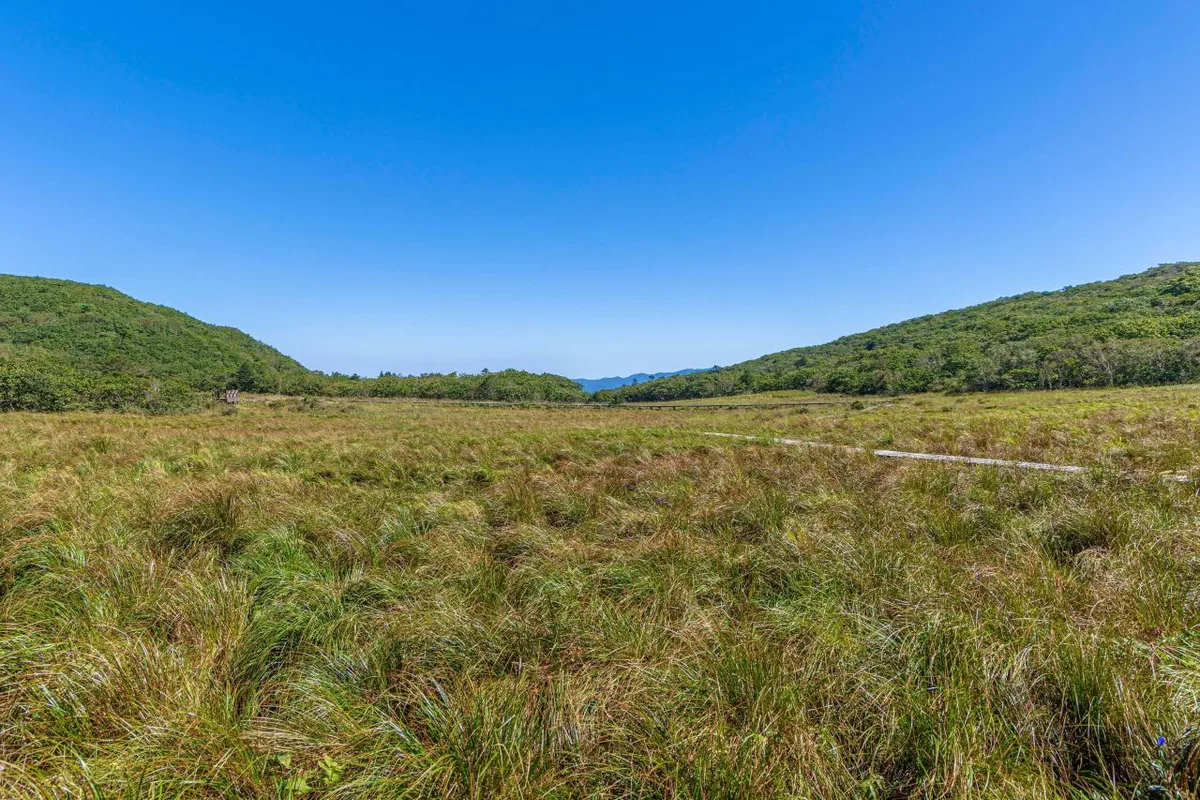 Photo: Korea Tourism Organization photo gallery (Seohwa-myeon, Inje-gun, Gangwon State) · KOGL
Daeamsan sits in the Changwon area of Gyeongsangnam-do, and it’s generally understood to connect by ridgeline to the neighboring slopes of Bulmosan (佛母山). The registered trails in the district add up to about 9.1km across several sections — that’s the combined total of all the trail segments split up by administrative district, not the length of any single course. The data lists the maximum difficulty as “moderate,” so picture a mountain made up mostly of gentle ridge paths rather than steep rocky spines. Given the course lengths and the difficulty rating, this is a day-hike mountain — you can finish it in a single outing.
The Lay of the Land
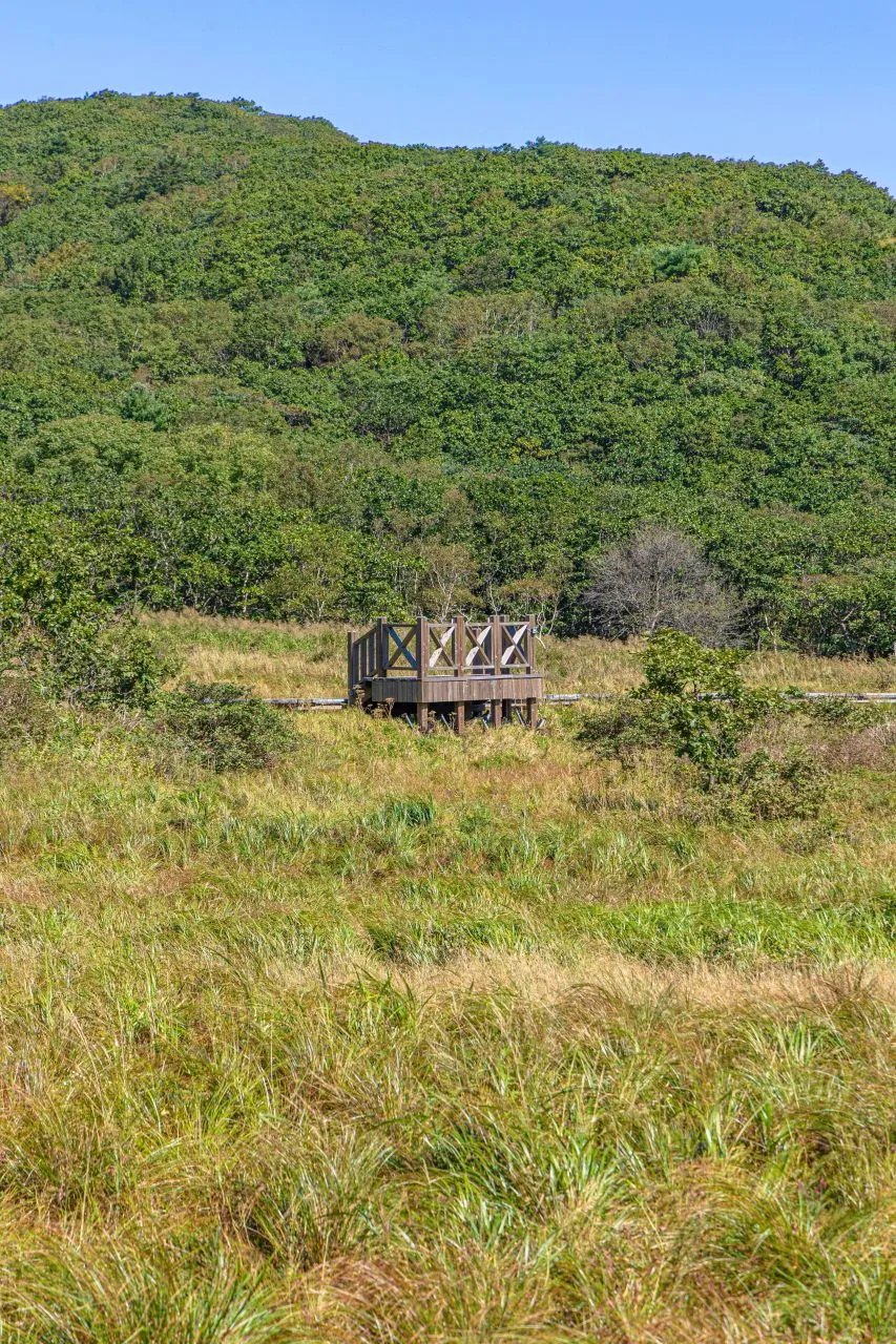 Photo: Korea Tourism Organization tourism photo gallery (Seohwa-myeon, Inje-gun, Gangwon State) · KOGL
Daeamsan is widely known as part of a ridgeline that connects with nearby peaks like Bulmosan, Sirubong, and Ungsan, and there’s a traverse of the whole ridge that’s known among local hiking enthusiasts. The mountain leans more toward the earthy, forested type than the steep rocky sort — gentle ridges under heavy tree cover — with rock patches of various sizes mixed in along the way, which is pretty typical. The exact elevation of the summit isn’t clearly documented in the public data, so I’m not going to pin down a precise figure here. That said, given how it relates to the neighboring peaks, it’s fair to call it a low-to-mid-elevation ridge landscape.
What the Hike Feels Like
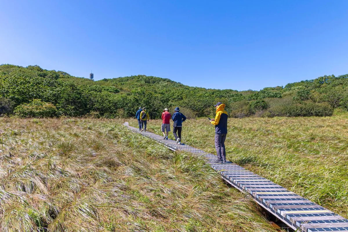 Photo: Korea Tourism Organization photo gallery (Seohwa-myeon, Inje-gun, Gangwon State) · KOGL
The route alternates between forest paths and ridgelines. In summer the dense canopy gives you plenty of shade, though the trade-off is that genuinely open views are fairly limited. Walk the ridge for a while and you’ll hit short stretches of rocky ground mixed in, which keeps the rhythm of the climb from getting monotonous. Spring brings fresh green growth and generally easy footing, while autumn gives you the ridgeline foliage and cool air that make the whole thing feel that much better. In winter, with the leaves down, the ridge often opens up more than you’d expect — just watch out for icy patches.
Main Routes (by Trailhead)
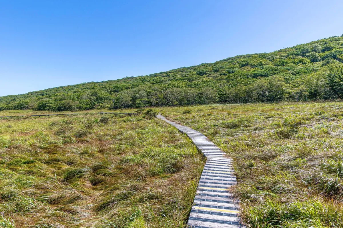 Photo: Korea Tourism Organization photo gallery (Seohwa-myeon, Inje-gun, Gangwon State) · KOGL
The hiking trail sections registered in this district are divided by administrative district (haengjeong-dong), so please note that the section names in the table below aren’t actual route names — they’re just the administrative districts the trail passes through.
| Section (by administrative district) | Distance | Difficulty | Surface |
|---|---|---|---|
| (unnamed section) | 3.01km | Easy | - |
| Sinan-ri section | 2.69km | Easy/Moderate | - |
| Namsan-dong section | 2.62km | Easy | - |
| Daebang-dong section | 0.48km | Easy | - |
| Bulmosan-dong section | 0.3km | Easy | - |
※ The sections above are an administrative-district breakdown of the district’s total trail length (9.1km) — they don’t represent a single hiking route. Source: Korea Forest Service trail geospatial data.
Separately, here’s the summit-area route calculated from GPX data for Korea’s 100 Famous Mountains.
| Route (trailhead → summit) | Distance | Net elevation gain | Est. time (one way) | Difficulty | Popularity |
|---|---|---|---|---|---|
| Junction → summit | 28.74km | ↕0m | About 7 hr 11 min | ★★★★★ | ★★☆☆☆ |
※ Source: Korea Hiking and Trekking Support Center, 100 Famous Mountains GPX (distance, elevation, time, difficulty) · Popularity is for reference only
Course 1 — Trail Junction → Summit
Waypoints: The only waypoint actually recorded in the GPX data is a single “trail junction,” so I couldn’t independently verify the individual signpost segments along the way.
Getting to the trailhead: This looks to be a ridge-traverse route that links up with the neighboring mountain group, and there’s no public data available on bus stops or parking lots. The usual approach, from what I’ve read, is to take a city or village bus in the Changwon/Jinhae area as far as a nearby village and then walk the rest of the way to the trailhead. Before you actually head out, please double-check the current trailhead location and transit options in a map app.
What it’s like / who it’s for: The distance and estimated time are both on the long side — this is less a single-peak hike than a long traverse that takes in the surrounding ridgeline. It suits experienced hikers who are confident in their fitness and can set aside a full day for it. I wouldn’t recommend it for beginners or anyone hoping to be done in a couple of hours.
Difficulty, Trail Surface, and Things to Watch For
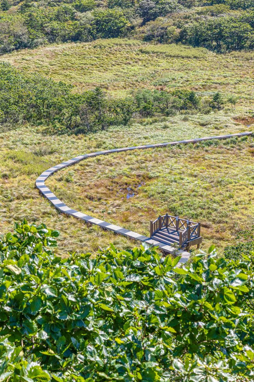 Photo: Korea Tourism Organization photo gallery (Seohwa-myeon, Inje-gun, Gangwon State) · KOGL
Most of the registered sections in the district are rated “Easy,” with only the Sinan-ri section bumped up slightly to “Easy/Moderate,” so hiking any of these shorter sections isn’t much of a burden overall. The summit route based on the Top 100 Mountains GPX data, on the other hand, runs a full 28.74 km and carries a ★★★★★ rating — a stark reminder of just how wide the gap is between the short stroll-style sections and the long-haul traverse. There’s no detailed data on the trail surface, but ridge trails like this often mix in rocky slabs and scree, so watch your footing when it rains and be careful of ice in winter. The public data lists zero registered viewpoints, drinking fountains, shelters, and hazard zones — so don’t count on scenic overlooks, places to refill water, or anywhere to take emergency shelter along the way.
Distance and Time Required
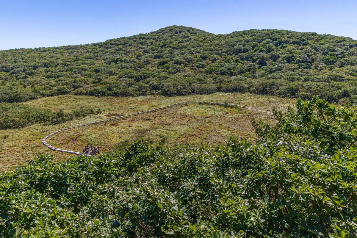 Photo: Korea Tourism Organization tourism photo gallery (Seohwa-myeon, Inje-gun, Gangwon State) · KOGL
Add up every trail section within the district and you get 228 minutes going up and 160 minutes coming down. Important caveat: that’s not the time for walking a single course — it’s the total for all the sections in the area combined, so don’t mistake it for how long any one course takes. Convert that total against the distance and the average ascent pace works out to roughly 25 minutes per kilometer. For the full summit traverse (junction → peak, 28.74 km), a distance-and-elevation calculation puts one way at about 7 hours 11 minutes, which is on the long side for a single-day hike — you’ll want an early start and plenty of margin. If you’re only doing the shorter sections in the area, though, half a day is more than enough.
Getting There (Public Transit & Parking)
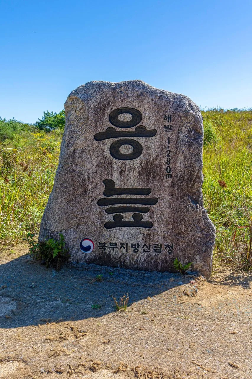 Photo: Korea Tourism Organization tourism photo gallery (Seohwa-myeon, Inje-gun, Gangwon State) · KOGL
There’s no subway service anywhere near Daeam-san, so most people get there by city bus or village bus from the Changwon or Jinhae direction. That said, public data shows zero bus stops and zero parking lots in the vicinity, which means there’s no official information available on transit connections to the actual trailhead or on where to leave your car. Before you go, search “대암산” (Daeam-san) or a nearby place name on KakaoMap or Naver Map to get up-to-date details on the real trailhead access road, bus routes, and whether parking is available. Google Maps is often unreliable for Korean trails and back roads, so treat it as a rough reference only and stick to the domestic map apps when you’re actually checking your route.
Season, Weather, and Gear
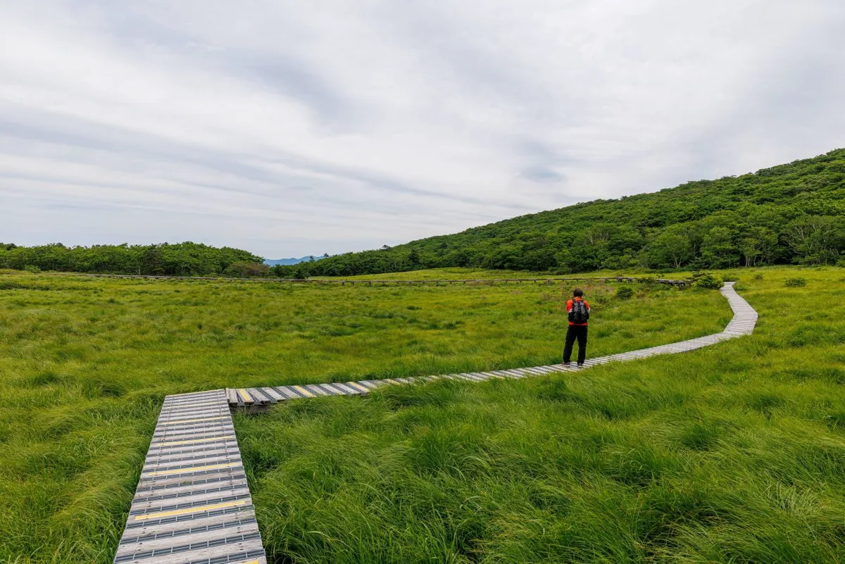 Photo: Korea Tourism Organization photo gallery (Buk-myeon, Inje-gun, Gangwon State) · KOGL
The best seasons for hiking here are spring (April–May) and autumn (September–November), when the temperature and humidity make ridge walking comfortable. In summer the dense forest gives you plenty of shade, but the heat and humidity drain you fast, and since there are no confirmed water fountains in the area, bringing plenty of water is essential. In winter, ice on the ridges and rocky sections means you’ll want crampons and proper cold-weather gear. For the basics, pack hiking boots, trekking poles, a spare layer, enough water and snacks, and a headlamp if you’re doing the long traverse. If you are planning the long traverse, check the sunset time beforehand and give yourself a generous margin for the descent.
Tips for International Visitors
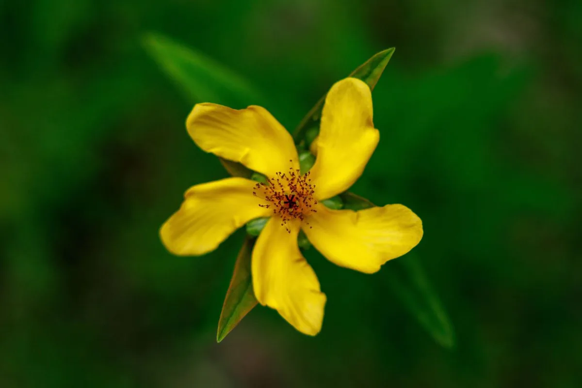 Photo: Korea Tourism Organization photo gallery (Buk-myeon, Inje-gun, Gangwon State) · KOGL
Daeamsan is romanized as “Daeamsan,” and it’s connected by ridgeline to neighboring Bulmosan. There’s no record of any hiking permit or entrance fee, so the mountain appears to be open to hikers without restriction — but do double-check the signage on site or look for up-to-date information before you go. Public data lists no facilities such as restrooms or drinking fountains, so it’s safest to use a restroom in town before you set out and carry plenty of water. For maps, KakaoMap or Naver Map will serve you far better than Google Maps when it comes to actual trail data and public transit info. Public transportation in the area is limited, so if you can, ask your accommodation or a local tourist information center about taxis and current transit options ahead of time. Much of the ridge sees very little foot traffic, so if you’re hiking solo, tell a family member or friend your plan beforehand and make sure you’ve got plenty of phone battery and a way to call for help.
Other mountains nearby
- A ridge of old pines wrapped around Gurun Reservoir: Gongjaksan in Hongcheon — about 51 km as the crow flies
📍 Daeam-san in Changwon, Where Forest Gives Way to Rocky RidgelineLocation
Contact: bumseok.view [at] gmail [dot] com
Related posts
-
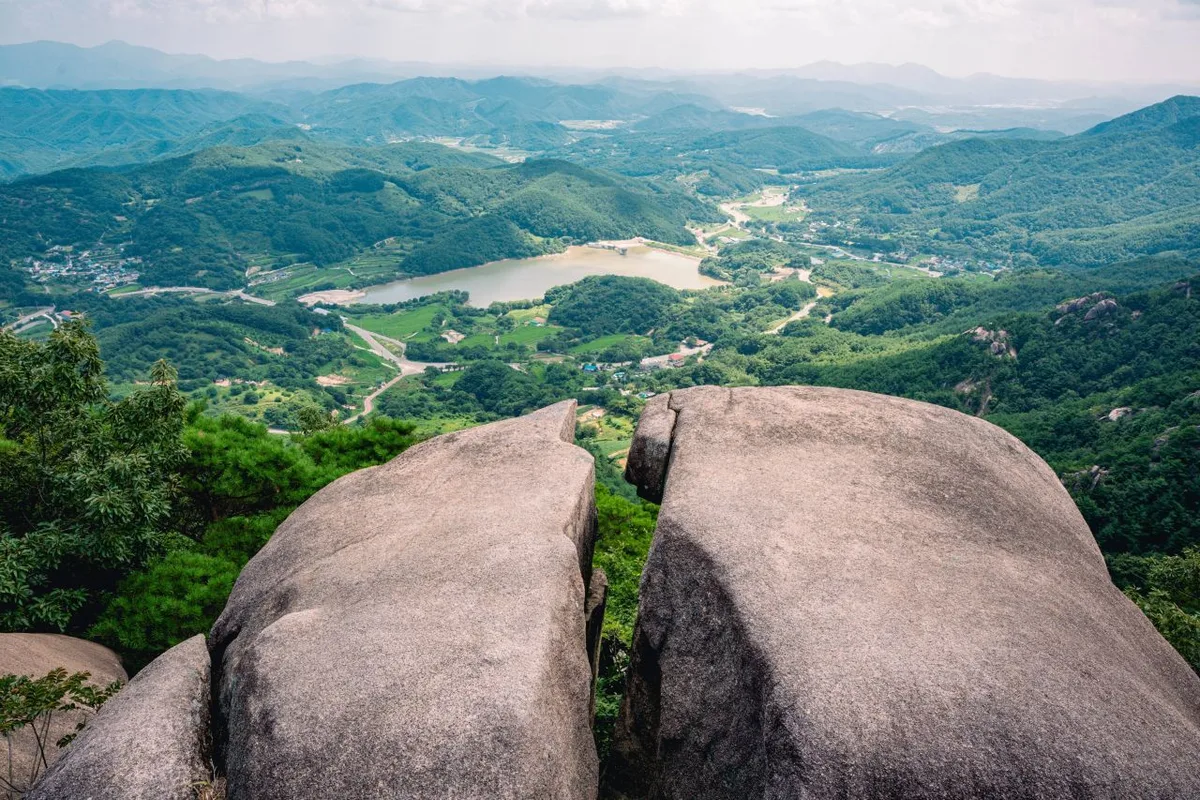
Ridgeline Meadows of Royal Azalea and Silver Grass: Hwangmaesan in Hapcheon and Sancheong
-
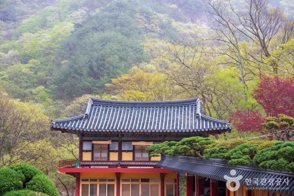
Through Thick Forest to a Highland Ridge: Cheonseongsan in Yangsan
-
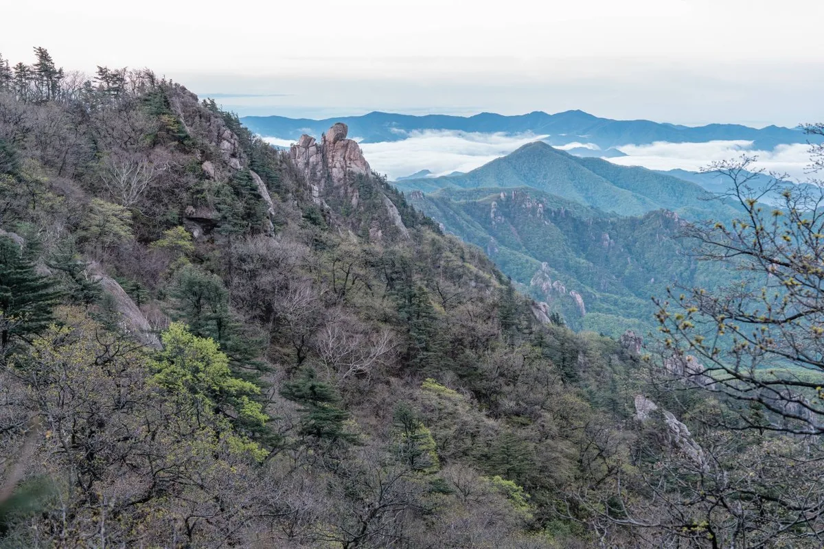
Wild Meadows on the Gombaewol Ridge, a Primeval Forest in Jeombongsan, Gangwon
-
Sweeping Grassy Ridges and 360° Views: Mt. Gyebangsan in Pyeongchang, Gangwon
Comments