Wild Meadows on the Gombaewol Ridge, a Primeval Forest in Jeombongsan, Gangwon
Hiking · Published 8/25/2026 ·
등산로 트랙·시설 (공공데이터: 전국등산로 공간정보) · 🚩시종점 💧음수대 👁️조망점 🏠대피소 🅿️주차장 ⚠️위험 · 지도 © OpenStreetMap ⤓ GPX 다운로드
At a Glance
| Metric | Rating |
|---|---|
| Accessibility (public transit/parking) | ★☆☆☆☆ |
| Trail Difficulty | ★★☆☆☆ |
| Water/Springs on the Mountain | ★☆☆☆☆ |
| Overnight Stay Needed | ★★★☆☆ (1 night if doing the full traverse) |
| Seasonal Difficulty - Spring | ★★☆☆☆ |
| Seasonal Difficulty - Summer | ★★★☆☆ |
| Seasonal Difficulty - Fall | ★★☆☆☆ |
| Seasonal Difficulty - Winter | ★★★★☆ |
※ Source: Korea Forest Service trail geospatial data · accessibility and seasonal ratings are for reference only
Overview
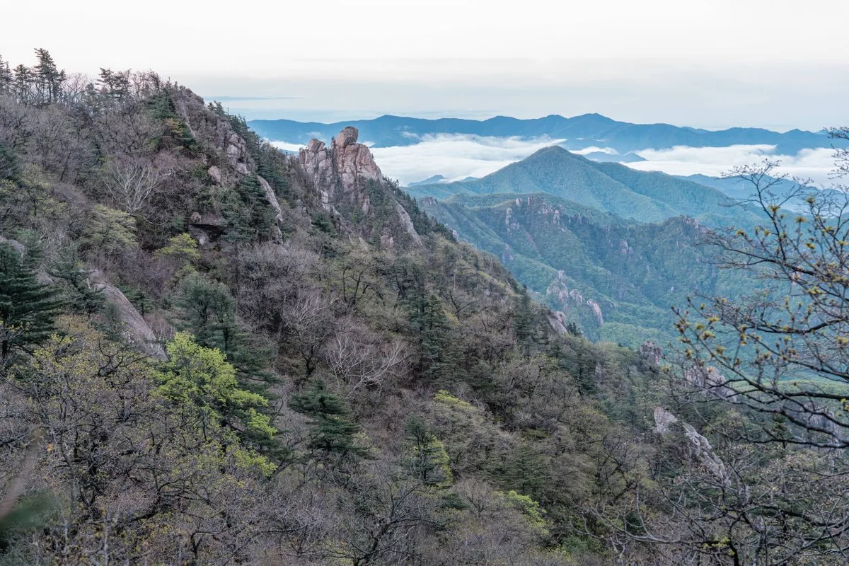 Photo: Korea Tourism Organization photo gallery (Sokcho, Gangwon Special Self-Governing Province) · KOGL
Jeombongsan (點鳳山) sits right on the border between Inje and Yangyang counties in Gangwon Province. Its summit officially tops out at 1,424m, but the go-to route covered in this guide focuses on the stretch up to the main viewpoint near the top, at 1,131m. It cradles the ridge saddle better known as “Gombaeryeong,” and the mountain has earned real fame — enough to be designated a UNESCO Biosphere Reserve — for its untouched old-growth forest and wildflower meadows. The data classifies it as “easy,” but in practice it’s a gentle round trip of roughly 4 hours, easily doable as a day hike. That said, the trail network in the area adds up to quite a bit of total distance, so if you’re hoping to string together several sections, it’s worth planning for an overnight stay or more.
Mountain Shape and Terrain
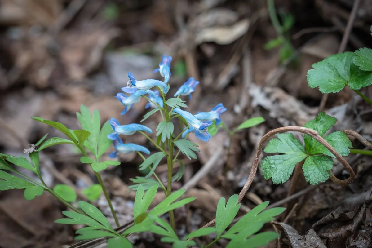 Photo: Korea Tourism Organization Tourism Photo Gallery (Inje-gun, Gangwon Special Self-Governing Province) · KOGL Type 1
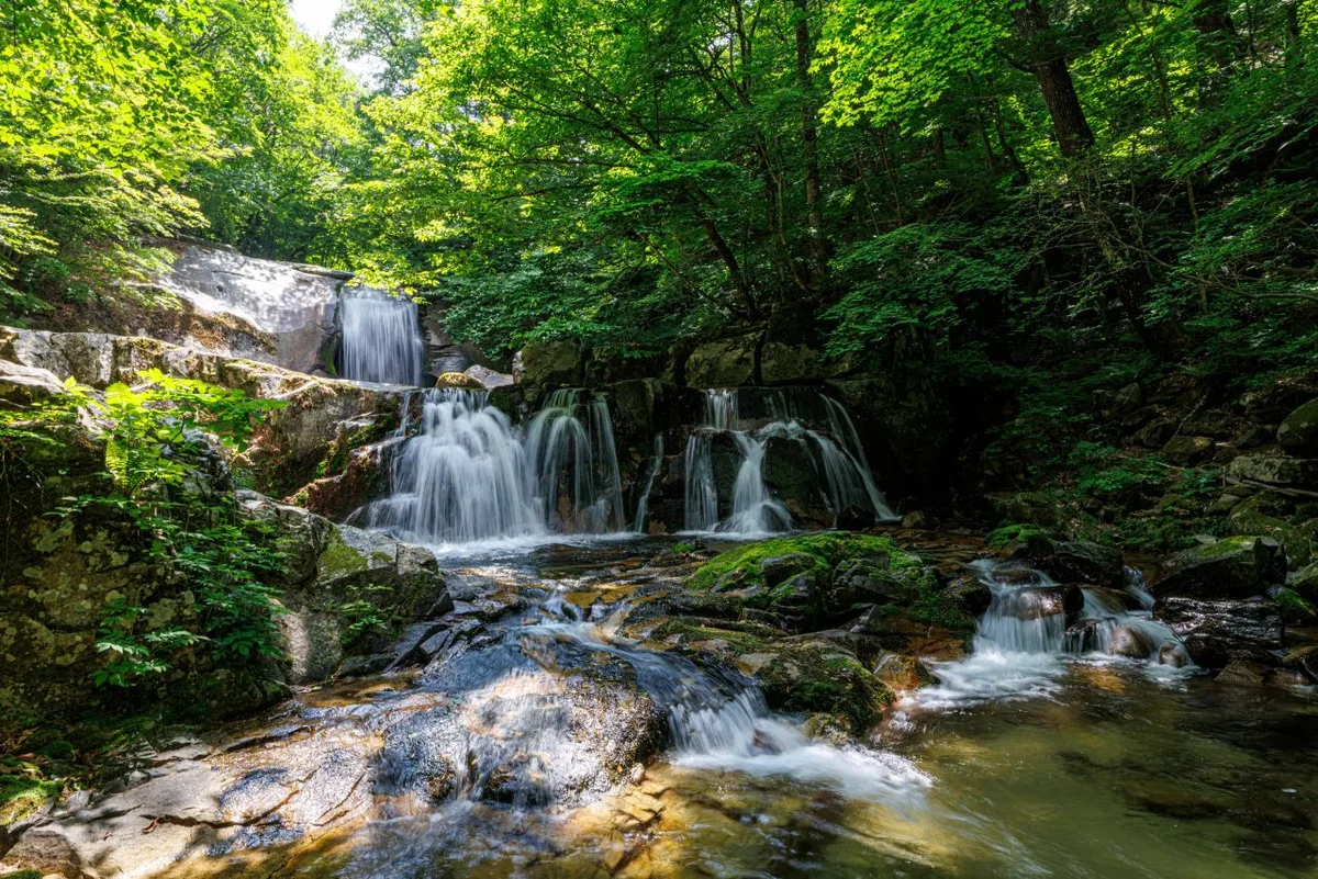
Jeombongsan is an “earthen mountain” (yuksan) in the same family as nearby Seoraksan National Park — rather than jagged rock peaks, it’s known for its gentle ridgelines and dense broadleaf forest. Its signature landform is the Gombaeryeong area, a sweeping grassy plateau with no trees at all, giving it a look quite different from the other mountains in Gangwon. The valleys hold a mix of large and small waterfalls and pools, and the trail from the entrance up toward the summit area starts as an easy valley walk before gradually gaining elevation. There’s not much in the way of rocky sections or ridge scrambles, so overall the mountain has a mild, approachable character.
Hiking Impressions
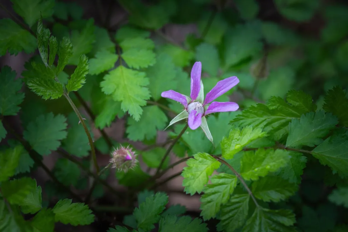 Photo: Korea Tourism Organization Photo Gallery (Inje-gun, Gangwon State) · KOGL
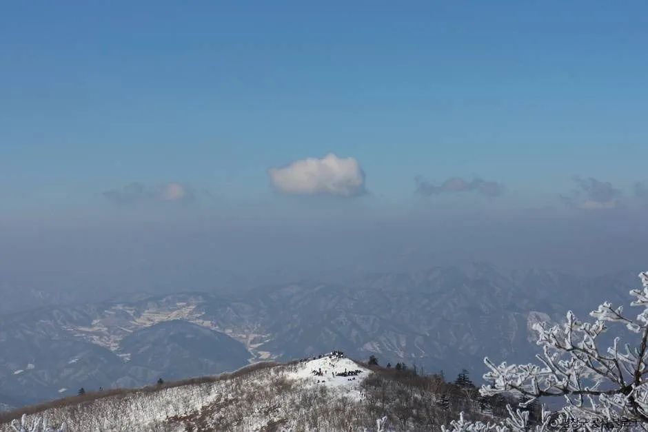
From the trailhead, the trail follows a valley for the first stretch, so even in summer you get a nice cool shade under the trees. Walking through what feels almost like an old-growth broadleaf forest, you’ll pass a good variety of wildflowers and other plant life — one of the real highlights of this hike. As you climb higher, the views start to open up, and near the summit viewpoint at Gombaeryeong you’re met with sweeping panoramas of ridgelines and grassy meadows stretching out in every direction. There’s barely any steep or hazardous terrain, so it doesn’t feel especially demanding, but the distance itself isn’t short, so you’ll want a decent baseline of stamina to make it all the way. Seasonally, it’s known for its wildflowers in spring, lush greenery and the sound of the stream in summer, and autumn foliage in fall — all worth timing a visit around.
Main Routes (by Trailhead)
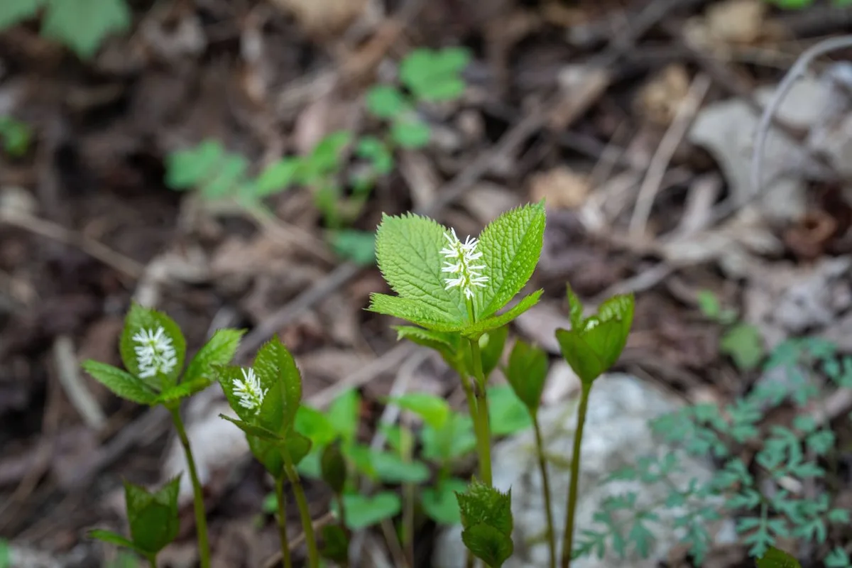 Photo: Korea Tourism Organization Photo Gallery (Inje-gun, Gangwon State) · KOGL Type 1
| Route (Trailhead → Summit) | Distance | Elevation Gain | Est. Time (One-way) | Difficulty | Popularity |
|---|---|---|---|---|---|
| Entrance → Gombaeryeong Summit Viewpoint | 5.32km | ↕392m | ~1 hr 59 min | ★★★☆☆ | ★★★★☆ |
※ Source: Korea Forest Service Trekking Support Center’s Top 100 Mountains GPX data (distance, elevation, time, difficulty) · popularity is for reference only
Course 1 — Entrance to Gombaeryeong Summit
Route: Private paid parking lot → Snack shop → Parking lot restrooms → Air gun (to prevent foreign seed contamination) → Entrance → Jeombongsan Ecological Management Center → Air gun (foreign seed prevention) → Waterfall → Fork in the trail → Rest area → Gombaeryeong “last house” ridge → Private shop restrooms → Gombaeryeong summit viewpoint → Gombaeryeong summit
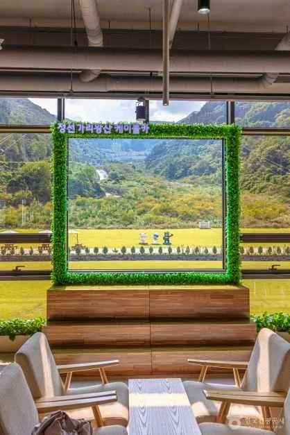
Getting to the trailhead: The entrance to the Gombaeryeong trail on Jeombongsan is located around Jindong-ri, Girin-myeon, Inje-gun, Gangwon-do, and it’s a bit of a hassle to reach using public transit alone. From Seoul and the greater capital area, the usual route is to take an intercity bus from Dong-Seoul Terminal toward Inje/Hyeolli, then transfer to a local bus or taxi in Hyeolli for the final stretch to Jindong-ri (the Gombaeryeong entrance). Public transit here runs on a pretty sparse schedule, so driving yourself makes things a lot easier — there’s a private paid parking lot right near the entrance.
Highlights and who it’s for: The early valley section is gentle and well-shaded, making it an easy climb even for families or hiking beginners. Once you pass the Jeombongsan Ecological Management Center, you get to enjoy the unique vegetation of old-growth forest, and the sweeping grassland views near the summit viewpoint are widely considered the highlight of the whole course. With few steep sections, it’s not too demanding physically, yet still rewards you with summit-level views — making it a great pick for anyone who wants a relaxed hike paired with some real nature-watching along the way.
Difficulty, Terrain & Cautions
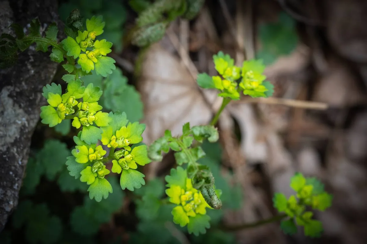 Photo: Korea Tourism Organization Photo Gallery (Inje-gun, Gangwon State) · KOGL
According to the Korea Forest Service’s trail spatial data, Jeombongsan’s highest recorded difficulty rating is “Easy,” with 3 registered trail segments in the area totaling 29.96 km. There’s no separate surface-type data provided, but the trails are generally known to be dirt paths and gentle walking trails, so the slip risk you’d get on rocky sections isn’t much of a concern here. That said, the public data lists zero hazard zones and zero designated viewpoints, meaning no dedicated safety facilities or lookout amenities are confirmed for this mountain. There are 9 registered trailheads/exit points in total, which tells you this is a mountain you can access from quite a few different directions. After rain, water volume in the valley sections can rise, so take care crossing waterfall and stream areas, and in winter, icy patches can form — without winter gear like crampons, heading up can be difficult.
Distance and Estimated Time
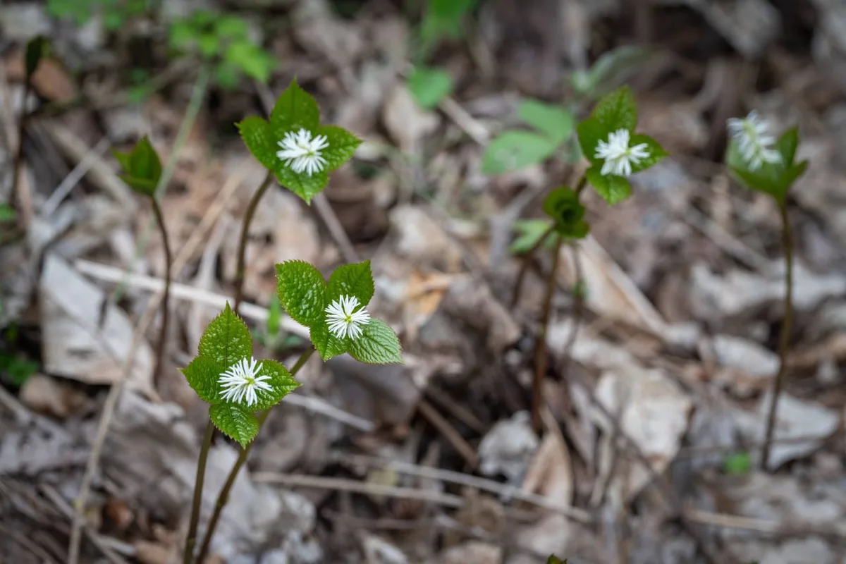 Photo: Korea Tourism Organization Photo Gallery (Inje-gun, Gangwon State) · KOGL
According to the data covering the full trail network within Jeombong Mountain (all three sections combined), the total ascent time comes to 543 minutes and descent to 381 minutes, which works out to an average uphill pace of roughly 18 minutes per kilometer. Keep in mind that’s a cumulative figure across the whole network, not the time for any single course — don’t mistake it for that. For the main route most people actually hike — entrance to the Gombaeryeong summit viewpoint — GPX-based calculations put the one-way time at about 1 hour 59 minutes, so a round trip runs around 4 hours, easily doable as a day hike. That said, if you’re stringing together several of the trails around Gombaeryeong, or connecting on toward the Seoraksan ridgeline nearby, the total distance grows substantially, and you’d be better off planning for an overnight stay or longer.
Getting There (Public Transit & Parking)
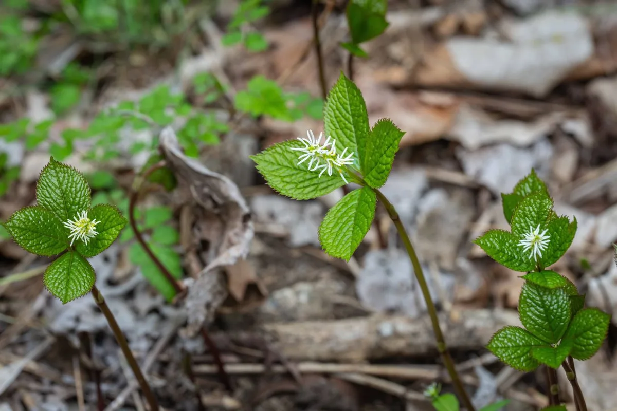 Photo: Korea Tourism Organization Tourism Photo Gallery (Inje-gun, Gangwon Special Self-Governing Province) · KOGL Type 1
If you’re coming from the greater Seoul area, the usual route is to take an intercity bus from Dong Seoul Bus Terminal to Inje or Hyeol-li, then transfer at Hyeol-li Intercity Bus Terminal to a local county bus or taxi heading toward Jindong-ri (Gombaeryeong). Since buses run infrequently and a transfer is involved, it’s a good idea to double-check real-time transit routes and schedules on KakaoMap or Naver Map before you set out. If you’re driving, take the Seoul-Yangyang Expressway toward Inje, then continue on toward Jindong-ri — there are private paid parking lots near the trailhead entrance. Public data doesn’t have records of bus stops or public parking lots in the immediate area, so keep in mind this is a trailhead that relies heavily on private facilities.
Ready to translate. Here’s the English version:
Season, Weather, and Gear
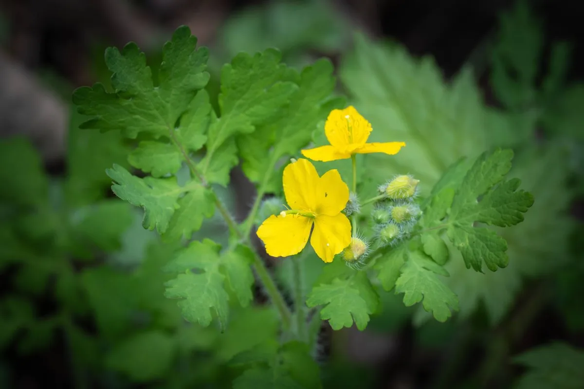 Photo: Korea Tourism Organization Photo Gallery (Inje County, Gangwon State) · KOGL Type 1
Jeombongsan is best known as a spring wildflower destination (April–May) and a fall foliage spot (late September–October), and in summer the dense forest canopy keeps the trail pleasantly cool. That said, heavy summer downpours can swell the valley streams and raise the risk of falling rocks, so it’s worth checking the weather forecast before you head out. Winter brings ice and snow that make the trail noticeably harder, so crampons, gaiters, and cold-weather gear are essential. As for basics, bring proper hiking boots, a change of clothes, plenty of water (there’s no confirmed spring along the way, so carry your own), a headlamp, and some emergency food. The Gombawi Pass area sometimes operates on a reservation system for visitors, so it’s a good idea to check ahead of time whether you’ll need to book.
외국인 여행자 팁
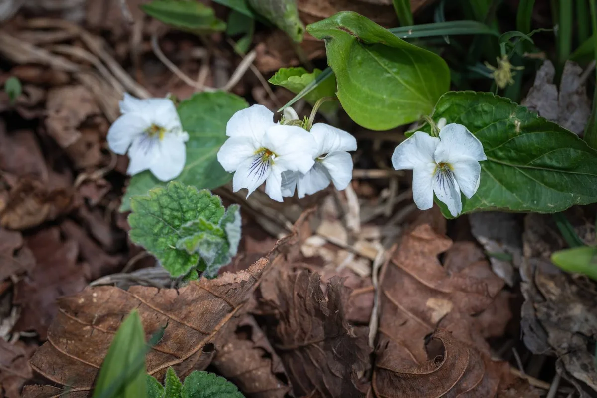 사진: 한국관광공사 관광사진 갤러리 (강원특별자치도 인제군) · 공공누리
Jeombongsan’s star attraction, Gombaeryeong, is romanized as “Gombaeryeong,” and you can point people to the summit lookout as the “Gombaeryeong Summit Viewpoint.” Because the area is under ecological protection, there may be a reservation system or a cap on daily visitors, so check with the national park or the management office beforehand to see if you need to book a slot. Restrooms are available near the parking lot and the small shop, but public data doesn’t show any water stations along the trail itself, so bring plenty of your own drinking water. Google Maps tends to be unreliable for Korean hiking trails, so I’d strongly recommend using KakaoMap or Naver Map instead for route-finding and checking transit options. Cell signal can get spotty in parts of the trail, so it’s worth downloading offline maps before you set out and letting someone know your hiking plan — just basic precautions, but ones worth taking.
Other Nearby Mountains
- Mt. Bangtae in Inje, a primeval-forest ridge cradling Achimgari Valley — about 16km away as the crow flies
- The Odaesan ridge in Gangwon, home to fir forests and yew groves — about 29km away as the crow flies
- Mt. Daeam in Changwon, where forest and rocky ridgelines run together — about 30km away as the crow flies
📍 Wild Meadows on the Gombaewol Ridge, a Primeval Forest in Jeombongsan, GangwonLocation
Contact: bumseok.view [at] gmail [dot] com

Comments