Sweeping Grassy Ridges and 360° Views: Mt. Gyebangsan in Pyeongchang, Gangwon
Hiking · Published 8/9/2026 ·
등산로 트랙·시설 (공공데이터: 전국등산로 공간정보) · 🚩시종점 💧음수대 👁️조망점 🏠대피소 🅿️주차장 ⚠️위험 · 지도 © OpenStreetMap ⤓ GPX 다운로드
At a Glance
| Metric | Rating |
|---|---|
| Accessibility (public transit/parking) | ★★☆☆☆ |
| Trail difficulty | ★★☆☆☆ |
| Water/springs on the mountain | ★★★☆☆ |
| Overnight stay needed? | ★☆☆☆☆ (a day trip is plenty) |
| Seasonal difficulty – Spring | ★★☆☆☆ |
| Seasonal difficulty – Summer | ★★★☆☆ |
| Seasonal difficulty – Fall | ★★☆☆☆ |
| Seasonal difficulty – Winter | ★★★★☆ |
※ Source: Korea Forest Service trail geospatial data · accessibility and seasonal ratings are for reference only
Overview
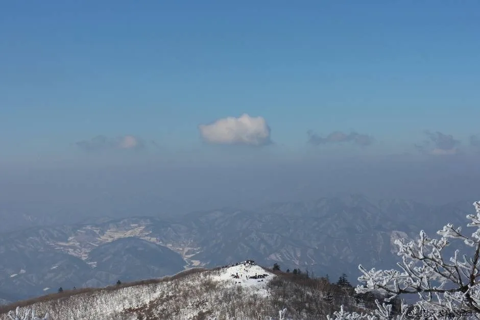 Photo: Korea Tourism Organization photo gallery (1243 Undubong-ro, Yongpyeong-myeon, Pyeongchang-gun, Gangwon Special Self-Governing Province) · KOGL Type 1
Gyebangsan sits right on the border between Pyeongchang and Hongcheon counties in Gangwon Province, and depending on which source you check, its summit elevation is listed anywhere from 1,572 to 1,601 meters — either way, it’s widely regarded as one of South Korea’s standout high peaks. What’s nice about it, though, is that despite that elevation it’s more of a “soft” mountain (육산), with gentle slopes and rounded ridgelines, so the climb itself isn’t nearly as tough as the number suggests. On the main route, you can comfortably do the round trip in a single day. Even the public trail-data rates the toughest section on this mountain as just “easy,” so as long as you come reasonably prepared, it’s a peak beginners can take on without much worry.
Terrain and Landscape
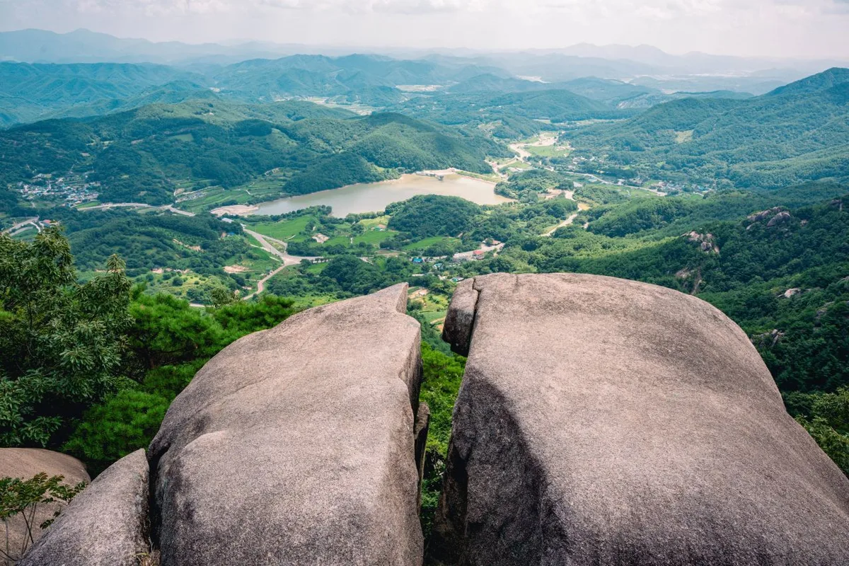
Mt. Gyebangsan isn’t really a jagged, rocky-peaked mountain — it’s more the classic “soil mountain” type, with broad, thick ridgelines running through it. Up near the summit, the terrain flattens out into something close to open grassland, which is apparently why you get unobstructed views in every direction up there. The public data lists two main peaks: Gyebangsan Summit (1,580m) and Gyebangsan (1,572m) — a good sign that the top isn’t one single sharp point but a gentle stretch of high ground with a couple of recognized high spots along it. Overall, the mountain is known less for steep rocky ridges and more for dirt trails and grassy patches, winding through forest that mixes oak, fir, and yew with other conifers and broadleaf trees.
Feel of the Climb
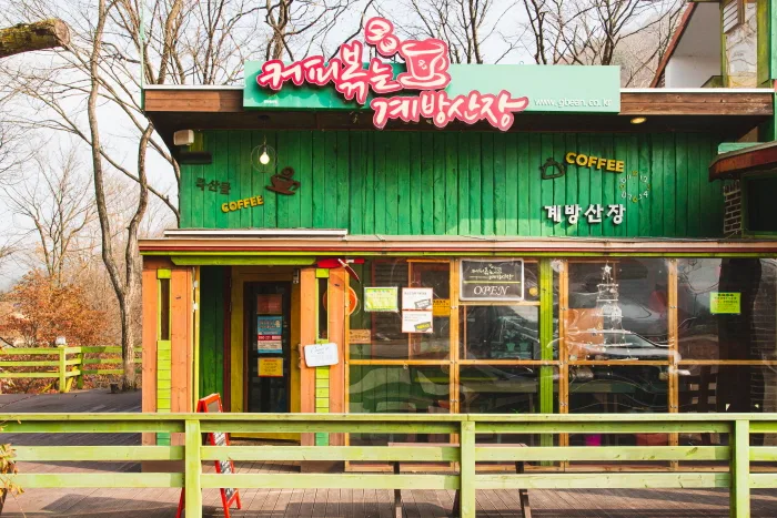 Photo: Korea Tourism Organization photo gallery (728-3 Undurung-ro, Yongpyeong-myeon, Pyeongchang-gun, Gangwon State) · KOGL
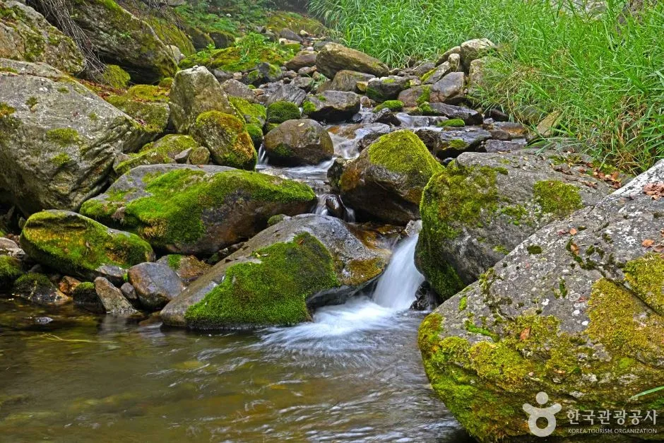
Gyebangsan is one of those mountains where you spend most of the climb, from the very start to the summit, walking through dense forest. In summer, the thick canopy blocks out the sky, so the trail stays shady and pleasantly cool, and in fall it’s known for that satisfying crunch of fallen leaves underfoot along with the autumn colors. As you get closer to the top, the trees start thinning out and shrinking, the view opens up, and the summit itself rewards you with a real sense of openness — ridgelines and horizon stretching out in every direction. It’s less about thrilling scrambles up sheer rock faces and more of an endurance hike, a steady, unglamorous grind uphill. And that’s part of its appeal: the seasons show up here in sharp contrast, from fresh spring green to deep summer foliage to fall colors to snow-covered winter scenes.
Main Trails (by Trailhead)
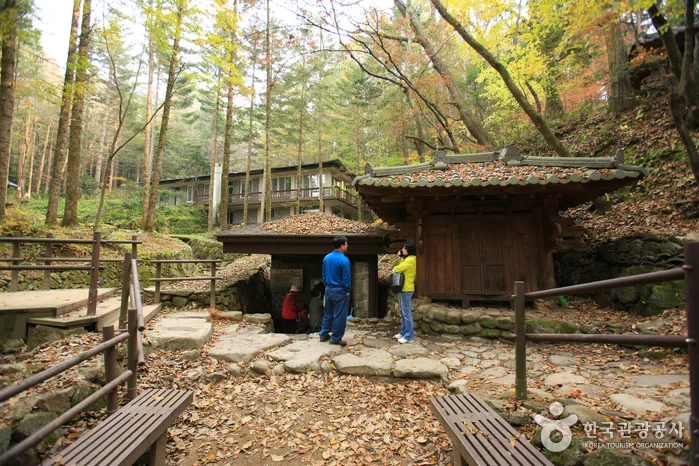 Photo: Korea Tourism Organization photo gallery · KOGL
| Trail (trailhead → summit) | Distance | Elevation gain | Est. time (one-way) | Difficulty | Popularity |
|---|---|---|---|---|---|
| Rest area → Summit | 4.71km | ↕819m | ~2 hr 33 min | ★★★★☆ | ★★★☆☆ |
| Entrance → Viewpoint | 4.06km | ↕460m | ~1 hr 47 min | ★★★☆☆ | ★★★★☆ |
※ Source: Korea Forest Service/Korea Trekking Support Center Top 100 Mountains GPX data (distance, elevation, time, difficulty); popularity is a rough reference only
Course 1 — Simple Rest Area → Summit
Route: Simple rest area → wild boar tracks → royal azaleas → Gwidaegam Rock → fork in the trail → rest area → trailhead information board
Getting to the trailhead: The trailhead at the simple rest area starts from the southwest slope of Mt. Gyebang, and driving your own car is generally known to be more convenient here than relying on public transit. Most people come in through the nearby villages in the Yongpyeong-myeon area of Pyeongchang County. If you’re relying on public transportation, the usual approach is to take a bus to Pyeongchang Intercity Bus Terminal or the train to Jinbu Station, then transfer to a local village bus or taxi. Public data doesn’t show any registered bus stops or parking lots in the immediate area, so I’d recommend double-checking the actual road conditions and parking availability on a map app before you head out.
What to expect, and who it’s for: With a net elevation gain of 819m, this course is the steeper and more relentlessly uphill of the two routes in the area, so it’s better suited to hikers who are confident in their stamina. As you climb along the ridge, you’ll pass through a cluster of royal azaleas and a rocky section around Gwidaegam Rock, so there’s a nice rhythm of alternating forest paths and rock formations. Overall, this is the course I’d recommend if your main goal is simply reaching the summit.
Course 2 — Entrance Info → Overlook
Route: Gyebangsan Unduryeong → restrooms → Unduryeong forest product promotion hall → Unduryeong rest area → entrance info → rest area → ash tree → fork in the trail → no entry → info sign → no-entry notice → low shrub zone → prohibited activities notice → prohibition notice → overlook
Getting to the trailhead: Unduryeong (雲頭嶺), where this course starts, is well known as one of the highest points reached by any paved road in the country, and since it sits right on National Route 6, it’s said to be fairly easy to reach by car. There are already restrooms, a forest product promotion hall, and a rest area nearby, so most people drive up themselves or come by chartered bus rather than public transit. If you’re relying on public transportation, taking a taxi from Jinbu Station or one of the nearby bus terminals is apparently the more realistic option.
Features & who it’s for: With a net elevation gain of 460m, this course is gentler than Course 1. Given that it passes through a grove of ash trees along with several info boards and no-entry sections, it looks like a course with quite a few restricted zones set aside for nature conservation. Rather than continuing to the summit, it wraps up at the overlook, which makes it a good fit for travelers who just want a quick, scenic outing, families out for the day, or anyone interested in observing wildflowers and vegetation along the way.
The trails within the area are organized below by administrative district (dong), and the figures below represent the total trail length within each section — not the distance of a single course.
| Section (by administrative dong) | Total length | Difficulty | Surface |
|---|---|---|---|
| Nodong-ri section | 9.99km | Easy | - |
| Jaun-ri section | 3.94km | Easy | - |
Difficulty, Trail Surface & Cautions
According to Korea Forest Service public data, the highest difficulty rating registered for trails within Gyebangsan is “Easy,” and there’s no separate record of trail surface conditions (total trail length: 13.93 km). That said, based on actual GPX measurements from the “100 Famous Mountains” list, the Ganisimteo (rest area) → summit course has a net elevation gain of 819m, putting it at a ★★★★☆ difficulty — so regardless of the “Easy” rating in the public data, it’s worth keeping in mind that the actual summit route demands a fair amount of stamina. As for facilities along the course, there’s one lookout point and one spring/water station, which can serve as a spot to refill water. No hazard zones are separately flagged in the public data, but the grassy summit area and ridge sections are exposed to strong winds and fog, so extra caution is needed in rainy weather or on icy patches in winter. In particular, winter snow and ice are known to significantly raise the perceived difficulty, so descending without extra gear like crampons carries a real risk of slipping.
Distance and Time Needed
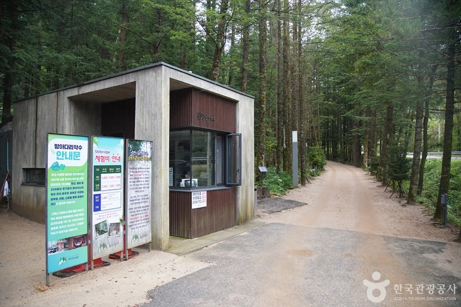 Photo: Korea Tourism Organization Photo Gallery (1011-26 Bangadari-ro, Jinbu-myeon, Pyeongchang-gun, Gangwon Special Self-Governing Province) · KOGL Type 1
Between its two registered sections, Gyebangsan has a total trail length of 13.93 km — the Nodong-ri section at 9.99 km and the Jawun-ri section at 3.94 km — with no shelters registered along the way, so it’s a mountain you can comfortably knock out in a single day. Based on actual GPX tracking, the flagship route from the simple rest area to the summit runs about 2 hours 33 minutes one way, while the stretch from the entrance information center to the lookout point comes in at roughly 1 hour 47 minutes one way; for round trips, people typically plan on around 5 hours and 3 hours 30 minutes respectively. The public data also lists a cumulative figure across the entire trail network in the area — 414 minutes going up and 289 minutes coming down — but keep in mind this isn’t the time for any single route; it’s a reference number covering all the trails combined. Converting that works out to an average uphill pace of about 30 minutes per kilometer. It’s worth using that pace as a baseline and adjusting it to your own fitness level when estimating how long each specific route will actually take you.
Getting There (Public Transit & Parking)
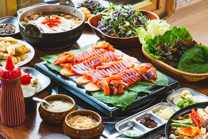 Photo: Korea Tourism Organization Photo Gallery (601-4 Undureongro, Yongpyeong-myeon, Pyeongchang-gun, Gangwon Special Self-Governing Province) · KOGL
The usual route to the Gyebangsan area is to take the KTX to Jinbu (Odaesan) Station, then switch to a taxi or village bus from there. If you’re coming from Seoul or elsewhere in the capital region, you can also take an intercity bus to a terminal in Pyeongchang or Jinbu and pick up local transport from there. The Undureong-bound route (entrance-info-point → observation deck course) sits right on National Route 6, so it’s fairly easy to reach by car, but the trailhead at the rest area (Course 1) requires driving in on roads inside the village, so it’s worth double-checking your route beforehand. There’s no registered bus stop or parking lot for this area in the public data, so I’d recommend confirming real-time transit schedules and parking availability on KakaoMap or Naver Map before you finalize your visit.
Season, Weather, and Gear
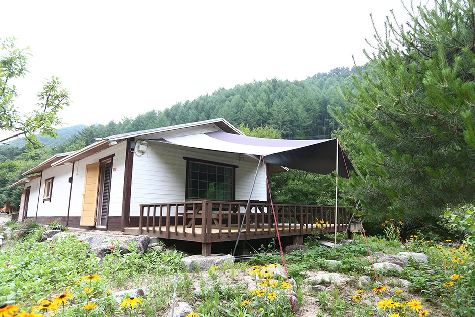 Photo: Korea Tourism Organization Photo Gallery (767-17 Undueong-ro, Yongpyeong-myeon, Pyeongchang-gun, Gangwon Special Self-Governing Province) · KOGL Type 1
Gyebangsan is known for its lush spring greenery and stunning fall foliage, and in summer the dense forest canopy keeps the trail refreshingly shaded compared to other hikes. Winter is a different story, though—heavy snowfall and fierce winds along the summit ridge push the difficulty up considerably, so crampons, gaiters, and a windproof jacket aren’t optional, they’re essential. As a general rule, no matter the season, it’s worth carrying hiking boots, a spare set of clothes, plenty of water, a headlamp, and some emergency food. And since the temperature swing near the summit can be dramatic, even in summer it’s smart to toss a light windbreaker in your pack.
Tips for Foreign Travelers
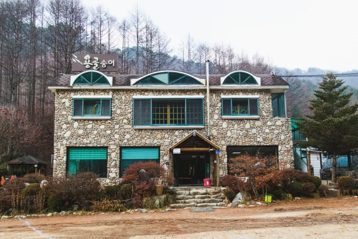 Photo: Korea Tourism Organization Photo Gallery (767-17 Undureong-ro, Yongpyeong-myeon, Pyeongchang-gun, Gangwon Special Self-Governing Province) · KOGL Type 1
The summit of Gyebangsan is romanized as “Gyebangsan(-jeongsang),” and Undureong, the main trailhead, is romanized as “Undureong.” There’s no confirmed entry permit or admission fee, but since the mountain sits right next to a national park, it’s worth checking local signage and any restricted-section notices before you go — Course 2 in particular has a fair number of “No Entry” signs. Restrooms are located near Undureong (at the Course 2 trailhead), and there’s one spring along the trail you can use for water, but it’s safer to bring enough drinking water with you rather than counting on refilling along the way. Google Maps often has inaccurate trail information within Korea, so it’s best to use KakaoMap or Naver Map to check the actual route and public transit options. For safety, it’s better to hike with a companion rather than alone in winter, and to plan your descent with plenty of buffer time before sunset.
Other Nearby Peaks
- Odaesan Ridge, Gangwon-do — fir forests and yew groves — about 13km direct
- Gariwangsan, Jeongseon, Gangwon-do — primeval moss valley and waterfalls — about 30km direct
- Baekdeoksan, Gangwon-do — rocky ridge waiting at the end of a dirt trail — about 38km direct
📍 Sweeping Grassy Ridges and 360° Views: Mt. Gyebangsan in Pyeongchang, GangwonLocation
Contact: bumseok.view [at] gmail [dot] com
Comments