Wild Moss Valleys and Waterfalls: Gariwangsan in Jeongseon, Gangwon
Hiking · Published 8/12/2026 ·
등산로 트랙·시설 (공공데이터: 전국등산로 공간정보) · 🚩시종점 💧음수대 👁️조망점 🏠대피소 🅿️주차장 ⚠️위험 · 지도 © OpenStreetMap ⤓ GPX 다운로드
At a Glance
| Metric | Rating |
|---|---|
| Accessibility (public transit/parking) | ★☆☆☆☆ |
| Trail difficulty | ★★☆☆☆ |
| Water/springs on the mountain | ★★★☆☆ |
| Overnight stay needed | ★★★★☆ (1 night if doing the full traverse) |
| Seasonal difficulty – Spring | ★★☆☆☆ |
| Seasonal difficulty – Summer | ★★★☆☆ |
| Seasonal difficulty – Fall | ★★☆☆☆ |
| Seasonal difficulty – Winter | ★★★★★ |
※ Source: Korea Forest Service trail geospatial data · accessibility and seasonal ratings are for reference only
개요
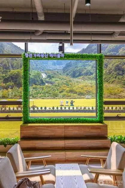 Photo: Korea Tourism Organization Photo Gallery (Jeongseon-eup, Jeongseon-gun, Gangwon Special Self-Governing Province) · Public Nuri
Gariwangsan (迦利王山) sits right on the border between Jeongseon-gun and Pyeongchang-gun in Gangwon Province, its summit topping out at around 1,597m. It’s a proper high mountain with the deep, rugged character typical of the Taebaek range, and it became widely known when the Gariwangsan Alpine Centre — site of the downhill skiing events at the 2018 PyeongChang Winter Olympics — went up nearby. The trails themselves are mostly gentle dirt paths, so the footing isn’t particularly tricky. But don’t let that fool you: the distance to the summit is long and the elevation gain is substantial, which makes it a genuinely demanding hike in terms of stamina. Access isn’t great and the route runs long, so while a day hike is doable, plenty of people opt for an overnight stay instead if they’re doing the full traverse or want to take it at a more relaxed pace.
Terrain and Landscape
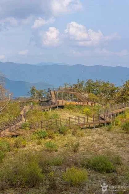 Photo: Korea Tourism Organization Photo Gallery (Jeongseon-eup, Jeongseon-gun, Gangwon State) · KOGL Type 1
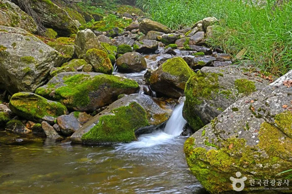
Gariwangsan is a classic “soil mountain” (yuksan) — the kind built from broad, rounded ridgelines and deep valleys rather than jagged rock peaks. Its upper reaches spread out wide and gentle, with three high points clustered close together: the marked summit at 1,556m, a spot near the summit trail marker at 1,569m, and the actual high point, Gariwangsa Peak, at 1,593m. Partway along the ridge sits Saemteo Peak (1,252m) — true to its name (“spring peak”), it’s known as a place where water rises straight out of the ground. The mountain is blanketed almost end to end in forest that feels close to untouched, and the valley known as the “moss valley” is the standout: centuries of moss build-up alongside waterfalls and deep pools give it that raw, primeval feel so particular to Gangwon-do’s mountains.
Feel of the Climb
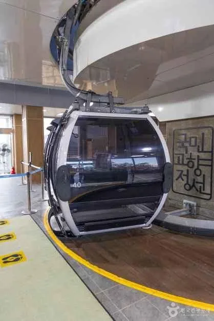 Photo: Korea Tourism Organization tourism photo gallery (Jeongseon-gun, Gangwon-do) · KOGL
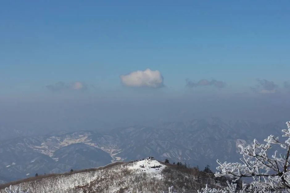
From the trailhead almost all the way to the final push to the summit, the Mt. Gariwang trail runs mostly along dirt paths beneath a dense mixed forest of conifers and broadleaf trees. It’s easy on the feet and shaded enough that even summer climbs stay fairly cool. That said, the stretch running alongside the valley calls for real caution — moss-covered rocks and damp ground make for some slippery footing. As you close in on the summit, the trail steepens sharply and your breathing gets heavier, but once you’re near the top, the view opens up and you’re rewarded with ridge after ridge of Gangwon-do’s mountains stretching into the distance. Come fall, the oak and maple foliage hits its peak color, and in winter, this high-altitude terrain holds onto deep snow, giving the mountain a real snowy-peak atmosphere.
Main Routes (by Trailhead)
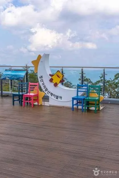 Photo: Korea Tourism Organization Tourism Photo Gallery (Jeongseon-eup, Jeongseon-gun, Gangwon State) · KOGL Type 1
| Route (Trailhead → Summit) | Distance | Net Elevation Gain | Est. Time (One-Way) | Difficulty | Popularity |
|---|---|---|---|---|---|
| Janggumogi Trailhead → Summit Marker | 9.79km | ↕1161m | ~4h 23min | ★★★★★ | ★★★☆☆ |
| Balsimsa Temple Entrance → Summit | 10.84km | ↕690m | ~3h 52min | ★★★★★ | ★★★★☆ |
※ Source: Korea Forest Service Trail Info Center’s Top 100 Mountains GPX data (distance, elevation, time, difficulty) · Popularity is a rough reference figure
Course 1 — Janggumokyi → Summit Trail Marker
Route: Trailhead Janggumokyi → Moss Valley Falls 1 → Trail Marker → Moss Valley Falls 6 → Moss Valley Falls 9 → Rest Area → Junction → Moss Rock → Yew Tree → Summit Trail Marker → Summit → Eoeun Valley → Eoeun Valley Falls → Eoeun Valley Falls Stream → Cheonilgul Cave View
Getting to the trailhead: Janggumokyi is a trailhead tucked away in the mountainous part of Jeongseon-gun, and public transit options here are quite limited. The usual way in is a local bus or taxi from Jeongseon Intercity Bus Terminal to one of the mountain villages, but buses run infrequently, so it’s worth checking the timetable ahead of time. There doesn’t seem to be a dedicated public parking lot, so if you’re driving, you’ll likely end up parking along the roadside or in an open lot near the village.
Highlights & who it’s for: This valley-hugging course takes you past a string of waterfalls (Falls 1, 6, and 9) along Moss Valley, with the sound of rushing water and dramatic moss-covered cliffs making a strong impression along the way. The elevation gain is a hefty 1,161m, so the climb in the back half feels quite steep — this one’s best suited to hikers with solid stamina who want to combine valley trekking with the feel of untouched, old-growth forest.
Course 2 — Balsimsa Entrance → Summit
Waypoints: Balsimsa entrance → mossy valley → fern colony → fork in the trail → oak grove → fallen dead tree → helipad → maple zone → simple rest area → Korean pine forest → hollowed-out dead tree → Jeongseon–Gangneung Buseok Samsan boundary marker
Trailhead access: The Balsimsa entrance is also tucked into the mountainous area near Hwaam-myeon, Jeongseon-gun, and getting there usually means taking a village bus or taxi from downtown Jeongseon. If you’re driving, there’s a clearing near the entrance road to Balsimsa where people commonly park, but since there’s no confirmed official parking lot, it’s worth arriving early to make sure you can find a spot.
Highlights & who it’s for: The distance is a bit longer, but with a net elevation gain of only 690m, the effort is spread out more evenly, making it a fairly gentle course overall. What sets it apart is passing historical markers along the way — the helipad and the old Samsanbongpyo stone, which once marked the boundary between Jeongseon and Gangneung. Since this route rewards long-distance stamina more than it demands steep climbing, it’s a good fit for hikers who enjoy putting in the miles.
Difficulty, Terrain & Cautions
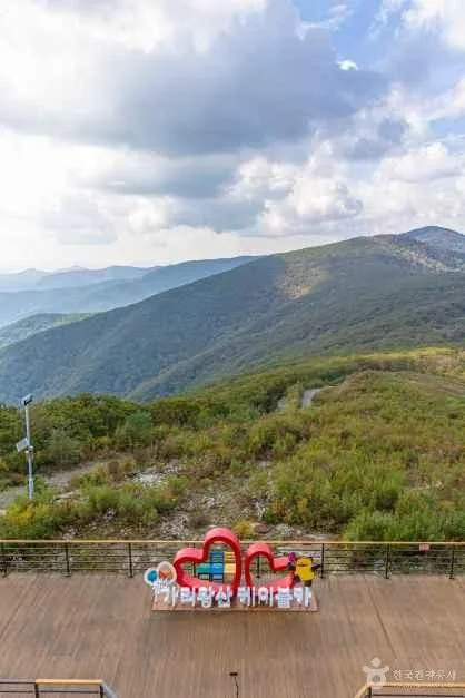 Photo: Korea Tourism Organization Tourist Photo Gallery (Jeongseon-eup, Jeongseon County, Gangwon Special Self-Governing Province) · KOGL Type 1
All five registered sections of the trails within Mt. Gariwang’s jurisdiction (by administrative district) are listed in the data as “easy” difficulty — but that rating is based on the grade of individual segments, not the full picture. The actual through-hike routes that run all the way to the summit area (the Janggumogi and Balsimsa courses) feel considerably harder in practice, since the total elevation gain is substantial. The surface is mostly dirt trail, but the Moss Valley section can get slippery from moisture and moss, so extra caution is warranted right after rain or during freezing spells. In winter, heavy snow and ice near the summit can make hiking without crampons genuinely dangerous. The only facility confirmed in the public data is a single drinking water point (a spring), with no lookout points, shelters, or marked hazard zones on record — so it’s wise to bring your own water and emergency supplies rather than count on finding any along the way. There are six trailheads/exit points in total, which at least gives you decent flexibility in choosing your route.
Distance and Time Required
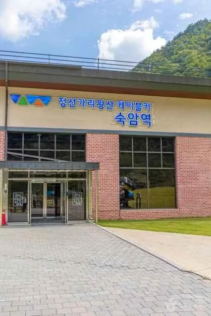 Photo: Korea Tourism Organization photo gallery (Jeongseon-eup, Jeongseon-gun, Gangwon Special Self-Governing Province) · KOGL Type 1
The total length of Mt. Gariwang’s trail network (combining multiple sections) comes to 29.3 km, with the data showing a cumulative ascent time of 576 minutes and descent time of 404 minutes — working out to an average ascent pace of roughly 20 minutes per km. (Keep in mind this is a combined total across every section in the area, not the time for any single course, so don’t mistake it for one.) The actual summit routes — the Janggumogi course (9.79 km, about 4 hours 23 minutes) and the Balsimsa course (10.84 km, about 3 hours 52 minutes) — each take around 4 hours one way, meaning a round trip runs somewhere around 8-9 hours total. If you’ve got the stamina, a same-day round trip is doable, but if you’d rather not rush a full traverse or hike in the dark, I’d recommend staying overnight nearby and starting your hike before dawn.
Getting There (Public Transit & Parking)
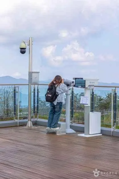 Photo: Korea Tourism Organization photo gallery (Jeongseon-gun, Gangwon Special Self-Governing Province) · KOGL
If you’re coming from Seoul or the greater capital area by public transit, the usual route is to take the KTX Gangneung Line to Jinbu Station, or a Jeongseon-bound intercity bus straight to the Jeongseon Bus Terminal, then transfer to a local bus or taxi to reach the mountain villages near the trailheads. Buses on that last leg run infrequently and routes can change without much notice, so it’s worth checking real-time bus info right before you leave rather than trusting an old schedule. If you’re driving, keep in mind there’s no proper large parking lot near any of the trailheads as far as I could confirm — most people end up parking on a village lot or along the roadside — so give yourself extra time and don’t cut your arrival close. Either way, I’d recommend double-checking the actual route and latest transit details on KakaoMap or Naver Map before you head out.
Season, Weather & Gear
 Photo: Korea Tourism Organization photo gallery (Jeongseon-eup, Jeongseon-gun, Gangwon-do) · Public Nuri
The best time to hike Mt. Gariwang is late spring into early summer, when the fresh greenery fills in, and again in fall when the foliage peaks. In summer, watch your footing on the damp, slippery valley sections. Winter is a different story altogether — the heavy snowfall and icing typical of high-altitude terrain here bump the difficulty up considerably, so crampons, gaiters, and cold-weather gear aren’t optional. As for the basics, I’d bring hiking boots, extra water (there’s only one water station on the whole route, so don’t skimp), a rain jacket, a headlamp, and trekking poles. And since the trail runs long with stretches where you won’t see another soul, it’s worth throwing in a portable charger and some emergency food too.
Foreign Traveler Tips
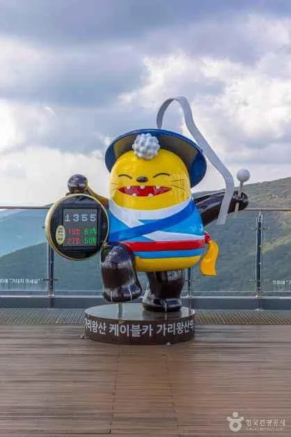 Photo: Korea Tourism Organization photo gallery (Jeongseon-eup, Jeongseon-gun, Gangwon State) · KOGL
The summit is labeled Gariwangsan Summit in English, and the two main trailheads can be written as Janggumogi Trailhead and Balsimsa Temple Entrance. There’s no confirmed permit or entrance fee required, but it’s worth showing some basic courtesy when passing near the temple (Balsimsa). Restrooms and drinking water are scarce along the trail — only one confirmed water source the whole way — so it’s best to take care of both before you set off from the village. Google Maps often gets Korean hiking trails wrong, so you’re much better off using KakaoMap or Naver Map to check the actual route and public transit options. Since this is a fairly remote mountain area, cell signal can drop out in places, so it’s smart to hike with a companion and build in extra time for the descent.
Nearby Mountains
- Rocky ridges at the end of a dirt trail, Baekdeoksan in Gangwon — about 25km straight-line
- Gangwon’s Odaesan ridge, home to fir forests and yew groves — about 37km straight-line
📍 Wild Moss Valleys and Waterfalls: Gariwangsan in Jeongseon, GangwonLocation
Contact: bumseok.view [at] gmail [dot] com
Comments