Ridgeline Meadows of Royal Azalea and Silver Grass: Hwangmaesan in Hapcheon and Sancheong
Hiking · Published 8/4/2026 ·
등산로 트랙·시설 (공공데이터: 전국등산로 공간정보) · 🚩시종점 💧음수대 👁️조망점 🏠대피소 🅿️주차장 ⚠️위험 · 지도 © OpenStreetMap ⤓ GPX 다운로드
At a Glance
| Metric | Rating |
|---|---|
| Accessibility (public transit & parking) | ★★☆☆☆ |
| Trail difficulty | ★★★☆☆ |
| Water & springs on the mountain | ★★★☆☆ |
| Need to stay overnight? | ★★☆☆☆ (a day trip is plenty) |
| Seasonal difficulty — Spring | ★★☆☆☆ |
| Seasonal difficulty — Summer | ★★★☆☆ |
| Seasonal difficulty — Autumn | ★★☆☆☆ |
| Seasonal difficulty — Winter | ★★★★☆ |
※ Source: Korea Forest Service trail geospatial data · accessibility and seasonal ratings are rough guides
Overview
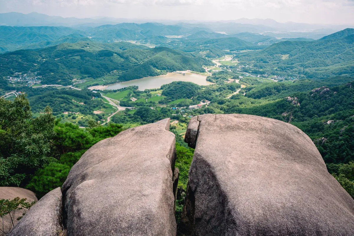 Photo: Korea Tourism Organization photo gallery (Gahoe-myeon, Hapcheon-gun, Gyeongsangnam-do) · KOGL
Hwangmae-san (黃梅山) straddles the border between Hapcheon-gun and Sancheong-gun in Gyeongsangnam-do, and its highest point measures in at roughly 1,135m. What sets it apart are the broad, gently rolling plateaus and ridgelines. It’s famous for its royal azalea colonies in spring and its silver grass fields in autumn, which keeps a steady stream of visitors coming year-round. Trail data rates its toughest sections as “moderate,” and the main routes up to the summit area run anywhere from under an hour to about three hours one way — so nearly all of them work fine as a day hike.
The Mountain’s Shape
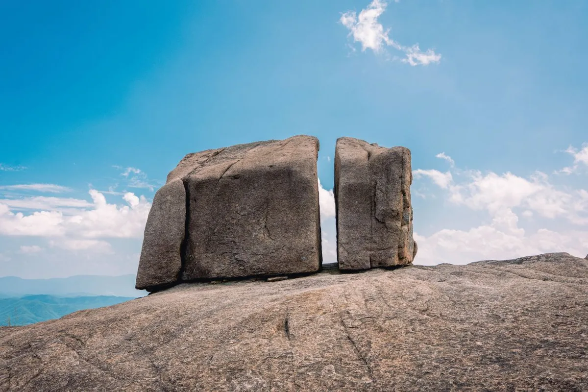 Photo: Korea Tourism Organization photo gallery (Gahoe-myeon, Hapcheon-gun, Gyeongsangnam-do) · KOGL
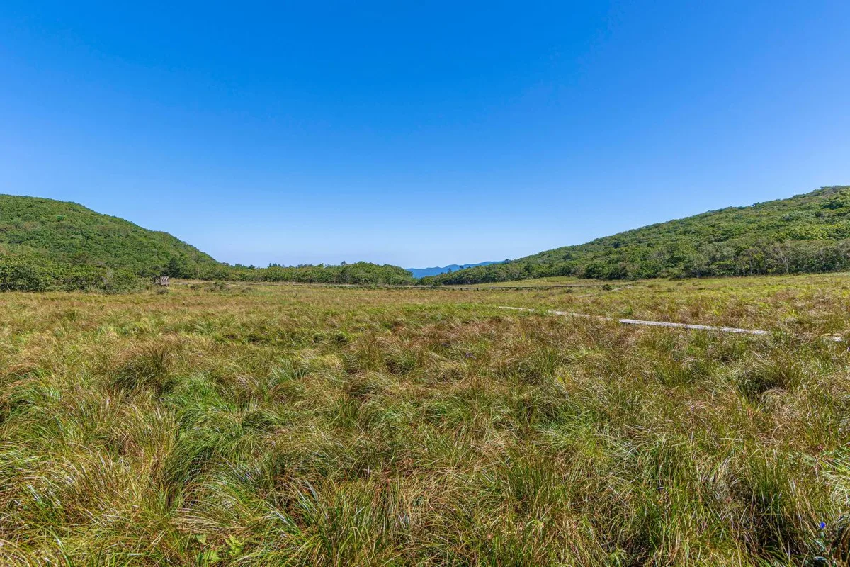
Hwangmaesan isn’t the sort of mountain that throws up one jagged rock peak after another. What stands out here is the wide, high plateau — broad open grassland — and the gentle ridgelines running off it. The peak markers registered in the trail’s spatial data come in at 1,121m, 1,123m, 1,113m, and 1,130m, which tells you the summit area isn’t a single sharp point but a run of similar-height humps and flats. Partway along the trail, the signposts mention “Halmisanseong Fortress and Chimadeom,” a hint that this area holds both old fortress ruins and rocky outcrops. The trail markers also point toward Mosanjae, a stretch generally known for its strange rock formations and rocky ridges — so a hike on Hwangmaesan gives you both the gentle, soil-covered plateau sections and the rock. Overall it’s a mild, earthy mountain, but near the summit and over toward Mosanjae you’ll hit patches of rocky ridge that make the change in terrain something you actually feel underfoot.
What the Hike Feels Like
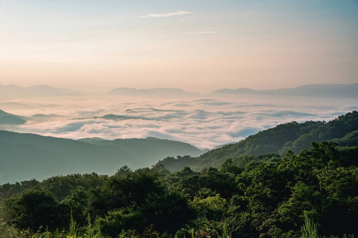 Photo: Korea Tourism Organization tourism photo gallery (Gahoe-myeon, Hapcheon-gun, Gyeongsangnam-do) · KOGL
Hwangmaesan starts you off climbing through forest, and then, as you gain elevation, the view opens up onto broad grassy flats and ridgeline trails. The sections that pass through the royal azalea and silver grass colonies are especially striking — the scenery is completely different depending on the season, so in spring you get a ridge washed in red, and in autumn a plateau of silver grass rippling in the light. You can tell from the names on the trail signs — “rest area,” “pavilion rest area,” “rocking chair rest area” — that there are spots to stop and catch your breath scattered all along the course, which makes this a mountain you can climb at your own pace. Up on the summit flats the sense of openness is huge, with nothing blocking you in any direction, but that also means you take the wind full in the face, so how it actually feels up there varies a lot with the season and the weather.
Main Courses (by Trailhead)
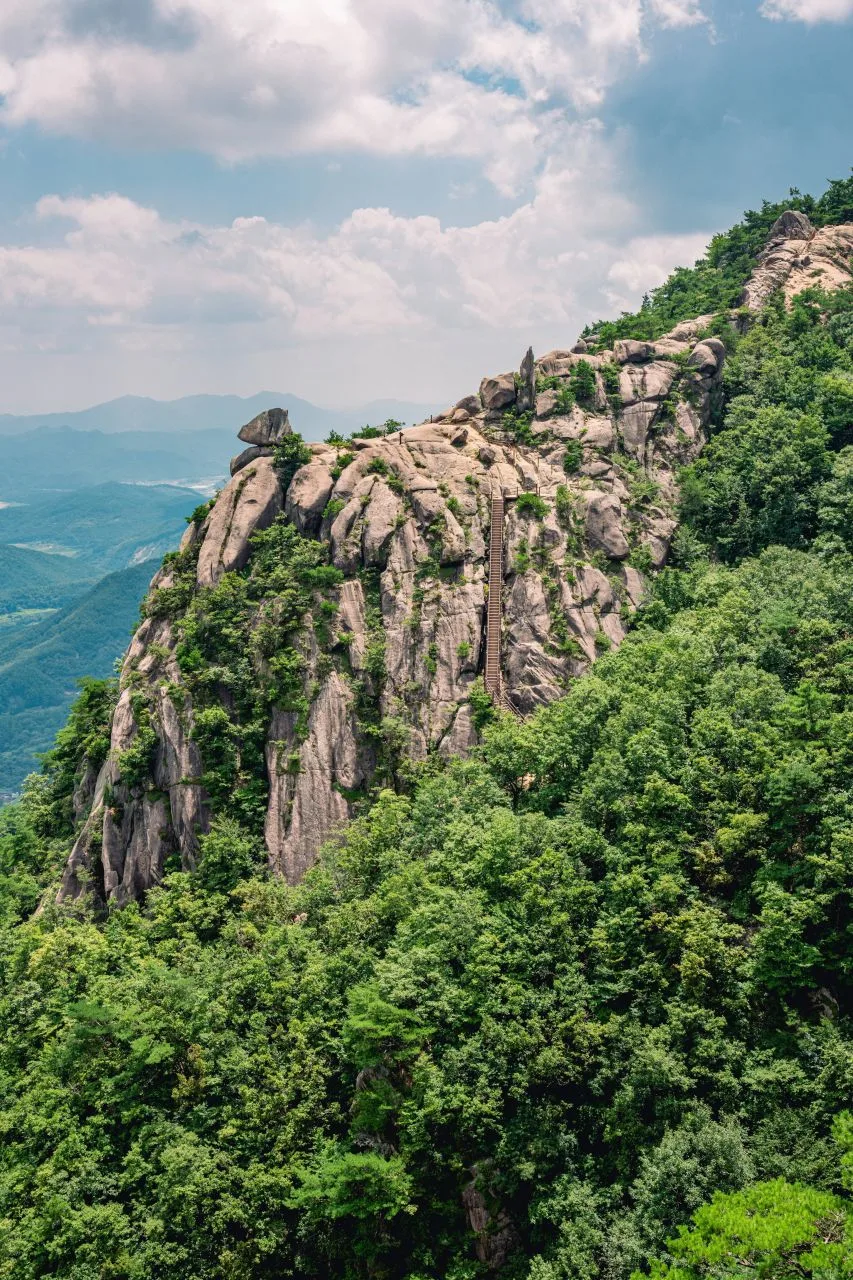 Photo: Korea Tourism Organization photo gallery (Gahoe-myeon, Hapcheon-gun, Gyeongsangnam-do) · KOGL
The hiking trails on Hwangmaesan are registered as eight separate segments organized by administrative district (ri), and together they add up to 39.71 km of trail within the county. Keep in mind that the table below isn’t the length of any single course — it’s a breakdown of trail segments by ri, so treat it as reference material separate from the actual routes to the summit.
| Segment (by administrative district) | Distance | Difficulty | Surface |
|---|---|---|---|
| Beopyeong-ri segment | 13.87km | Easy/Moderate | - |
| Jangbak-ri segment | 7.3km | Easy | - |
| Silmae-ri segment | 6.56km | Easy | - |
| Sangbeop-ri segment | 5.94km | Easy | - |
| Jungchon-ri segment | 2.92km | Easy | - |
| Sangjung-ri segment | 1.67km | Easy | - |
| Hageum-ri segment | 1.16km | Easy | - |
| Dunnae-ri segment | 0.29km | Easy | - |
※ Source: Korea Forest Service hiking trail geospatial data (total length by administrative district segment) · These are administrative districts, not course names.
Separately from that, there are four main routes that actually take you up to the summit area, confirmed by GPX field measurements.
| Course (trailhead → summit) | Distance | Net elevation gain | Est. time (one way) | Difficulty | Popularity |
|---|---|---|---|---|---|
| Hwangmaesan County Park ticket office → Jungbong | 5.65km | ↕661m | About 2 hr 31 min | ★★★★☆ | ★★★★☆ |
| Parking lot → summit | 8.75km | ↕631m | About 3 hr 14 min | ★★★★★ | ★★★☆☆ |
| Hwangmaesan County Park → observation deck | 9.67km | ↕482m | About 3 hr 13 min | ★★★★☆ | ★★☆☆☆ |
| Hwangmaesan Film Theme Park → summit | 2.43km | ↕154m | About 0 hr 52 min | ★☆☆☆☆ | ★★★★★ |
※ Source: Korea Hiking and Trekking Support Center, 100 Famous Mountains GPX data (distance, elevation, time, difficulty) · Popularity is for reference only
Course 1 — Hwangmaesan County Park Ticket Office → Jungbong
Route: Hwangmaesan County Park ticket office → trailhead signpost → fork in the trail → information board → signpost → Halmi Fortress and Chimadeom → rest area → pavilion rest area → Jungbong
Getting to the trailhead: The ticket office sits right at the foot of the mountain, so driving in is fairly easy, and there’s reportedly parking available. By public transit, the usual approach is to take an intercity bus to either Hapcheon or Sancheong and transfer to a local bus from there — but service is infrequent, so it’s worth checking live schedules before you set out.
What it’s like and who it suits: Past the ticket office, the trail takes you through Halmi Fortress and Chimadeom, a mix of historical remains and rocky terrain, so you get a bit of history alongside the natural scenery. There’s a pavilion rest area, which makes it easy to break up the climb, and with 661m of net elevation gain it’s on the steeper side — best suited to hikers with a decent base level of fitness.
Course 2 — Parking Lot → Summit
Route: Parking lot → trail junction → Hwangmaesan Goraebawu (Whale Rock) → rest area → Hwangmaesan Auto Camping Ground → local food shop → rocking-chair rest area → royal azalea colony → deck rest area → Hwangmaesan County Park → forest fire watch post → Mosanjae → Hwangmaesan Auto Camping Ground
Getting to the trailhead: The trailhead is the parking lot connected to the auto camping ground, and it’s said to be one of the most heavily used starting points for hikers arriving by car. If you’re coming by public transit, you’ll need to plan on switching to a taxi or a village bus from the nearest town center — driving yourself is noticeably easier here.
What it’s like and who it suits: Of the four courses, this one is the longest and rates as the most difficult. It also packs in the most variety, passing landmarks like Hwangmaesan Goraebawu, the royal azalea colony, and Mosanjae. Since it goes by both a local food shop and the campground, it’s a good fit for visitors who want to work some regional food or a night of camping into their hiking day — and it’s best suited to people who are comfortable with long distances and long hours on the trail.
Course 3 — Hwangmaesan County Park → Observation Deck
Route: Hwangmaesan County Park → trail junction → Cheoljjuk-gwa Eoksaek-sai restaurant → observation deck → Hwangmaesan Auto Camping Ground
Getting to the trailhead: The park entrance doubles as the trailhead, so like Course 1, you start out near the ticket office. Parking and the access road are both in decent shape, but it can get crowded in peak season (royal azalea and silver grass time), so give yourself extra time to get there.
What it’s like / who it suits: At 9.67km this is the longest of the courses, but with a net elevation gain of only 482m it’s relatively gentle — you’ll be walking a while, but without much in the way of steep climbs. As the name of the “Cheoljjuk-gwa Eoksaek-sai” restaurant (literally “between the azaleas and the silver grass”) hints, this route threads between the azalea and silver grass fields and is all about the views, which makes it a good fit for anyone here to take photos or just soak up the scenery.
Course 4 — Hwangmaesan Film Theme Park → Summit
Route: Hwangmaesan Film Theme Park → Hwangmaesan County Park → Sinchon Restaurant → Fork in the trail → Pavilion
Getting to the trailhead: The Film Theme Park is a well-known tourist spot in its own right, so the access roads and parking are in pretty good shape. If you’re coming by public transit, there are local buses and sometimes temporary shuttle buses during festival season — worth checking for whenever you’re planning to visit.
What it’s like and who it’s for: At 2.43km with a net elevation gain of 154m, this is the shortest and gentlest of the four courses — genuinely something anyone can handle, young or old. You can reach the summit in a short amount of time, which makes it especially good for families, or for anyone who just wants an easy look at the view from the top during royal azalea or silver grass season.
Difficulty, Trail Surface, and Cautions
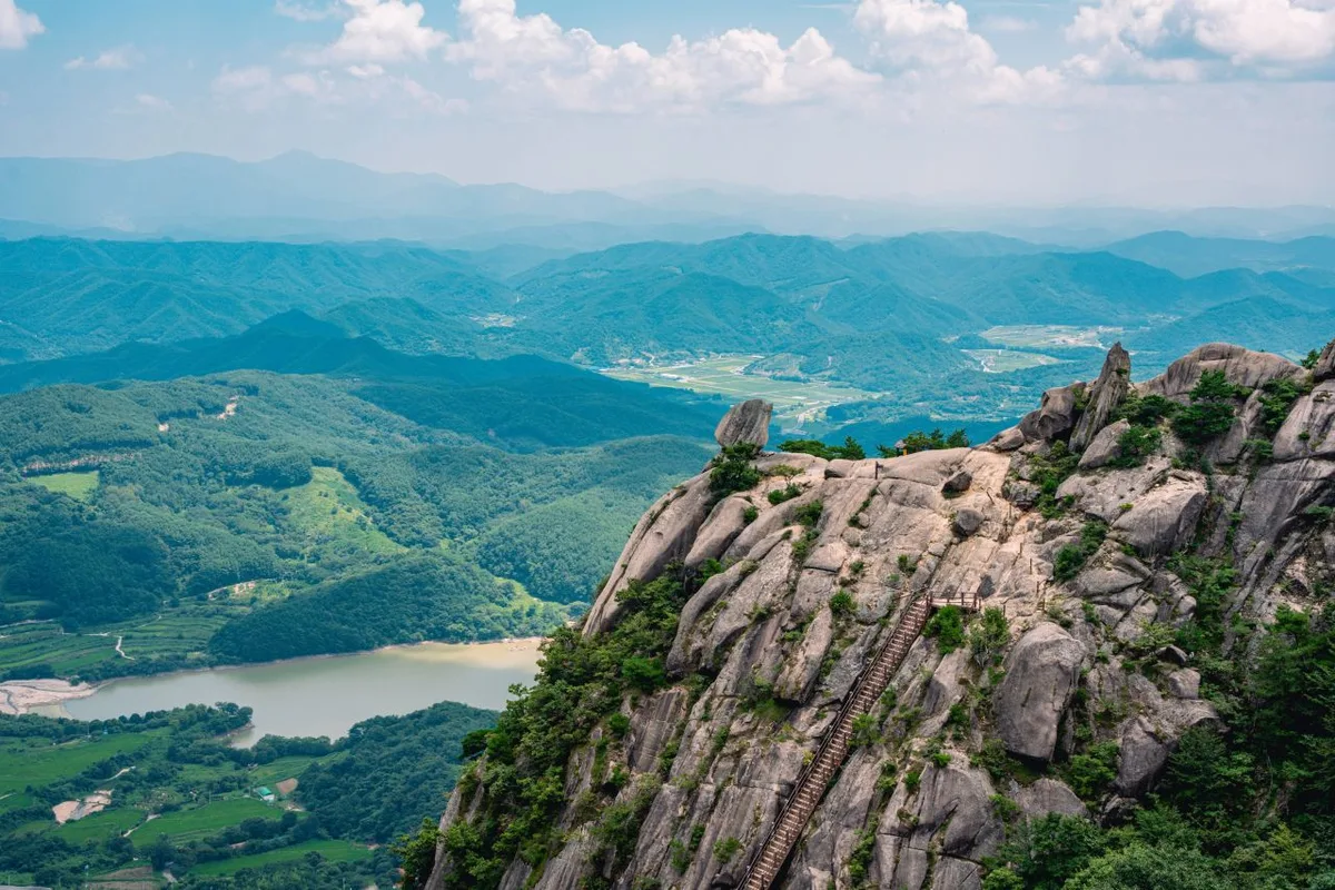 Photo: Korea Tourism Organization photo gallery (Gahoe-myeon, Hapcheon-gun, Gyeongsangnam-do) · KOGL
In the Korea Forest Service’s trail geospatial data, the highest difficulty rating recorded for Hwangmaesan is “moderate,” and there’s no separate entry for trail surface. That said, the signposted waypoints include spots like “Halmisanseong Fortress and Chimadeom” and “Mosanjae” — rocky, fortress-wall terrain — so there may be stretches where you’ll want to watch your footing more carefully than on a plain dirt path. As for facilities along the route, the data lists two water points (springs) and one parking lot (Parking Lot 1), which means places to refill are fairly limited. No hazard zones or viewpoints are separately registered in the public data, but the summit plateau and observation deck sections are generally wide open, so strong winds or rain can make them feel a lot riskier than they look — worth keeping in mind. In winter, icy patches can form, so it’s a good idea to bring crampons or similar gear.
Distance and Time Required
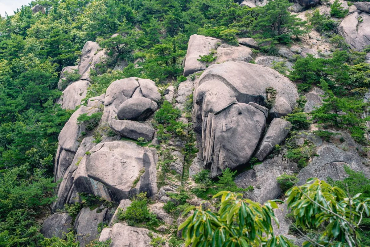 Photo: Korea Tourism Organization photo gallery (Gahoe-myeon, Hapcheon-gun, Gyeongsangnam-do) · KOGL
The summit-area courses range from a short 2.43 km (about 52 minutes) to a long 9.67 km (about 3 hours 13 minutes), so whichever one you pick, a single day is plenty. For reference, hiking every trail in the district (39.71 km across 8 cumulative sections) comes out to 716 minutes uphill and 496 minutes down — but that’s the total for all sections combined, not the time for any one course, so don’t mistake it for a day’s outing. Working backward from those cumulative figures, the average uphill pace comes to roughly 18 minutes per kilometer, which you can use as a rough yardstick: multiply your course distance by that pace to get a ballpark time when planning a summit hike.
Getting There (Public Transit & Parking)
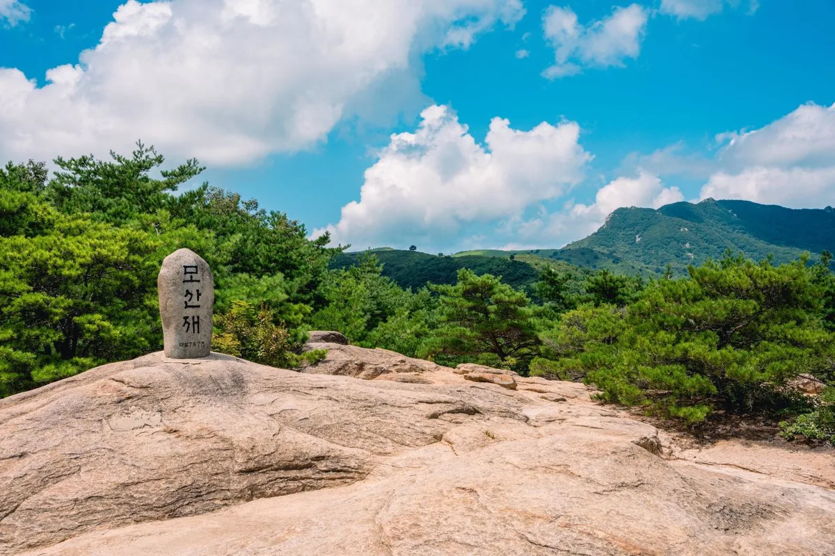 Photo: Korea Tourism Organization photo gallery (Gahoe-myeon, Hapcheon-gun, Gyeongsangnam-do) · KOGL
Hwangmaesan sits right on the border between Hapcheon-gun and Sancheong-gun in Gyeongsangnam-do, so if you’re coming from Seoul or elsewhere in the capital region, the usual route is an express or intercity bus to the Hapcheon or Sancheong terminal, then a local bus or taxi from there. That said, the trail data doesn’t list any bus stops nearby, so getting all the way to the trailhead on public transit alone can be a bit of a hassle — I’d recommend driving or taking a taxi. The data shows one parking lot (Parking Lot 1), and there’s reportedly parking near the main trailheads too, including the auto campground and the Film Theme Park. Definitely double-check your actual route and the latest transit info on KakaoMap or Naver Map. And during the royal azalea and silver grass festivals in particular, there may be temporary road closures or shuttle buses running, so it’s worth checking for announcements before you head out.
Season, Weather, and Gear
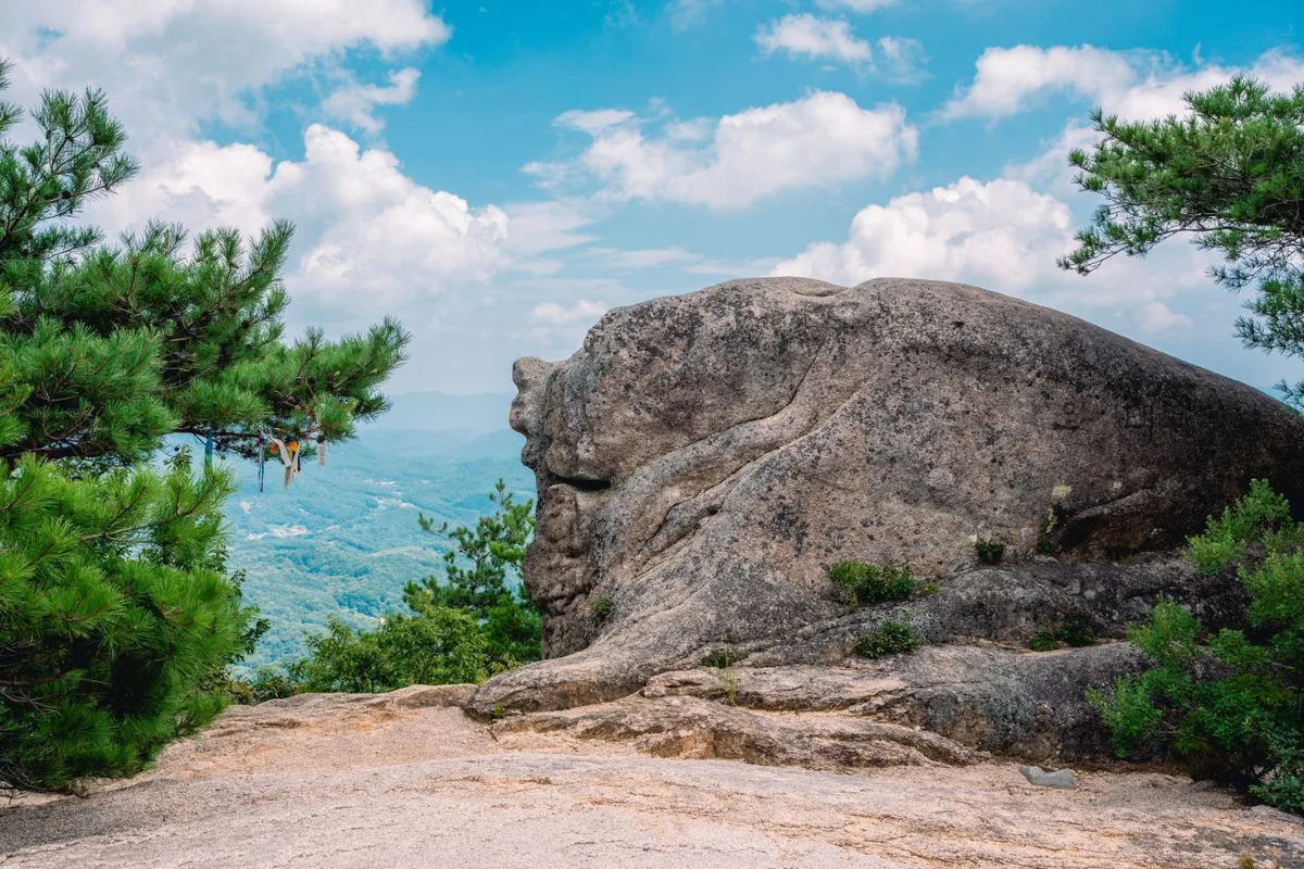 Photo: Korea Tourism Organization photo gallery (Gahoe-myeon, Hapcheon-gun, Gyeongsangnam-do) · KOGL
Hwangmaesan is famous for its royal azaleas in spring and its silver grass in autumn, so mid-May and September through October are when the crowds are thickest. Spring and fall make for fairly comfortable hiking, but summer brings heat and humidity that drain you fast, and in winter the high plateau and ridgeline near the summit can get strong winds and ice, which makes the whole thing feel harder than it is. For basic gear, bring hiking boots, extra water, and a windproof, insulated jacket; in winter, crampons and gaiters are the safe call. In summer you’ll want sun protection and plenty of fluids — and since there are only two drinking-water points on the course, it’s worth carrying more water than you think you need.
Tips for International Visitors
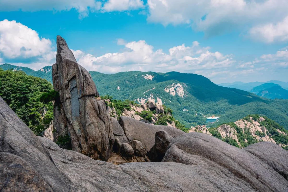 Photo: Korea Tourism Organization photo gallery (Gahoe-myeon, Hapcheon-gun, Gyeongsangnam-do) · KOGL
In roman letters you’ll see the mountain written as Hwangmae-san or Mt. Hwangmae. The main trailhead, 황매산 영화주제공원, is usually signposted as Hwangmaesan Film Location Park, and 황매산 군립공원 as Hwangmaesan County Park. There does appear to be a ticket booth at the county park, but a lot of Korean parks have been scrapping their entrance fees lately, so it’s worth checking the signs on site or asking at the management office whether you’ll actually be charged. Restrooms tend to be clustered around the main hubs — parking lots, the ticket booth — but there may not be any up on the summit or along the ridge, so use the ones at the trailhead before you head up. Two drinking-water points (spring taps) are on record, but they’re in limited spots, so bring plenty of water of your own. As for map apps: Google Maps is often unreliable for walking and public transit directions in Korea, so please use KakaoMap or Naver Map to check your actual route. The high plateau near the summit is wide open and exposed, which means a shift in the weather can feel a lot more punishing up there — pack a windproof layer and check the forecast before you finalize your plans.
Other Mountains Nearby
- Traversing Hwangseoksan in Geochang, Gyeongnam, where knife-edge ridges rise — about 31 km as the crow flies
- Silver silver-grass plains ringed by Hwawangsanseong Fortress: Hwawangsan in Changnyeong — about 48 km as the crow flies
- Granite boulder fields and azalea colonies: Biseulsan in Daegu — about 54 km as the crow flies
📍 Ridgeline Meadows of Royal Azalea and Silver Grass: Hwangmaesan in Hapcheon and SancheongLocation
Contact: bumseok.view [at] gmail [dot] com
Comments