The Knife-Edge Ridges of Hwangseoksan: A Traverse in Geochang, Gyeongnam
Hiking · Published 8/4/2026 ·
등산로 트랙·시설 (공공데이터: 전국등산로 공간정보) · 🚩시종점 💧음수대 👁️조망점 🏠대피소 🅿️주차장 ⚠️위험 · 지도 © OpenStreetMap ⤓ GPX 다운로드
Note: The Korean input you’ve given me consists only of a title line plus the translation instructions themselves — there’s no article body to translate. The block starting with 【중요】 is a set of directives to me (preserve tables, don’t alter image paths, output only the translated text, etc.), not blog content.
Here’s the translated title:
At a Glance
| Metric | Rating |
|---|---|
| Accessibility (public transit & parking) | ★★☆☆☆ |
| Course difficulty | ★★★★☆ |
| Water sources & springs on the mountain | ★☆☆☆☆ |
| Need for an overnight stay | ★★★☆☆ (overnight if doing the full traverse) |
| Seasonal difficulty — spring | ★★★☆☆ |
| Seasonal difficulty — summer | ★★★★☆ |
| Seasonal difficulty — autumn | ★★★☆☆ |
| Seasonal difficulty — winter | ★★★★★ |
※ Source: Korea Forest Service trail geospatial data · accessibility and seasonal ratings are rough guides
Overview
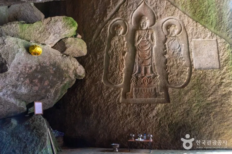 Photo: Korea Tourism Organization photo gallery (Sangcheon-ri, Wicheon-myeon, Geochang-gun, Gyeongsangnam-do) · KOGL
Hwangseoksan sits in Geochang-gun, Gyeongsangnam-do. The data puts its summit at 1,202m, though nearby survey points also come in anywhere between 1,192m and 1,216m. To the north rises Bukbong (1,215m), and to the west the ridgeline runs on to Geumwonsan, Gibaeksan, and Geomangsan, forming a single connected massif — which is why Hwangseoksan is known not just as a standalone climb but as part of a longer traverse linking the neighboring peaks. The terrain is a mix of rocky ridges and earthen slopes, so it leans toward the harder end of the scale. A there-and-back to the main summit is comfortable as a day hike, but if you’re stringing together Geumwonsan, Gibaeksan, and Geomangsan along the ridge, the distance and time involved make it safer to plan on at least one overnight.
The Lay of the Land
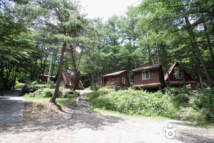 Photo: Korea Tourism Organization photo gallery · KOGL
The Hwangseoksan massif is all rocky peaks and sharply defined ridgelines, and up near the summit you hit a stretch of knife-edge rock ridge — the classic “bone mountain” look that Geochang is known for. Dig into the public peak data and you’ll find, alongside the 1,202 m summit itself, nearby survey points logged at 1,192 m, 1,210 m, and 1,216 m. My read is that the summit is really a cluster of rocky knobs rather than a single point, so the number shifts a little depending on where you measure. The north peak, running off in that direction, is registered separately at 1,215 m — which tells you the main summit rock and the north peak sit on one continuous ridge axis. Look west and the Geumwonsan–Gibaeksan ridge takes over; the data puts Gibaeksan’s summit area somewhere in the 1,357–1,369 m range, so it’s a noticeably taller mountain than Hwangseoksan. The fact that measured trail data shows a high point of 1,419 m up around the summit zone fits the same picture — this is one big connected ridge system. Broadly speaking, the valleys are gentle, soil-covered slopes, and then the terrain flips abruptly to rock ridge and boulder as you close in on the top. That’s the signature of this range.
What the Hike Feels Like
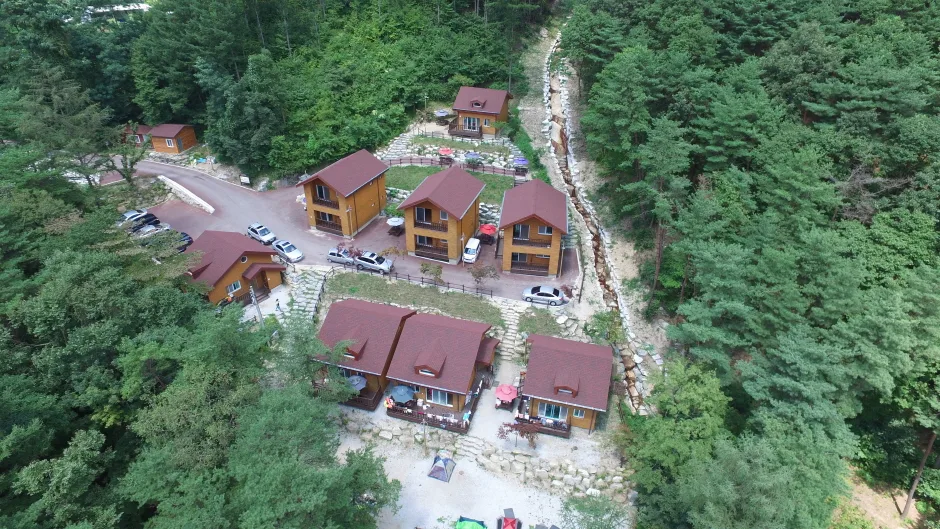 Photo: Korea Tourism Organization tourism photo gallery (471-27 Geumwonsan-gil, Wicheon-myeon, Geochang-gun, Gyeongsangnam-do) · KOGL
The lower stretch is mostly gentle dirt trail winding through thick forest and along a stream, so your legs feel fresh early on. Coming up from the Geumwonsan Recreational Forest side, you pass valley features like Munbawi Rock and Yuancheong Falls — in summer this section is known for the sound of running water and shade that takes the edge off the heat. Closer to the summit, though, the mood changes completely: exposed rock ridges and steep pitches take over, and there are spots where you’ll be using your hands. From the top you get views wide open in every direction, taking in the ridgeline that runs on to Geumwonsan, Gibaeksan, and Geomangsan — which is why Korean rock-ridge hikers rate this as one of the better viewpoint routes. In autumn it’s the fall colors along the ridge set against the rock peaks; in winter it’s the ridge under snow and ice. Both are striking, and both come with a matching jump in risk. That’s just how this mountain is.
Main Routes (by Trailhead)
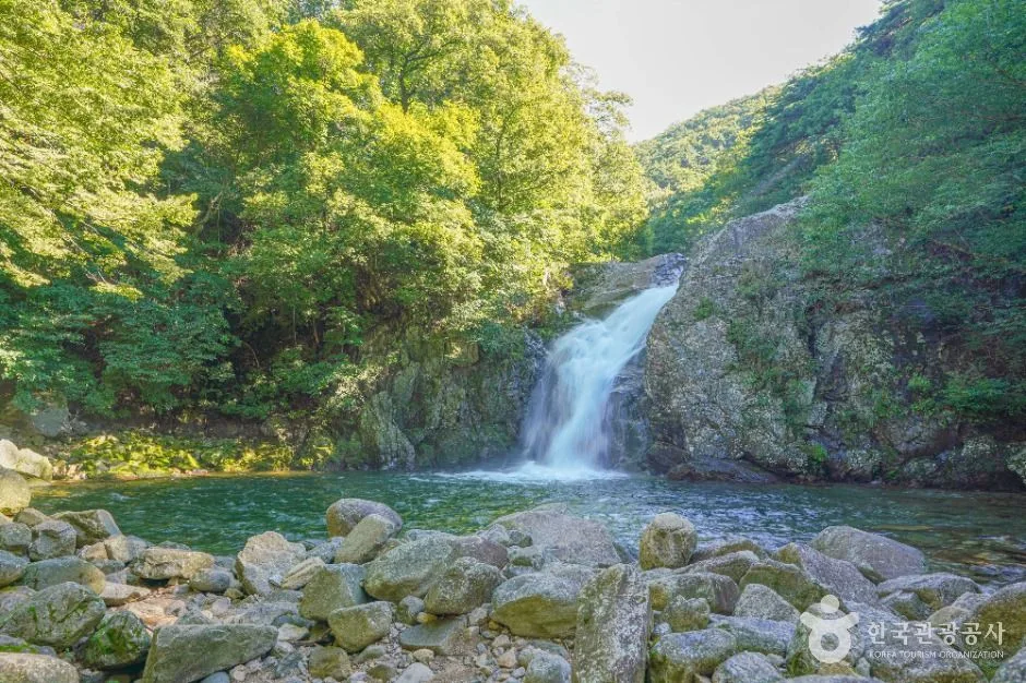 Photo: Korea Tourism Organization photo gallery (Sinan-ri, Anui-myeon, Hamyang-gun, Gyeongsangnam-do) · KOGL
| Route (trailhead → summit) | Distance | Net elevation gain | Est. time (one way) | Difficulty | Popularity |
|---|---|---|---|---|---|
| Sumangnyeong → Geumwonsan summit trail | 7.11km | ↕481m | about 2 hr 35 min | ★★★★☆ | ★★★☆☆ |
| Geumwonsan management office → summit | 11.06km | ↕889m | about 4 hr 15 min | ★★★★★ | ★★★★★ |
| Entrance restrooms → summit | 12.85km | ↕918m | about 4 hr 45 min | ★★★★★ | ★★★☆☆ |
| Forest Cabins parking lot → Geumwonsan summit trail | 6.29km | ↕717m | about 2 hr 46 min | ★★★★☆ | ★★★★☆ |
| Forest Culture & Recreation Center → Gibaeksan summit trail | 4.22km | ↕858m | about 2 hr 29 min | ★★★★☆ | ★★★★☆ |
| Yongchusa Iljumun parking lot → Gibaeksan summit trail | 11.3km | ↕878m | about 4 hr 17 min | ★★★★★ | ★★★★☆ |
| Geomangsan approach trail → summit | 7.73km | ↕797m | about 3 hr 16 min | ★★★★★ | ★★☆☆☆ |
| Cheongnyangsa entrance → north peak | 4.7km | ↕717m | about 2 hr 22 min | ★★★★☆ | ★★★☆☆ |
※ Source: Korea Hiking & Trekking Support Center, 100 Famous Mountains GPX data (distance, elevation, time, difficulty) · popularity ratings are for reference only
Course 1 — Sumangnyeong → Trail to Geumwonsan Summit
Route: Sumangnyeong → Yongchu Valley trail map board → Junction 3 → Trail to Geumwonsan Summit → Junction 14 → Sumangnyeong pavilion
Getting to the trailhead: Sumangnyeong is the pass linking Geochang and Hamyang, and by most accounts a car or taxi is the easier bet here rather than public transit. There seems to be a small clearing at the top of the pass where you can leave a vehicle, but there’s no data registering it as an official parking area, so it’s worth checking the actual route before you go.
What it’s like / who it suits: The net elevation gain is relatively low compared with the other courses, so the ridge walking doesn’t take as much out of you, and since you’re already starting at some altitude, you get ridge views over a fairly short stretch. A good fit for hikers who want the ridge experience without the physical toll.
Course 2 — Geumwonsan Management Office → Summit
Route: Geumwonsan Management Office → Geumwonsan Recreational Forest shop → Munbawi Rock → restroom → Junction 5 → Junction 6 → Jijaemi Rest Area → Junction 8 → Junction 9 → Junction 10 → Geumwonsan trail map board → Junction 12 → pavilion → Junction 18 → spring
Getting to the trailhead: There’s a bus stop right at the entrance to Geumwonsan Recreational Forest (the Geumwonsan Recreational Forest stop), which makes this one of the few trailheads you can reach by public transport. There’s also vehicle access near the forest management office, so parking is said to be reasonably easy.
What it’s like / who it suits: Shops, restrooms, and rest areas are spread fairly evenly across the first half of the route, so even first-timers can head up with a bit of peace of mind — it’s a proper, well-maintained trail. It’s a long one, running through a valley section with sights like Munbawi Rock and carrying on all the way to the summit. Good pick if you want a single day’s hike that gives you the full, definitive experience of this mountain group.
Course 3 — Entrance Restroom → Summit
Route: Fork 2 → Two Benches → Hyeonseongsan Rock Ridge → Hyeonseongsan → Fork 6 → Fork 7 → Fork 8 → Fork 9 → Fork 30 → Fork 31 → Seonnyeodam → Entrance Restroom
Getting to the trailhead: This course takes in the ridge that runs over Hyeonseongsan, so most people approach it via the nearby valley access road. A car looks like the easier option here rather than public transit, and you’ll want to check the parking situation on the ground.
What it’s like / who it’s for: With the Hyeonseongsan rock ridge thrown in, this is one of the longer routes among the eight, and the appeal is the variety — you’re alternating between rocky ridgeline and regular ridge walking the whole way. You can also work in valley highlights like Seonnyeodam, which makes it a good fit for experienced hikers who trust their legs and enjoy a long day out.
Course 4 — Forest House Parking Lot → Trail to Geumwonsan Summit
Route: Forest House parking lot → women’s safe restroom → information signboard inside Geumwonsan Recreational Forest → Junction 4 → restroom inside the recreational forest → Geumwonsan–Gibaeksan hiking map → Junction 7 → Junction 8 → Junction 9 → Yuancheong Falls → Junction 11 → Junction 12 → Junction 13 → trail to Geumwonsan summit → Geumwonsan East Peak
Getting to the trailhead: Just as the name “Forest House parking lot” suggests, this spot reportedly has its own parking area. It sits within the Geumwonsan Natural Recreational Forest zone, so you can also walk in from the bus stop mentioned earlier.
What it’s like / who it’s for: Facilities here are solid — a women’s safe restroom, restrooms inside the recreational forest — and the route passes Yuancheong Falls, so it’s a great climb if you want valley scenery along the way. I’d especially recommend it for families and for anyone who cares about having proper facilities on hand.
Course 5 — Forest Culture & Recreation Center → Gibaeksan Summit Trail
Route: Forest Culture & Recreation Center → Junction 8 → Gibaeksan Summit Trail → Junction 10 → Two Benches → Gibaeksan Summit
Getting to the trailhead: The Forest Culture & Recreation Center doubles as lodging, so it’s easy to reach by car and reportedly has parking available nearby.
What it’s like / who it’s for: It’s the shortest of the eight courses in terms of distance, but with a net elevation gain of 858m it packs all that climbing into a short stretch — a steep-and-relentless kind of route. Good if you want to get up Gibaeksan in a hurry, though you’ll want the fitness and the gear to handle those steep sections.
Course 6 — Yongchusa Ilju-mun Parking Lot → Trail to Gibaeksan Summit
Route: Yongchusa Ilju-mun Parking Lot → trail marker → Junction 3 → Yongchu Valley trail map → two benches → trail to Gibaeksan summit → three benches → Junction 10 → observation deck → Nurukdeom Rock → Forest Genetic Resource Reserve notice → Second Nurukdeom Rock → viewing deck → Junction 18 → Junction 19
Getting to the trailhead: There’s a parking lot right in front of the Yongchusa Ilju-mun gate, which makes this course an easy one to reach by car. The road along the temple approach is well maintained, so access is pretty good overall.
What it’s like / who it’s for: The big draw here is that the scenic spots — the observation deck, Nurukdeom Rock, Second Nurukdeom Rock, the viewing deck — are spread out along the whole route, so you get views the entire way up. It’s a good pick if you’d like to look around Yongchusa temple while you’re at it, or if views are what you’re really after.
Course 7 — The Trail to Geomangsan → Summit
Getting to the trailhead: For the Geomangsan-side trailhead, driving is generally the norm rather than public transport, and I couldn’t find any data on an official parking lot — so it’s worth checking ahead on what the roadside situation is like in the nearby village.
What it’s like / who it’s for: This is among the toughest of the eight courses. The climb follows the ridge for a long stretch, and it takes a real toll on your legs. It’s a good fit for experienced hikers planning a full traverse of the Geumwonsan–Gibaeksan ridge.
Course 8 — Cheongnyangsa Temple Entrance → North Peak
Getting to the trailhead: You reach the Cheongnyangsa entrance via the temple access road, and there’s usually a small parking area for temple visitors. Public transit looks limited here, so driving yourself or taking a taxi is the safer bet.
What it’s like / who it suits: This one runs straight up to Hwangseoksan’s North Peak, passing through the temple grounds and gaining its elevation over a relatively short distance. It’s a good fit if the North Peak views are what you’re after rather than the rocky ridge at the summit, or if you’d like to combine a bit of temple sightseeing with your hike.
Difficulty, Trail Surface, and Cautions
According to the Korea Forest Service’s trail spatial data, the highest difficulty rating registered for anything within Hwangseoksan’s boundaries is “Difficult,” and in the surveyed GPX course data, more than half of the eight summit-area courses come in at the top difficulty rating (★★★★★). There’s no separate trail-surface data on file, but you can tell from the names that turn up in the individual course descriptions — “Hyeonseongsan Ridge,” “Nurukdeom Rock,” “Second Nurukdeom Rock” — that there are exposed rocky ridge and boulder sections scattered around the summit area. Those stretches get dramatically more slippery in the rain, and in winter, ice sends the risk level through the roof. Tread carefully.
The public data logs zero registered POIs for hazard zones, viewpoints, or trailheads/exit points, but the course-level details do turn up actual spots worth stopping for — an observation platform, Nurukdeom Rock, a viewing deck. Restrooms (including women’s safety restrooms) show up in several places along the courses in the Geumwonsan Natural Recreation Forest area. That said, the whole mountain is logged as having zero water points — no spring, no fountain — so you should assume there’s effectively nowhere to top up your water bottle once you’re on the trail.
Distance and Time Required
The total length of hiking trails in the district comes to 62.3 km, but that’s the sum of several courses combined — not the distance of any single route. It’s the whole trail network across the Hwangseoksan area. Of the seven registered sections (listed by administrative district), most are marked “Easy,” though it’s worth remembering that these ratings are aggregated at the administrative level and don’t necessarily reflect the difficulty of an actual climb to the summit. Based on measured GPX data, summit routes range from about 2 hours 20 minutes one way to as long as 4 hours 45 minutes. The data puts the cumulative time for all sections in the district at 1,108 minutes ascending and 766 minutes descending, which works out to an average ascent pace of roughly 18 minutes per kilometer. Again, that cumulative figure isn’t the time for any one course — it’s the total for the entire trail network — so when you’re actually picking a route, go by the one-way times in the course table above. A round trip to a single peak makes for a comfortable day hike, but a traverse linking Geumwonsan, Gibaeksan, and Geomangsan is long enough, in both distance and time, that planning for at least one overnight is the safer call.
Getting There (Public Transit & Parking)
The Hwangseoksan range sits in Geochang County, Gyeongsangnam-do, so there’s no subway access. The usual route is to catch an intercity or express bus toward Geochang from somewhere like Seoul Nambu Terminal or Daegu Seobu Terminal, then transfer in downtown Geochang to a local bus or taxi headed for Geumwonsan Natural Recreation Forest. The one bus stop registered in the public data (TAGO) near the trailheads is “Geumwonsan Natural Recreation Forest,” and from there you can walk to the trailheads for the courses in the recreation forest area — the Geumwonsan management office, the Forest House parking lot, and so on. That said, the public data lists zero officially registered parking lots, so it’s worth checking KakaoMap or Naver Map for the latest on what parking is actually like on the ground before you go. Foreign visitors especially should know that Google Maps is often unreliable for Korean roads and public transit — I’d strongly recommend double-checking your actual route and bus schedules in the KakaoMap or Naver Map app.
Season, Weather, and Gear
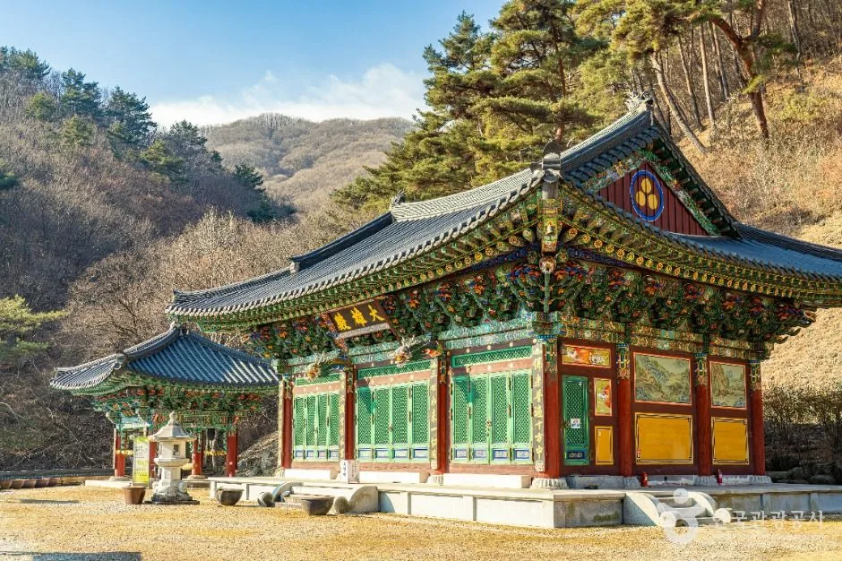 Photo: Korea Tourism Organization photo gallery (623 Yongchugyegok-ro, Anui-myeon, Hamyang-gun, Gyeongsangnam-do) · KOGL
Spring and fall are generally considered the easiest times to hike the Hwangseoksan range, and autumn in particular gets singled out for the way the fall colors play against the rocky peaks along the ridge. Summer has its appeal too — the valley sections are shady and cool — but the heat and humidity will drain you faster than you expect, so bring plenty of water. Winter is a different story: the rocky ridge near the summit ices over easily, which pushes the difficulty up sharply. Without crampons, gaiters, and other winter gear, it’s better to skip it. As for essentials, I’d recommend boots with ankle support, plenty of water (there are no drinking fountains, so carry everything you’ll need), a waterproof jacket for rain and cold, crampons and gaiters in winter, and a headlamp with spare batteries, since the ridge section takes a good while.
Tips for Foreign Travelers
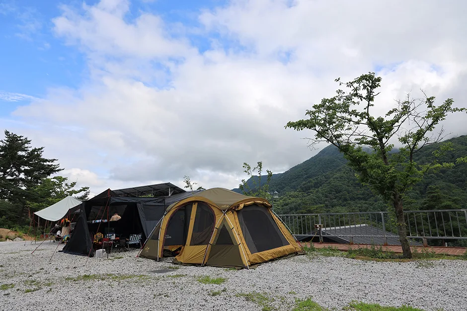 Photo: Korea Tourism Organization photo gallery (494-6 Yongchugyegok-ro, Anui-myeon, Hamyang-gun, Gyeongsangnam-do) · KOGL
Hwangseoksan is romanized as Hwangseoksan, and the neighboring peaks appear as Geumwonsan, Gibaeksan, and Geomangsan, with the north peak usually signposted as Bukbong. The main trailhead, Geumwonsan Natural Recreation Forest, is signed under that English name, and it helps to know the temple names too — Yongchusa and Cheongnyangsa — when you’re finding your way. No hiking permit is required, but sections run by the Korea Forest Service, such as Geumwonsan Natural Recreation Forest, may charge a small entrance fee, so it’s worth checking at the ticket booth on site. There are several restrooms along the courses in the Geumwonsan Natural Recreation Forest area (the ranger station and Forest Cabin parking lot routes, among others), but public data lists zero drinking fountains, so be sure to carry plenty of water before you set off. For maps, I’d recommend KakaoMap or Naver Map over Google Maps — they’re far more accurate for Korean trails and public transport. The rocky ridge sections near the summit carry a real risk of accidents, so hiking with a companion beats going solo, and you’ll want a charged phone and some way to call for help.
Other Mountains Nearby
- Geumosan in Gumi, home to Daehye Falls and fortress ridgelines — about 63 km as the crow flies
- Palgongsan in Daegu, a granite ridge dotted with Buddhist relics — about 88 km as the crow flies
- Mudeungsan in Gwangju, where stone columns stand like a folding screen — about 94 km as the crow flies
📍 The Knife-Edge Ridges of Hwangseoksan: A Traverse in Geochang, GyeongnamLocation
Contact: bumseok.view [at] gmail [dot] com
Related posts
-
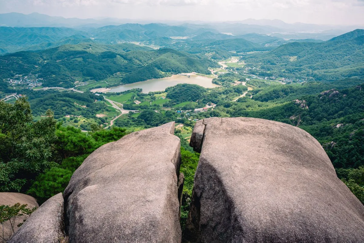
Ridgeline Meadows of Royal Azalea and Silver Grass: Hwangmaesan in Hapcheon and Sancheong
-
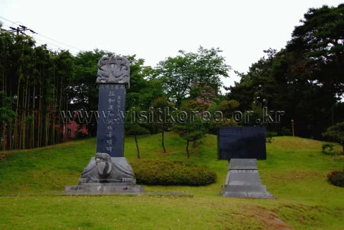
Silver Waves of Silvergrass Ringed by Hwawangsanseong Fortress: Hwawangsan in Changnyeong
-
Danyang's Doraksan in Chungbuk: Autumn Colors the Rocky Ridge
-
Through Thick Forest to a Highland Ridge: Cheonseongsan in Yangsan
Comments