Through Thick Forest to a Highland Ridge: Cheonseongsan in Yangsan
Hiking · Published 8/3/2026 ·
등산로 트랙·시설 (공공데이터: 전국등산로 공간정보) · 🚩시종점 💧음수대 👁️조망점 🏠대피소 🅿️주차장 ⚠️위험 · 지도 © OpenStreetMap ⤓ GPX 다운로드
At a Glance
| Metric | Rating |
|---|---|
| Access (public transit & parking) | ★★☆☆☆ |
| Trail difficulty | ★★★☆☆ |
| Water & springs on the mountain | ★☆☆☆☆ |
| Need to stay overnight? | ★★☆☆☆ (a day trip is plenty) |
| Difficulty by season — spring | ★★★☆☆ |
| Difficulty by season — summer | ★★★★☆ |
| Difficulty by season — autumn | ★★☆☆☆ |
| Difficulty by season — winter | ★★★★★ |
※ Source: Korea Forest Service trail geospatial data · access and seasonal figures are rough guides
Overview
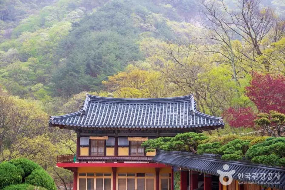 Photo: Korea Tourism Organization photo gallery (Habuk-myeon, Yangsan-si, Gyeongsangnam-do) · KOGL
Cheonseongsan (천성산, 千聖山) sits in Yangsan, Gyeongsangnam-do, and it’s a well-known day-trip mountain for people living in Busan and Yangsan. According to the trail data, the summit tops out at 882m, and the terrain leans more toward broad, gentle earthen ridgelines than steep rocky scrambles. Some routes take a good three hours one way to reach the top — the mountain is wide and deep enough for that — so first-timers may find it a notch above moderate. Stick to one of the main routes and you can comfortably do it as a day hike; there’s no real need to plan for an overnight.
The Lay of the Land
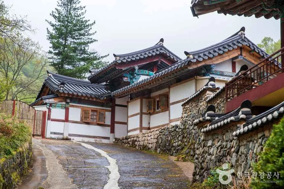 Photo: Korea Tourism Organization tourism photo gallery (Habuk-myeon, Yangsan-si, Gyeongsangnam-do) · KOGL
Cheonseongsan isn’t a single pointed peak — it’s a mountain made up of several summits linked by broad, plateau-like ridgelines. The upper reaches are known less for steep rocky spires than for gently rolling earthen ridges, with patches of rock scattered throughout, some small and some not. The peak data in the trail records lists a summit named “San Jeongsang” (literally “mountain top”) at 550m, but that appears to be a mid-slope peak well below the actual summit area, and it’s worth keeping separate from the 882m high point measured on the GPX track. The mountain spreads out across a wide base, holding several valleys (the Naewonsa valley side being the best known) along with wetland terrain — which is really the point: this isn’t a simple peak-shaped mountain but a broad sweep of mountain landscape.
What the Hike Feels Like
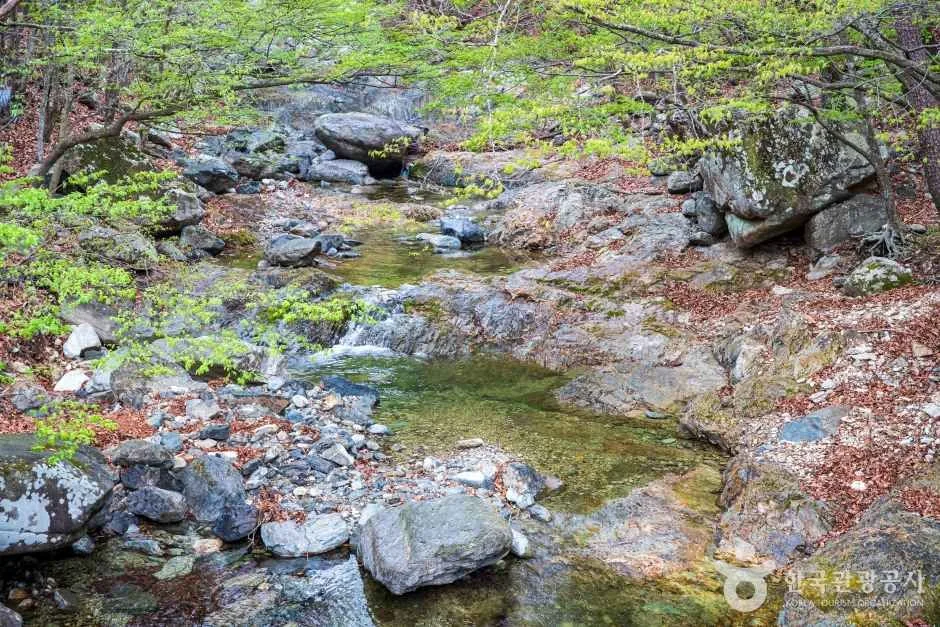 Photo: Korea Tourism Organization tourism photo gallery (Habuk-myeon, Yangsan-si, Gyeongsangnam-do) · KOGL
Hiking Cheonseongsan mostly feels like a long walk through dense forest. The lower stretch follows a wooded trail alongside a stream, and as you get closer to the ridge, a few spots open up and give you long views out over the distance. Rather than the tension of scrambling over rock ridges, think of it as a stamina hike — steadily climbing dirt paths and scree fields. In spring, the ridge trail is lovely with fresh green growth and wild mountain greens; in autumn, it’s the fall colors. In summer, the sound of the stream and plenty of shade along the forest trail take some of the edge off the heat. That said, the course itself is long, so no matter the season, the fatigue tends to pile up the further you go.
Main Routes (by Trailhead)
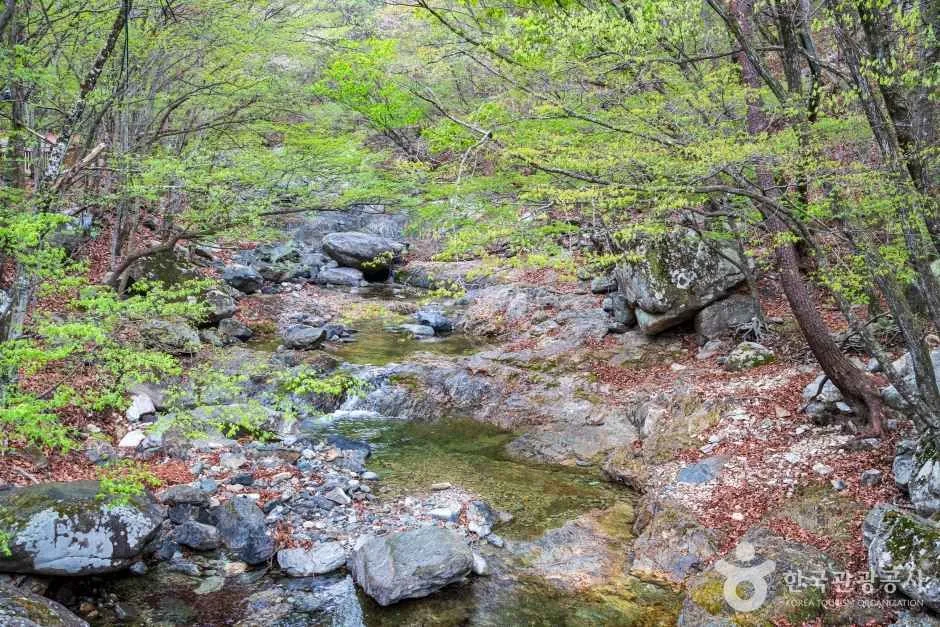 Photo: Korea Tourism Organization photo gallery (Habuk-myeon, Yangsan-si, Gyeongsangnam-do) · KOGL
| Route (trailhead → summit) | Distance | Net elevation gain | Est. time (one way) | Difficulty | Popularity |
|---|---|---|---|---|---|
| Viewpoint → summit | 8.88km | ↕847m | about 3 hr 38 min | ★★★★★ | ★★★☆☆ |
| Junction 1 → summit | 7.7km | ↕490m | about 2 hr 45 min | ★★★★☆ | ★★★★☆ |
※ Source: Korea Hiking and Trekking Support Center, 100 Famous Mountains GPX (distance, elevation, time, difficulty) · Popularity ratings are for reference only
Course 1 — Viewpoint → Summit
Route: Viewpoint → Yonggolsan → Junction 9 → Junction 10 → Junction 11 → Togok → Junction 13 → Junction 14 → Bokcheonjeongsa
Getting to the trailhead: I couldn’t pin down reliable subway connection details, but the usual approach is to take a Yangsan city bus to somewhere near the trailhead. There’s no dedicated parking lot that I could confirm, so public transit is your best bet — and it’s worth checking actual road conditions on something like KakaoMap before you head out.
What it’s like, and who it’s for: With a net elevation gain of 847m, this ranks among the most physically demanding of all the courses here. As the route names suggest, it’s a long ridge walk that goes over Yonggolsan before joining the summit area, and along the way you’ll pass a few spots near Togok where the view opens up and you can see distant mountain ridgelines. Both the distance and the elevation change are substantial, so it suits people with a reasonable amount of fitness and hiking experience behind them. If you’re a beginner, give yourself plenty of extra time.
Course 2 — Junction 1 → Summit
Route: Junction 1 → Junction 2 → Junction 3 → Junction 4 → Junction 5 → Rest Area → Viewpoint → Junction 9 → Junction 10 → Imgyeongsa Temple → Junction 12 → Junction 15 → Junction 16 → Junction 17 → Junction 19
Getting to the trailhead: As with the other route, the data doesn’t show any dedicated parking here, so taking a city bus to somewhere near the trailhead is the practical option. For the exact stop, search “Cheonseongsan” on KakaoMap or Naver Map and double-check the actual route before you go.
What it’s like / who it suits: This stretch strings together junctions and rest areas at close intervals, and with a net elevation gain of 490m it’s gentler than Course 1 — noticeably easier on the legs. You pass a rest area and a viewpoint back to back partway up, so you can alternate between catching your breath and taking in the view. With this many junctions along the way, though, it pays to keep an eye on the signposts. It’s a fair bit easier to reach than Course 1, which makes it a good fit for regular hikers who’ve done a day hike or two.
Difficulty, Trail Surface, and Cautions
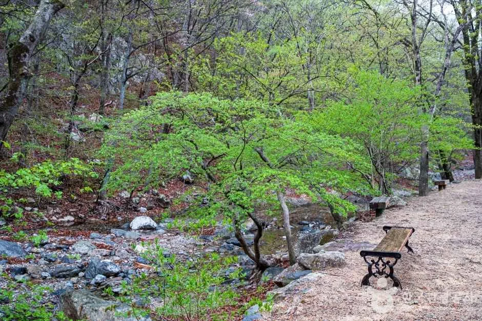 Photo: Korea Tourism Organization photo gallery (Habuk-myeon, Yangsan-si, Gyeongsangnam-do) · KOGL
According to the trail data, the hardest registered route in the area is rated “moderate,” and there’s no separate entry for trail surface. That said, actual GPX measurements put the summit-bound courses at ★★★★☆ to ★★★★★, so keep in mind that the stretch heading up to the peak feels noticeably tougher than the area’s overall average would suggest. The public data lists zero hazard zones, zero viewpoints, and zero shelters, so don’t count on finding safety facilities or anywhere to take cover. And since the surface isn’t specified, even if it’s mostly dirt path, you’ll want to prepare on your own for slick conditions in the rain and ice in winter.
Distance and Time Required
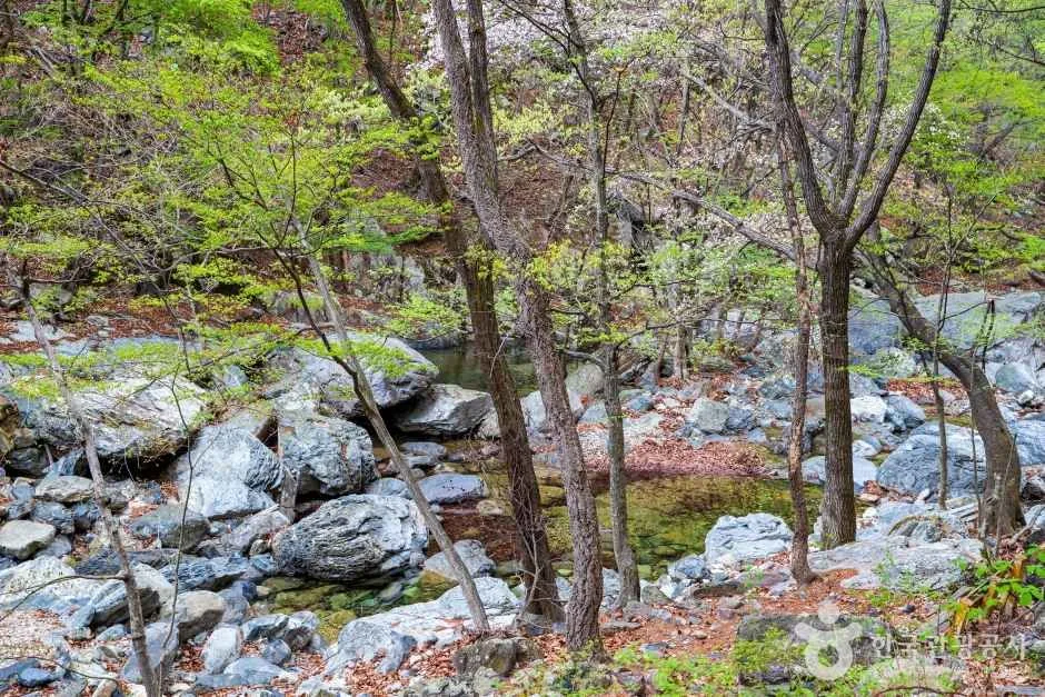 Photo: Korea Tourism Organization photo gallery (Habuk-myeon, Yangsan-si, Gyeongsangnam-do) · KOGL
The total length of the registered trail sections in the district is 179.13 km, which is the sum of all the sections in the Cheonseongsan area — don’t mistake it for the distance of a single course. Likewise, the time data of 3,319 minutes ascending and 2,315 minutes descending is a cumulative figure across every section in the district. Divide that by the number of courses and the average ascent pace works out to roughly 19 minutes per kilometer. At that pace, the summit courses (8.88 km and 7.7 km) come out to somewhere in the 3–4 hour range on paper, which lines up fairly well with the estimates from actual GPX measurements (about 2 hours 45 minutes to 3 hours 38 minutes). A hike that just takes in the summit course is comfortably a day trip out and back — unless you’re planning to through-hike all 179 km of registered trail, there’s no need to pack for an overnight stay.
Getting There (Public Transit & Parking)
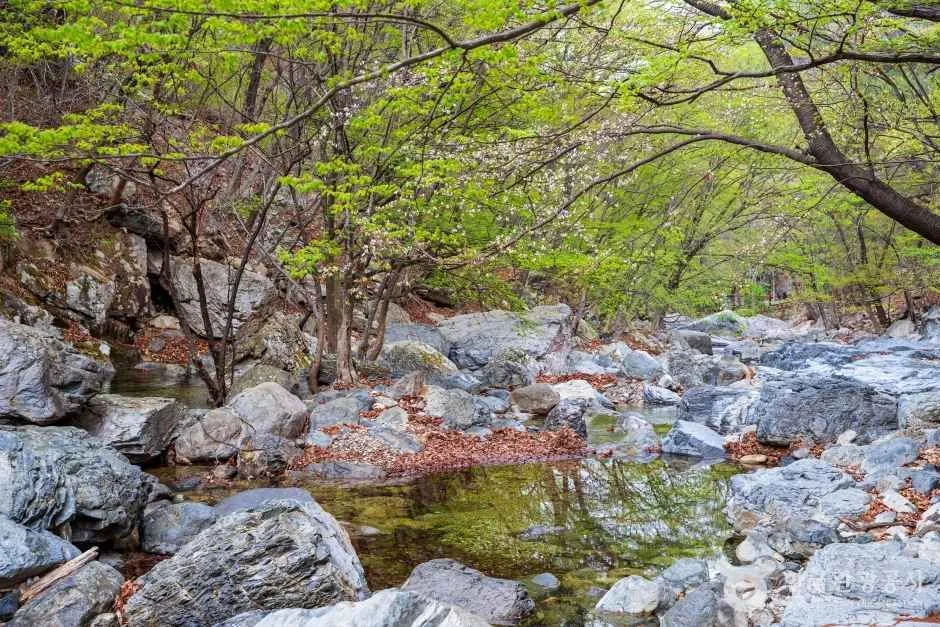 Photo: Korea Tourism Organization Tourism Photo Gallery (Habuk-myeon, Yangsan-si, Gyeongsangnam-do) · KOGL
Near the Cheonseongsan trailhead you’ll find bus stops like Sucheong Village, Madangmeolli, Kolon Haneulchae, and Mulgeum Hanshin The Hue. These are routes that run through the apartment complexes of the Mulgeum area in Yangsan, so the usual approach is to take a Busan or Yangsan city bus to one of these stops and then walk the rest of the way to the trailhead. Public data shows no dedicated parking lot registered near the trailhead, so if you’re driving, it’s worth checking ahead for a nearby public lot or village parking space. For accurate real-time routes and stop locations, search “천성산” on KakaoMap or Naver Map and double-check using their walking and public transit directions (Google Maps is often unreliable for Korean mountain trails).
Season, Weather, and Gear
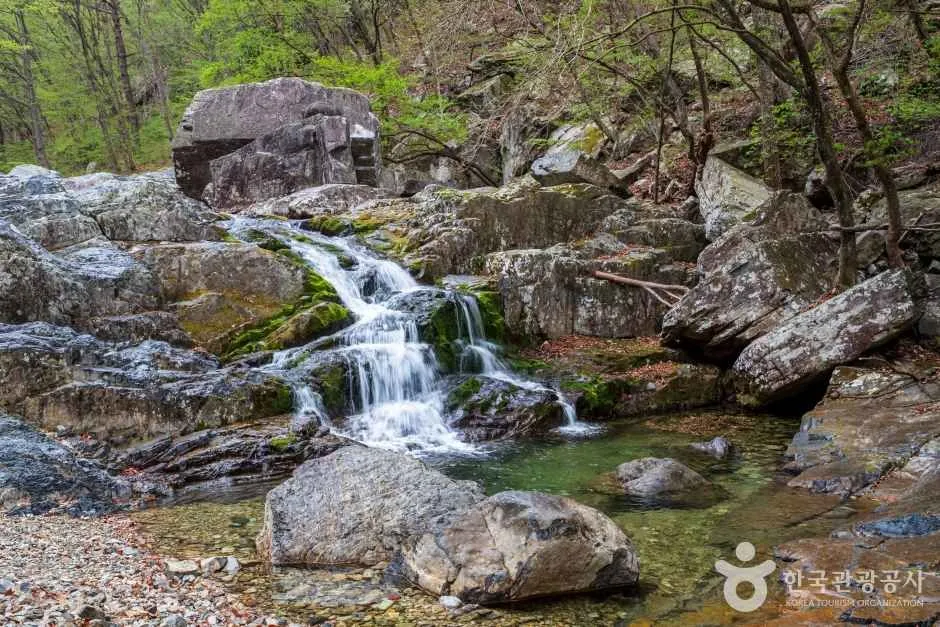 Photo: Korea Tourism Organization photo gallery (Habuk-myeon, Yangsan-si, Gyeongsangnam-do) · KOGL
Spring and fall are the easiest seasons for this hike. Summer humidity and heat will drain you fast, so bring plenty of water; winter means ice along the ridgeline and hard wind, so you’ll want crampons and a windproof layer. For essentials, I’d recommend hiking boots with ankle support, extra water (there are almost no water points on the course, so definitely pack more than you think you need), trekking poles, and a waterproof, windproof jacket for rain and gusts. The course is long, so from late fall into winter, when daylight is short, start early and throw a headlamp in your pack to be safe.
Tips for International Travelers
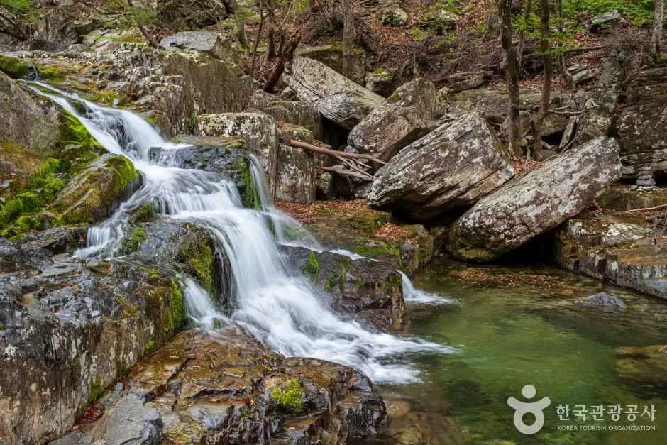 Photo: Korea Tourism Organization photo gallery (Habuk-myeon, Yangsan-si, Gyeongsangnam-do) · KOGL
Cheonseongsan is the romanized name of the mountain, and be warned: most of the trail signs along the route list place names in Korean only, so it’s worth screenshotting the Korean spellings before you go. I couldn’t find any record of permits or entrance fees, so the mountain appears to be open to anyone — but do double-check the notice boards on site for the latest information. The data doesn’t confirm any restrooms or drinking fountains either, so I’d suggest using the facilities in the village near the trailhead (the Mulgeum area) and packing plenty of water before you head up. For navigation, KakaoMap or Naver Map is far more accurate than Google Maps, so use one of those two — and since this is a long route with a lot of forks, loading a GPX track into a hiking app or downloading an offline map will cut your chances of getting lost. Some stretches see very little foot traffic, so bring a companion rather than going solo if you can, and give yourself plenty of buffer so you’re back down before sunset.
Other Mountains Nearby
- Busan’s Godangbong ridge, walking along the Geumjeongsanseong fortress wall — about 11 km as the crow flies
- Silver grass plains and rocky-ridge views on Ulsan’s Sinbulsan — about 22 km as the crow flies
- Eoreumgol ice valley and the Sajapyeong silver grass plateau on Miryang’s Jaeyaksan — about 23 km as the crow flies
📍 Through Thick Forest to a Highland Ridge: Cheonseongsan in YangsanLocation
Contact: bumseok.view [at] gmail [dot] com
Related posts
-

Ridge After Ridge in the Yeongnam Alps: Unmunsan in Cheongdo and Miryang
-
Daeam-san in Changwon, Where Forest Gives Way to Rocky Ridgeline
-

Ridge After Ridge, Hugging a Reservoir: The 'Alps of Chungnam,' Cheonggyesan in Cheongyang
-
Wild Meadows on the Gombaewol Ridge, a Primeval Forest in Jeombongsan, Gangwon
Comments