Ice Valley and the Sajapyeong Silver Grass Plateau | Mt. Jaeyaksan, Miryang
Hiking · Published 7/19/2026 ·
등산로 트랙·시설 (공공데이터: 전국등산로 공간정보) · 🚩시종점 💧음수대 👁️조망점 🏠대피소 🅿️주차장 ⚠️위험 · 지도 © OpenStreetMap ⤓ GPX 다운로드
At a Glance
| Metric | Rating |
|---|---|
| Accessibility (Public Transit/Parking) | ★★☆☆☆ |
| Trail Difficulty | ★★★☆☆ |
| Water Availability (Springs/Streams) | ★☆☆☆☆ |
| Overnight Stay Needed? | ★★★☆☆ (1 night for full traverse) |
| Seasonal Difficulty — Spring | ★★★☆☆ |
| Seasonal Difficulty — Summer | ★★★★☆ |
| Seasonal Difficulty — Autumn | ★★★☆☆ |
| Seasonal Difficulty — Winter | ★★★★☆ |
※ Source: Korea Forest Service trail data. Accessibility and seasonal ratings are estimates.
Overview
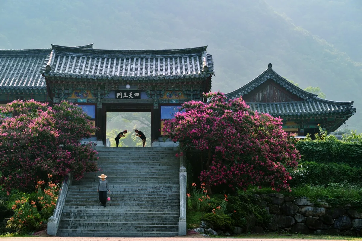 Photo: Korea Tourism Organization Photo Gallery (Danjang-myeon, Miryang, Gyeongsangnam-do) · Gonggonuri
Jaeyaksan is a mountain that spans the Danjang-myeon and Sannae-myeon areas of Miryang, Gyeongsangnam-do, serving as a key peak in the range known as the Yeongnam Alps. With its summit reaching 1,211m, it’s a wonderful place to combine a good hike with a bit of cultural and natural exploration, especially with the ancient Silla-era Pyochungsa Temple and the famous Miryang Ice Valley (a designated natural monument) located at its base. While the terrain is mostly earthy and forest-heavy, you’ll encounter some rocky ridges and stunning viewpoints near the summit. It’s generally rated as “intermediate,” making it a solid choice for those looking for a bit of a challenge without being completely overwhelmed. Most routes can be completed in a single day, but since the total trail network spans an impressive 67.29km, you might want to plan for an overnight stay if you’re thinking of tackling a full traverse.
Terrain and Topography
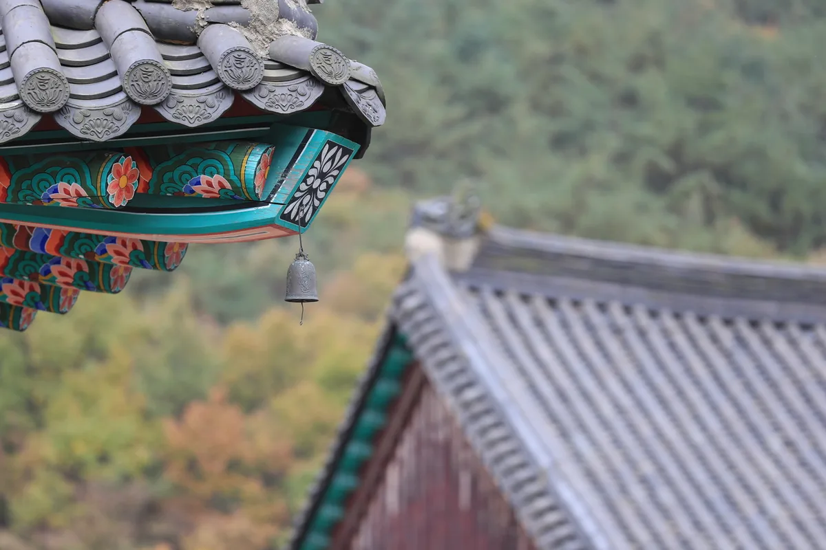 Photo: Korea Tourism Organization Photo Gallery (Danjang-myeon, Miryang-si, Gyeongsangnam-do) · Public Nuri
Jaeaksan isn’t just a single peak; it’s actually a mountain range made up of several peaks connected by ridges. Looking at the data, Sajabong (1210m) is the highest point in the area, with peaks like Jaeaksan (1134m), Sumibong (1137m), Munsubong (965m), and Gwaneumbong (911m) stretching out along the surrounding ridges. There are also several unnamed summits scattered throughout the trails (at 646m, 1124m, and 1200m), which really highlights how the landscape is a tight-knit network of ridges and saddles.
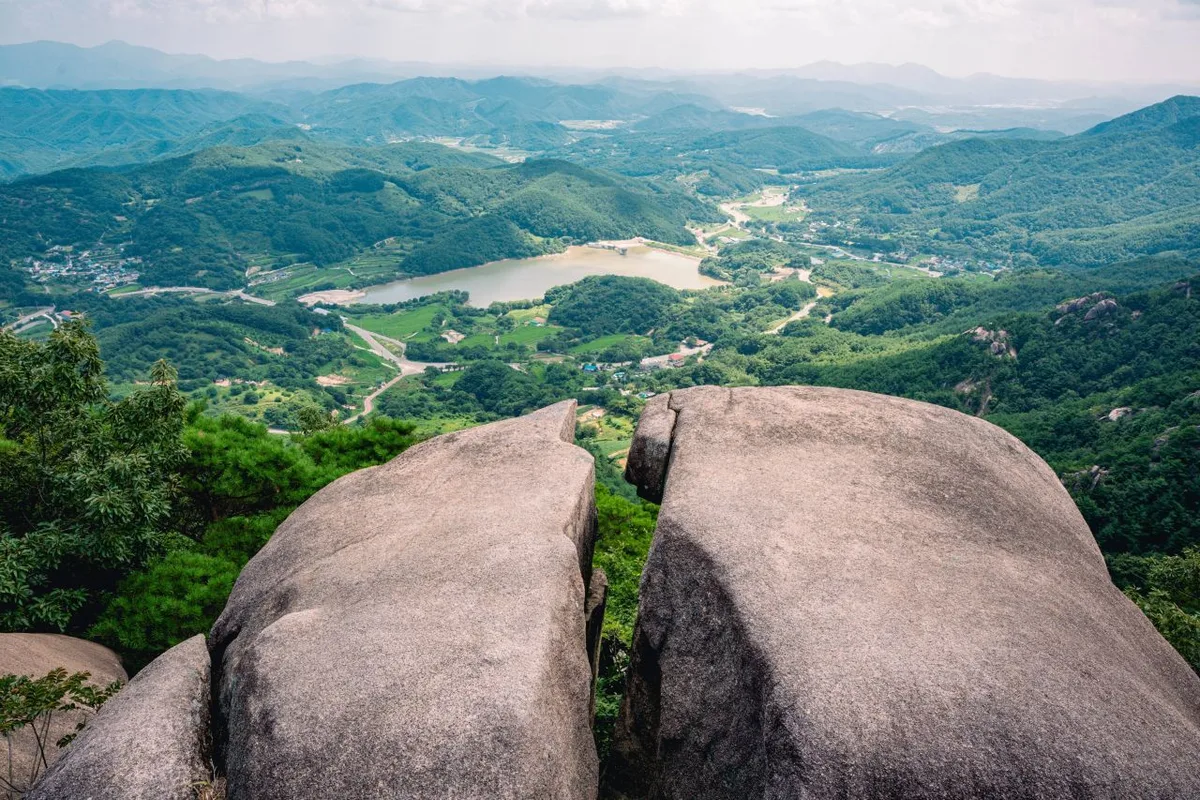
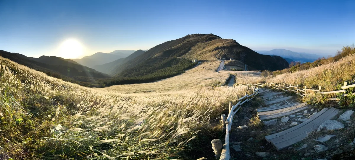
The general terrain is mostly an “earthy” mountain, characterized by wide expanses of soil and grassland. However, the upper ridges feature rocky outcrops and craggy sections, so the terrain feels quite different depending on which direction you’re climbing from. The Saja-pyeong plateau near the summit is a real standout—it’s a rare alpine wetland and silver grass meadow, offering a unique landscape that feels quite different from your typical rocky peak.
The Vibe of the Hike
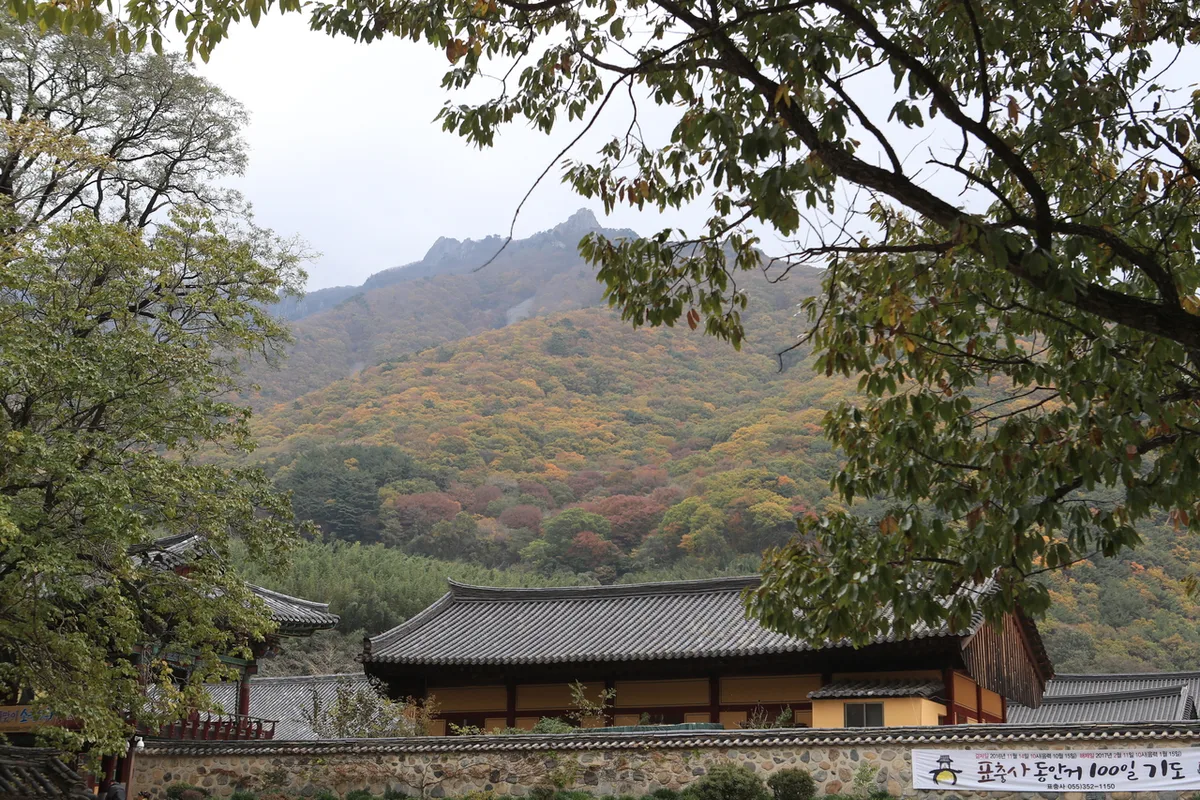 Photo: Korea Tourism Organization Photo Gallery (Danjang-myeon, Miryang-si, Gyeongsangnam-do) · Public Nuri
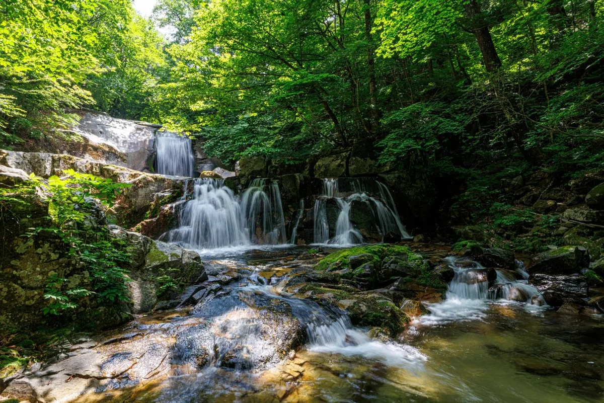
A hike up Mt. Jaeyak has a lovely, natural progression, starting with dense forest paths and gradually transitioning into ridge trails that open up the horizon. No matter which way you approach—whether from the Pyochungsa or Ireumgol side—the initial climb is mostly spent on shaded forest paths following the valleys. But as you gain altitude and the canopy thins, the sweeping vistas of the Yeongnam Alps begin to unfold in every direction. With seven different lookout points confirmed on the maps, you’re bound to encounter some incredible views once you hit the ridge. In autumn, the silver grass around Sajapyeong near the summit is absolutely spectacular, drawing crowds of hikers. In summer, it’s all about that refreshing coolness you get from the valleys on the Ireumgol course. And then there’s winter, where certain ridge sections are exposed to heavy winds and ice—a much more intense experience compared to those gentle forest paths at the start.
Main Routes (by Trailhead)
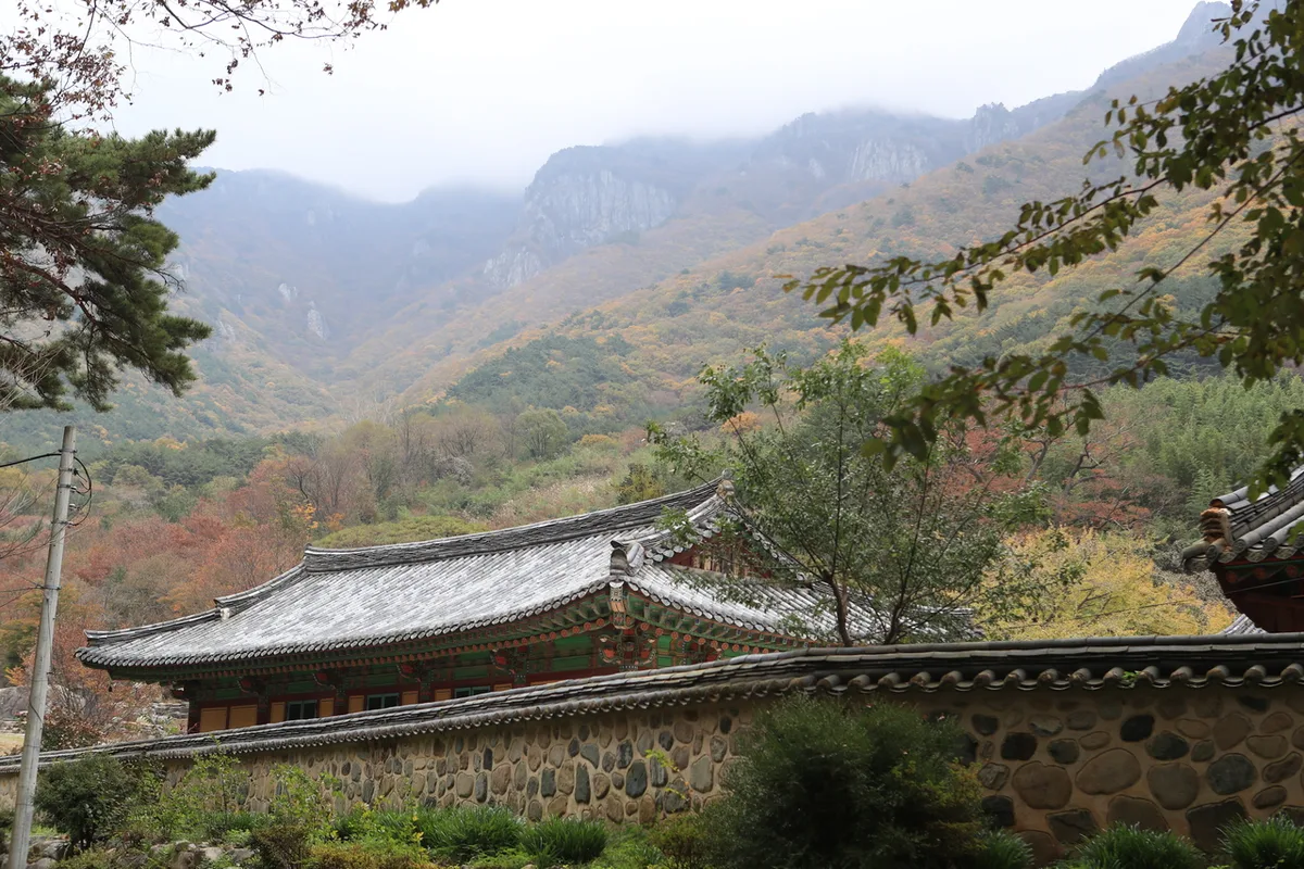 Photo: Korea Tourism Organization Photo Gallery (Danjang-myeon, Miryang-si, Gyeongsangnam-do) · KOGL
| Route (Trailhead → Summit) | Distance | Elevation Gain | Est. Time (One Way) | Difficulty | Popularity |
|---|---|---|---|---|---|
| Junction 1 → Saja Peak (Jaeyaksan) | 7.52km | ↕1008m | ~3h 34m | ★★★★★ | ★★★★☆ |
| Waypoint 1 → Summit (13.29km) | 13.29km | ↕1017m | ~5h 1m | ★★★★★ | ★★☆☆☆ |
| Junction 1 → Summit | 6.57km | ↕653m | ~2h 44m | ★★★★☆ | ★★★★☆ |
| Eoreumgol Terminal (Trailhead) → Summit | 7.63km | ↕845m | ~3h 19m | ★★★★★ | ★★★★★ |
| Lookout Point → Summit | 6.96km | ↕869m | ~3h 11m | ★★★★★ | ★★★☆☆ |
| First Saddle after Ascent → Summit | 7.88km | ↕777m | ~3h 16m | ★★★★★ | ★★★☆☆ |
| Waypoint 1 → Summit (5.17km) | 5.17km | ↕763m | ~2h 34m | ★★★★☆ | ★★☆☆☆ |
| Waypoint 1 → Summit (10.86km) | 10.86km | ↕334m | ~3h 16m | ★★★★☆ | ★★☆☆☆ |
※ Source: Korea Mountain & Trekking Support Center 100 Famous Mountains GPX (Distance, Elevation, Time, Difficulty) · Popularity is for reference only.
Course 1 — Junction 1 → Saja-bong Peak, Jaeaksan
Via: Junction 1 → Junction 2 → Junction 3 → Hange-am Hermitage / Geumgang Falls → Junction 5 → Jomang Rock → Saja-bong Peak, Jaeaksan → Junction 8 → Junction 9 → Junction 10 → Junction 15
Getting There: You’ll be starting from the Pyochungsa Temple side. Most people find it easiest to take a bus from downtown Miryang, but if you’re driving, there is also parking available near the temple grounds.
Features & Recommendations: This route takes you through refreshing forest paths and valley trails near Hange-am Hermitage and Geumgang Falls before climbing toward the summit via Jomang Rock. It’s a wonderful way to experience both the cool, shaded charm of the valley and those wide-open views at the peak. It is definitely a top recommendation for hikers aiming to reach Saja-bong, the mountain’s highest point.
Course 2 — Waypoint 1 to Summit (Long Distance)
Route: Waypoint 1 → Waypoint 2 → Maebawi Village Trail → Waypoints 4–7 → Waypoints 9 & 10 → via Pilbong → Waypoints 12 & 8 → Waypoints 13–15
Getting There: This trailhead leads toward Maebawi Village. Since it’s a more remote village entrance, I’d definitely recommend driving your own car or taking a taxi rather than trying to use public transportation.
Notes & Recommendations: This is the longest of all the routes. Because it winds through various forks along the Maebawi Village trail, it’s really geared toward experienced hikers looking for a proper long-distance ridge trek. It’s the perfect choice if you have plenty of stamina and enough time to spare.
Course 3 — Junction 1 to the Summit (Ridge Views)
Route: Junctions 1–5 → Junctions 16–20 → Junctions 22 & 23 → Viewpoint → Junction 28
Access: This trail starts from the trailhead near Pyochungsa Temple. Since it shares its initial stretch with Course 1, you’ll find that the bus and parking situation is pretty much the same.
Features & Recommendations: With a net elevation gain of 653m, the climb is relatively gentle. The real highlight is how the scenery opens up beautifully once you pass the midpoint viewpoint. Since the elevation gain isn’t too intense for the distance covered, it’s a perfect choice for hikers who want to soak in the views without being completely wiped out by the climb.
Course 4 — Trailhead: Ice Valley Terminus → Summit
Via: Ice Valley Parking Lot 1 → Ice Valley Management Office → Ice Valley Parking Lot 2 → Ice Valley Restrooms → Ice Valley Snack Bar → Ice Valley Parking Lot 3 → Sumin-ga → Ice Valley Terminus → Terminal Convenience Store → Bus Timetable → Fork 12 → Guyeon Village Shelter → Apgujeong Rainbow Pool → Hobakso Waterfall Signboard → Trailhead
Access: This route starts at the terminus of the Miryang Ice Valley city bus line. Since the bus route connects directly to this end point, it’s arguably one of the easiest routes to access via public transit. If you’re driving, it’s just as easy, with parking lots 1 through 3 conveniently laid out in sequence.
Features & Recommendations: This is easily the most amenity-rich route, as the management office, restrooms, snack shops, and parking lots are all clustered right at the start. With scenic spots like Hobakso Waterfall and the Guyeon Village Shelter along the way, I’d highly recommend this to anyone visiting Jaeyaksan Mountain for the first time or any hiker who—like me—really appreciates having convenient facilities close at hand.
Course 5 — Viewpoint → Summit
Via: Viewpoint → Junction 10 → Jinbulam Viewpoint → Junction 24/25 → Jinbulam Temple → Junction 27/28
Access: This is the approach toward Jinbulam, where you’ll typically walk through the Pyochungsa temple grounds before hitting the actual mountain trail.
Highlights & Who It’s For: Just like the name suggests, this course is all about those scenic vistas, with several great lookout points along the way. Since you also get to explore the historic Jinbulam Temple, it’s a perfect choice for anyone looking to pair a bit of cultural sightseeing with their hike.
Course 6 — First Uphill Pass to the Summit
Route: First Uphill Pass → Junctions 10 & 16 → Wetland Protection Area → Lookout Point → Sijapyeong-gil Shelter → Junctions 35, 36, 40, 50, 52, 57 → Junctions 103 & 106
Access: This is the entry point for those heading toward Sijapyeong. Since it cuts through a wetland protection area, most hikers typically approach from either Pyochungsa Temple or Sannae-myeon.
Features & Recommendations: This is the only course that takes you directly through the wetland protection area, offering a front-row seat to the silver grass prairies of the Sijapyeong highland. It’s a perfect pick for hikers looking to soak in those stunning autumn silver grass views.
Difficulty, Terrain & Safety Tips
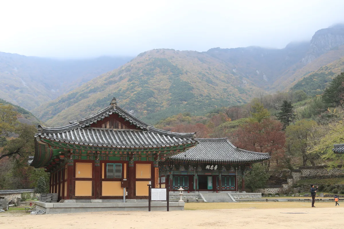 Photo: Korea Tourism Organization Photo Gallery (Danjang-myeon, Miryang-si, Gyeongsangnam-do) · Gongu Nuri
The registered trail area is divided into four sections based on administrative districts.
| Section (Administrative District) | Total Length | Difficulty | Terrain |
|---|---|---|---|
| [Unnamed] | 31.89km | Easy | - |
| Gucheon-ri Section | 19.62km | Easy | - |
| Icheon-ri Section | 13.91km | Easy/Moderate | - |
| Samyang-ri Section | 1.87km | Easy | - |
※ Please note that these figures represent the total trail length within each administrative district, not the one-way distance of a specific route.
While specific details on surface composition aren’t available, you should prepare for a real climb given the elevation gain (ranging from 653m to 1017m) and a difficulty rating of roughly 4 to 5 stars. The terrain gets much steeper as you approach the summit, so watch your footing carefully around the rocky ridges and scenic overlooks. Also, a quick heads-up: one high-risk area has been identified in the data, so please slow down and prioritize safety when you reach that section. There are seven scenic viewpoints where the landscape opens up along the ridge, and eight different entry/exit points. One thing to keep in mind: public data shows no official shelters on the route. Since there is nowhere to duck into if the weather turns, I’d recommend planning your schedule with plenty of wiggle room. Finally, stay mindful of icy ridges in the winter and sudden rises in creek levels during summer rainstorms.
Distance and Estimated Time
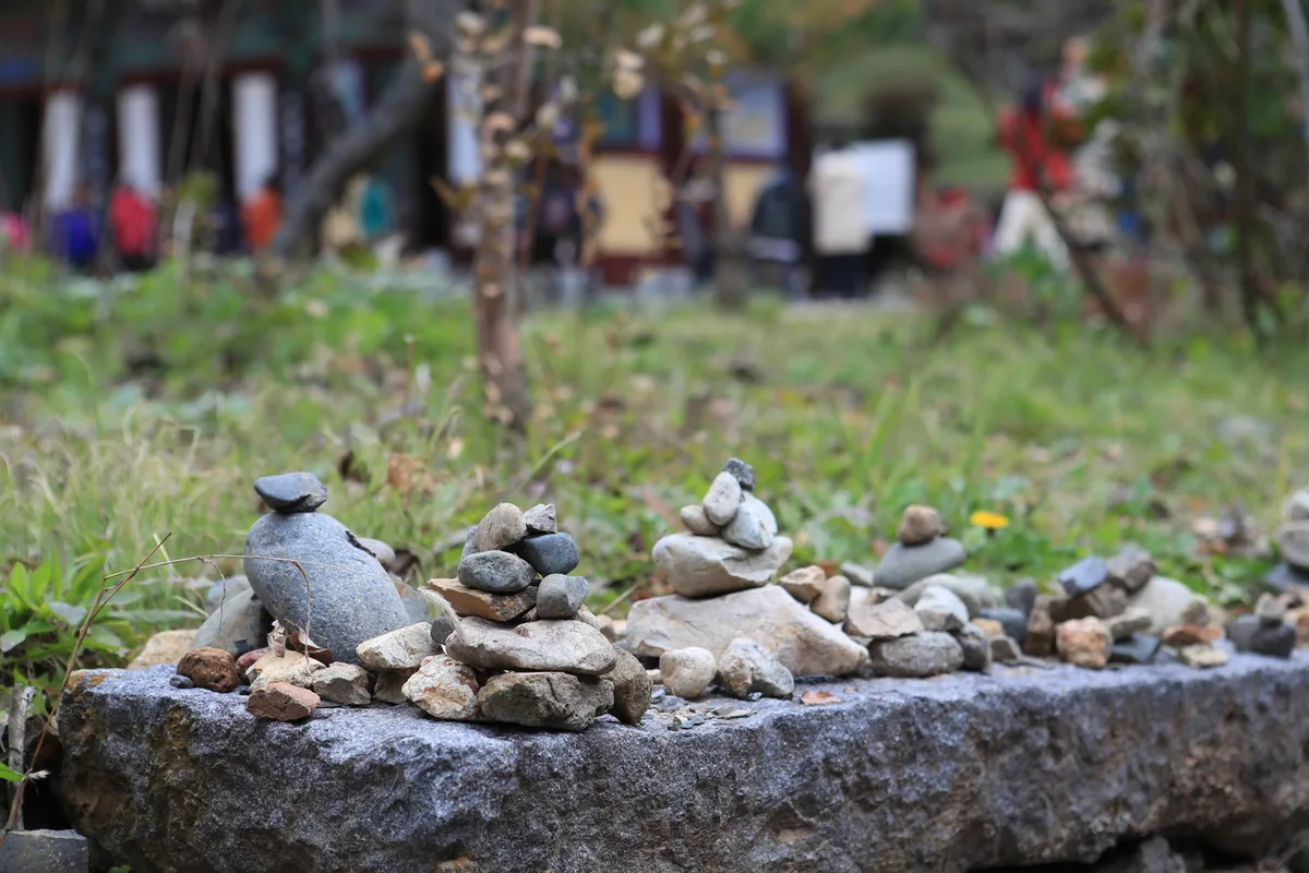 Photo: Korea Tourism Organization Photo Gallery (Danjang-myeon, Miryang-si, Gyeongsangnam-do) · Public Nuri
The one-way distances for the various routes to the summit range from 5.17km to 13.29km, so there’s quite a bit of variation between courses. Because of this, estimated one-way travel times also vary widely, from about 2 hours 34 minutes to 5 hours 1 minute. Most routes can be completed in roughly 5 to 10 hours round-trip, making them well within the scope of a standard day hike.
Just one thing to keep in mind: if you’re planning an epic traverse of the entire 67.29km trail network, the statistics show a cumulative total of 1,265 minutes (about 21 hours) for climbs and 878 minutes (about 14.6 hours) for descents. To be absolutely clear, these aren’t single-route times—they represent the total time for the entire network combined. Based on these cumulative figures, the average uphill pace is roughly 19 minutes per kilometer, which serves as a handy benchmark when estimating how long an individual course might take. Of course, routes with more significant elevation changes or longer distances will likely take a bit longer than this average. If it’s your first time out, I’d recommend adding some extra buffer time to the estimated durations in the table when you’re planning your trek.
Getting There (Public Transit & Parking)
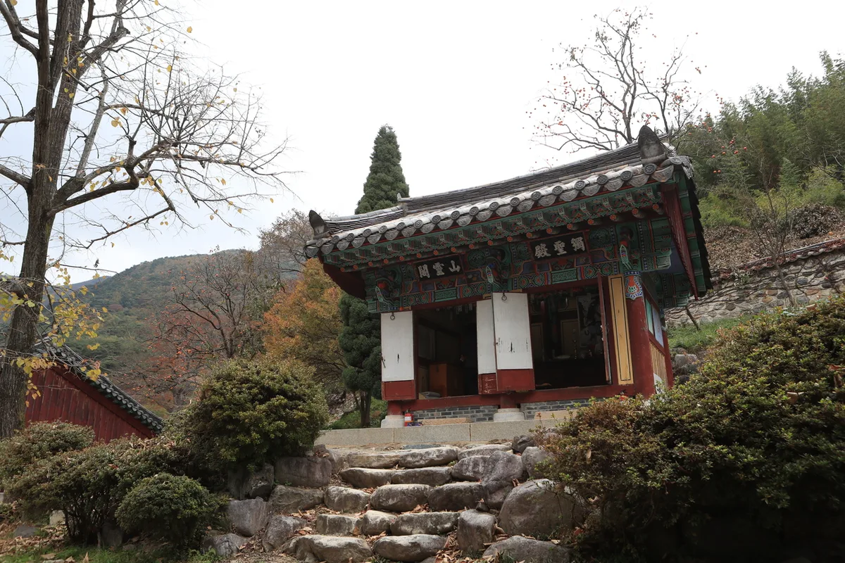 Photo: Korea Tourism Organization Photo Gallery (Danjang-myeon, Miryang-si, Gyeongsangnam-do) · Gonggong Nuri
Since Mt. Jaeyak is tucked away in Miryang, Gyeongsangnam-do, you won’t be able to reach it via subway. Typically, visitors take a local or intercity bus from downtown Miryang toward either Pyochungsa or Eoreumgol. If you’re traveling from nearby major cities like Busan or Daegu, the most common route is to take a KTX or Mugunghwa train to Miryang Station and then transfer to a bus bound for Pyochungsa or Eoreumgol.
For those heading to the trailheads, you can use stops such as Juam Village Entrance, Pyochungsa Sangga, or Sijeon; from there, it’s just a short walk to the start of the various hiking courses. If you’re driving, there is parking available near Pyochungsa and at the Eoreumgol 1st–3rd lots. However, since official data only identifies one primary parking area, please keep in mind that it can get quite crowded during peak seasons or on weekends. To stay on the right track, I’d highly recommend checking KakaoMap or Naver Map for the most accurate routes and bus schedules—just search for “Pyochungsa” or “Miryang Eoreumgol.”
Season, Weather, & Gear
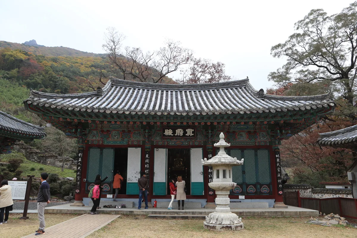 Photo: Korea Tourism Organization Photo Gallery (Danjang-myeon, Miryang-si, Gyeongsangnam-do) · Gonggong Nuri
Jaeaksan is best enjoyed in the spring or fall. In autumn, specifically, crowds flock to the mountain to see the stunning silver grass at Saja-pyeong near the summit. Summer offers a refreshing escape through the full mountain valleys, but you’ll need to be prepared for the heat, humidity, and sudden downpours. In winter, watch out for strong winds and icy patches along the ridges; you’ll definitely need crampons and windproof gear.
Regardless of the season, I’d recommend sticking to the basics: sturdy hiking boots and plenty of water. There aren’t many mountain springs or water stations, so it’s best to bring at least 1 to 2 liters. A raincoat (or windbreaker) and trekking poles are also essential staples for your gear list.
Tips for International Travelers
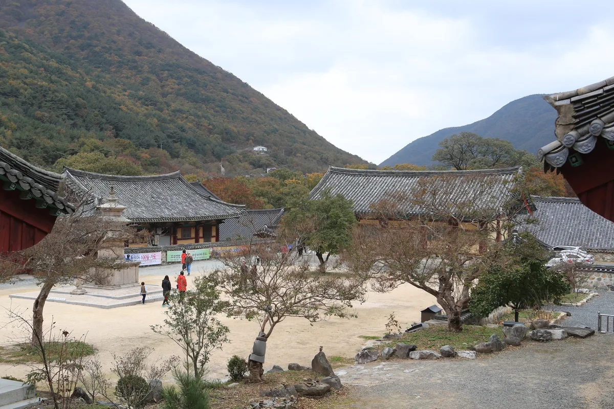 Photo: Korea Tourism Organization Photo Gallery (Danjang-myeon, Miryang-si, Gyeongsangnam-do) · KOGL
Jaeyaksan is written as Jaeyaksan in Romanized form, and the main peak, Sajabong, can be referred to as Jaeyaksan Sajabong. You’ll often see nearby spots like Pyochungsa Temple and Miryang Ice Valley (Eoreumgol) mentioned in guides. While there are no permits or entrance fees required to hike the mountain itself, keep in mind that Pyochungsa Temple might charge an admission fee—it’s worth a quick check before you visit.
As for facilities, you can find restrooms near the trailheads (like at the Ice Valley course), but once you’re actually out on the mountain, they are pretty much non-existent. There aren’t many water stations either, so definitely pack plenty of water before you head out.
A quick tip on navigation: Google Maps doesn’t always reflect local hiking trails accurately, so I’d highly recommend using KakaoMap or Naver Map instead. For your safety, make sure to allow plenty of time for the descent and avoid rushing through any sections marked as hazardous. Also, since cell service can be a bit spotty in certain areas, it’s a smart move to download your route maps for offline use before you set off.
Other mountains nearby
- Silver grass plains and rocky ridges, Sinbulsan in Ulsan — approx. 6km linear distance
- Walking the Geumjeongsanseong Fortress walls, Busan’s Godangbong Ridge — approx. 32km linear distance
- Granite ridges steeped in Buddhist history, Palgongsan in Daegu — approx. 56km linear distance
📍 Ice Valley and the Sajapyeong Silver Grass Plateau | Mt. Jaeyaksan, MiryangLocation
Contact: bumseok.view [at] gmail [dot] com

Comments