Silver Grass Plains and Rocky Views: Sinbulsan, Ulsan
Hiking · Published 7/18/2026 ·
등산로 트랙·시설 (공공데이터: 전국등산로 공간정보) · 🚩시종점 💧음수대 👁️조망점 🏠대피소 🅿️주차장 ⚠️위험 · 지도 © OpenStreetMap ⤓ GPX 다운로드
At a Glance
| Metric | Rating |
|---|---|
| Accessibility (Transit & Parking) | ★★☆☆☆ |
| Trail Difficulty | ★★★☆☆ |
| Water/Springs on the mountain | ★☆☆☆☆ |
| Overnight Stay | ★★★☆☆ (Required for full traverse) |
| Seasonal Difficulty – Spring | ★★★☆☆ |
| Seasonal Difficulty – Summer | ★★★★☆ |
| Seasonal Difficulty – Autumn | ★★☆☆☆ |
| Seasonal Difficulty – Winter | ★★★★★ |
※ Source: Korea Forest Service trail data. Accessibility and seasonal ratings are approximate.
Overview
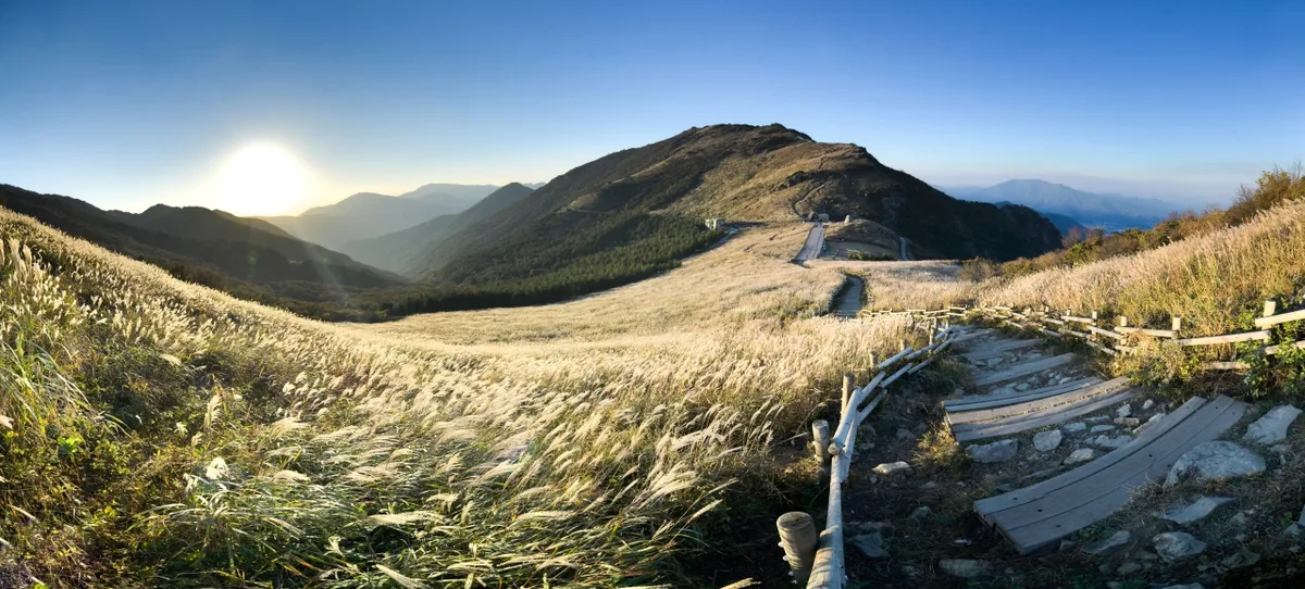 Photo: Korea Tourism Organization Photo Gallery (Sangbuk-myeon, Ulju-gun, Ulsan) · Public Nuri
Sinbulsan sits right on the border between Ulju-gun in Ulsan and Yangsan in Gyeongsangnam-do. It’s one of the iconic peaks that forms the “Yeongnam Alps” ridge, standing alongside Gajisan, Ganwolsan, and Yeongchuksan. While the signboards list the summit at roughly 1159m, my GPS data has shown it anywhere from 1170 to 1220m depending on the route—likely just a result of where the summit markers are placed compared to nearby peaks like Ganwolsan (1086m) or Baenaebong (993m).
The mountain itself is a beautiful mix of rolling ridges, vast silver grass plains, and rugged rocky outcrops, making it a nice hybrid between a “soft” mountain and a “rocky” one. I’d rate the difficulty as moderate, but keep in mind that some routes can take up to six hours one way, so pacing yourself is essential. Most of the summit routes are easily manageable as a day hike, but if you’re planning to tackle the entire trail network (a total of 73.11km), you’ll definitely need to plan for at least one overnight stay.
Terrain and Topography
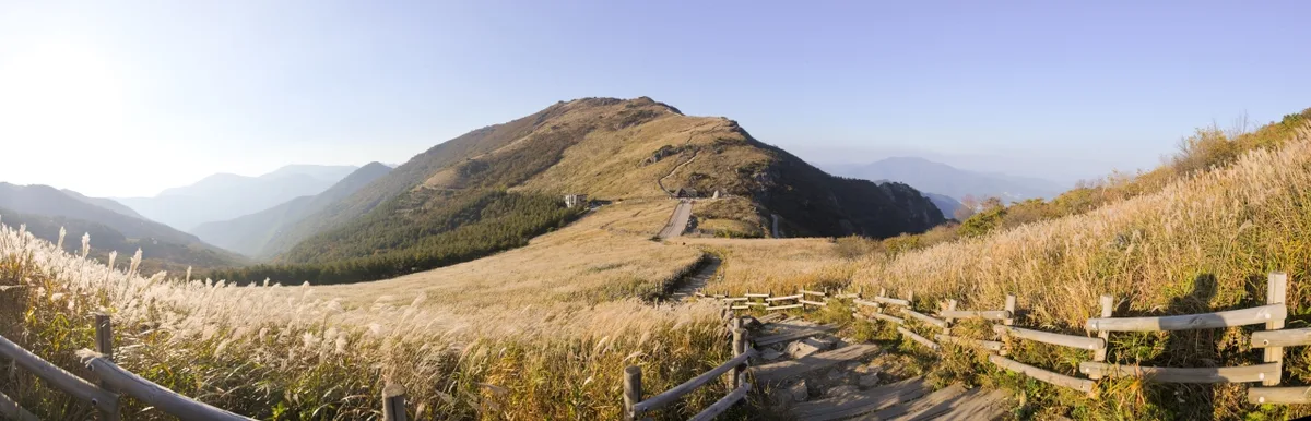 Photo: Korea Tourism Organization Photo Gallery (Sangbuk-myeon, Ulju-gun, Ulsan) · Public Nuri
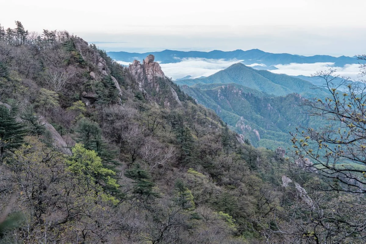
Sinbulsan is a mountain of contrasts, blending gentle, soil-rich ridges with ruggedly exposed rock formations near its peaks. The ridge stretching west from the summit is widely known for its vast, rolling grasslands—the famous “Sinbulsan Silver Grass Plains”—which make for a breathtaking sight in the autumn. While you’ll find rocky spots near the summit that offer sweeping views, the valleys and lower slopes remain lush and heavily forested, capturing that classic mountain feel. The main peaks listed in the spatial data include Ganwolsan (1086m), Baenaebong (993m), and the Sinbulsan summit itself (which falls in the 1170–1220m range). Together, these peaks form the spine of the iconic Sinbulsan–Ganwolsan traverse.
The trails within the area are officially categorized into six sections based on administrative districts. Just a quick heads-up: these aren’t unique names for specific paths, but rather divisions based on the administrative areas the trails pass through. It’s easy to mistake them for individual hiking routes, so keep that in mind. The total lengths per registered section break down as follows:
| Section (By Administrative District) | Distance | Difficulty | Surface |
|---|---|---|---|
| (No name) | 34.44km | Easy | - |
| Deongeok Alps-ri Section | 14.31km | Easy/Moderate | - |
| Gacheon-ri Section | 11.93km | Easy/Moderate | - |
| Icheon-ri Section | 5.31km | Easy | - |
| Banggi-ri Section | 5.05km | Easy | - |
| Seon-ri Section | 2.07km | Easy | - |
※ Please note that these figures represent the cumulative length of trails within each administrative district as registered by the Korea Forest Service, not the lengths of individual hiking courses. The total length of all trails in the area is 73.11km.
The Vibe of the Hike
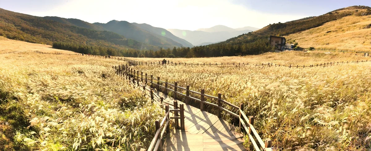 Photo: Korea Tourism Organization Photo Gallery (Sangbuk-myeon, Ulju-gun, Ulsan) · KOG
A hike up Sinbulsan is defined by a wonderful sense of transition, moving from dense forest trails to wide-open ridges. The lower sections mostly follow valley paths, which is great for finding shade and listening to the sound of running water during the summer. As you climb higher, the landscape shifts between rugged rock formations and vast fields of silver grass, offering breathtaking views in every direction. The ridge near the summit is particularly stunning, where the entire Yeongnam Alps mountain range unfolds like a panorama. It can be quite a workout, but the payoff at the top is massive. The mountain changes beautifully with the seasons—lush greenery and azaleas in the spring, and golden silver grass in the fall. Just a heads-up for beginners: winter can bring biting winds and icy patches along the ridges, which can be a bit of a challenge for those just starting out.
Main Routes (By Trailhead)
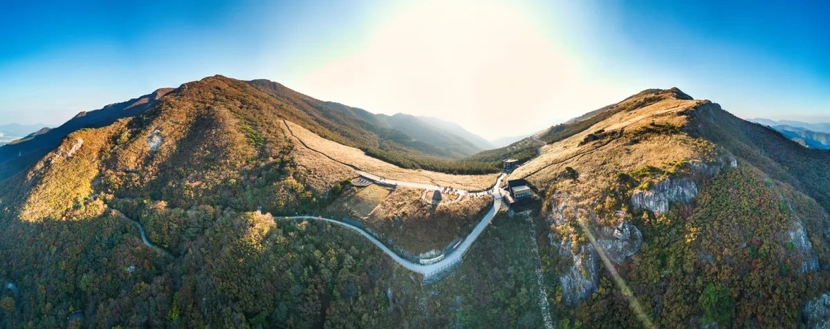 사진: 한국관광공사 관광사진 갤러리 (울산광역시 울주군 상북면) · 공공누리
Based on GPX data from the Korea Hiking & Trekking Support Center’s “100 Famous Mountains,” here are the primary routes to the summit. Just a heads-up: distance, net elevation gain, estimated time, and difficulty levels are calculated from actual measurements, while popularity ratings are just a rough guide based on ease of access via public transit and how often the trails are used.
| Route (Trailhead → Summit) | Distance | Net Elevation Gain | Estimated Time (One-way) | Difficulty | Popularity |
|---|---|---|---|---|---|
| Restroom → Summit | 16.99km | ↕1041m | Approx. 5h 59m | ★★★★★ | ★★★☆☆ |
| Trailhead → Summit | 12.27km | ↕992m | Approx. 4h 43m | ★★★★★ | ★★★★☆ |
| Entrance → Seokjeongbong Summit | 12.61km | ↕857m | Approx. 4h 35m | ★★★★★ | ★★★★★ |
| Trailhead → Gojangsan Summit | 5.54km | ↕899m | Approx. 2h 53m | ★★★★★ | ★★★★☆ |
| Rest Area → Summit | 2.87km | ↕777m | Approx. 2h 1m | ★★★★☆ | ★★☆☆☆ |
| Anjeong Gujokmok → Summit | 7.88km | ↕901m | Approx. 3h 28m | ★★★★★ | ★★☆☆☆ |
| Bus Stop → Odusan Summit | 17.01km | ↕1068m | Approx. 6h 2m | ★★★★★ | ★★☆☆☆ |
| Junction 34 → Summit | 3.07km | ↕881m | Approx. 2h 14m | ★★★★☆ | ★★☆☆☆ |
※ Source: Korea Hiking & Trekking Support Center 100 Famous Mountains GPX (Distance, Elevation, Time, Difficulty) · Popularity is an estimate
Course 1 — Restroom → Summit
Waypoints: Restroom → Sightseeing Spot → Spring → Rest Area → Information Map → Parking Lot → Scenic View → Junction 13 → Junction 17 → Info Center → Lookout → Junction 20 → Junction 21 → Junction 23 → Junction 24
Getting There: Since the restroom, parking lot, and info center are all clustered at the start, it looks like a fairly well-maintained trailhead. If you’re taking public transit, the standard way is to walk from the nearest bus stop and follow the trail signs. I’d suggest double-checking your map app for exact bus stop names and schedules before you head out.
The Lowdown: This is the longest leg of the entire course, stretching about 17km. On the bright side, there are plenty of waypoints like springs and rest areas along the route, so it’s easy to find a spot to catch your breath if the hike starts taking its toll. This route is best suited for those who are physically fit and prepared to dedicate a full day to the trail. If you’re planning a round trip in a single day, I’d highly recommend an early morning start.
Course 2 — Trailhead → Summit
Waypoints: Sinbulsan Tunnel (nearing completion) → Sinbulsa Temple → Danger Zone → Junction 6 → Valley → Junction 9 → Scenic View → Safety Board → Lookout Point → Junction 27 → Bokeunsa Temple → Trailhead
Getting to the Trailhead: Since this route passes through temples like Sinbulsa and Bokeunsa, it’s likely an entrance from the Baenaegol side. It is generally known to be a relatively convenient route for those traveling by car. If you’re using public transport, the common approach is to take a bus through a nearby village and then walk in on foot.
Features & Recommendations: This course offers great visual variety, shifting between mountain valleys, temples, and scenic vistas. Just a heads-up: since “Danger” is actually listed on the waymarkers, you’ll need to be extra cautious during rainy weather or icy conditions. It’s a perfect choice for anyone looking to soak up both temple culture and the tranquil atmosphere of a mountain valley.
Course 3 — Entrance → Seokjeongbong Peak
Waypoints: Paid Parking Lot → Scenic Views → Restroom → Tourist Attractions → Cafe → Restaurant → Bus Stop → Entrance → Rest Area → Junction 10 → Lookout Point → Seokjeongbong Peak
The Approach: Since the parking lot, cafes, restaurants, and bus stops are all clustered together, this appears to be the entrance near the Deung-eok Alps hot spring complex. Out of all the various Sinbulsan courses, this one is definitely among the easiest to reach, whether you’re driving or taking public transit.
Characteristics & Recommendations: The route starts with well-developed amenities before transitioning into the actual mountain trails, making it an easy option for families or travelers who just want to enjoy a light stroll. Just a heads-up: once you pass the lookout point, it’s a steady uphill climb to Seokjeongbong Peak. You’ll definitely want to pace yourself if you’re planning on making it all the way to the summit!
Course 4 — Trailhead → Gojangsan Summit
Waypoints: Parking Lot → Cafe → Rest Area → Scenic Spot → Danger Zone → Lookout → Helipad → Junction 40 → Junction 41 → Prohibited Area → Information Board → Gojangsan Summit → Trailhead → Fishing Spot
Getting There: Since the parking lot and a cafe are right next to each other, it looks like a fairly easy trailhead to reach by car. Given the mention of a fishing spot nearby, I’m guessing this is an access route to a village near a reservoir or a mountain stream.
Characteristics & Who It’s For: This is quite a steep one for its distance, covering 5.5km one way with an elevation gain of 899m. You’ll get some great views while passing through the helipad and lookout sections, but keep an eye out for “Prohibited” signs—you’ll definitely want to check on-site to see if any parts of the trail are restricted.
Course 5 — Shelter → Summit
Waypoints: Shelter → Lookout Point → Scenic Area → Junction 19
Access: Since the signage is pretty basic, this seems to be a short connector section that climbs straight up from an existing trail toward the summit. There isn’t any specific information on nearby transit stops, so you’ll likely want to pair this with another part of the route.
Features & Recommendations: This stretch is 2.87km one way with a 777m elevation gain. While it’s the shortest leg of the entire trek, it is definitely on the steep side. It’s perfect if you’re looking to snag those summit views in a hurry, but be careful—the steepness can really punish your knees on the way down, and it can get quite slippery.
Route 6 — Safety Post → Summit
Waypoints: Safety Post → Junction 21 → Hazard → Safety Log & First Aid Kit → Scenic View → Junction 25 → Junction 27 → Lookout Point → Safety Log → Rugged Path → Scenic View
Access: Since the entry point is listed as a “safety facility” (Safety Post), it doesn’t appear to have an official name. To stay safe, I’d recommend verifying the actual entry point using a local trail map or a navigation app before you head out.
Features & Recommendations: With signs for “Hazard” and “Rough Terrain” appearing frequently, you can expect a rugged trail with plenty of tricky spots. This isn’t exactly a casual stroll; it’s much better suited for experienced hikers. I would also strongly advise avoiding this route right after heavy rain or during icy conditions.
Difficulty, Terrain & Safety
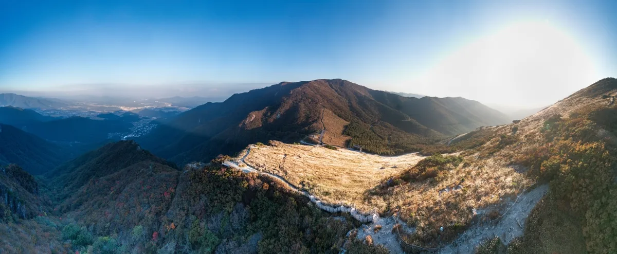 Photo: Korea Tourism Organization Photo Gallery (Sangbuk-myeon, Ulju-gun, Ulsan) · Public Nuri
According to the Korea Forest Service’s trail information, the maximum difficulty for hiking trails within Sinbulsan is rated as ‘Moderate,’ with no specific terrain types registered. However, looking at the GPX data from the top 100 mountains, many of the routes to the summit involve an elevation gain of over 800m and can take anywhere from 3 to 6 hours one way. You should keep in mind that the actual physical challenge might be much tougher than that official ‘Moderate’ label suggests.
On paper, the facility statistics show zero registered lookout points, water fountains, shelters, or hazard zones. That said, GPX waypoints frequently show ‘viewpoint’ and ‘danger’ markers in sections 2, 3, 4, and 6. This suggests that while these aren’t in the official database, there are likely physical signs or landmarks on the trail. Be especially careful on the ridges and rocky sections, particularly in rain, ice, or high winds. If you encounter a ‘rugged trail’ or ‘danger’ sign, I’d suggest not pushing your luck and playing it safe.
Distance and Duration
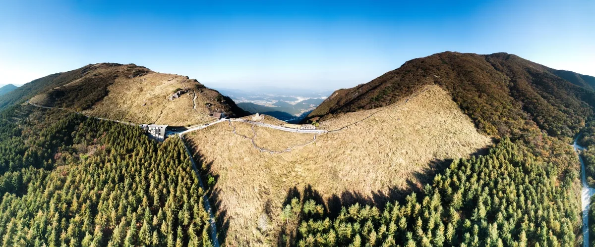 Photo: Korea Tourism Organization Photo Gallery (Sangbuk-myeon, Ulju-gun, Ulsan) · Gonggong Nuri
The total cumulative time for all the trails in this area is 1,389 minutes for climbing and 962 minutes for descending. Now, before you get intimidated—this isn’t the duration of a single hike; it’s simply the sum of every registered section within the area. If you look at it in terms of pace, it averages out to about 19 minutes per kilometer on the ascent, which gives you a pretty clear idea that Sinbulsan isn’t exactly a series of gentle strolls.
For the actual time you’ll spend on specific routes, it’s best to refer to the GPX-based table I provided earlier for more accurate figures. As a general guide, the route from the entrance to Seokjeongbong Peak takes about 4 hours and 35 minutes one way, while the shortest stretch from the shelter to the summit takes around 2 hours. While most routes can easily be handled as a day trip, keep in mind that the total length of all trails combined is 73.11km. If you’re planning a full traverse of the entire area, I’d strongly suggest planning for at least one overnight stay to be safe.
Getting There (Public Transit & Parking)
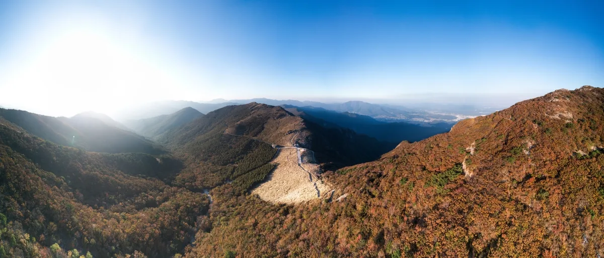 Photo: Korea Tourism Organization Photo Gallery (Sangbuk-myeon, Ulju-gun, Ulsan) · Gongu Nuri
There are several bus stops around the Sinbulsan area, including Tongdosa Jeongmun, Sujeong Beopbok, Jangje-hoegwan, Baeknyeon Village, Taebong Village, and Jangje Village. If you’re approaching from the Yangsan direction, I’d recommend using the Tongdosa Jeongmun stop as your main landmark. Typically, if you’re coming from Ulsan or Yangsan, the best way is to take an intercity or local bus to one of these stops and then walk toward the trailhead. If you’re heading toward Course 3 (the Deongeok Alps Hot Springs area), it’s easiest to take a bus bound for the hot springs.
While official databases might show zero registered parking lots, keep in mind that’s just based on the Korea Forest Service’s trail information; in reality, there are paid parking lots operating near the hot springs and the temple (you’ll see ‘Paid Parking’ noted on the Course 3 signposts). For precise schedules and real-time routing, I highly suggest checking KakaoMap or Naver Map. They’re much more reliable for local transit and walking directions here in Korea.
Season, Weather & Gear
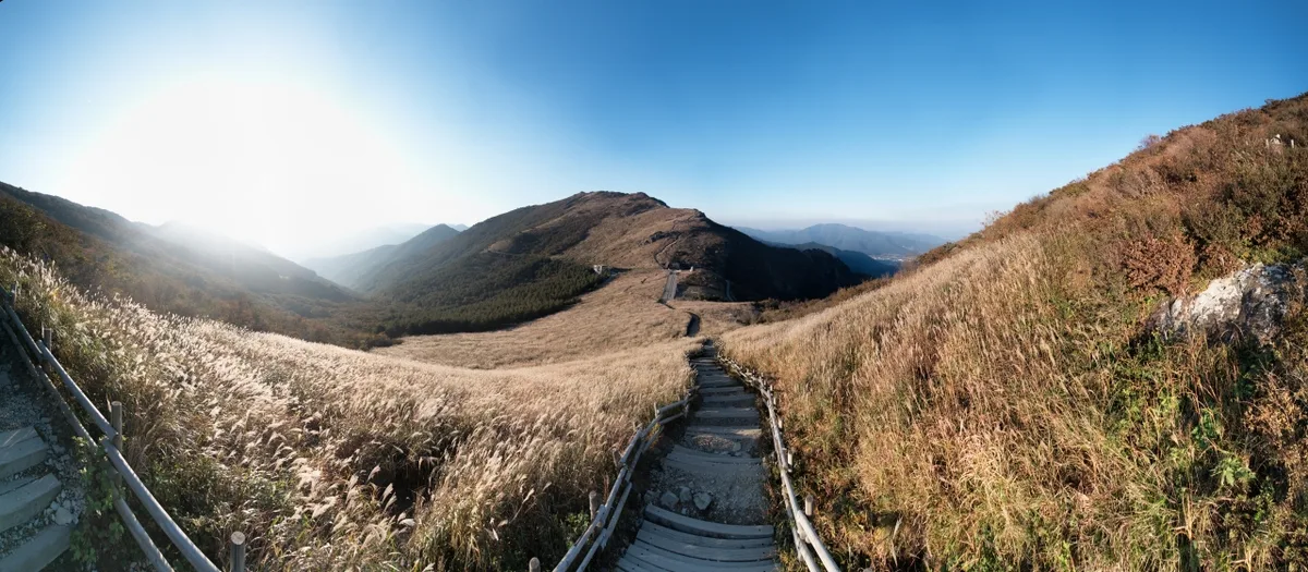 Photo: Korea Tourism Organization Photo Gallery (Sangbuk-myeon, Ulju-gun, Ulsan Metropolitan City) · Gongguri
Spring (April–May) and autumn (September–October) are the best times to hit the trail. You’ll get lovely fresh greenery and azaleas in the spring, while the silver grass along the ridges is a real highlight in the fall. If you’re heading out in the summer, be prepared for heat, humidity in the valleys, and sudden showers. Also, since there aren’t any confirmed water fountains along the route, make sure to pack plenty of drinking water.
Winter can be tricky with strong winds on the ridges and icy patches. I’d highly recommend bringing crampons, gaiters, and a windbreaker. Since some sections are marked as “rugged” or “dangerous,” I’d suggest that beginners avoid solo hikes during the winter months. For your basic kit, always make sure you have hiking boots, extra layers, a headlamp, emergency snacks, and a map app ready to go.
Tips for International Travelers
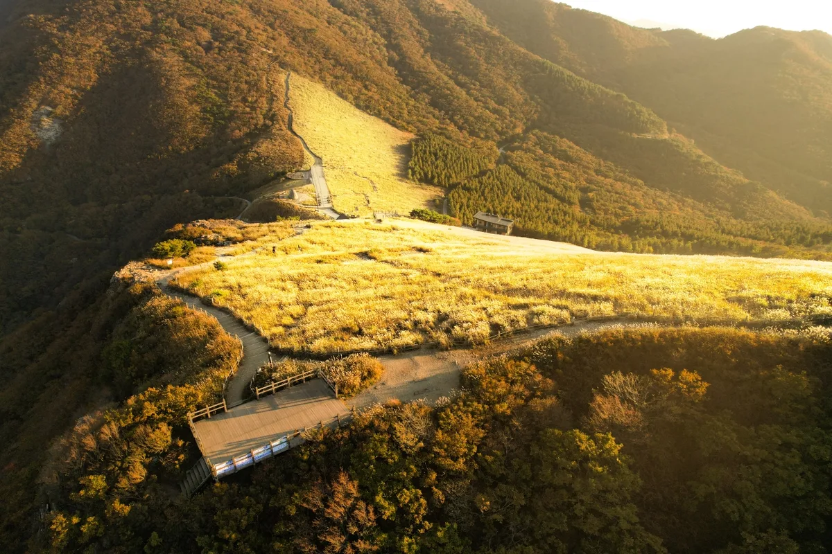 Photo: Korea Tourism Organization Photo Gallery (Sangbuk-myeon, Ulju-gun, Ulsan) · Gonggong Nuri
The mountain is spelled “Sinbulsan” in English. The summit is “Sinbulsan-jeongsang (Sinbulsan Peak),” and nearby peaks include “Ganwolsan” and “Baenaebong.” While no entry fees or permits are required to hike, please be mindful of temple etiquette if your route passes through temple grounds (such as Sinbulsa or Bokunsa).
You’ll find restrooms at some trailheads (specifically Courses 1 and 3), but there aren’t any at the summit, so I’d highly recommend using them before you start your ascent. Also, since there are no official water fountains, bringing plenty of your own water is essential.
One heads-up: Google Maps can be a bit hit-or-miss with hiking trails in Korea, so I’d suggest using KakaoMap or Naver Map for more accurate routing. Since signal can be spotty on certain ridge sections, it’s also a good idea to save your route for offline use and let someone know who you’re hiking with and when you expect to be back down.
Other nearby mountains
- Mudeungsan in Gwangju, with stone pillars lined up like a folding screen — roughly 186km as the crow flies
- Seoul’s Gwanaksan, with its serrated ridges and rocky peaks — roughly 280km as the crow flies
- Seoul’s Bukhansan, with granite ridges right on the doorstep of the city — roughly 297km as the crow flies
📍 Silver Grass Plains and Rocky Views: Sinbulsan, UlsanLocation
Contact: bumseok.view [at] gmail [dot] com
Related posts
-
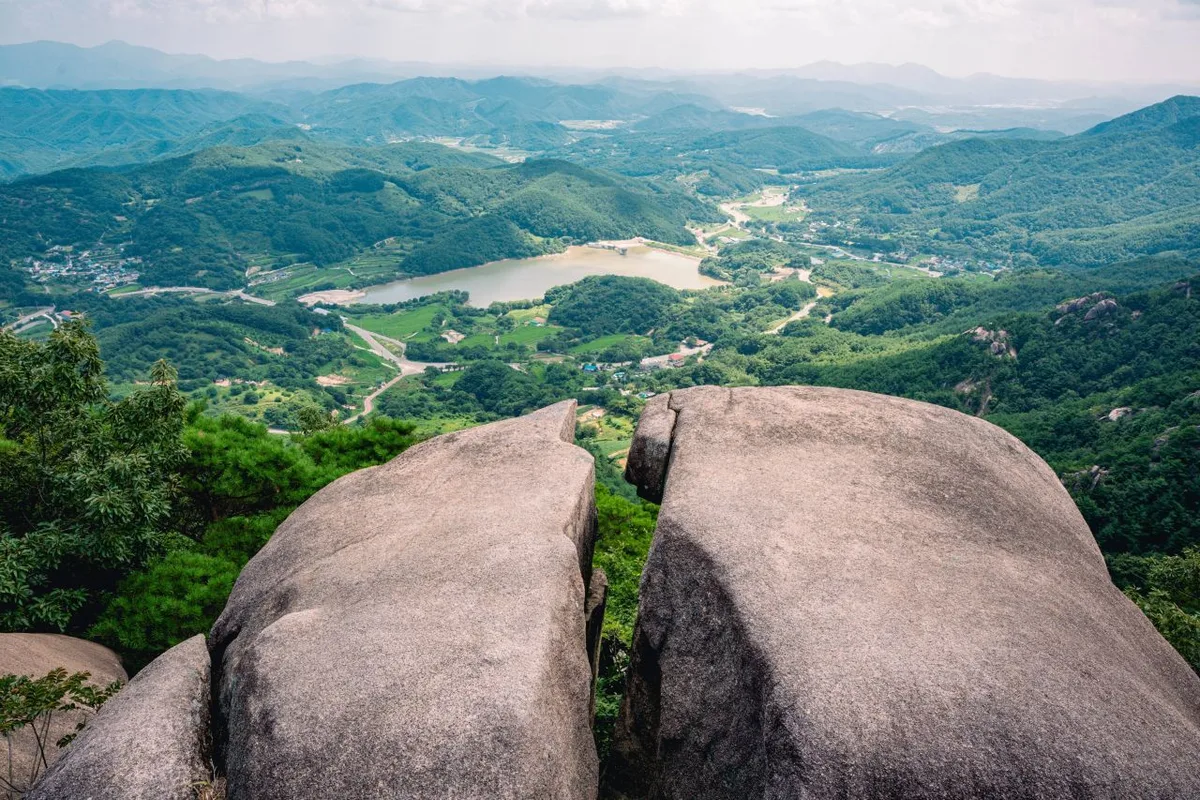
Ridgeline Meadows of Royal Azalea and Silver Grass: Hwangmaesan in Hapcheon and Sancheong
-
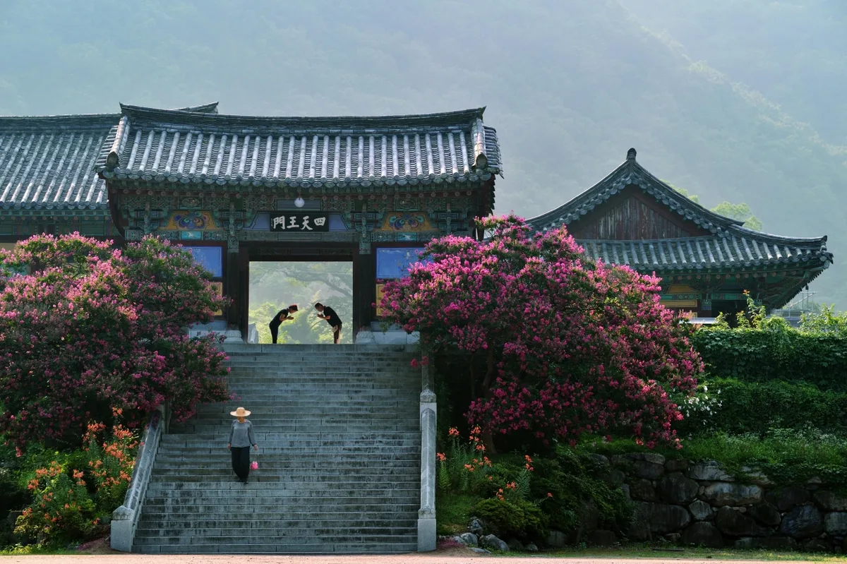
Ice Valley and the Sajapyeong Silver Grass Plateau | Mt. Jaeyaksan, Miryang
-
Silver Waves of Silvergrass Ringed by Hwawangsanseong Fortress: Hwawangsan in Changnyeong
-
Wild Meadows on the Gombaewol Ridge, a Primeval Forest in Jeombongsan, Gangwon
Comments