The Sawtooth Palbong Ridge and the Crags of Yeonjudae: Gwanaksan, Seoul
Hiking · Published 7/3/2026 ·
등산로 트랙·시설 (공공데이터: 전국등산로 공간정보) · 🚩시종점 💧음수대 👁️조망점 🏠대피소 🅿️주차장 ⚠️위험 · 지도 © OpenStreetMap ⤓ GPX 다운로드
At a Glance
| Metric | Rating |
|---|---|
| Accessibility (Transit/Parking) | ★★★★☆ |
| Trail Difficulty | ★★★☆☆ |
| Water/Springs on the trail | ★★★★☆ |
| Is an overnight stay needed? | ★★☆☆☆ (Easily a day trip) |
| Seasonal Difficulty — Spring | ★★☆☆☆ |
| Seasonal Difficulty — Summer | ★★★☆☆ |
| Seasonal Difficulty — Fall | ★★☆☆☆ |
| Seasonal Difficulty — Winter | ★★★★☆ |
※ Source: Korea Forest Service trail data · Accessibility and seasonal difficulty are estimates.
Overview
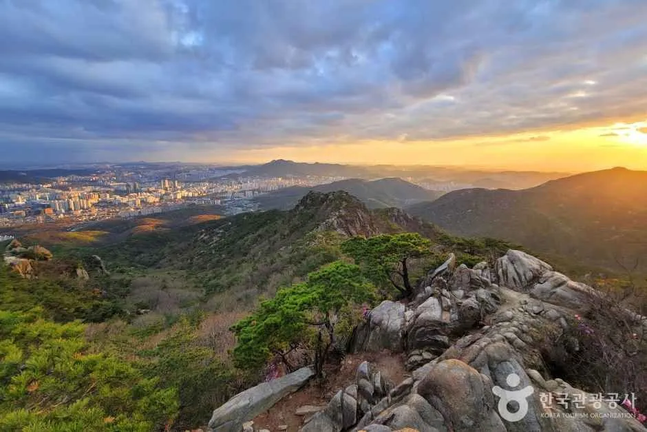 Image: AI-generated (not an actual photo of the location)
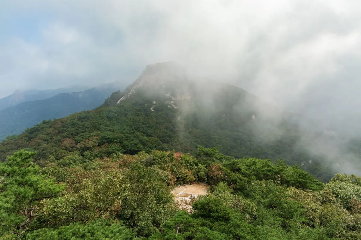
Gwanaksan is a rugged, rocky mountain standing at roughly 632m, spanning the districts of Gwanak and Geumcheon in Seoul as well as Gwacheon and Anyang in Gyeonggi Province. According to the course data, the highest point near the summit actually reaches 657m. At its peak, Yeonjudae, there is a tiny hermitage (Eungjinjeon) perched atop dramatic rock cliffs, offering one of the most spectacular summit views you’ll find near Seoul. The difficulty is generally rated as “moderate,” and the total length of all trails in the area spans 43.69km (though that is the combined total of various routes, not a single path). Thanks to excellent accessibility with subway stations leading almost directly to the trailheads, it’s a perfect spot for a day hike.
Terrain and Landscape
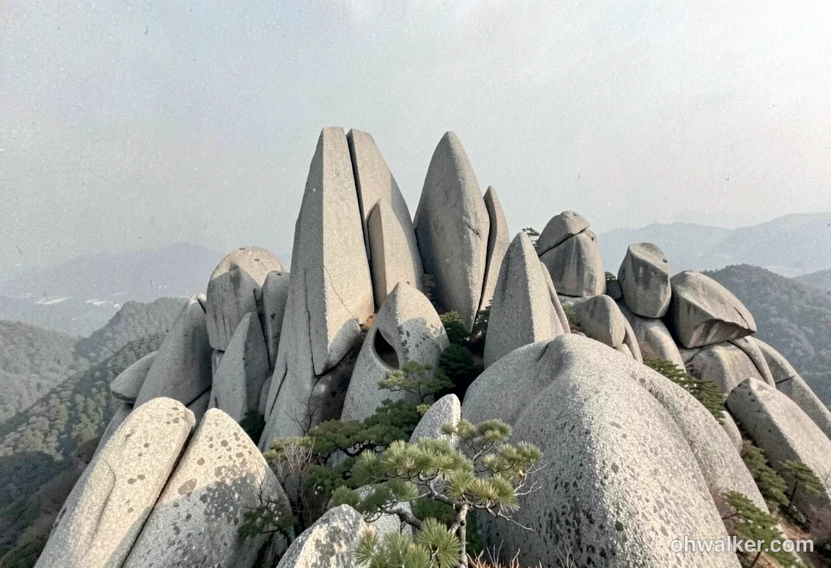 Image: AI-generated (not an actual photo of the location)
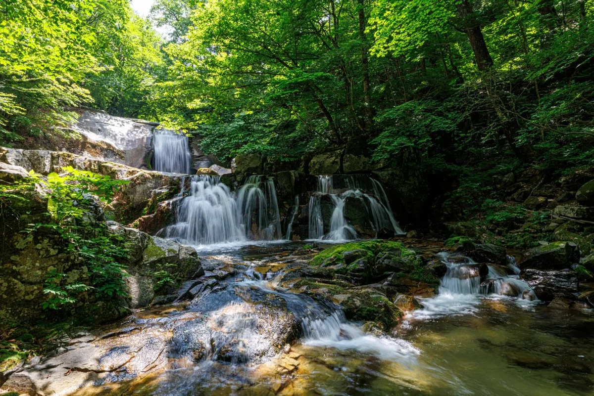
Gwanaksan is a textbook example of a granite mountain. Its ridges are characterized by granite peaks and steep rock slabs, with topographical data confirming that the terrain is predominantly solid rock. The main landmarks are the Yeonjudae summit and the neighboring peak housing the weather radar dome. To the west, you’ll find Palbong Ridge, where eight rocky peaks form a jagged, saw-like line, while the Hakbawi and Jaunam ridges stretch out to the northwest. It’s a landscape defined by its unique rock formations; public data lists scenic spots like Saebawi, Madangbawi, and Geobukbawi, while the trail markers themselves are lined with named rocks like Hama-bawi, Beoseot-bawi, Eomji-bawi, and Tokki-bawi. For those who enjoy trekking through valleys, the Munwon and Idan Falls areas toward Gwacheon and the valleys near Seoul National University are the most notable.
The Vibe of the Hike
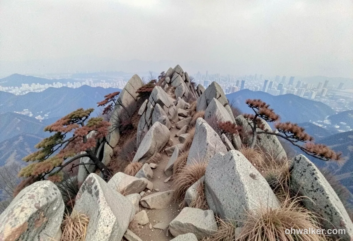 Image: AI-generated (not an actual photo of the location)
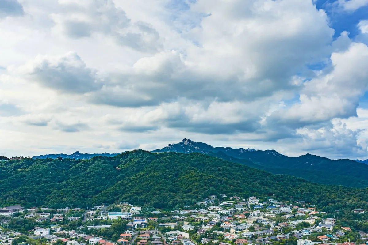
The trail starts with a gentle stroll through oak forests, but once you pass the mid-section, the rocky terrain ramps up significantly. Once you hit the ridge, though, it’s a real treat—you get sweeping views of downtown Seoul and the Han River, with Cheonggyesan and Gwacheon stretching out to the south. It’s so scenic that there are actually nine officially registered viewpoints in public data. Since it involves a mix of scrambling over rocks and using ropes, the hike definitely feels much more intense than the actual distance might suggest. Spring is lovely with the cherry blossoms and azaleas at the entrance to Gwanaksan Park, autumn offers gorgeous foliage against the rocky ridges, and while winter’s snow-covered rocks are beautiful, you really have to watch your step on the ice.
Main Routes (by Trailhead)
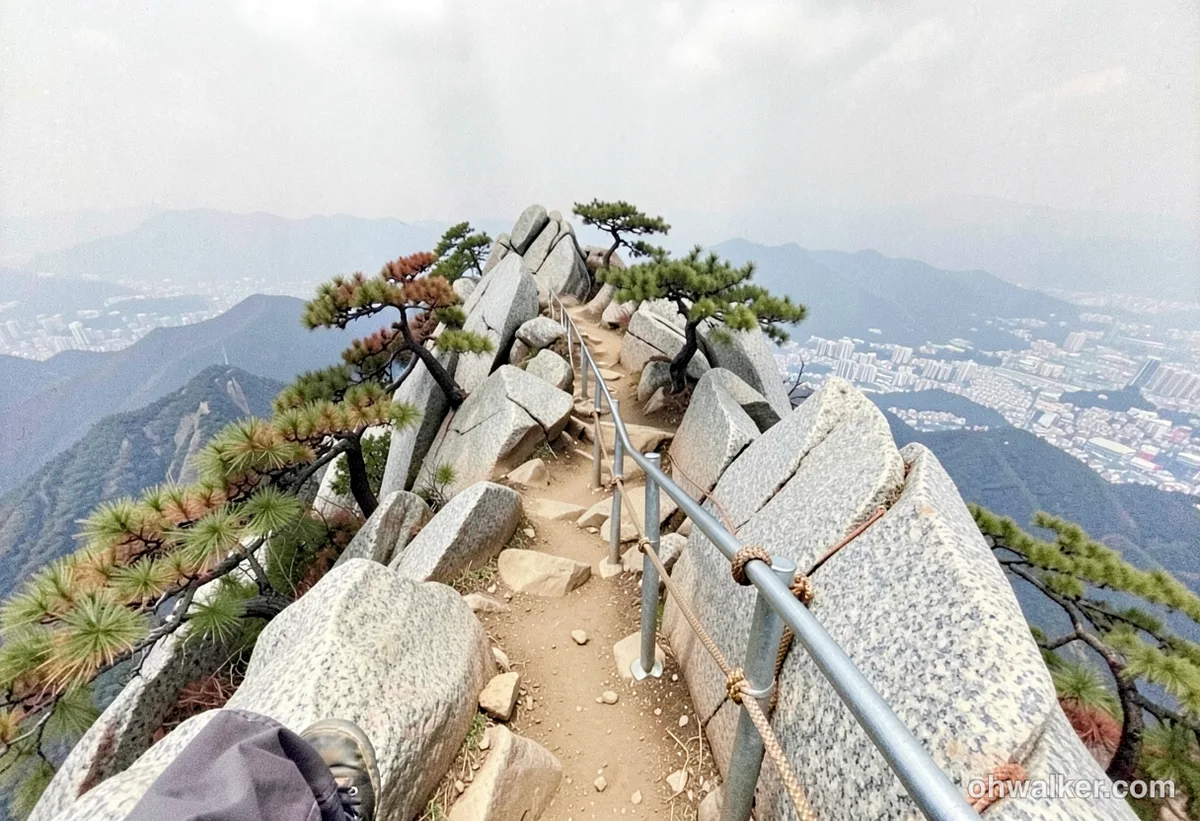 Image: AI-generated (not an actual photo of the location)
| Route (Trailhead → Summit) | Distance | Elevation Gain | Est. Time (One Way) | Difficulty | Popularity |
|---|---|---|---|---|---|
| Inheon High School → Gwanaksan Park Scenic Lookout | 10.83km | ↕570m | ~3h 39m | ★★★★★ | ★★★☆☆ |
| Faculty House Entrance → Summit | 7.71km | ↕567m | ~2h 52m | ★★★★☆ | ★★★★☆ |
| Trailhead → Palbong Peak | 8.92km | ↕579m | ~3h 12m | ★★★★★ | ★★★☆☆ |
| Nadeuri Forest Restroom → Hakbawi Flagpole Peak | 7.43km | ↕563m | ~2h 48m | ★★★★☆ | ★★★☆☆ |
| Nakseongdae Station → Jaunam Gugibong Peak | 6.78km | ↕579m | ~2h 40m | ★★★★☆ | ★★★★☆ |
| Entrance Restaurant → Summit | 6.37km | ↕553m | ~2h 31m | ★★★★☆ | ★★★★★ |
| Yongmagol Entrance → Summit | 7.12km | ↕500m | ~2h 37m | ★★★★☆ | ★★★☆☆ |
| Dongpyeon Village Complex 1 → Summit | 8.71km | ↕493m | ~3h 0m | ★★★★☆ | ★★★☆☆ |
Source: Korea Hiking & Trekking Support Center 100 Famous Mountains GPX (Distance, Elevation, Time, Difficulty) · Popularity is for reference only.
Route 1 — Inheon High School Trailhead → Gwanaksan Park Scenic Lookout
- Waypoints: Inheon High School Trailhead → Junction → Path to Gwaneumsa Flagpole Site → Inheon-dong Views → Gwanaksan Park Scenic Lookout → Closed Side Path → Seonyucheon Flagpole Site → Path to Yeonjudae → Hama Rock → Haetae Statue → Before the Heliport → Below Yeonjudae → Midway up the stairs to Yeonjudae → Yeonjudae Peak, Gwanaksan → Below Yeonjudae Peak, Gwanaksan
- Getting There: You can typically reach the Inheon-dong area by taking a local bus or walking from Nakseongdae Station (Line 2) or Sadang Station (Line 4). Since the trailhead is tucked into a residential neighborhood, there isn’t any dedicated parking, so I’d definitely recommend sticking to public transit.
- Quick Notes & Who It’s For: This is a long, comprehensive route that winds from the Gwaneumsa flagpole and the scenic lookout toward the Sadang Ridge, offering constant views of Seoul. Because of the length and the rocky terrain, it’s best suited for intermediate hikers or anyone who feels pretty confident about their stamina.
Course 2 — Faculty House Entrance → Summit
- Route: Seoul National University → Public Restroom → Fork in the road → Table Bench → Platform & Bench → Platform & Bench → Table Bench & Platform → Pavilion → Small Restroom → Lookout Point → Signpost (Mushroom Rock) → Signpost (Satgat Seunggun) → Lookout Point → Right Turn → Signpost, Gwanakmun (Upper)
- Getting There: Most people find it easiest to take Line 2 to Seoul National University Station and then catch a bus (like the 5511 or 5513) to head deep into the campus. Just a heads-up: parking on campus isn’t free and can get pretty hectic.
- The Vibe & Who It’s For: This course has a very distinct rhythm. It starts with an easy, gentle forest path well-equipped with benches and restrooms, but the terrain shifts to more rugged rock scrambling around Mushroom Rock and Gwanakmun. It’s a great choice for those who want to take it slow or anyone looking for a route with plenty of places to catch their breath.
Course 3 — Trailhead → Palbong Peak
- Route: Trailhead → Bogwangsa → Junction → Hoeung-yakmok → Madangbawi Shelter area → Idan Falls → Munwon Falls → Hinmoe-gil → Toward Palbong → Toward Yukbong → Palbong Peak → Near the junction → Yeonjudae Main Ridge direction → KBS base station → In front of the intersection
- Getting There: Most people head this way from Government Gwacheon Complex or Gwacheon Station (Line 4) toward Munwon-dong. You can also use the public parking lots in the Gwacheon area.
- The Vibe & Recommendations: This is one of Gwanaksan’s signature ridge courses, winding through the Idan and Munwon Falls valleys as you tackle eight rocky peaks in a row. There is plenty of scrambling involved, so you’ll definitely be using your hands as much as your feet. It’s perfect for experienced hikers looking for a bit of an adrenaline rush, but if you’re a beginner or if it’s raining, I’d definitely suggest skipping this one.
Course 4 — Nadeul-isup Restroom → Hakbawi Gukgibong
- Route: Nadeul-isup Restroom → Junction → Shelter → Signpost → Spring → Lookout → Rope Section → Scenic Rocks → Hakbawi Gukgibong → Helipad → Rabbit Rock → Face of Silence Rock → 3 Table Benches → Descent → Bus Stop
- Access: Most folks take a bus toward Seoul National University from either Sillim or Seoul* (Seoul National University) Station on Line 2. The descent leads straight to a bus stop, making the connection to public transit nice and easy.
- Highlights & Who It’s For: This course takes you from a quick water refill at the spring, through a bit of a rope scramble, to the Taegukgi flag and sweeping views at Hakbawi Gukgibong. It’s perfect if you want to skip the crowds at the main Yeonjudae peak in favor of a more peaceful ridge, or if you’re like me and just enjoy hunting for unique rock formations.
Course 5 — Nakseongdae Station → Jaunam Gugibong
- Route: Nakseongdae Station → Junction 3 → Shelter → Junction 11 → Junction 12 → Junction 13 → Junction 14 → Eomji Rock → Jaunam Gugibong → Squirrel Rock → Jaunam Ridge Trail → Fist Rock → Junction 20 → Lunch Break Shelter → Junction 22
- Access: This is an incredibly intuitive route that starts with a direct walk from Nakseongdae Station (Line 2). I’d definitely recommend taking the subway, as parking around the station can be a total nightmare.
- Highlights & Who It’s For: This is the Jaunam Ridge course, which climbs straight from the station into the mountains. The absolute highlight is the view from the granite slabs at spots like Eomji Rock and Fist Rock. Just a heads-up: there are quite a few junctions, so you’ll want to keep your map app handy. It’s the perfect “short but punchy” rocky hike for anyone in the metro area looking to squeeze in some mountain time.
Course 6 — Entrance Restaurant → Summit
- Waypoints: Subway → Meeting Point → Fork in the Road → Gwanaksan Restroom → Gwanaksan Hut Shop → Gwacheon Hyanggyo → Entrance Restaurant → Small Restroom before the Fork → Unnamed Stone Tower → Mudangbawi Spring → Songhakjeong Pavilion → Ridge Entrance → Views of Cheonggyesan and Gwacheon → Fire Watchtower → Bench below the Watchtower
- Getting There: Most people walk from Gwacheon Station (Line 4) toward the Gwacheon Hyanggyo area, but you can also use the public parking lots in downtown Gwacheon.
- Features & Who It’s For: This is a classic, popular route where you’ll find plenty of amenities—shops, restrooms, water springs, and pavilions—all conveniently spaced out along the way. At just 6.37km, it’s the shortest course in our list, making it my top recommendation for anyone tackling Gwanaksan for the first time or any travelers visiting from abroad.
Difficulty, Terrain & Safety Tips
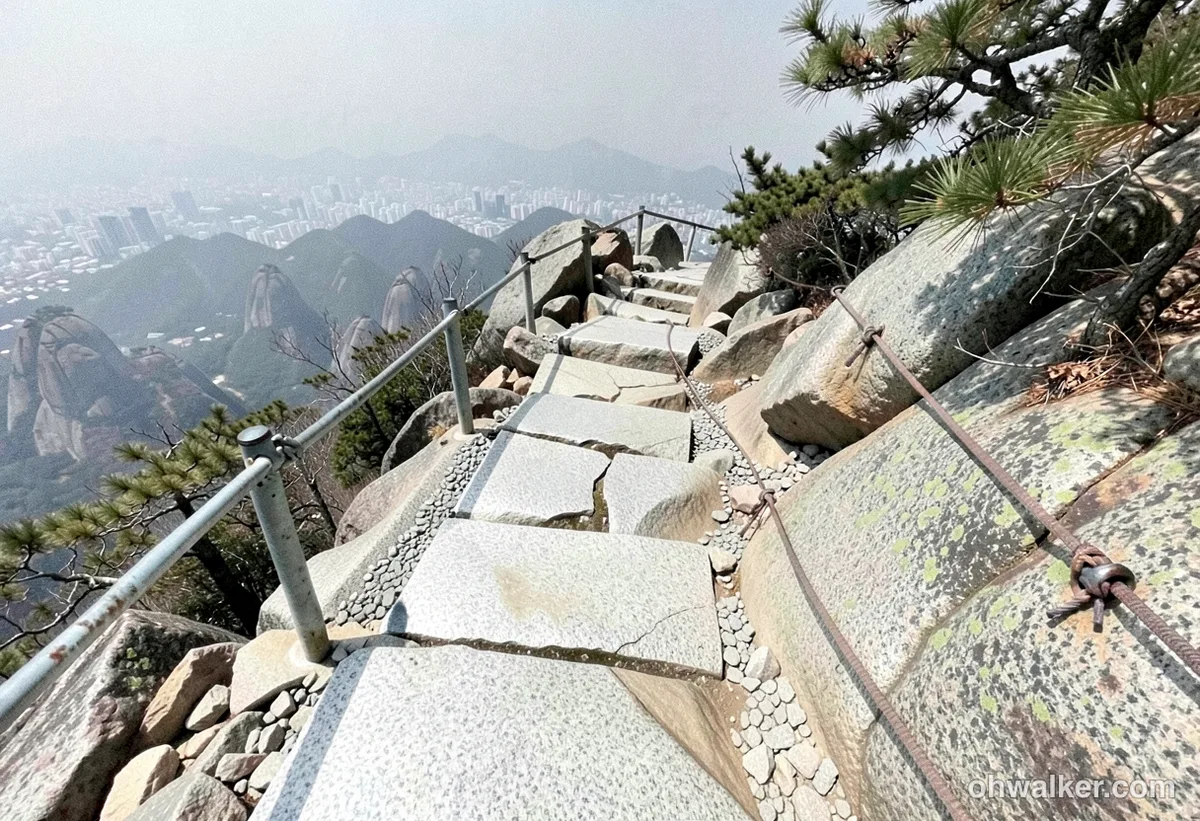 Image: AI-generated (not an actual photo of the location)
| Section (Admin District) | Distance | Difficulty | Terrain |
|---|---|---|---|
| (No section name) | 31.57km | Easy/Moderate | - |
| Jungang-dong Section | 3.79km | Easy | - |
| Namhyeon-dong Section | 3.59km | Easy | Rock |
| Gwacheon-dong Section | 2.37km | Easy | - |
| Galhyeon-dong Section | 2.37km | Easy | - |
※ Note: Section names are based on administrative districts; the total of 43.69km represents the cumulative length of all trails in the area, not a single continuous course.
While the data lists the peak difficulty as “Moderate,” you might find it feels a bit tougher in practice since much of the terrain is rocky. Be especially careful on Palbong Ridge, Jaunam Ridge, and the stairs just before Yeonjudae—without crampons in the winter, it’s quite dangerous, and those granite slabs can get notoriously slippery when it rains. There is one officially designated “danger zone” in the public data, so please follow the detour routes when you see the signage.
As for amenities, there are 9 viewpoints (including Saebawi, Madangbawi, Geobukbawi, the lookout tower/TP marker, the bunker/helipad area, the guard post, and various spots near shelters), 7 water stations (including spring sites), 1 shelter/information point (located where the fire prevention signs, broadcasting equipment, and forest interpretation boards are), and 1 parking lot.
Distance and Duration
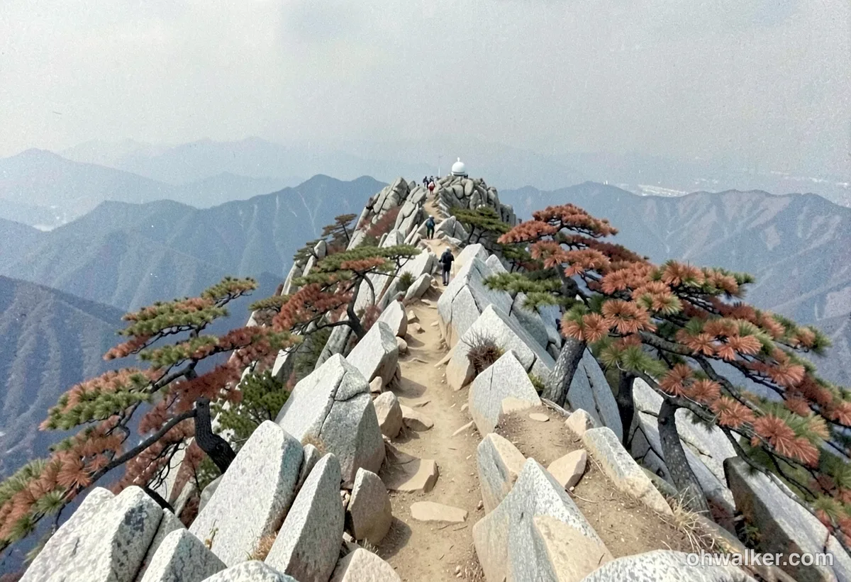 Image: AI-generated (not an actual photo of the location)
Gwanaksan is definitely a mountain you can tackle in a single day. On the standard routes, it takes about 2.5 to 3 hours and 40 minutes one way, so you should budget roughly 5 to 7 hours for a round trip. While the data shows a cumulative time of 779 minutes ascending and 542 minutes descending, keep in mind that this is the total for all sections combined—don’t mistake it for a single course duration. That said, the average ascent pace of roughly 18 min/km calculated here is a great benchmark to use when planning your own trek. You would only really need to consider an overnight stay (there is one shelter in the area) if you’re planning a full traverse of the entire 43.69km length across various ridges; for a typical round trip to the summit, a day trip is more than enough.
Getting There (Public Transit & Parking)
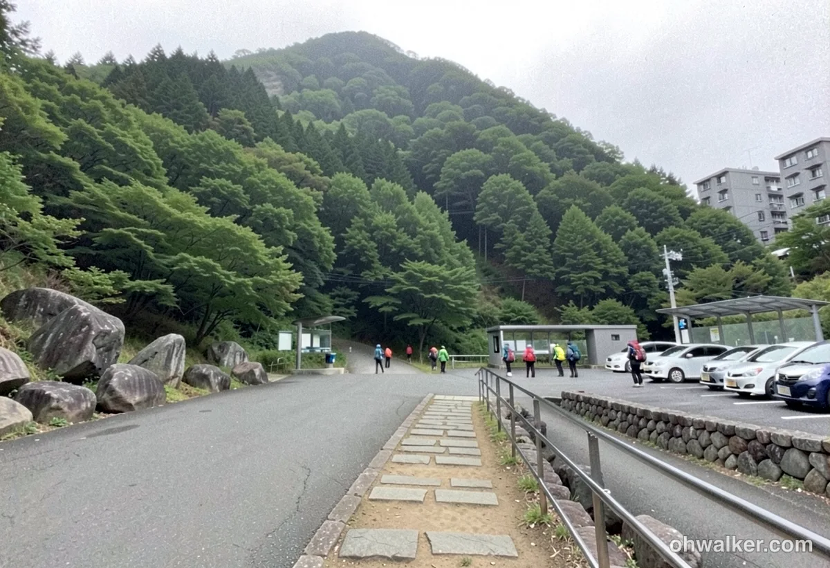 Image: AI-generated (not an actual photo of the location)
- Subway: Your main gateways are Line 2 (Nakseongdae, Seoul National University Station, and Sillim stations toward Seoul) or Line 4 (Sadang, Gwacheon, and Government Complex Gwacheon stations toward Gwacheon). From SNU Station, you can catch buses like the 5511 or 5513 to reach the campus trailhead.
- Bus: While city and village buses run to stops near various trailheads, there aren’t any bus stops registered directly at the trail entrance. I’d suggest planning for a bit of a walk from the nearest station as a rule of thumb.
- Parking: According to public data, there is only one parking lot within the route area. While there are paid lots near Gwacheon Hyanggyo and SNU, they get incredibly crowded on weekends. I’d strongly recommend sticking to public transit instead. For the most accurate routes and bus numbers, it’s always best to enter your starting point into KakaoMap or Naver Map.
Season, Weather & Gear
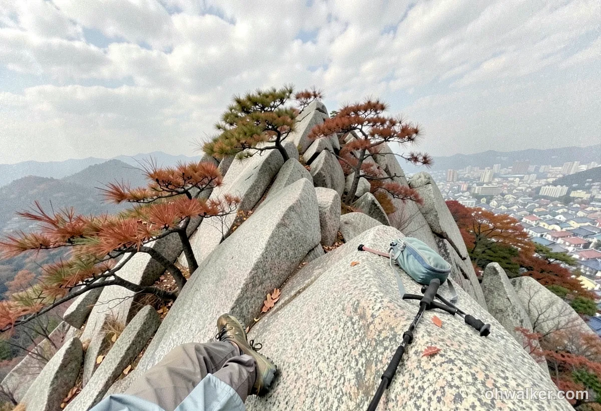 Image: AI-generated (not an actual photo of the location)
- Recommended Seasons: Spring (April–May) and fall (October–November) are the sweet spots. You’ll catch the cherry blossoms near the Gwanaksan Park entrance in the spring, and the autumn foliage along the ridges is beautiful.
- Summer: The granite gets scorching hot, and since there are many slab sections without much shade, I’d suggest packing plenty of water (at least 1.5L) and starting your hike early in the morning to beat the heat.
- Winter: Ice on the rocks can be quite severe, so crampons (chain spikes) and trekking poles are practically essential. Make sure to pack some solid windproof clothing as well.
- General Gear: A good pair of hiking boots with solid grip is a must (I wouldn’t recommend sneakers given the rocky terrain), along with gloves for the scrambling sections, plenty of water, snacks, and a power bank. If it starts raining, it’s much safer to skip the ridge trails and stick to the gentler paths along the valley instead.
Tips for International Travelers
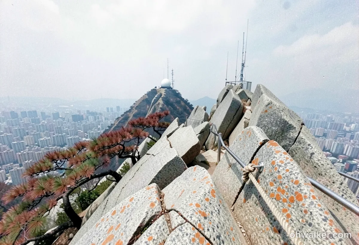 Image: AI-generated (not an actual photo of the location)
- Key Place Names: Gwanaksan, Yeonjudae Peak, Nakseongdae Station, Sadang Station, Gwacheon Station, Seoul National University (SNU), Palbong Ridge.
- Permits & Fees: There are no entrance fees or permits required for the mountain. It’s completely free and doesn’t require any prior reservation. Just be sure to respect the restrictions on night hiking and stay away from closed side paths (you’ll see official signage for these).
- Toilets & Water: You’ll find public or simple restroom facilities at the trailheads and in the early sections of the hike. There are also seven registered water stations (springs/fountains) along the course. However, since there are no facilities once you’re up on the ridges, make sure to fill your bottles before heading up. If you take the Gwacheon Hyanggyo course, there is also a small shop (Gwanaksan-jang) available.
- Map Apps: Just a heads-up—Google Maps isn’t very accurate for hiking trails or walking routes in Korea. You should definitely install KakaoMap or Naver Map (which has English support). Since the trails can have a lot of forks, it’s a good habit to check your GPS regularly.
- Safety: Along the trails, you’ll see location signs with “multi-purpose location numbers.” Keep these in mind; they are very useful if you ever need to call emergency services (119). You may also see emergency contact info at certain scenic lookout points. When you encounter rocky sections, please use the designated ropes and stairs. Most importantly, avoid the ridge trails during rain or icy conditions.
📍 The Sawtooth Palbong Ridge and the Crags of Yeonjudae: Gwanaksan, SeoulLocation
Contact: bumseok.view [at] gmail [dot] com

Comments