Ridge After Ridge in the Yeongnam Alps: Unmunsan in Cheongdo and Miryang
Hiking · Published 8/2/2026 ·
등산로 트랙·시설 (공공데이터: 전국등산로 공간정보) · 🚩시종점 💧음수대 👁️조망점 🏠대피소 🅿️주차장 ⚠️위험 · 지도 © OpenStreetMap ⤓ GPX 다운로드
At a Glance
| Metric | Rating |
|---|---|
| Accessibility (public transit & parking) | ★★☆☆☆ |
| Trail difficulty | ★★★☆☆ |
| Water sources on the mountain | ★☆☆☆☆ |
| Need an overnight stay? | ★☆☆☆☆ (easily a day trip) |
| Seasonal difficulty — Spring | ★★★☆☆ |
| Seasonal difficulty — Summer | ★★★★☆ |
| Seasonal difficulty — Autumn | ★★★☆☆ |
| Seasonal difficulty — Winter | ★★★★★ |
※ Source: Korea Forest Service trail geospatial data · accessibility and seasonal figures are rough guides
Overview
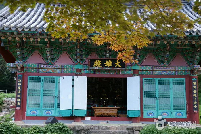
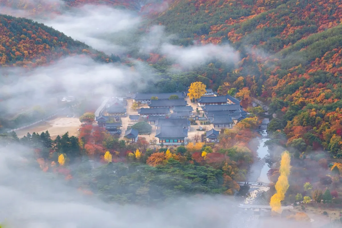 Photo: Korea Tourism Organization photo gallery (Unmun-myeon, Cheongdo-gun, Gyeongsangbuk-do — Unmunsa Temple) · KOGL
Unmunsan rises right on the border between Cheongdo-gun in Gyeongsangbuk-do and Miryang in Gyeongsangnam-do, topping out at 1,212m according to the data — solidly in the 1,200m class. It’s one of the pillars of the southern Nakdong ridge’s high peaks, the cluster people call the “Yeongnam Alps,” and together with neighbors like Gajisan, Cheonhwangsan, and Eoksan it forms a genuinely imposing skyline. The mountain mixes gentle earth slopes with sharp rocky spires, which is why it has a reputation for being as good to look at as it is to walk.
The main routes to the summit run about 7–11km one way with 700–1,000m of net elevation gain — not a pushover by any means, though almost all of it is doable as a day hike. The data files the hardest grade here as “moderate,” but with that much net gain on the actual measured routes, it can feel a fair bit harder than that on the day. The mountain also holds the serene temples of Unmunsa and Seokgolsa, which makes it a well-known pick for visitors who want a bit of culture with their nature.
The Mountains and the Terrain
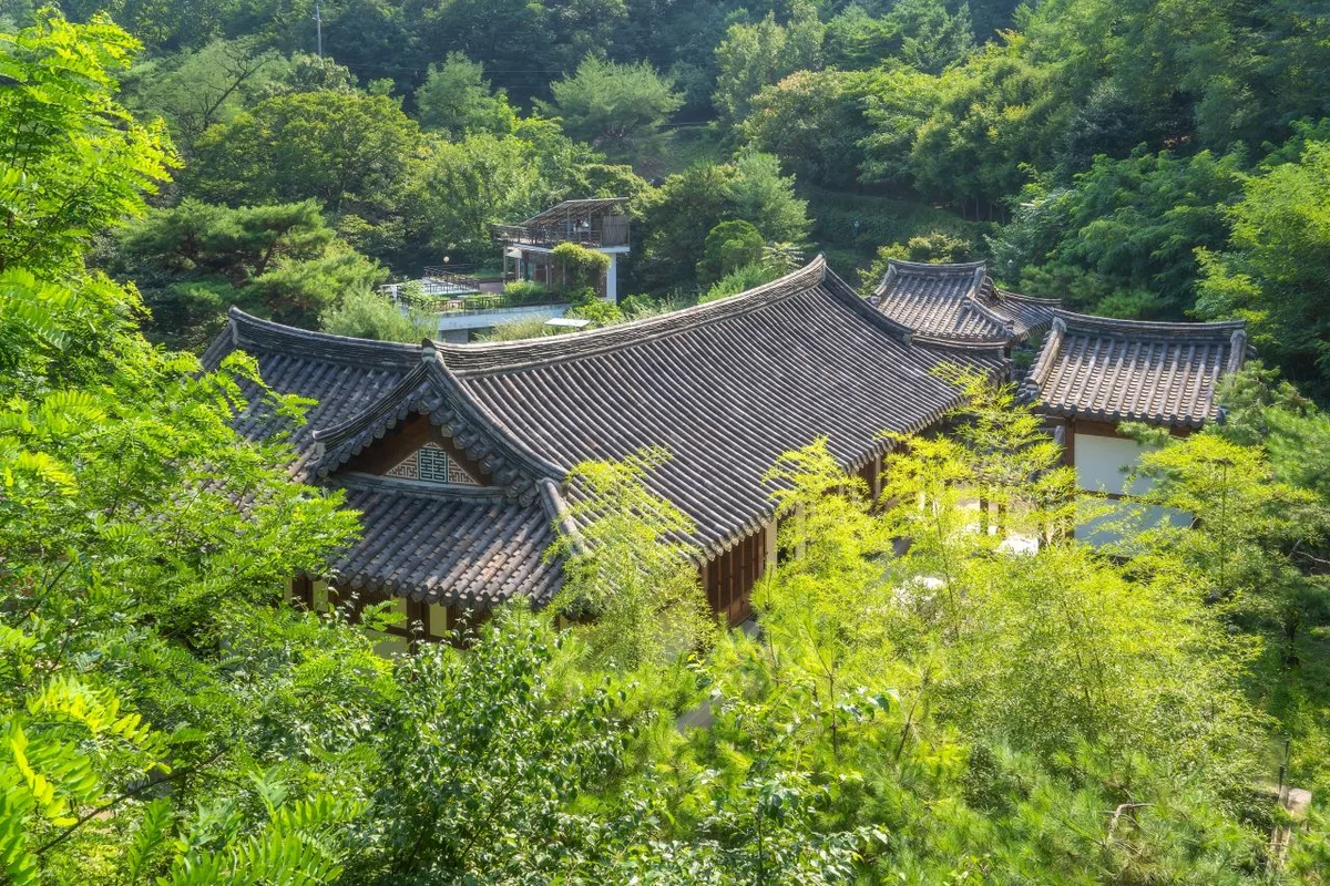 Photo: Korea Tourism Organization photo gallery (Cheongun-dong, Jongno-gu, Seoul) · KOGL
Unmunsan is a mixed bag of terrain — gentle dirt ridgelines on one hand, sheer rocky peaks on the other. The summit area (Unmunsan peak, 1,209m) is fairly broad and flat, but the approach to the top and the surrounding ridges are dotted with rock spines, cliffs, and viewpoint boulders.
Looking at the major peaks logged in the public data, the ridge runs from the Unmunsan summit (1,209m) through a 1,136m triangulation point, a 1,107m triangulation point, Sajabong (951m), Seoraebong (663–684m), and Suribong (765m). Neighboring Eoksan’s summit (944–970m) sits on the same ridge system, which makes it a natural link-up point for a traverse. Because the peaks vary so much in elevation and the ridge stretches on for so long, a single course will hand you forest path, then rock, then a lookout, then back again — that’s the signature of this mountain.
The valleys are well developed too, with clear watercourses like Seokgol Falls on the Seokgolsa side and the streams over toward Unmunsa. That said, there are no maintained, year-round spring water points up on the summit or along the ridges — so plan on carrying your water in, not scooping it from a valley.
What the Hike Feels Like
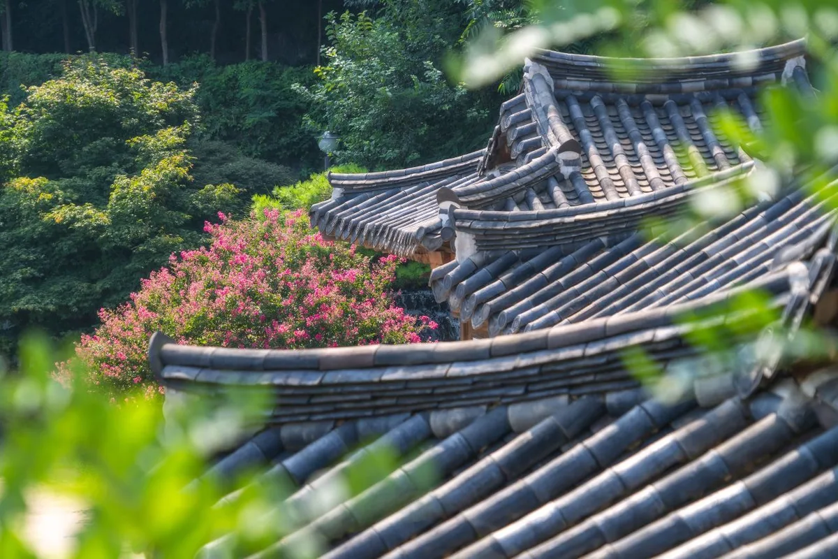 Photo: Korea Tourism Organization photo gallery (Cheongun-dong, Jongno-gu, Seoul) · KOGL
From the trailhead up to the ridge, most of the climb runs through thick forest, so there’s plenty of shade even in summer. Once you gain enough elevation to top out on the ridge, the view opens up and you get that classic Yeongnam Alps panorama — ridgeline stacked behind ridgeline. The sweep of surrounding peaks from the observation deck and the lookout rocks is what this mountain is really known for.
The seasons show up clearly here, too. Spring brings stands of dwarf bamboo and fresh green everywhere; autumn brings foliage that sets the whole ridge on fire. The summit area, on the other hand, sits high enough that the wind picks up and the temperature drops — the wind chill often falls off a cliff the moment you step onto the ridge. There are rocky stretches mixed in, so you’ll need to keep your eyes on your feet, which is exactly why standing on the summit feels like such an accomplishment.
Main Routes (by Trailhead)
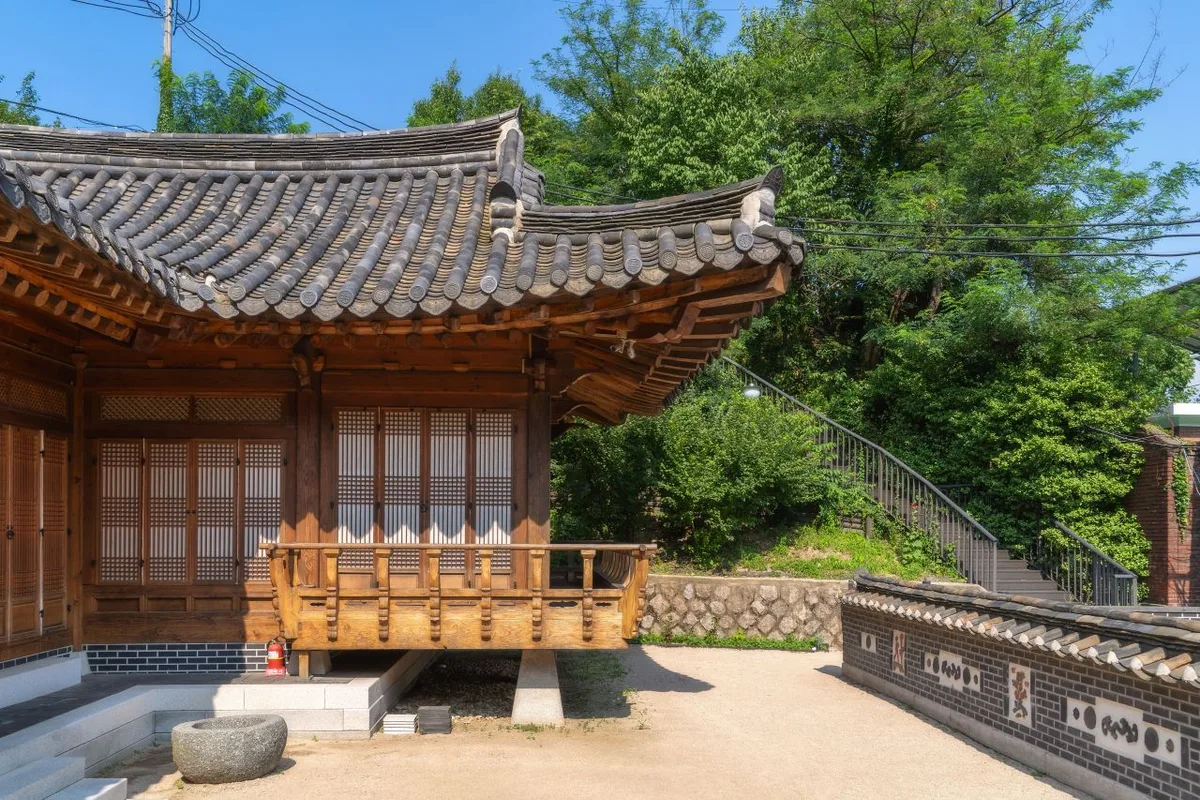 Photo: Korea Tourism Organization photo gallery (Cheongun-dong, Jongno-gu, Seoul) · KOGL
| Route (trailhead → summit) | Distance | Net elevation gain | Est. time (one way) | Difficulty | Popularity |
|---|---|---|---|---|---|
| Junction 2 → Observation deck | 7.58km | ↕902m | about 3 hr 24 min | ★★★★★ | ★★☆☆☆ |
| Wonseo bus stop → Observation Deck 1 | 8.87km | ↕1013m | about 3 hr 54 min | ★★★★★ | ★★★★☆ |
| Seokgolsa Temple → Summit | 7.34km | ↕922m | about 3 hr 22 min | ★★★★★ | ★★★★★ |
| Wonseo bus stop → Observation deck | 11.42km | ↕957m | about 4 hr 27 min | ★★★★★ | ★★★☆☆ |
| Munsu Seonwon → Observation deck | 11.41km | ↕898m | about 4 hr 21 min | ★★★★★ | ★★☆☆☆ |
| Restrooms → Observation deck | 10.02km | ↕749m | about 3 hr 45 min | ★★★★★ | ★★★☆☆ |
| Wonseo bus stop → Observation Deck 1 | 7.48km | ↕775m | about 3 hr 10 min | ★★★★★ | ★★★★☆ |
| Seokgol Falls → 119 Rescue Team | 8.23km | ↕710m | about 3 hr 14 min | ★★★★★ | ★★★☆☆ |
※ Source: Korea Hiking & Trekking Support Center, GPX data for the 100 Famous Mountains (distance, elevation, time, difficulty) · popularity ratings are for reference only
Course 1 — Junction 2 → Observation Deck
- Route: Junction 2 → Junction 3 → end of the paved road → ridge trail → shelter/rest area → observation deck → summit → Junction 10 → Junction 11 → Junction 12 → environmental monitoring post → Junction 14 → scenic overlook
- Getting to the trailhead: The trailhead at “Junction 2” is really just a branching point that feeds onto the ridge, and there’s no public transit stop right beside it. Most people park in the village below or come in via the access road for one of the neighboring courses, so it’s safest to check the exact entry point on a map app.
- Character and who it suits: This route climbs onto the ridge trail fairly quickly, then strings together the observation deck and the summit one after the other — plenty of views for the distance you cover. Once you’ve sorted out getting up to the ridge, it isn’t especially demanding, which makes it a good fit for anyone who wants an efficient taste of what the summit area of Unmunsan has to offer.
Course 2 — Wonseo Bus Stop → First Overlook
- Route: Wonseo Bus Stop → Junction 6 → First Overlook → Second Overlook → Junction 21 → Third Viewpoint → Unnamed Rock → Waypoint 12 → Ridge Rest Area → Junction 15 → Viewpoint → Hamhwasan 1,107m → Unmunsan Summit (1,188m) → Peak 1,107m Triangulation Point → Junction 20
- Getting to the trailhead: The trailhead at Wonseo Bus Stop is the go-to starting point on this mountain if you’re coming by public transit. It’s served by city buses heading toward Wonseo-ri in Sannae-myeon, Miryang, and it’s the access point most car-free hikers use. Check KakaoMap or Naver Map for live schedules and route details.
- What it’s like / who it suits: This is a classic, view-rich route that strings together the First and Second Overlooks plus several other viewpoints before passing over Hamhwasan on the way to the summit. Net elevation gain tops 1,000m, so the climbing is relentless — best for hikers who trust their fitness and want to get here by public transit.
Course 3 — Seokgolsa Temple → Summit
- Route: Seokgolsa → Seokgolsa restroom → trail map → Junction 5 → Junction 6 → Junction 8 → Junction 9 → Junction 10 → Junction 11 → Junction 12 → Junction 15 → Sangunam Hermitage → Jeongguji Rock → Junction 18 → Junction 7
- Getting to the trailhead: This course starts from Seokgolsa, a temple in Sannae-myeon, Miryang, and it’s the classic jumping-off point for Unmunsan from the south. There’s usually visitor parking near the temple, and if you’re coming by public transport, most people combine a bus toward Wonseo-ri with some walking or a short drive.
- What it’s like / who it suits: You climb alongside a valley, then hit landmarks like the ridgeline hermitage Sangunam and Jeongguji Rock — there’s a lot to see and talk about on this one. It’s a good fit if you want temple, valley, and rock all in one outing, or if you have a soft spot for the mood of the south ridge.
Course 4 — Wonseo Bus Stop → Observation Deck
- Route: Wonseo Bus Stop → Seokgol Bridge → Junction 3 → Chotdaebawi (Candlestick Rock) → Observation Deck → autumn foliage stretch → Peak 968 → triangulation point at 1,030 m → triangulation point at 1,107 m → Junction 9 → scenic viewpoint → Unmun Sanbang → Jaeunsa Temple → old tree → Hayang Bridge
- Getting to the trailhead: This one starts from the same Wonseo Bus Stop as Course 2, but swings out wide toward Seokgol Bridge and strings together a long ridgeline, so it’s closer to a loop. Public transit access is the same — Wonseo stop works fine.
- What it’s like / who it suits: A long-haul course that passes Chotdaebawi and several triangulation-point peaks while working its way broadly around the ridge, with a particularly memorable autumn foliage section. It’s a long distance and you’ll need time to spare, so I’d recommend it to anyone willing to give up a whole day to the mountain for a taste of a proper ridge traverse.
Course 5 — Munsu Seonwon → Observation Deck
- Route: Munsu Seonwon → Mogwol Bridge → water tank → observation deck → the peak known locally as Munsubong (645m) → Junction 6 → Junction 7 → dwarf bamboo grove → helipad → scenic viewpoint → Eagle Rock → Eagle Rock → Eagle Rock viewing platform → Junction 15 → Junction 16
- Getting to the trailhead: This one starts at Munsu Seonwon, crosses Mogwol Bridge, and then latches onto the ridge. Public transport means a combination of a nearby village bus stop and some walking, and the entry point can be a little confusing — worth pulling up the route on a map app beforehand.
- What it’s like / who it’s for: The appeal here is the ever-changing ridge that links Munsubong, the dwarf bamboo grove, and the Eagle Rock viewing platform. Rocky viewpoints come one after another, so it’s a good long course if you like walking with a camera and plenty to look at.
Course 6 — Restroom → Observation Deck
- Route: Restroom → Unmunsa parking lot → Junction 3 → Peak 506 triangulation point → current-location marker → observation deck → nature preservation area coordinate marker → Seoraebong (657.1m) triangulation point → rest area → Seoraebong (663m) → Junction 13 → Samjibong → Beombong, Unmunsan (962m) → Junction 16 → Junction 17
- Getting to the trailhead: This course starts near the Unmunsa parking lot in Unmun-myeon, Cheongdo, which makes it easy to pair a visit to the temple with the hike itself. You can reach the Unmunsa side by bus from downtown Cheongdo or Unmun-myeon, or drive in — the temple grounds have a large parking lot you’ll be using.
- What it’s like / who it suits: The route loops around the ridge linking Seoraebong, Samjibong, and Beombong, and since the net elevation gain is relatively low, the climbing feels less punishing here than on the other courses. I’d recommend it to anyone who wants temple culture and ridge views in one outing, and to hikers who’d rather trek a ridgeline than push straight up to a summit.
Difficulty, Trail Surface, and Cautions
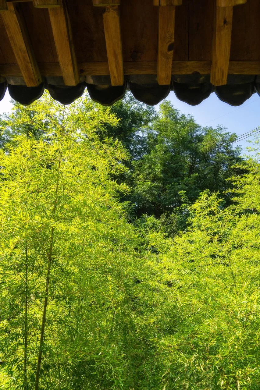 Photo: Korea Tourism Organization photo gallery (Cheongun-dong, Jongno-gu, Seoul) · KOGL
Here’s how the registered trail sections break down by administrative district. The figures below are the combined length of all trails falling within each district — not the distance of any single course.
| Section (by administrative district) | Total length | Difficulty | Surface |
|---|---|---|---|
| (unnamed section) | 47.42km | Easy/Moderate | - |
| Sinwon-ri section | 9.02km | Easy | - |
| Nammyeong-ri section | 3.31km | Easy | - |
| Obong-ri section | 3.24km | Easy | - |
| Samyang-ri section | 2.77km | Easy | - |
| Wonseo-ri section | 1.48km | Easy | - |
| Seokgolsa parking lot section | 0.14km | Easy | - |
※ These are total trail lengths tallied by administrative district (the sum of several courses in that area), not the distance of a single course. The highest difficulty rating in the data is “Moderate.”
The data doesn’t record surface type separately, but the surveyed courses include plenty of rocky ridgelines and lookout boulders, so in practice you’ll be crossing a mix of rock, stone, and packed dirt. That kind of surface gets slick in the rain and turns genuinely dangerous when it ices over in winter. The summit and ridgelines catch strong wind, too, so don’t push on through rain or gusts.
One more thing worth noting: the public data lists no registered water points, shelters, viewpoints, hazard zones, or official trailhead information signs for this mountain. In other words, don’t count on finding a maintained spring to refill water up there, or a permanent shelter to duck into if the weather turns. Bring plenty of water and build some slack into your schedule in case conditions go south.
Distance and Time Required
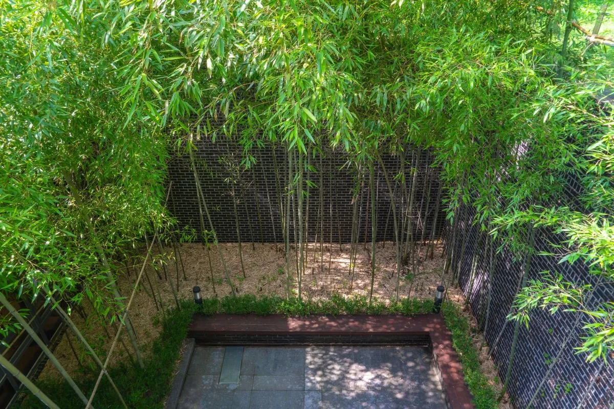 Photo: Korea Tourism Organization tourism photo gallery (Cheongun-dong, Jongno-gu, Seoul) · KOGL
The main courses run roughly 7–11 km one way, with an estimated 3 hours 10 minutes to 4 hours 30 minutes one way. Whether you go out and back or make a loop along the ridge, most of these work as a day hike — and if you set off at dawn or in the morning, you’ll finish with time to spare.
For reference, the public data records the cumulative time for every trail section in the area as 1,199 minutes ascending and 844 minutes descending. But that’s the total for all sections added together, not the time for any one course. Working backward from those numbers gives an average ascending pace of about 18 minutes per kilometer. In other words, at this mountain’s typical walking speed — uphill sections included — each kilometer takes about 18 minutes. Multiply that pace by the distance of whatever course you’re planning and you’ll get a rough estimate of your climb time. Your actual time will vary with fitness, breaks, and weather.
If you’re aiming to traverse the whole ridge (the total trail length in the area comes to about 67.38 km), one day won’t cut it — you’ll need to plan for at least one overnight. There are no maintained shelters up on the mountain, though, so the practical approach for a traverse is to base yourself in lodging at the foot of the mountain and break the route into sections.
Getting There (Public Transit and Parking)
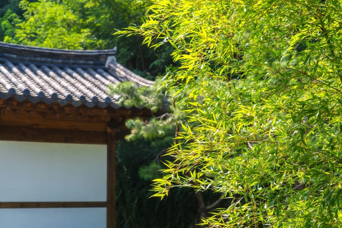 Photo: Korea Tourism Organization photo gallery (Cheongun-dong, Jongno-gu, Seoul) · KOGL
If you’re coming by public transit, the main trailhead to aim for is the Wonseo bus stop. Local buses heading toward Wonseo-ri in Sannae-myeon, Miryang stop here, and several of the surveyed courses use it as their starting point. Coming from the Cheongdo side, you can pick up a course that starts near the Unmunsa parking lot instead.
If you’re traveling from Seoul or another major city, the usual approach is to take the KTX, a regular train, or an intercity bus to Cheongdo or Miryang first, then transfer to a local bus toward Wonseo-ri or Unmunsa. Buses don’t run often, so I’d strongly recommend checking departure times and transfer routes in real time on KakaoMap or Naver Map before you set out.
As for parking, there’s no officially registered mountain parking lot in the public data. That said, the temple grounds at Seokgolsa and Unmunsa and the nearby villages generally have space that visitors use, so if you’re driving, it’s worth looking up the parking at your destination temple or village on a map app ahead of time.
Season, Weather, and Gear
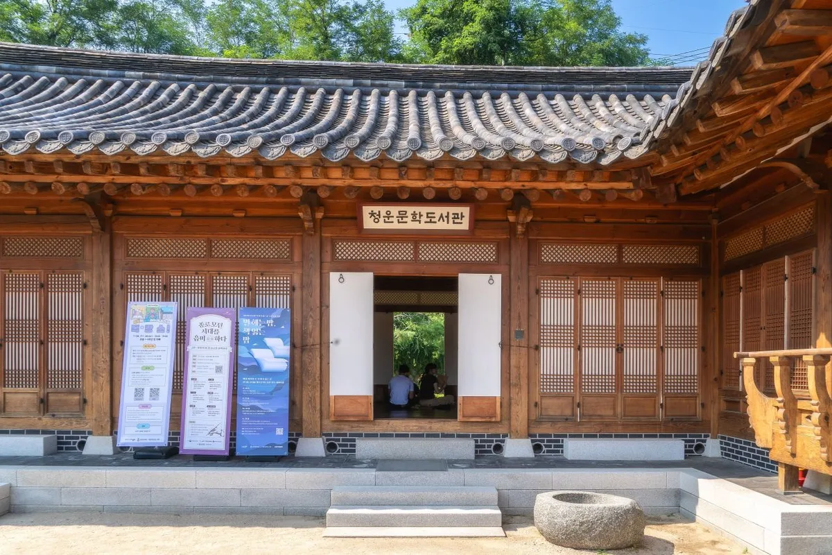 Photo: Korea Tourism Organization photo gallery (Cheongun-dong, Jongno-gu, Seoul) · KOGL
- Best seasons: Spring, when the new greenery and dwarf bamboo are at their freshest, and autumn, when fall colors sweep across the ridgeline. Summer gives you plenty of shade in the forest, but watch out for the humidity, the heat, and sudden downpours.
- Seasonal cautions: In winter, high winds, ice, and snow at the 1,200m summit ridge push the difficulty up sharply. Rock and stone sections get treacherously slick once they freeze, so I wouldn’t recommend a solo winter hike here if you’re a beginner. In summer, be careful of afternoon showers near the valleys and the fast water that follows.
- Essential gear: Hiking boots with good grip, plenty of water (there are no springs on the mountain, so bring more than you think you need), snacks for the trail, and a windbreaker plus a warm layer. In winter, crampons, gaiters, and insulated gloves and a hat are must-haves — and in any season, I’d pack a headlamp and rain gear.
Tips for Foreign Travelers
 Photo: Korea Tourism Organization photo gallery (Cheongun-dong, Jongno-gu, Seoul) · KOGL
- Key place names (romanized): Unmunsan (Summit, approx. 1,209 m), Wonseo Bus Stop, Seokgolsa (temple), Unmunsa (temple), Sangunam. It’s worth memorizing the romanized names of the summit and your trailhead — it makes asking for directions on the ground much easier.
- Permits and entry fees: You generally don’t need any advance permit to hike here. That said, passing through temple grounds like Unmunsa or Seokgolsa, or using their parking lots, may involve a cultural property admission fee or a parking charge, so check the signage on site.
- Restrooms and water: There are restrooms near the temples and parking areas, but no maintained restrooms or water fountains along the ridge or at the summit. Stock up on water before you start climbing.
- Map apps: In Korea, Google Maps is often unreliable for walking and hiking routes. Install KakaoMap or Naver Map to check bus times, routes, and trailhead locations, and pair it with a dedicated hiking app (Ramblr, for example) for the trail track itself.
- Safety: There are no permanently staffed shelters on the mountain and cell reception along the ridge can be spotty, so hike with company and share your plans in advance. In an emergency, the number for mountain rescue and reporting in Korea is 119. In winter or in rain, don’t push it — give yourself plenty of margin on your descent time.
Other Mountains Nearby
- Ice Valley and the Sajapyeong Silver Grass Plateau, Jaeyaksan in Miryang — about 8 km as the crow flies
- Silver grass fields and rocky ridge views, Sinbulsan in Ulsan — about 14 km as the crow flies
- Walking the Godangbong ridge in Busan along the Geumjeong Fortress walls — about 41 km as the crow flies
📍 Ridge After Ridge in the Yeongnam Alps: Unmunsan in Cheongdo and MiryangLocation
Contact: bumseok.view [at] gmail [dot] com
Related posts
-
Ridge After Ridge, Hugging a Reservoir: The 'Alps of Chungnam,' Cheonggyesan in Cheongyang
-
Ice Valley and the Sajapyeong Silver Grass Plateau | Mt. Jaeyaksan, Miryang
-
A Granite Ridge Holding Thousand-Year-Old Rock-Carved Buddhas: Namsan in Gyeongju
-
Cheontaesan in Chungbuk: Home to Turtle Rock Ridge and Yeongguksa Temple
Comments