Ridge After Ridge, Hugging a Reservoir: The 'Alps of Chungnam,' Cheonggyesan in Cheongyang
Hiking · Published 7/30/2026 ·
등산로 트랙·시설 (공공데이터: 전국등산로 공간정보) · 🚩시종점 💧음수대 👁️조망점 🏠대피소 🅿️주차장 ⚠️위험 · 지도 © OpenStreetMap ⤓ GPX 다운로드
At a Glance
| Metric | Rating |
|---|---|
| Accessibility (public transit/parking) | ★★☆☆☆ |
| Trail difficulty | ★★☆☆☆ |
| Water/springs on the mountain | ★☆☆☆☆ |
| Overnight stay needed? | ★☆☆☆☆ (a day trip is plenty) |
| Seasonal difficulty – Spring | ★★☆☆☆ |
| Seasonal difficulty – Summer | ★★★☆☆ |
| Seasonal difficulty – Fall | ★★☆☆☆ |
| Seasonal difficulty – Winter | ★★★☆☆ |
※ Source: Korea Forest Service trail spatial data · accessibility and seasonal ratings are for reference only
Overview
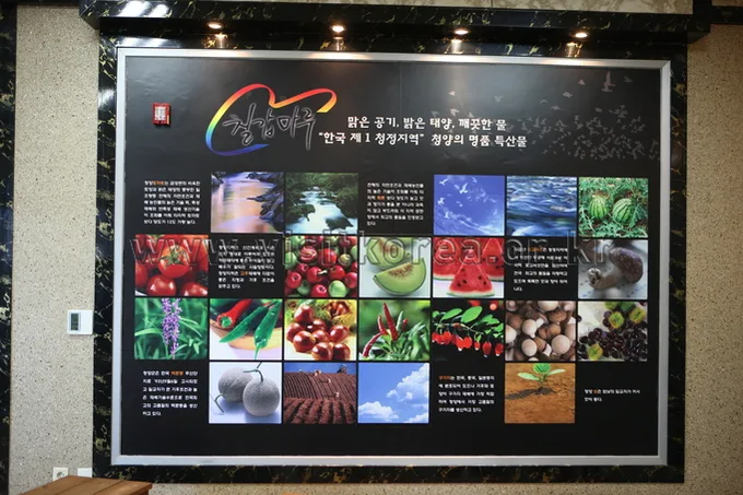 Photo: Korea Tourism Organization Photo Gallery (Chungcheongnam-do) · KOGL Type 1
Chilgapsan spans Daechi-myeon, Jeongsan-myeon, and Janggok-myeon in Cheongyang-gun, Chungcheongnam-do, with a summit elevation of 584m. It’s nicknamed the “Alps of Chungnam,” but don’t let that fool you — it’s not some sprawling, dramatic range. What you actually get is a compact, likeable mountain with ridgelines branching off in several directions, valleys and reservoirs woven throughout. According to the trail data, the toughest routes here only rate as “easy,” so beginners and families can tackle it without much trouble, and even a round trip to the summit fits comfortably into a day hike. That said, distance and elevation gain vary quite a bit depending on which course you pick, so if this is your first time, it’s worth checking the course breakdown below and choosing a starting point that matches your fitness level.
Mountain Shape & Terrain
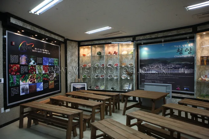 Photo: Korea Tourism Organization Photo Gallery (Cheongyang, Chungcheongnam-do) · KOGL Type 1
Chilgapsan isn’t really a granite rock-mountain in the classic sense — it’s more of a soil-covered “flesh mountain,” with gently rolling ridgelines that only turn rocky in short stretches near the summit. And the summit itself is a bit of a puzzle: alongside the main marker at 584m, there are separate stone markers and signposts around the 583m, 582m, and 570m points, so depending on which one you go by, the “official” summit elevation gets reported anywhere from 584m down to 570m. It’s worth double-checking the actual triangulation point on a map app before you set out, just so you’re not left scratching your head on the trail. South of the summit, the ridge continues on to Samhyungjebong (562m), a peak you’ll cross if you’re taking the route toward Janggoksa Temple, while down at the entrance to the mountain sits the comparatively modest Baengnisan (259m), acting almost like a buffer before the real climb begins. The Chilgapsan Observatory also sits up near the summit area, so part of the hiking trail actually overlaps with the path visitors take to reach it.
Feel of the Trail
 Photo: Korea Tourism Organization photo gallery (Cheongyang, Chungcheongnam-do) · KOGL
Chilgapsan is, on the whole, a mountain of long, gentle forest paths where pine and oak trees mingle, and most of the route runs along soft dirt trails and leaf-strewn footpaths — so it’s an easy one on the legs. There are a few short, steep rocky ridges here and there, but nothing too hairy. What really stands out is how the ridgeline changes with the seasons: fresh green leaves and wildflowers in spring, and brilliant foliage come autumn. As you near the summit, the view opens up, and there are spots where the reservoirs and villages around Cheongyang spread out before you in one sweeping glance — so even though it’s a gentle climb, the payoff at the top is real. In summer, the course near the valley (toward Janggoksa Temple) gives you a nice cool breeze along with the sound of running water, while in winter the leaf-covered dirt paths can ice over, so watch your footing in those stretches.
주요 코스(들머리별)
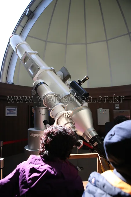 Photo: Korea Tourism Organization Photo Gallery (Cheongyang, Chungcheongnam-do) · KOGL Type 1
| Course (trailhead → summit) | Distance | Elevation gain | Est. time (one-way) | Difficulty | Popularity |
|---|---|---|---|---|---|
| Trail entrance → Chilgapsan Observatory | 8.4km | ↕466m | ~2 hr 53 min | ★★★★☆ | ★★★★★ |
| Dorimsaji-to-summit trailhead → Dorimsaji-to-summit trailhead | 2.58km | ↕423m | ~1 hr 21 min | ★★☆☆☆ | ★★★☆☆ |
| Janggoksa trailhead → Samhyeongjebong–Chilgapsan summit trail entrance | 9.04km | ↕485m | ~3 hr 4 min | ★★★★☆ | ★★★★☆ |
※ Source: Korea Forest Service Hiking & Trekking Support Center, Top 100 Mountains GPX data (distance/elevation/time/difficulty) · Popularity is a reference figure only
Course 1 — Trailhead → Chilgapsan Observatory
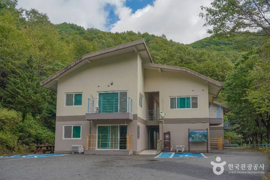
Route: Chilgapsan Rest Stop → Parking Lot Restroom → Chilgapsan Parking Lot → Trail Marker → Trailhead → Fork → Pergola & Benches → Statue of Choi Ik-hyeon → Accessible Restroom → Chilgap Plaza Garden → Chilgapsan Provincial Park Office → Chilgap Plaza → Chilgapsan Provincial Park Information Board → Statue of the Woman Hoeing Beans → Platform & Benches
Getting to the trailhead: This trailhead sits on the Chilgapsan Provincial Park side, and the usual approach is to take an intercity bus to Cheongyang Bus Terminal, then transfer to a local town bus and get off near the Chilgapsan parking lot. If you’re driving, you can use the Chilgapsan Provincial Park parking lot, though it can get crowded on weekends and during peak season.
Highlights & who it suits: This course overlaps with the main sightseeing route through Chilgapsan Provincial Park, passing landmarks and amenities like the Statue of Choi Ik-hyeon and the Statue of the Woman Hoeing Beans — so the start of the hike feels more like a well-groomed park than a mountain trail. Once you pass the trailhead, though, the climb kicks in for real and continues all the way up to the observatory. It’s a good fit for visitors who want to mix in some casual sightseeing with their hike, or for anyone tackling Chilgapsan for the first time.
코스 2 — Dorimsaji-to-Summit Trailhead → Dorimsaji-to-Summit Trailhead
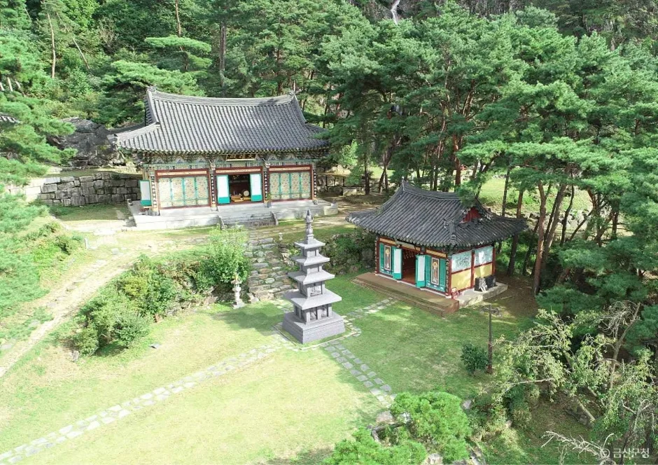
Via: Simple rest shelter → public restroom → small parking area → Dorimsaji-to-summit trailhead → signpost → Dorimsaji Three-Story Stone Pagoda → study hall → Chilgapsan Yongmot Village Garden Restaurant
Getting to the trailhead: Public transit access here is a bit more limited, so most people get in by local bus or taxi from Cheongyang town. Local data confirms there’s a small clearing where you can park, but since it’s not very big, it’s worth arriving with some time to spare.
Highlights & who it’s for: This is the shortest of the three courses, but the slope is fairly steep relative to the net elevation gain, so it feels like a short, intense climb. Since it passes by the Dorimsaji Three-Story Stone Pagoda, you get a bit of historical sightseeing along the way — a good fit for hikers who are short on time but still don’t want to miss out on the summit view.
Course 3 — Janggoksa Trailhead → Samhyeongjebong (Three Brothers Peak) to Chilgapsan Summit Trail Entrance
Route: Janggoksa city bus terminal → bus schedule → Janggoksa Parking Lot 2 → public restroom → Cheongyang County tourist information map → pergola and benches → signpost → fork in the trail → octagonal pavilion → Janggok 1 Parking Lot → Janggoksa trailhead → Chilgapsan restaurant row → Chilgapsan Valley → Multong Kalguksu, Masil Restaurant, Masil Resting Spot → mountain ravine
Getting to the trailhead: Of the three courses, this one offers the best access by public transportation — the Janggoksa city bus terminal is right at the trailhead, so you can start hiking the moment you step off the bus. There are also two parking lots (Janggoksa 1 and 2), making it easy to reach by car as well.
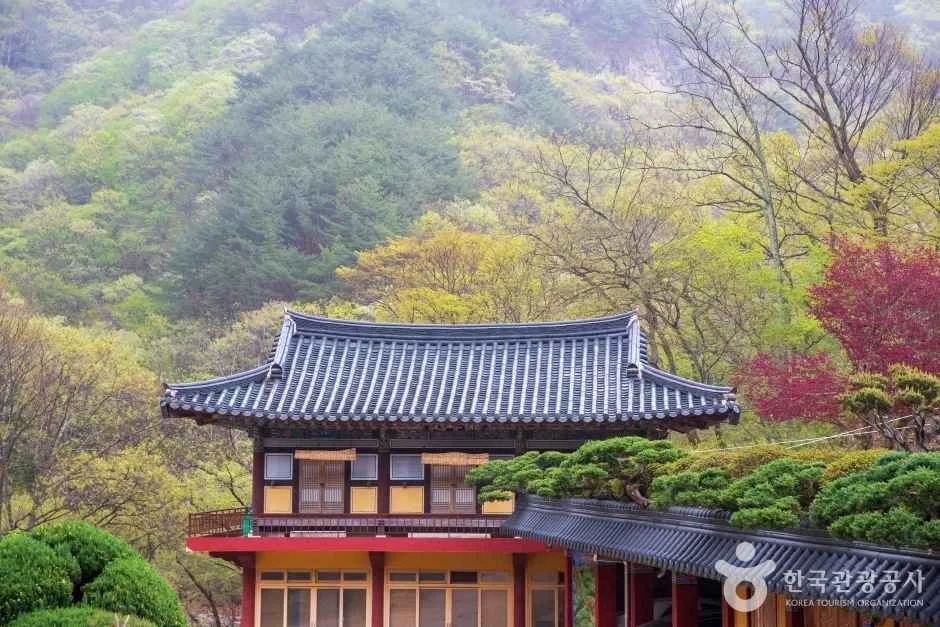
Highlights & who it suits: This is a ridge-traverse course that starts at the historic Janggoksa Temple, crosses over Samhyeongjebong (Three Brothers Peak), and climbs on to the summit — the longest of the three courses in both distance and time. There’s a small restaurant strip along the trail (Chilgapsan restaurant row, Multong Kalguksu, and others), so it’s easy to plan a meal after you come down. This route suits hikers who want to combine a temple visit with a ridge hike, and those with a bit more stamina to spare.
Calluses come with the difficulty — this section is straight translation work, no tool calls needed.
Difficulty, Terrain & Cautions
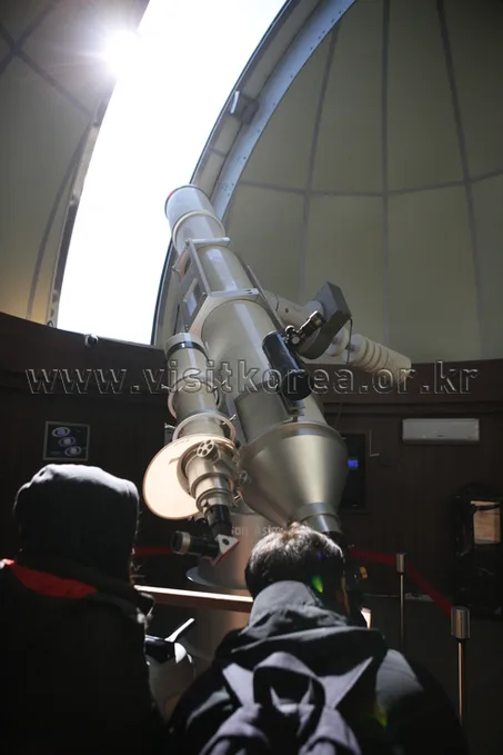 Photo: Korea Tourism Organization Photo Gallery (Cheongyang, Chungcheongnam-do) · KOGL
Chilgapsan has seven registered trail sections within its jurisdiction, and all seven are classified as “Easy” in the data. That said, this is a district-level classification, and the three summit-area routes tracked in the Top 100 Mountains GPX data tell a different story: net elevation gain of 423–485m and one-way distances of 2.58–9.04km, with real-world difficulty varying quite a bit by route. Routes 1 and 3 in particular carry a ★★★★☆ rating, making them tougher than their modest length would suggest. The public data doesn’t break out surface details (rock, decking, etc.), but from what I can tell, it’s mostly dirt trail with some rocky ridge sections near the summit. There are no recorded viewpoints, hazard zones, or shelters in the data, so it’s worth planning ahead for where you’d take cover if the weather turns. In winter, the dirt trail can ice over and get slick, so microspikes are basically essential on the way down — and in rainy weather, watch out for wet fallen leaves, which make the footing even more treacherous.
Distance and Estimated Time
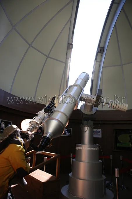 Photo: Korea Tourism Organization Photo Gallery (Cheongyang, Chungcheongnam-do) · KOGL
Chilgapsan’s total trail length within the county — combining all its segments — comes to 21.4km. That’s not the distance of a single course, mind you, but the sum of all 7 registered segments in Cheongyang County. The recorded times, 534 minutes ascending and 373 minutes descending, are likewise cumulative totals across every segment, not the time for any one course — worth keeping straight so you don’t mistake it for an actual hiking duration. Converting that cumulative figure gives an average ascending pace of roughly 25 minutes per km, which is a handy reference point for estimating one-way times on the summit routes. In practice, based on GPX data from the “100 Great Mountains” list, the three summit-area courses run anywhere from about 1 hour 21 minutes one-way (Course 2) to about 3 hours 4 minutes (Course 3), and even round-trip, most are easily doable as a day hike. There’s no overnight shelter registered on the mountain either, which is one more reason to stick with a day hike rather than pushing for some ambitious multi-day traverse.
Getting There (Public Transit & Parking)
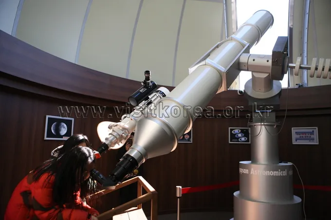 Photo: Korea Tourism Organization Photo Gallery (Cheongyang, Chungcheongnam-do) · KOGL
Near the trailheads of Chilgapsan, you’ll find bus stops at Daechi-ri, Daechi, Janggoksa, and Janggok-ri. From Seoul or the greater capital area, the typical route is to take an express or intercity bus to the Cheongyang terminal (or nearby Daejeon or Gongju), then transfer to a local county bus and get off at a stop near Daechi-ri or Janggoksa. The Janggoksa city bus terminus in particular sits right at the entrance to Course 3, making it a convenient option if you’re relying on public transit. If you’re driving, you can use the Chilgapsan Provincial Park parking lot or the Janggoksa Lots 1 and 2, though public data shows the number of dedicated parking spaces isn’t especially large — so it’s worth arriving with some time to spare during peak season or on weekends. For the most accurate real-time routes and bus schedules, it’s best to search “Chilgapsan Provincial Park” or “Janggoksa” in KakaoMap or Naver Map and use the public transit directions feature.
Season, Weather & Gear
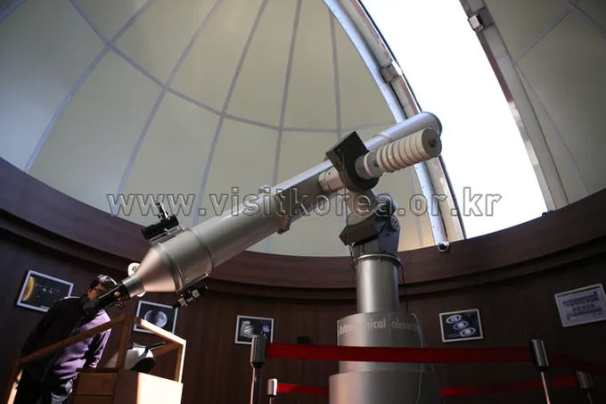 Photo: Korea Tourism Organization Photo Gallery (Cheongyang, Chungcheongnam-do) · KOGL Type 1
The best seasons for hiking Chilgapsan are spring, when the fresh green comes in, and autumn, when the leaves turn — trail conditions tend to be more stable then, and the temperatures are comfortable for hiking. In summer, come prepared for humidity, heat, and sudden showers: bring rain gear and plenty of water. In winter, icy patches on the dirt trail can make footing slippery, so crampons are a must. As for basic gear, I’d recommend hiking boots, a change of clothes, plenty of drinking water (there’s no confirmed water source along the trail, so don’t skip this), a headlamp, and emergency snacks. Since there aren’t any registered shelters along the route, if the weather turns bad, it’s safer to reschedule than to push through the hike.
Tips for International Travelers
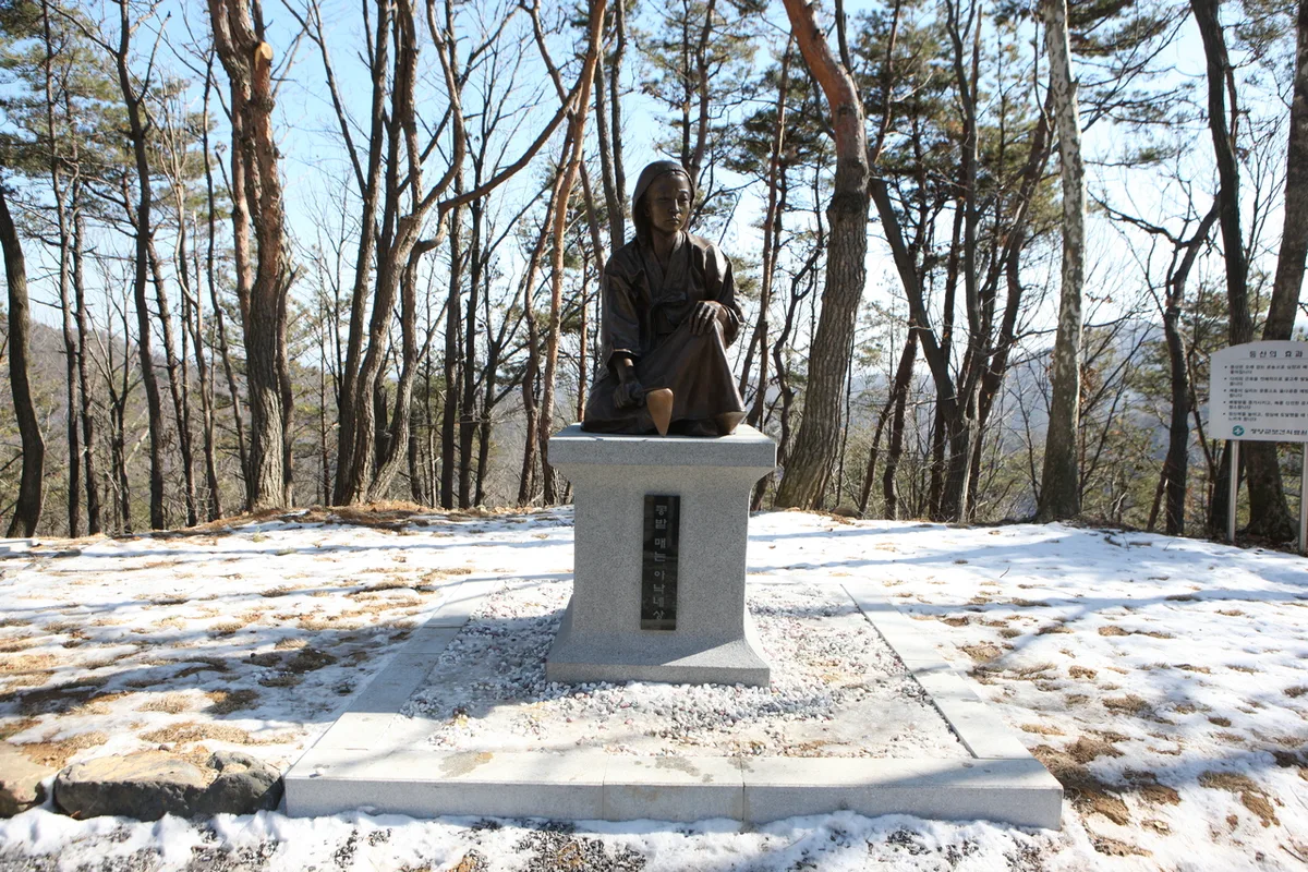 Photo: Korea Tourism Organization Photo Gallery (Cheongyang, Chungcheongnam-do) · KOGL Type 1
Chilgapsan’s romanized name is “Chilgapsan,” and the main trailheads are easiest to reference as the Chilgapsan Provincial Park entrance, the Dorimsaji trailhead, and the Janggoksa temple trailhead. There’s no permit or entrance fee required for the mountain itself, but parking fees may apply within the provincial park area, so it’s worth checking on-site. Public restrooms are available near the main trailheads — at the Chilgapsan parking lot and the Janggoksa Lot 2 parking area, for instance — but there don’t appear to be any drinking fountains or springs partway up the trail, so make sure to bring plenty of your own water. As for maps, Google Maps often falls short on accurate walking and public transit routes within Korea, so I’d strongly recommend using KakaoMap or Naver Map instead to check the actual trails and transit options. On the safety side, cell reception can get spotty in some sections, so it’s a good idea to let family or your accommodation know your route and expected descent time before heading out — and it’s best to avoid hiking after dark.
Nearby Mountains
- Natural rock ridges and pine trees, Gyeryongsan (Daejeon/Gongju) — approx. 29km direct distance
- Rock ridge with Dragon Rock and Fairy Rock, Seodaesan (Geumsan, Chungnam) — approx. 61km direct distance
📍 Ridge After Ridge, Hugging a Reservoir: The 'Alps of Chungnam,' Cheonggyesan in CheongyangLocation
Contact: bumseok.view [at] gmail [dot] com

Comments