Grand Unjangsan: A Ridge Linking Multiple Peaks in Jinan
Hiking · Published 8/12/2026 ·
등산로 트랙·시설 (공공데이터: 전국등산로 공간정보) · 🚩시종점 💧음수대 👁️조망점 🏠대피소 🅿️주차장 ⚠️위험 · 지도 © OpenStreetMap ⤓ GPX 다운로드
At a Glance
| Metric | Rating |
|---|---|
| Accessibility (public transit/parking) | ★☆☆☆☆ |
| Trail difficulty | ★★☆☆☆ |
| Water/springs on the mountain | ★☆☆☆☆ |
| Overnight stay needed? | ★☆☆☆☆ (a day trip is plenty) |
| Seasonal difficulty — Spring | ★★★☆☆ |
| Seasonal difficulty — Summer | ★★★★☆ |
| Seasonal difficulty — Fall | ★★★☆☆ |
| Seasonal difficulty — Winter | ★★★★★ |
※ Source: Korea Forest Service trail spatial data · accessibility and seasonal ratings are for reference only
Overview
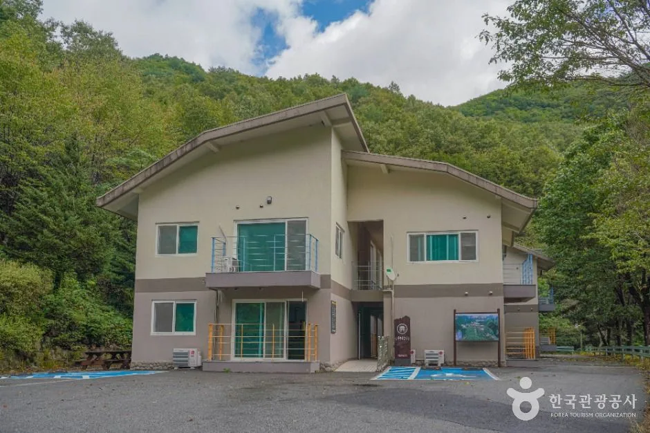 Photo: Korea Tourism Organization Photo Gallery (77 Hyuyangnim-gil, Jeongcheon-myeon, Jinan-gun, Jeollabuk-do) · Public Nuri
Unjangsan sits in Jinan County, Jeollabuk-do, with its summit topping out at around 1,135m by measured elevation. Rising deep in the inland heart of the Honam region, it’s an imposing mountain, and one of its defining features is the string of peaks strung along its summit ridge. The trail difficulty is officially listed as “easy” in the data, but honestly, the main route up to the summit area covers a fair distance with a substantial elevation gain, so it feels tougher than that rating suggests. Round trip, you’re looking at a long day out, so I’d recommend starting early in the morning — though there’s no shelter facility up there, it’s still very doable as a day hike.
Terrain and Ridgeline
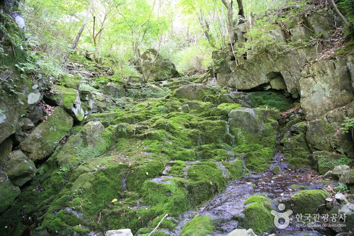 Photo: Korea Tourism Organization photo gallery (Dongsang-myeon, Wanju-gun, Jeollabuk-do) · KOGL
Unjangsan isn’t a single sharp peak — it’s a multi-peak mountain, a whole cluster of summits strung together along a ridge. Pull up the peak data registered in the trail geospatial records and you’ll find Unjangdae (1,129m) at the center, flanked by Samjangbong (1,137m), Gomjigisan (1,095m), Bokdubong (1,033m), and the main Unjangsan summit itself (1,116m). With so many high peaks packed close together, a ridge traverse means constant up-and-down, and since each summit has its own name, it’s worth studying the map before you set out so you don’t lose track of where you are. Overall the trail is a mix of dirt path and rocky ridge, with rock sections showing up as you near the top — the kind of terrain that makes ridge-walking fun, but also demands a bit of extra care.
What the Hike Feels Like
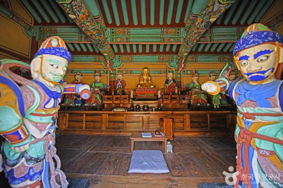 Photo: Korea Tourism Organization Tour Photo Gallery (54 Suam-gil, Jeoncheon-myeon, Jinan-gun, Jeollabuk-do) · KOGL
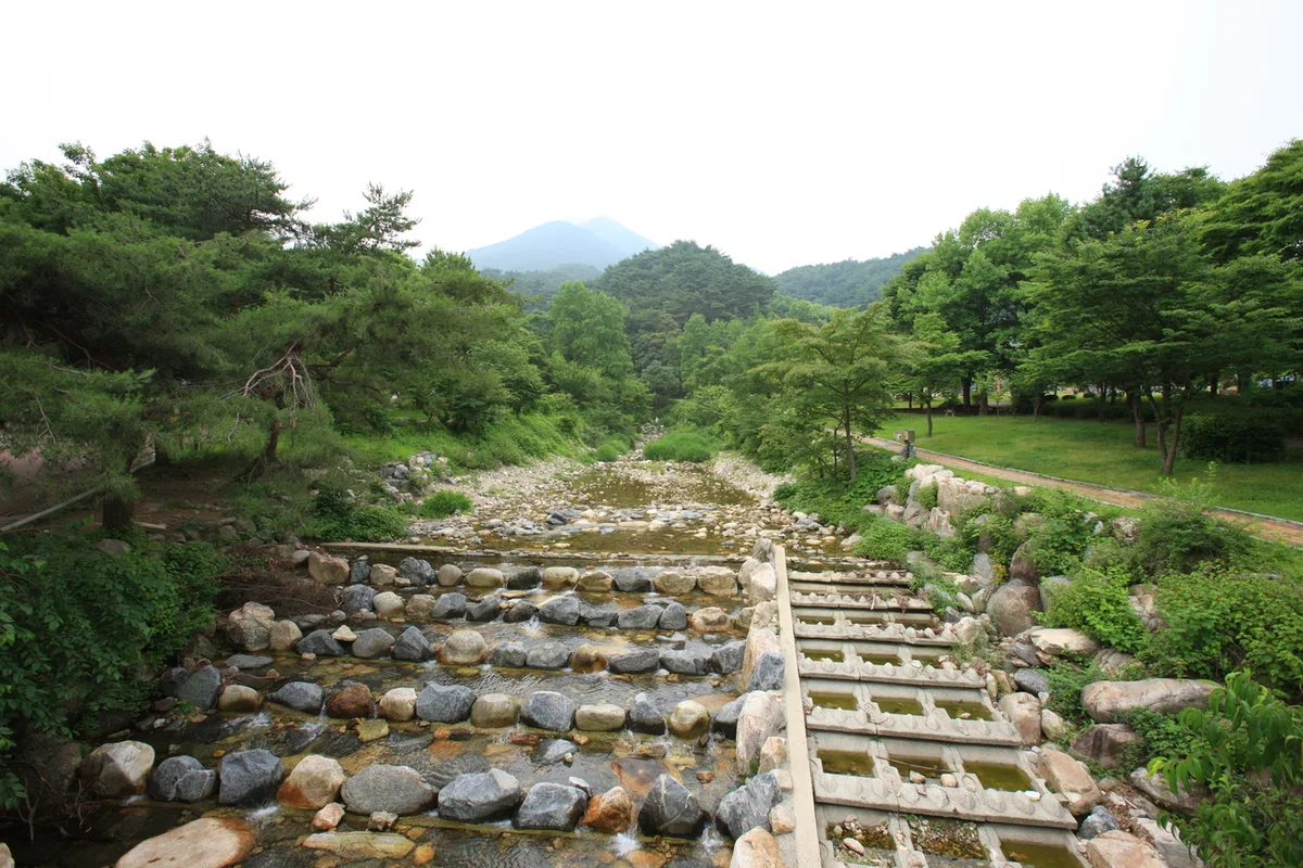
The typical hike starts along a valley trail through the woods, where you’ll feel that cool, damp forest air right away. As you climb, the trees thin out and the view opens up, giving you that open, airy feeling you only get on a ridge. Near the summit there’s usually a rocky section to scramble across, so be ready to use your hands here and there. The seasons really show themselves on this ridge — fresh spring greenery and mountain cherry blossoms, then vivid fall foliage stretching along the crest. Summer hikes tend to wear you out fast thanks to the humidity and sun exposure, while winter brings strong ridge winds and icy patches that keep you on your toes — it’s known as a trail that demands a bit more caution in the cold months.
Main Courses (by Trailhead)
| Course (Trailhead → Summit) | Distance | Elevation Gain | Est. Time (one-way) | Difficulty | Popularity |
|---|---|---|---|---|---|
| Unjangsan Rest Area (Piammokjae) → Unjangsan Seobong (West Peak) | 12.95km | ↕752m | About 4 hr 29 min | ★★★★★ | ★★★★☆ |
※ Source: Korea Mountaineering & Trekking Support Center’s Top 100 Mountains GPX data (distance, elevation, time, difficulty) · Popularity is a reference figure
Route 1 — Unjangsan Rest Area (Piammokjae) → Unjangsan West Peak
Waypoints: Unjangsan Rest Area (Piammokjae) → Unjangsan Rest Area Parking Lot → Restroom → National Point Number → National Point Number → Viewpoint → National Point → Fork → Unjangsan West Peak → Unjangsan → Unjangsan Summit → Shelter → Galkeumijae → Waypoint 32 → Waypoint 33
Getting to the trailhead: The trailhead is Unjangsan Rest Area near Piammokjae. The usual way in by public transit is to take a rural bus toward Jinan-gun or Wanju-gun, get off at a nearby stop, and walk in from there — but buses run infrequently, so it’s worth checking the timetable ahead of time. If you’re driving, there’s generally parking near the rest area, but the trail’s location data doesn’t show any officially registered bus stop or parking lot nearby, so it’s safer to double-check current roads and parking with a map app before you head out.
Highlights & who it’s for: You start out from the rest area on a gentle approach past a restroom and a shelter, but once you’re past Piammokjae the trail climbs steadily all the way up to the West Peak ridge — this is a long haul. The signage marks a viewpoint, so once you’re up on the ridge you’ll hit a spot where the view opens up. From there the route continues over the West Peak to the Unjangsan summit and on down to Galkeumijae, making it a traverse-style route best suited to hikers with the stamina and time to spare. Given the distance and elevation gain, this one’s better suited to hikers with some experience under their belt rather than beginners.
Difficulty, Terrain & Cautions
The local trail data officially lists this route’s top difficulty as “easy,” and doesn’t specify surface conditions separately — but don’t let that fool you. The actual summit course runs 12.95km with 752m of cumulative elevation gain, which by the numbers puts it at a full ★★★★★ difficulty. This is not a light hike, no matter what the official rating says. The course is known to include some rocky ridge and boulder sections, so watch your footing if you’re out there in the rain or in the morning dew — it gets slick. In winter, shaded slopes can ice over, and those stretches can be genuinely dangerous without crampons.
As for facilities, the public data doesn’t show any officially registered viewpoints, hazard zones, or shelters along this route, and there’s no listed water station either — so bring your own water, no exceptions. That said, the trail markers do note a few spots labeled “viewpoint,” so it’s worth keeping an eye out for open views along the ridge.
Distance and Time
The total length of the district’s hiking trails (this is a combined figure across multiple courses, not the distance of a single route) is registered at 2.7km — a figure tallied at the administrative-district level, separate from the summit-area course itself. Adding up ascent time across every segment in the district comes to 101 minutes, with descent at 71 minutes, which works out to an average ascent pace of roughly 37 minutes/km. That pace is best treated as a rough gauge of hiking speed rather than the actual time a full course takes. The main summit-area route (Piamokjae → Seobong) works out to about 4 hours 29 minutes one way, so a round trip could easily run 8–9 hours — an early start is a good idea. Since there’s no shelter confirmed along the way, most people plan this as a there-and-back day hike, and even if you’re stringing together a longer traverse, it’s worth pacing yourself so you’re down before sunset rather than pushing it.
Getting there (public transit & parking)
Unjangsan sits deep inland in Jinan-gun, Jeollabuk-do, and honestly, getting there by public transit alone is a bit of a hassle. The route most commonly recommended: take an express or intercity bus from Seoul, Jeonju, etc. to the Jeonju or Jinan intercity bus terminal, then transfer to a Jinan-gun rural bus (nongeochon beoseu) and get off at a stop near Piammokjae or Unjangsan Resthouse. These rural buses run infrequently, so budget plenty of extra time for the round trip, and definitely double-check the latest timetable before you head out.
If you’re driving, just search “Unjangsan Resthouse” (운장산휴계소) or “Piammokjae” (피암목재) in your navigation app. I’d recommend confirming the actual route and current parking availability on KakaoMap or Naver Map rather than Google Maps — for Korean roads and mountain trails, those two apps are just far more accurate.
Season, Weather & Gear
The most forgiving times to hike this are spring (April–May) and fall (September–November), when temperatures are mild and the views tend to be at their best. In summer, the humidity really saps your energy, so it’s worth starting early in the morning and carrying plenty of water. If you’re out in the rain, watch your footing on the rocky ridge sections — they get slippery fast. Winter brings strong ridge winds and icing, so crampons, gaiters, and a windproof outer layer are essentially non-negotiable, and if you don’t already have solid winter hiking experience, it’s best to skip the longer traverse-style routes that time of year. Across all seasons, you’ll want ankle-supporting hiking boots, more water than you think you need (there are no registered springs along the way, so you have to carry it all yourself), trekking poles, a headlamp, some emergency food, and cold-weather/waterproof clothing.
Tips for foreign travelers
Unjangsan is romanized as “Unjangsan,” and the peaks near the summit are labeled as Unjangdae, Seobong, and Samjangbong. If you’re heading to the main trailhead, using “Piammokjae” will make it easier to communicate with locals. There doesn’t seem to be any permit requirement or entrance fee, but it’s worth checking local signage or municipal notices for the latest access restrictions before you go. Restrooms are reportedly available near the Unjangsan rest area, but there are no registered water fountains or spring water sources along the trail, so make sure to bring plenty of water. For navigation, KakaoMap or Naver Map are far more reliable than Google Maps in Korea’s mountain areas — it’s worth installing one of these beforehand and checking the actual route. Since public transit here runs on a wider schedule and the hike itself is long, plan for a relaxed itinerary, bring a hiking partner if you can, and download offline maps in advance, since cell service can get patchy in the mountains.
Nearby Mountains Worth Checking Out
- Granite cliffs and a cloud bridge — Daedunsan, Chungnam/Jeonbuk border — about 24 km as the crow flies
- Turtle Rock ridgeline and Yeongguksa Temple tucked below — Cheontaesan, Chungbuk — about 32 km as the crow flies
📍 Grand Unjangsan: A Ridge Linking Multiple Peaks in JinanLocation
Contact: bumseok.view [at] gmail [dot] com
Related posts
-

Ridge After Ridge in the Yeongnam Alps: Unmunsan in Cheongdo and Miryang
-
Ridge After Ridge, Hugging a Reservoir: The 'Alps of Chungnam,' Cheonggyesan in Cheongyang
-
Palbongsan in Hongcheon, Gangwon — Eight Rock Peaks and the Haesangul Ridge
-
Mount Yongmun in Gyeonggi: A Thousand-Year-Old Ginkgo and a Rocky Ridge
Comments