Granite Cliffs and a Suspension Bridge: Daedunsan on the Chungnam–Jeonbuk Border
Hiking · Published 7/31/2026 ·
등산로 트랙·시설 (공공데이터: 전국등산로 공간정보) · 🚩시종점 💧음수대 👁️조망점 🏠대피소 🅿️주차장 ⚠️위험 · 지도 © OpenStreetMap ⤓ GPX 다운로드
At a Glance
| Metric | Rating |
|---|---|
| Accessibility (public transit/parking) | ★★☆☆☆ |
| Trail difficulty | ★★☆☆☆ |
| Water sources/springs on the mountain | ★☆☆☆☆ |
| Overnight stay needed? | ★☆☆☆☆ (a day trip is plenty) |
| Seasonal difficulty — Spring | ★★★☆☆ |
| Seasonal difficulty — Summer | ★★★★☆ |
| Seasonal difficulty — Fall | ★★★☆☆ |
| Seasonal difficulty — Winter | ★★★★★ |
※ Source: Korea Forest Service trail spatial data · accessibility and seasonal ratings are for reference only
Overview
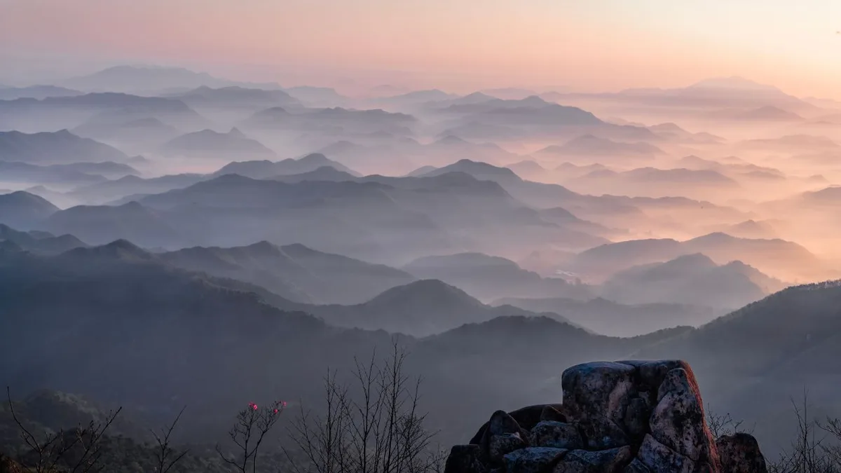 Photo: Korea Tourism Organization Tourist Photo Gallery (Juchon-myeon, Wanju-gun, Jeollabuk-do; Daedunsan Provincial Park) · KOGL
Daedunsan (大屯山) straddles the border between Nonsan and Geumsan counties in South Chungcheong Province and Wanju County in North Jeolla Province. Depending on the source, its summit height is recorded anywhere between 858m and 861m, so for this post I’ll use its two main peaks — Jeongsang (861m) and Daedunsan Peak (860m) — as the reference points. On the whole, it’s very much a rock mountain, defined by craggy ridgelines and striking rock formations rather than the gentler, soil-covered slopes you get elsewhere — and the back half in particular turns into a steep rocky ridge. The route I’m covering today, via Surak-ri, runs about 5.62km one way with a net elevation gain of roughly 598m. That’s not a short outing, but it’s very doable as a there-and-back day hike, so you can leave the overnight gear at home.
Rock Formations and Terrain
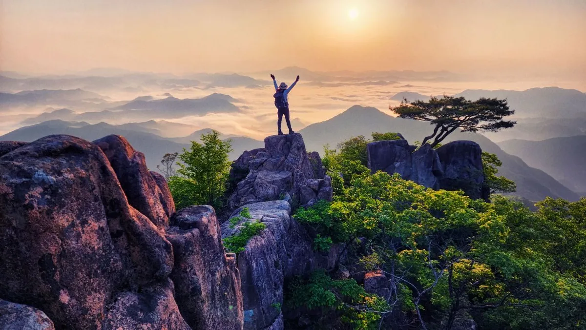 Photo: Korea Tourism Organization Tourism Photo Gallery (Juchang-myeon, Wanju-gun, Jeollabuk-do Special Self-Governing Province, Daedunsan Provincial Park) · Public Nuri
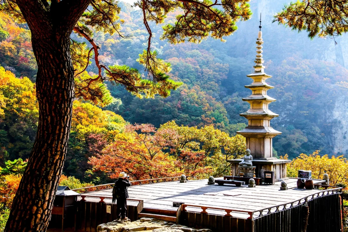
Daedunsan isn’t a single smooth peak — it’s more a chain of rocky crags and ridgelines, with two main summits, Jeongsang (861m) and Daedunsan Peak (860m), rising side by side. The whole mountain is known for its granite cliffs and jagged rock faces, so as you walk the ridgeline you keep running into exposed rock walls and sharp stone peaks at every turn. Straddling the border of South Chungcheong and North Jeolla provinces, the Daedunsan Provincial Park area is generally known for its suspension bridge and cable car facilities — a good reminder that this is a mountain where man-made structures were built alongside the terrain specifically to help hikers get past the rocky ridges. If you approach from the Suraeng-ri side, you’ll notice the trail follows a valley at first, then climbs sharply in the later stretch as it shifts into ridge and rock-face terrain.
Feel of the Trail
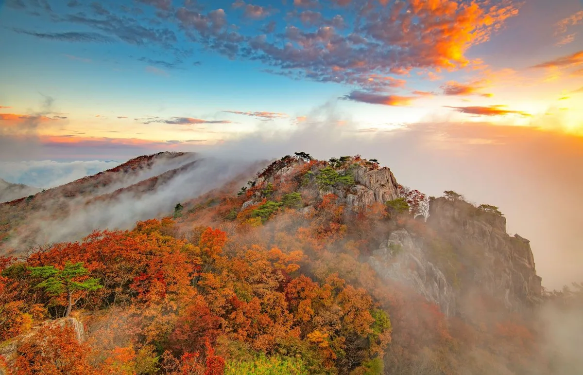 Photo: Korea Tourism Organization Photo Gallery (Juchang-ri, Wanju-gun, Jeollabuk-do) · KOGL
Starting from the Suraк-ri trailhead, the first stretch runs along a gentle forest path beside a valley, so you can walk at an easy pace with the sound of water nearby. Once you’re past the valley section and its trail map and rest area, the slope starts to build gradually, and after the provincial park visitor center it seems the trail settles into a steady, serious climb toward the ridge. The back half mixes rocky ridgelines with steep pitches, and the closer you get to the summit, the more this stretch delivers that classic rocky-peak feeling — wide-open views in every direction. It’s widely known for fresh spring greenery paired with valley streams, and for the striking ridge views set against autumn foliage. Just keep in mind the shade and humidity of the valley section in summer, and the wind and icy patches along the ridge and rock sections in winter.
Main Trails (by Trailhead)
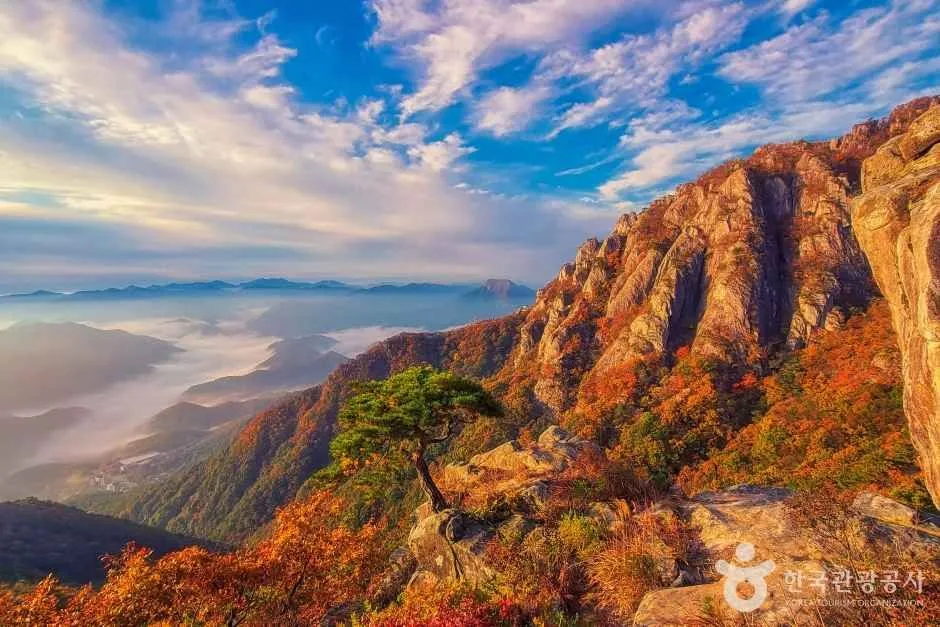 Photo: Korea Tourism Organization Photo Gallery (Juncheon-myeon, Wanju-gun, Jeollabuk-do) · KOGL
| Trail (Trailhead → Summit) | Distance | Elevation Gain | Est. Time (One-way) | Difficulty | Popularity |
|---|---|---|---|---|---|
| Suraklli Bus Stop → Summit | 5.62km | ↕598m | About 2 hr 24 min | ★★★★☆ | ★★★☆☆ |
※ Source: Korea Forest Service Trekking Support Center’s Top 100 Mountains GPX data (distance, elevation, time, difficulty) · Popularity rating is for reference only
Course 1 — Suraklli Bus Stop → Summit
Waypoints: Suraklli Bus Stop → Suraklli Terminus Restrooms → Daedunsan Restaurant Snack Shop → Geumgang Restaurant → Surak Valley → Surak Valley Parking Lot → Surak Valley Parking Lot Restrooms → Trail Information Board → Pavilion Above the Parking Lot → Fork in the Trail → Daedunsan Provincial Park Visitor Support Center → Seungjeon Bridge → Midpoint Rest Area → Firefly Habitat (a spot whose exact labeling still needs double-checking) → Daedunsan Victory Tower Parking Lot
Getting to the trailhead: There appear to be several bus stops near Suraklli Bus Stop — Suraklli, Daedunsan Surak Valley, and Surak 1-ri — so getting here by public transit looks doable. The public data doesn’t list a registered parking lot POI for this area, but since the actual route notes a spot called “Surak Valley Parking Lot,” there’s likely some small parking area in real life even if it’s not officially catalogued. I’d recommend double-checking exact parking availability and capacity on a map app before you head out.
Highlights and who it’s for: The early stretch along the valley has a gentle grade, so it’s a nice way to warm up, but once you pass the visitor support center and Seungjeon Bridge, the trail turns noticeably steeper for the rest of the climb. With a one-way distance of 5.62km and 598m of net elevation gain, this isn’t a short outing — it suits hikers with some prior experience who can comfortably handle 3-4+ hours on their feet. The valley entrance is easy enough for families to enjoy casually, but reaching the summit means being physically ready for the rocky, steep terrain in the second half.
Difficulty, Terrain & Cautions
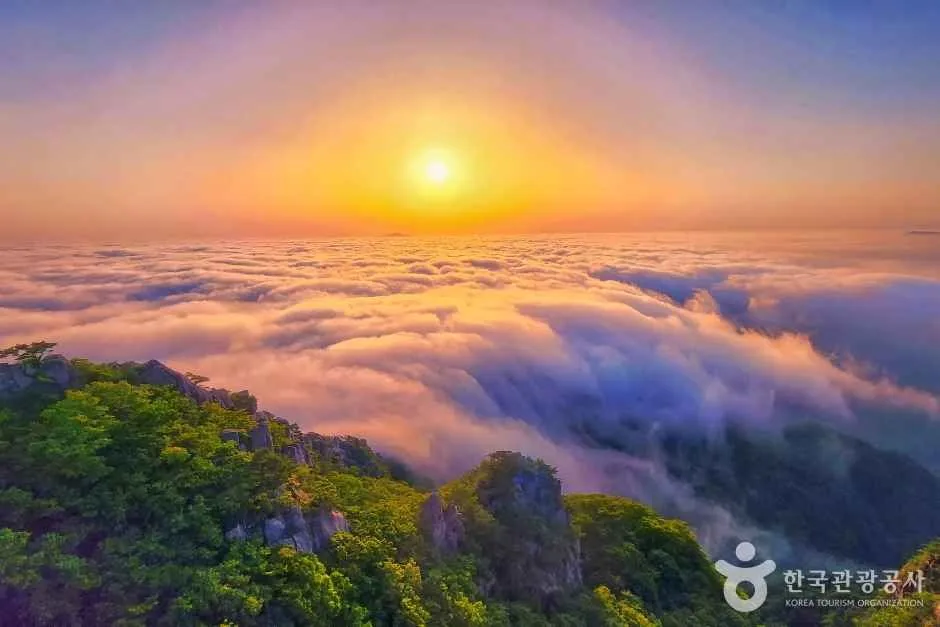 Photo: Korea Tourism Organization Photo Gallery (Juchang-myeon, Wanju-gun, Jeollabuk-do) · KOGL Type 1
According to the Korea Forest Service’s trail spatial data, the highest difficulty rating registered for this area (the Surak-ri section) is “Easy” — but that’s a blanket rating covering the whole administrative-dong section, not the actual climb. Based on the GPX track that follows the real route up to the summit area, factoring in net elevation gain and distance, the difficulty works out closer to 4 out of 5 stars (★★★★☆). The public data doesn’t list surface-type info for this section (it’s marked ”-”), but since Daedunsan is very much a rock mountain by nature, you can expect exposed rock faces and stony paths on the upper ridge and summit sections. Per the public data, this section has zero registered hazard zones, zero viewpoints, zero shelters, zero water stations, and zero registered trailhead/exit POIs — so don’t expect much in the way of facilities along the way. The rocky sections get notably slippery after rain, and in winter, ice can linger on the shaded parts of the ridge, so take extra care right after rainfall or during the colder months.
The in-area sections registered in the Korea Forest Service’s trail spatial data are tallied below by administrative dong (Surak-ri) — note this is a separate statistic from the GPX-measured route above (5.62km); it reflects the Forest Service’s total managed trail length for the area.
| Section (by administrative dong) | Total length | Difficulty | Surface |
|---|---|---|---|
| Surak-ri section | 2.14km | Easy | - |
Distance and Estimated Time
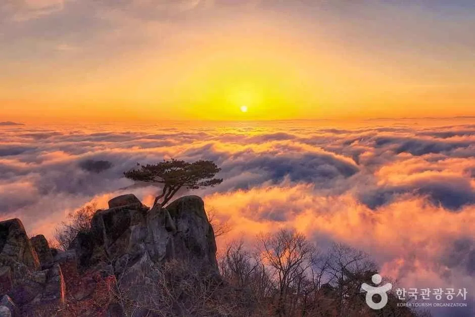 Photo: Korea Tourism Organization Photo Gallery (Juchang-myeon, Wanju-gun, Jeollabuk-do) · Public Nuri
From Suraknri bus stop to the summit, it’s about 5.62 km one way with a net elevation gain of roughly 598m — figure on somewhere around 4 to 5 hours for the round trip, though of course that’ll shift depending on your fitness and how many breaks you take. The Korea Forest Service’s trail data logs 80 minutes up and 56 minutes down, cumulative across the entire trail network in the area, which works out to an average uphill pace of about 37 minutes/km. That figure is just a reference number aggregated across all the trails in the district, though — it’s calculated separately from the roughly 2 hours 24 minutes one-way time from the actual GPX track above, so don’t mix the two up. All in all, the Suraknri course on Daedunsan is a solid day-hike distance — no need to plan for an overnight stay or count on using a shelter along the way.
Getting there (public transit & parking)
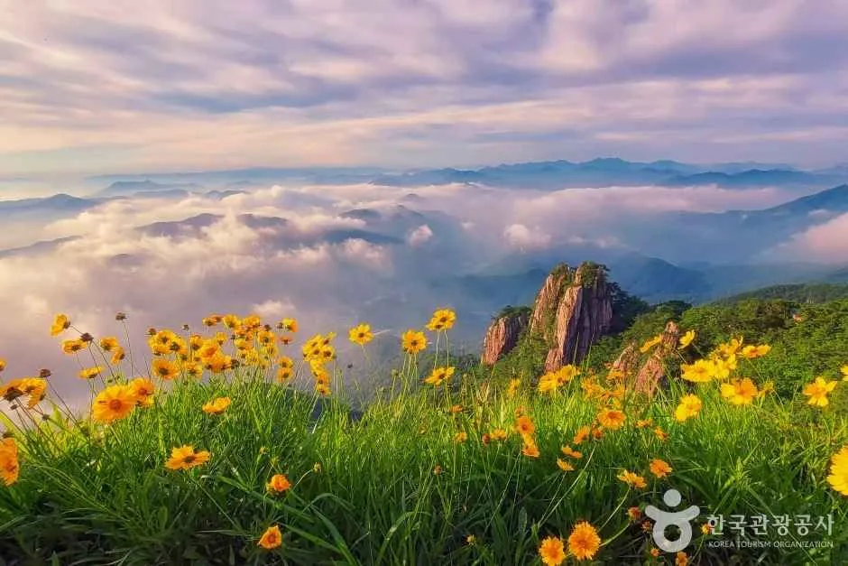 Photo: Korea Tourism Organization photo gallery (Juyang-myeon, Wanju-gun, Jeollabuk-do) · KOGL
The usual way to reach Daedunsan is to take an intercity or express bus into Daejeon or Jeonju, then transfer to a local or village bus heading toward the mountain. Near the Suraк-ri trailhead there are a few bus stops — Suraк-ri, Daedunsan Suraк Valley, and Suraк 1-ri among them — so you can get off at whichever is closest and walk the rest of the way to the trail entrance. Bus schedules and transfer routes can change, so before you head out, it’s worth double-checking real-time routes and timetables on KakaoMap or Naver Map’s transit directions. If you’re driving, there’s no officially registered parking lot in the public data, but there seems to be a small parking area near Suraк Valley — better to check the local signage or recent reviews on your map app to be safe.
Season, Weather, and Gear
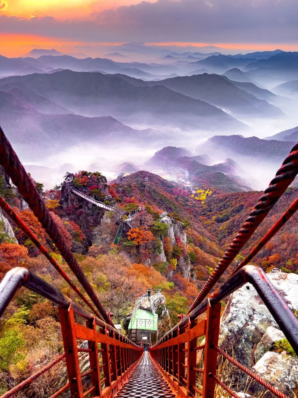 Photo: Korea Tourism Organization photo gallery (Juksan-myeon, Wanju-gun, Jeollabuk-do) · KOGL Type 1
It’s common knowledge that Daedunsan draws the biggest crowds during spring’s fresh greenery and fall’s foliage season — and honestly, those two seasons are the most pleasant times to hike it anyway. In summer, watch out for the humidity and heat along the valley sections, plus slippery footing on the rocky ridges if it rains. In winter, you’ll want to be ready for strong winds and icy patches up on the ridgeline and near the summit — crampons and windproof gear aren’t optional there. As for basic gear, I’d recommend ankle-supporting hiking boots, at least 1L of water (there’s no water source on the trail, so you have to bring your own), trekking poles, and a waterproof jacket for rain. In winter, add crampons and warm gloves to that list. There are a few spots on the rocky ridge section near the end where you’ll need to use your hands, so gloves come in handy there too.
Foreign Traveler Tips
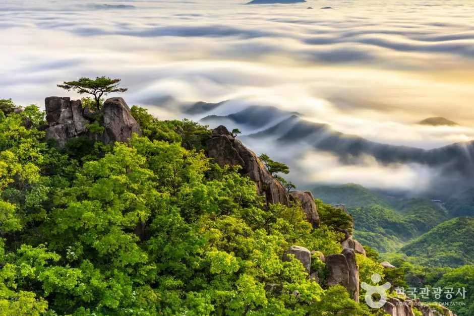 Photo: Korea Tourism Organization photo gallery (Wanju-gun, Jeollabuk-do) · KOGL
The Romanized name for Daedunsan is “Daedunsan,” and the summit may be labeled “Jeongsang” or, on trail signs, “Daedunsan Peak.” For the trailhead at Surak-ri, just search for the “Surak-ri” stop (though it’s always best to go with whatever romanization is posted on the actual signage). There’s been a broader trend lately of entrance fees being dropped at various national and provincial parks, and Daedunsan Provincial Park may be part of that — but rules and fees change, so it’s worth double-checking through an official channel before you go. Restrooms show up near the Surak-ri trail end and the Surak Valley parking lot (based on the GPX waypoints), but the data shows zero drinking fountains anywhere along the trail itself — so bring plenty of water. Google Maps tends to be unreliable for Korean hiking trails, so I’d recommend KakaoMap or Naver Map instead for actual trail routes and public transit schedules. The rocky ridge section in the later part of the hike gets genuinely risky in rain or icy conditions, so don’t push it if the weather’s bad, and if you’re hiking when daylight is short, give yourself extra buffer time for the descent.
Nearby Peaks Worth Exploring
- Seodaesan Mountain in Geumsan, Chungnam — the jagged Dragon Rock and Fairy Rock ridge — about 23km away, as the crow flies
- Cheontaesan Mountain in Cheongju, Chungbuk — Turtle Rock crag and home to Yeongguksa Temple — about 26km away, as the crow flies
- Gyeryongsan Mountain spanning Daejeon and Gongju — a natural ridge of pines and rock formations — about 27km away, as the crow flies
📍 Granite Cliffs and a Suspension Bridge: Daedunsan on the Chungnam–Jeonbuk BorderLocation
Contact: bumseok.view [at] gmail [dot] com
Comments