Thrill of the Sky Bridge: Cheongnyangsan's Twelve Rock Peaks
Hiking · Published 7/31/2026 ·
등산로 트랙·시설 (공공데이터: 전국등산로 공간정보) · 🚩시종점 💧음수대 👁️조망점 🏠대피소 🅿️주차장 ⚠️위험 · 지도 © OpenStreetMap ⤓ GPX 다운로드
At a Glance
| Metric | Rating |
|---|---|
| ① Accessibility (transit/parking) | ★☆☆☆☆ |
| ② Trail difficulty | ★★★☆☆ |
| ③ Water sources on the mountain | ★☆☆☆☆ |
| ④ Overnight stay needed | ★☆☆☆☆ (a day trip is plenty) |
| ⑤ Seasonal difficulty – Spring | ★★☆☆☆ |
| ⑤ Seasonal difficulty – Summer | ★★★☆☆ |
| ⑤ Seasonal difficulty – Fall | ★★☆☆☆ |
| ⑤ Seasonal difficulty – Winter | ★★★★☆ |
※ Source: Korea Forest Service trail geospatial data · accessibility and seasonal ratings are for reference only
Overview
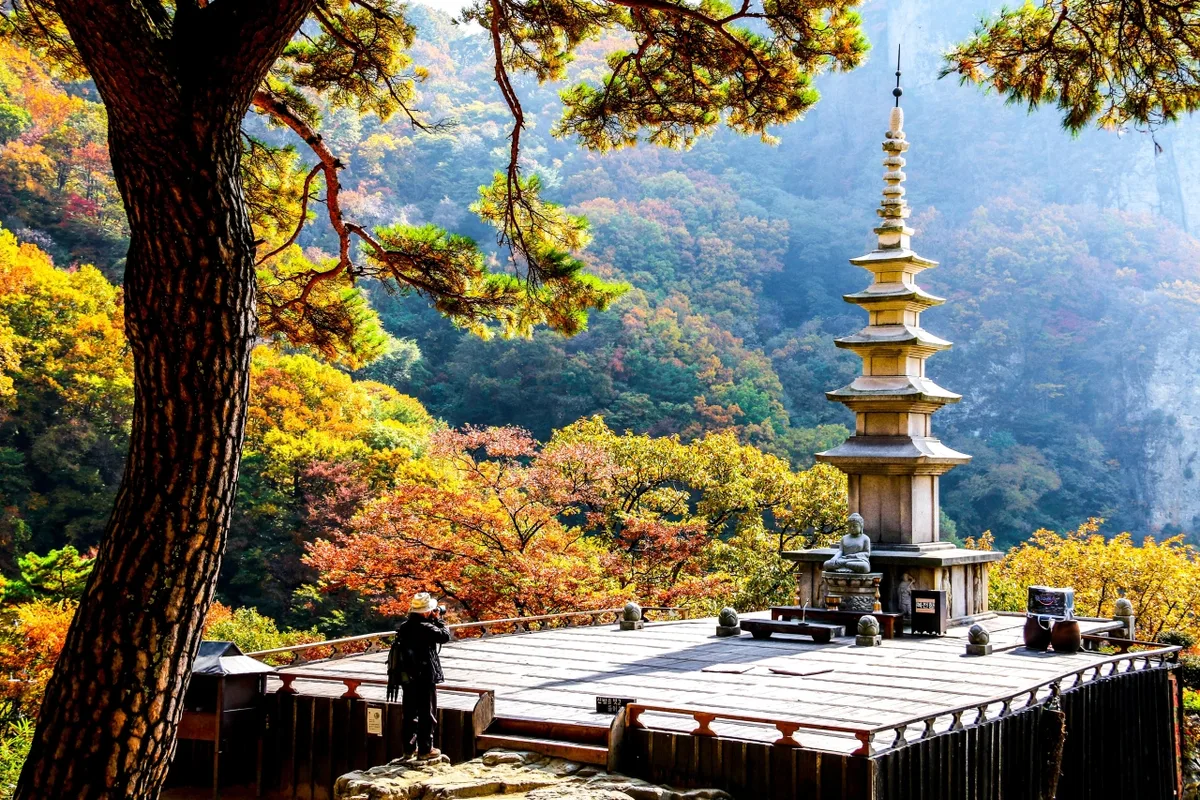 Photo: Korea Tourism Organization Photo Gallery (Bonghwa-gun, Gyeongsangbuk-do) · KOGL Type 1
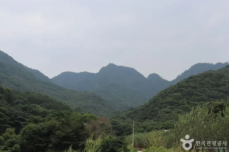
Cheongnyangsan (靑凉山) sits in Bonghwa-gun, Gyeongsangbuk-do. Its highest peak, Jangin-bong, stands 869m, though public GPX trail data puts the highest recorded elevation at 882m. Rock peaks rise along the upper Nakdong River like a folding screen, giving the mountain a striking profile well beyond what its size would suggest, and it’s managed as a provincial park. Overall difficulty is rated “moderate,” and the main route to the summit area takes roughly two hours one way, making it an easy day hike for most people. That said, there are steep rocky ridge sections scattered throughout, so it suits hikers with some prior experience better than complete beginners.
Peaks and Terrain
Cheongnyangsan isn’t your typical soil-covered mountain — it’s a classic “bone mountain” (골산), defined by bare rock peaks rather than dirt slopes. Along its ridgeline you’ll find five or more named summits, starting with the main peak, Jangin-bong (869m), and continuing through Chukyung-bong (listed at 845.2m, though some data puts it at 875m), Jaso-bong (also called Bosal-bong, listed at 840m/850m), Yeonjeok-bong (listed at 846m/852m), and Takpil-bong (836m). The peaks carry names like Takpil-bong (“ink-brush tip”), Yeonjeok-bong (“water dropper”), and Bosal-bong (“bodhisattva”) because this mountain has long been known as a place where Confucian scholars once studied — which is also why it’s commonly nicknamed the “Twelve Peaks of Cheongnyangsan.” Much of the ridge is sheer rock face, so there are plenty of stretches with wide-open views, and partway up the mountain, temple structures like Cheongnyangsa and Eupjinjeon blend into the rocky terrain to create a striking landscape all their own. The valley sections are relatively gentle, but as you climb toward the summit, the terrain turns into the rugged rock ridges and steep grades typical of a true rock mountain.
Feel of the Hike
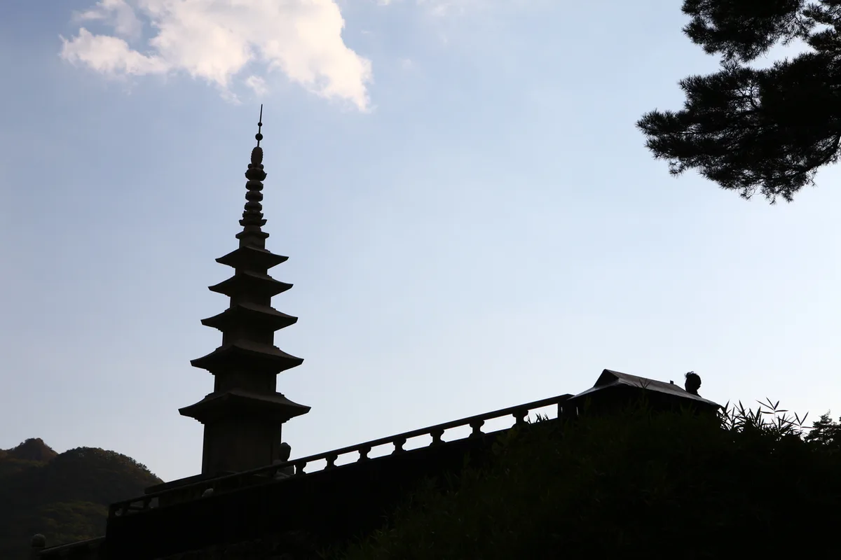 Photo: Korea Tourism Organization photo gallery (Bonghwa-gun, Gyeongsangbuk-do) · KOGL
A typical hike up Cheongryangsan starts with a wooded trail near the entrance and gradually opens onto a rocky ridge with wider views. Early on, you’re walking through dense forest along the valley and around the temple grounds, but past the midpoint, rocky ridgelines with ropes and stairs start showing up, and the difficulty picks up a notch. The Hanuldari (Sky Bridge) section in particular is a suspension bridge stretched across a gorge — it’s got real height to it, so crossing back and forth gives you a bit of a thrill along with that open, sweeping view straight down into the valley below. Spring is said to be especially memorable for the fresh green foliage and the quiet, peaceful mood around the temple, while fall stands out for the view of rocky peaks mixed with autumn colors. Overall, the course blends forest trails, valley paths, and rocky ridge views in a good balance, which is why it’s considered a hike that never really gets boring.
Main Trails by Trailhead
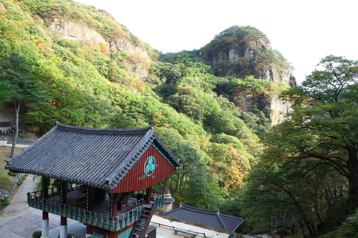 Photo: Korea Tourism Organization Tourism Photo Gallery (Bonghwa-gun, Gyeongsangbuk-do) · KOGL (Korea Open Government License)
| Trail (trailhead → summit) | Distance | Elevation gain | Est. one-way time | Difficulty | Popularity |
|---|---|---|---|---|---|
| Sky Bridge entrance → Jangin-bong Peak | 4.94km | ↕647m | ~2h 19min | ★★★★☆ | ★★★★★ |
| Fortress entrance → Bukmunji Lookout | 6.72km | ↕458m | ~2h 27min | ★★★★☆ | ★★★☆☆ |
| Jasobong entrance (GPS point) → Eungjinjeon Trail Lookout | 4.68km | ↕564m | ~2h 7min | ★★★☆☆ | ★★★★☆ |
※ Source: Korea Forest Service Mountain Trekking Support Center, GPX data for the 100 Great Mountains (distance/elevation/time/difficulty) · popularity ratings are for reference only
Course 1 — Sky Bridge Entrance → Jangin Peak
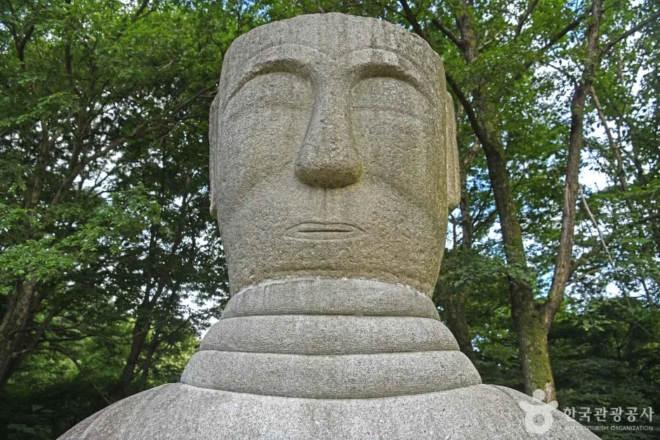
Route: Cheongnyangsa Temple scenery → Totem Pole and the Poet → Bonghwa Cheongnyangjeongsa → Bench → Restroom → Spring (Cheongnyangsa restroom) → Cheongnyangsa Temple → Fork in the trail → Cheongnyangsa spring → Cheongnyangsa garden → Cheongnyangsa Five-Story Stone Pagoda → Peak views → Sky Bridge entrance → Cheongnyangsan Sky Bridge → Sky Bridge scenery
Getting to the trailhead: Most people reach the Sky Bridge entrance from the entrance of Cheongnyangsan Provincial Park. Since there’s no subway access out here, the usual approach is to take an intercity or local bus into Bonghwa or Andong, then finish the trip on foot or by taxi. If you’re driving, you can usually find parking near the provincial park, but it does fill up on weekends and during peak season, so it’s worth giving yourself extra time to arrive.
Highlights and who it’s for: This course — passing through Cheongnyangsa Temple, crossing the Sky Bridge, and climbing on up to the summit of Jangin Peak — is the single most iconic stretch of Cheongnyangsan. You get to wander the temple grounds for a bit of cultural sightseeing, then cross the Sky Bridge spanning the gorge for a genuinely thrilling view, before finishing with a rocky climb to the top. It’s a great fit if you want your hike to double as sightseeing. That said, there’s a decent elevation gain and a fair stretch of rocky terrain between the Sky Bridge and the summit, so you’ll want some basic fitness in your legs before tackling it.
코스 2 — 산성입구 → 북문지 전망대
Waypoints: Sanseong-ipgu → restrooms at Sanseong-ipgu → trailhead at Sanseong-ipgu → Sanseong-ipgu rest area → fork in the trail → Milseongdae viewpoint → view of Cheongnyangsa and Eungjinjeon → Bukmunji overlook → GPS location → Chukyungbong (elev. 845.2m) → trail exit at Sanseong-ipgu → Geumtangbong and Yeonhwabong → Ipseok rest area → Cheongnyangsan rest stop and snack shop
Getting to the trailhead: Like the other routes, Sanseong-ipgu is better known as a trailhead you drive to rather than one you reach by bus. There’s a rest stop and snack shop nearby, handy for grabbing a quick bite or picking up info before or after the hike, and restrooms are confirmed to be right at the entrance. Public transit options can shift depending on local bus schedules, so it’s worth checking a map app for the latest info before you go.
What it’s like, and who it’s for: Of the three courses, this one’s the longest, and it strings together several scenic overlooks — Milseongdae, the Bukmunji viewpoint — as you traverse the ridge all the way to Chukyungbong, almost like a proper ridge-walk rather than a simple out-and-back to a summit. There’s a spot along the ridge where you can look down on Cheongnyangsa and Eungjinjeon, making this the best of the three for taking in the full shape of Cheongnyangsan. If you’re after the satisfaction of a ridge traverse rather than just bagging a peak and heading back down, this is the one I’d point you to. Given the distance, though, pace yourself and save some energy for the second half.
Course 3 — Jasobong Trailhead Location Info → Eungjinjeon Trail Lookout
Waypoints: Fall-risk warning → Fork in the trail → Eungjinjeon Trail Lookout → Fall danger → Eungjinjeon → Gyeongyudae (in front of Eungjinjeon’s main hall) → Punghyeoldae → Trail lookout → Punghyeoldae Lookout → Chongmyeongsu → Eopungdae → Fall danger, no entry → Kimsaeng Cave → Kimsaeng Falls → Yeonhwabong viewpoint
Getting to the trailhead: The Jasobong-side trailhead also lies within Cheongnyangsan Provincial Park, and it’s known for being noticeably quieter than the other two courses. Getting there usually means driving yourself or taking a taxi rather than public transit.
Highlights and who it’s for: The standout feature of this course is that it passes by a string of well-known spots — Eungjinjeon, Punghyeoldae, Kimsaeng Cave, Kimsaeng Falls — making it the richest of the three courses for cultural and natural sights. That said, the trail markers repeatedly warn of “fall risk” and “fall danger, no entry,” so there are stretches running right along the cliff edge that call for real caution — don’t get so absorbed in taking photos that you miss your footing. This course suits anyone who wants to combine sightseeing with hiking, and especially those looking for a relatively gentle overall elevation change.
Difficulty, Terrain & Cautions
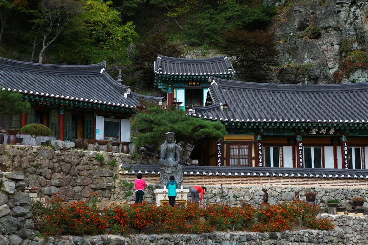 Photo: Korea Tourism Organization Tourism Photo Gallery (Bonghwa-gun, Gyeongsangbuk-do) · KOGL Type 1
According to the Korea Forest Service’s trail spatial data, the trails within Cheongnyangsan are registered in 5 sections by administrative district, for a total length of 17.17 km (the table below reflects administrative-zone divisions, not the actual names of the hiking courses).
| Section | Total Length | Difficulty | Surface |
|---|---|---|---|
| (unnamed section) | 14.67km | Easy/Moderate | - |
| Dongchun-dong section | 1.51km | Easy/Moderate | - |
| Ongnyeon-dong section | 0.49km | Easy | - |
| Cheonghak-dong section | 0.39km | Easy | - |
| City Museum section | 0.11km | Easy | - |
Surface conditions aren’t separately logged in the data, but the summit-area routes cross a lot of rocky ridge terrain, so the actual difficulty can feel a notch higher than the “Moderate” label suggests. Rain or winter ice make the rock surfaces especially slick, so extra caution is warranted there. Trail markers along the route repeatedly warn “Danger of Falling,” “Fall Risk,” and “Fall Risk – No Entry,” mostly around the cliff sections near Eungjinjeon, Punghyeoldae, and Eopungdae. The public data shows no separately tallied hazard zones, viewpoints, shelters, or drinking-water stations (all listed as zero), so it’s worth planning your own water and rest stops ahead of time.
Distance and Time Required
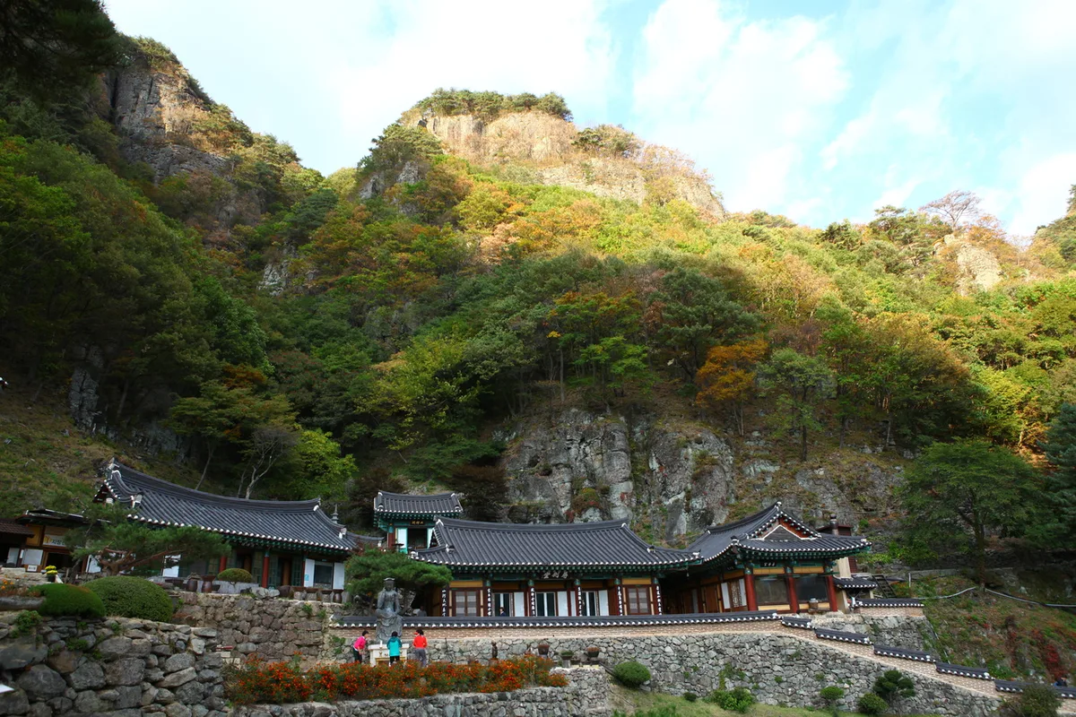 Photo: Korea Tourism Organization Photo Gallery (Bonghwa-gun, Gyeongsangbuk-do) · KOGL Type 1
Based on the total combined length of the trails within Cheongnyangsan (17.17 km across five sections), the data shows roughly 400 minutes going up and about 168 minutes coming down. Keep in mind this is a cumulative figure across all the trails in the area, not the time for any single course — don’t mistake it for that. Converting that to a per-distance figure works out to an average uphill pace of around 23 minutes per kilometer. For the individual routes, one-way times come out to roughly 2 hours 19 minutes from the Haneuldari (Sky Bridge) entrance to Jangin-bong Peak, about 2 hours 27 minutes from the fortress entrance to the Bukmunji (North Gate site) viewpoint, and around 2 hours 7 minutes from the Jasobong entrance to the Eungjinjeon trail viewpoint — each of these is doable as a round trip in roughly 4 to 5 hours. Since there’s no shelter along the way and the total trail length is only about 17 km, Cheongnyangsan is very much a day-hike mountain — no need for an overnight stay. That said, if you’re planning to link several routes into a full traverse, or want to take your time visiting the temples and scenic spots along the way, it’s worth padding your schedule with some extra time.
Getting There (Public Transit & Parking)
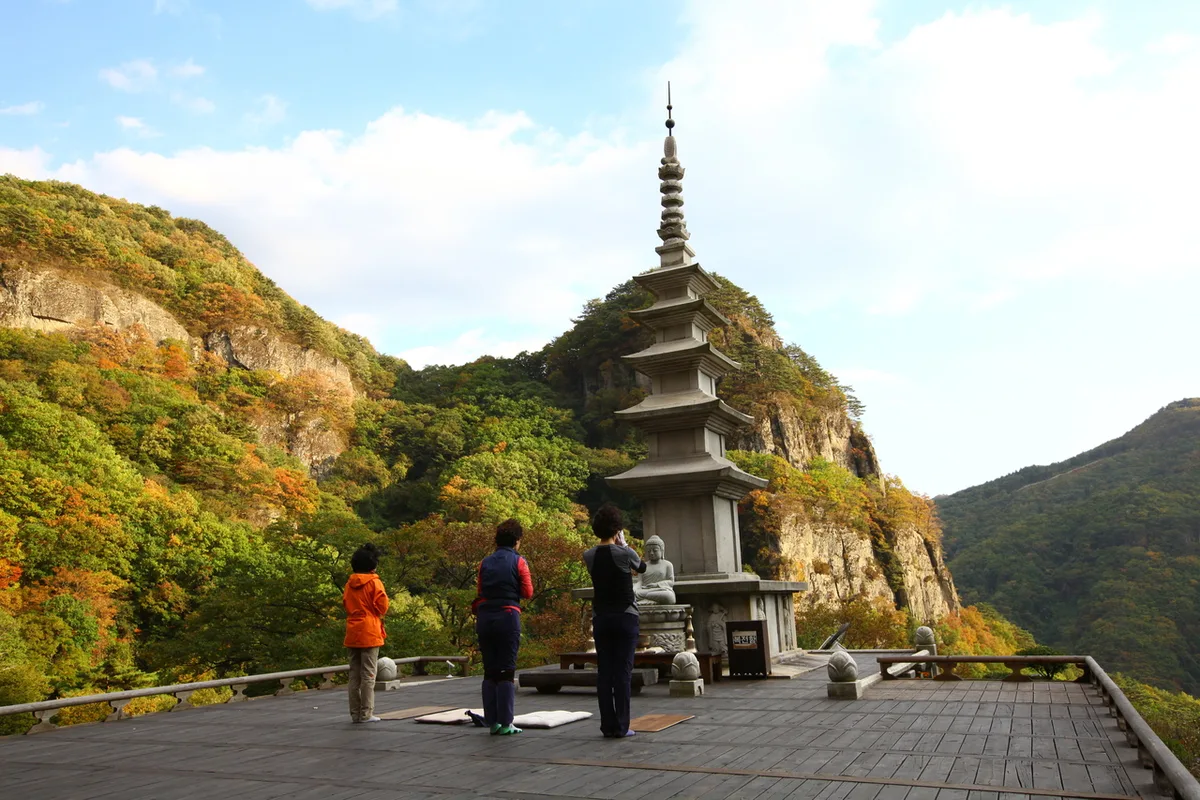 Photo: Korea Tourism Organization photo gallery (Bonghwa-gun, Gyeongsangbuk-do) · Public Nuri
Cheongnyangsan isn’t reachable by subway, so the usual route from Seoul and the greater metro area is to take the KTX or an intercity bus to Andong or Bonghwa first, then transfer to a local city or rural bus to get to the entrance of the mountain. If you’re driving, the typical route is via the Central Inland Expressway (Jungang Expressway) and into the access road for the provincial park. The public data doesn’t include a separate list of nearby bus stops or parking lots, so I’d strongly recommend double-checking actual stop locations and parking availability on KakaoMap or Naver Map before you go. Google Maps tends to be unreliable for roads and public transit in Korea, so it’s safer to lean on a domestic map app alongside it.
Season, Weather & Gear
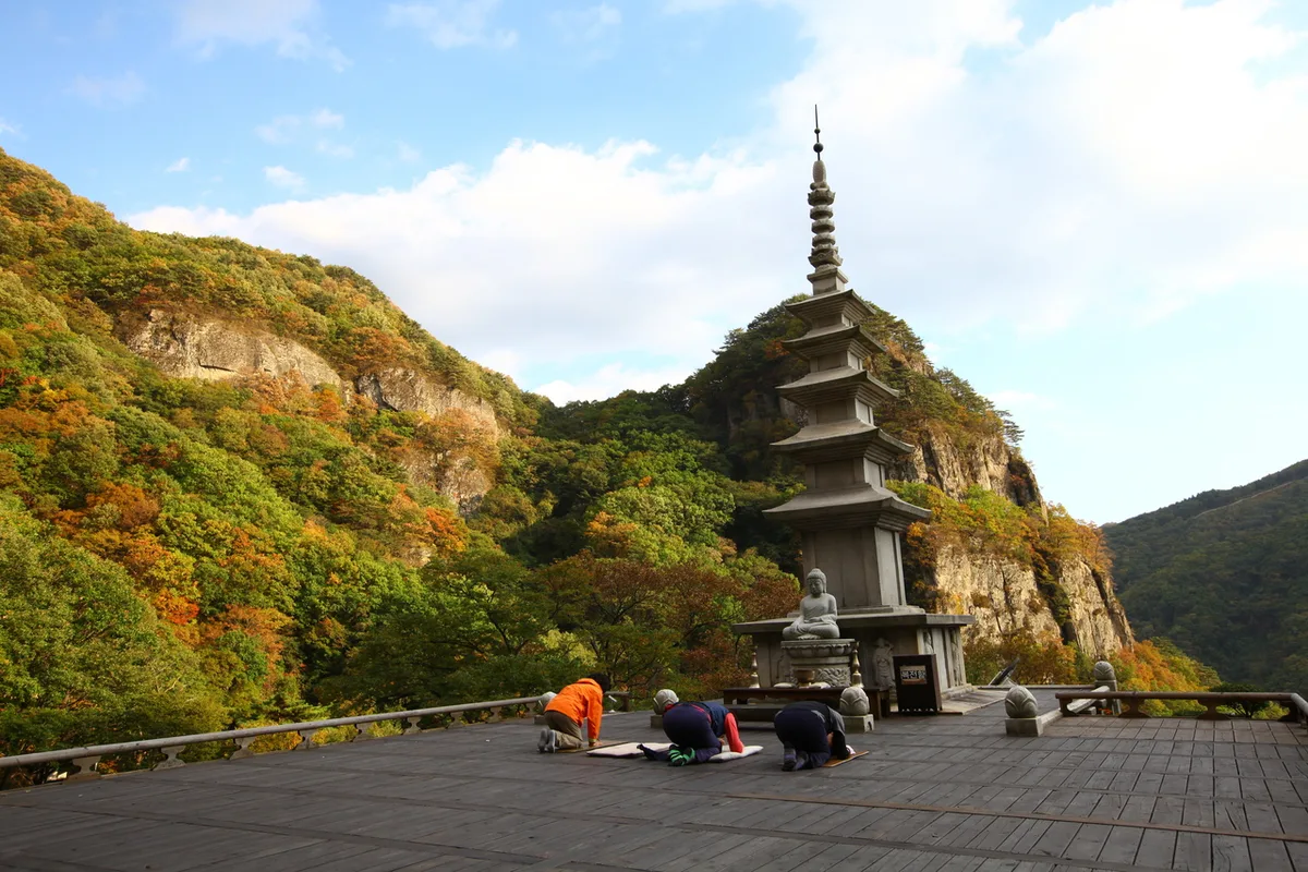 Photo: Korea Tourism Organization photo gallery (Bonghwa-gun, Gyeongsangbuk-do) · KOGL
Cheongnyangsan is best visited in spring, when the fresh greenery comes in, or in fall for the foliage. Summer brings sweltering heat and — since there’s basically nowhere on the mountain to refill water — a real risk of dehydration if you’re not careful. In winter, ice on the rocky ridge sections makes the trail feel a lot tougher than it looks on paper, so you’ll want crampons, gaiters, and other cold-weather gear. As for basics, I’d pack ankle-supporting hiking boots, at least 1 to 1.5 liters of water (non-negotiable, since there’s essentially no potable water source along the route), rain gear in case the weather turns, trekking poles, and sun protection. When you’re crossing sections near the cliffs — like Haneul Bridge or Eungjinjeon — shoes with good grip and gloves will make you feel a lot more secure.
Tips for International Travelers
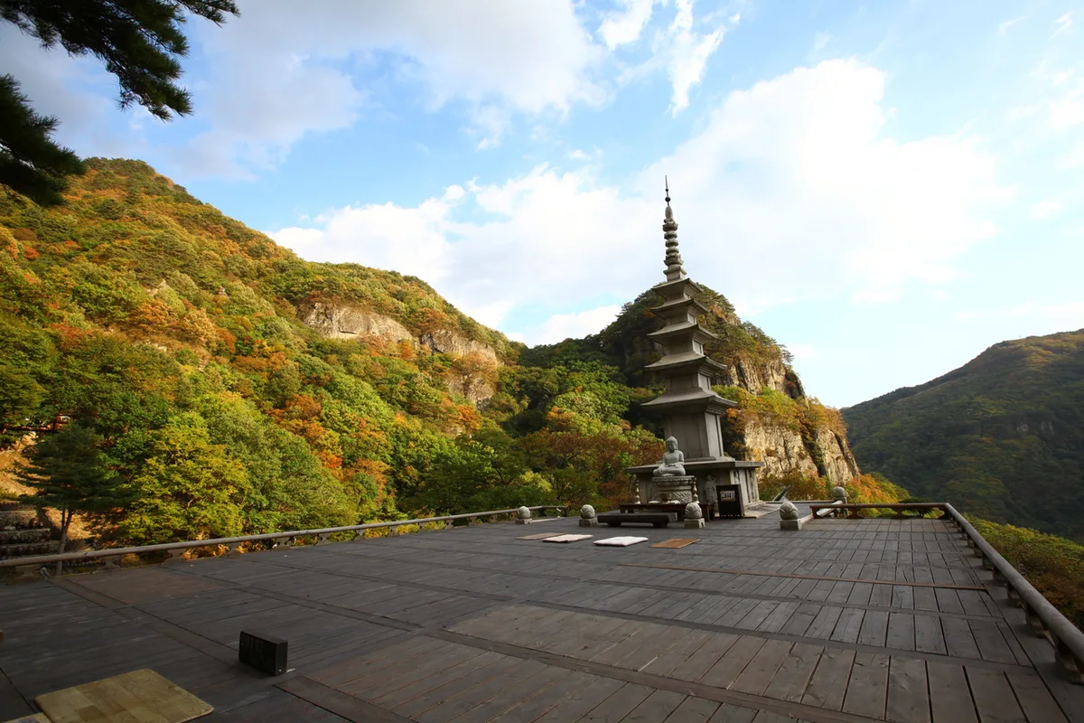 Photo: Korea Tourism Organization Photo Gallery (Bonghwa-gun, Gyeongsangbuk-do) · Public Nuri
The romanized name for Cheongnyangsan is, well, Cheongnyangsan, with its summit Jangingbong, its famous Sky Bridge (Cheongnyangsan Sky Bridge), and its temple, Cheongnyangsa Temple. This dataset doesn’t include specifics on entry permits or fees, so it’s worth checking the Cheongnyangsan Provincial Park management office or official channels beforehand for the latest rates and opening hours. There’s a restroom near the Sanseong entrance trailhead, but according to the public data there’s no separate drinking fountain or spring along the way, so make sure to bring enough water before you set out. Skip Google Maps here — KakaoMap or Naver Map will serve you far better, and since public transit isn’t exactly dense in this area, it’s smart to also have a taxi-hailing app like Kakao T ready to go. On the safety side, take the “fall risk” signs near the cliff sections seriously, and if you’re hiking in a season with shorter daylight hours, leave yourself plenty of buffer time on the descent so you don’t end up finishing in the dark.
Other Nearby Mountains
- Snow-flowers and rime-frosted ridge, Mt. Taebaeksan, Gangwon — about 35 km away as the crow flies
- East Sea views and waterfall valley, Mt. Naeyeonsan, Pohang — about 67 km away as the crow flies
📍 Thrill of the Sky Bridge: Cheongnyangsan's Twelve Rock PeaksLocation
Contact: bumseok.view [at] gmail [dot] com
Related posts
-
White Granite Peaks Rising Over Huiyangsan, Between Mungyeong and Goesan
-
Ropes up the Bubong rock ridge — Juheulsan, the mountain that cradles Mungyeong Saejae
-
Ridge After Ridge, Hugging a Reservoir: The 'Alps of Chungnam,' Cheonggyesan in Cheongyang
-
Grand Unjangsan: A Ridge Linking Multiple Peaks in Jinan
Comments