Pohang's Naeyeonsan: A Ridge with Sea Views and a Waterfall Valley Tucked Below
Hiking · Published 8/1/2026 ·
등산로 트랙·시설 (공공데이터: 전국등산로 공간정보) · 🚩시종점 💧음수대 👁️조망점 🏠대피소 🅿️주차장 ⚠️위험 · 지도 © OpenStreetMap ⤓ GPX 다운로드
At a Glance
| Metric | Rating |
|---|---|
| Accessibility (public transit & parking) | ★★☆☆☆ |
| Trail difficulty | ★★☆☆☆ |
| Water sources & springs on the mountain | ★☆☆☆☆ |
| Overnight stay needed? | ★★☆☆☆ (yes, if you do the full traverse) |
| Seasonal difficulty — spring | ★★☆☆☆ |
| Seasonal difficulty — summer | ★★★☆☆ |
| Seasonal difficulty — fall | ★★☆☆☆ |
| Seasonal difficulty — winter | ★★★★☆ |
※ Source: Korea Forest Service trail geospatial data · accessibility and seasonal figures are rough guides
Overview
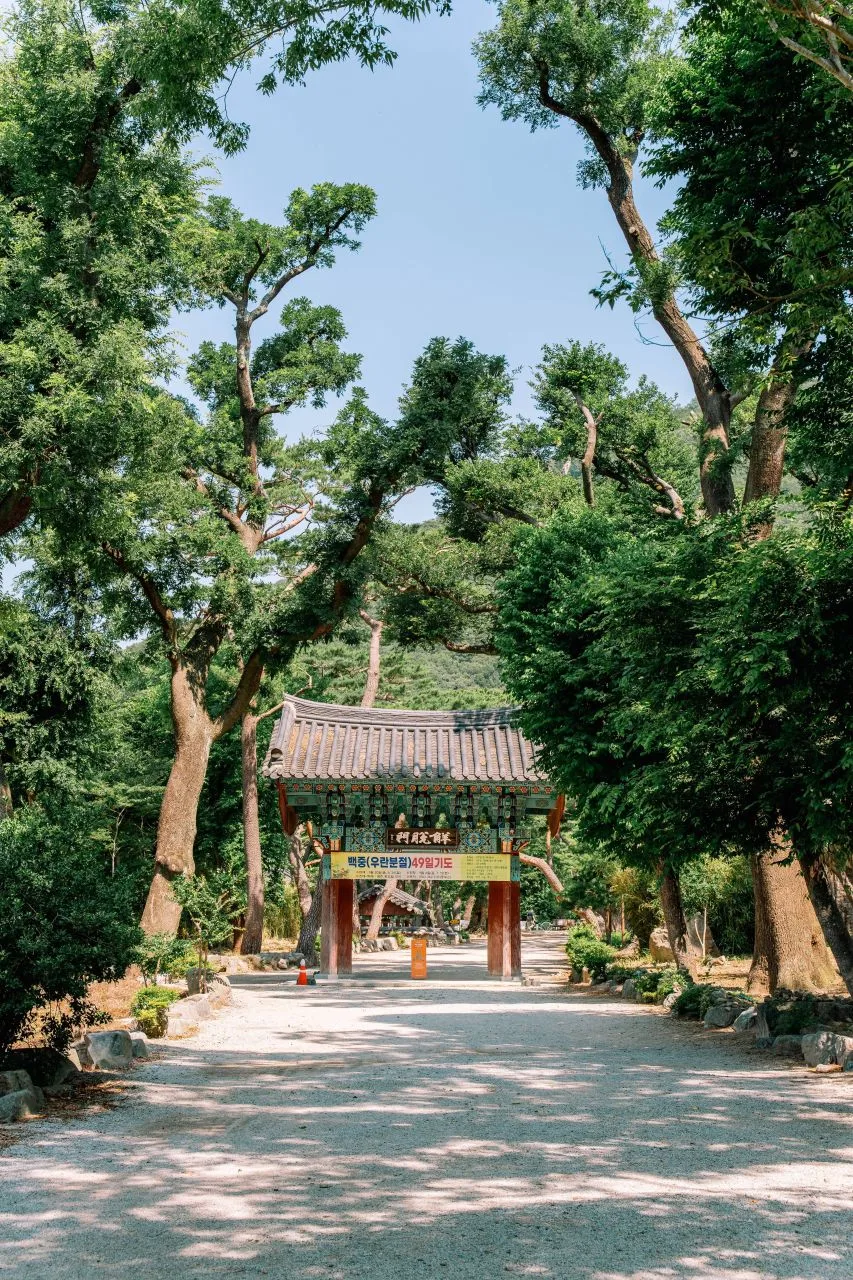 Photo: Korea Tourism Organization photo gallery (Songna-myeon, Buk-gu, Pohang-si, Gyeongsangbuk-do) · KOGL
Naeyeonsan sits in Songna-myeon, Buk-gu, Pohang, in Gyeongsangbuk-do, and it’s a fairly substantial mountain — Hyangnobong, the main peak, tops out at 960m. The whole massif holds both provincially designated cultural heritage and some genuinely lovely natural scenery, which is why it’s known as a place where you can do proper hiking and valley trekking in the same outing. Add up every registered trail in the area and you get 85.75km of total length, spread across a wide stretch of mountain. In the public data, the hardest trail here is rated only “easy,” so most of what’s on offer is on the gentler side. That said, the main routes up to the summit area run 6–11km with net elevation gains in the 200–600m range, so depending on your fitness it could eat half a day or the whole thing. Either way, nearly every course is comfortably doable as a day hike.
The Mountain’s Shape and Terrain
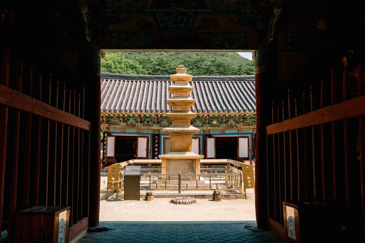 Photo: Korea Tourism Organization tourism photo gallery (Buk-gu, Pohang-si, Gyeongsangbuk-do) · KOGL
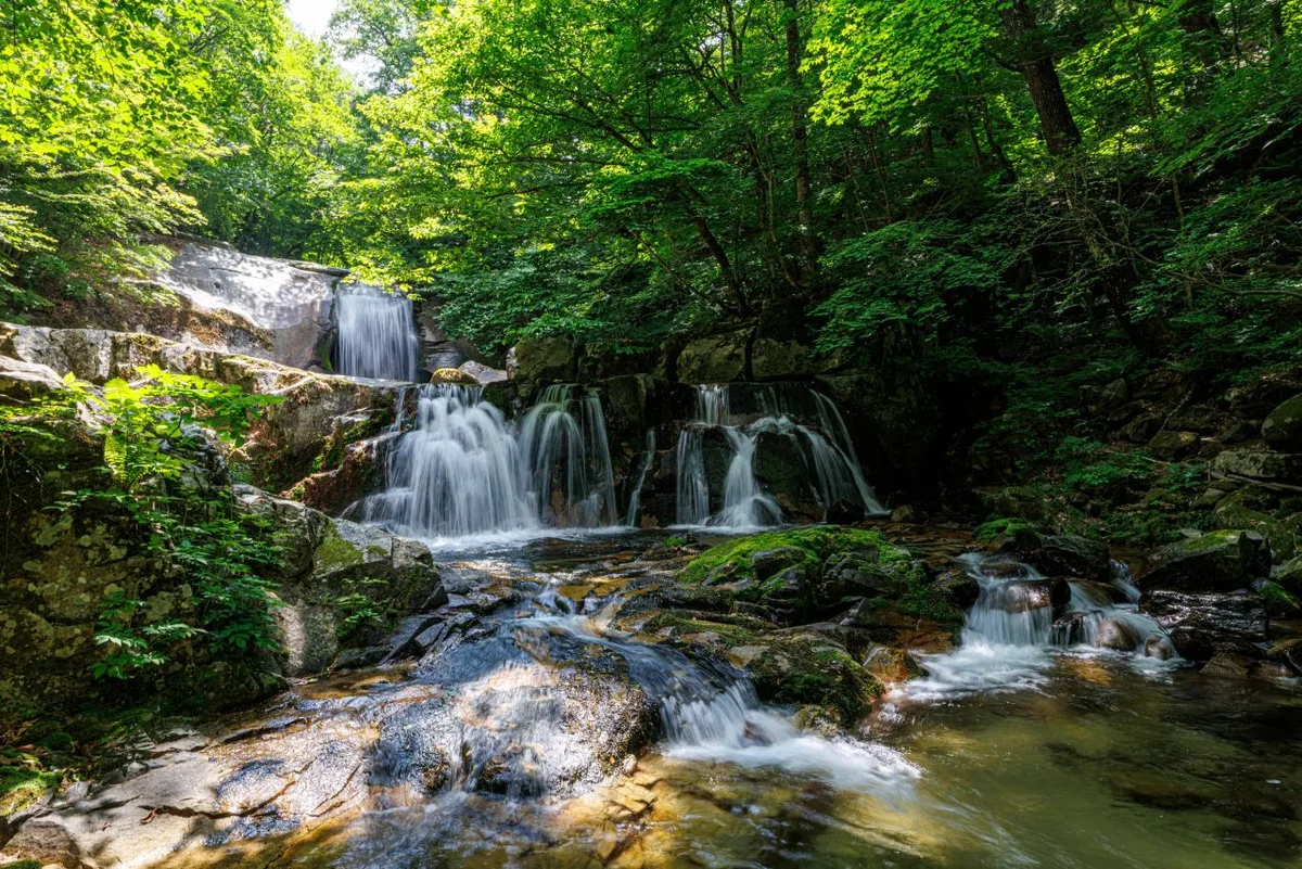
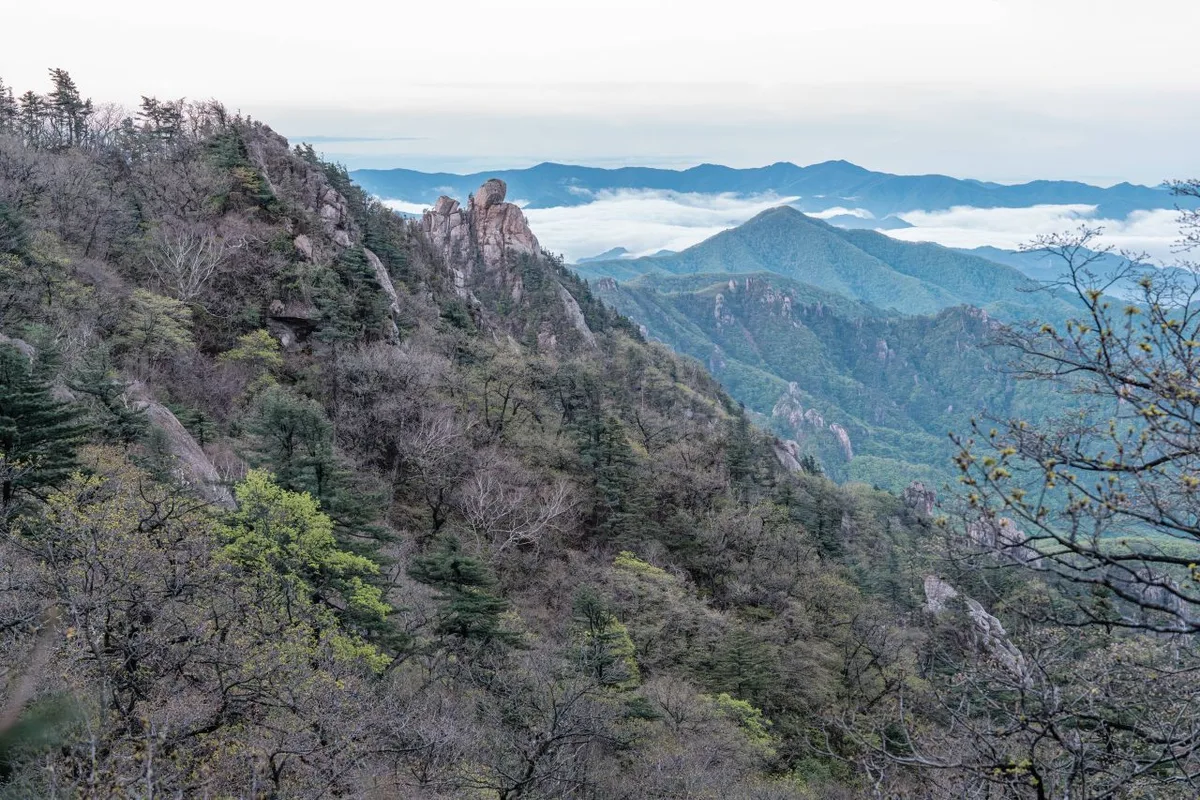
Naeyeonsan isn’t the kind of mountain that builds up to a single sharp summit. It’s a multi-peak range, with one high point linked to the next along a continuous ridgeline. Just counting the peaks registered in public data, you get Munsubong (636m), Samjibong (718m), Naeyeonsan Seonildae (342m), Hyangnobong (960m), Satgatbong (745m), Naeyeonsan Samjibong (739m), Maebong (835m), and Ucheokbong (813m) — and because those peaks connect to each other along the ridge, the whole thing becomes a stage for a proper traverse hike. Overall it has more the character of a wooded earth mountain than a steep rocky one, but sheer stone lookouts like Seonildae are scattered throughout, so at the viewpoints you also get that wide-open feeling of exposed bedrock. Naeyeonsan is especially well known for its valley terrain — start at Bogyeongsa Temple and head upstream and the waterfalls come one after another. That valley stretch gets written about a lot as a section where you can combine hiking with a bit of valley trekking.
What the Hike Feels Like
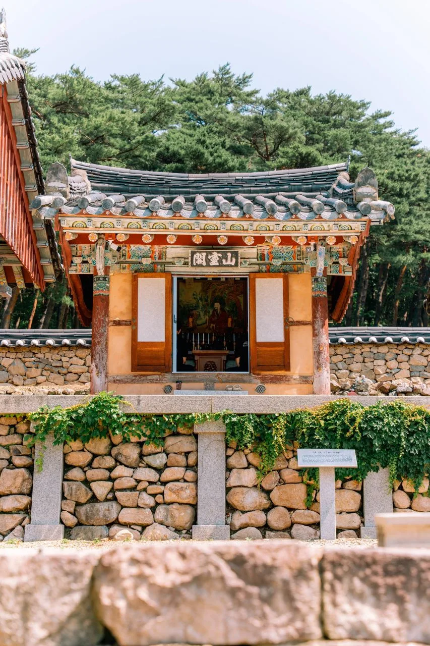 Photo: Korea Tourism Organization photo gallery (Buk-gu, Pohang-si, Gyeongsangbuk-do) · KOGL
A hike up Naeyeonsan usually starts by taking you straight through dense pine forest and stands of oriental cork oak, so in summer the deep shade takes the edge off the heat, and in autumn the maple and oak groves mingle into a trail of layered color. Once you’re up on the ridge, the East Sea opens up in front of you at several points — a sense of space you just don’t get on inland hikes. The ridge itself rolls along gently enough, but near the summit the elevation gain piles up and the climb starts to feel noticeably steeper. Much of the route passes through varied plant communities — thickets of Oriental staff vine, mistletoe, stands of Mongolian oak — so the character of the trail changes dramatically with the seasons. And the ecology here is relatively well preserved: well enough that you’ll find traces of yellow-throated marten.
Main Routes (by Trailhead)
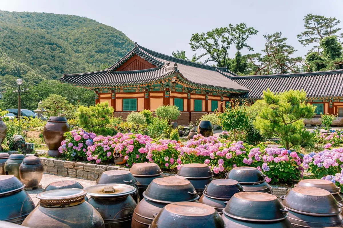 Photo: Korea Tourism Organization photo gallery (Buk-gu, Pohang-si, Gyeongsangbuk-do) · KOGL
| Route (trailhead → summit) | Distance | Net elevation gain | Est. time (one way) | Difficulty | Popularity |
|---|---|---|---|---|---|
| Jeongja → Maebong | 7.06km | ↕328m | About 2 hr 19 min | ★★★☆☆ | ★★★★☆ |
| Public restroom → Ridge summit rest area | 6.26km | ↕614m | About 2 hr 35 min | ★★★★☆ | ★★★☆☆ |
| Entrance car park → Arboretum lookout | 11.03km | ↕216m | About 3 hr 7 min | ★★★★☆ | ★★★☆☆ |
※ Source: Korea Hiking and Trekking Support Center, 100 Famous Mountains GPX (distance, elevation, time, difficulty) · Popularity figures are for reference only
Course 1 — Jeongja → Maebong
Route: Jeongja → fork in the trail → bench rest area → Maebong → Sangok → Naeyeonsan ridge → pine forest → oriental oak grove → marten tracks → Tripterygium regelii thicket → Korean azalea grove → pavilion rest area → East Sea viewpoint → East Sea → Hyangnobong
Getting to the trailhead: By public transit, the usual approach is a bus from downtown Pohang heading toward Songna-myeon, getting off at a stop near the arboretum and walking the rest of the way to the trailhead — that’s how most people do it. If you’re driving, parking tends to mean an empty lot nearby or the shoulder of the road, so it’s worth checking the width of the access road and whether parking is actually available on a map app beforehand.
What it’s like / who it suits: The best thing about this course is how the views open up again and again — you pass through pine forest and an oriental oak grove, climb onto the ridge, and there’s the East Sea spread out in front of you. The ridge trail running from Maebong out to Hyangnobong doesn’t gain much net elevation for its length, which makes it the more approachable of the three courses. A good fit if you want summit views and the pleasure of a ridge walk in the same outing.
Course 2 — Public Restroom → Ridge Summit Rest Area
Route: Public Restroom → Haok Valley Store → Sangok-ri Viewpoint → Ridge Summit Rest Area → Fine-leaf Shade Sedge Colony → Big Pine Tree → Big Cork Oak → Sanggal Oak Colony → Maple Colony → Mistletoe → Haok Valley → Wax Tree Colony → Mount Naeyeon Samjibong and Mount Dongdae Viewpoint → Trail Fork → Mongolian Oak Colony
Getting to the trailhead: This one starts from the Haok Valley side, and public transit out here is pretty thin, so realistically you’re driving or taking a taxi. There’s sometimes a small parking area near the store at the valley entrance, but no officially registered lot shows up in the public data — so it’s worth checking on a map app before you go to make sure you can actually get in.
What it’s like / who it’s for: Packing 614m of net elevation gain into a relatively short 6.26km makes this the steepest-feeling of the three courses. You climb alongside Haok Valley and pass several viewpoints looking out over Sangok-ri, Mount Naeyeon’s Samjibong peak, and Mount Dongdae — so it’s a good pick if you want real elevation and valley scenery in a short outing. Big old specimens like the Big Pine and Big Cork Oak are still standing here and there, which gives the whole place an almost old-growth feel.
Course 3 — Main Entrance Parking Lot → Arboretum Observatory
Waypoints: Main entrance parking lot → accessible parking → restrooms → arboretum restrooms → trailhead to the observatory → arboretum observatory → junction → Satgatbong Peak → pavilion rest area → protected tree, Oesolbaegi → royal azalea grove → oak grove → maple grove → big rock and viewpoint → ridgeline, open field, and rocks
Getting to the trailhead: True to its name, the entrance comes equipped with a car park, accessible parking, and restrooms — making this the best-appointed trailhead of the three in terms of facilities at the start. If you’re coming by public transit, you can get off at the nearby Arboretum stop and walk in, and for anyone driving, this is the easiest trailhead to deal with.
What it’s like and who it suits: At 11.03km it’s the longest of the three courses, but with a net elevation gain of just 216m it stays gentle — less up-and-down slog, more long ridgeline stroll. The route passes the arboretum observatory and Satgatbong Peak, taking in a good range of plant life along the way: royal azalea groves, oak groves, maple groves. That makes it a good fit if you’d rather have a long, steady trek and some seasonal plant-watching than a steep climb.
Difficulty, Trail Surface, and Cautions
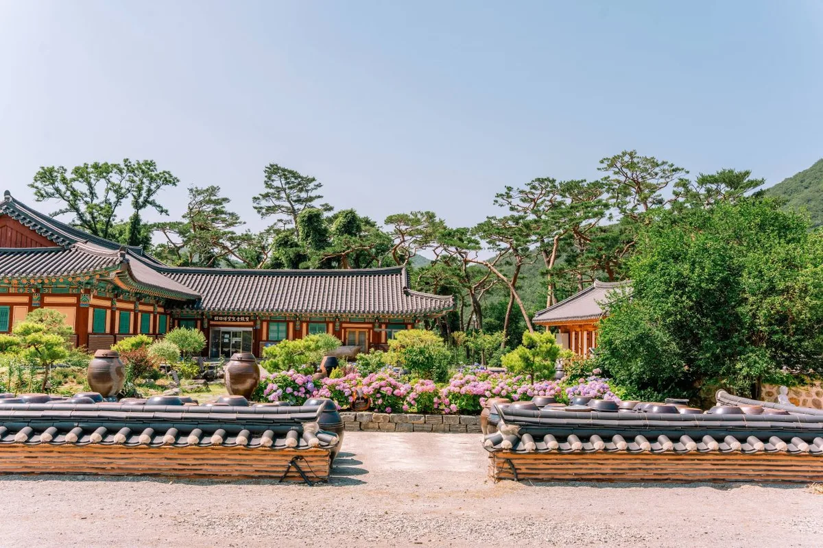 Photo: Korea Tourism Organization photo gallery (Buk-gu, Pohang-si, Gyeongsangbuk-do) · KOGL
The public data lists the maximum difficulty for trails in the Naeyeonsan area as “Easy,” but that rating covers the entire trail network in the area (85.75 km in total length). The three routes that head for the summit area actually feel more like a 3- or 4-star effort once you’re on them. There’s no detailed information on trail surface, but the ridge sections include rocky stretches and a big-boulder viewpoint (the “large rocks and views” section on Course 3), so watch your footing when it’s wet. The public data records zero hazard zones, zero designated viewpoints, and zero trailhead or trail-end facility POIs — in other words, plan your hike knowing there are no safety installations or official observation decks along the way. Water fountains also come back as zero, so bring all your own drinking water. And with zero shelters, it’s safest to start early enough that you can get back down if the weather turns.
Distance and Time Required
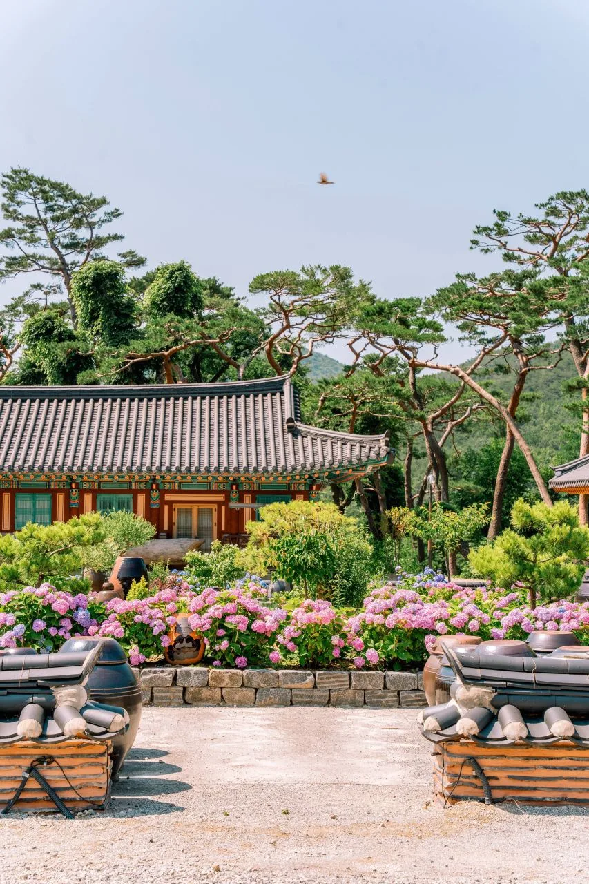 Photo: Korea Tourism Organization tourism photo gallery (Buk-gu, Pohang-si, Gyeongsangbuk-do) · KOGL
The summit-bound routes on Naeyeonsan run between 6.26 km and 11.03 km, so a round trip lands somewhere around 12–22 km — comfortably a day hike for most people. That said, if you want to walk every registered trail in the area end to end, the total comes to 85.75 km, which is more than you can manage in a single day. And with no shelters along the way, you’d need to split it across several days or build overnight stays into your plan. The public data puts the cumulative time for all trails in the area at 1,600 minutes going up and 1,114 minutes coming down, which works out to an average ascent pace of roughly 19 minutes per kilometer. Keep in mind that’s a combined pace across every trail in the area, not the time for any one route — for individual routes, the estimates in the table above (about 2 hours 19 minutes to 3 hours 7 minutes, one way) are what you want to go by.
Getting There (Public Transit and Parking)
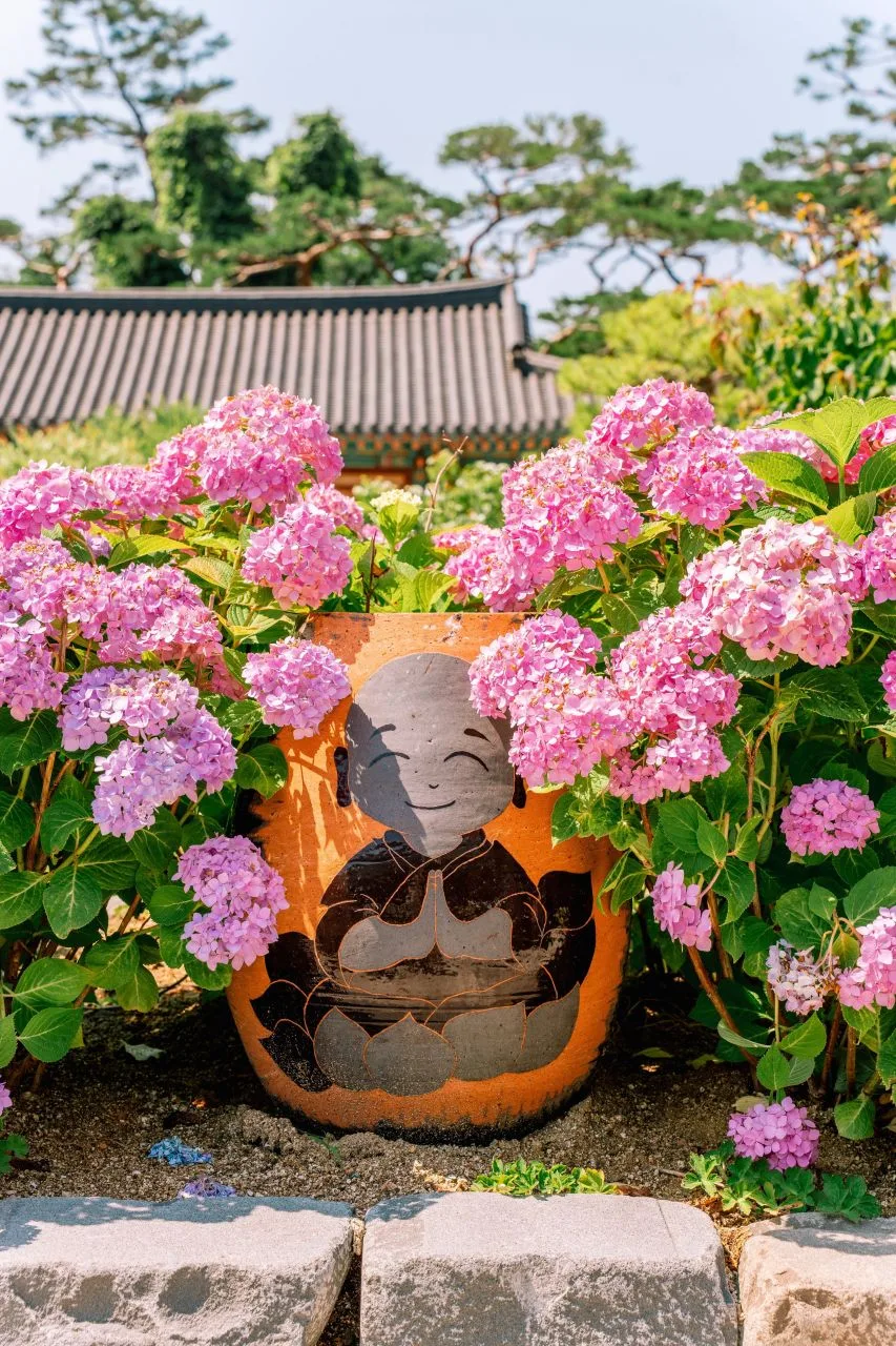 Photo: Korea Tourism Organization photo gallery (Buk-gu, Pohang, Gyeongsangbuk-do) · KOGL
Most people start from either Pohang KTX Station or the Pohang Intercity Bus Terminal. From there you transfer to a bus heading toward Songna-myeon, and near the trailheads, the “Arboretum” stop is the one I could confirm as an actively served bus stop — get off there and you can walk to the start of any of the courses. Buses don’t run all that often out here, so check the timetable ahead of time, and honestly, grabbing a taxi from downtown Pohang is a perfectly reasonable backup plan. If you’re driving, Course 3 has confirmed, usable parking in the form of an “entrance passenger car lot” and an “accessible parking area.” That said, public data lists zero registered parking POIs in the area, so the other trailheads may not have any proper official parking set up. I’d suggest checking actual road conditions and where you can realistically park on KakaoMap or Naver Map before you head out.
Season, Weather, and Gear
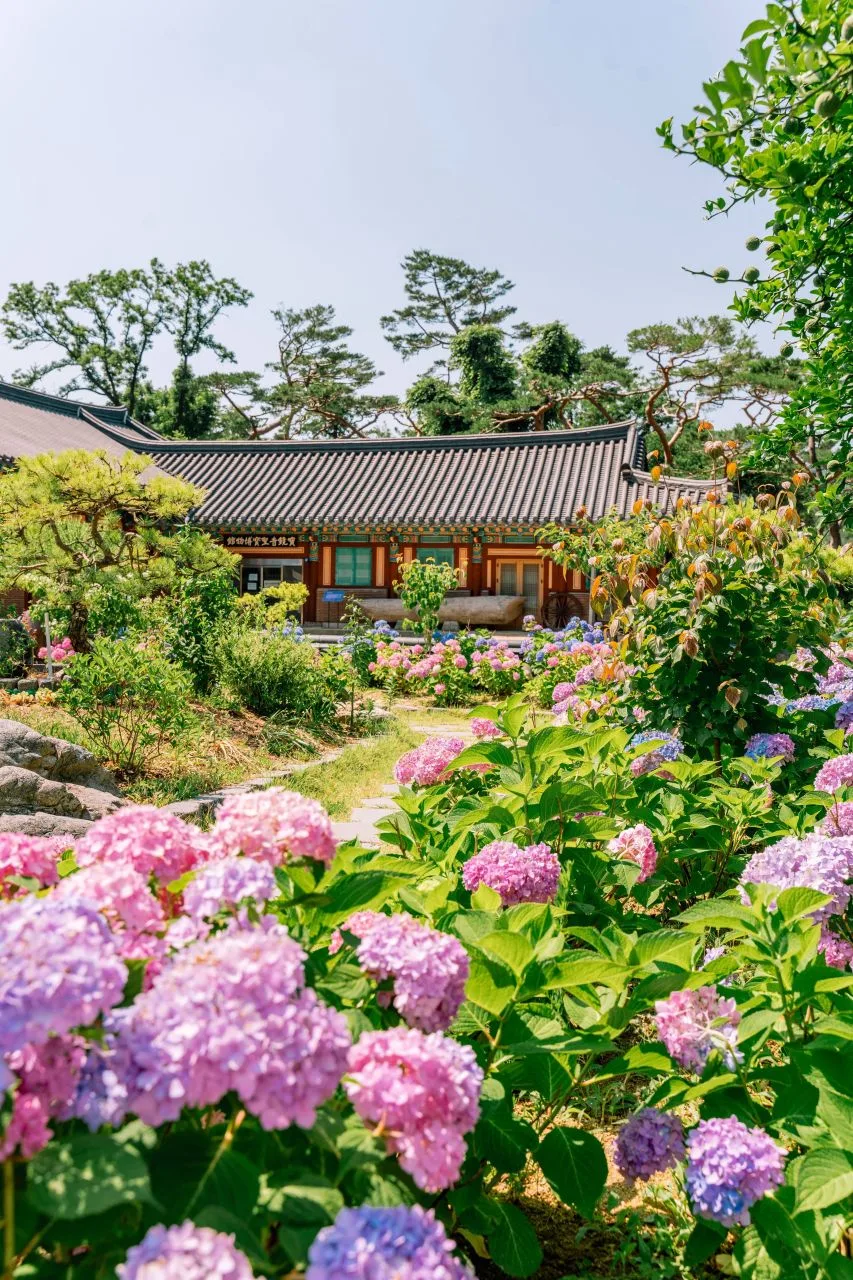 Photo: Korea Tourism Organization photo gallery (Buk-gu, Pohang, Gyeongsangbuk-do) · KOGL
Spring and fall are the most comfortable seasons for hiking Naeyeonsan. In spring you get fresh green growth along with stands of royal azalea and Korean azalea; in fall, maple and oak groves color the ridgeline. The views are especially good in those two windows. Summer brings deep forest shade and valley streams that take the edge off the heat, but humidity runs high and sudden showers are frequent, so the trail surface can get slippery — come prepared for rain. In winter, ice can form on the ridge sections and rocky stretches, making crampons and cold-weather gear essential. And since there’s no shelter on the mountain, give yourself plenty of margin so you can finish the descent before sunset. As for what to bring regardless of season: hiking boots, extra water (there are no drinking fountains, so carrying enough is a must), a windproof and waterproof jacket, snacks, a headlamp, and trekking poles.
Tips for International Visitors
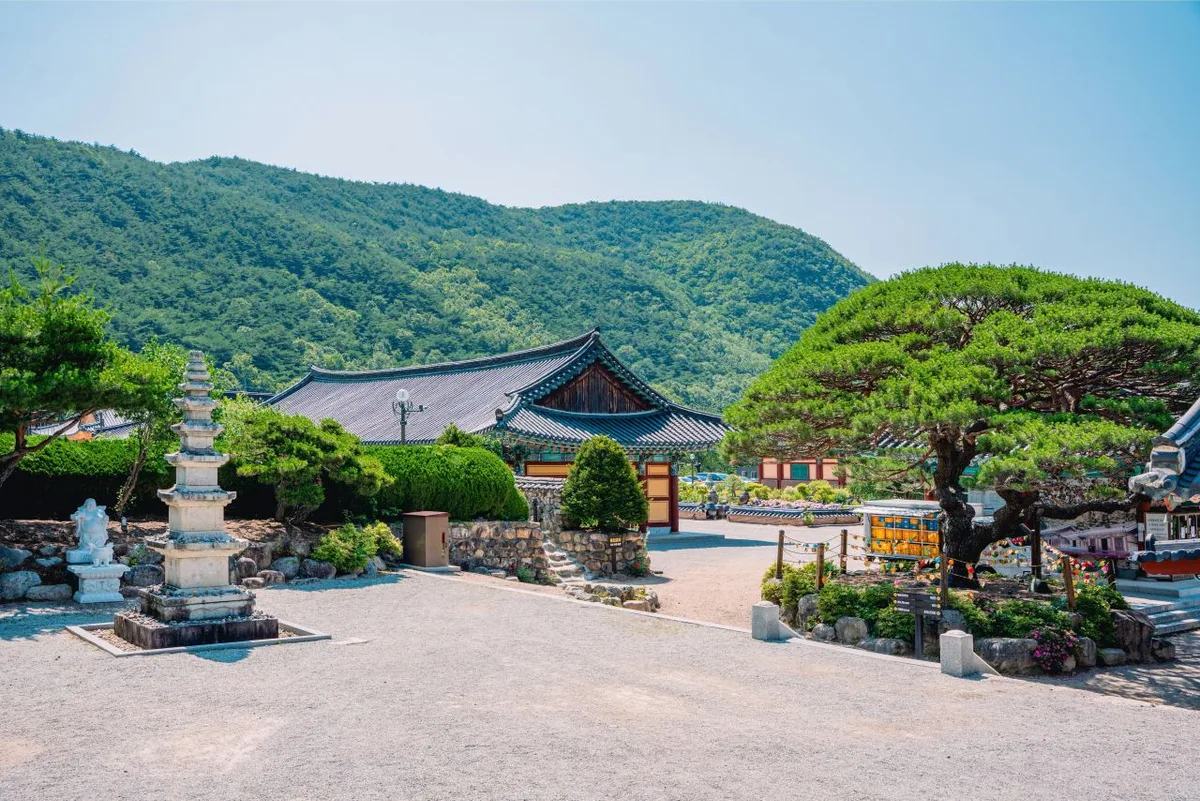 Photo: Korea Tourism Organization photo gallery (Buk-gu, Pohang, Gyeongsangbuk-do) · KOGL
Naeyeonsan is romanized as Naeyeonsan (내연산), and the main summit-area peaks can be written as Hyangnobong (향로봉, 960m), Maebong (매봉, 835m), and Samjibong (삼지봉, 718m). I couldn’t find anything in the public data about hiking permits or entrance fees, so your safest bet is to check with a local information center or the park office for the latest before you go. Restrooms show up at the trailhead for Course 3 (the car park at the entrance, plus the arboretum restrooms), but there are no registered water fountains anywhere on the mountain — bring your own water, no exceptions. For maps, KakaoMap or Naver Map are far more accurate in Korea than Google Maps, and both have English interfaces, so it’s worth looking up your trailhead and descent point ahead of time. Cell reception drops out in places up there, and shelters and safety facilities are thin on the ground, so hike with someone rather than alone and give yourself plenty of daylight for the way down.
Other Mountains Nearby
- A granite ridge cradling thousand-year-old rock-carved Buddhas: Namsan, Gyeongju — about 51 km as the crow flies
- A granite ridge dotted with Buddhist relics: Palgongsan, Daegu — about 57 km as the crow flies
📍 Pohang's Naeyeonsan: A Ridge with Sea Views and a Waterfall Valley Tucked BelowLocation
Contact: bumseok.view [at] gmail [dot] com
Comments