A Granite Ridge Holding Thousand-Year-Old Rock-Carved Buddhas: Namsan in Gyeongju
Hiking · Published 8/1/2026 ·
등산로 트랙·시설 (공공데이터: 전국등산로 공간정보) · 🚩시종점 💧음수대 👁️조망점 🏠대피소 🅿️주차장 ⚠️위험 · 지도 © OpenStreetMap ⤓ GPX 다운로드
At a Glance
| Metric | Rating |
|---|---|
| Accessibility (public transit & parking) | ★★★☆☆ |
| Course difficulty | ★★★☆☆ |
| Water sources on the mountain | ★☆☆☆☆ |
| Overnight stay needed? | ★★★☆☆ (yes for the full traverse) |
| Seasonal difficulty — spring | ★★☆☆☆ |
| Seasonal difficulty — summer | ★★★★☆ |
| Seasonal difficulty — fall | ★★☆☆☆ |
| Seasonal difficulty — winter | ★★★☆☆ |
※ Source: Korea Forest Service trail geospatial data · accessibility and seasonal ratings are rough guides
Overview
 Photo: Korea Tourism Organization photo gallery (Seoul) · KOGL
Gyeongju Namsan is a modest mountain just south of Gyeongju in North Gyeongsang Province, with its highest peak, Gowibong, topping out at around 539m above sea level. People call the whole mountain an open-air museum of Silla-era Buddhist relics, and that’s not an exaggeration — rock-carved Buddhas, stone Buddhas, pagoda fragments, and old temple sites are scattered all over the place. That combination of hiking and cultural sightseeing makes it a different kind of day out from most Korean mountains. The elevation isn’t much, but the ridgelines run long, and the trail network is spread out enough that the total trail length within the area (adding up the various courses) comes to 30.01km. The data classifies the difficulty at “moderate” at most, so you don’t need any technical climbing skills to get up there — but some sections run 6 to 9km one way and take roughly three hours, which makes for a genuinely challenging full day. It’s a great mountain to pair with the Silla historical sites nearby — Samneung, Poseokjeong, Najeong, Cheomseongdae — and most of the courses are easy enough to finish in a single day.
The Terrain and the Lay of the Land
 Photo: Korea Tourism Organization photo gallery (Seoul) · KOGL
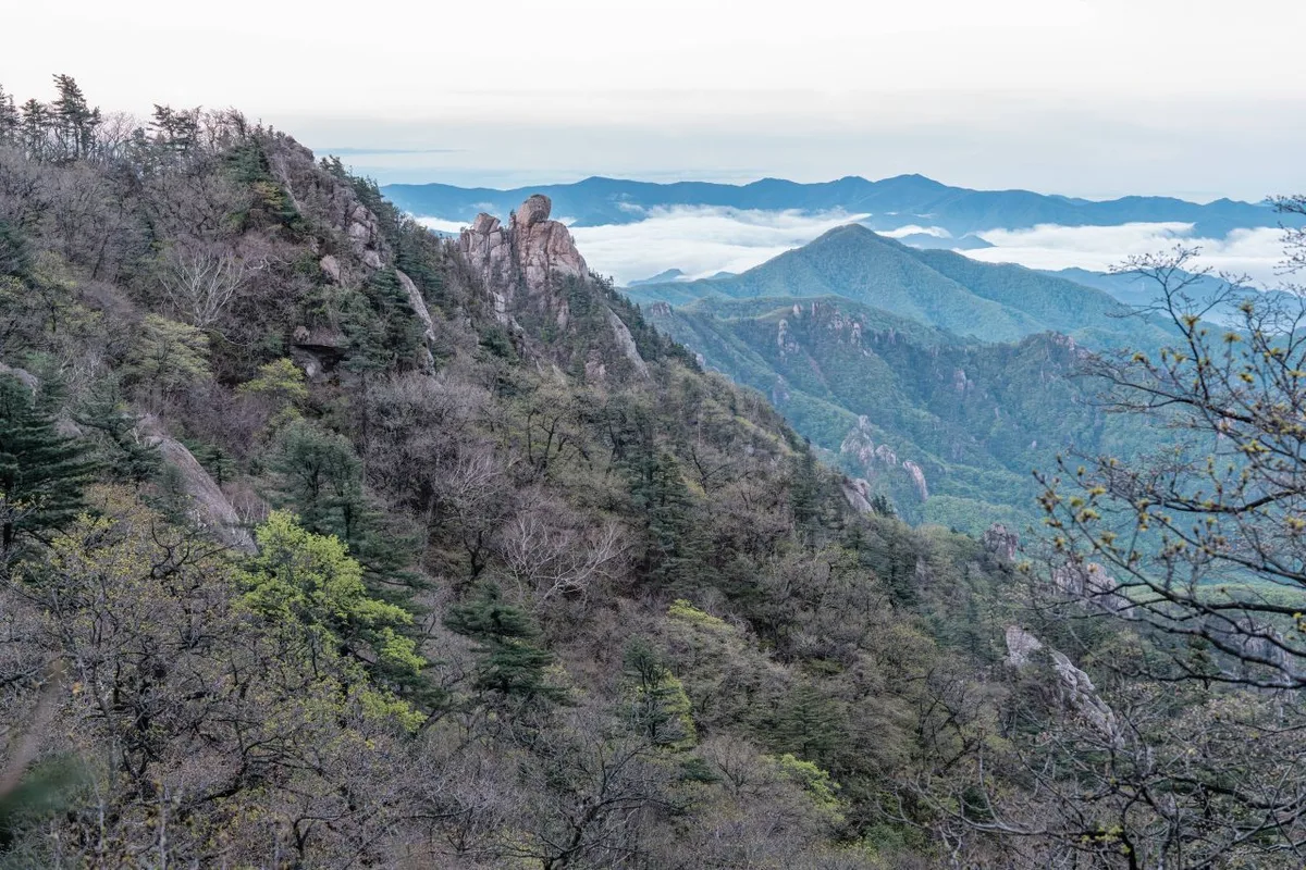
Namsan in Gyeongju is a classic mix of granite-soiled slopes and bare rock. Follow the ridge and you’ll keep running into granite outcrops and big boulders with Buddha figures carved into them, so soft dirt trails and rocky stretches trade places the whole way up. The main peaks are Gowibong (about 539m) to the south and Geumobong to the north, and the ridge connecting the two has valleys fanning out from it in every direction — Samneunggye, Yongjanggye, Bulgok, Tapgok, and more — which means whichever side you start from, you end up joining the summit ridge. The valleys are thick with pine forest, and once you’re up on the ridge there’s a run of exposed granite with open views, where you can take in downtown Gyeongju and the wide plains beyond all at once.
What the Hike Feels Like
 Photo: Korea Tourism Organization photo gallery (Seongsu-dong 1-ga, Seongdong-gu, Seoul) · KOGL
The valley section at the start is mostly gentle dirt trail and pine forest, so it doesn’t ask much of you, and there’s a real pleasure in running into rock-carved Buddhas and seated stone Buddha statues along the way. The closer you get to the ridge, the more often granite starts showing through — rocky stretches where you have to think about where you put your feet. Near the summit at Gowibong, the view opens right up. In spring it’s azaleas and fresh green, in autumn the fall colors set against the old ruins, so the seasons come through clearly. Summer is another story: there’s little shade on the ridge, so the heat really gets to you. On the whole it leans strongly toward “half easy hike, half history walk,” which makes it a good fit for anyone who wants to combine a day on the trail with a bit of cultural sightseeing.
Main Routes (by Trailhead)
 Photo: Korea Tourism Organization photo gallery (Seongsu-dong 1-ga, Seongdong-gu, Seoul) · KOGL
The summit tops out at 539m, and here are the five main summit-area routes based on measured GPX data.
| Route (trailhead → summit) | Distance | Net elevation gain | Est. time (one way) | Difficulty | Popularity |
|---|---|---|---|---|---|
| Samneunggok Temple Site No. 1 pagoda and Buddha statue → Gowibong | 9.39km | ↕445m | about 3 hr 5 min | ★★★★☆ | ★★★★☆ |
| Waypoint 19 → summit | 6.82km | ↕418m | about 2 hr 24 min | ★★★☆☆ | ★★☆☆☆ |
| Bus stop → Gowibong | 6.99km | ↕418m | about 2 hr 27 min | ★★★☆☆ | ★★★☆☆ |
| Najeong entrance → summit | 6.31km | ↕414m | about 2 hr 16 min | ★★★☆☆ | ★★★☆☆ |
| Bus stop → Cheomseongdae Observatory, Gyeongju | 8.84km | ↕400m | about 2 hr 53 min | ★★★★☆ | ★★★★☆ |
※ Source: Korea Hiking and Trekking Support Center, GPX data for the 100 Famous Mountains (distance, elevation, time, difficulty) · popularity ratings are for reference only
Course 1 — Samneunggok Temple Site No. 1 Pagoda Remains and Buddha Statue → Gowibong
Route: Samneunggok Temple Site No. 1 pagoda remains and Buddha statue → fork in the trail → Waypoint 35 → top of the deck stairs → Waypoint 37 → Waypoint 38 → Waypoint 39 → Gowibong → Waypoint 46 → viewpoint → rocky ridge section → Waypoint 49 → Waypoint 50 → Waypoint 51 → Waypoint 52
Getting to the trailhead: Most people reach the Samneung side by bus from downtown Gyeongju, though some visitors use the parking area at Samneung. It’s worth checking exact stop and parking details on a map app before you head out.
What it’s like / who it suits: This course takes you through Samneung Valley — dense with Silla royal tombs, Buddha statues, and pagoda remains — and on up to the summit of Gowibong. It’s among the longest of the five courses and has the biggest elevation gain. Once you’re past the historical sites early on, deck stairs and rocky ridge sections take over, so the going gets progressively more tiring toward the end. The viewpoint near the summit opens up a wide panorama across the Namsan area. Good for anyone who wants to combine some historical sightseeing with a proper hike.
Course 2 — Waypoint 19 → Summit
Route: Waypoint 19 → Parking lot → Waypoint 25 → Waypoint 26 → Waypoint 27
Getting to the trailhead: There’s parking near the trailhead, but the exact place name isn’t posted anywhere, so it’s worth checking the actual access road on a map app before you go.
What it’s like / who it suits: The signposted waypoints are straightforward and the grade stays gentle, making this the most approachable of the five courses. The parking at the start makes it convenient if you’re driving yourself, and with few historic sites along the way, it’s a good pick for anyone who just wants to focus on the ridge walk.
Course 3 — Bus → Gowibong
Route: Bus → Namsan Heritage Information Center → West Namsan Parking Lot → Sambulsa Temple → Sambulsa Parking Lot → Restrooms → Standing Stone Buddha Triad at Baedong, Gyeongju → Standing Stone Buddha at Baeri → Stone Buddha at Seonbanggok → Fork in the trail → Maple tree → Mangwolsa Temple → Public cemetery → Three Royal Tombs at Baedong, Gyeongju → Samneung Forest
Getting to the trailhead: You can reach it on any of the bus routes heading toward West Namsan, and since the West Namsan and Sambulsa parking lots are both on the route, driving works too. The Namsan Heritage Information Center is a good place to get your bearings before you set off.
What it’s like, and who it’s for: This one packs in the ruins — you pass a whole string of nationally designated Buddhist statues, including the Standing Stone Buddha Triad at Baedong and the Standing Stone Buddha at Baeri, then carry on past Mangwolsa Temple to the Samneung Forest. There are restrooms along the way, so facilities are relatively easy to come by, and it’s an especially good pick if you’re more interested in the history than in the hiking.
Course 4 — Najeong Entrance → Summit
Route: Bus → Najeong Entrance → Gyeongju Najeong → Parking lot → Yukbujeon → Wolamjae → Rest area → Danggan Pillars at Namgansa Temple Site, Gyeongju → Poseokjeong restrooms → Ticket office, 2,000 won → Poseokjeong Site, Gyeongju → Autumn foliage → Poseokjeong shop → Family rest area campground → Information center
Getting to the trailhead: You can reach Najeong Entrance by bus, and there’s a parking lot nearby. Note that a ticket office (2,000 won admission) is on the route, so seeing the Poseokjeong Site may cost you a small entry fee.
Highlights and who it’s for: This is the cultural course, taking you past both Najeong — steeped in the founding legend of Silla — and the Poseokjeong Site. With a shop, restrooms, and a family rest area campground along the way, it’s easily the most convenient of the five courses. It’s also known for its autumn foliage, which makes it a good pick for family outings or a light hike doubling as a day trip.
Course 5 — Bus → Cheomseongdae, Gyeongju
Waypoints: Bus → Gyodong Bonga Seolleongtang → 2nd-Generation Gyeongju Son Kalguksu → pink muhly field → Cheomseongdae, Gyeongju → Daereungwon → Gyerim, Gyeongju → Woljeong Street Mart → Gyeongju Hyanggyo → Woljeonggyo Bridge → autumn foliage → Wolseong, Gyeongju → Gyeongju Seokbinggo → Wolseong excavation site → rest area
Getting to the trailhead: You get here on Gyeongju’s city bus routes, and since the course runs through the restaurant district and the downtown shopping area, it’s the easiest of the bunch to reach by public transit.
What it’s like / who it’s for: This is a city course that takes you past Gyeongju’s key historic sites one after another — Cheomseongdae, Daereungwon, Gyerim, Woljeonggyo, Wolseong, Seokbinggo. Compared with the other four courses, far more of it is flat ground and ruins than actual mountain trail. It suits travelers who’d rather cover a lot of Gyeongju’s history on foot than do any serious hiking, and meals and snacks are easy to come by along the way.
Difficulty, Trail Surface, and Cautions
 Photo: Korea Tourism Organization photo gallery (Jung-gu, Seoul) · KOGL
There are four registered sections within the district, listed by administrative district. Here’s the distance and difficulty for each:
| Section | Distance | Difficulty | Surface |
|---|---|---|---|
| Sari section | 20.56km | Easy | - |
| Sangni section | 4.82km | Easy/Moderate | - |
| Dongcheon-ri section | 3.54km | Easy | - |
| Hwari section | 1.09km | Easy | - |
※ Section names follow administrative district boundaries. These aren’t trail names — they’re just the units used to tally the district’s total trail length of 30.01km.
The highest difficulty rating in the data is “Moderate,” so on paper this is a fairly gentle mountain. But there are real granite ridge stretches near the summit and around Gowibong, and they can feel noticeably harder than the rating suggests. That’s exactly why the GPX difficulty for Course 1 and Course 5 comes out at ★★★★☆ — those rocky, steep sections do the damage. The data doesn’t include a separate entry for trail surface, but the granite slabs get seriously slick in the rain and can ice over in winter, so watch your footing. The public data doesn’t list any counts for facility points (POIs) like viewpoints, water fountains, shelters, or hazard zones — so rather than counting on finding amenities up there, bring the water and gear you need before you start climbing.
Distance and Time Required
 Photo: Korea Tourism Organization Photo Gallery (Jung-gu, Seoul) · KOGL
Most of the main routes on Namsan in Gyeongju run 6–9 km one way and take around three hours, so even counting the return trip you can comfortably finish one in a single day. That said, the trail network here totals 30.01 km, so if you’re hoping to link several sections together and traverse the whole mountain, one day won’t cut it — better to book a night or two in downtown Gyeongju and split the walk over two or three days. For reference, there’s a figure floating around of 559 minutes ascending and 387 minutes descending, but that’s the cumulative total for every trail on Namsan added together, not the time for any single route. Divide that cumulative figure by the distance and you get an average ascending pace of roughly 19 minutes per kilometer — a useful ballpark for the mountain’s overall walking speed, given the mix of gentle dirt paths and rocky ridgelines. For actual planning, though, go by the numbers in the route table above (about 2 hours 16 minutes to 3 hours 5 minutes, one way).
Getting There (Public Transit & Parking)
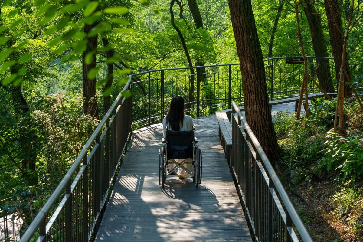 Photo: Korea Tourism Organization photo gallery (Jung-gu, Seoul) · KOGL
Most people reach Gyeongju Namsan by taking the KTX to Singyeongju Station or Gyeongju Station and transferring to a local bus. Since each trailhead points you toward a different destination — Samneung, Najeong, Poseokjeong, Cheomseongdae — I’d check your specific trailhead name in KakaoMap or Naver Map before you go, so you know the actual bus route and stop. The bus stops I could confirm near the trailheads are Samneung, Namsan Woncheontang, Najeong Entrance, Oreung Intersection, Wolseong-dong Community Service Center, and Cheomseongdae — pick whichever is closest to your course. Public data shows no registered dedicated parking lot, so if you’re driving, it’s safer to look up the parking areas along the courses themselves (Sambulsa parking lot, Seonamsan parking lot) or a nearby public lot in a map app ahead of time. Google Maps is often unreliable for public transit and walking directions in Korea, so once you’re on the ground, I’d strongly recommend KakaoMap or Naver Map.
Season, Weather, and Gear
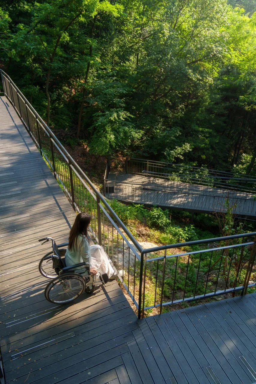 Photo: Korea Tourism Organization Tourism Photo Gallery (Jung-gu, Seoul) · KOGL
Spring (April–May) and fall (September–November) are the most pleasant times to hike Gyeongju Namsan. Spring brings azaleas and fresh green growth; fall gives you autumn foliage set against the ruins. In summer, the ridge sections don’t have much shade, so it feels hotter than it is, and there are plenty of bugs — start early and bring more water than you think you’ll need. Winter doesn’t get much snowfall, but the granite rock ridges ice over easily, so pack a set of lightweight crampons. As for the essentials, whatever the season: hiking boots (or trekking shoes), a generous supply of water (there are essentially no drinking fountains on the mountain, so carry all of it in), a hat and sunscreen for UV protection, and trekking poles. And since this route doubles as a tour of historical sites, comfortable clothes and a camera are worth bringing along too.
Tips for International Travelers
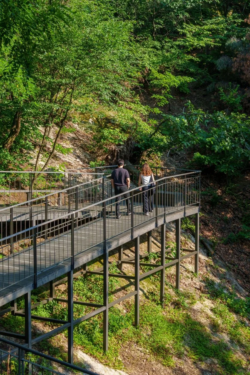 Photo: Korea Tourism Organization photo gallery (Jung-gu, Seoul) · KOGL
In roman letters, Gyeongju Namsan is written just that way — Gyeongju Namsan. The summit, Gowibong, appears as Gowibong; the main trailhead at Samneung as Samneung; Najeong as Najeong; Poseokjeong as Poseokjeong; and Cheomseongdae as Cheomseongdae. You don’t need a permit or an entry fee to get onto the trails themselves, though visiting the Poseokjeong Pavilion Site — part of Course 4 (Najeong entrance → summit) — may cost you a 2,000 won admission. Restrooms and drinking fountains vary a lot depending on which course you’re on. I could only confirm restrooms near the Sambulsa parking lot on Course 3 and near Poseokjeong on Course 4, so don’t count on facilities anywhere else. Use the restroom before you set off and carry plenty of water. For navigation, KakaoMap or Naver Map is far more accurate than Google Maps, so I’d strongly recommend installing one of the two before you go. Cell service drops out in places along the way, so save an offline map ahead of time, and in the seasons when daylight is short, give yourself a generous margin on your descent so you’re off the mountain before sunset.
Other Mountains Nearby
- Ridge After Ridge in the Yeongnam Alps: Unmunsan, Cheongdo & Miryang — about 31 km as the crow flies
- Silver Grass Plains and Rocky Ridge Views: Sinbulsan, Ulsan — about 32 km as the crow flies
- Eoreumgol and the Sajapyeong Silver Grass Plateau: Jaeyaksan, Miryang — about 33 km as the crow flies
📍 A Granite Ridge Holding Thousand-Year-Old Rock-Carved Buddhas: Namsan in GyeongjuLocation
Contact: bumseok.view [at] gmail [dot] com

Comments