Mount Yongmun in Gyeonggi: A Thousand-Year-Old Ginkgo and a Rocky Ridge
Hiking · Published 7/25/2026 ·
등산로 트랙·시설 (공공데이터: 전국등산로 공간정보) · 🚩시종점 💧음수대 👁️조망점 🏠대피소 🅿️주차장 ⚠️위험 · 지도 © OpenStreetMap ⤓ GPX 다운로드
At a Glance
| Metric | Rating |
|---|---|
| Accessibility (public transit/parking) | ★★★☆☆ |
| Trail difficulty | ★★☆☆☆ |
| Water/springs on the mountain | ★☆☆☆☆ |
| Overnight stay needed | ★☆☆☆☆ (a day trip is plenty) |
| Seasonal difficulty – Spring | ★★☆☆☆ |
| Seasonal difficulty – Summer | ★★★☆☆ |
| Seasonal difficulty – Fall | ★★☆☆☆ |
| Seasonal difficulty – Winter | ★★★★☆ |
※ Source: Korea Forest Service trail geospatial data · accessibility and seasonal ratings are for reference only
Overview
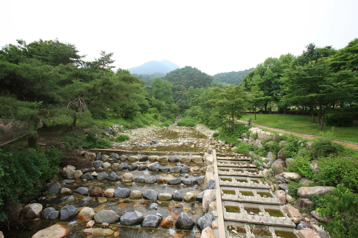 Photo: Korea Tourism Organization Photo Gallery (Yangpyeong, Gyeonggi-do) · KOGL Type 1
Yongmunsan (龍門山) sits in Yangpyeong County, Gyeonggi-do, and with a summit elevation of roughly 1,176m, it’s one of the tallest mountains in eastern Gyeonggi. Most routes to the top run somewhere between 8 and 11km one way with over 800m of elevation gain, which — going by the actual measured data — puts nearly every summit route into the toughest difficulty tier. It’s a real leg-burner. That said, the official public-data difficulty rating for the registered trail segments themselves is listed as “easy,” so if you’re only planning to cover a short stretch, it’s actually a fairly approachable mountain. Doing the full route from trailhead to summit and back is easily a one-day hike — this isn’t the kind of mountain that calls for an overnight stay.
Terrain and Landscape
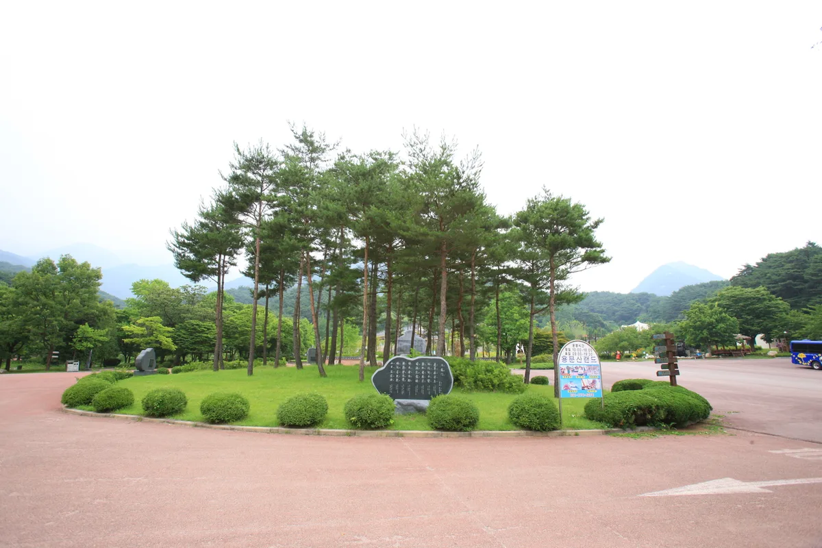 Photo: Korea Tourism Organization Photo Gallery (Yangpyeong, Gyeonggi-do) · KOGL
Mt. Yongmunsan has that classic mix of soil-covered slopes and rocky ridgelines. The whole mountain follows a thick backbone ridge strung together with several peaks — the main summit, Yongmunsan itself (1,161m), plus a nearby point also labeled “Yongmunsan summit” (1,152m), Janggunbong (listed as either 1,025m or 1,113m depending on the source), Baegunbong (940m), Jungwonsan-sangbong (782m), Yongmunsan Sinseonbong (645m), and Yongmunsan Yongjobong (612m). The elevations around the summit area vary a bit depending on which source you check — that’s pretty normal and usually comes down to differences in GPS measurement points or survey timing. Based on an actual GPX track, the highest point in the summit area comes out to 1,176m. Up top, rock and ridge mix together, opening up plenty of spots with real views, while the lower slopes are dense forest — very much a soil-mountain character down there. At the foot of Yongmunsan sits Yongmunsa, a thousand-year-old temple, home to a gingko tree widely known as one of Korea’s oldest and largest. Well worth a stop on the way up or down.
What the Climb Feels Like
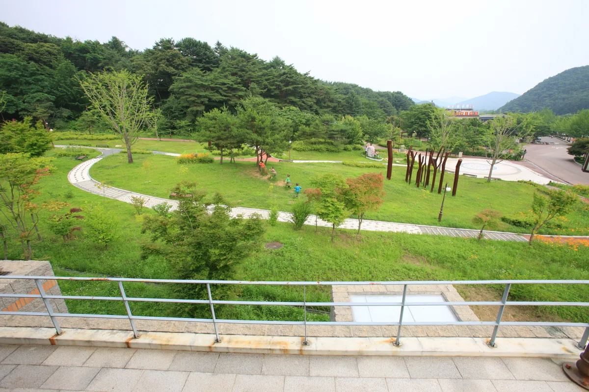 Photo: Korea Tourism Organization photo gallery (Yangpyeong, Gyeonggi-do) · KOGL Type 1
The hike up Yongmun-san follows a classic pattern: it starts out gentle on the forest paths near the trailhead, then gets noticeably steeper the higher you climb. The lower section winds through mixed deciduous and coniferous woods, with thick enough canopy that it stays fairly comfortable even in summer. Higher up, though, rocky ridgelines and scrambling sections start showing up more often, and the difficulty ramps up fast. Near the summit, the ridge opens onto several viewpoints where you can take in the mountain ranges stretching across eastern Gyeonggi. The seasonal contrast here is pretty striking — spring brings fresh green foliage alongside rushing valley streams, and the mountain is well known for the way autumn foliage lights up the ridgeline in brilliant color. All told, this is a long hike with serious elevation gain, so it’s best treated as a full-day outing rather than a short stroll.
Major Trails (by trailhead)
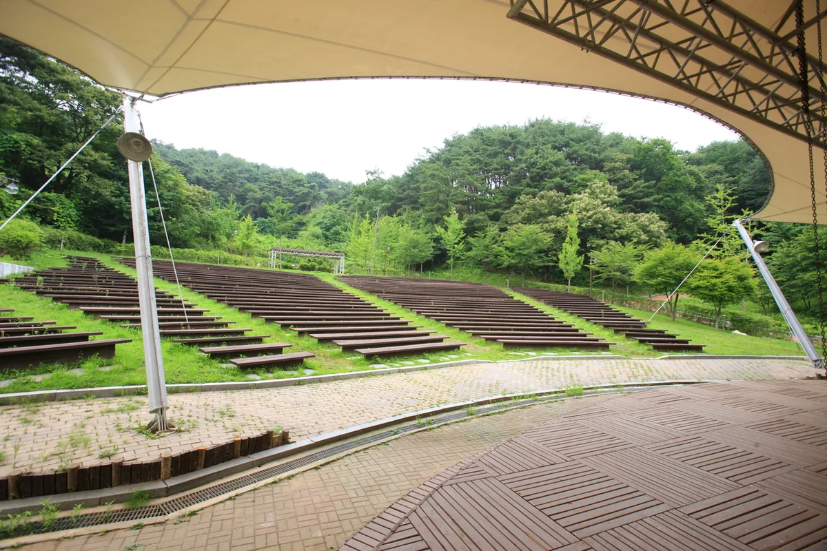 Photo: Korea Tourism Organization Tourist Photo Gallery (Yangpyeong, Gyeonggi-do) · KOGL
| Trail (trailhead → summit) | Distance | Elevation gain | Est. time (one-way) | Difficulty | Popularity |
|---|---|---|---|---|---|
| Yongmunbong trailhead entrance → Yongmunbong | 8.92km | ↕953m | approx. 3h 49m | ★★★★★ | ★★★☆☆ |
| Fork → Yongmunsan summit | 8.2km | ↕903m | approx. 3h 33m | ★★★★★ | ★★★★☆ |
| Fork → Summit | 9.54km | ↕838m | approx. 3h 47m | ★★★★★ | ★★★★★ |
| Yongmunsa entrance → Janggunbong | 11.54km | ↕845m | approx. 4h 18m | ★★★★★ | ★★★★☆ |
| Gyeonggi Yangpyeong Station → Rigida pine plantation zone | 8.83km | ↕902m | approx. 3h 43m | ★★★★★ | ★★★☆☆ |
※ Source: Korea Hiking & Trekking Support Center’s Top 100 Mountains GPX data (distance, elevation, time, difficulty) · popularity is a reference figure
Course 1 — Yongmunbong Trailhead → Yongmunbong
Route: Yongmunbong trailhead → Yongmunbong → fork → Madangbawi (courtyard rock)
Getting to the trailhead: The Yongmunbong trailhead sits in a different direction from Yongmunsan’s main trail, so it’s generally easier to reach by car or taxi than by public transit. I’d recommend checking the exact approach on Kakao Map or Naver Map ahead of time.
What it’s like, who it’s for: This is a ridge-style course that runs up through Yongmunbong toward the summit, and it starts climbing steadily right from the beginning. Near Madangbawi the trees open up and you get a nice view of the rocky ridgeline. It suits experienced hikers who enjoy a quiet ridge walk and rocky terrain, but it’s a pretty demanding route for beginners.
Course 2 — Fork → Yongmunsan Summit
Route: Fork → Rest platform → Yongmunsan Summit
Trailhead access: This course cuts straight up to the summit from a fork partway up the mountain, so it’s mostly used in combination with other routes rather than on its own. For the lower trailhead, the usual approach is via the Yongmunsan tourist area / Yongmunsa Temple side, typically reached by bus or taxi from Yongmun Station on the Jungang Line.
Highlights and who it’s for: It’s a fairly direct climb to the summit, passing a rest spot called “the platform” along the way — an efficient choice if your main goal is just getting to the top. Near the summit, there are stretches where the ridge views open up, making this a good pick for hikers with solid stamina.
Course 3 — Fork → Summit
Waypoints: Fork → Rest area → Baengnyeon Spring (Hundred-Year Spring)
Trailhead access: This stretch connects to the main hiking trail coming up from the Yongmunsa direction, and the usual approach is by bus or taxi to the entrance of the Yongmunsan tourist area, then on foot from there. There’s a large parking area near the Yongmunsan tourist area, so driving in is reportedly common as well.
Highlights & who it suits: Running past Baengnyeon Spring, this is considered one of the most heavily used, classic routes to the summit of Yongmunsan. It follows the typical pattern of a long wooded stretch that gives way to rocky ridgelines and rock sections higher up, and it’s the go-to recommendation for most hikers whose main goal is simply reaching the summit.
Course 4 — Yongmunsa Entrance → Janggunbong
Route: Yongmunsan tourist area → ticket booth → family restroom → Eco-Friendly Agriculture Museum → Korean National Independence Movement Birthplace → Yongmunsa entrance → Yongyujeong → Yongmunsa Cheonwangmun (Gate of the Four Heavenly Kings) → Yongmunsa Temple Stay → Yongmunsa gingko tree → Yongmunsa → fork in the trail → bench
Getting to the trailhead: The Yongmunsa entrance sits right at the mouth of the Yongmunsan tourist area, so you’ll pass through the ticket booth on your way in. If you’re taking public transit, the usual route is to take the Jungang Line to Yongmun Station and transfer to a bus from there. Since it’s a tourist area, there’s decent parking on site too, so access is pretty easy either way.
Highlights & who it suits: The defining feature of this course is that it takes you past cultural sites and tourist facilities like the Yongmunsa gingko tree and the Cheonwangmun gate — so it’s less a straight hike and more a temple visit combined with one. That said, this is the longest of the five courses, so it’ll take more out of you physically. It’s a good fit for hikers who want to combine some cultural sightseeing with a summit push, but make sure you budget plenty of time.
Course 5 — Gyeonggi Yangpyeong Station → Rigida Pine Plantation
Route: Gyeonggi Yangpyeong Station → Fork 3 → Fork 4 → Rest Area → Pine Grove → Fork 7 → Viewpoint → Fork 10 → Chestnut Plantation → Rigida Pine Planting Area → Rigida Pine Plantation → Rest Area/Exercise Facilities → Fork 16 → Fork 24 → Hyeongje Well Spring
Getting to the trailhead: This route lets you walk straight from Yangpyeong Station, making it the most transit-friendly of the five courses. Just take the Jungang Line to Yangpyeong Station and start hiking — no bus transfer needed.
Highlights & who it’s for: This course winds through several planted forests — a pine grove, a chestnut plantation, a Rigida pine plantation — giving you a distinctive mix of man-made and natural woodland scenery. It’s especially handy if you’re planning a hike using public transit alone, thanks to the easy access from the city center. And near the end of the route, Hyeongje Well Spring is known as a good spot to quench your thirst.
Difficulty, Terrain & Cautions
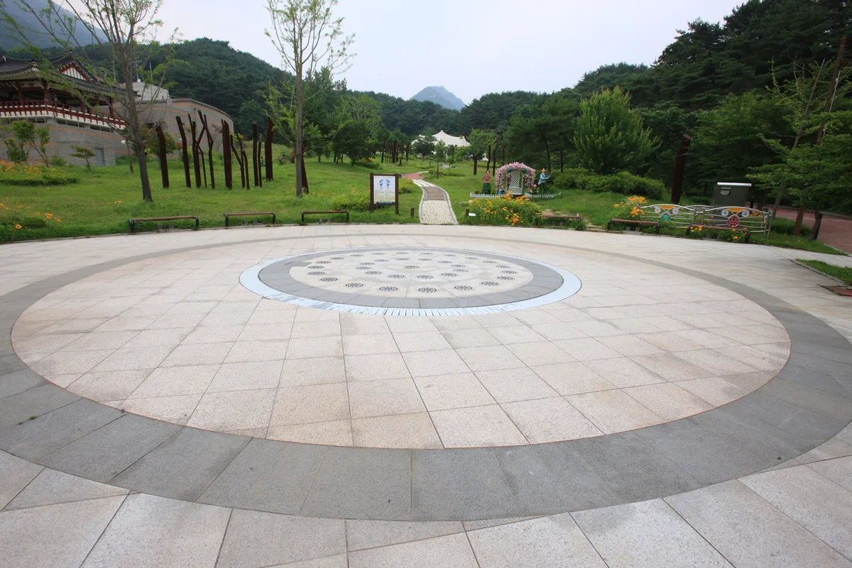 Photo: Korea Tourism Organization Tourism Photo Gallery (Yangpyeong, Gyeonggi-do) · KOGL Type 1
Here’s a breakdown of the registered trail sections in the district, along with their difficulty and distance.
| Section (by administrative division) | Distance | Difficulty | Terrain |
|---|---|---|---|
| (unnamed section) | 10.79km | Easy | - |
| Yeonsu-ri section | 4.78km | Easy | - |
| Sinjeom-ri section | 1.56km | Easy | - |
Keep in mind that these sections are divided by administrative boundary, not by actual hiking course names. The real summit routes, as we covered earlier, are mostly demanding climbs with over 800m of net elevation gain. As for terrain, the lower forest paths alternate between dirt trail and patches of fallen leaves, but higher up along the ridge and near the summit you’ll hit exposed rock and bedrock — so watch your footing carefully in rainy weather or when things ice over in winter. There are three known viewpoints along the course where the ridge opens up and gives you a clear view, and no designated hazard zones or emergency shelters have been identified on this route.
Distance and Time Needed
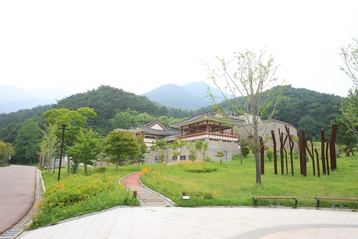 Photo: Korea Tourism Organization photo gallery (Yangpyeong, Gyeonggi-do) · KOGL
Reaching the summit of Yongmunsan is easily doable as a day hike — no overnight stay needed. The combined ascent time across all trails in the area adds up to roughly 370 minutes, with descents totaling around 257 minutes, but that’s a sum across multiple route segments, not the time for any single trail, so don’t mistake it for how long one specific course takes. Converting that aggregate into a per-distance figure works out to an average ascent pace of about 22 minutes per kilometer. Applied to the actual summit routes, that lines up reasonably well with GPX-based estimates putting the 8–11 km courses at roughly 3 hours 30 minutes to 4 hours 20 minutes. That said, it’s just an average pace — your actual time will depend on your fitness level and how many breaks you take. If you’re planning a round trip, give yourself more than double the one-way time, and start early enough that you’re not coming down the mountain late in the afternoon.
Getting There (Public Transit & Parking)
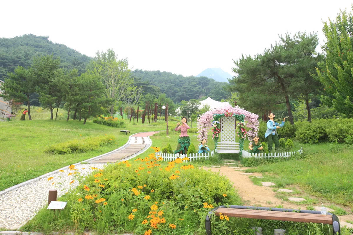 Photo: Korea Tourism Organization photo gallery (Yangpyeong, Gyeonggi-do) · KOGL
The nearby Jungang Line stations of Yongmun and Yangpyeong serve as the main gateways to Yongmunsan. For the routes toward the Yongmunsan tourist area and Yongmunsa Temple, you’ll typically transfer to a bus or taxi from Yongmun Station, while other routes — like the one through the red pine plantation — let you start walking straight from Yangpyeong Station. Bus stops confirmed near the actual trailheads include Yongmunsan, Ansikgwan-ipgu, Yangpyeong Station, and Yangpyeong Market entrance, so just pick whichever stop matches the course you’re heading for. That said, bus routes and schedules can shift depending on the season, so it’s worth double-checking real-time routes and stop locations on KakaoMap or Naver Map before you head out. If you’re driving, there’s parking available near the tourist area, though I couldn’t confirm any dedicated lot for the trail itself — so your best bet is just to use the tourist area parking.
Season, Weather & Gear
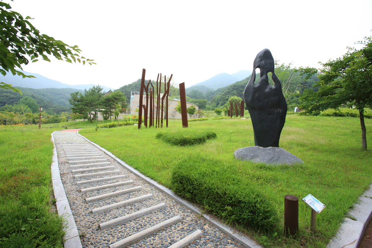 Photo: Korea Tourism Organization Photo Gallery (Yangpyeong, Gyeonggi-do) · KOGL
Yongmunsan is especially worth visiting in spring, when the fresh greenery is at its deepest, and in fall, when the foliage puts on a spectacular show. In summer, the valley streams run higher and the humidity climbs, making the hike feel noticeably tougher, so it’s worth setting off early and drinking plenty of water. In winter, ice can form along the summit ridge and the rocky sections, so crampons and gaiters (or similar cold-weather, anti-slip gear) are a must. Across all seasons, pack sturdy hiking boots, plenty of water (there are almost no water refill spots on the trail, so bring more than you think you’ll need), a waterproof windbreaker, trekking poles, and a change of clothes. It’s also worth carrying a headlamp regardless of season, just in case your descent runs later than planned.
Tips for Foreign Travelers
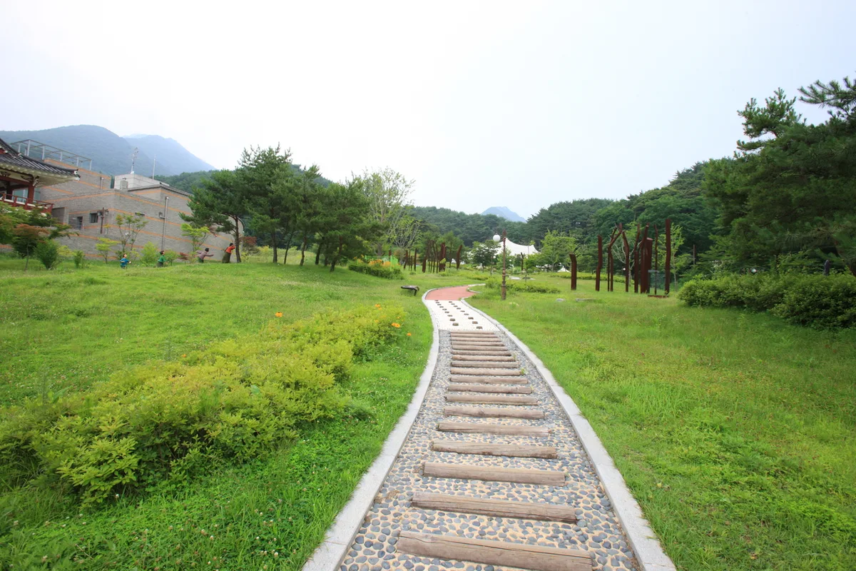 Photo: Korea Tourism Organization Photo Gallery (Yangpyeong, Gyeonggi-do) · Public Nuri
The romanized name is Yongmunsan, with the peak listed as Yongmunsan Summit and the main temple as Yongmun Temple (용문사). It’s a regular mountain rather than a national park, so you don’t need a separate hiking permit — but the Yongmunsan tourist area and the Yongmun Temple grounds may charge admission, so it’s worth checking before you go. Restrooms are available near the entrance to the tourist area and around the ticket booth, but there’s almost no drinking water available along the trail itself, so bring plenty with you. As for maps, Google Maps often doesn’t have accurate trail info here, so it’s better to install KakaoMap or Naver Map — the two apps Koreans actually use — for real trail routes and public transit info. For safety, plan to finish your descent before dark, and it’s a good idea to keep your phone charged and have an emergency contact on hand.
Other Nearby Mountains
- Chuncheon’s Samaksan, with its granite sawtooth ridge overlooking Uiam Lake — about 42 km away as the crow flies
- Hongcheon’s Gongjaksan, ringed by a ridge of old pines around Gurun Reservoir — about 44 km away as the crow flies
📍 Mount Yongmun in Gyeonggi: A Thousand-Year-Old Ginkgo and a Rocky RidgeLocation
Contact: bumseok.view [at] gmail [dot] com
Related posts
-

A Granite Ridge Holding Thousand-Year-Old Rock-Carved Buddhas: Namsan in Gyeongju
-
Grand Unjangsan: A Ridge Linking Multiple Peaks in Jinan
-

Ridge After Ridge in the Yeongnam Alps: Unmunsan in Cheongdo and Miryang
-
Ridge After Ridge, Hugging a Reservoir: The 'Alps of Chungnam,' Cheonggyesan in Cheongyang
Comments