Serrated granite ridges overlooking Uiamho: Samaksan, Chuncheon
Hiking · Published 7/19/2026 ·
등산로 트랙·시설 (공공데이터: 전국등산로 공간정보) · 🚩시종점 💧음수대 👁️조망점 🏠대피소 🅿️주차장 ⚠️위험 · 지도 © OpenStreetMap ⤓ GPX 다운로드
At a Glance
| Category | Rating |
|---|---|
| Accessibility (Transit & Parking) | ★★☆☆☆ |
| Trail Difficulty | ★★★☆☆ |
| Water Access (Springs/Sources) | ★☆☆☆☆ |
| Overnight Stay Required? | ★☆☆☆☆ (A day trip is plenty) |
| Seasonal Difficulty: Spring | ★★☆☆☆ |
| Seasonal Difficulty: Summer | ★★★☆☆ |
| Seasonal Difficulty: Fall | ★★☆☆☆ |
| Seasonal Difficulty: Winter | ★★★★☆ |
※ Source: Korea Forest Service trail data. Accessibility and seasonal ratings are for reference only.
Overview
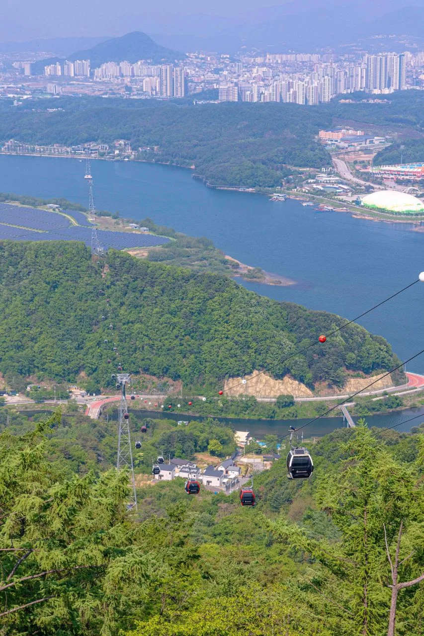 Photo: Korea Tourism Organization Photo Gallery (Samcheon-dong, Chuncheon, Gangwon-do) · KOGL
Rising above the Bukhan River and Uiam Lake, Samaksan stretches across the Seomyeon and Sindong-myeon areas of Chuncheon. The summit is defined by a series of ridges centered around the main peak, Yonghwabong (654m). It’s widely known as an easy-to-reach destination for those traveling from the Seoul metropolitan area via public transit, thanks to its proximity to Gangchon Station and Uiam Dam. In terms of difficulty, it’s generally classified as “intermediate.” Depending on the route you choose, you can either enjoy a quick round-trip hike or commit to a full day of trekking along the longer ridge trails.
Terrain and Topography
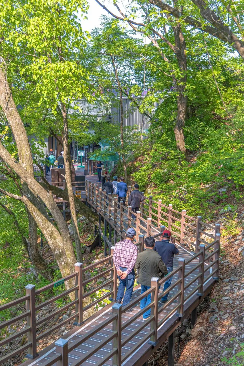 Photo: Korea Tourism Organization Photo Gallery (Samcheon-dong, Chuncheon, Gangwon-do) · Public Nuri
Samaksan isn’t your typical gentle, dirt-path mountain. It’s a much more rugged landscape defined by granite peaks and dramatic rock cliffs, featuring a mix of rocky ridges and some pretty steep sections.
According to the Korea Forest Service’s spatial data, the main peaks include Samakjwa Peak (383m), Deungseon Peak (632m), Cheongun Peak (536m), Yonghwa Peak (654m), and the summit area at 767m. You might notice some overlapping altitudes in the records—for instance, Yonghwa Peak is listed as both 654m and 675m in different places—so it’s probably best to just stick to the physical trail signs once you’re actually out on the hike.
Looking at it from the direction of Gangchon, the ridges have a striking, saw-toothed appearance. On the other hand, toward Uiam Lake and the Bukhan River, the slopes drop off sharply, providing plenty of spots to catch some wide-open views.
The Vibe of the Hike
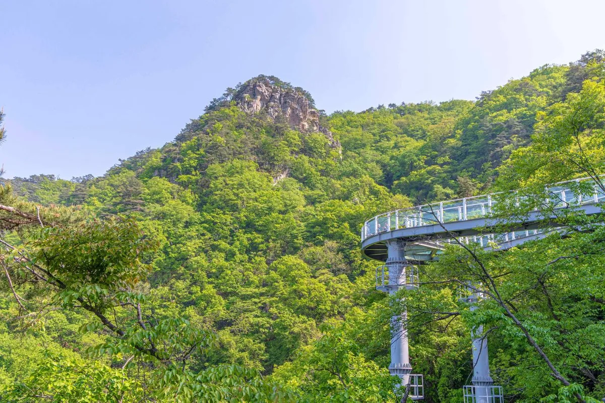 Photo: Korea Tourism Organization Photo Gallery (Samcheon-dong, Chuncheon-si, Gangwon-do) · KOGL
The trail starts off relatively gentle, winding through a mix of broadleaf trees and pines. But as you approach the ridge, the difficulty definitely ramps up with frequent granite outcrops, ropes, and stair sections. Once you reach the summit or the ridges, though, the views really open up—offering sweeping vistas of the Bukhangang River, Uiamho Lake, and the villages around Gangchon. The scenery is quite striking with the changing seasons: lush greenery and azaleas in the spring, or vibrant autumn foliage along the ridges. Just keep in mind that the difficulty really depends on when you go; summer can be a bit of a struggle with the humidity in the valleys, and winter brings its own set of challenges with icy rock sections.
Main Trails (by trailhead)
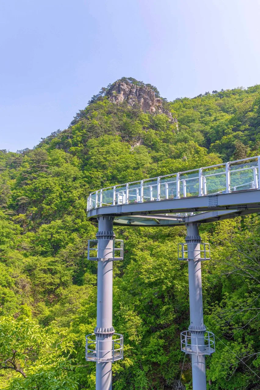 Photo: Korea Tourism Organization Photo Gallery (Samcheon-dong, Chuncheon, Gangwon State) · Public Nuri
The following sections are registered in the Korea Forest Service’s hiking trail database. Please note that these are categorized by administrative district rather than specific trail names, so they represent the total length of segments in those areas.
| Section (by administrative district) | Distance | Difficulty | Terrain |
|---|---|---|---|
| Deokduwon-ri Section | 13.3km | Easy/Moderate | - |
| (Unnamed Section) | 5.11km | Easy | - |
| Dangnim-ri Section | 2.33km | Easy | - |
| Geumseonsa Section | 1.68km | Easy | - |
| Jeongyangsa Section | 1.5km | Easy | - |
※ Just a heads-up: these figures are based on administrative districts, and the total combined length is 23.92km (the sum of all trails in the area). Please don’t mistake these for single-path distances.
On a separate note, I’ve listed the routes to the summit below, based on GPS data from the Korea Hiking & Trekking Support Center’s “100 Famous Mountains” project. The peak reaches a maximum elevation of 918m.
| Course (Trailhead → Summit) | Distance | Elevation Gain | Est. Time (One-way) | Difficulty | Popularity |
|---|---|---|---|---|---|
| Bangdong 2-ri Entrance (Bangdong Health Clinic) → Summit | 17.67km | ↕807m | Approx. 5h 46m | ★★★★★ | ★★☆☆☆ |
| Seosang 2-ri Terminus → Summit | 12.64km | ↕729m | Approx. 4h 23m | ★★★★★ | ★★☆☆☆ |
| Parking Lot → Small Chotdaebong | 34.27km | ↕817m | Approx. 9h 56m | ★★★★★ | ★☆☆☆☆ |
| Ssarijae Entrance → Gyegwansan Summit | 12.14km | ↕760m | Approx. 4h 18m | ★★★★★ | ★☆☆☆☆ |
| Jangjeol-gong Entrance → Summit | 12.41km | ↕793m | Approx. 4h 25m | ★★★★★ | ★★☆☆☆ |
| Hongje Terminus → Mt. Mongdeok Summit | 25.9km | ↕798m | Approx. 7h 48m | ★★★★★ | ★★☆☆☆ |
| Bangdong 1-ri (Jangjeol-gong) → Summit | 11.05km | ↕752m | Approx. 4h 1m | ★★★★★ | ★★☆☆☆ |
| Fire Lookout → Mountain Summit | 18.64km | ↕675m | Approx. 5h 47m | ★★★★★ | ★☆☆☆☆ |
※ Source: Korea Hiking & Trekking Support Center (GPX data for distance, elevation, and time) · Popularity is an estimate.
Course 1 — Bangdong 2-ri Entrance (Bangdong Public Health Center) → Summit
Route: Bangdong 2-ri Entrance (Bangdong Public Health Center) → Parking Lot → Bangdong 2-ri → Bangdong 2-ri Village Hall → Village Hall Parking Lot → Rest Area → Fork in the Road → Cemetery → Trail View → Water Source Protection Zone & Forest Relaxation Area Signage → Chuncheon Sky Camping Ground → Yangjimal → Bangdong-ri Terminus
Getting There: Bangdong 2-ri is a quiet village on the outskirts of Chuncheon. While there are local buses that run this way, they aren’t exactly frequent, so I’d definitely recommend checking the real-time schedule before you head out. If you’re driving, there should be some parking space near the Bangdong Public Health Center, but don’t expect a large-scale dedicated parking lot.
Notes & Recommendations: The first stretch follows village paths and small rest areas as you gradually work your way up in elevation. Because the area is a protected water source zone, the forest is incredibly lush and well-preserved. This is a long, demanding trek, so it’s best suited for experienced hikers with plenty of stamina and time to spare.
Course 2 — Seosang 2-ri Terminus → Summit
Route: Seosang 2-ri Terminus → Rest Area → Restroom → Parking Lot → Fork in the Trail → Low-Carbon Green Growth Forest → Start of Forestry Road → Trail Section → Upper Valley Stream → Lookout Point → Dead Trees → Seed Forest Environmental Improvement Area → Restricted Development Zone Marker → Check Dam → Entry Control Sign
Access: Since the Seosang 2-ri terminus is equipped with both restrooms and a parking lot, it’s actually much more convenient to start here than at other trailheads. Just a heads-up, though: if you’re using public transit, you’ll be relying on the local village bus, so you’ll definitely want to check the schedule ahead of time.
Characteristics & Recommendations: This route follows the upper reaches of a valley and passes through a scenic lookout point. You’ll see various traces of forest management along the way, such as dead trees and seed forest environmental improvement areas. Because of the amenities at the start, this is a great starting point for hikers who need easy access to parking and restrooms.
Course 3 — Parking Lot → Small Chotdaebong
Via: Parking Lot → Deokduwon 1-ri (2nd Section) → Junction → Mountain Weather Station → Seokparyeong Pass → Rest Area → National Grid Reference → Lookout Point → Signpost → Natural Scenery → Graveyard → Small Chotdaebong → Larch Colony → Trail View → Fir Tree Colony
Access: The hike starts from the parking lot toward Deokduwon-ri. This section overlaps with the 13.3km “Deokduwon-ri” segment (rated easy/intermediate) in the Korea Forest Service’s trail database, so you can expect a relatively well-maintained approach.
Features & Recommendations: This is the longest trek in the series—a serious 34.27km ridge-walking course. You’ll pass through Seokparyeong Pass and wander through beautiful larch and fir colonies, offering a great look at the local forest ecology. It’s best suited for experienced hikers who can dedicate an entire day, or anyone looking to tackle the route in smaller sections.
Course 4 — Ssarijae Entrance → Gyegwansan Summit
Route: Ssarijae Entrance → Ssarijae Village → Ssarijae Terminal → Junction → National Location Marker → Signpost → Wild Boar Area → Birch Forest Colony → Oak Forest Colony → Gyegwansan Summit → Rest Area → Mori Pension
Access: The Ssarijae entrance is accessible via the village road. With accommodations like Mori Pension nearby, getting there by car is quite convenient. Public transit is a bit limited in this area, so driving is definitely your most practical option.
Features & Recommendations: This section features beautiful deciduous forests, characterized by lovely groves of birch and oak trees. Just a heads-up: there are signs warning about wild boars, so I’d recommend hiking with a companion rather than going solo. Since the trail is mostly shaded forest paths, it’s an excellent choice for anyone looking to stay cool during the summer.
Course 5 — Jangjeolgong Entrance → Summit
Via: Bangdong 1-ri → Protected Tree → Chuncheon Dr. Village → Jangjeolgong Entrance → Hazard Zone → Trailhead → Trail View → Fork in the road → Cemetery → Oriental Oak Grove → Lookout Point → Korea Forest Service Wireless Relay Station → National Geographic Location Number → Trail View
Getting Started: After passing through Bangdong 1-ri—affectionately known as “Chuncheon’s Doctor Village”—you’ll head toward the Jangjeolgong entrance. The walk through the village outskirts near the old protected tree is quite easy, but public transport can be a bit limited in this area, so I’d recommend checking the bus schedules before you head out.
Features & Who It’s For: This section includes areas marked with hazard signs, so you’ll need to keep a sharp eye out. While the route takes you through lovely Oriental Oak groves and offers some great lookout points, please pay close attention to the safety signage. Since the path passes near forest service facilities (like wireless relay stations), it has a bit of a “service road” feel to it. It starts off relatively gentle, making it an ideal choice for those who want a hike that builds a bit of tension as you go.
Course 6 — Hongjeok Terminus → Mt. Mongdeok Summit
Route: Hongjeok Terminus → Junction → National Grid Reference → Information Center → Signpost → Mt. Mongdeok Summit → Mt. Gadeok Summit → Rest Area → Mt. Bukbae Summit → Lookout Point → Slippery Slope Warning → Fall Hazard → Mt. Bonap Summit → Parking Lot → Restrooms
Access: This is a ridge-traversing course that starts at the Hongjeok Terminus and winds through several peaks—Mt. Mongdeok, Mt. Gadeok, Mt. Bukbae, and Mt. Bonap. It’s helpful having an information center right at the start to get your bearings. On the flip side, the parking and restroom facilities at the end of the trail are relatively well-equipped.
Characteristics & Recommendations: Since you’ll be crossing four peaks in a row along the ridge, keep a sharp eye on those “slippery” and “fall hazard” signs—they’re definitely there for a reason! This route is perfect for experienced hikers looking to soak in sweeping views of multiple peaks all at once, but I wouldn’t recommend it for beginners.
Difficulty, Terrain, and Safety Notes
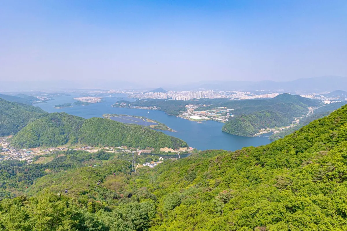 Photo: Korea Tourism Organization Photo Gallery (Samcheon-dong, Chuncheon-si, Gangwon-do) · Public Nuri
According to the Korea Forest Service’s trail data, the highest difficulty rating for the registered sections of Samaksan is “moderate,” and specific terrain types aren’t officially listed. Interestingly, the official data shows zero registered danger zones, viewpoints, water fountains, shelters, or designated trailheads/exits. This means you shouldn’t just rely on onsite signs; checking a map beforehand is definitely the way to go.
That said, looking at individual GPX waypoints tells a different story. You’ll encounter actual danger zones (Course 5), viewpoints (Courses 2 and 5), and cautionary signs for slippery terrain or steep drops (Course 6). Be sure to keep a sharp eye on the signage when you hit those sections. Since the rocky, craggy areas can get quite slippery in the rain and freeze over easily in the winter, I’d highly recommend bringing some crampons or microspikes for those parts.
Distance and Duration
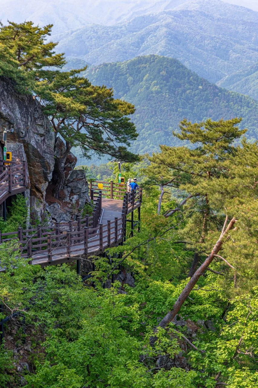 사진: 한국관광공사 관광사진 갤러리 (강원특별자치도 춘천시 삼천동) · 공공누리
According to spatial data from the Korea Forest Service, the total length of the trails in this area adds up to 23.92km across several different sections. The recorded times—634 minutes for the ascent and 444 minutes for the descent—are cumulative totals. If you divide those times by the distance, you get an average ascent pace of about 27 minutes per kilometer. Just a heads-up, though: this is the cumulative pace for walking the entire area combined, not the time it takes to complete a single trail.
Based on GPX measurements for the “Top 100 Mountains,” routes to the summit typically range from 11 to 34km one way, taking anywhere from 4 to 10 hours. While most of these can be managed as a round trip in a single day, the longest route (Parking Lot → Jageun Chotdaebong, 34.27km) or the longer ridge-line treks (Hongjeok Terminus → Mt. Mongdeok Summit) definitely require an early start and plenty of wiggle room in your schedule. Since there aren’t any designated shelters on these trails, I’d highly recommend planning your itinerary so you can make it back down well before sunset.
Getting There (Public Transit & Parking)
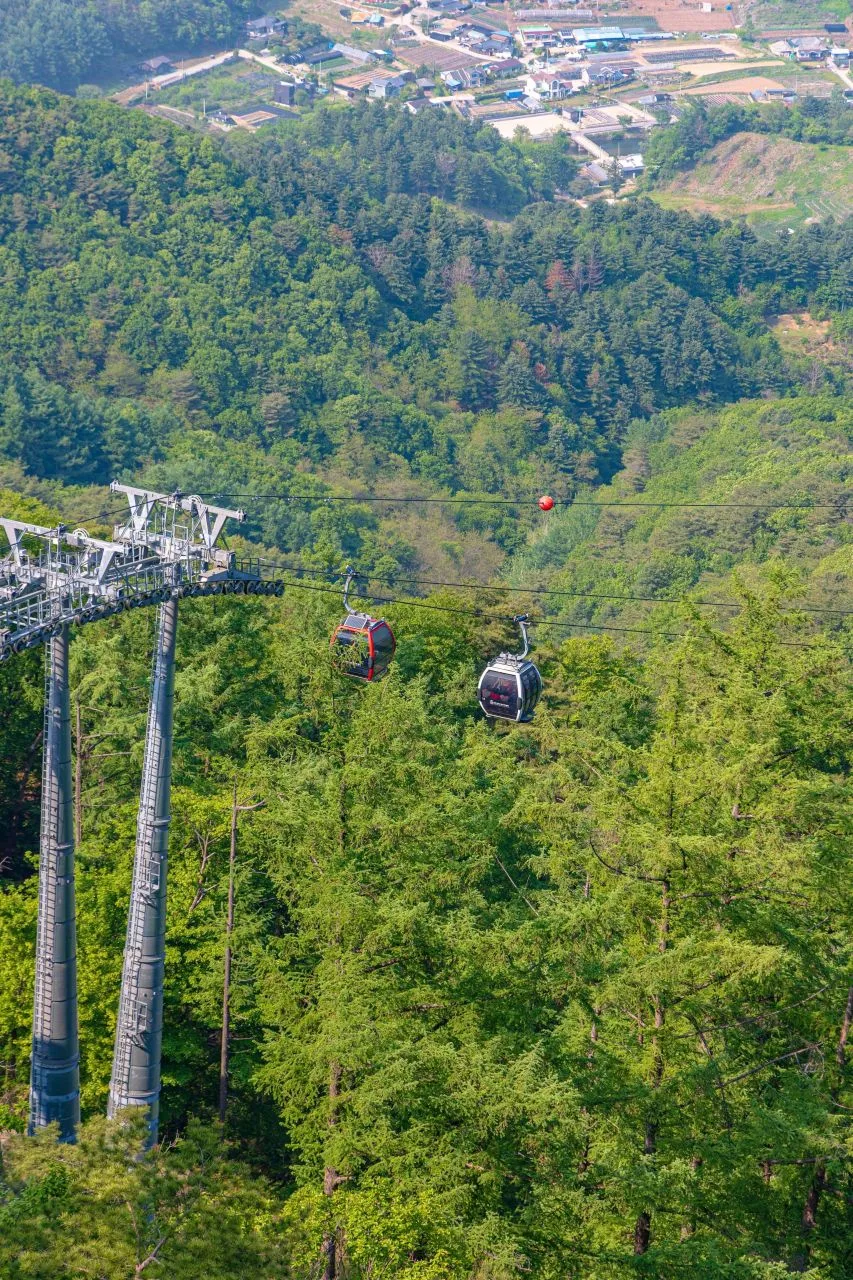 Photo: Korea Tourism Organization Photo Gallery (Samcheon-dong, Chuncheon-si, Gangwon-do) · KOGL
The standard way to get here from the Seoul metropolitan area is to take the Gyeongchun Line—either an ITX-Cheongchun or a Mugunghwa train—to Gangchon Station, then catch a local bus or walk toward the trailhead. If you’re looking for actual stops near the start, “Gangchon Ip-gu” and “Bongdeoksa Ip-gu” are the main ones; you can use these as landmarks to estimate how much walking is ahead of you.
That said, if your starting point is near outlying villages like Bangdong-ri, Seosang-ri, or Ssarijae, public transit is pretty infrequent, so driving is much more practical. Just a heads-up: official parking lots aren’t listed in the local data (it shows as zero), so you might need to pull over on the shoulder or find an empty lot near a village. I’d definitely suggest double-checking transit schedules and walking routes on KakaoMap or Naver Map before you actually head out.
Season, Weather & Gear
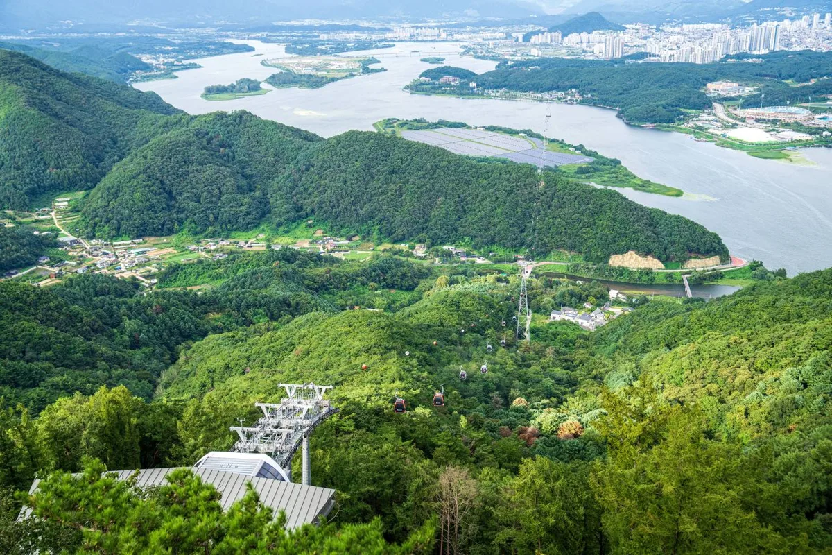 Photo: Korea Tourism Organization Photo Gallery (Samcheon-dong, Chuncheon, Gangwon-do) · KOGL
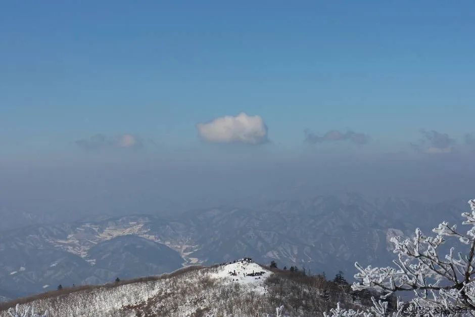
The best times to hit the trails are in the spring (April–May) when the fresh greenery comes out, or in the autumn (late September to early November) to catch the foliage. In the summer, you’ll need to be careful with the heat and humidity in the valley areas, as well as potential rockfalls or slippery paths during the monsoon season. During winter, crampons and gaiters are a must to handle icy, rocky sections. For your basic gear, I’d recommend hiking boots, extra layers, a headlamp, gloves, and trekking poles. Also, make sure to bring plenty of water—I’ve found there are virtually no water fountains on the trail, so I’d suggest carrying at least 1–1.5L.
Tips for International Travelers
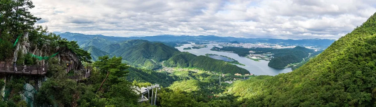 Photo: Korea Tourism Organization Photo Gallery (Samcheon-dong, Chuncheon, Gangwon-do) · KOGN
The main peaks along the ridge include Yonghwabong (654m), Deungseonbong (632m), Cheongunbong (536m), and Samakjwabong (383m). I haven’t found any specific permits or entry fees required, but since this is a locally managed mountain rather than a National Park, it’s wise to check for seasonal closures on-site (keep an eye out for “Entry Restriction” signs, especially if you’re taking Course 2).
As for amenities, toilets and water stations are only available at certain trailheads or endpoints—specifically near the Seosang 2-ri terminus and around the Hongjeok terminus information center. There are no water sources along the ridge, so please make sure you pack plenty of water before you set off.
A little heads-up: Google Maps can be pretty unreliable when it comes to hiking trails in Korea. I’d highly recommend downloading the KakaoMap or Naver Map apps beforehand to check real-time routes and public transit info. Also, watch out for signs warning of danger zones, steep drops, or slippery paths. It’s a good idea to use a translation app to check the Korean text on these signs, and for your own safety, I’d suggest hiking with a companion rather than going solo.
Other Nearby Mountains
- Dobongsan, Seoul’s rugged granite peak — approx. 58km (as the crow flies)
- Bukhansan, with granite ridges right on the edge of downtown Seoul — approx. 65km (as the crow flies)
- Gwanaksan, home to the saw-toothed Palbong Ridge and Yeonjudae peak — approx. 78km (as the crow flies)
📍 Serrated granite ridges overlooking Uiamho: Samaksan, ChuncheonLocation
Contact: bumseok.view [at] gmail [dot] com

Comments