Old Pine Ridge Wrapping Around Gulun Reservoir, Hongcheon Gongjak Mountain
Hiking · Published 7/30/2026 ·
등산로 트랙·시설 (공공데이터: 전국등산로 공간정보) · 🚩시종점 💧음수대 👁️조망점 🏠대피소 🅿️주차장 ⚠️위험 · 지도 © OpenStreetMap ⤓ GPX 다운로드
At a Glance
| Metric | Rating |
|---|---|
| Accessibility (public transit/parking) | ★★☆☆☆ |
| Trail difficulty | ★★☆☆☆ |
| Water/springs on the mountain | ★☆☆☆☆ |
| Overnight stay needed | ★★★☆☆ (one night if doing the full traverse) |
| Seasonal difficulty — Spring | ★★☆☆☆ |
| Seasonal difficulty — Summer | ★★★☆☆ |
| Seasonal difficulty — Fall | ★★☆☆☆ |
| Seasonal difficulty — Winter | ★★★★☆ |
※ Source: Korea Forest Service trail geospatial data · accessibility and seasonal ratings are for reference only
Overview
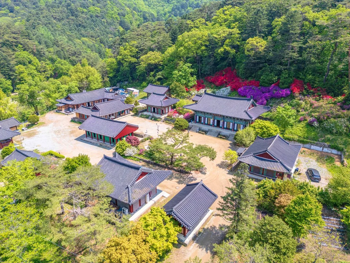 Photo: Korea Tourism Organization photo gallery (Dongmyeon, Hongcheon-gun, Gangwon State) · KOGL
Gongjaksan (孔雀山) sits in the Hwachon-myeon area of Hongcheon-gun, Gangwon State. The summit elevation was long listed as 886m based on the old peak marker, but GPS track data actually shows the course’s highest point reaching 923m. It’s not a jagged, rocky peak overall, but the elevation gain steepens noticeably as you approach the summit area. A number of routes run 8–14km one way from various trailheads to the top, so this is less a quick outing than a hike that eats up a full day. Pick one of the shorter, easily accessible routes and a same-day round trip is doable — but if you go for one of the traverse routes that string together several summit-area peaks, expect the distance and time to add up fast.
Terrain and Landscape
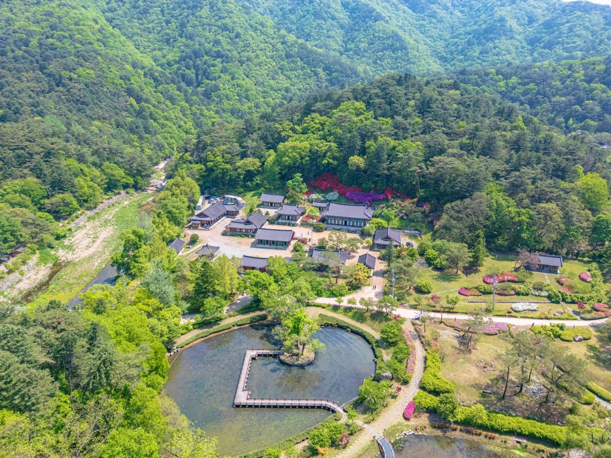 Photo: Korea Tourism Organization Photo Gallery (Dong-myeon, Hongcheon-gun, Gangwon Special Self-Governing Province) · KOGL
Gongjaksan isn’t really a “bone mountain” (골산) with jagged rock peaks jutting up one after another — it’s closer to a “flesh mountain” (육산) with gently rolling ridgelines. That said, the summit area is anything but simple, with a string of peaks rising one after the other. Just going by what’s registered in public data, the ridge carries a whole lineup of named high points at varying elevations: Yaksubong Peak (557m), Yaksubong 558 (537m), Suribong (820m) (789m), Suribong (755m) (773m), Gongjaksan Suribong Peak (780m), Peak 640 (652m), Gosaribong (466m), and the former Gongjaksan summit marker site (886m). This dense clustering of peak names and elevations tells you Gongjaksan isn’t the kind of mountain with one sharp summit — it’s a “connected-peaks” (연봉) type, where several summits sit shoulder to shoulder along the ridge. Partway through the course, you’ll pass through broad stretches of mixed conifer and broadleaf forest — old pine groves, Korean pine stands, larch plantations, oak groves — so as you walk the ridge, you can actually feel the tree species shifting under your feet.
Feel of the Hike
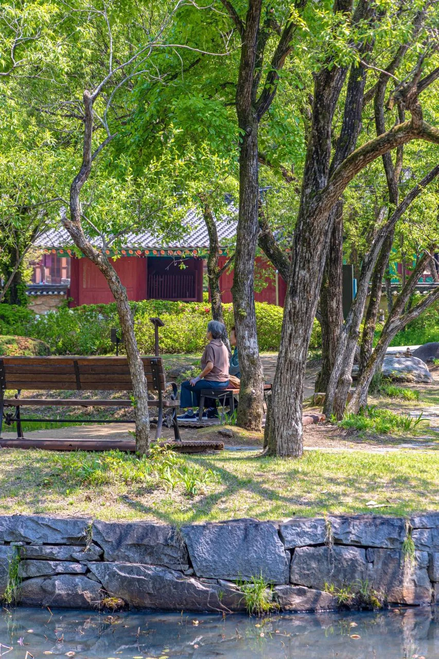 Photo: Korea Tourism Organization Photo Gallery (Dong-myeon, Hongcheon-gun, Gangwon Special Self-Governing Province) · KOGL
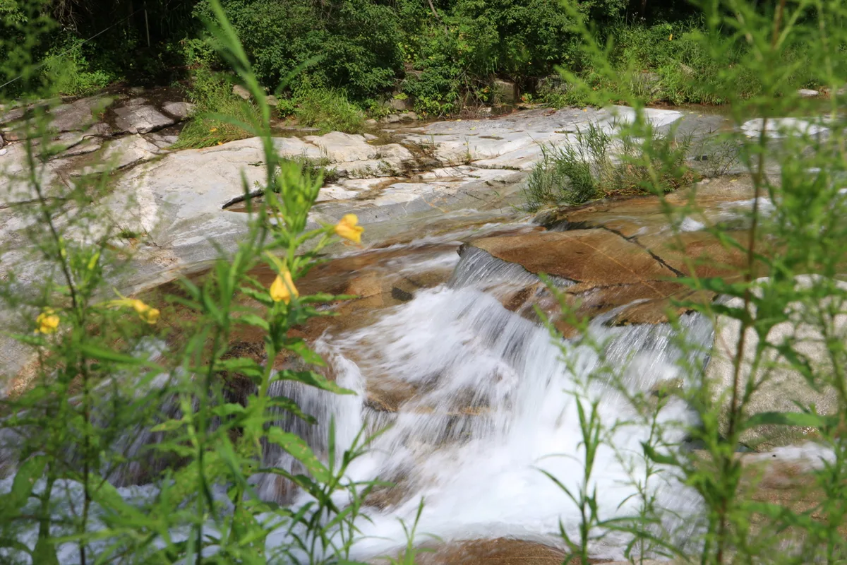
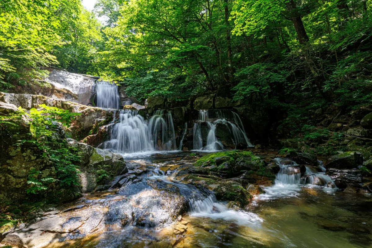
The Gongjak Mountain hike starts out with gentle forest paths, but past the midpoint you move through dense conifer stretches—old pine groves, Korean pine plantations—where the shade thickens noticeably. Depending on the route, you’ll also pass water features like Gongjak Falls, Gurun Reservoir, and check dams, which gives parts of the hike the feel of a valley walk. Near the summit viewpoint the trees open up for a bit, but overall the forested sections dominate, so it’s a decent choice for shaded hiking even in the thick of summer. That said, a lot of the routes run long one-way, so fatigue tends to build the further you go, and on the traverse-style courses in particular, you’ll pass stretches marked “caution: fall risk” or “danger of falling,” which keep you on your toes. In fall, the larch and oak groves turn the whole course a warmer color, and in spring, the fresh green does the same in its own way.
Main Routes by Trailhead
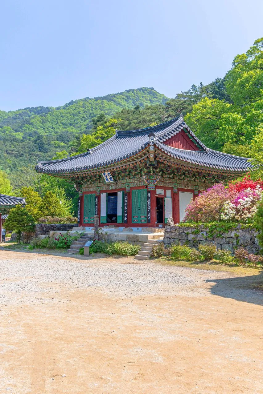 Photo: Korea Tourism Organization Photo Gallery (Dong-myeon, Hongcheon-gun, Gangwon State) · KOGL
| Route (trailhead → summit) | Distance | Elevation gain | Est. time (one-way) | Difficulty | Popularity |
|---|---|---|---|---|---|
| Gongjak-gyo Bridge → Summit | 8.19km | ↕601m | ~3 hr 3 min | ★★★★☆ | ★★★★★ |
| Gongjaksan Trailhead Parking Lot/Restroom → Summit | 12.86km | ↕714m | ~4 hr 24 min | ★★★★★ | ★★★★☆ |
| Gurun Reservoir Stop → Summit | 12.82km | ↕718m | ~4 hr 24 min | ★★★★★ | ★★★☆☆ |
| Gurun Reservoir Bus Stop → Larch Grove | 13.91km | ↕706m | ~4 hr 39 min | ★★★★★ | ★★☆☆☆ |
| Nohyeondeul → Summit | 8.54km | ↕543m | ~3 hr 2 min | ★★★★☆ | ★★★☆☆ |
| Gurun Reservoir → Larch Habitat Zone | 10.44km | ↕617m | ~3 hr 38 min | ★★★★★ | ★★☆☆☆ |
※ Source: Korea Hiking & Trekking Support Center’s Top 100 Mountains GPX data (distance/elevation/time/difficulty) · Popularity is a reference figure only
Course 1 — Gongjak Bridge → Summit
Route: Gongjak Bridge → pavilion rest area → fork in the trail → old pine grove → end of the old pine grove → larch plantation area
Getting to the trailhead: Gongjak Bridge is reportedly located in the Hwachon-myeon area of Hongcheon County, roughly a 20-30 minute drive from downtown Hongcheon. For public transit, the usual approach is to take a local bus bound for Hwachon-myeon from the Hongcheon Bus Terminal and then walk the rest of the way. No officially marked trailhead parking lot has been confirmed, so if you’re driving, you’ll likely end up parking along the shoulder or in one of the small open lots nearby.
Highlights and who it suits: Of the six courses, this one’s on the shorter side, which makes it fairly easy to get into. From the start all the way to the pavilion rest area, you’re walking along a gentle forest path, and once you hit the old pine grove section, you get a real taste of that old-growth pine forest atmosphere. It’s a good fit for first-timers heading up Gongjaksan, or anyone looking for a simple there-and-back day hike.
Course 2 — Gongjak Mountain Trailhead Parking Lot & Restroom → Summit
Route: Gongjak Bridge → Zelkova Rest Area → Photo Spot → Junction 4 → Gongjak Mountain Trailhead Parking Lot & Restroom → Larch Grove → Fall Hazard Zone → Viewpoint → Summit → Korean Pine Grove → Oak Grove → Peak 640 → Korean Pine Grove → Old Pine Grove → Old Pine Grove
Getting to the trailhead: True to its name, this route starts from a spot with an actual restroom, making it the easiest trailhead of the six courses for first-timers to find. That said, it isn’t officially registered as a dedicated hiking-trail parking lot, so the lot itself is fairly small — worth keeping in mind if you’re heading out during peak season, when it can fill up fast. It’s about a 20-30 minute drive from downtown Hongcheon, or by public transit, take a bus toward Hwachon-myeon and walk in from there.
Highlights & who it’s for: With the greatest distance and elevation gain of all six courses, this one earns the top difficulty rating (★★★★★). There are several rest spots along the way — the Zelkova Rest Area, the photo spot — and a viewpoint near the summit rewards you with a great view, but a “fall hazard” section is explicitly marked on the trail signage, so extra caution is a must here. This route suits hikers confident in their stamina, or anyone planning to set aside a full day for the climb.
Course 3 — Gurun Reservoir Stop → Summit
Route: Gurun Reservoir stop → fork in the trail → Hetsal Pension Garden → fall-risk section → pine grove → old pine grove → Korean pine plantation → private Gongjaksan recreational forest
Getting to the trailhead: Gurun Reservoir stop is one of the registered bus stops nearby, so you can hop off public transit and start hiking right there. If you’re driving, there’s usually open space around the reservoir where you can leave the car.
Highlights and who it’s for: The opening stretch, curving along Gurun Reservoir, is a real highlight. From there the trail passes Hetsal Pension Garden and other lodging before leading into the pine and Korean pine groves. There’s a marked “fall risk” section, so take extra care here in rainy weather or when the trail’s icy. Since the route runs near the private Gongjaksan recreational forest, it’s a good pick if you want that recreational-forest atmosphere along with your hike.
Course 4 — Gureun Reservoir Bus Stop → Larch Forest
Route: Gureun Reservoir bus stop → fork → larch forest → Gongjak Falls → Nabundeul stop (Gunup 2-ri)
Trailhead access: You start from the same spot as Course 3, the Gureun Reservoir bus stop, but this route ends near Nabundeul stop (Gunup 2-ri) instead — so you can take public transit to both ends and hike start-to-finish without doubling back.
Highlights & who it’s for: This is a through-hike that doesn’t necessarily take you over the summit — instead it cuts across through the larch forest and past Gongjak Falls to come out the other side. At 13.91 km, it’s the longest of the six courses. Since you get to take in valley scenery along the way, including Gongjak Falls, it’s a good pick if you’re into waterfall-and-valley views or you’re planning a one-way hike with different start and end points.
Course 5 — Nohyeon-deul → Summit
Route: Nohyeon-deul → cemetery → junction 10 → old pine grove → junction 13 → Korean pine plantation → larch planting area
Getting to the trailhead: Nohyeon-deul is a village name, so the usual approach is to drive to the area and walk the rest of the way to the trailhead. If you’re relying on public transit, it’s worth checking Hongcheon’s local bus routes and stop locations ahead of time.
Highlights & who it’s for: With a distance of 8.54km and an elevation gain of 543m, this is one of the gentler of the six courses, making it an easier outing overall. You’ll pass a cemetery and a Korean pine plantation along the way, taking in some charming village scenery too — a good choice for beginner-to-intermediate hikers looking for a short, manageable climb up Gongjaksan.
Course 6 — Gurun Reservoir → Larch Habitat
Waypoints: Gurun Reservoir → Firefly Habitat Area → Pungyeonghwa Pension → Junction 7 → Sabang Dam → Larch Habitat → Korean Pine Habitat → Junction 20 → Junction 21 → Junction 11 → Junction 12 → Old Pine Grove → Junction 14 → Surisan Peak (820m) → Junction 16
Getting to the trailhead: The route starts near Gurun Reservoir. If you’re coming by public transit, get off at the Gurun Reservoir stop and walk in from there; if you’re driving, there’s an open lot near the reservoir you can use for parking.
Highlights & who it’s for: Of the six courses, this one passes through the most marked waypoints. It’s a long, through-hike-style route that takes you past a rich mix of ecological and terrain features — the firefly habitat area, the sabang dam (an erosion-control check dam), and Surisan Peak (820m), among others. It suits experienced hikers who want to take in several of Gongjaksan’s peaks in one go and really soak in the mountain’s terrain, but since it’s not a short distance, make sure you budget plenty of time for it.
Difficulty, Terrain & Cautions
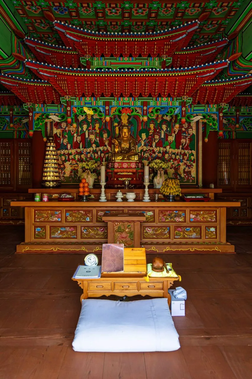 Photo: Korea Tourism Organization Tourism Photo Gallery (Dong-myeon, Hongcheon-gun, Gangwon State) · KOGL Type 1
Gongjaksan’s trail network is registered in four sections by administrative district, and the data lists every single one of them as “Easy.” Keep in mind, though, that these aren’t individual climbing routes — they’re the entire trail network within the mountain’s boundary, simply carved up by administrative-district boundaries.
| Section (by administrative district) | Distance | Difficulty | Terrain |
|---|---|---|---|
| (unnamed section) | 16km | Easy | - |
| Nocheon-ri section | 4.83km | Easy | - |
| Gurun-ri section | 4.74km | Easy | - |
| Geoneop-ri section | 4.24km | Easy | - |
The data caps out at “Easy” for every administrative-district section, but the summit route on the 100 Great Mountains GPX track covers a fair one-way distance with substantial elevation gain, so it can feel noticeably tougher on the ground than the official rating suggests. There’s no separate terrain data on file, so I can’t confirm the specifics of paved versus unpaved sections. Some of the trail markers do carry “fall caution” or “fall danger” warnings, so watch your footing closely right after rain or when ice forms in winter. There are also no officially registered POIs for viewpoints, water stations, shelters, or hazard zones — so don’t count on finding drinking water or shelter facilities along the way.
Distance and Time Required
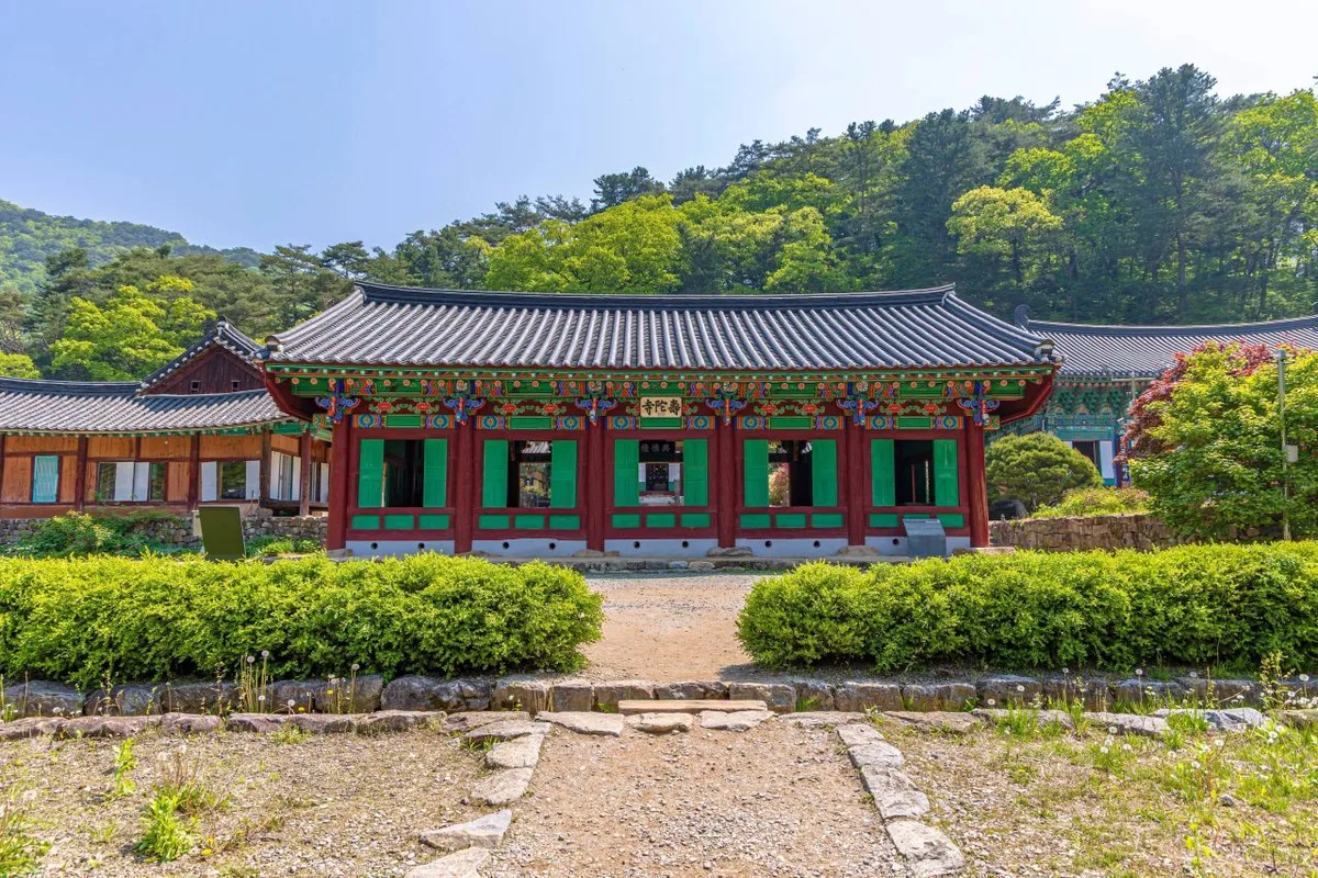 Photo: Korea Tourism Organization photo gallery (Dong-myeon, Hongcheon County, Gangwon State) · KOGL Type 1
Adding up every trail segment in the area comes to 622 minutes going up and 435 minutes coming down, which works out to roughly 21 minutes per kilometer uphill across the full 29.81km network. That figure is a cumulative total for the entire trail system strung together, though — don’t mistake it for how long any single route takes. For an actual course, the one-way times of roughly 3 hours to 4 hours 40 minutes in the table above are the numbers to go by. The shorter routes (starting from Gongjak Bridge or Nohyeondeul) can easily be done round-trip in a single day, but the longer ones — 12 to 14km one way — can run 8 to 9 hours or more round-trip, so an early start is a good idea. And if you’re planning a through-hike linking several of the summit peaks, keep in mind the network’s full 29.81km length and the complete lack of shelters along the way — it’s safer to plan for at least an overnight rather than trying to squeeze it into one day.
가는 길(대중교통·주차)
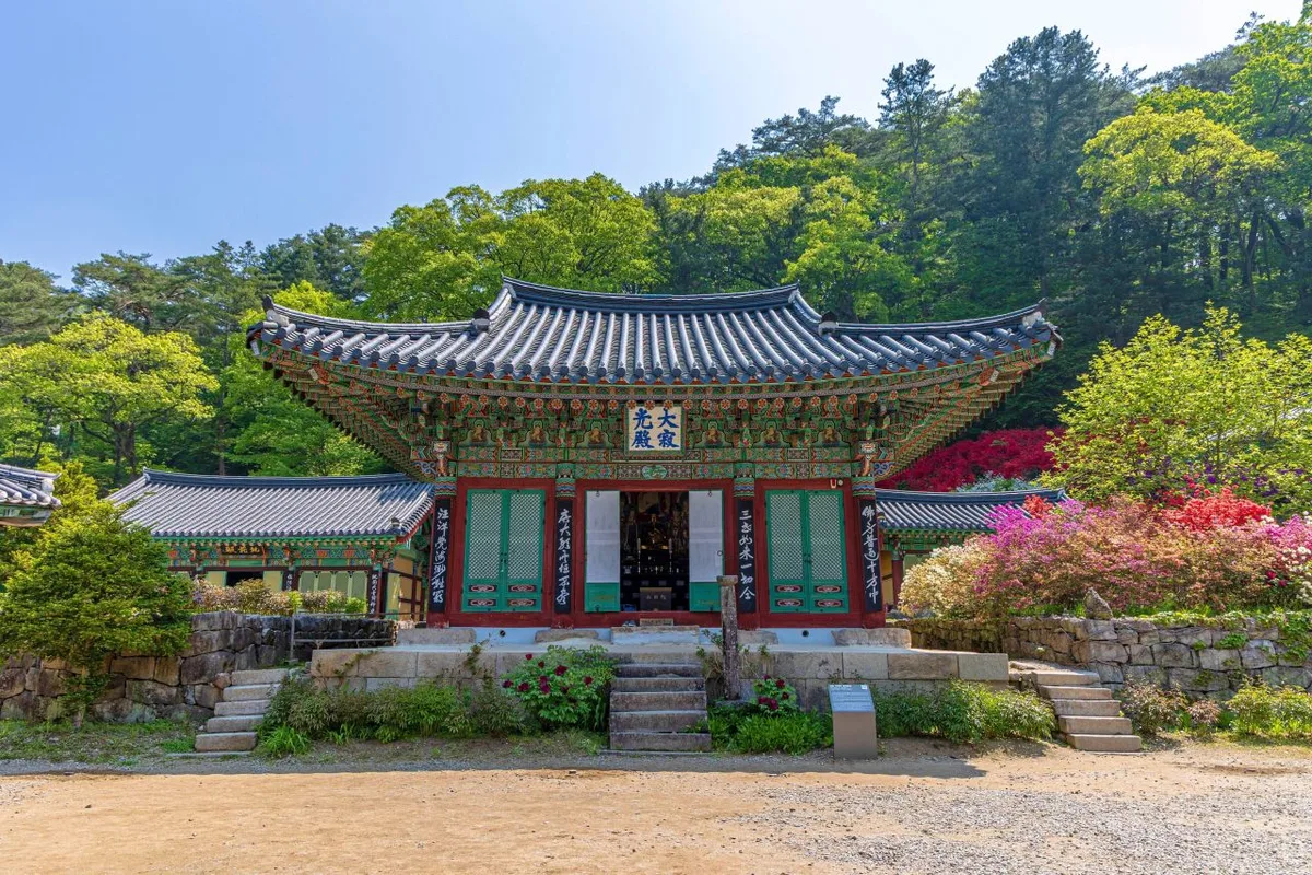 사진: 한국관광공사 관광사진 갤러리 (강원특별자치도 홍천군 동면) · 공공누리
Near Gongjaksan there are a few bus stops worth knowing — Gongjak-dong, Gurun Reservoir, and Wadong Sonigogae. Coming from Seoul or elsewhere in the capital area, the usual route is to catch an intercity bus bound for Hongcheon from Dong Seoul Bus Terminal or Sangbong Terminal, get off at Hongcheon Bus Terminal, then transfer to a local county bus heading toward Hwachon-myeon and hop off near whichever trailhead you’re aiming for — Gongjak-dong, Gurun Reservoir, or Wadong Sonigogae. That said, the county buses run pretty infrequently, so it’s worth checking the timetable ahead of time. If you’re driving, there’s no officially registered trailhead parking lot that I could confirm — most people end up using small, informally known spots instead, like the “Gongjaksan-ipgu parking lot” mentioned in Course 2, or open patches of ground near Gurun Reservoir. Since routes and transit schedules can change, it’s best to double-check on KakaoMap or Naver Map by searching “Gongjaksan” or the specific trailhead name (Gongjak Bridge, Gurun Reservoir, Nohyeondeul, etc.) before you head out.
Season, Weather & Gear
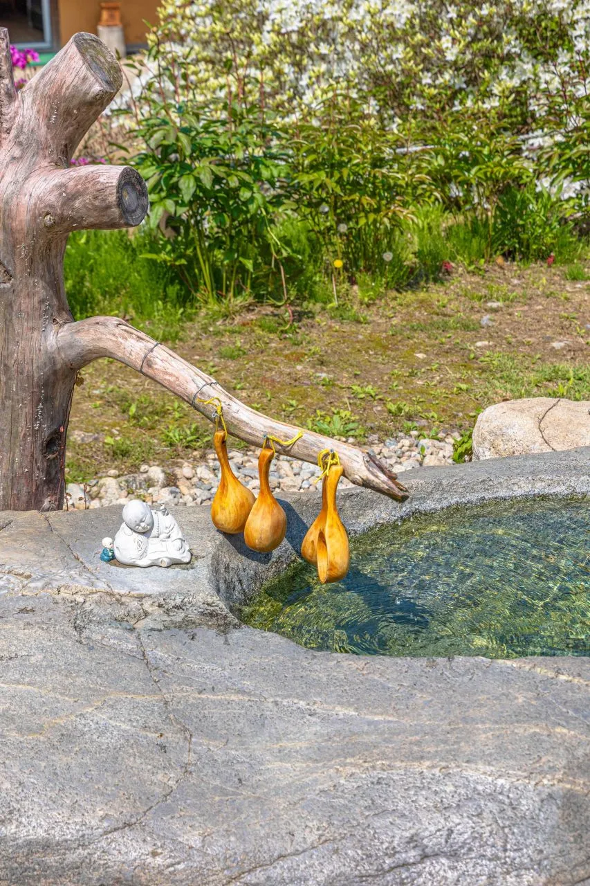 Photo: Korea Tourism Organization Tourism Photo Gallery (Dong-myeon, Hongcheon-gun, Gangwon State) · KOGL Type 1
Gongjaksan is at its most forgiving in spring and fall, when you get fresh green leaves and autumn colors depending on when you go. In summer, the dense canopy gives you plenty of shade, but there are no registered water stations on the mountain, so it’s easy to get caught out dehydrated in the heat — bring more water than you think you’ll need. Winter is trickier: shaded stretches like the old pine grove and the Korean pine plantation, along with the sections marked “caution: fall risk” and “danger: fall risk,” ice over easily, so crampons and gaiters (or similar cold-weather, anti-slip gear) are pretty much essential. For basic gear, I’d pack hiking boots, a change of clothes, trekking poles, a headlamp (in case the longer routes run late), and plenty of water and snacks. Since there are no shelters along the way, if the weather turns bad, don’t push through it — just head back down early. It’s not worth the risk.
Tips for Foreign Visitors
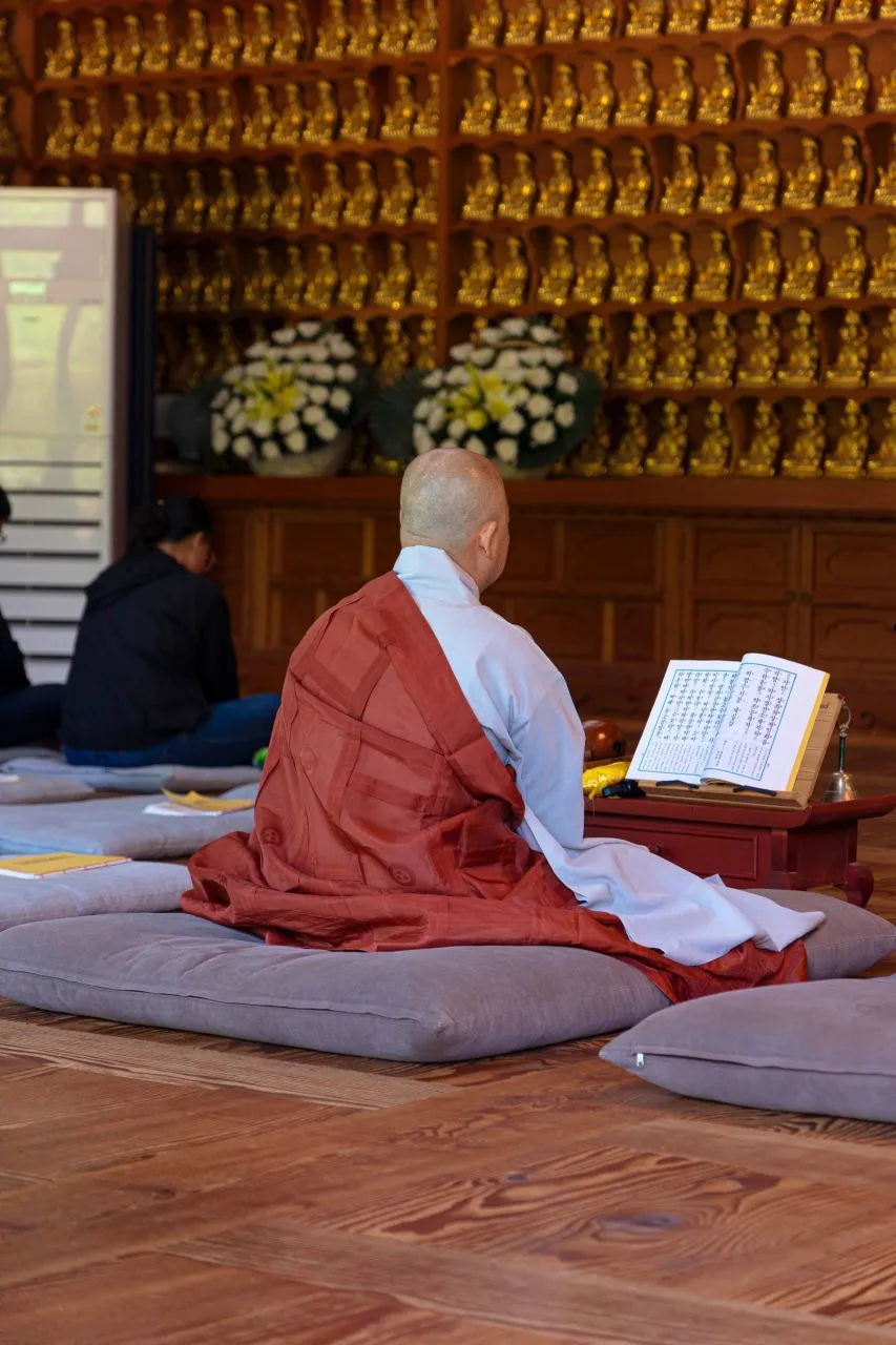 Photo: Korea Tourism Organization Photo Gallery (Dong-myeon, Hongcheon-gun, Gangwon State) · KOGL
The Romanized name for the mountain is Gongjaksan (Mt. Gongjak), and nearby landmarks are typically rendered as Gongjak-gyo (bridge), Guluun Reservoir, and Nohyeondeul. There’s no confirmed entry permit or admission fee, so unlike national or provincial parks, it seems to be a mountain you can just walk onto without passing a ticket booth — but it’s still worth double-checking the on-site signage for the latest info. Restrooms are only confirmed at the Course 2 trailhead (“Gongjaksan Trailhead Parking Lot — restroom”); no other restrooms or drinking water stations are listed along the rest of the route, so come prepared before you set out. Google Maps often gets Korean trail details wrong, so it’s worth installing KakaoMap or Naver Map ahead of time to check public transit options and the actual trail path. Cell signal can get spotty in parts of the hike, so download an offline map beforehand, and since there are no shelters along the way, it’s safest to plan your schedule so you’re back down before sunset.
Nearby Peaks
- Chunam Sea’s granite jagged ridgeline, Samaksan in Chuncheon — about 40 km away (straight-line)
📍 Old Pine Ridge Wrapping Around Gulun Reservoir, Hongcheon Gongjak MountainLocation
Contact: bumseok.view [at] gmail [dot] com

Comments