Cheontaesan in Chungbuk: Home to Turtle Rock Ridge and Yeongguksa Temple
Hiking · Published 7/31/2026 ·
등산로 트랙·시설 (공공데이터: 전국등산로 공간정보) · 🚩시종점 💧음수대 👁️조망점 🏠대피소 🅿️주차장 ⚠️위험 · 지도 © OpenStreetMap ⤓ GPX 다운로드
I’ll translate the body text while preserving all markdown structure, the table, and formatting.
At a Glance
| Metric | Rating |
|---|---|
| Accessibility (public transit/parking) | ★★☆☆☆ |
| Trail difficulty | ★★☆☆☆ |
| Water/springs on the mountain | ★☆☆☆☆ |
| Overnight stay needed | ★☆☆☆☆ (a day trip is plenty) |
| Seasonal difficulty — Spring | ★★☆☆☆ |
| Seasonal difficulty — Summer | ★★★☆☆ |
| Seasonal difficulty — Fall | ★★☆☆☆ |
| Seasonal difficulty — Winter | ★★★☆☆ |
※ Source: Korea Forest Service trail spatial data · accessibility and seasonal figures are for reference only
Overview
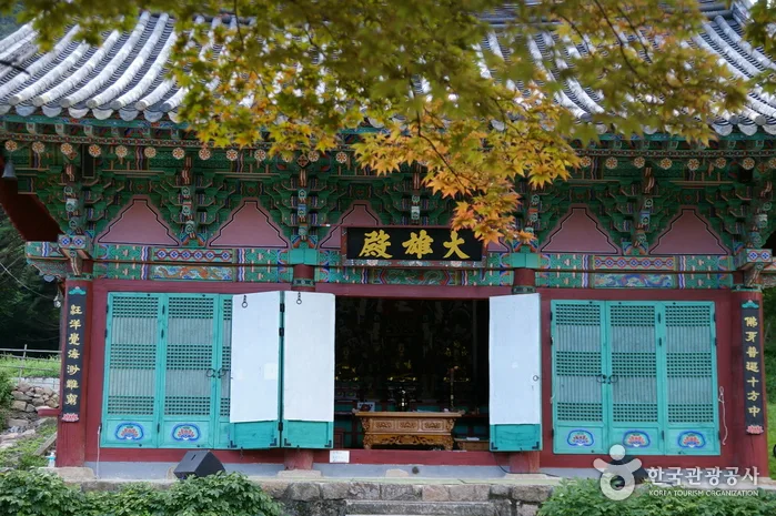 Photo: Korea Tourism Organization photo gallery · KOGL (Korea Open Government License)
Cheontaesan sits in Yeongdong County, North Chungcheong Province. Depending on the source, its summit elevation is listed as 734m, 720m, or 743m, though GPX tracking puts the actual high point at 746m. The mountain itself isn’t large, but the summit area is ringed with striking rock formations and ridgelines, giving it that classic mix of a soil-covered “yuksan” lower half and craggy rock terrain up top. The trail data rates the overall difficulty as “easy,” but that’s really an average across every trail in the county — the route that actually climbs to the summit area has a fair bit of elevation gain, so it can feel tougher than the label suggests. It’s an easy one to knock out in a single day, and the summit hosts Yeongguksa, a temple with a long history, which makes this a nice combo of hiking and a bit of cultural sightseeing.
Terrain and Landscape
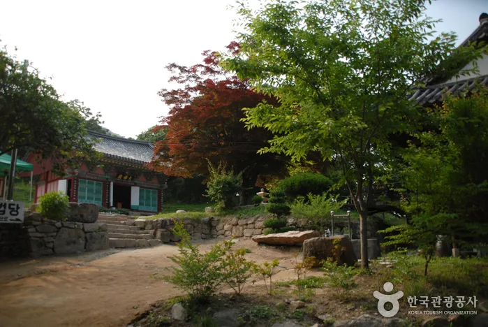 Photo: Korea Tourism Organization photo gallery · KOGL
Cheontaesan is built mostly on the soft, rounded ridgelines typical of a “dirt mountain,” but what sets it apart are the oddly-shaped rock formations near the summit — Turtle Rock and Samsin Halmeom Rock (the “Grandmother Rock”) among them, each bearing its own name. A separate peak branches off from the summit ridge called Mangtapbong, and that area includes a rocky ridge section known for its open views. As mentioned earlier, the summit itself gets reported at several different elevations — 734m, 720m, 743m, and 746m from my own GPX reading — which likely comes down to where exactly the summit marker sits, or differences in when and how the measurements were taken. Whichever number you go with, though, it’s still a modest, charming mountain in the mid-to-high 700m range. Yeongguksa Temple sits partway up the mountain, so the terrain itself ends up blending naturally with a space that’s both spiritual and historical.
What the Hike Feels Like
The stretch from the trailhead to the summit starts out as pure forest path, then gradually turns rockier as you pass rock features like the prayer site and Turtle Rock past the midpoint, building toward more of a ridge-scramble feel. In summer, the thick canopy keeps most of the route pleasantly shaded and cool, and in fall, the foliage is said to spread across the ridgeline and rock sections in a way that makes the views even more spectacular. On the route that passes through Yeongguksa Temple, you get to soak in the temple grounds too — the one-pillar gate, the old ginkgo tree, the spring water — which softens the hike into something closer to a temple pilgrimage than a straight climb. Near the summit and along the rocky ridge, the trees open up and you can take in the surrounding mountain ranges, so the whole course plays on a nice contrast: the enclosed, wooded feel of the climb versus the wide-open views up top.
Main Routes by Trailhead
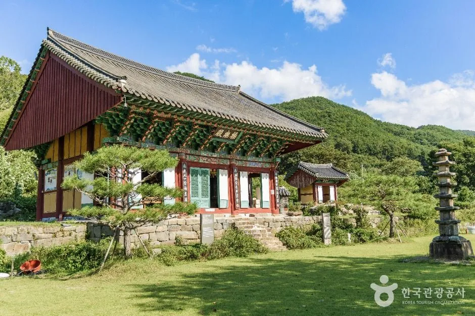 Photo: Korea Tourism Organization Photo Gallery (970 Sinansa-ro, Sinan-myeon, Geumsan-gun, Chungcheongnam-do) · KOGL Type 1
Summit’s highest measured elevation: 746m
| Route (trailhead → summit) | Distance | Elevation gain | Est. time (one way) | Difficulty | Popularity |
|---|---|---|---|---|---|
| Trail entrance → Cheontaesan summit | 3.1km | ↕486m | About 1h 35m | ★★★☆☆ | ★★★★☆ |
| Cheontaesan trailhead → Mangtapbong | 5.89km | ↕528m | About 2h 21m | ★★★★☆ | ★★★☆☆ |
※ Source: Korea Forest Service Trail Info Center’s Top 100 Mountains GPX data (distance, elevation, time, difficulty) · Popularity is for reference only
코스 1 — 등산로 입구 → 천태산 정상
경유지: 신안리 마을회관 → 갈림길 → 등산로 입구 → 정자 → 이정표 → 기도터 → 거북바위 → 천태산 정상 → 화원동 하산 알림판 → 신음폭포
Getting to the trailhead: This route starts from the trailhead near Sinan-ri (Hwawon-dong), and there’s apparently a Sinan-ri (Hwawon-dong) bus stop nearby, so public transit is an option. If you’re driving, parking tends to be limited to a handful of spots along the road into the village, so it’s worth checking KakaoMap or Naver Map beforehand for the latest access route and parking availability.
What it’s like, and who it’s for: The route starts at the village community center, passes a pavilion and a prayer site, works its way through the turtle rock area, and finishes at the summit. The early stretch is a comfortable forest path, but things get noticeably harder once you hit the rocky terrain around the turtle rocks. On the way down toward Hwawon-dong, you’ll pass Sineum Falls, so you get to end the hike with the sound of the stream running alongside you. Since the distance is relatively short, it’s a good pick if you’re after a half-day hike rather than a full-day one, or if you just want to reach the summit without too much of a slog.
Trail 2 — Cheontaesan Trailhead → Mangtapbong Peak
Route: Cheontaesan trailhead → Yeongguksa parking lot → Cheontaesan rest house → info signboard → restaurant → Samsinhalmeom Rock → Yeongguksa one-pillar gate → ticket booth → Yeongguksa spring → Yeongguksa ginkgo tree → Yeongguksa temple → outdoor restroom → hiking trailhead → fork in the trail → view of Yeongguksa from the ridge rocks
Getting to the trailhead: This trail starts near Yeongguksa Temple, and since there’s a Yeongguksa bus stop close by, you can get here by public transit too. The route includes the Yeongguksa parking lot as one of its waypoints, so if you’re driving, that lot makes a handy reference point — just double-check the exact location and access road on KakaoMap or Naver Map beforehand.
What makes it worth doing: This trail runs right through the Yeongguksa temple grounds, taking you past the one-pillar gate, the spring, the old ginkgo tree, and the ticket booth in sequence — which makes it a great pick if you want to combine hiking with a bit of cultural sightseeing. After passing striking rock formations like Samsinhalmeom Rock, the second half of the trail moves onto a rocky ridge, and true to the waypoint name “view of Yeongguksa from the ridge rocks,” you’ll come across a spot near the top of the climb where you can look down over the whole temple. Both the distance and elevation gain are greater than on Trail 1, bumping the difficulty up a notch — so this one’s best suited to hikers with a bit more stamina and time to spare, especially if you’re after a mix of temple visiting and ridge-top views.
Difficulty, Terrain & Cautions
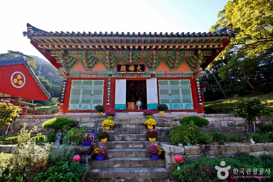 Photo: Korea Tourism Organization Photo Gallery (225-35 Yeongguk-dong-gil, Yangsan-myeon, Yeongdong-gun, Chungcheongbuk-do) · Public Nuri
The official trail data lists the highest difficulty rating as “Easy,” but that’s based specifically on the Hyogyo-ri section (3.38km). Measured GPX data from the 100 Great Mountains project tells a different story near the summit, where the rating climbs to ★★★☆☆ for Course 1 and all the way to ★★★★☆ for Course 2 — so the actual difficulty you’ll feel on the ground varies quite a bit. Surface conditions aren’t separately documented, but the route passes several rock-related landmarks — Turtle Rock, Samshin Halmeom Rock, and viewpoints along the rocky ridge — which suggests there are indeed rocky stretches to cross. On sections like these, watch your footing after rain or on dewy mornings, since the rock can get slippery. In winter, ice can make things noticeably harder, so bring crampons or similar traction gear. According to the public data, hazard zones, viewpoints, and separate trailhead/exit markers are all recorded as zero — meaning that for a mountain of this size, the safety facilities and viewpoint signage are still fairly sparse.
Distance & Time Needed
The trails in this district add up to 3.38 km when you combine all the courses — that’s not the length of any single route, but the total of every registered section in the area, including the Hyogyo-ri stretch. Taken together, the recorded time is 59 minutes going up and 41 minutes coming down, which works out to an average uphill pace of about 17 minutes per km. Keep in mind that’s a district-wide average, not the time for one specific course, so if you want a realistic sense of how long an actual hike will take, it’s better to go by the GPX-based estimates from the 100 Great Mountains list: about 1 hour 35 minutes for Course 1 and about 2 hours 21 minutes for Course 2, both one-way. Neither course runs past 2 hours 30 minutes one-way, so even doing the round trip, you can easily wrap things up in a single day — no need to book a mountain hut or plan an overnight stay.
Getting There (Public Transit & Parking)
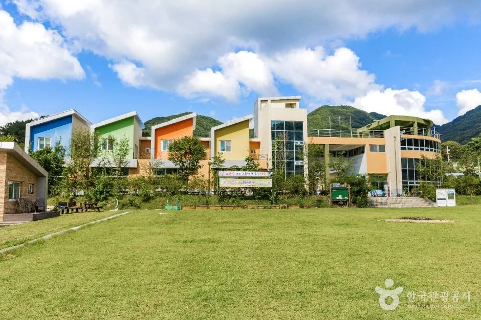 Photo: Korea Tourism Organization photo gallery (8 Gilgok-gil, Jewon-myeon, Geumsan-gun, Chungcheongnam-do) · KOGL (Korea Open Government License)
If you’re coming by public transit, there are bus stops at Sinan-ri (Hwawon-dong) and Yeongguksa, both near the trailheads for Course 1 and Course 2 respectively — you can get off at whichever one lines up with your route. That said, both stops are served by intercity/county bus lines, which in this area tend to run on pretty sparse schedules, so it’s worth double-checking the latest timetable with Yeongdong County or the local bus company before you head out. For transit routes and exact stop locations, Korean map apps like KakaoMap or Naver Map are more reliable than Google Maps — they match the actual roads and stops much better. If you’re driving, Yeongguksa’s parking area is included as a stop along Course 2, so you can use that as a reference point. That said, public data shows zero registered parking lots in the area, so there doesn’t seem to be a dedicated public parking lot — you’ll likely end up parking in the temple grounds or on open ground near the village access road. It’s a good idea to check KakaoMap or Naver Map again right before you arrive, just to confirm real-time road conditions and where you can actually park.
Season, Weather, and Gear
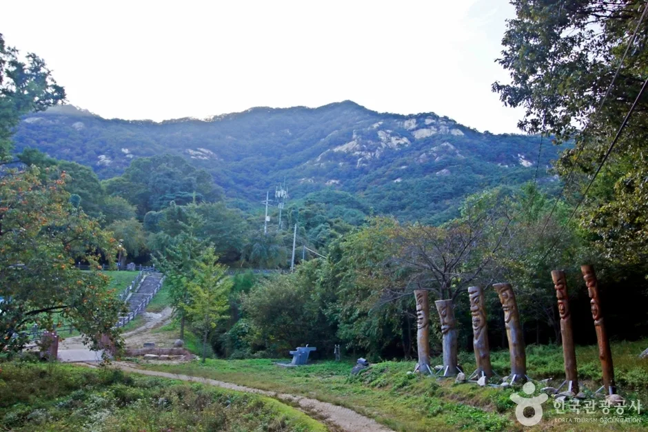 Photo: Korea Tourism Organization Photo Gallery (Nugyo-ri, Yangsan-myeon, Yeongdong-gun, Chungcheongbuk-do) · KOGL Type 1
Spring and fall are the best seasons for this hike — in spring you get fresh green foliage along the forest trails, and in fall you can take in the autumn colors from the rocky ridges. Summer humidity and overgrown vegetation make things feel noticeably harder, and you’ll want to be prepared for bugs and snakes. In winter, ice on the summit and rocky ridge sections raises the risk of slipping, so crampons and cold-weather gear are a must. As for essential gear: sturdy hiking boots that protect your ankles, plenty of water (there seem to be almost no water sources along the course, so it’s safer to bring your own), trekking poles, a rain jacket, and in winter, crampons and a warm hat. On Course 2, which passes through temple grounds, it’s also a good idea to dress modestly.
Tips for Foreign Travelers
Cheontaesan is romanized as “Cheontaesan,” the summit as “Cheontaesan Summit,” and the main temple as “Yeongguksa Temple.” It’s a county-managed mountain rather than a national park, so there’s no confirmed entry permit or admission fee — but if you visit the Yeongguksa Temple grounds, there may be some guidance or procedure related to viewing the temple’s cultural assets, so it’s worth checking the local signage. There’s a portable toilet at the Course 2 waypoint, but the rest of the trail likely has no facilities, so it’s best to use a restroom at the trailhead beforehand. Public data shows zero drinking fountains (spring water stations) on the mountain, meaning water is hard to come by along the way — the “Yeongguksa spring water” at the Course 2 waypoint is the only known water source, but whether it’s actually available depends on how the temple is managing it at the time, so it’s safer to bring plenty of water with you. Google Maps is often inaccurate within Korea, so it’s a good idea to install KakaoMap or Naver Map to check the actual trail and bus routes. Both courses include rocky, ridge-line sections in their latter half, so in rain or icy conditions, it’s safer to postpone the hike or proceed with extra caution.
Nearby Peaks
- Rugged ridge of Yongbawi and Seonnyeobawi rocks, Seodaesan, Geumsan, Chungnam — about 9 km direct
- Baekdudaegan ridge trail cradling Jikjisa Temple, Hwangaksan, Gimcheon — about 33 km direct
📍 Cheontaesan in Chungbuk: Home to Turtle Rock Ridge and Yeongguksa TempleLocation
Contact: bumseok.view [at] gmail [dot] com
Related posts
-

Ridge After Ridge in the Yeongnam Alps: Unmunsan in Cheongdo and Miryang
-
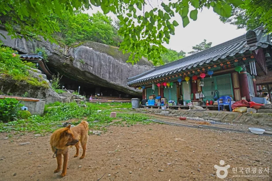
Mungyeong's Daeyasan, Home to the Elephant Rock Ridge and Yongchu Valley
-
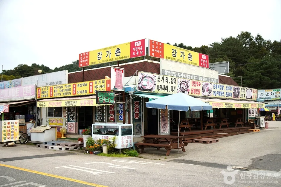
Palbongsan in Hongcheon, Gangwon — Eight Rock Peaks and the Haesangul Ridge
-
Rock Spires and Pines Along the Natural Ridge: Gyeryongsan in Daejeon and Gongju
Comments