Palbongsan in Hongcheon, Gangwon — Eight Rock Peaks and the Haesangul Ridge
Hiking · Published 7/29/2026 ·
등산로 트랙·시설 (공공데이터: 전국등산로 공간정보) · 🚩시종점 💧음수대 👁️조망점 🏠대피소 🅿️주차장 ⚠️위험 · 지도 © OpenStreetMap ⤓ GPX 다운로드
At a Glance
| Metric | Rating |
|---|---|
| Accessibility (public transit/parking) | ★★★☆☆ |
| Trail difficulty | ★★☆☆☆ |
| Water/springs on the mountain | ★☆☆☆☆ |
| Overnight stay needed | ★☆☆☆☆ (a day trip is plenty) |
| Seasonal difficulty – Spring | ★★☆☆☆ |
| Seasonal difficulty – Summer | ★★☆☆☆ |
| Seasonal difficulty – Fall | ★★☆☆☆ |
| Seasonal difficulty – Winter | ★★★☆☆ |
※ Source: Korea Forest Service trail spatial data · accessibility and seasonal ratings are for reference only
Overview
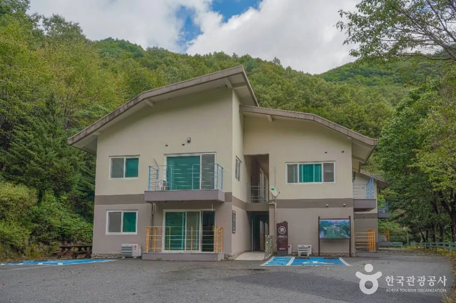
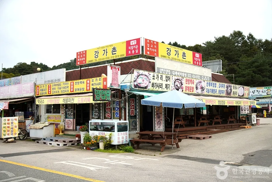 Photo: Korea Tourism Organization Photo Gallery (강원특별자치도 홍천군 서면 한치골길 1122-54) · KOGL
Palbongsan sits along the Hongcheon River in Seomyeon, Hongcheon County, Gangwon Province — a compact, rocky peak whose name literally means “Eight Peaks,” a nod to the eight summits strung one after another along its ridgeline. Depending on the source, the summit elevation is listed anywhere from 310m (based on the named peak) to 361m (based on the highest GPX-measured point). The mountain itself isn’t large, but because each peak brings its own rocky section and short ups-and-downs, it can feel noticeably tougher on the ground than the numbers suggest. According to trail GIS data, every section of trail in the area is rated “easy,” so it’s not a particularly hazardous mountain overall, and the whole course is easily done in a single day. If you’re after scenery along the Hongcheon River paired with a short but dense rocky-ridge hike, this is a good one to have on your list.
Terrain and Peaks
Palbongsan is a classic rock mountain — instead of the gentle, rolling ridgelines you’d get on a dirt-soil peak, it’s made up of eight rocky summits packed close together, which makes for a hike with a lot of ups and downs. The public-data peak POI lists “Palbongsan (310m)” as the mountain’s representative summit, with the ridge running down from there toward the Hongcheon River. As the name suggests — “eight peaks” — this is best known as a ridge hike where you climb Peak 1 through Peak 8 in order, and along the way there are steep rocky stretches where you haul yourself up using ropes and iron railings, plus a well-known narrow rock-crevice passage called “Haesan-gul” that hikers squeeze through. Because the whole mountain juts out toward the Hongcheon River, once you reach the summit area or one of the lookout points, you get a sweeping view down over the river and the riverside village below.
The Feel of the Hike
Starting from the Palbongsan tourist area trailhead, the hike begins gently enough, following a wooded path along the riverside — but once you hit the main ridgeline, it turns into a real scramble over rock. You’ll find yourself climbing up and down between peaks, gripping ropes and working your way across bare stone again and again, which makes the whole thing feel far more thrilling and intricate than the distance would suggest. Once you’re up on the ridge, you catch glimpses of the Hongcheon River winding below — through gaps in the trees, or wide open at the lookout points — giving you a scene that’s less about valleys and forests and more about this striking combo of river and rock. In spring, the fresh greenery along the river and the azaleas make for a nice contrast against the stone; in fall, it’s the foliage that plays off the rock, which is why this trail turns up so often on photo-spot lists. Summer brings a cooling breeze off the river to take the edge off the heat, though on humid days the rock gets slippery, so you’ll want to watch your footing. Come winter, the bare ridgeline opens up the views nicely, but ice on the rocky sections can make the difficulty jump quite a bit — worth keeping in mind before you go.
Main Course (by Trailhead)
| Course (trailhead → summit) | Distance | Net elevation gain | Estimated time (one-way) | Difficulty | Popularity |
|---|---|---|---|---|---|
| Palbongsan Tourist Site → Observatory | 4.13km | ↕249m | About 1 hr 27 min | ★★☆☆☆ | ★★★★☆ |
※ Source: Korea Forest Service Trekking Support Center’s Top 100 Mountains GPX data (distance, elevation, time, difficulty) · Popularity rating is for reference only
Course 1 — Palbongsan Tourist Area → Observation Deck
-
Route: Palbongsan Tourist Area → Parking Lot Restroom → Restaurant → Palbongsan Trail Info Board → Palbongsan Perimeter → Hongcheon River → Palbongsan Trail Info Center → Small Rest Area → Fork in the Trail → Palbongsan Peak → Sambuindang → Observation Deck → Rest Area → Haesangul (Cave) → Trail up to Peak 8
-
Getting to the trailhead: Palbongsan Tourist Area sits in Seo-myeon, Hongcheon County, so it’s not something you can reach directly by subway — the usual way in is by bus from Seoul or from downtown Chuncheon or Hongcheon. There are a few bus stops nearby — Palbongsan Campground, Palbongsan Tourist Area, and Palbongsan Tourist Area Entrance — so you can hop off and walk the rest of the way to the trailhead. If you’re driving, most people just use the open lots or roadside space around the tourist area, since the trail’s location data doesn’t show a dedicated parking lot. Worth building in some extra time to scout for a spot if you’re going on a weekend or during peak season.
-
What it’s like / who it’s for: You start right at the entrance to the tourist area, and after a short stretch along the riverside, you’re already into a rocky ridge section where you’re alternating between ropes and bare rock. It’s a short course, but you’ll be using both hands and feet often enough that it feels more substantial than the distance suggests. From the summit and the observation deck, the views open up nicely over the Hongcheon River, making it a satisfying half-day outing if you want to bring a camera along. If you’re up for pushing further along the ridge to Haesangul and Peak 8, it also works well for hikers chasing something closer to a proper rock-ridge traverse. That said, with so much rock scrambling involved, groups made up only of kids or first-timers should probably skip it in the rain or during winter.
Difficulty, Terrain & Cautions
| Section (by administrative dong, total trail length within the area) | Distance | Difficulty | Terrain |
|---|---|---|---|
| (no section name) | 2.97km | Easy | - |
| Jeunggok-ri section | 1.36km | Easy | - |
| Ungok-ri section | 0.8km | Easy | - |
| Pyeongchon-ri section | 0.63km | Easy | - |
| Husa-ri section | 0.47km | Easy | - |
| Sinjang-ri section | 0.26km | Easy | - |
According to the trail spatial data, the total trail length registered around Palbongsan comes to 6.49km across these six sections, and every one of them is classified as “Easy” — the highest difficulty level in the dataset. That said, these are administrative-dong divisions rather than actual named hiking course segments, so I’d treat this table less as a guide for picking a route and more as a reference showing that the trails here are short and scattered across several different dongs. On the facilities side, there are zero registered POIs for scenic viewpoints, drinking water spots (spring water), shelters, or hazard zones — meaning that even if there are well-known spots like a lookout point or the “Haesan-gul” rock crevice, none of them show up as officially marked viewpoint or shelter facilities. In practice, hikers should watch out for congestion and slipping on the roped sections and in the narrow rock gap at Haesan-gul, and take extra care right after rain or during winter icing, when the rock surfaces get especially slippery.
Distance and Time Needed
Based on cumulative data across the entire district’s trail network, the ascent takes 115 minutes and the descent 79 minutes; applied to the total distance of 6.49km, that works out to an average ascending pace of roughly 18 minutes/km. Keep in mind, though, that these ascent/descent times are combined totals across multiple trail sections in the district, not the actual time for any single specific course. Going by actual GPX-measured data, the Palbongsan Tourist Site → Observatory course covers 4.13km with a net elevation gain of 249m and takes about 1 hour 27 minutes one way — so plan on roughly 3 hours for the round trip. Overall, this is a mountain that’s easily doable as a day hike thanks to its short distance and gentle approach; there’s no need for an overnight stay or shelter, and you can head out in the morning and still be done well before evening.
Getting There (Public Transit & Parking)
Palbongsan sits in Hongcheon County, Gangwon-do, and there’s no direct subway line out here, so if you’re coming from Seoul or the greater capital area, the usual route is an intercity bus bound for Hongcheon from a terminal like Dong Seoul Bus Terminal, then a transfer in downtown Hongcheon to a local bus headed toward Palbongsan in Seomyeon. There are several stops right near the trailhead — Palbongsan Campground, Palbongsan Tourist Site, and Palbongsan Tourist Site Entrance among them — so public transit can actually get you right up to the start of the trail. That said, buses can run infrequently at certain times of day, so it’s worth double-checking real-time schedules and stop locations on KakaoMap or Naver Map before you head out. If you’re driving, most people just park in the open lots near the tourist area — the trail database doesn’t list any officially designated parking lot for this spot, so on weekends or during peak season, I’d give yourself extra time to arrive early, or plan on parking near one of the nearby businesses as a backup.
Season, Weather & Gear
 Photo: Korea Tourism Organization Photo Gallery (강원특별자치도 홍천군 서면 팔봉산로 1198-2) · KOGL
Because Palbongsan involves climbing over exposed rock peaks, it’s a mountain that’s fairly sensitive to weather and season. Spring and fall are generally the most comfortable times to hike — the temperatures are mild and the rock surfaces tend to stay dry — and fall in particular is worth it for how the foliage plays off the Hongcheon River below. In summer, humidity near the river can leave the rocks slippery, and a localized downpour can quickly bring flash floods or falling rocks, so it’s best to skip the hike altogether if rain is in the forecast. Winter is where things get trickier: shaded rock sections and the roped stretches ice over easily, which bumps up the difficulty more than you’d expect, so crampons and warm gloves are non-negotiable if you’re going in that season. Whatever time of year you go, it’s worth bringing hiking boots with solid grip, gloves to protect your hands on the roped sections, plenty of water (there are no drinking fountains on the mountain, so bring it from home), and a light snack.
Tips for Foreign Travelers
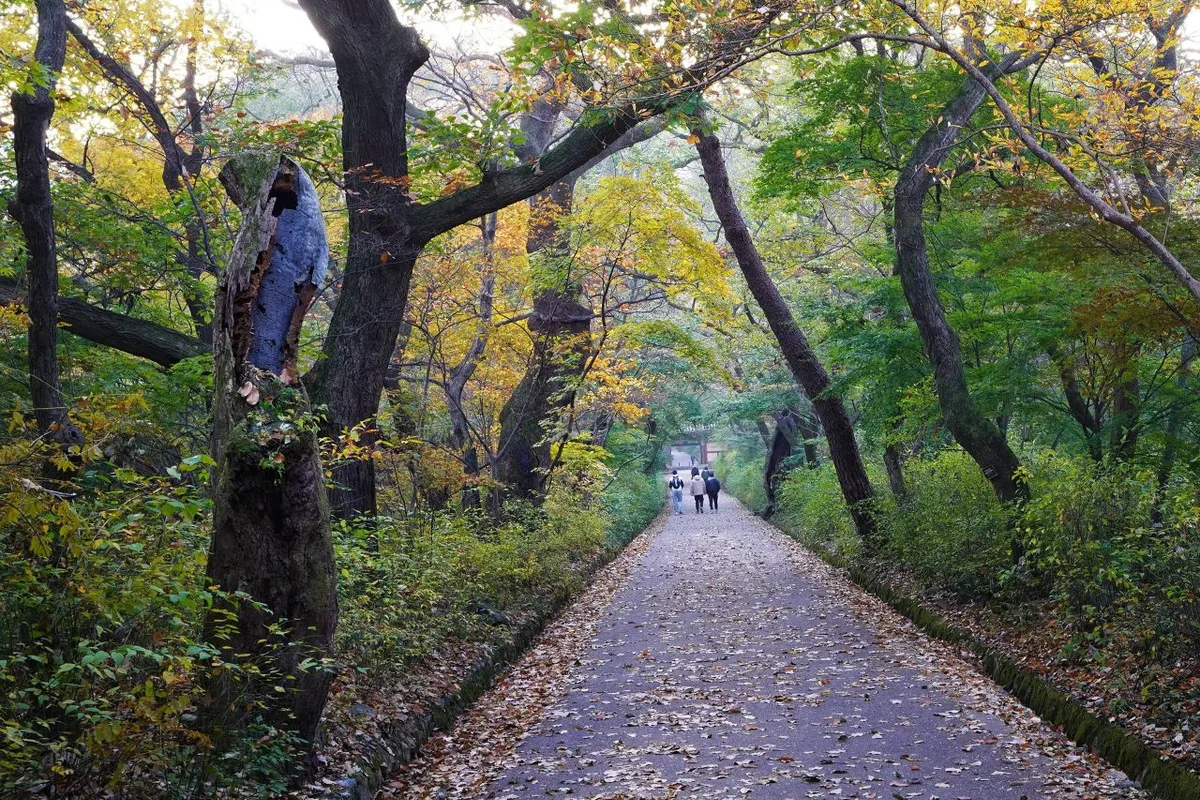
 Photo: Korea Tourism Organization Photo Gallery (강원특별자치도 홍천군 서면 한치골길 785) · KOGL
Palbongsan (its peaks sit around 310–361m) doesn’t require a hiking permit or entrance fee, so you’re free to visit anytime. Near the trailhead at Palbongsan Tourist Site you’ll find restrooms and a small strip of restaurants, handy before or after your hike, but there are no official water stations once you head up the mountain, so bring plenty of water with you. Google Maps info for this area is often unreliable, so for public transit schedules and the actual trail route, it’s best to use KakaoMap or Naver Map instead. The course includes a steep rock section where you’ll need to pull yourself up with a rope, plus a narrow passage called Haesangul (known for its crab-shell-shaped rock formation) — a big backpack or slippery shoes will make these spots awkward, so pack light and wear shoes with good grip. For safety, it’s better to hike with someone rather than solo; cell reception is solid throughout the area, so you can call the local emergency lines (112/119) if needed.
Other mountains nearby
- Gyeonggi’s Yongmunsan, with its thousand-year-old ginkgo tree and rocky ridgeline — about 22 km as the crow flies
- Chuncheon’s Samaksan, with its granite sawtooth ridge overlooking Lake Uiam — about 25 km as the crow flies
📍 Palbongsan in Hongcheon, Gangwon — Eight Rock Peaks and the Haesangul RidgeLocation
Contact: bumseok.view [at] gmail [dot] com

Comments