White Granite Peaks Rising Over Huiyangsan, Between Mungyeong and Goesan
Hiking · Published 7/29/2026 ·
등산로 트랙·시설 (공공데이터: 전국등산로 공간정보) · 🚩시종점 💧음수대 👁️조망점 🏠대피소 🅿️주차장 ⚠️위험 · 지도 © OpenStreetMap ⤓ GPX 다운로드
At a Glance
| Metric | Rating |
|---|---|
| Accessibility (public transit/parking) | ★★☆☆☆ |
| Trail difficulty | ★★☆☆☆ |
| Water sources on the mountain (springs) | ★☆☆☆☆ |
| Overnight stay needed | ★☆☆☆☆ (day trip is plenty) |
| Seasonal difficulty – Spring | ★★★☆☆ |
| Seasonal difficulty – Summer | ★★★☆☆ |
| Seasonal difficulty – Fall | ★★★☆☆ |
| Seasonal difficulty – Winter | ★★★★☆ |
※ Source: Korea Forest Service trail spatial data · accessibility and seasonal ratings are for reference only
Overview
Huiyangsan straddles the border between Gaeun-eup in Mungyeong, North Gyeongsang Province, and Yeonpung-myeon in Goesan County, North Chungcheong Province. Its summit sits at roughly 996 meters above sea level. The peak lies along a ridge on the Baekdudaegan, the mountain range that forms the spine of the Korean peninsula, and its defining feature is the massive white granite rock face that juts up near the top — a single slab of stone you can spot from a good distance away. At the foot of the mountain stands Bongamsa, a temple with deep historical roots in the Jogye Order, so the place carries a certain reputation as somewhere the rugged terrain and religious significance come together. Difficulty varies a lot depending on which route you take: the shorter, gentler sections are approachable even for beginners, while the routes that cross the rocky ridges near the summit are considered advanced, demanding both stamina and experience. Most routes can comfortably be done as a day hike.
Mountain Shape and Terrain
Huiyangsan is a classic rock mountain — its whole summit looks like one massive slab of granite, which makes it easy to pick out from neighboring peaks even from a distance. Seen from afar, the top is capped in pale, rounded rock that sets it apart from the greener mountains around it. Up top there are two marker points, listed at 995m and 997m, so the actual elevation works out to somewhere around 996–997m. GPS readings put the highest point at 992m — the small gap between that and the marker figures is just the usual variance you get depending on when and with what device you measure.
The surrounding ridgeline strings together several other peaks. Along the Baekdudaegan ridge that connects to Guwangbong is Sirubong, which similarly has two marker readings, 911m and 919m, putting its actual height somewhere around 915m. Rounding out the hiking area are Juchibong (marked anywhere from about 703 to 722m), Tuguebong (663m), and, further along the connecting ridge, Akhwibong and Makjangbong (888m). Down in the valley you’ll also find a stream running over exposed rock and a small waterfall (Huiyang Falls) — a nice contrast between the rugged ridge above and the flowing water below.
The Feel of the Climb
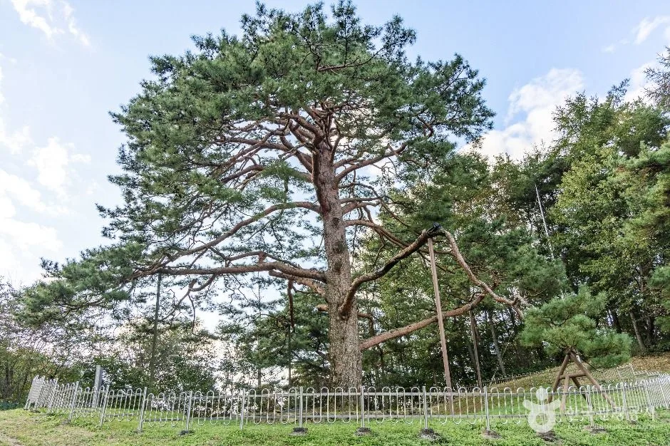 Photo: Korea Tourism Organization photo gallery (42 Jeokseok 2-gil, Yeonpung-myeon, Goesan-gun, Chungcheongbuk-do) · KOGL
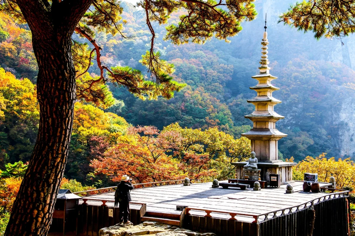
The hike up Huiyangsan changes character noticeably from one stretch to the next. The lower trail winds mostly through broadleaf forest, deep-shaded and cozy, but as you climb toward the ridge the rock starts showing through, and by the time you’re near the summit you’re in full-on rocky-ridge territory. The moment you come face to face with the massive white rock peak near the top is the thing most people talk about afterward — that sudden sense of open space really stays with you. From spots like the ridge viewpoint or the Huiyangsan lookout, you get a view of the Baekdudaegan ridgeline rolling away in layer after layer, which is why this mountain has such a reputation for its views. That said, with so much rock scrambling involved, there are a few spots where you’ll need to use your hands, and along the sections through the dwarf bamboo thickets and red pine groves there have been signs of wildlife (wild boar, for instance), so it pays to be a bit more careful depending on the season and time of day. Spring brings fresh green leaves and the sound of the valley stream, and people often mention how striking the contrast is between the bare rock and the autumn foliage in fall. In winter the rocky sections ice over, which makes for a dramatic scene but bumps the difficulty up considerably.
Main Routes (By Trailhead)
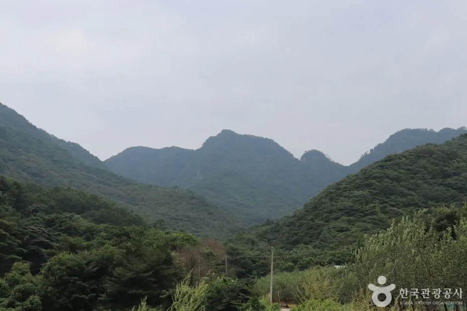 Photo: Korea Tourism Organization Tourist Photo Gallery (35 Ipseok 1-gil, Yeonpung-myeon, Goesan-gun, Chungcheongbuk-do) · Public Nuri
There are six GPS-measured routes confirmed leading up to the summit area. Distance, net elevation gain, estimated time, and difficulty are all based on actual GPX measurements and calculations, while popularity is a separate reference metric based on public transit accessibility and how often each route gets used.
| Route (Trailhead → Summit) | Distance | Net Elevation | Est. Time (One-way) | Difficulty | Popularity |
|---|---|---|---|---|---|
| Rest Area → Guwangbong (Baekdudaegan) | 8.54km | ↕681m | ~3h 16m | ★★★★★ | ★★★★☆ |
| Fork → Sirubong Summit | 8.39km | ↕663m | ~3h 12m | ★★★★★ | ★★☆☆☆ |
| Trailhead → Summit | 14.24km | ↕580m | ~4h 32m | ★★★★★ | ★★☆☆☆ |
| Trailhead → Summit | 5.89km | ↕650m | ~2h 33m | ★★★★☆ | ★★★★☆ |
| Trailhead → Akhwibong Summit | 8.74km | ↕632m | ~3h 14m | ★★★★★ | ★★★★☆ |
| Trailhead → Juchibong | 6.88km | ↕508m | ~2h 34m | ★★★☆☆ | ★★★☆☆ |
※ Source: Korea Forest Service Mountain Trekking Support Center — GPX data for the “100 Great Mountains” (distance, elevation, time, difficulty) · Popularity is a reference figure only
Course 1 — Simple Shelter → Baekdudaegan Guwangbong
Route: Simple Shelter → Fork → Waypoint 16 → Baekdudaegan Guwangbong → Huiyangsan Viewpoint → Waypoint 19 → Jireumtijae Fork → Waypoint 21 → Old Pine Ridge → Waypoint 24 → Ridge Viewpoint → Huiyangsan Summit → Rock Summit Overlook → Old Fortress Site → Huiyang Falls
Getting to the trailhead: This course runs straight along the Baekdudaegan ridgeline, and hikers most commonly enter from the Eunti Village area near Gaeun-eup in Mungyeong. There’s no subway that reaches the area directly — the usual approach is to take a city or intercity bus toward Mungyeong or Goesan, then continue to the trailhead by village bus or taxi. Official data doesn’t show a designated parking lot nearby, so it’s worth checking ahead of time whether you can park on a village lot or roadside shoulder.
Highlights & who it’s for: This is a classic ridgeline course that’s popular with Baekdudaegan through-hikers. As you cross Guwangbong and continue on to the Huiyangsan summit, you’ll get to take in the mountain’s massive rock peak from several angles, especially from the Huiyangsan Viewpoint and the ridge viewpoint further along. The route also passes through a ridge lined with old pines and the remnants of an old fortress site, and on the way down you’ll come across Huiyang Falls. Both the distance and elevation gain are substantial, so this one’s best suited to hikers with plenty of experience under their belts.
Course 2 — Fork → Sirubong Peak
Route: Fork → simple rest area → Skull Rock → bamboo grove habitat → wild boar zone → Sirubong Peak → Sirubong rest area
Getting to the trailhead: For the Sirubong route, you’ll typically approach through one of the mountain villages along the Mungyeong–Goesan border, same as the other courses. If you’re relying on public transit, the easiest way is a bus to the nearest town center, then a short walk or taxi ride to the trailhead.
What to expect / who it’s for: This stretch takes you past a striking rock formation known as Skull Rock, then through a dense thicket of bamboo grass. There are signs of wild boar activity along the way, so especially in early morning or late afternoon, it’s a good idea to make some noise as you go. Fewer people hike this course compared to the others, so it’s a nice pick if you’re after a quieter walk in the mountains.
Course 3 — Trailhead to Summit
Trailhead access: At 14.24 km, this is the longest of the six courses — really more of a ridge traverse than a route you’d tackle from a single trailhead. Hikers tend to use it to string together several nearby villages in one long hike rather than as a quick in-and-out.
Features & who it’s for: The net elevation gain is a modest 580m, but the sheer distance pushes total hiking time past 4 hours 30 minutes. Since you’re following the ridgeline for a long stretch with views of multiple peaks along the way, this course suits fit hikers planning to spend the whole day on the mountain. A day hike is doable, but you’ll need to start early.
Course 4 — Trailhead → Summit
Route: Trailhead → traces of a colonial-era “vein-cutting” site → fork → trail exit → Ojakgyo Rock
Getting to the trailhead: At a relatively short 5.89 km, this course lets you step straight onto the trail from near the village. Getting there by public transport usually means taking a bus to the nearby town’s bus terminal and walking in from there.
What stands out, who it’s for: The highlight here is passing the spot where, during the Japanese colonial period, the mountain’s “vein” was reportedly cut — a stretch with some real history behind it. You’ll also come across an unusual rock formation called Ojakgyo Rock. With 650m of elevation gain packed into such a short distance, the climb feels steeper than the numbers suggest, so this one suits hikers after a short but intense outing.
코스 5 — 들머리 → 악휘봉정상
경유: 입석마을주차장 → 간이매점 → 주차장화장실 → 갈림길 → 마을간이쉼터 → 들머리 → 집바위 → 산죽군락 → 바위경관 → 암반계류 → 입석바위 → 조망바위 → 선바위 → 악휘봉정상 → 정상조망
Getting to the trailhead: This course starts from the Ipseok Village parking lot, and since there’s an Ipseok bus stop nearby, it’s actually one of the easier trailheads to reach by public transit. There’s also a small shop and restrooms near the parking lot — of all six courses, this one comes with the best amenities right at the start.
What makes it special, and who it’s for: You’ll pass a string of named rock formations one after another — Jipbawi (House Rock), Ipseokbawi, Seonbawi — plus a bamboo grove and a stretch where the stream runs right over bare rock (a nice bit of variety along the way). Near the top, at Akhwibong Peak, there’s a separate spot marked specifically for the view, and it doesn’t disappoint. Between the amenities at the start and the easy bus access, this is a solid pick if you’re visiting this mountain for the first time and need a course to kick things off with.
코스 6 — 들머리 → 주치봉
경유: 갈림길 → 주치봉 → 적송군락 → 산산제 장소 → 산림유전자원보호구역안내판 → 조망바위 → 마분봉배경 → 멧돼지출현흔적 → 간이쉼터 → 날머리 → 들머리
Getting to the trailhead: This route is more of a loop, starting from a fork near the village. The usual approach is to take a bus to the nearby village stop, then walk the rest of the way to the trailhead.
What to expect / who it’s for: The highlight here is walking through an ecologically protected forest — you’ll pass a stand of red pines and a sign marking a forest genetic resource protection zone. There’s also a nice lookout point with Mabunbong in the background, so the scenery has some real variety. That said, there are signs of wild boar activity along the trail, so if you’re hiking solo, it’s a good idea to make some noise or bring a bell. With a total elevation gain of just 508m — the gentlest of all six routes — this one should be manageable for anyone at an intermediate level or above.
Difficulty, Trail Surface & Cautions
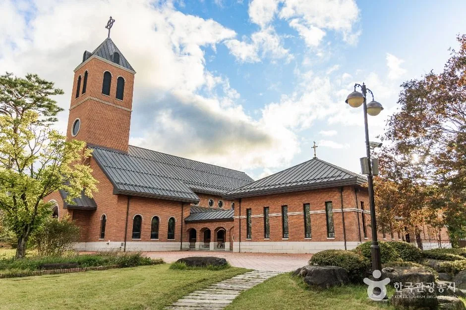 Photo: Korea Tourism Organization Photo Gallery (14 Jungang-ro Hongmun 2-gil, Yeonpung-myeon, Goesan-gun, Chungcheongbuk-do) · KOGL Type 1
According to the Korea Forest Service’s trail geospatial data, the registered difficulty for the Huiyangsan section within its jurisdiction (Jujin-ri section) is as follows.
| Section | Total Length | Difficulty | Main Surface |
|---|---|---|---|
| Jujin-ri section | 5.6km | Easy | - |
※ The 5.6km figure is the combined total length of all trails within the jurisdiction, not the distance of a single course.
While this registered section is classified as “Easy,” most of the actual GPX-tracked courses covered earlier rated ★★★★☆ to ★★★★★, meaning the routes to the summit feel considerably tougher in practice. This suggests the registered data likely covers only part of the mountain’s trails (such as the entrance section), so if you’re planning a summit route, it’s safer to go by the GPX-tracked course table rather than the official difficulty rating.
The safety facility data lists 0 designated viewpoints, 0 water sources (spring water), 0 shelters, and 0 designated hazard zones, with 2 confirmed trailheads/trail exits. That said, the actual course signage data separately marks several notable viewpoints—Huiyangsan View, Ridge Viewpoint, Summit View, and Viewing Rock, among others—so regardless of what the official facility count shows, there are actually quite a few spots along the way where you can enjoy the view. As for the surface, the closer you get to the summit, the more exposed granite bedrock you’ll encounter, which gets very slippery in the rain and carries a real risk of icing in winter. Some of the rocky ridge sections require using your hands to climb, so it’s especially important to be careful about your route choice right after rain or during icy conditions.
Distance and Time Required
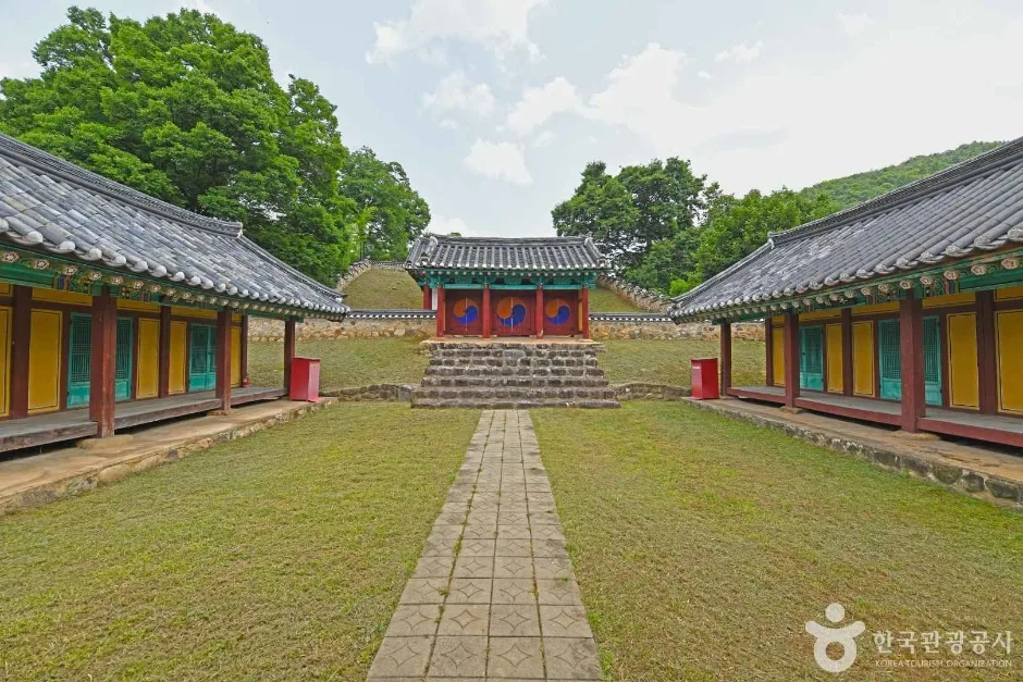 Photo: Korea Tourism Organization photo gallery (40-2 Hyanggyo-ro, Yeonpung-myeon, Goesan-gun, Chungcheongbuk-do) · Public Nuri
Hiking Huiyangsan’s summit area can pretty comfortably be done as a day trip — there’s no registered shelter for the mountain, so you don’t need to plan for an overnight stay. That said, the official figures of 140 minutes up and 98 minutes down are cumulative numbers across multiple sections within the jurisdiction, not the time for any single course — worth keeping in mind so you don’t mistake it for one trail’s duration. If you divide that cumulative time by distance, you get an average ascending pace of roughly 25 minutes per km, which lines up fairly well with the GPX-measured courses covered earlier (mostly working out to 22–26 minutes/km). That makes it a handy benchmark for estimating how long any given course will take. For instance, the shortest, Course 4 (5.89 km), runs around 5 hours round trip, while the longest, Course 3 (14.24 km), can take over 9 hours round trip — so you’ll want an early start for that one.
This section is straightforward — here’s the natural English translation:
Getting There (Public Transit & Parking)
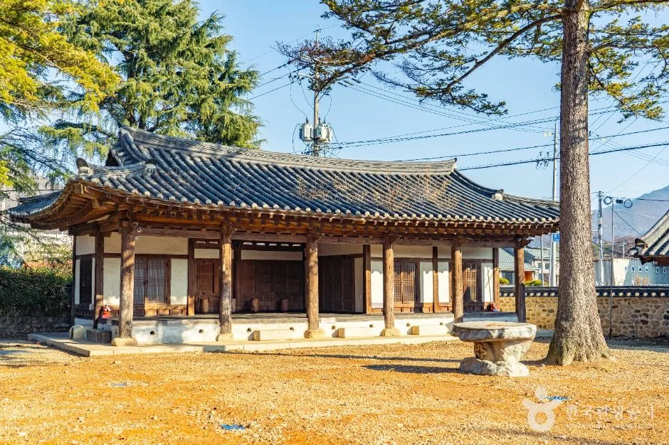 Photo: Korea Tourism Organization Photo Gallery (44 Jungang-ro, Yeonpung-myeon, Goesan-gun, Chungcheongbuk-do) · KOGL
Huiyangsan is one of those mountains that’s a bit tricky to reach by public transit alone. There’s no subway running anywhere near it, so the usual approach is to get to the intercity bus terminal in Mungyeong or Goesan, then transfer to a local rural or village bus that’ll get you close to the trailhead. According to public data, there are two bus stops near the trailhead — Jinchon and Ipseok. Ipseok Stop in particular is close to the Ipseok Village parking area on the Akhwibong Summit route (Course 5), which makes it a handy reference point if you’re relying on public transportation. Just be sure to check the actual schedules and routes for each stop ahead of time, since they can vary.
As for parking, public data doesn’t show any officially registered lots in the area (places like the Ipseok Village parking area show up on course maps, but they’re not reflected in the official parking statistics). If you’re driving, it’s safer to park in a village lot or along the roadside as directed by local signage. I’d also recommend double-checking your route on KakaoMap or Naver Map beforehand — just search “Huiyangsan” or a nearby village name like Eunti-maeul or Ipseok-maeul to confirm the walking and driving directions.
The best times to hike Huiyangsan are spring, when fresh green leaves fill the mountain, and fall, when the foliage turns. In summer, the lower stretches near the entrance are pleasant enough, with the sound of the stream and plenty of shade, but the rock ridge sections are badly exposed, so it’s best to avoid hiking during the heat of midday. In winter, the granite rock faces near the summit ice over, and the difficulty jumps considerably as a result — crampons, gaiters, and other cold-weather and anti-slip gear are essential.
For must-haves, I’d recommend hiking boots with solid grip (there’s a lot of rock scrambling), plenty of water (there are no water stations along the way, so you need to carry all of it yourself), gloves (for the sections where you’ll be gripping rock), trekking poles, a windproof/waterproof jacket, and a basic first-aid kit. There are no shelters on this mountain, so stick strictly to a day-hike schedule, and during shorter-daylight seasons, avoid coming down late in the afternoon.
Tips for Foreign Travelers
Huiyangsan is well known even among Korean hikers for its dramatic rock peaks, but it’s likely an unfamiliar name for foreign visitors. The summit is romanized as Huiyangsan Peak, and the main ridge peaks are labeled Guwangbong, Sirubong, Akhwibong, Juchibong, and Makjangbong. There’s no separate permit or entrance fee required for hiking here as far as we know, but keep in mind that Bongamsa Temple at the base of the mountain is generally off-limits to visitors — you can usually only tour the temple grounds on specific days (like Buddha’s Birthday). Restrooms are only available near the Ipseok Village parking lot on Course 5 (the Akhwibong Peak route); none of the other courses have facilities, so it’s best to take care of business before you set out. There are no registered water stations (drinking springs) anywhere on the mountain, so make sure to bring plenty of water with you. As for map apps, Google Maps often fails to accurately show trail information in Korea’s mountainous areas, so it’s worth installing KakaoMap or Naver Map — the ones locals actually use — to check the real trails and public transit routes. Since there’s a lot of rocky ridge terrain here, it’s safer to hike with a companion rather than solo, and it’s best to postpone your hike if the weather turns bad.
Nearby Peaks Worth Exploring
- Bubong’s rocky ridge with its rope climbs, Juheulsan cradling Mungyeong Saejae — about 11km as the crow flies
- Hwangaksan in Gimcheon, the Baekdudaegan ridge trail embracing Jikjisa — about 69km as the crow flies
- Geumosan in Gumi, home to Daehye Falls and its fortress rock ridge — about 76km as the crow flies
📍 White Granite Peaks Rising Over Huiyangsan, Between Mungyeong and GoesanLocation
Contact: bumseok.view [at] gmail [dot] com
Related posts
-
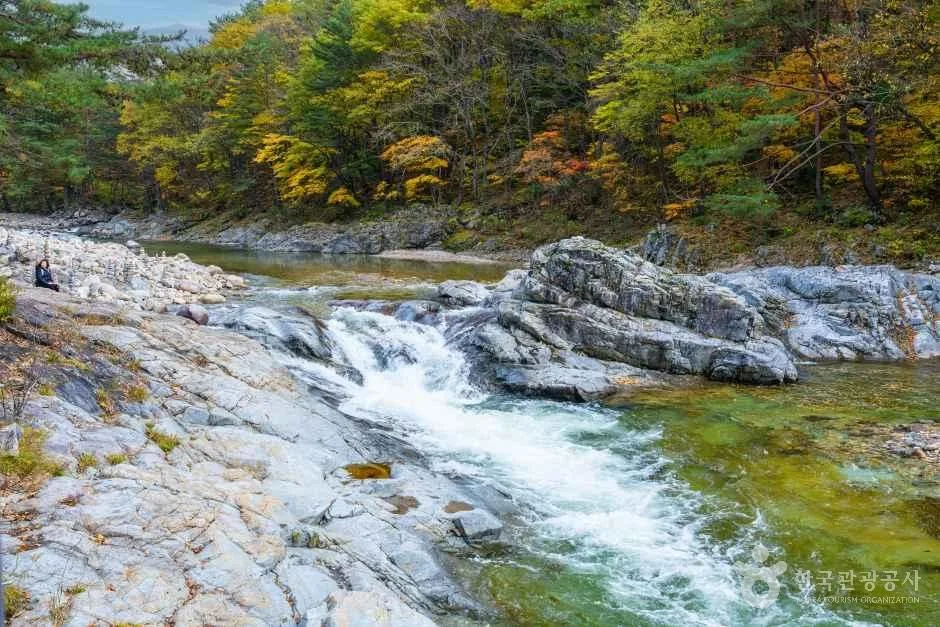
Stairway to Heaven on the Baekdudaegan's Rocky Ridges: Hwangjangsan in Mungyeong
-
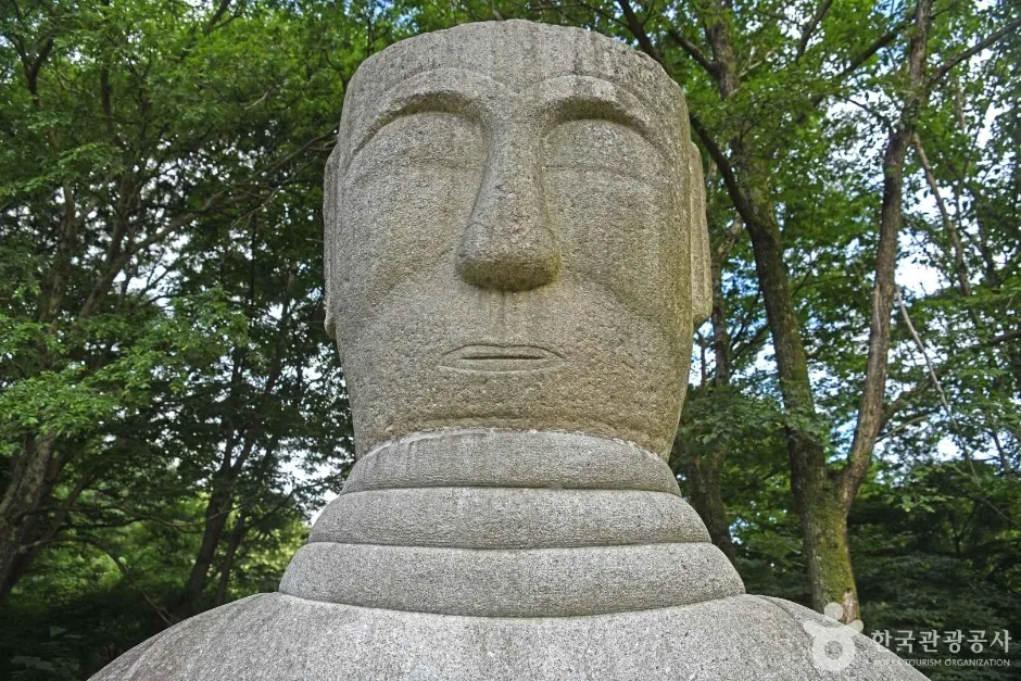
Ropes up the Bubong rock ridge — Juheulsan, the mountain that cradles Mungyeong Saejae
-
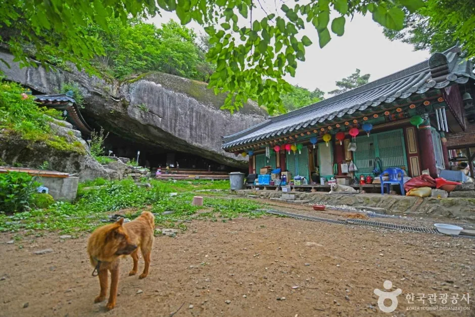
Mungyeong's Daeyasan, Home to the Elephant Rock Ridge and Yongchu Valley
-
Thrill of the Sky Bridge: Cheongnyangsan's Twelve Rock Peaks
Comments