Gumi's Geumo Mountain: Daehye Falls and the Fortress Ridge
Hiking · Published 7/31/2026 ·
등산로 트랙·시설 (공공데이터: 전국등산로 공간정보) · 🚩시종점 💧음수대 👁️조망점 🏠대피소 🅿️주차장 ⚠️위험 · 지도 © OpenStreetMap ⤓ GPX 다운로드
At a Glance
| Metric | Rating |
|---|---|
| Accessibility (transit/parking) | ★★☆☆☆ |
| Trail difficulty | ★★★★☆ |
| Water/springs on the mountain | ★☆☆☆☆ |
| Overnight stay needed | ★☆☆☆☆ (day trip is plenty) |
| Seasonal difficulty – Spring | ★★★☆☆ |
| Seasonal difficulty – Summer | ★★★★☆ |
| Seasonal difficulty – Fall | ★★★☆☆ |
| Seasonal difficulty – Winter | ★★★★★ |
※ Source: Korea Forest Service trail spatial data · accessibility and seasonal figures are for reference only
Overview
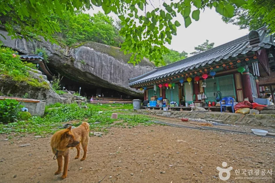
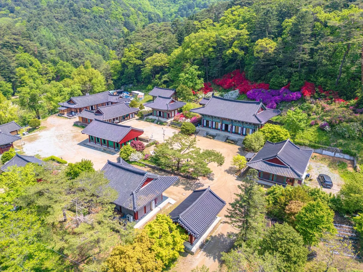
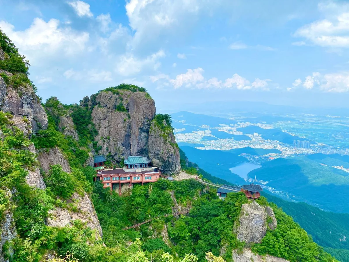 Photo: Korea Tourism Organization photo gallery (Namtong-dong, Gumi, Gyeongsangbuk-do — Yaksaam Hermitage) · Korea Open Government License
Geumosan (金烏山, Mt. Geumo) is a provincial-park-caliber mountain located in Gumi, Gyeongsangbuk-do. Its summit, Hyeonwolbong (玄月峰), is recorded at around 984m according to peak survey data (though the same body of data also lists a figure of 981m, so keep in mind the elevation may vary slightly depending on when it was surveyed). Sheer rock faces and striking crags dot the ridgeline, and the mountain has long been prized for its scenery. Measured routes to the summit area range from just over 6km on the short end to as much as 11km, taking roughly 3 hours one way — well within range for a day hike. That said, the net elevation gain runs 750–860m, which is substantial, so this is better classified as an intermediate-to-advanced hike requiring decent fitness and preparation rather than a gentle stroll.
According to Gumi city’s official registry, there are four trail segments within its jurisdiction, adding up to a combined total of 3.43km. It’s worth flagging that this figure isn’t the length of a single route to the summit — it’s the sum of several separate trail segments broken down by administrative district — so it’s a different kind of number from the measured route distances (6–11km) given under “Main Routes” below.
Mountain Shape & Terrain
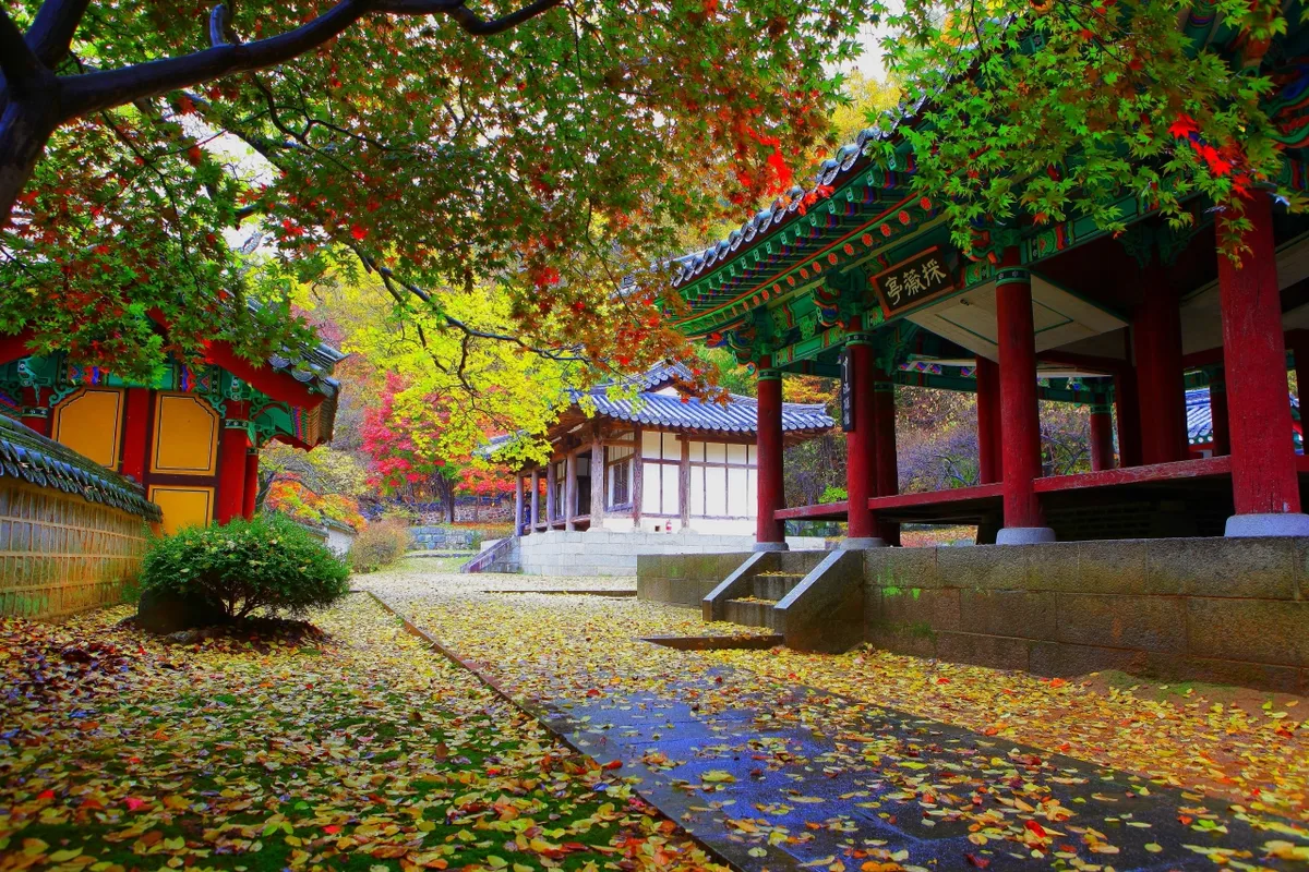 Photo: Korea Tourism Organization photo gallery (Gumi, Gyeongsangbuk-do, Geumosan) · KOGL Type 1
Geumosan isn’t your gentle, soil-covered mountain — it’s defined by its jagged rock peaks and knife-edge ridges. Centered on the summit, Hyeonwolbong, the ridgeline strings together peaks like Seongan-jeonwibong (855m), Kaldabong (734m), Hyojabong (515m), and Haldakbong (538m), while lower foothills such as Gameunsan (241m) and Horyeongbong (268m) fan out at the base. Near the summit and along the west and south peaks especially, you’ll run into viewing rocks, boulder fields, and slabby lookout terrain — some stretches are steep enough that you’ll need ropes or handholds to get through. The remains of Geumosanseong fortress, which still trace the ridgeline in places, are another signature feature — you’ll spot the fortress walls woven into the rocky scenery on trail markers throughout the course. Since the whole area is a provincial park, well-known spots like Daehye Falls and Doseon Cave sit right near the trailhead, which makes this a mountain people visit not just for the summit push but for a quick stroll along the shorter trails too.
The Feel of the Hike
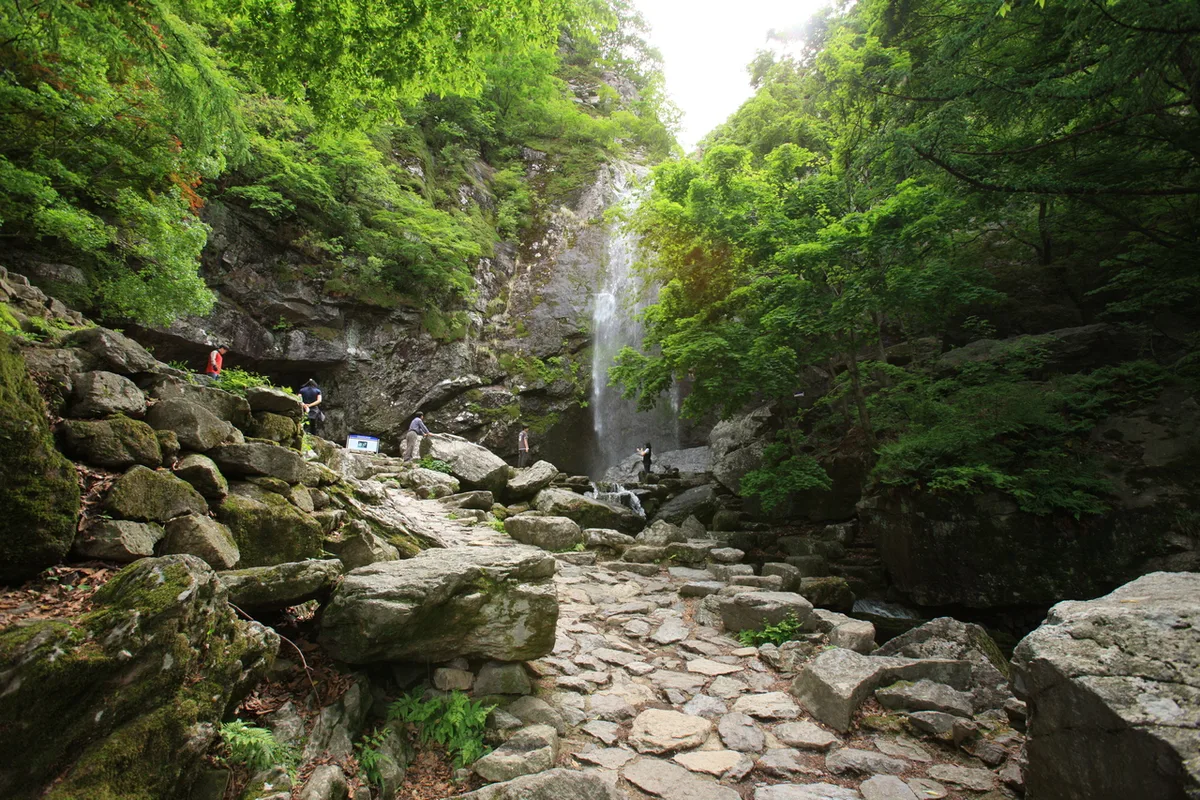 Photo: Korea Tourism Organization Photo Gallery (Gumi, North Gyeongsang Province) · Gongnuri (Korea Open Government License)
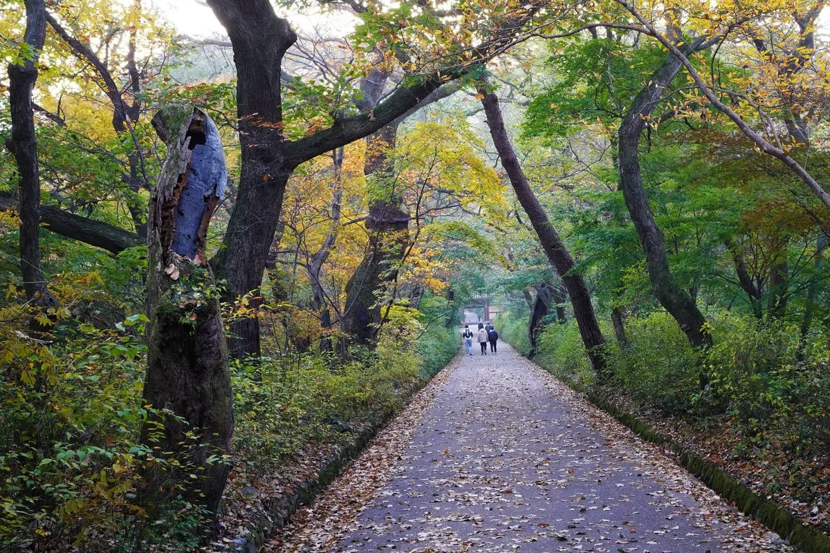
From the trailhead up to the ridge, you’re walking through pine forest and along a valley for a good stretch — shady and fairly damp — and in summer you get to climb along to the sound of the stream, which is a nice touch. Past the halfway point, rocky terrain and viewpoint boulders start showing up more often, and near the summit you’re scrambling up rock ridges with open views in every direction. Several of the trail signs warn about “falling and slipping hazards” along the way, which tells you the summit-area rock ridges aren’t something to take lightly — you really do need to watch your footing. Fall is especially popular here, when the ridge foliage and the rock-ridge views come together beautifully, while spring is best enjoyed for the fresh greenery along the valley and forest path near the entrance. Worth keeping in mind: in winter the rock ridge sections often ice over, which bumps up the difficulty considerably.
Main Routes (by Trailhead)
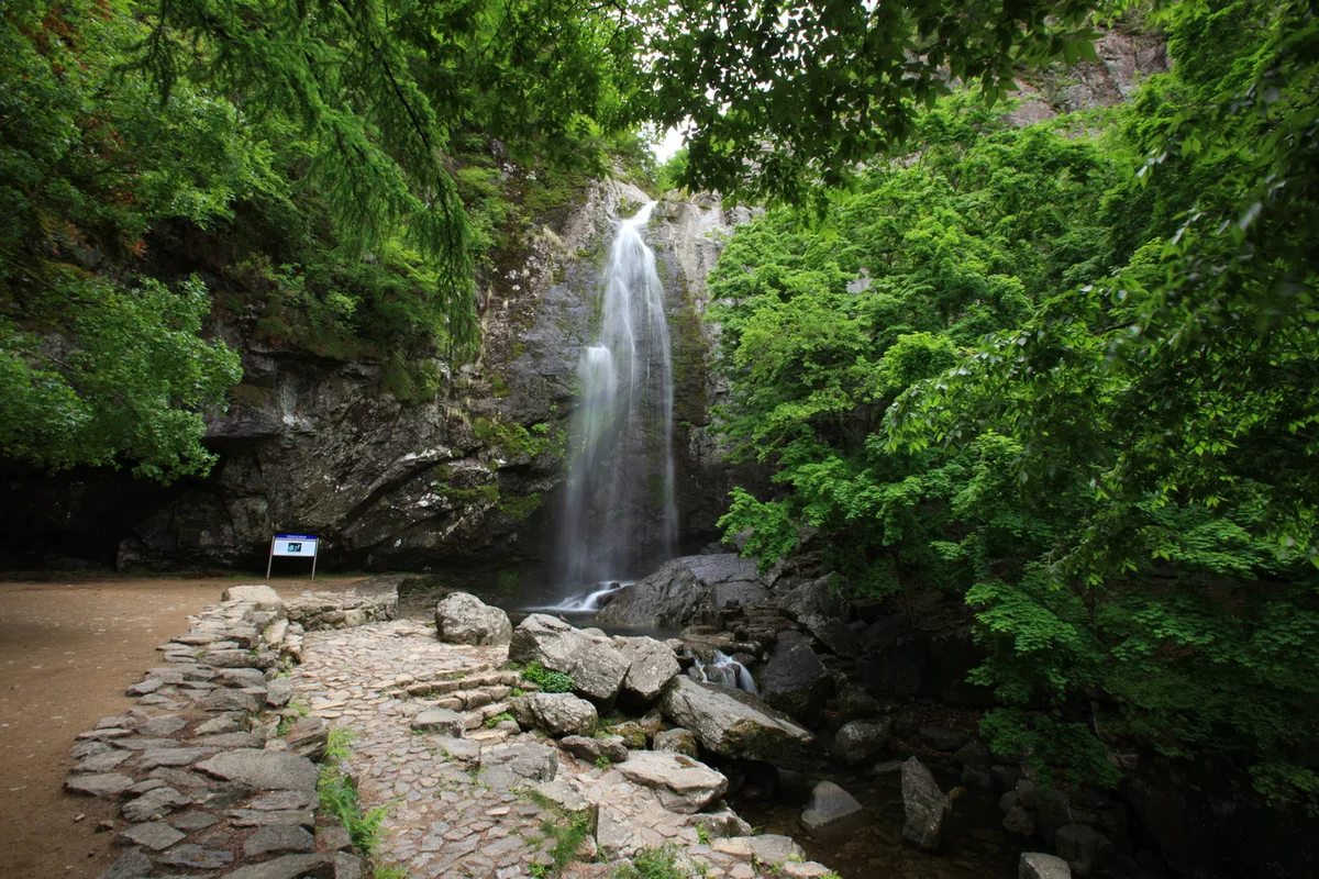 Photo: Korea Tourism Organization Photo Gallery (Gumi, Gyeongsangbuk-do) · KOGL Type 1
| Route (Trailhead → Summit) | Distance | Elevation Gain | Est. Time (One-Way) | Difficulty | Popularity |
|---|---|---|---|---|---|
| Busang-ri Trail Entrance → Summit Marker | 10.93km | ↕754m | ~3h 59m | ★★★★★ | ★★★★☆ |
| Ujanggogae Entrance → Geumosan Summit Marker | 7.4km | ↕763m | ~3h 7m | ★★★★★ | ★★★☆☆ |
| Upper Public Parking Lot → Kaldabong Peak | 9.25km | ↕863m | ~3h 45m | ★★★★★ | ★★★★★ |
| Wooden Bench Rest Area & Exercise Equipment → Summit Marker | 6.63km | ↕802m | ~3h 0m | ★★★★★ | ★★★☆☆ |
| Yeongmaesa Entrance → Geumosan South Peak | 10.26km | ↕814m | ~3h 55m | ★★★★★ | ★★☆☆☆ |
| Hotel Geumosan Entrance → Summit-Direction Signboard | 6.49km | ↕845m | ~3h 2m | ★★★★★ | ★★★☆☆ |
| Trail Entrance → Hyeonggok Observatory | 8.68km | ↕834m | ~3h 34m | ★★★★★ | ★★☆☆☆ |
| Gulamsa Trail Entrance → Summit Marker | 7.94km | ↕819m | ~3h 21m | ★★★★★ | ★★☆☆☆ |
※ Source: Korea Forest Service Trekking Support Center’s Top 100 Mountains GPX data (distance, elevation, time, difficulty) · popularity figures are for reference only
Course 1 — Busang-ri Trailhead → Summit
Route: Fork → Busang-ri trailhead → summit marker → viewpoint rock → wooden bench rest area → stone cairn → pine tree on rock → photo spot on rock → viewpoint cliff → Lookout Point 1 → Lookout Point 1 deck → boulder field → atop viewpoint rock → Lookout Point 2 → Galhangsa Temple
Getting to the trailhead: For the Busang-ri side, most people get there on a Gumi city bus — there are Busang 1-ri and Busang stops nearby, so public transit will get you close to the trailhead. I couldn’t find any designated parking lot in the area, so if you’re driving yourself, you’ll most likely end up parking on the roadside shoulder or in an open lot near the village.
Highlights & who it’s for: This is the longest of the eight courses, and its defining feature is a run of viewpoints one after another, including Lookout Point 1 and Lookout Point 2. Walking the ridge for that long takes a real toll on your legs, but in exchange you get to soak in the views at your own pace — a good match for hikers who are confident in their stamina.
Course 2 — Ujang-gogae Trailhead → Geumosan Peak
Route: Ujang-gogae trailhead → wooden bench rest area → summit marker → fork → fall/slip-hazard section → national grid-reference point → viewpoint rock → overlook rock → Geumosan West Peak → pine forest → rock rest area → wooden platform rest area → Geumosan summit marker
Getting to the trailhead: Ujang-gogae sits out on the edge of Gumi, and getting there often means transferring between city buses, so it’s worth checking the bus stop locations on a map app beforehand.
Highlights & who it’s for: This is a ridge-line course that takes you up over the West Peak on the way to the summit, and partway along there’s a sign warning of a “fall/slip hazard” section — worth extra caution in rainy weather or winter. It’s a good pick if you want to enjoy the view from the West Peak along the way.
Course 3 — Upper Public Parking Lot → Kaldabong
Route: Upper Public Parking Lot → Visitor Center → Cable Car Base → Restrooms → Fork → Haeunsa Temple → Daehye Falls → Rest Area → Geumosan (Seongan Jeonwibong) → Kaldabong
Trailhead access: This is the main gateway to Geumosan Provincial Park, and since the upper public parking lot sits right next to the visitor center and the cable car station, it’s the most accessible trailhead of them all. If you’re driving yourself, this is the parking lot to head for.
Highlights & who it’s for: This route takes you past the park’s signature sights — Daehye Falls and Haeunsa Temple — and with a visitor center and restrooms right at the start, it’s an easy one to plan around, whether you’re new to the mountain or hiking with family. That said, the net elevation gain up to the summit area at Kaldabong is substantial, so pace yourself for the second half.
Course 4 — Wooden Bench Rest & Exercise Equipment → Summit
Route: Wooden bench rest and exercise equipment → fork in the trail → wooden bench rest → summit marker → boulder → Geumosan nature trail signboard → valley → rockfall danger zone → Geumosan summit marker → Geumosan Fortress → viewpoint rock → helipad → fall/slip caution section
Trailhead access: This course starts at a neighborhood rest area equipped with exercise equipment, making it one of the more convenient starting points to reach from downtown Gumi.
Features & who it’s for: Of the eight courses, this one covers the shortest distance while still climbing over 800m in net elevation gain, making it among the steepest per unit distance. Since it passes both Geumosan Fortress and the helipad, it suits hikers interested in historical sites, as well as anyone who prefers a short, intense climb over a long, gentle one.
Course 5 — Yeongmaesa Entrance → Geumosan Nambong Peak
Route: Open-lot parking → Jangsanje Reservoir → Yeongmaesa Temple → Viewpoint Rock → Fork → Rock Face → Geumosan Nambong Peak → Sansindang (Mountain Spirit Shrine) → Rock Formation → Slippery Drop-off Caution Zone → Prayer Site → Sorimsa Temple → Seogamsa Temple
Trailhead access: A quiet starting point that takes you past Jangsanje Reservoir and Yeongmaesa Temple. There’s an open lot you can park in, but it’s not an official paved parking area, so give yourself some extra time to find a spot.
Highlights & who it’s for: What sets this course apart is passing several temples along the way — Yeongmaesa, Sorimsa, Seogamsa — all set in a peaceful mountain atmosphere where you can also spot traces of folk religion like the mountain spirit shrine and unusual rock formations. Recommended if you’re looking to get away from the crowds.
Course 6 — Hotel Geumosan Entrance → Summit-Direction Signpost
Route: fork → valley → rock → rocky ridge viewpoint → summit-direction signpost → viewpoint rock → first aid box → viewpoint rock and pine tree → rock face → wooden bench rest area → Geumosanseong Fortress → stone tower → Sagyejeol Restaurant → Hotel Geumosan entrance
Trailhead access: This course starts near Hotel Geumosan, close to the provincial park’s entrance road, so access is relatively easy. There’s also a small cluster of restaurants right at the start, making it convenient to grab a meal before or after your hike.
Highlights & who it’s for: One nice touch is that a first aid box is marked along the route. You’ll also pass several viewpoints along the rocky ridge, so there are plenty of chances to enjoy the views. This course suits anyone who wants to hike and grab a meal afterward without much extra planning.
Difficulty, Trail Surface, and Cautions
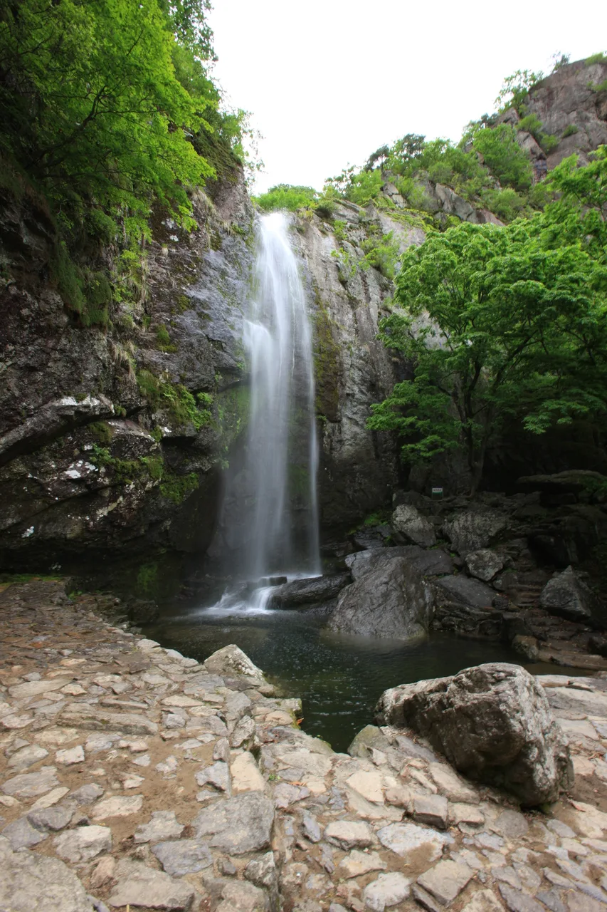 Photo: Korea Tourism Organization photo gallery (Gumi, Gyeongsangbuk-do) · KOGL
The registered trail segments in the district, organized by administrative dong, break down as follows (total length 3.43km):
| Segment | Distance | Difficulty | Surface |
|---|---|---|---|
| (unnamed segment) | 1.95km | Easy | - |
| Hyangcheon-ri segment | 0.7km | Easy | - |
| Yesan-ri segment | 0.48km | Easy/Moderate/Hard | - |
| Sanseong-ri segment | 0.3km | Moderate | - |
These are short trail segments divided by administrative dong, and as with the Yesan-ri segment, a single stretch can mix everything from easy to hard — so the difficulty you actually feel underfoot may vary even within one segment. Across all the trails in the district, the toughest rating on record is “Hard,” and surface material isn’t logged separately.
As for facilities, the trail POI database shows zero registered hazard zones, viewpoints, water stations, shelters, or official trailheads/exit points. That said, the GPX waypoints from the on-the-ground routes covered earlier do flag things like “fall/slip hazard section,” “rockfall risk zone,” “lookout point,” and “viewing rock” multiple times per course. In other words, there can be a gap between the official facility statistics and the actual terrain and safety markers you’ll encounter on site — so be sure to check the signs and markers posted along the trail as you hike, and take extra care on rocky ridge sections, especially after rain or when there’s ice in winter.
Distance and Time Required
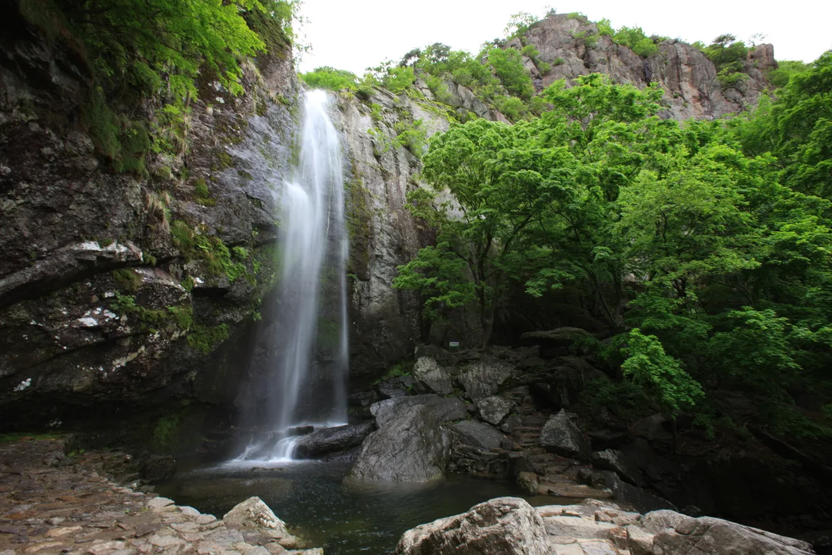 Photo: Korea Tourism Organization Photo Gallery (Gumi, Gyeongsangbuk-do) · KOGL Type 1
Mount Geumo’s trails run somewhere in the 6-11km range one way, taking roughly 3 hours, so even a round trip is doable in a single day. The regional trail database lists 60 minutes for the ascent and 43 minutes for the descent, but don’t mistake that for the time it takes to climb one actual route to the summit — it’s a cumulative figure covering the entire administrative-district section mentioned earlier (3.43km total). Converting that cumulative number into a pace works out to roughly 17 minutes per kilometer on the way up, which is a handy reference point for gauging your own pace when planning a hike. The actual summit routes climb a net elevation gain of 750-860m, though, so they’ll likely take longer than that average pace suggests. For a round trip, it’s safer to budget 6-8 hours and settle on a turnaround time in advance. You can make it up and back in a single day without needing an overnight stay, but in late fall and winter, when daylight is short, you’ll want to start early.
Getting There (Public Transit & Parking)
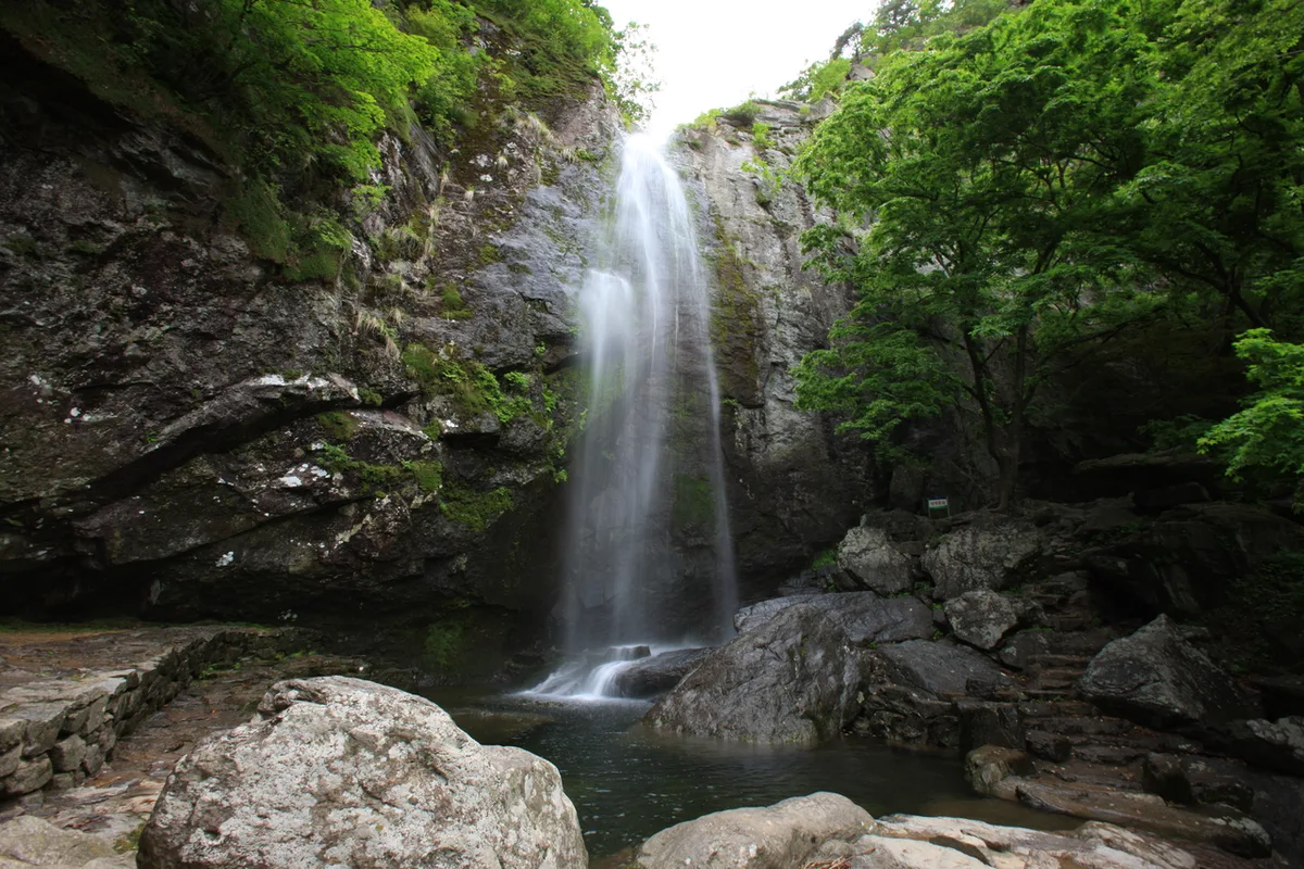 Photo: Korea Tourism Organization Photo Gallery (Gumi, North Gyeongsang Province) · KOGL
Geumosan sits in Gumi, North Gyeongsang Province. From Seoul and the greater capital area, the usual route is KTX to Gimcheon-Gumi Station or Gumi Station, then a transfer to a city bus. The most useful line runs toward the provincial park ticket booth and cable car area (near the upper public parking lot for Course 3). If you’re heading to the Busang-ri trailhead (Course 1) instead, get off at the Busang 1-ri or Busang stop and walk in from there. That said, Gumi’s city bus routes and schedules shift often, so check real-time transit directions on KakaoMap or Naver Map before you head out — Google Maps’ transit and walking data in Korea is spotty and often unreliable. For parking, your best bet is the upper public lot near the provincial park ticket booth. The other trailheads (Ujang-gogae, Yeongmaesa, Hotel Geumosan) don’t have confirmed proper parking lots, so it’s smarter to plan on public transit for those.
Season, Weather & Gear
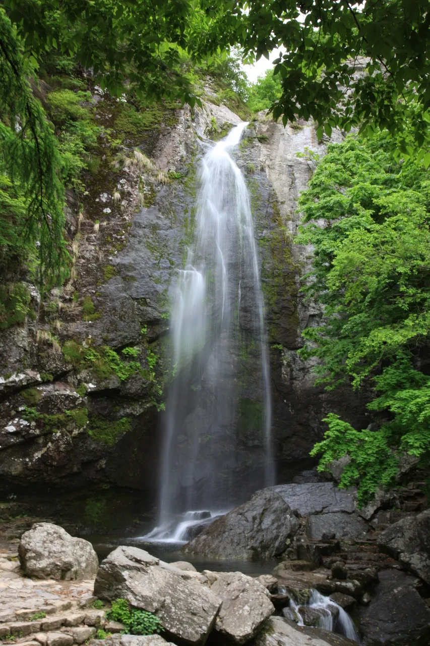 Photo: Korea Tourism Organization photo gallery (Gumi, Gyeongsangbuk-do) · KOGL Type 1
The best times to hike here are spring (April–May) and fall (September–November). In spring you get fresh green along the valley entrance and forest trails, and in fall you get ridge foliage plus those open rock-ridge views. Summer’s tougher going — the humidity down in the valley plus the heat really drains you, and if a localized downpour hits, be careful crossing the valley sections. Winter is where things get trickier than they look on paper: the rock ridges and viewpoint outcrops ice over easily, which bumps up the real difficulty quite a bit, so crampons, gaiters, and cold-weather gear are non-negotiable. There don’t seem to be any water stations on the mountain, so bring plenty of your own drinking water regardless of season — I’d say 1 to 1.5 liters per person, minimum. And head out with the basics: hiking boots, poles, a headlamp (just in case), and some emergency food.
Tips for Foreign Travelers
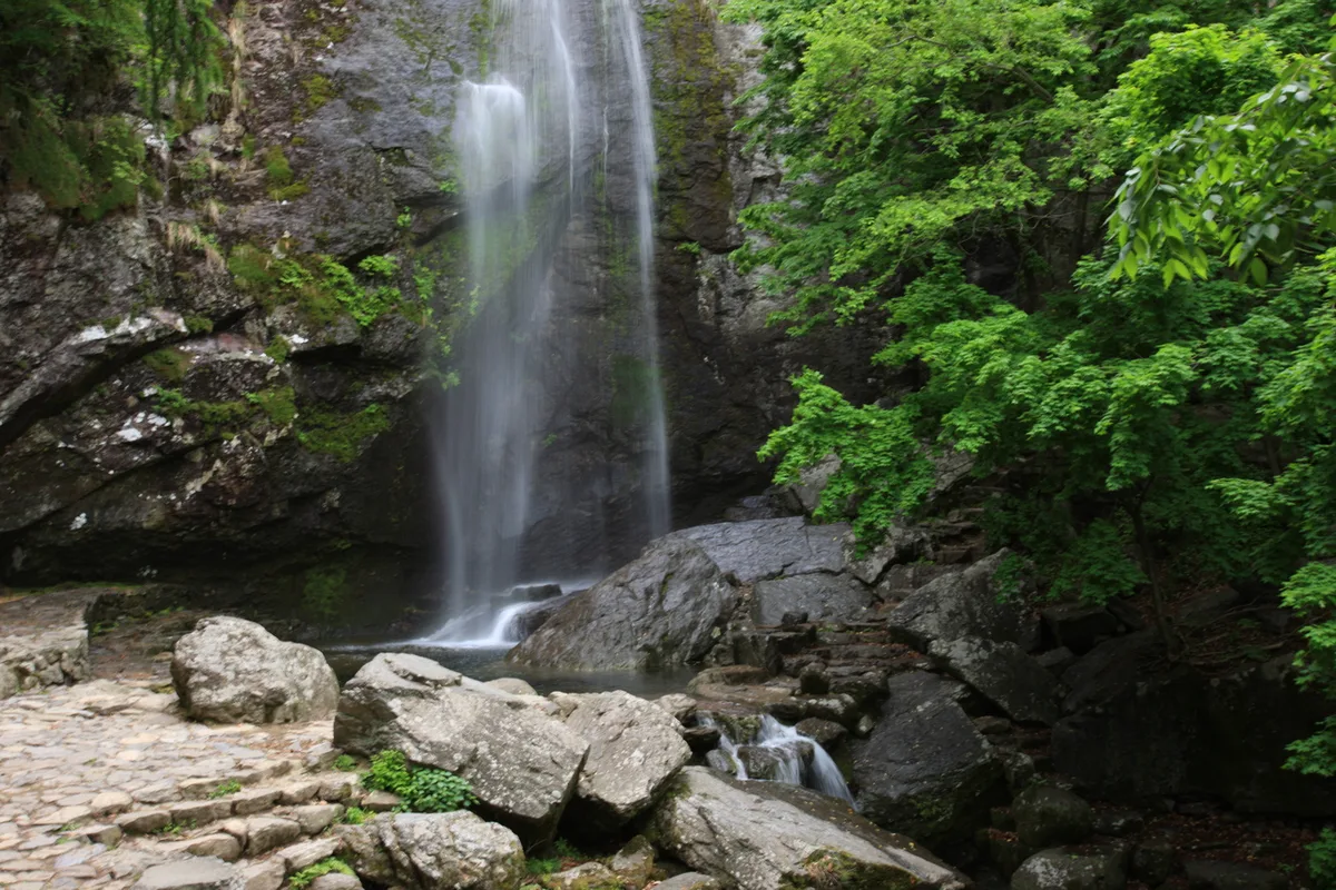 Photo: Korea Tourism Organization Photo Gallery (Gumi, Gyeongsangbuk-do) · KOGL Type 1
The mountain’s name is romanized as Geumosan (its summit, Hyeonwolbong), and since it’s a provincial park rather than a national park, there’s generally no separate hiking registration or steep entrance fee system to worry about — though a park entry fee or parking charge may still apply, so it’s worth checking at the on-site information center. Restrooms are available near the Upper Public Parking Lot and the visitor center (Course 3); no other trailheads have confirmed restroom facilities, so it’s best to use one at a transit stop or somewhere in town before you set out. As mentioned earlier, there are no drinking fountains on the mountain, so make sure to buy and pack your own water in advance. For maps, KakaoMap or Naver Map will show trail and public transit info far more accurately than Google Maps. The summit ridge has several rocky sections marked with “fall/slip hazard” warnings, so if you’re a less experienced hiker, a good alternative is sticking to the early, well-equipped stretch of Course 3 (Upper Public Parking Lot → Kaldabong) — specifically the segment from the visitor center to Daehye Falls. Cell signal is generally reliable, but it’s still a good idea to let a travel companion or your accommodation know when you expect to be back down, just in case.
Other nearby mountains
- A granite ridge cradling Buddhist relics — Palgongsan, Daegu — about 36km away as the crow flies
- Ice Valley and the silver grass plateau of Sajapyeong — Jaeyaksan, Miryang — about 85km away as the crow flies
- Silver grass plains and rocky ridge views — Sinbulsan, Ulsan — about 91km away as the crow flies
📍 Gumi's Geumo Mountain: Daehye Falls and the Fortress RidgeLocation
Contact: bumseok.view [at] gmail [dot] com
Related posts
-
Ropes up the Bubong rock ridge — Juheulsan, the mountain that cradles Mungyeong Saejae
-
Rock Spires and Pines Along the Natural Ridge: Gyeryongsan in Daejeon and Gongju
-
Mungyeong's Daeyasan, Home to the Elephant Rock Ridge and Yongchu Valley
-
Old Pine Ridge Wrapping Around Gulun Reservoir, Hongcheon Gongjak Mountain
Comments