Snow Blossoms and Frost-Coated Yew Ridges: Taebaeksan in Gangwon
Hiking · Published 8/3/2026 ·
등산로 트랙·시설 (공공데이터: 전국등산로 공간정보) · 🚩시종점 💧음수대 👁️조망점 🏠대피소 🅿️주차장 ⚠️위험 · 지도 © OpenStreetMap ⤓ GPX 다운로드
0. At a Glance
| Metric | Rating |
|---|---|
| Access (public transit / parking) | ★★★☆☆ |
| Trail difficulty | ★★★☆☆ |
| Water sources on the mountain | ★☆☆☆☆ |
| Need an overnight stay? | ★☆☆☆☆ (easy day trip) |
| Seasonal difficulty — spring | ★★★☆☆ |
| Seasonal difficulty — summer | ★★★☆☆ |
| Seasonal difficulty — autumn | ★★★☆☆ |
| Seasonal difficulty — winter | ★★★★★ |
※ Source: Korea Forest Service trail geospatial data · access and seasonal ratings are rough guides
1. Overview
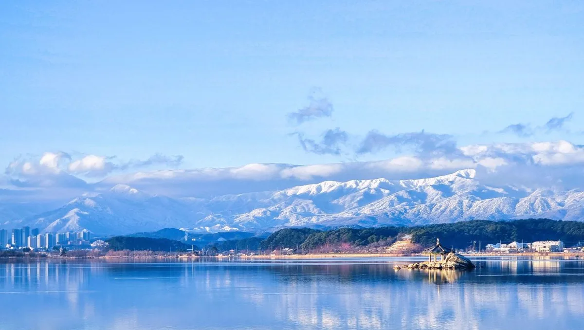 Photo: Korea Tourism Organization photo gallery (Gangneung, Gangwon State) · KOGL
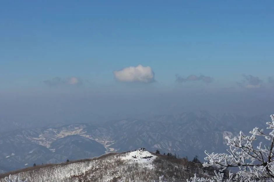
Taebaeksan sits on the border between Taebaek City in Gangwon State and Bonghwa County in North Gyeongsang Province. It’s long been called one of Korea’s sacred mountains, and the tradition of offering rites to heaven at the Cheonjedan altar on its summit has carried on for centuries. This isn’t a jagged, rocky peak — it’s more of an “earth mountain” with gentle ridgelines, which makes it fairly approachable for beginners. That said, the cumulative elevation gain to the summit area is no joke, and winter brings fierce winds and serious ice, so how hard it actually feels varies a lot by season. Taebaeksan’s height is commonly given as 1,567m, though the trail data for this hike puts the highest point in the summit area at 1,580m. Whichever trailhead you pick, a round trip is comfortably doable as a day hike — and in winter, this mountain is known nationwide for its snow-covered branches and hoarfrost.
2. The Lay of the Land
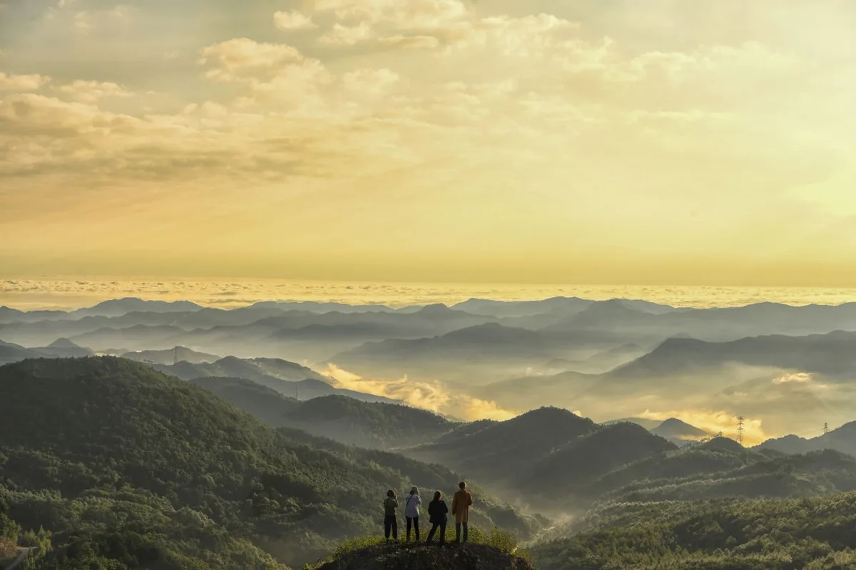 Photo: Korea Tourism Organization photo gallery (Taebaek, Gangwon State) · KOGL
Taebaeksan sits right on the central spine of the Baekdudaegan range, and its character comes less from sharp rocky ridgelines than from broad, gently rounded earthen ones. Up at the summit you’ll find Cheonjedan, an altar once used for rites to the heavens — actually several closely spaced points associated with the altar, spread across elevations of roughly 1,543m to 1,577m, and the whole area gets referred to collectively as the Taebaeksan summit zone. The main peaks are Janggunbong at the top, plus Munsubong and Busoebong further along the ridge, and each one serves as the endpoint for a course starting from a different trailhead. Along the ridge just below the summit, wide stands of centuries-old Korean yew — the tree they say lives a thousand years and stands dead another thousand — create the scenery Taebaeksan is known for. Soil and grassy meadows dominate here rather than rough rock sections.
3. What the Hike Feels Like
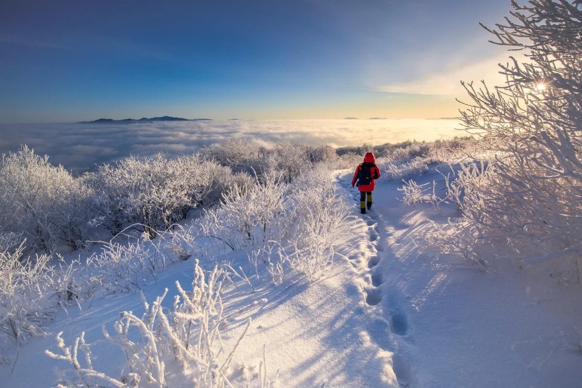 Photo: Korea Tourism Organization photo gallery (Taebaek, Gangwon Province) · KOGL
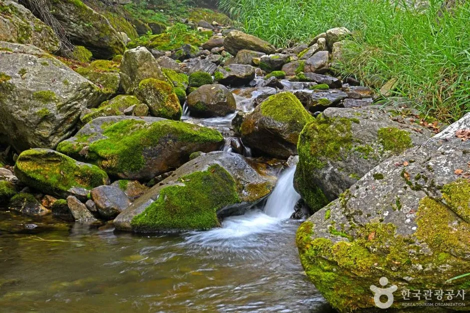
The trails on Taebaeksan start out fairly gentle and then steepen noticeably as you approach the summit area. The lower stretches follow forest paths and streams for much of the way, so there’s plenty of shade. Higher up along the ridge, the trees get shorter and open ground appears where the views spread out in every direction. Near the top, the terrain leaves you fully exposed to the wind — and on a clear day, that same exposure rewards you with a panorama of the Baekdudaegan ridgeline. It’s a mountain with a strong sense of the seasons: spring brings royal azaleas and fresh green growth, summer deep shade and cool valleys, autumn a ridgeline of silver grass mixed with fall color, and winter the yew grove buried under snow and hoarfrost — the view the mountain is best known for.
4. Main Routes (by Trailhead)
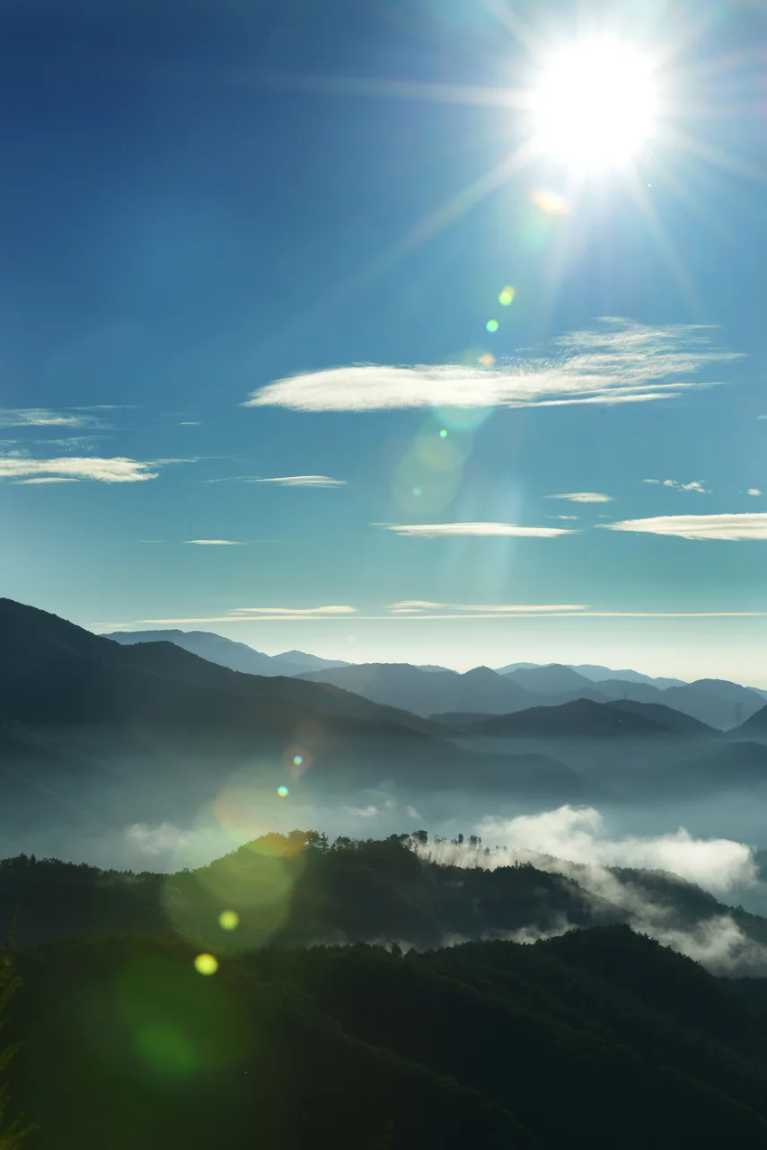 Photo: Korea Tourism Organization photo gallery (Taebaek, Gangwon Province) · KOGL
| Route (Trailhead → Summit) | Distance | Net Elevation Gain | Est. Time (One Way) | Difficulty | Popularity |
|---|---|---|---|---|---|
| Trail Entrance Information Center → Janggun-bong Summit | 4.03km | ↕659m | About 2 hr 6 min | ★★★★☆ | ★★★★☆ |
| Entrance Trail Map → Summit | 5.95km | ↕586m | About 2 hr 28 min | ★★★★☆ | ★★★☆☆ |
| Entrance Viewpoint → Munsu-bong Summit | 11.84km | ↕745m | About 4 hr 12 min | ★★★★★ | ★★☆☆☆ |
| Taebaeksan Baekdansa Entrance → Summit Viewpoint | 9.52km | ↕744m | About 3 hr 37 min | ★★★★★ | ★★★☆☆ |
| Taebaeksan Baekcheon Visitor Center Parking Lot → Busoe-bong Summit | 12.68km | ↕850m | About 4 hr 35 min | ★★★★★ | ★★☆☆☆ |
| Entrance Pavilion Rest Area → Summit | 3.97km | ↕667m | About 2 hr 6 min | ★★★★☆ | ★★★★★ |
※ Source: Korea Hiking and Trekking Support Center’s GPX data for the 100 Famous Mountains (distance, elevation, time, difficulty) · Popularity ratings are for reference only
Course 1 — Trailhead Information Center → Janggunbong Peak
Route: Taebaeksan trail → restroom → trailhead information center → mini-mart → trail fork → snack shop → rest area → no-entry notice → trail → illegal-activity notice → viewpoint → rest area → viewpoint → photo spot → the view from Janggunbong
Getting to the trailhead: This one starts from the Yuilsa ticket office side, and the nearest bus stops are Yuilsa Entrance and Hwabangjae, so you can get here on a Taebaek city bus. There’s a small pull-off area for parking along the road, but I couldn’t find any data confirming an official large parking lot — so on weekends and during peak season, public transit is the way to go.
What it’s like and who it’s for: There’s a snack shop and a mini-mart right at the start, which is handy for picking up anything you forgot. From there the trail follows the ridge, gaining height gradually and passing several viewpoints along the way. Apart from one steep stretch just below the summit, it’s pretty manageable overall — a good pick if it’s your first time on Taebaeksan.
Course 2 — Trailhead Sign → Summit
Waypoints: Eopyeongjae Rest Area Parking Lot → Parking Lot Restrooms → Rest Area Restaurant → Taebaeksan Tourist Map → Fork in the Trail → Rest Shelter → Trailhead Sign → Frequent-Accident Zone → Sallyeonggak History Marker → Sallyeonggak Shrine → Hazard Notice → No Entry Area → Bladdernut Tree → Korean Bird Cherry → Korean Hornbeam
Getting to the Trailhead: This course starts from the rest area parking lot on the Eopyeongjae side, and you can get there on the city bus routes that run along the nearby road. There’s a restaurant and restrooms at the rest area, which makes it easy to stop in before or after your hike.
What It’s Like / Who It’s For: Given the “frequent-accident zone” right there in the course description and the hazard warning signs near Sallyeonggak, this route includes stretches where it’s easy to lose your bearings in fog or high winds — so keep an eye on the weather. It’s a nature-observation course with a run of plant identification signs along the way, covering species like the Korean bird cherry and Korean hornbeam, which makes it a good fit for anyone interested in forest ecology.
Course 3 — Entrance Viewpoint → Munsubong Summit
Route: Geumcheon Parking Lot → Wildfire Watch Post → Parking Lot Restrooms → Taebaeksan Trail Map → Trail Junction → Trail Information Board → Entrance Viewpoint → Portable Restrooms → Entrance Campground → Trailhead Rest Area → Restricted Area Notice → Small Rest Area → Viewpoint → Munsubong Summit → Panoramic View from Munsubong
Getting to the trailhead: This one starts on the Geumcheon side. You can get there using the nearby bus stops at Geumcheon Terminus or Geumcheon Nongwon, and there’s parking available at the Geumcheon Parking Lot.
What it’s like / who it’s for: This is the longest course of the bunch, and it’s rated at the highest difficulty level too — a proper long-haul hike. The campground and rest area right at the start let you ease into things, but getting all the way up to Munsubong Summit takes real stamina, so I’d save this one for hikers with plenty of experience under their belt.
Course 4 — Taebaeksan Baekdansa Entrance → Summit Views
Route: Taebaeksan Baekdansa Entrance → Baekdansa Parking Lot → Baekdansa Entrance Restrooms → Trail Junction → Taebaeksan Yaksuam Hermitage → Prayer Retreat Mireukam Hermitage → Illegal Activity Notice → Bivouac Shelter → Banjae Safety Shelter → Hazard Notice → Shelter → Manggyeongsa Temple → Yongjeong Spring → Trail Map → Danjong Monument Pavilion
Getting to the trailhead: You can get here via the Baekdansa Entrance bus stop, and there’s a parking lot right at the trailhead.
What stands out / who it’s for: This route passes a lot of temples and hermitages — Yaksuam, Mireukam, Manggyeongsa — so there’s plenty of cultural interest along the way. You can also take in historical sites like the Danjong Monument Pavilion, which makes it a good pick for anyone who’d rather combine a hike with a bit of history than just climb for the sake of climbing. That said, the distance and elevation gain are both substantial, so pace yourself.
Course 5 — Taebaeksan Baekcheon Visitor Center Parking Lot → Busoebong Summit
Waypoints: Taebaeksan Baekcheon Visitor Center parking lot → parking lot restrooms → Baekcheon Visitor Center → trail map → valley → trail junction → rockfall hazard zone → rest area → information sign → restricted access area → photo spot → protected tree → simple rest area → wild boar tracks → the view from Busoebong
Getting to the trailhead: The course starts from the Baekcheon Visitor Center parking lot, with Barambul as the nearest bus stop. It’s fairly far out from town, so a car or taxi works better than public transit.
What it’s like / who it’s for: This is the longest of the six courses, with the greatest distance and elevation gain, and a long stretch of climbing alongside the valley. There are rockfall hazard zones and signs warning about wild boar tracks, so you’ll want to be especially careful about wildlife and falling rocks. It suits experienced hikers who prefer a quiet walk and something close to old-growth forest.
Course 6 — Entrance Pavilion Rest Area → Summit
Waypoints: Danggol Parking Lot → restaurant near Danggol Parking Lot → hiking gear shop → Gangnam Sajang → Danggol Plaza → Taebaek Coal Museum → parking lot → Danggol restrooms → trail junction → Entrance Pavilion Rest Area → Sandang shrine → cautionary notice → ritual site → protected area notice → rockfall hazard
Getting to the trailhead: This is the Danggol-side course, the main gateway into Taebaeksan Provincial Park. Taebaek city buses run all the way to Danggol Plaza, and there’s a large parking lot there.
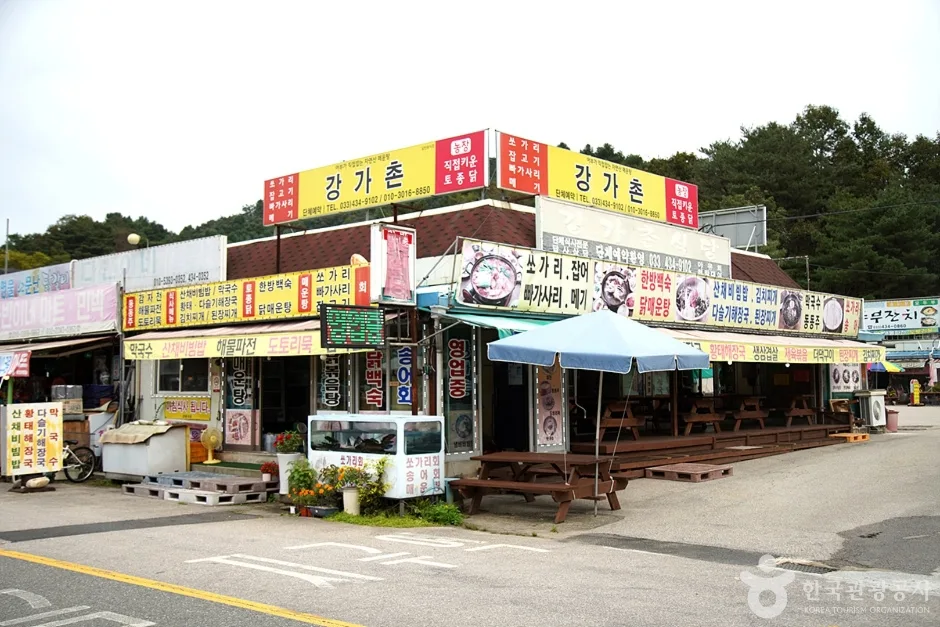
What it’s like / who it suits: Restaurants, a hiking gear shop, the coal museum, and other amenities are all clustered around Danggol Plaza, making this the most accessible and convenient of the six courses. It’s also on the shorter side, so it’s a good pick for families or first-time hikers tackling Taebaeksan for the first time. And since it passes the Sandang shrine and a site where ancestral rites are held, it carries a certain spiritual weight too.
5. Difficulty, Trail Surface, and Cautions
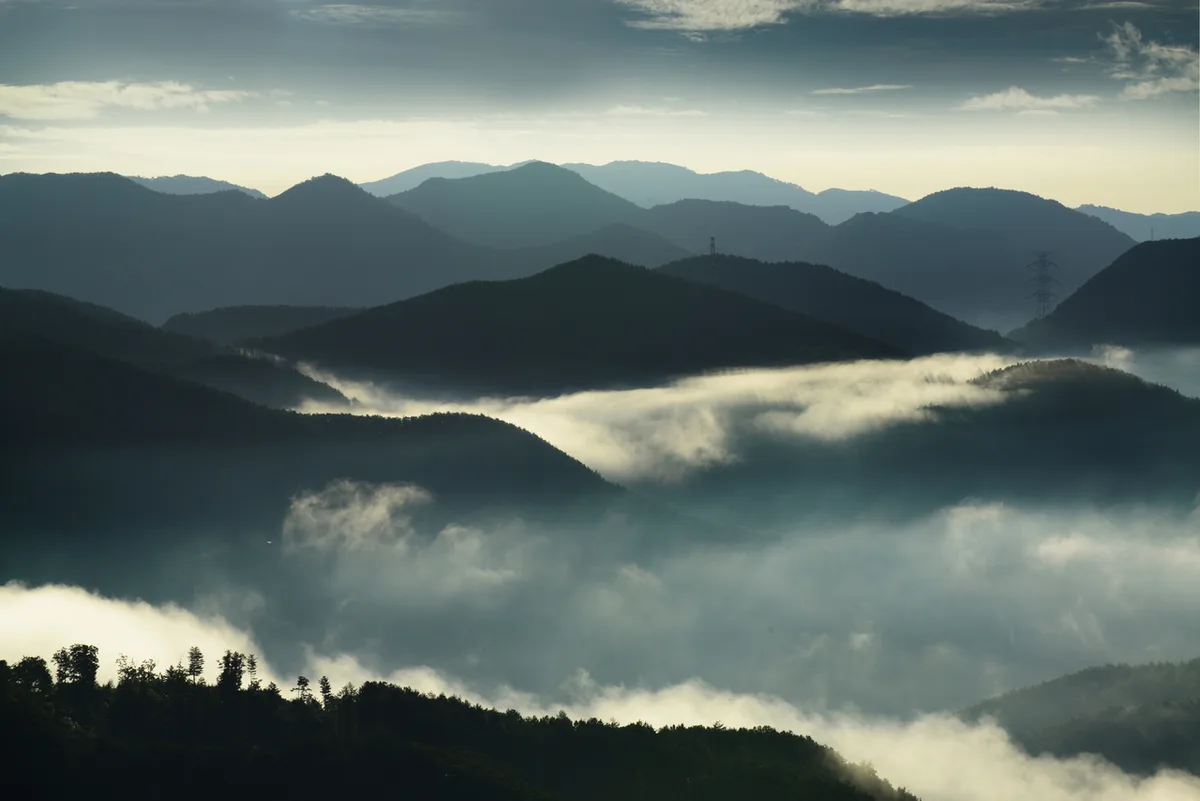 Photo: Korea Tourism Organization photo gallery (Taebaek, Gangwon-do) · KOGL
| Taebaeksan Section | 0.33km | Moderate | - |
|---|
The table above shows section data registered at the administrative-district level, meaning the total combined length of trails within the district (adding up several courses) is 0.33 km, and the highest difficulty rating in the data comes out as “Moderate.” But look at the measured figures for the six actual summit-area courses and you’ll see net elevation gains of 586 m to 850 m, with difficulty rated ★★★★☆ to ★★★★★ — so the reality on your legs is considerably tougher than the district-level summary suggests. The surface is mostly dirt and leaf litter, with only limited stretches of exposed rock, but the ridgeline near the summit is wide open to strong winds, and in winter icy sections form across broad areas. As for facilities, the public data records zero hazard zones, zero viewpoints, zero shelters, and zero water points — so don’t count on finding safety infrastructure or anywhere to refill water. That said, the signpost waypoints along each course carry plenty of on-site warnings — “Hazard Notice,” “No Entry,” “Falling Rock Danger,” “Frequent Accident Zone” — so in fog, high wind, or icy conditions, those stretches deserve real caution.
6. Distance and Time Required
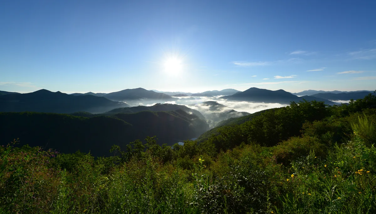 Photo: Korea Tourism Organization photo gallery (Taebaek, Gangwon Province) · KOGL
Whatever trailhead you pick, Taebaeksan is comfortably doable as a there-and-back day hike. One-way times vary a lot by route, from roughly 2 hours 6 minutes on the shortest options (the Danggol and Yuilsa approaches) to about 4 hours 35 minutes on the longest (the Baekcheon Visitor Support Center approach), so a round trip can run anywhere from four hours to nine-plus once you factor in breaks. You may also see a cumulative figure for all in-district sections, tallied by administrative boundary: 6 minutes uphill and 4 minutes down. Don’t mistake that for actual route times — it’s a reference value based on a very short registered section (0.33 km). What it does give you is an average uphill pace of about 18 minutes per kilometer, which is handy as a rough gauge of how much effort a given distance will cost you when you’re sizing up one-way times route by route. For real planning, take the one-way times from the detailed route table above, add your return leg and breaks, and then give yourself a generous cushion on top.
7. Getting There (Public Transit and Parking)
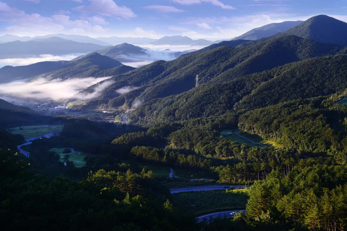 Photo: Korea Tourism Organization photo gallery (Taebaek, Gangwon Province) · KOGL
The usual way to reach the Taebaeksan area is to take a train — KTX, Mugunghwa, or similar — to Taebaek Station, then catch a local bus or taxi to whichever trailhead you’re starting from. Trains run to Taebaek Station from Seoul (Cheongnyangni) and elsewhere, and you can also get there by intercity bus into the Taebaek Intercity Bus Terminal. Of the trailheads, the Danggol side (Course 6) is the easiest to reach by city bus, but there are also stops near the others — Yuilsa Entrance and Hwabangjae (Course 1), Baekdansa Entrance (Course 4), Geumcheon Terminus and Geumcheon Nongwon (Course 3), and Barambul-i (Course 5) — so depending on the route, you can get off and walk the rest of the way. That said, bus routes and timetables in Korea change often, so once you’re on the ground it’s worth checking live routes and schedules with KakaoMap or Naver Map, both of which are more accurate here than Google Maps. If you’re driving, the Danggol Plaza lot is by far the largest; the other trailheads only have small roadside pull-offs or valley lots, so on weekends and during peak season you’ll want to arrive early.
8. Season, Weather, and Gear
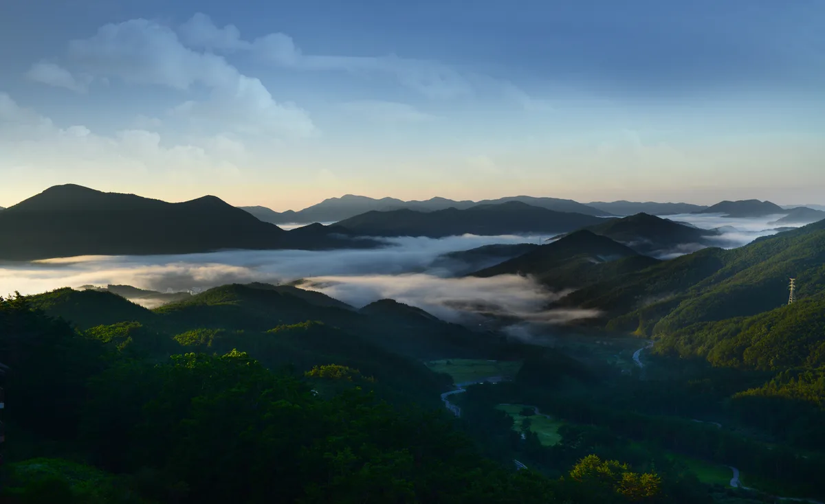 Photo: Korea Tourism Organization photo gallery (Taebaek, Gangwon-do) · KOGL
Taebaeksan is hikeable year-round, but what you need to pack — and watch out for — changes sharply with the season. Spring and fall are the easiest times to go, with mild temperatures, though the ridgeline runs colder and windier than the trailhead, so bring a windbreaker. Summer gives you deep green canopy and cool valleys, but pack a rain shell and a change of clothes for the sudden downpours and humidity. Winter is Taebaeksan’s signature season — crowds come for the snow blossoms and hoarfrost — and it demands the most preparation, since ice and high winds are a real concern. In winter you’ll want crampons, gaiters, insulated gloves, and a warm hat, and because the wind chill on the ridge can run far below what you feel at ground level, layering is the way to go. Year-round, regardless of season, bring hiking boots, plenty of water (there are almost no springs on the mountain, so carry what you’ll need), a headlamp, and emergency food.
9. Tips for International Travelers
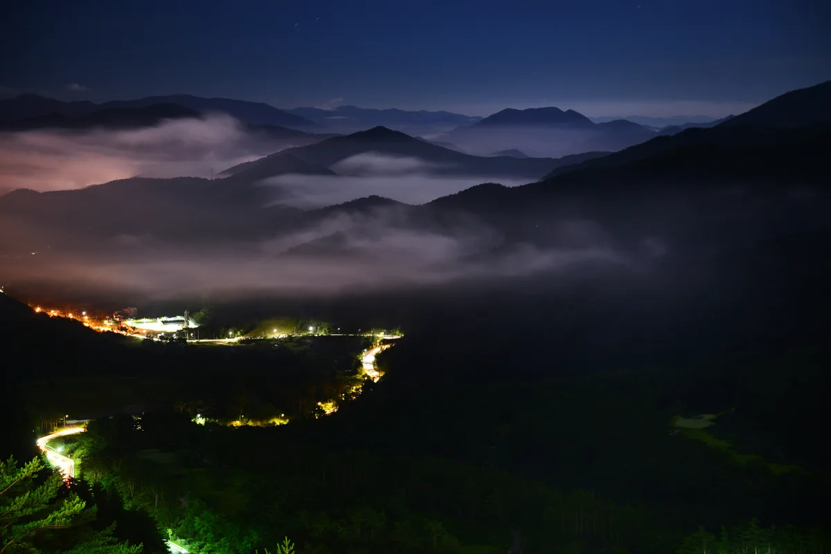 Photo: Korea Tourism Organization photo gallery (Taebaek, Gangwon Province) · KOGL
Taebaeksan is romanized as, well, Taebaeksan. The altar at the summit is Cheonjedan, the main peak is Janggunbong, and the other two you’ll see signposted are Munsubong and Busoebong. Taebaeksan is a provincial park, and you can hike it freely — no permits, no entrance fee. Restrooms are available at the main trailheads: Danggol parking lot, the Baekdansa entrance, Geumcheon parking lot, the Baekcheon visitor center, and the Eopyeongjae rest stop. There are none along the ridge, though, so go before you set off. Public data doesn’t list any water sources on the mountain (no springs or drinking fountains), so filling your own bottles before you start is essential. For navigation, Google Maps is unreliable in a lot of this area — install KakaoMap or Naver Map, both widely used in Korea, and check your transit connections and trail routes ahead of time. On the safety side, watch out for ice and strong winds in winter. Signage is mostly in Korean, so it’s worth stopping at a national or provincial park information center or the management office to pick up a map before you start.
Other Mountains Nearby
- Rope-hauling ridges on Bubong, and Juheulsan cradling Mungyeong Saejae — about 82 km as the crow flies
- Old pines along the ridge wrapping Gurun Reservoir, Hongcheon’s Gongjaksan — about 106 km as the crow flies
- Granite ridges holding Buddhist relics, Daegu’s Palgongsan — about 123 km as the crow flies
📍 Snow Blossoms and Frost-Coated Yew Ridges: Taebaeksan in GangwonLocation
Contact: bumseok.view [at] gmail [dot] com

Comments