Granite Boulder Field Trails and Royal Azalea Groves: Mt. Biseulsan, Daegu
Hiking · Published 7/24/2026 ·
등산로 트랙·시설 (공공데이터: 전국등산로 공간정보) · 🚩시종점 💧음수대 👁️조망점 🏠대피소 🅿️주차장 ⚠️위험 · 지도 © OpenStreetMap ⤓ GPX 다운로드
At a Glance
| Metric | Rating |
|---|---|
| Accessibility (public transit/parking) | ★★☆☆☆ |
| Trail difficulty | ★★☆☆☆ |
| Water/springs on the mountain | ★☆☆☆☆ |
| Overnight stay needed | ★★☆☆☆ (a day trip is plenty) |
| Seasonal difficulty – Spring | ★★☆☆☆ |
| Seasonal difficulty – Summer | ★★★☆☆ |
| Seasonal difficulty – Fall | ★★☆☆☆ |
| Seasonal difficulty – Winter | ★★★★☆ |
※ Source: Korea Forest Service trail spatial data · accessibility and seasonal ratings are for reference only
Overview
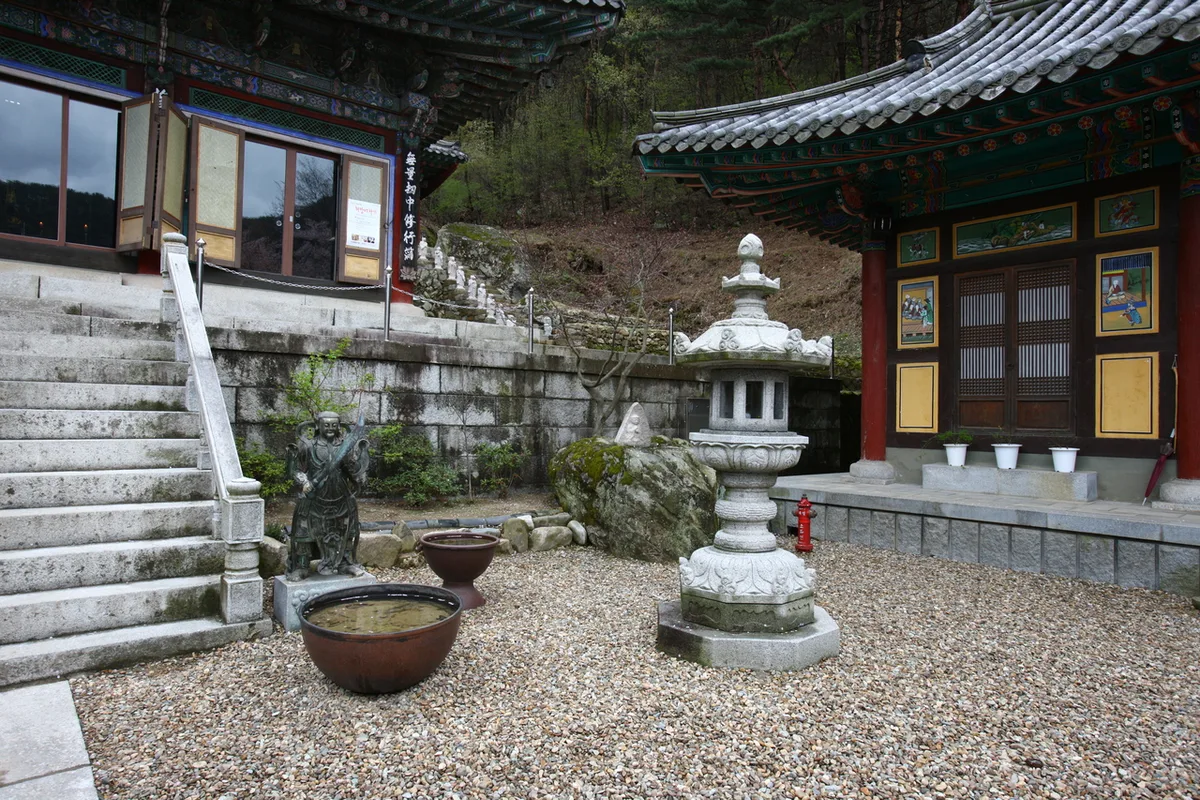 Photo: Korea Tourism Organization photo gallery (Daegu Metropolitan City) · KOGL
Biseulsan (琵瑟山) straddles Dalseong-gun in Daegu and Cheongdo-gun in North Gyeongsang Province, and its upper section forms a gently rolling plateau-like ridge made up of the Cheonwangbong peak cluster and Daegyeonbong. Based on actual GPX tracking, the highest point comes in at 1,116m, and according to the Korea Forest Service’s trail data, the difficulty rating tops out at “easy” — so overall it’s very much a soft, rounded mountain rather than a rocky one. The main routes up to the summit area run 5.8–11.6km one way with 580–890m of net elevation gain, which is no small effort physically, but there’s almost nothing technical about it. Head out early in the morning and a round trip in a single day is entirely doable.
Mountain shape and terrain
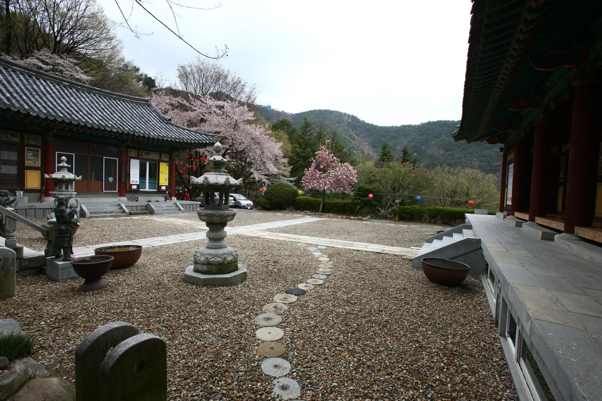 Photo: Korea Tourism Organization Photo Gallery (Daegu Metropolitan City) · KOGL
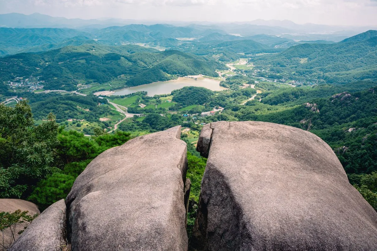
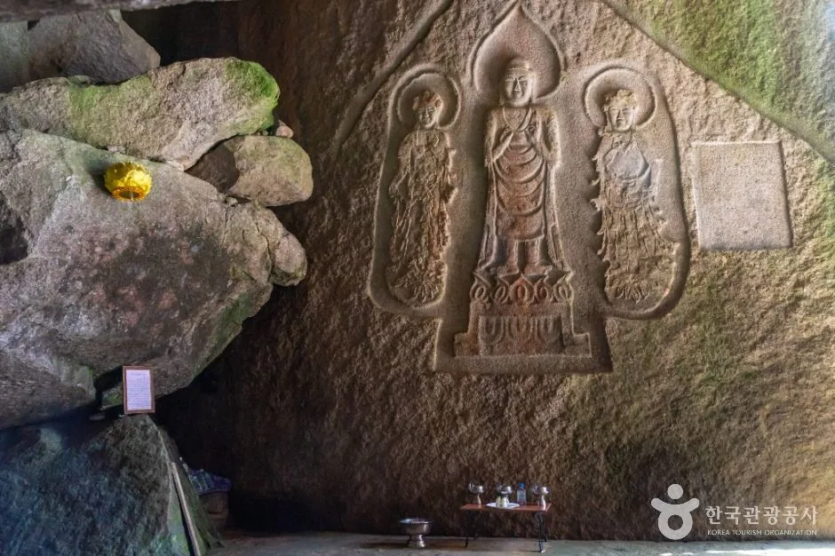
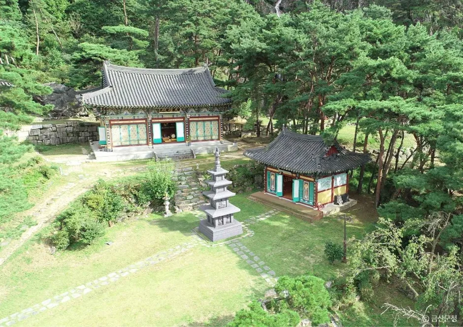
Biseulsan isn’t the kind of mountain defined by dramatic, jagged peaks — it’s more about broad ridgelines and plateau-like terrain. Along the summit area, a string of peaks runs the length of the ridge: Sinbaengisan (659m), Biseulsan Cheonwangbong (recorded anywhere from 1,073 to 1,089m depending on the source), Johwabong (1,051m), Biseulsan Daegyeonbong (1,033m), and the summit of Dakjimandangsan (709m). These peaks are all linked by gentle ridges, which makes the whole area well suited to a traverse-style hike. Biseulsan is also well known for its large-scale block streams — granite boulder fields that look almost like a river of rock flowing down the slope — along with extensive scree terrain, so you’ll run into rock fields of various sizes all along the summit ridge. Near the peak, the site of Daegyeonsa, a temple that was rebuilt after being destroyed, is especially famous in spring, when the view opens up over the surrounding fields of wild azaleas (jinmyeongok/jindallae).
What the Hike Feels Like
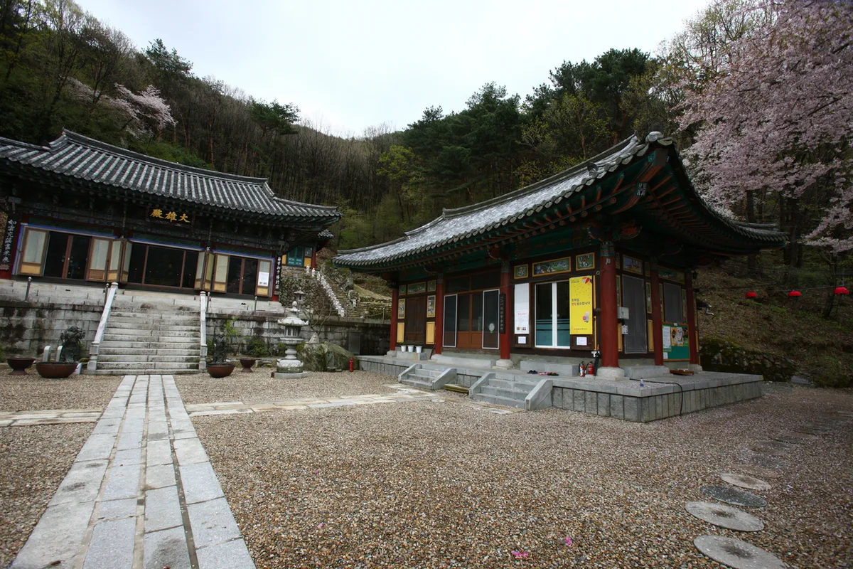 Photo: Korea Tourism Organization Photo Gallery (Daegu Metropolitan City) · KOGL
The start of the trail is mostly a gentle dirt path through thick forest, so it’s easy on the legs — but the closer you get to the summit, the more rock fields and scree start showing up, and the perceived grade climbs fast. Once you’re up on the ridge, there are several spots where the view opens up in every direction, which makes the walking that much more rewarding. Spring brings crowds for the royal azaleas blazing red across the slopes; in summer, the shaded paths along the valley offer some relief from the heat; and in fall, silver grass and autumn foliage spread out along the ridgeline. In winter, snow and frost linger on the upper ridges long after they’ve melted elsewhere, giving the mountain a hushed, quiet winter atmosphere.
Main Routes (by Trailhead)
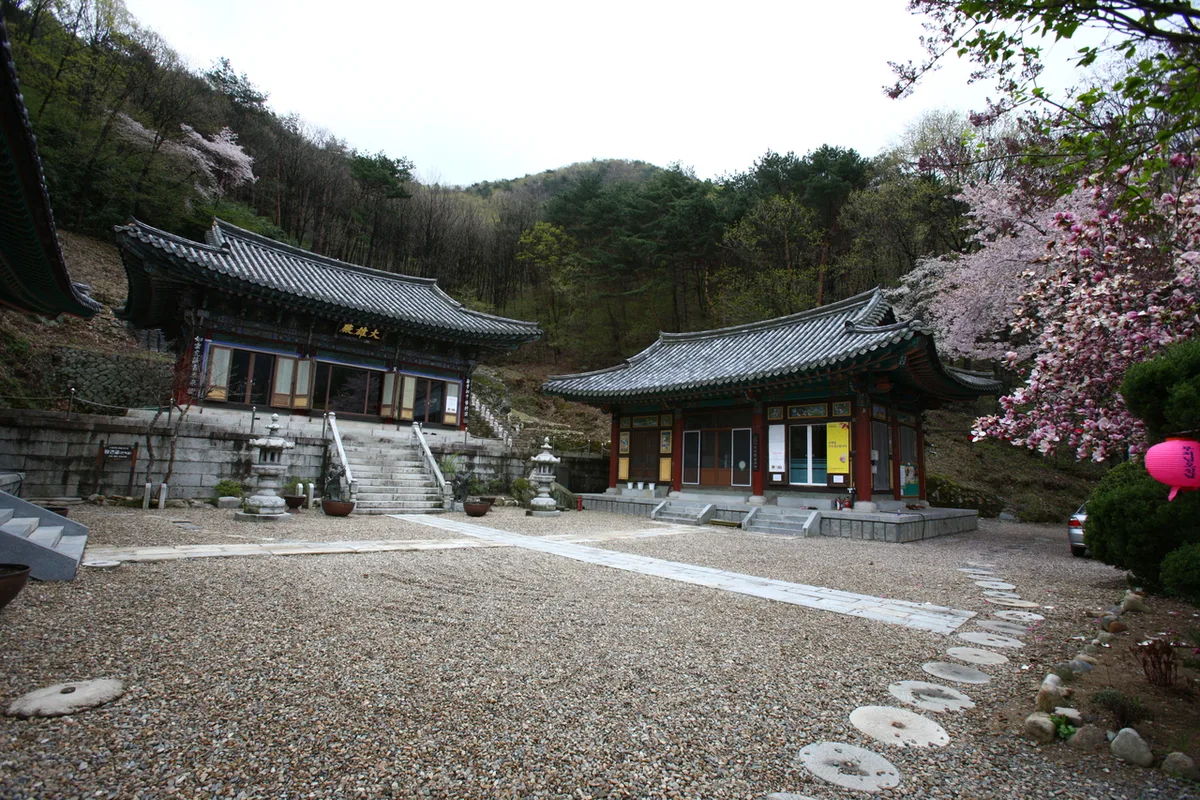 Photo: Korea Tourism Organization Photo Gallery (Daegu Metropolitan City) · Korea Open Government License
| Route (Trailhead → Summit) | Distance | Elevation Gain | Est. Time (One-way) | Difficulty | Popularity |
|---|---|---|---|---|---|
| Yongyeonsa Temple (Bus Stop ID 01833) → Biseulsan Cheonwangbong Peak | 11.62km | ↕893m | ~4 hr 24 min | ★★★★★ | ★★★★★ |
| Between Daegyeonsa Temple and Cheonwangbong → Summit | 9.39km | ↕745m | ~3 hr 35 min | ★★★★★ | ★★★★☆ |
| Heoltijae Trailhead → Yongcheonbong Peak | 9.55km | ↕675m | ~3 hr 31 min | ★★★★★ | ★★☆☆☆ |
| Yuchigon Memorial Hall Parking Lot → Wolgwangbong Peak | 10.5km | ↕731m | ~3 hr 51 min | ★★★★★ | ★★☆☆☆ |
| Biseulsan Recreational Forest Public Parking Lot → Gwangibong Peak | 5.81km | ↕581m | ~2 hr 25 min | ★★★★☆ | ★★★☆☆ |
※ Source: Korea Forest Service Hiking & Trekking Support Center, Top 100 Mountains GPX data (distance, elevation, time, difficulty) · Popularity ratings are for reference only
Course 1 — Yongyeonsa Temple → Biseulsan Cheonwangbong Peak
Waypoints: Yongyeonsa Temple (bus stop ID 01833) → restroom → large-vehicle parking lot → Yongyeonsa restroom → Yongyeonsa parking lot → spring → Cultural Heritage Guide House → Yongyeonsa Temple → junction 9 → junction 10 → rest area → junction 13 → Yongyeonsa spring → junction 18 → small rest spot
Getting to the trailhead: There’s a “Yongyeonsa” bus stop near the temple, so you can get there by public transit, and the nearby “Yongyeonsa Facility Cluster” stop works too. The trail data doesn’t list a dedicated parking lot, so I’d recommend taking the bus rather than driving — if you do drive, check the actual parking situation once you’re there.
What makes it stand out, and who it’s for: Of the five courses, this one has the longest distance and the biggest elevation gain, and its waypoints are logged more densely than any of the others — it’s the flagship route, best suited to hikers who already have some experience under their belt. It starts out easy, passing the temple, a spring, and the guide house near the trailhead, but the climb steepens noticeably in the second half, so pace yourself and save some energy for later.
코스 2 — 대견사–천왕봉 사이 → 정상
경유: 대견사 – 천왕봉 사이 → 갈림길 → 유가사 방향 쉼터 → 유가사 방향 → 유가사 사찰 → 유가사 화장실 → 문화관광 안내소 → 유가사 계곡
Trailhead access: This route heads toward Yugasa, following the Yugasa valley uphill and passing the temple itself, the tourist information center, and the restrooms along the way. The Yugasa side is a relatively well-known approach by bus from downtown Daegu, but it’s worth double-checking the exact route on a map app beforehand, since the details can vary.
Highlights & who it suits: This section runs past Daegyeonsa Temple and the azalea colony nearby, so you get both the valley trail and some nice temple scenery in one go. It’s a solid pick if you want to catch the views along with the spring azalea season, and the sound of water and shade along the Yugasa valley make it pretty pleasant even in summer.
Course 3 — Heoltijae Trailhead → Yongcheonbong
Route: Heoltijae parking lot → Heoltijae → Cheongdo Cultural Heritage Info → Heoltijae trailhead → Great View Spot → Great View Spot 2 → Photo Zone 1 → Yongcheonbong → Trail junction → Osan parking lot → Restrooms (men’s/women’s) → Biseulsan Yongcheonsa Temple
Getting to the trailhead: Heoltijae is a mountain pass connecting Daegu and Cheongdo, and it’s generally known as a spot you’d drive to rather than reach by public transit. Signposts confirm parking areas at both the Heoltijae and Osan parking lots, and there are restrooms along the route as well.
What stands out, who it’s for: With signs for “Great View Spot” and “Photo Zone” popping up one after another, this is clearly a course with plenty of open, scenic stretches as you climb the ridge. It’s a good fit for anyone who cares about photos and views, and you’ll pick up some Cheongdo-area cultural heritage info along the way too.
Course 4 — Yuchigon Memorial Hall Parking Lot → Wolgwangbong
Route: Yuchigon Memorial Hall parking lot → Yuchigon Memorial Hall restrooms → General Yuchigon Memorial Hall → shelter → Dolsan → shelter 2 → scenic viewpoint → photo spot → fork → azalea colony shelter → azalea colony → Cheongdo Biseulsan trail guide sign → Wolgwangbong view → Wolgwangbong → azalea colony photo spot
Trailhead access: This course starts from the Yuchigon Memorial Hall parking lot on the Cheongdo side, with a parking lot and restrooms right at the trailhead. Public transit options are said to be fairly limited, so driving is really the more convenient way to get here.
Highlights & who it’s for: The standout feature is passing through the azalea colony twice, which makes this a great pick if you want to build your hike around the spring royal azalea scenery. And as the name “Dolsan” (Rock Mountain) suggests, there’s a rocky stretch along the way, so watch your footing.
Course 5 — Biseulsan Recreational Forest Public Parking Lot → Gwangibong
Route: Biseulsan Recreational Forest public parking lot → parking lot restroom → tour guide center → Biseulsan Recreational Forest bus stop → restaurant info → recreational forest snack bar/restaurant → Biseulsan Healing Center → fork → rest area → rest area 2 → rest area 3 → rest area 4 → helipad → Gwangibong → great view spot
Getting to the trailhead: You can park at the Biseulsan Recreational Forest public parking lot and start from there, and since the trail marker includes a “Biseulsan Recreational Forest bus” stop, it looks like public transit is an option too. There’s a restroom right at the trailhead, which is handy for a last stop before you head up.
Highlights & who it’s for: Of the five courses, this one has the shortest distance and least elevation gain, and it’s relatively easy — plus it passes right by the recreational forest’s amenities, including a restaurant, snack bar, and healing center. That makes it the best pick for beginners or families. With four rest areas strung along the way, you can take it slow and break it up as you go.
Difficulty, Terrain & Cautions
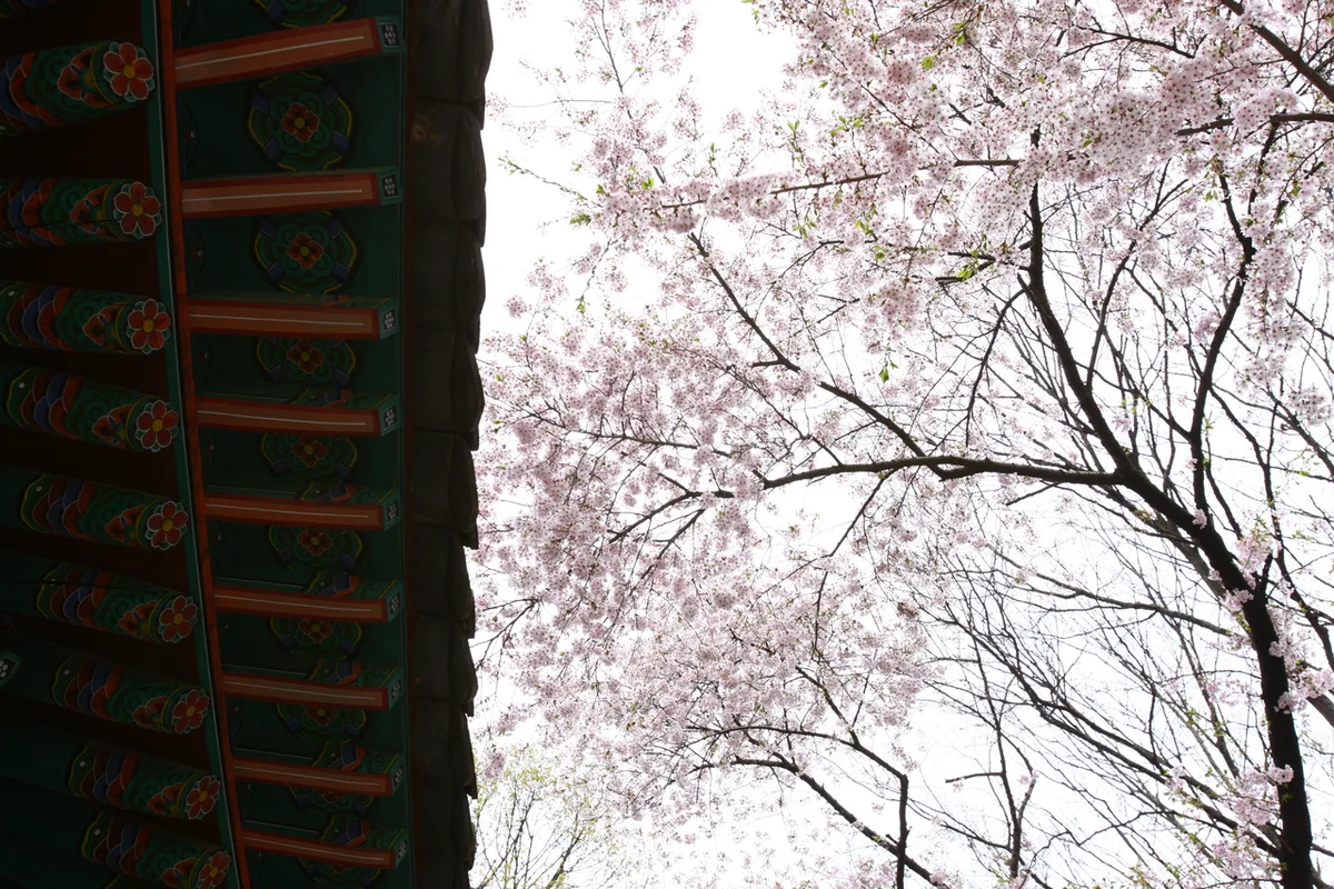 Photo: Korea Tourism Organization Photo Gallery (Daegu Metropolitan City) · KOGL
The total length of trails in the area (combining several sections) comes to 42.49km, registered as 6 sections by administrative district (Namsan-ri, Jeongdae-ri, Osan-ri, Yugasa, Yang-ri, and one unlabeled section). According to the data, every one of these sections is rated “Easy.”
| Section | Distance | Difficulty | Terrain |
|---|---|---|---|
| (Unnamed) | 28.86km | Easy | - |
| Namsan-ri Section | 3.26km | Easy | - |
| Jeongdae-ri Section | 3.22km | Easy | - |
| Osan-ri Section | 3.17km | Easy | - |
| Yugasa Section | 2.44km | Easy | - |
| Yang-ri Section | 1.54km | Easy | - |
※ The sections above represent total trail length by administrative district, not individual named hiking courses.
That said, this “Easy” rating only applies to the sections as registered — the actual routes up toward the summit (Courses 1 through 5) climb a net 580 to 890 meters, so the difficulty you’ll actually feel on your legs is anything but low. There’s no separate surface-condition data provided, but Biseulsan is known for its granite bedrock and blockstream (talus) formations, so you’ll run into rocky patches and scree mixed in along the summit ridge and the descent — watch your footing. Wet rocks after rain and icy patches in winter are especially risky for slips and falls, so take extra care there. The trail’s spatial data doesn’t list any registered hazard zones, viewpoints, shelters, or water stations, so make sure to bring your own drinking water and emergency supplies.
Distance and Time
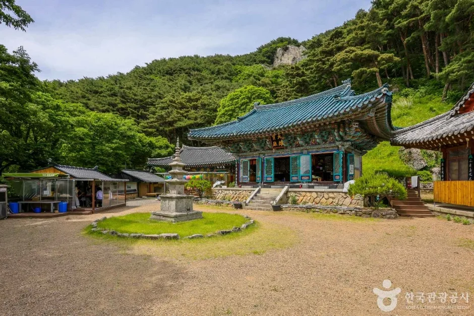 Photo: Korea Tourism Organization Tourist Photo Gallery (180 Doseong-gil, Yuga-eup, Dalseong-gun, Daegu) · Public Nuri
The cumulative ascent time across all trail sections in the area comes to 779 minutes, with descent totaling 547 minutes. Applied to the total trail length of 42.49km, that works out to an average ascent pace of about 18 minutes/km. Keep in mind this figure represents the cumulative total if you were to hike every single section in the area — it’s not the time for any one individual course up to the summit, so don’t mistake it for that. In practice, the main routes up to the summit run anywhere from about 2 hours 25 minutes one-way (Course 5) to 4 hours 24 minutes one-way (Course 1), which typically means 4 hours 50 minutes to 9 hours round-trip. The longer routes — Courses 1 through 4, each running 9.4–11.6km one-way — can be a lot to pack into a single day if you’re doing the round trip, so an early start and plenty of buffer time for the descent really matter. And if you’re thinking about tackling the whole trail network in one go, it’s safer to plan for an overnight trip rather than trying to squeeze it into a day.
Getting There (Public Transit & Parking)
Daegu’s subway system doesn’t reach the Biseulsan area directly, so the usual approach is to catch a city or intercity bus from downtown Daegu toward Yuga-eup or Okpo-eup in Dalseong-gun, or toward Gakbuk-myeon in Cheongdo-gun, then get off at a stop near your trailhead. Confirmed nearby stops include “Yongyeonsa,” “Yongyeonsa Siseoljipdanji-ap,” and “Biseulsan Recreation Forest Parking Lot” — but which stop you need depends on which course you’re starting from, so it’s worth checking the route ahead of time. The trail’s spatial data doesn’t list any registered parking lots, but based on the signage, parking areas do appear to exist in practice at places like Heoltijae parking lot, Osan parking lot, and the Biseulsan Natural Recreation Forest public lot — handy to know if you’re driving. For accurate transit schedules, real-time routing, and walking directions, I’d recommend searching KakaoMap or Naver Map for “Biseulsan,” “Yugasa,” “Yongyeonsa,” or “Biseulsan Natural Recreation Forest” rather than Google Maps, which is often unreliable for public transit and trail info within Korea.
Late April sun, forsythia everywhere, azaleas about to pop.
Season, weather, and gear
The best times to hike are spring (around April), when the azaleas (chamkkot) are in full bloom, and the cooler days of fall — though spring azalea season also draws the biggest crowds, so expect things to get crowded on the trail. Summer brings high humidity and plenty of bugs around the valley areas, so come prepared with insect repellent. In winter, snow and ice tend to build up along the summit ridge, so crampons and gaiters are a good idea. As for gear, you’ll want ankle-supporting hiking boots, plenty of water (there’s essentially nowhere to refill along the trail, so bring more than you think you need), a warm, waterproof jacket, a spare pair of socks, a headlamp, and trekking poles. If you’re tackling one of the longer routes (Courses 1 through 4), pack some snacks and emergency food too.
외국인 여행자 팁
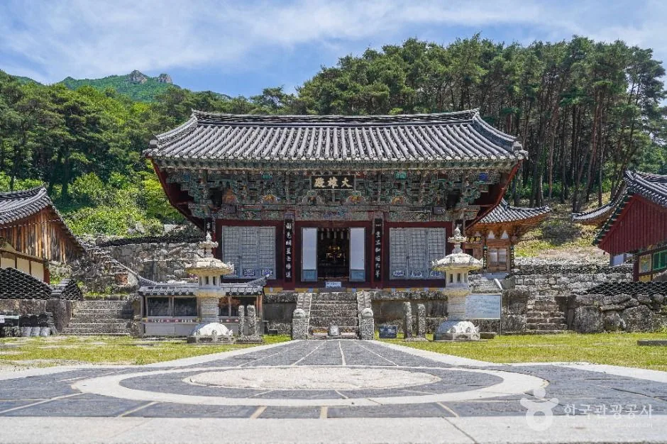 사진: 한국관광공사 관광사진 갤러리 (대구광역시 달성군 유가읍 유가사길 161) · 공공누리
In the Romanized spelling, Biseulsan is written “Biseulsan,” with the summit marked as “Cheonwangbong (천왕봉)” and the main temples and trailheads labeled “Yongyeon-sa (용연사),” “Yuga-sa (유가사),” “Daegyeon-sa (대견사),” and “Heoltijae (헐티재).” The trail data doesn’t specify any restricted access hours or entrance fees, but routes that pass through temple grounds may have their own visitor guidelines, so it’s worth checking on-site. Restrooms can be found near most trailheads — Yongyeon-sa, Yuga-sa, Heoltijae, the Yu Chi-gon Memorial Hall, and the Biseulsan Natural Recreation Forest — but there’s almost nothing in the way of restrooms or drinking water along the trail itself, so make sure you’re stocked up before you start. For navigation, KakaoMap or Naver Map will serve you far better than Google Maps here. This mountain has a lot of forks in the trail, so I’d recommend using your map app’s trail-tracking feature to avoid getting turned around on the way down. Reception can get spotty near the summit and along the ridgeline, so download offline maps ahead of time, and it’s safer to hike with company rather than solo.
Nearby Peaks Worth Knowing About
- Granite ridgelines cradling Buddhist relics, Palgongsan in Daegu — about 36km away as the crow flies
- Layer upon layer of Yeongnam Alps ridges, Munseonsan in Cheongdo/Miryang — about 38km away as the crow flies
- Icy valley and the silver grass plateau of Sajapyeong, Jaeyaksan in Miryang — about 44km away as the crow flies
📍 Granite Boulder Field Trails and Royal Azalea Groves: Mt. Biseulsan, DaeguLocation
Contact: bumseok.view [at] gmail [dot] com
Comments