Fir Forests and Yew Groves: A Ridge Walk Through Gangwon's Odaesan
Hiking · Published 7/30/2026 ·
등산로 트랙·시설 (공공데이터: 전국등산로 공간정보) · 🚩시종점 💧음수대 👁️조망점 🏠대피소 🅿️주차장 ⚠️위험 · 지도 © OpenStreetMap ⤓ GPX 다운로드
At a Glance
| Metric | Rating |
|---|---|
| Accessibility (public transit/parking) | ★☆☆☆☆ |
| Trail difficulty | ★★☆☆☆ |
| Water/springs on the mountain | ★☆☆☆☆ |
| Overnight stay needed | ★☆☆☆☆ (a day trip is plenty) |
| Seasonal difficulty — Spring | ★★★☆☆ |
| Seasonal difficulty — Summer | ★★★☆☆ |
| Seasonal difficulty — Fall | ★★☆☆☆ |
| Seasonal difficulty — Winter | ★★★★☆ |
※ Source: Korea Forest Service trail geodata · accessibility and seasonal ratings are for reference only
Overview
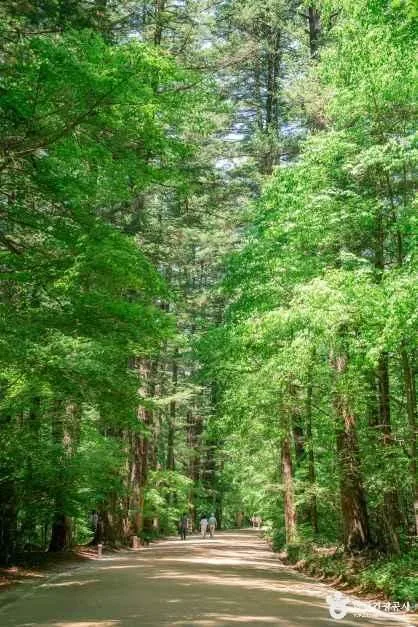 Photo: Korea Tourism Organization Tour Photo Gallery (Jinbu-myeon, Pyeongchang-gun, Gangwon Special Self-Governing Province) · KOGL Type 1
Odaesan is the centerpiece of Odaesan National Park, spread across Pyeongchang-gun, Hongcheon-gun, and Gangneung in Gangwon Special Self-Governing Province, with its highest peak, Birobong, reaching 1,555m. It’s a sprawling massif where Birobong, Sangwangbong, Duorobong, Dongdaesan, and Noinbong link together in a horseshoe-shaped ridgeline. The routes up to the summit area cover considerable distance and elevation gain, so they’ll wear you out, but the trail surfaces themselves are generally rated as manageable rather than technical. Taking the Jingogae-side route, a day hike is entirely doable, but the longer routes toward Birobong and Duorobong cover so much ground that you’ll want an early start or a generous time buffer.
Terrain and Ridgelines
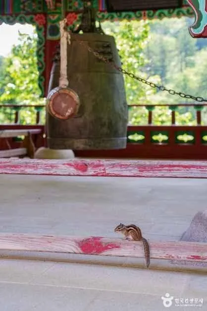 Photo: Korea Tourism Organization Photo Gallery (Jinbu-myeon, Pyeongchang-gun, Gangwon Special Self-Governing Province) · Public Nuri
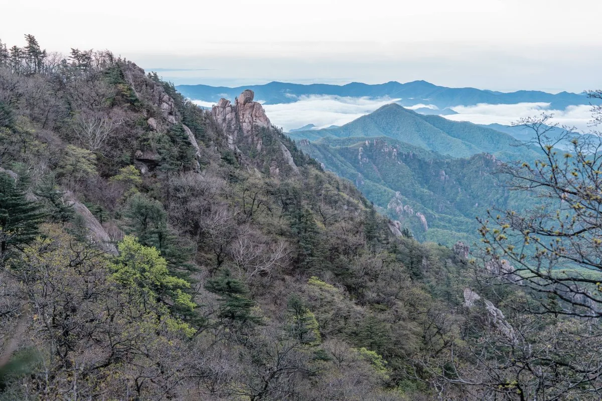
Odaesan feels less like a jagged rock mountain and more like a classic “flesh mountain” (yuksan) — gentle ridgelines wrapped around a broad, substantial mass rather than sharp granite peaks. From the summit at Birobong, the ridge sweeps around in a rough circle through Sangwangbong, Duro-bong, Duro-ryeong, Dongdaebong, and Noinbong, cradling the Woljeongsa valley and the Wootongsu spring inside it. Up along the summit ridge you start seeing the low shrubs and yew and birch stands typical of the subalpine zone — a different atmosphere from the lower-elevation mountains nearby.
Here’s what the elevation records show for the main peaks: Dongdaebong summit (1,458m), Odaesan’s Durobong (1,459m), Sangwangbong (1,525m), the area near Sangwangbong summit (1,492m, logged as a separate point), Noinbong (1,344m), the spot near Birobong’s Jeokmyeolbogung (1,200m), Gaeinsan summit (1,357m), and Gaeinsangbong summit (1,341m). Elevation figures for the same peak sometimes vary slightly depending on which point was recorded, so out on the trail it’s best to just go by whatever’s marked on the actual signposts.
Hiking Feel
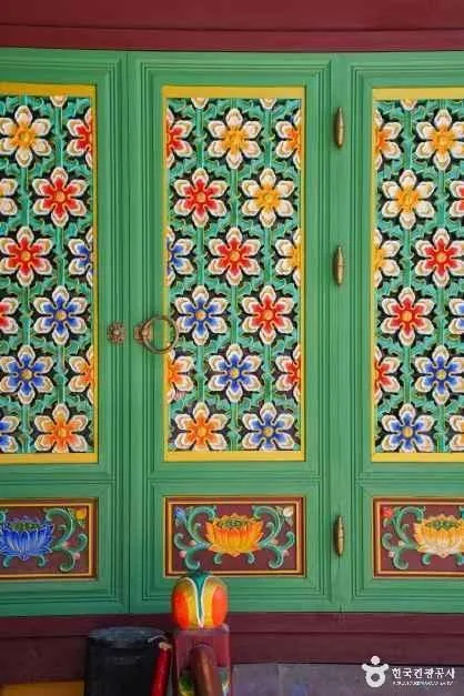 Photo: Korea Tourism Organization Photo Gallery (Jinbu-myeon, Pyeongchang-gun, Gangwon Special Self-Governing Province) · KOGL
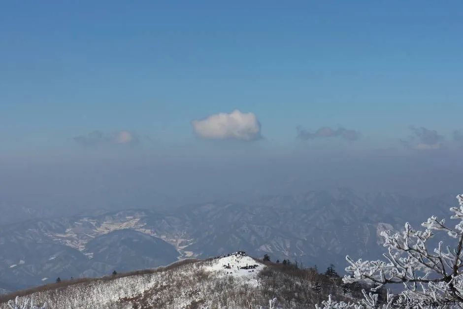
The trails on Odaesan largely wind through long stretches of dense mixed broadleaf-and-conifer forest, and the fir grove near Woljeongsa Temple in particular is widely known as the mountain’s signature woodland path. As you climb toward the summit area, the views start to open up, and around Birobong Peak you get sweeping vistas along the ridgeline. There are a few short rocky sections here and there, but overall the trail sticks to dirt paths and gentle inclines, so it’s considered a manageable climb even for hikers with average fitness. Come fall, it’s regarded as one of the best spots for autumn foliage, and in winter the summit gets dressed in snow and rime ice, making it a popular destination for winter snowscape hikes too.
Main Routes (by Trailhead)
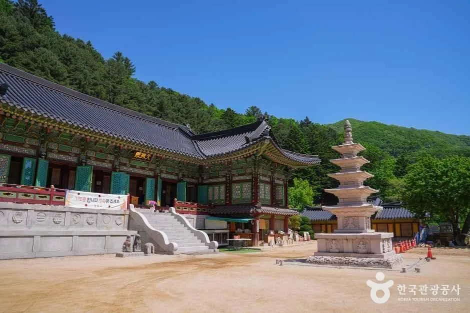 Photo: Korea Tourism Organization Photo Gallery (Jinbu-myeon, Pyeongchang-gun, Gangwon Special Self-Governing Province) · KOGL
| Route (Trailhead → Summit) | Distance | Net Elevation Change | Est. One-Way Time | Difficulty | Popularity |
|---|---|---|---|---|---|
| Birobong Entrance → Birobong Summit | 12.03km | ↕660m | approx. 4h 6m | ★★★★★ | ★★★☆☆ |
| Bukdae Mireukam → Odaesan Duro Peak | 13.39km | ↕638m | approx. 4h 25m | ★★★★★ | ★★☆☆☆ |
| Jingogae Trail Center → Jingogae Summit Rest Area | 6.51km | ↕655m | approx. 2h 43m | ★★★★☆ | ★★★★☆ |
※ Source: Korea Forest Service Trail Support Center’s Top 100 Mountains GPX data (distance, elevation, time, difficulty) · Popularity is for reference only
Course 1 — Birobong Entrance → Birobong Summit
Route: Fork → Birobong Entrance → Simple Rest Area → Viewpoint → Birobong Viewpoint → Birobong Summit → Birobong Summit Viewpoint → Helipad → Yew Tree Grove → Sangwangbong Summit → Odaesan Sangwangbong Viewpoint → Sangwonsa Temple → Jeokmyeolbogung Park Ranger Station
Getting to the trailhead: This course starts from the Sangwonsa access road, and the usual approach is to take a city bus or one of the national park’s connecting shuttles to the parking area near Sangwonsa, then walk to the trailhead from there. If you’re driving, there’s parking near Sangwonsa, though it can get crowded during peak season — so it’s worth considering public transit or the national park shuttle as a backup option.
Highlights & who it’s for: This is Odaesan’s flagship summit course, and what sets it apart is that you get to visit both Sangwonsa Temple and Jeokmyeolbogung along the way. It starts off in forest, then gradually shifts into a more alpine feel as you pass through the yew tree grove and the helipad, and once you’re up on the Birobong summit, you’re rewarded with sweeping ridge views. Both the distance and elevation gain are substantial, so this one’s best suited to hikers who are confident in their stamina and want to take in Odaesan’s signature peak along with a bit of temple culture on the way.
코스 2 — 북대미륵암 → 오대산 두로봉
Route: Bukdae Mireukam → junction → Odaesan Duro Peak → Duro Pass → helipad → birch grove near Duro Pass
Getting to the trailhead: The Bukdae Mireukam side is fairly out of the way, and public transit doesn’t get you there easily, so most people either drive themselves or join a hiking group/shuttle that’s already scoped out the route. It’s worth double-checking the actual road conditions and parking availability on a map app beforehand.
Highlights & who it’s for: This is the longest of the three courses, and the birch grove near Duro Pass is the standout feature people remember. Because it’s harder to reach, you’ll generally have a quieter hike than on the other routes — a good fit if you’re after solitude and forest that feels closer to untouched wilderness. That said, given the distance and time involved, this one suits hikers with some long-distance experience more than first-timers.
Course 3 — Jingogae Trailhead Center → Jingogae Summit Rest Area
Route: Jingogae Trailhead Center → Odaesan Jingogae Rest Area Parking Lot → Jingogae Summit Rest Area → Jingogae Restrooms → Fork → Dongdaesan Peak → Odaesan autumn foliage
Getting to the trailhead: Jingogae is generally considered one of the more accessible starting points among Odaesan’s trail options, with a nearby parking lot that makes driving in fairly convenient. If you’re relying on public transit, the usual approach is to take a bus toward Gangneung or Pyeongchang and get off near Jingogae, then walk the rest of the way — just keep in mind the buses can run infrequently, so it’s worth checking the schedule ahead of time.
Highlights and who it’s for: Of the three courses, this one’s the shortest in both distance and time, making it the least demanding option for a day hike. With the Jingogae Trailhead Center and restrooms right there, it’s a comfortable choice even for first-timers or families. You’ll also pass over Dongdaesan Peak, taking in the fall foliage along the way. If you’re looking to experience the atmosphere near Odaesan’s summit without investing a ton of time, this is probably the course I’d point you to first.
Difficulty, Terrain & Cautions
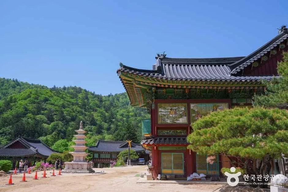 Photo: Korea Tourism Organization photo gallery (Jinbu-myeon, Pyeongchang-gun, Gangwon State) · KOGL Type 1
Here’s the registered section within the jurisdiction (by administrative district):
| Administrative section | 3.6km | Easy | - |
※ This isn’t the distance of an individual course — it’s the total length of all trails within the jurisdiction, aggregated by administrative district, and surface characteristics aren’t separately recorded (hence the ”-”).
For the summit-area courses (Birobong, Duro-bong, Jingogae), the net elevation change runs 638–660m, which is where things start to feel noticeably tougher — especially on the approach to the summit, where the grade often steepens considerably. Public data doesn’t list any hazard zones, viewpoints, or separately registered trailheads/exit points, and no shelters are on record either, so keep in mind there’s nowhere reliable to take cover if the weather turns. Dirt sections can get slick after rain, and in winter the summit area is prone to icing and rime frost, which makes things feel a lot harder — I wouldn’t head up there without crampons and proper winter gear.
Distance and Time Required
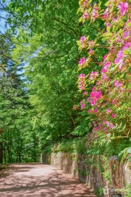 Photo: Korea Tourism Organization photo gallery (Jinbu-myeon, Pyeongchang-gun, Gangwon Special Self-Governing Province) · KOGL
Odaesan is easily doable as a day hike via the Jingogae course, and even the longer routes toward Birobong and Duro-bong can be done as a round trip in a day if you start early (this isn’t a mountain that requires an overnight stay). According to the registered trail data for the area, ascent takes 68 minutes and descent 47 minutes — but that’s not the time for any single course, it’s a cumulative figure across all the registered trails in the district. Converting that to distance (3.6km) works out to an average ascent pace of roughly 19 minutes per km. Using that pace as a rough benchmark, you’d expect the Jingogae course (6.51km) to take around 2 hours, and the Birobong–Duro-bong course (12–13km range) to take 4+ hours — and the actual GPX-based estimates (about 2 hours 43 minutes, 4 hours 6 minutes, and 4 hours 25 minutes) line up reasonably well with that. Keep in mind these are one-way estimates, though, so plan for considerably more time if you’re doing a round trip.
Getting There (Public Transit & Parking)
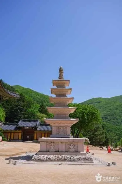 Photo: Korea Tourism Organization Photo Gallery (Jinbu-myeon, Pyeongchang-gun, Gangwon State) · KOGL
To reach the Odaesan Jingogae/Sangwonsa area, the most common approach is to take an intercity or express bus toward Gangneung or Pyeongchang (Jinbu), get off at the nearest terminal, and then transfer to a local bus or taxi to get near the trailhead. If you’re taking the KTX, getting off at Jinbu Station on the Gyeonggang Line and connecting via city bus or taxi is also a well-known option. That said, buses here run infrequently and schedules shift with the season, so it’s worth double-checking actual routes and timetables on KakaoMap or Naver Map before you go. There’s parking available at key points like Sangwonsa and Jingogae, but public data doesn’t show an official registered parking capacity for these lots, so it’s smart to plan for possible congestion during peak season.
Season, Weather & Gear
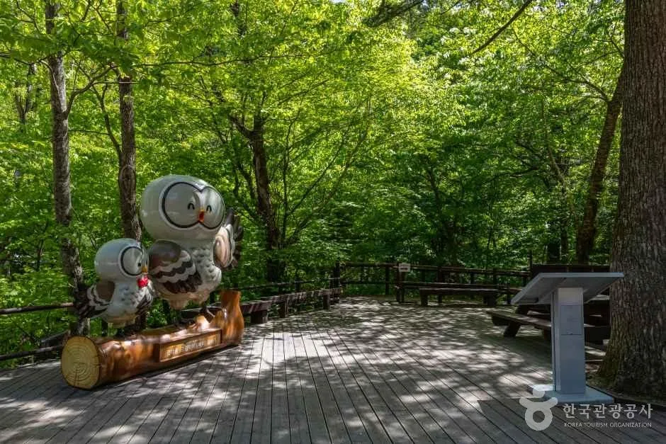 Photo: Korea Tourism Organization Tour Photo Gallery (Jinbu-myeon, Pyeongchang-gun, Gangwon Special Self-Governing Province) · KOGL Type 1
Autumn foliage season is generally considered the best time to hike Odaesan, and in spring and summer the dense forest canopy keeps the trails pleasantly shaded. That said, summer hikes call for extra caution — the valley streams run higher, and the trail surface gets slippery when it rains. In winter, snow and rime ice (sanggodae) blanket the summit area, making for a gorgeous view, but icy sections become much more common, so you’ll want crampons, cold-weather gear, and gaiters. As for basic gear, it’s worth bringing hiking boots, a change of clothes, plenty of water, emergency food, a headlamp, and rain gear — and since amenities get scarcer the higher you climb toward the summit, it pays to prepare thoroughly before you set out.
Tips for Foreign Travelers
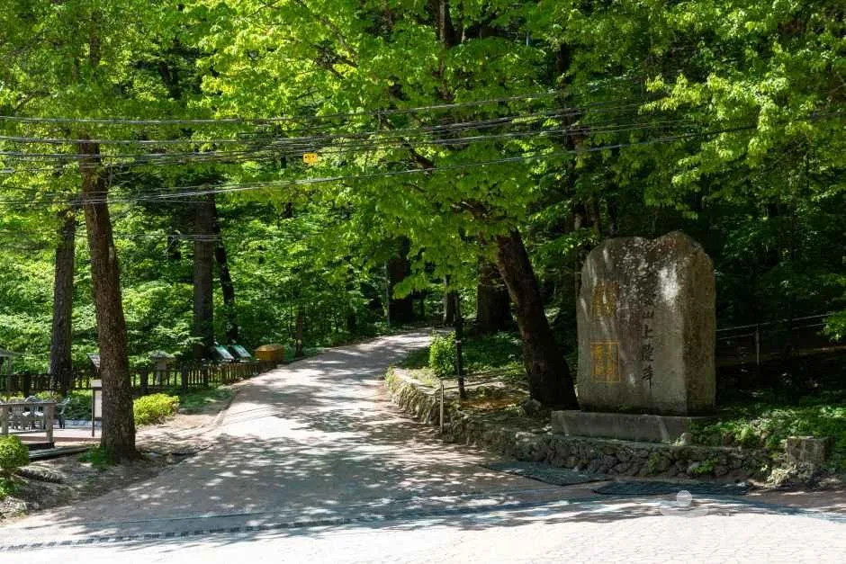 Photo: Korea Tourism Organization Photo Gallery (Jinbu-myeon, Pyeongchang-gun, Gangwon State) · KOGL
The main place names in Odaesan are romanized as Odaesan, Birobong, Sangwangbong, Durobong, Dongdaesan, Noinbong, Jingogae, and Sangwonsa Temple. Odaesan is part of the national park system, and since South Korea’s national parks have done away with entrance fees across the board, you can visit without worrying about an entry charge — though some cultural heritage areas (like the temple grounds) may still have their own admission fees worth checking ahead of time. There’s a registered restroom at the Jingogae section (Jingogae restroom), but amenities are pretty sparse around the summit area in general, so definitely bring your own water — public data doesn’t confirm any springs or drinking fountains along the way. For maps, I’d go with KakaoMap or Naver Map rather than Google Maps, since they’re more accurate for on-the-ground navigation in Korea and are handy for checking real-time trail routes and public transit connections. Since the summit area involves long stretches between points with few facilities, it’s safer to hike with company rather than solo, and to plan your descent well before sunset.
Nearby Trails Worth Considering
- Pine-lined ridge wrapping around Gulun Reservoir, Mt. Gongjak, Hongcheon — about 51 km away as the crow flies
📍 Fir Forests and Yew Groves: A Ridge Walk Through Gangwon's OdaesanLocation
Contact: bumseok.view [at] gmail [dot] com
Comments