Past Dead Trees and the Silver Grass Ridge to Cheonwangbong — Traversing Jirisan in Gyeongnam
Hiking · Published 8/2/2026 ·
등산로 트랙·시설 (공공데이터: 전국등산로 공간정보) · 🚩시종점 💧음수대 👁️조망점 🏠대피소 🅿️주차장 ⚠️위험 · 지도 © OpenStreetMap ⤓ GPX 다운로드
At a Glance
| Metric | Rating |
|---|---|
| Access (public transit / parking) | ★☆☆☆☆ |
| Course difficulty | ★★★☆☆ |
| Water on the mountain (springs) | ★☆☆☆☆ |
| Need an overnight stay? | ★☆☆☆☆ (easy day trip) |
| Seasonal difficulty – spring | ★★★☆☆ |
| Seasonal difficulty – summer | ★★★★☆ |
| Seasonal difficulty – autumn | ★★★☆☆ |
| Seasonal difficulty – winter | ★★★★★ |
※ Source: Korea Forest Service trail geospatial data · access and seasonal ratings are rough guides
Overview
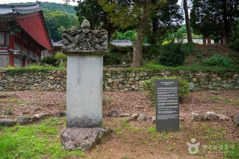 Photo: Korea Tourism Organization tourism photo gallery (Gonmyeong-myeon, Sacheon-si, Gyeongsangnam-do) · KOGL
Jirisan (智異山, Jirisan) is one of Korea’s flagship national park mountains, sprawling across Gyeongsangnam-do, Jeollanam-do, and Jeollabuk-do. Its highest peak, Cheonwangbong, is recorded somewhere between 1,938m and 1,945m depending on which source you check. It’s a massive mountain with an exceptionally long ridgeline and one summit after another, so the difficulty swings wildly — anything from a short stroll to a long-haul traverse all the way to the top. The total length of the registered trails within the park (that’s several sections added together, not a single course distance) comes to 13.93km, and the highest difficulty rating in the data is listed as “moderate.” That said, the real-world routes aiming for the summit run 7 to 15km one way with over 1,300m of net elevation gain, which takes a serious toll. Rather than trying to bag the summit and get back down in a single unprepared day trip, give yourself plenty of time and keep an eye on your condition.
The Lay of the Land
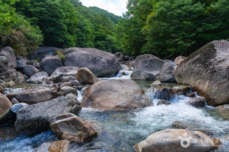 Photo: Korea Tourism Organization photo gallery (Toji-myeon, Gurye-gun, Jeonnam-Gwangju Metropolitan City) · KOGL
Jirisan is very much an earthen mountain at heart — a mix of granite and gneiss under all that soil — but the ridgeline near the summit has rocky stretches scattered through it, so you get soft, rolling ridges and rough rock spines side by side. The headline peaks are Cheonwangbong, the highest point, and Jungbong (1,889m) just west of it, and the ridge running between the two is the stretch everyone associates with the Jirisan traverse. The measured course also takes in a peak called Jeseokbong, long known for its stands of dead standing trees. The ridgeline is so long that you can’t really take the whole mountain in at a single glance, and the valleys are said to run deep with plenty of water in them.
What the Hike Feels Like
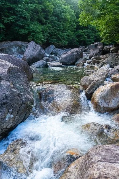 Photo: Korea Tourism Organization tourism photo gallery (Toji-myeon, Gurye-gun, Jeonnam-Gwangju Integrated Special City) · KOGL
The lower valley section runs through dense forest, and then as you climb, the trees get shorter and the views open up into subalpine terrain — that shift is the classic Jirisan experience. The Jeseokbong area near the summit is known for its striking mix of dead standing trees and silver grass, and it’s often described as the stretch where the sky seems to crack wide open. This is a mountain with a strong sense of the seasons: fresh greenery and wildflowers in spring, autumn foliage blending with the silver grass in fall, and in winter, hoarfrost and snow piling up on the upper slopes — the snowscape is impressive enough that it reportedly feels like an entirely different mountain. Overall, the trail starts out fairly gentle and then the grade ramps up sharply just before the summit, a pattern that shows up in the measured elevation data too.
Main Routes (by Trailhead)
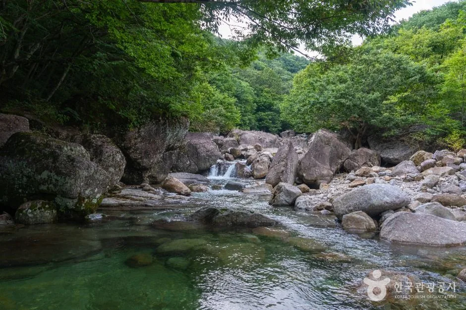 Photo: Korea Tourism Organization photo gallery (Toji-myeon, Gurye-gun, Jeonnam-Gwangju Integrated Special City) · KOGL
There are two surveyed routes heading for the summit area. Distance, net elevation gain, estimated time, and difficulty are all measured or calculated from GPX data, so I’m quoting them as-is. The popularity ratings are just a rough guide, based on public transport access and how well known each route is.
| Route (trailhead → summit) | Distance | Net elevation | Est. time (one way) | Difficulty | Popularity |
|---|---|---|---|---|---|
| Jirisan → Jeseokbong | 15.13km | ↕1304m | about 5 hr 57 min | ★★★★★ | ★★★★★ |
| Chamsaem → summit | 7.18km | ↕1410m | about 4 hr 9 min | ★★★★★ | ★★☆☆☆ |
※ Source: Korea Hiking & Trekking Support Center, 100 Famous Mountains GPX (distance, elevation, time, difficulty) · popularity is a rough guide
There are also trail sections registered locally by administrative district. These are for tallying total trail length rather than individual named hiking routes:
| Section | Distance | Difficulty | Surface |
|---|---|---|---|
| (unnamed section) | 7.86km | Easy | - |
| Donji-ri section | 3.2km | Easy/Moderate | - |
| Geumpyeong-ri section | 2.08km | Easy/Moderate | - |
| Godongsan section | 0.79km | Easy | - |
Course 1 — Jirisan (Jungsan-ri) → Jeseokbong
Route: Jirisan (trailhead) → restroom → Jungsan-ri Visitor Center → fork in the trail → Kalbawi Rock → stone steps → deck stairs → distance marker → Mangbawi Rock → viewpoint → shelter → Beopgyesa Temple → lookout → rest area → Gaeseonmun Gate
Getting to the trailhead: Since the signage mentions “Jungsan-ri Visitor Center,” this looks like a course starting from the Jungsan-ri district of Jirisan National Park. Jungsan-ri sits in Sicheon-myeon, Sancheong-gun, Gyeongsangnam-do, and the usual approach — the one you’ll see recommended most often — is an intercity or rural bus bound for Jungsan-ri from Jinju Intercity Bus Terminal or another nearby city. If you’re driving, the public lot near the Jungsan-ri Visitor Support Center is the standard choice. That said, the public data for this particular point lists zero bus stops and zero parking lots in the area, so it’s worth double-checking the latest transit and parking info with the local government or the national park’s official channels before you go.
What it’s like, and who it’s for: The early stretch follows a forest path alongside a valley stream, then gives way to a well-maintained section of built infrastructure — Kalbawi Rock, stone steps, deck stairs. Past Beopgyesa Temple the elevation climbs sharply and the views start opening up. The stand of dead, weathered trees near Jeseokbong is a landscape you won’t find anywhere else on this route. Given the distance and the elevation gain involved, this is a long-haul course best suited to hikers who trust their fitness, or to anyone planning a full Jirisan traverse.
Course 2 — Chamsaem → Summit
Waypoints: Chamsaem (no additional trail-marker data beyond the point near the trailhead)
Getting to the trailhead: The name “Chamsaem” is a common one around springs and valleys on the slopes of Jirisan, and this dataset doesn’t pin down the exact administrative district or the public transit situation. It appears to be one of the valley trailheads on the southern and western faces of Jirisan, so before you go, search “참샘” on KakaoMap or Naver Map and check the actual access road along with nearby transit and parking options.
What it’s like / who it suits: At 7.18km it’s shorter than Course 1, yet the net elevation gain is actually larger at 1,410m — which makes it a steep-and-fast course that racks up height in a short distance. It feels like uphill from the very start, so it’s better suited to hikers who want a proper climb rather than a gentle stroll, or to experienced walkers looking to reach summit-level altitude in a short window. Since no trail-marker data turned up beyond the Chamsaem point, it’s safer to bring the national park’s official map and follow the on-trail signs as you go.
Difficulty, Trail Surface, and Cautions
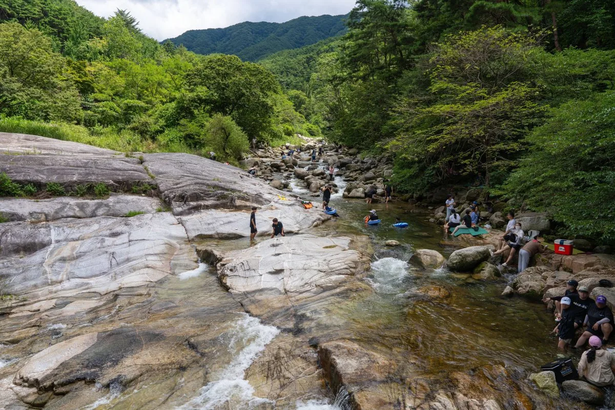 Photo: Korea Tourism Organization tourism photo gallery (Jucheon-myeon, Namwon-si, Jeonbuk State) · Korea Open Government License
The data classifies the highest difficulty rating among the trails in this area as “moderate,” but both of the surveyed courses heading toward the summit area are rated at the top difficulty grade (★★★★★), so expect these stretches to take a real toll on your legs. Surface material isn’t recorded separately in this dataset, but since the signage on Course 1 mentions “stone steps, deck stairs, and Kalbawi Rock,” it looks like a mix of maintained stairways, bare rock, and boulder fields. Sections like these get slick in the rain and often ice over in winter, so extra caution is warranted. As for facilities, the public data lists zero hazard zones, zero viewpoints, and zero drinking fountains as of this dataset — meaning there are essentially no officially registered amenities along the courses. That said, places mentioned on the signage, such as Beopgyesa Temple and the shelter, do exist on the ground, so it’s worth planning your water and rest stops thoroughly before you set out.
Distance and Time
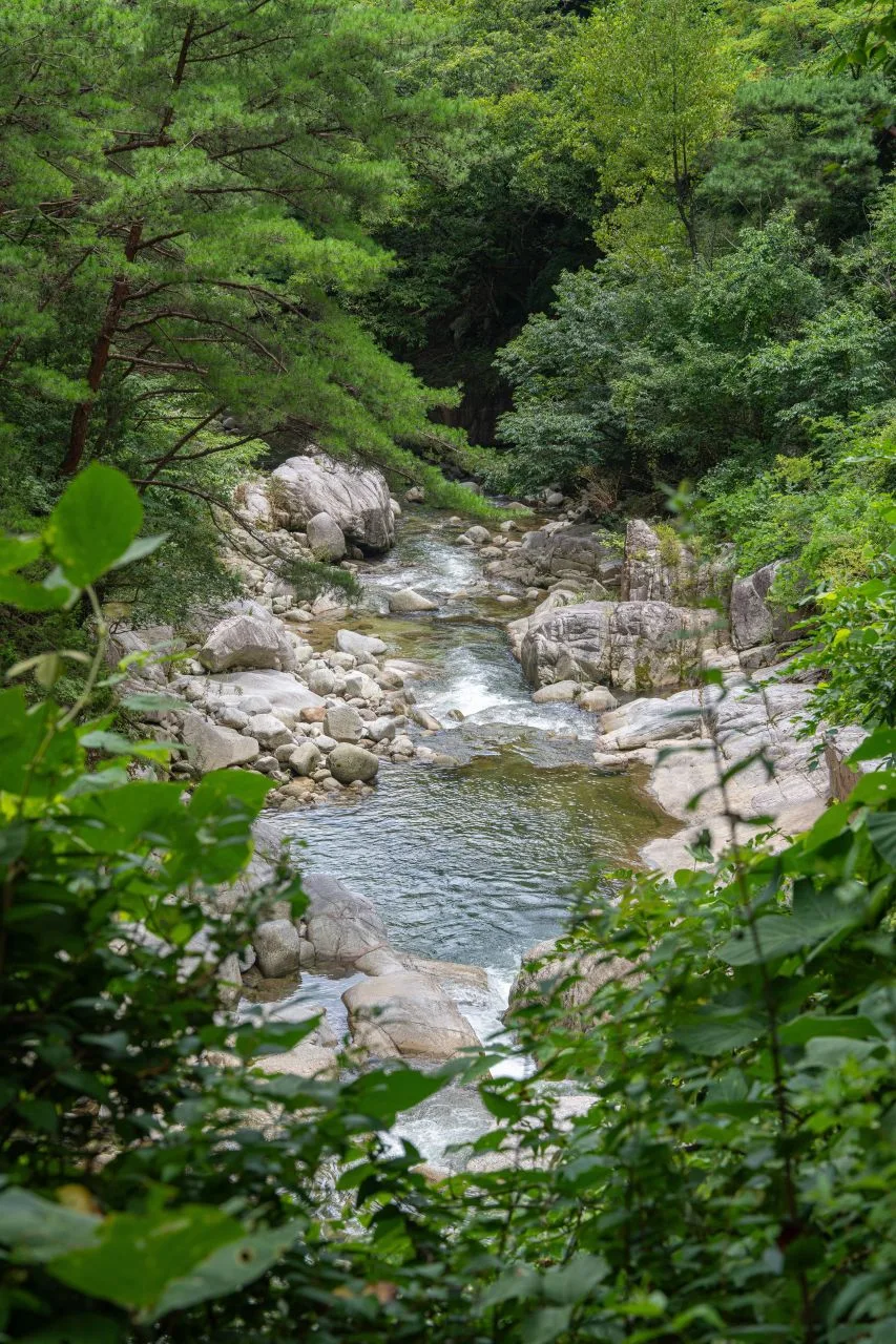 Photo: Korea Tourism Organization tourism photo gallery (Jucheon-myeon, Namwon-si, Jeonbuk State) · KOGL
The cumulative figures across all sections within the district come out to 293 minutes going up and 202 minutes coming down. Divide that by the total length of 13.93 km and you get an average ascent pace of roughly 21 minutes per kilometer. Keep in mind, though, that this is a running total across several different sections in the district — it isn’t the time for any one specific course. Looking at the actual measured routes near the summit, the Jirisan (Jungsan-ri) → Jeseokbong course works out to about 5 hours 57 minutes one way, and the Chamsaem → summit course to about 4 hours 9 minutes one way. Round trip, that’s somewhere around 12 hours and 8 hours respectively — a very long day out either way. The data lists zero shelters, which technically classifies this as a day hike, but in practice you’ll want a pre-dawn start and plenty of buffer for the descent. If your fitness or your schedule won’t stretch that far, don’t force the round trip — hike part of the course instead, or plan on staying overnight or camping.
Getting There (Public Transit & Parking)
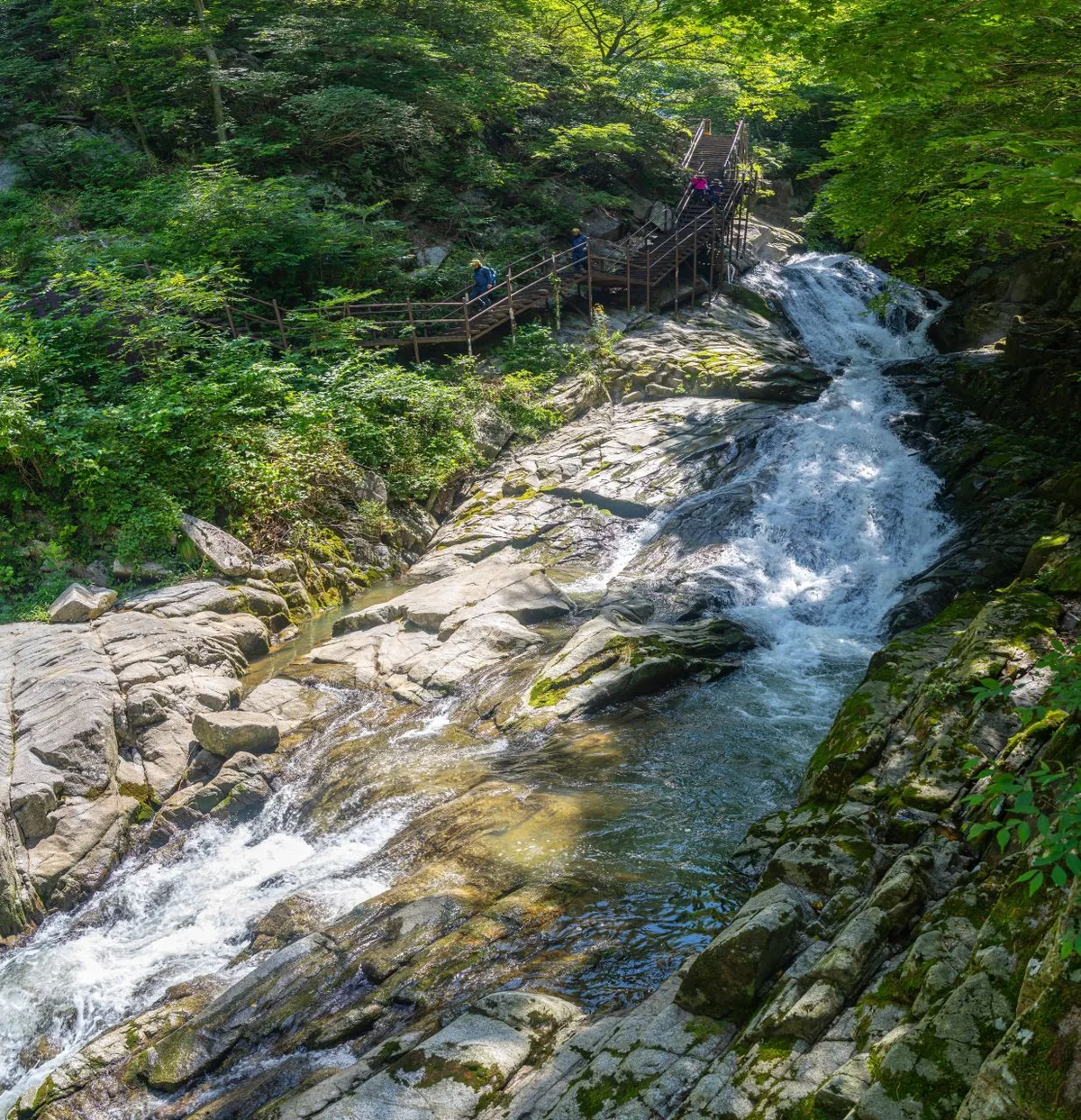 Photo: Korea Tourism Organization photo gallery (Jucheon-myeon, Namwon-si, Jeonbuk State) · KOGL
If you’re heading for the Jungsan-ri area of Jirisan, the usual approach is to get to a nearby hub city like Jinju and transfer to a bus bound for Jungsan-ri. From Seoul and the greater capital region, most people take the KTX or an express bus to Jinju and switch to a local bus from there. As for the Chamsaem trailhead, I couldn’t confirm exact public transit routes in the materials I had for this piece, so please check the actual roads and bus lines on KakaoMap or Naver Map before you go. Google Maps is often unreliable for walking and transit directions in Korea, so I’d recommend using the KakaoMap or Naver Map apps once you’re on the ground. If you’re driving, the national park’s official lot or a nearby village public lot is the standard choice — but they fill up fast on weekends and in peak season, so either take public transit or arrive early.
Season, Weather, and Gear
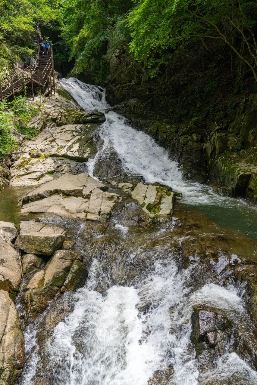 Photo: Korea Tourism Organization photo gallery (Jucheon-myeon, Namwon-si, Jeonbuk State) · KOGL
Spring (April–May) and autumn (October–November) are generally considered the easiest seasons on Jirisan, both for temperature and for visibility. Summer brings the rainy season and higher temperatures, which drain your energy fast, and there’s a real risk of lightning and torrential downpours — so checking the forecast beforehand matters. Winter regularly brings ice on the upper slopes, strong winds, and sudden plunges in wind chill, which makes crampons, gaiters, and a windproof shell essential; a winter summit attempt is known to be particularly tough on beginners. Whatever the season, pack hiking boots, a change of clothes, plenty of water and trail snacks, a headlamp, and a windproof, waterproof jacket. And since the data lists zero water stations on this route, you absolutely have to bring your own water.
Tips for International Visitors
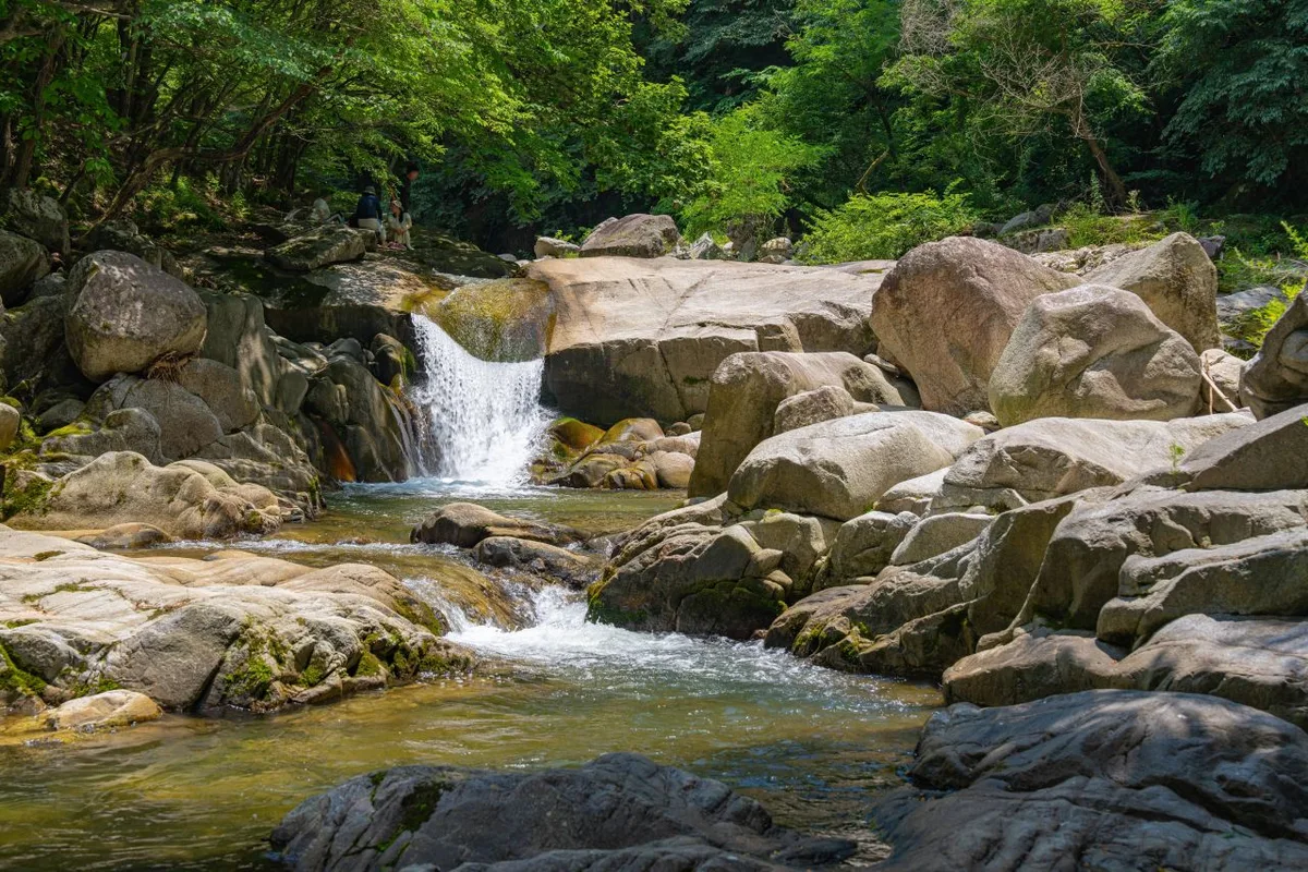 Photo: Korea Tourism Organization photo gallery (Jucheon-myeon, Namwon-si, Jeonbuk State) · KOGL
In romanized form, the mountain is written Jirisan, with its highest peak as Cheonwangbong, plus Jungbong and Jeseokbong. Hiking the trails inside national park boundaries generally doesn’t cost anything, but reservation-only sections and other seasonal restrictions do come up, so it’s worth checking the Korea National Park Service website for the latest notices before you go. Course 1’s trail markers do mention a restroom, which suggests there’s one somewhere near the trailhead, but there’s no confirmed data on water fountains or restrooms anywhere else along the route — so bring your own drinking water and personal hygiene supplies without fail. For navigation, KakaoMap or Naver Map will serve you far better than Google Maps, and both have English interfaces. Jirisan has very long ridgelines and notoriously changeable weather, so it’s safer to hike with a companion rather than alone, and to build plenty of slack into your descent time so you’re not caught out after dark.
Other Peaks Nearby
- Hwangmaesan in Hapcheon and Sancheong, a rolling ridge of royal azaleas and silver grass — about 30 km as the crow flies
- The Hwangseoksan traverse in Geochang, Gyeongnam, with its soaring knife-edge rock ridges — about 43 km as the crow flies
📍 Past Dead Trees and the Silver Grass Ridge to Cheonwangbong — Traversing Jirisan in GyeongnamLocation
Contact: bumseok.view [at] gmail [dot] com
Related posts
-

Ridge After Ridge in the Yeongnam Alps: Unmunsan in Cheongdo and Miryang
-
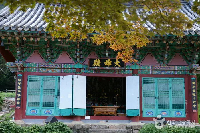
Cheontaesan in Chungbuk: Home to Turtle Rock Ridge and Yeongguksa Temple
-
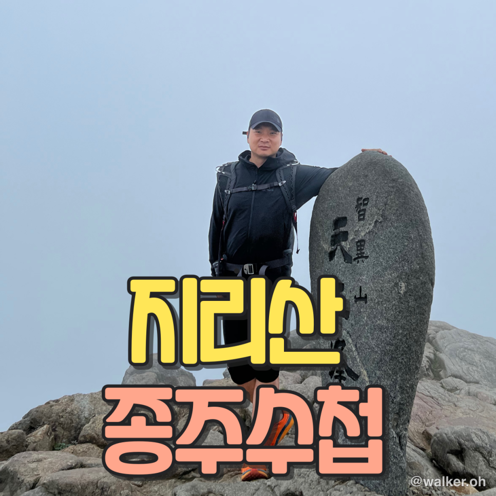
Jirisan Traverse Passbook: Collecting Shelter Stamps from Hwaeomsa to Cheonwangbong
-
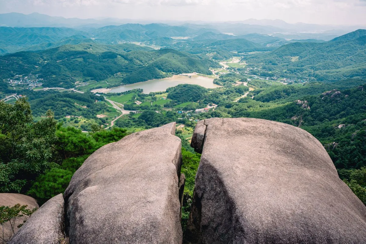
Ridgeline Meadows of Royal Azalea and Silver Grass: Hwangmaesan in Hapcheon and Sancheong
Comments