Unaknbawi and Byeongpungbawi Rock Ridges: Ungaksan in Pocheon, Gyeonggi
Hiking · Published 7/24/2026 ·
등산로 트랙·시설 (공공데이터: 전국등산로 공간정보) · 🚩시종점 💧음수대 👁️조망점 🏠대피소 🅿️주차장 ⚠️위험 · 지도 © OpenStreetMap ⤓ GPX 다운로드
At a Glance
| Metric | Rating |
|---|---|
| Accessibility (public transit/parking) | ★★☆☆☆ |
| Trail difficulty | ★★★☆☆ |
| Water/springs on the mountain | ★☆☆☆☆ |
| Overnight stay needed | ★☆☆☆☆ (a day trip is plenty) |
| Seasonal difficulty - Spring | ★★★☆☆ |
| Seasonal difficulty - Summer | ★★★★☆ |
| Seasonal difficulty - Fall | ★★☆☆☆ |
| Seasonal difficulty - Winter | ★★★★★ |
※ Source: Korea Forest Service trail spatial data · accessibility and seasonal ratings are for reference only
Overview
Unaksan (雲岳山) rises along the border between Hwahyeon-myeon in Pocheon and Ha-myeon in Gapyeong, both in Gyeonggi Province. Its summit elevation is listed anywhere around 935m depending on the source, though GPS tracks put the true high point at 948m. It’s long been ranked among the “Five Peaks of Gyeonggi” alongside Hwaaksan, Gwanaksan, Gamaksan, and Songaksan, and its jagged rock ridges and dramatic outcrops have earned it the nickname “Sogeumgang of Gyeonggi.” Overall it’s a mountain that demands stamina and a careful footing — most of the route runs along short, steep rocky ridgelines — but the whole course, whether you’re doing an out-and-back or a full traverse, is compact enough to knock out comfortably in a single day.
산세와 지형
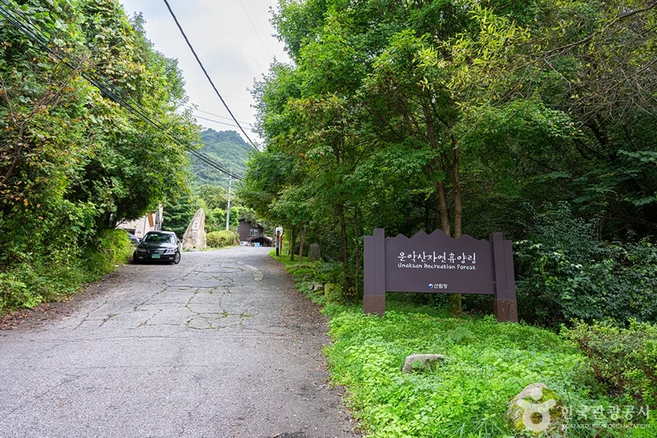 Photo: Korea Tourism Organization photo gallery (39 Hwadong-ro 184beon-gil, Hwahyeon-myeon, Pocheon-si, Gyeonggi-do) · KOGL Type 1
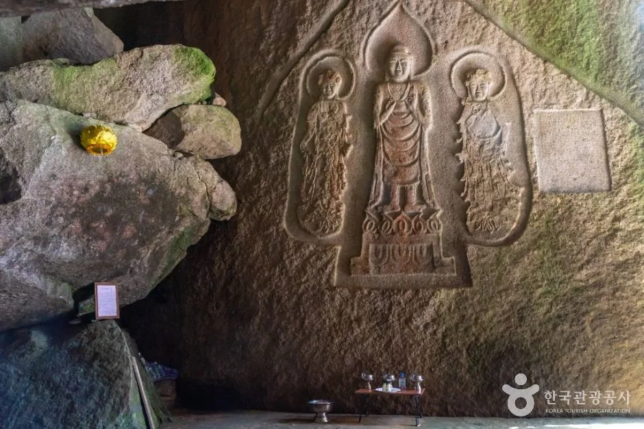
Unaksan isn’t the kind of gentle, soil-covered mountain you can stroll up without a thought — it’s a rock mountain through and through, one where the granite really calls the shots. Rather than a single blunt summit, it’s made up of several rocky peaks strung along a ridgeline: Seobong (West Peak), Dongbong (East Peak, the actual summit), Birobong, and more. Just going by the public data on record, the named peaks include Unaksan Seobong (962m), Dongbong (934m), Unaksan Birobong (937.5m, also listed as 929m), Seobong (918m), Agibong (769m), Achisan (513m), and Wontongsan (590m). Of these, the rocky ridge connecting the summit area around Dongbong to Seobong is the real highlight of hiking here, lined with named rock formations like Nunsseop-bawi (Eyebrow Rock), Byeongpung-bawi (Folding-Screen Rock), and Seon-bawi (Standing Rock). On the southern slope sits Hyeondeungsa Temple, said to have been founded back in the Silla dynasty — giving the mountain a landscape where valleys, temple, and craggy peaks all come together.
The Feel of the Hike
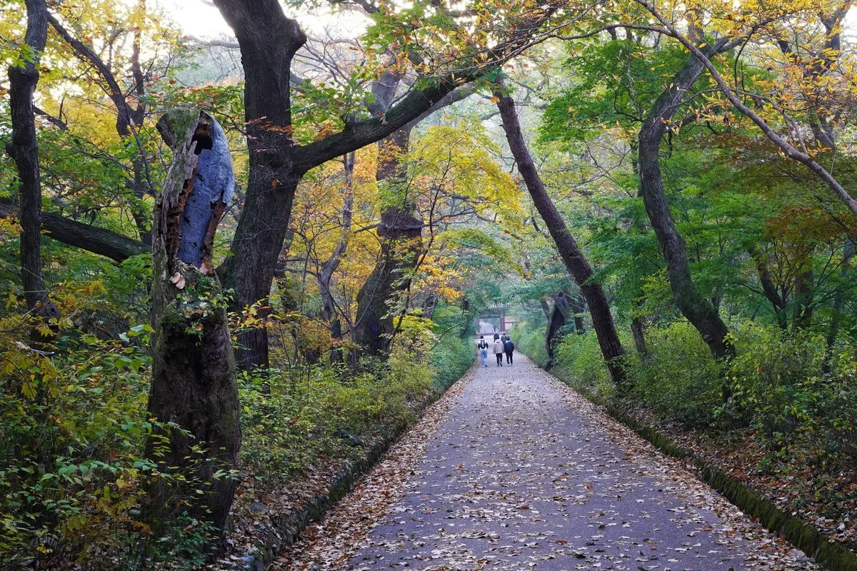
Unaksan hits you with steep staircases and rock sections right from the trailhead, so it feels tougher than expected almost from the first step. Once you’re up on the ridge, the view opens up on both sides and the mountain ranges around Pocheon and Gapyeong spread out in front of you — and around the Byeongpungbawi (Folding Screen Rock) lookout and Seobong peak especially, you get that thrilling, slightly nerve-wracking feeling of walking along an exposed rock ridge. The valley section (toward Hyeondeungsa Temple) stays relatively cool thanks to the shade and the sound of water in summer, while the ridge sections are mostly wide open to direct sunlight — so how the hike feels can shift a lot depending on the season. It’s known as a great photo spot too: azaleas and fresh spring greenery in spring, and autumn foliage against the rocky ridgeline in fall. In winter, thin ice often forms on the rock ridges, which makes the whole hike feel noticeably more serious.
Main Routes (by Trailhead)
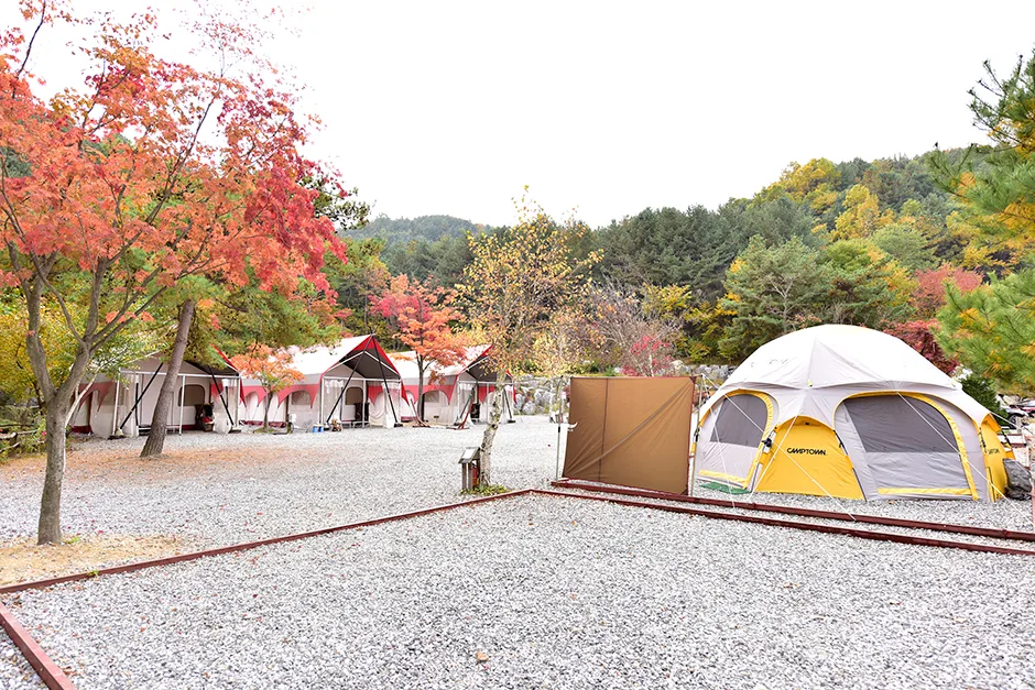 Photo: Korea Tourism Organization Photo Gallery (55-19 Unaktcheonggye-ro 333beon-gil, Jojong-myeon, Gapyeong-gun, Gyeonggi-do) · Public Nuri
| Route (Trailhead → Summit) | Distance | Elevation Gain | Est. Time (one-way) | Difficulty | Popularity |
|---|---|---|---|---|---|
| Nochae Pass → Unaksan West Peak | 10.08km | ↕681m | ~3h 39m | ★★★★★ | ★★☆☆☆ |
| Hyeondeungsa Entrance → Byeongpungbawi Viewpoint | 6.24km | ↕742m | ~2h 48m | ★★★★★ | ★★★★★ |
| Trail Entrance → Aegibong | 6.62km | ↕687m | ~2h 48m | ★★★★☆ | ★★★★☆ |
| Achisan → Summit | 8.28km | ↕638m | ~3h 8m | ★★★★★ | ★★☆☆☆ |
| Trailhead → Agibong | 10.41km | ↕658m | ~3h 42m | ★★★★★ | ★★☆☆☆ |
※ Source: Korea Forest Service Trekking Support Center’s Top 100 Mountains GPX data (distance, elevation, time, difficulty) · popularity figures are for reference only
The trail sections registered under the local administrative district are listed below. Note that these aren’t individual routes — they’re totals aggregated at the administrative-dong level.
| Section (by administrative dong) | Distance | Difficulty | Surface |
|---|---|---|---|
| (unnamed section) | 11.76km | Easy | - |
| Sinsang-ri section | 0.66km | Medium | - |
| Hapan-ri section | 0.47km | Easy | - |
Course 1 — Nochae Pass → Unaksan Seobong (West Peak)
Waypoints: Nochae Pass → rest area → Wontongsan → wild boar tracks → slippery section, watch your step → fork in the trail → fallen tree → Hanbuk Jeongmaek ridge marker → natural rest spot → rock face → dead tree and pine → Seonbawi (Standing Rock) → wild chrysanthemums → Unaksan Seobong → ridge viewpoint
Getting to the trailhead: Nochae Pass is a bit of a pain to reach by public transit. Most people take a city bus toward Pocheon or Gapyeong to the nearest stop and walk in from there. There’s no dedicated large parking lot that I could confirm, so you’ll likely end up parking on the shoulder or in a nearby empty lot.
What it’s like, who it’s for: Running through Wontongsan on the way to Seobong, this is the longest of the five courses and has the most generous ridge stretches. It’s a good fit if you’re after a longer, traverse-style hike with a mix of easy and demanding sections, rather than something short and steeply rocky. Wild boar tracks and a slippery spot or two turned up as actual waypoints along the way, so I’d recommend this one to hikers who already have some trail experience under their belt.
Course 2 — Hyeondeungsa Trailhead → Byeongpungbawi Overlook
Route: Unaksan Hapan-ri → public restroom → Hyeondeungsa trailhead → fork → Yugyeong Naengmyeon → Hyeondeungsa tourist info center → simple restroom → Nunssseopbawi (Eyebrow Rock) → shelter by the signpost → Byeongpungbawi Overlook → Unaksan Birobong (937.5m) → shelter below the summit → Hyeondeungsa spring → Hyeondeungsa restroom → Hyeondeungsa simple restroom
Getting to the trailhead: The Hyeondeungsa trailhead, located along the Hapan-ri section, offers the best public transit access of any Unaksan course. Buses heading toward Pocheon or Gapyeong stop near the entrance to Hyeondeungsa, and from there you walk in along the temple access road. Parking is reportedly available near the Hyeondeungsa tourist information center.
Highlights & who it’s for: With restrooms and water sources marked all along the route (public restroom, simple restrooms, and the spring and restroom at Hyeondeungsa itself), this is the best-equipped of all five courses when it comes to amenities. You’ll pass both Nunsseopbawi and the Byeongpungbawi Overlook, packing Unaksan’s signature rocky ridge scenery into a short 6.24km stretch — which makes it a great pick for first-time visitors or anyone hiking with photography in mind. That said, the elevation gain (742m) is the steepest of all five courses relative to its distance, so be ready for a tough climb right from the start.
Course 3 — Trailhead → Aegibong Peak
Waypoints: Unaksan Rest Area Bus Stop → Unaksan Campground → Unaksan Parking Lot → Unaksan Rest Area → Trail Info Board → Model Restroom → Trailhead → Cafés and Restaurants → Fork in the Trail → Unaksan Recreation Forest → Coffee Shop → National Grid Reference Marker → Outdoor Toilet → Unaksa Temple → Rocky Ridge Section
Getting to the trailhead: As the name suggests, “Unaksan Rest Area Bus Stop” is one of the listed waypoints, so this course is directly accessible right from the bus stop. Unaksan Parking Lot is also confirmed as a waypoint, making this one of the most convenient starting points for drivers too.
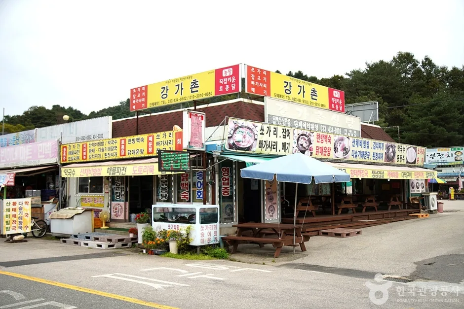
Highlights and who it’s for: Since the route passes through a rest area, campground, and restaurant strip before reaching the actual trailhead, the start of the hike blends naturally into the commercial area, and sanitation facilities like the model restroom and outdoor toilet are well maintained. This is the only one of the five courses rated ★★★★☆, making it relatively less demanding and a good fit for families or anyone just getting into hiking Unaksan for the first time. That said, the rocky ridge section toward the back still requires some hands-on scrambling, just like the other courses.
Course 4 — Achisan → Summit
Waypoints: Achisan → roadside parking → fork in the trail → landslide risk area → maiden silverweed → point where it meets the Hanbuk Jeongmaek ridgeline → chives blooming wild → view of Suwonsan → view of Unaksan → obedient plant flowers → single-log bridge → view of Agibong → hazard area → view of Gwimokbong, Yeoninsan, and Myeongjisan → view of Chalbongsan ridge
Getting to the trailhead: There’s no dedicated large parking lot for the Achisan (513m) approach — the survey data actually lists “roadside parking” as a waypoint, which tells you the norm here is just finding a spot to pull over along the road. If you’re relying on public transit, it’s worth double-checking how to connect on foot from the nearest bus stop before you head out.
Highlights & who it’s for: This course flags two spots right in its waypoints — a “landslide risk area” and a “hazard area” — so extra caution is warranted right after rain or during icy stretches. On the upside, you get a nice run of ridge views one after another: Gwimokbong, Yeoninsan, Myeongjisan, and Chalbongsan, plus lookout points for Suwonsan and Unaksan — a real draw if you’re the type who hikes for the ridgeline views. Wildflowers (maiden silverweed, wild chives, obedient plant) are also logged along the route, so it’s a good pick if you want to walk while taking in the seasonal blooms too.
Course 5 — Trailhead → Agibong Peak
Waypoints: Sinsang Bridge → Unaksan → Munhwa Garden → Kkotboda → Parking Available → Fork → Parking Lot → Parking Space → Trailhead → Open-Lot Parking → Rock and Pine → Rest Spot → View of Baekho Ridge → Dolmen Rock → Path Retraced
Trailhead access: Part of the Sinsang-ri section, this course starts from Sinsang Bridge. Given how often waypoints like “Parking Available,” “Parking Lot,” and “Parking Space” show up along the way, it looks like a trailhead that’s fairly easy to reach by car. If you’re coming by public transit, it’s worth checking ahead of time how far the walk is from the nearest stop to Sinsang Bridge.
Highlights and who it suits: At 10.41 km, this is the longest of the five courses, climbing to Agibong Peak (769m) past distinctive landmarks like the view over Baekho Ridge and the Dolmen Rock. The net elevation gain of 658m is middle-of-the-pack among the five courses, but the sheer distance means you’ll need to pace yourself. It’s a good fit for hikers who can set aside a full day for the trail.
Difficulty, Terrain & Cautions
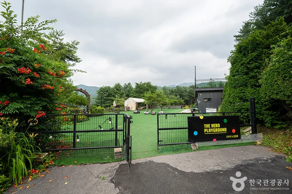 Photo: Korea Tourism Organization Tourist Photo Gallery (201-65 Bonghwa-ro, Hwahyeon-myeon, Pocheon-si, Gyeonggi-do) · KOGL Type 1
According to the trail-network spatial data for the area, Unaksan’s highest difficulty rating is officially listed as “medium.” But five summit-area courses I mapped from actual GPX tracks mostly come in at ★★★★☆ or higher, so the trail feels noticeably tougher underfoot than the official rating suggests. There’s no separate surface-condition data broken down by course, but the names of the waypoints I logged along the way — Seobong, Byeongpungbawi (Folding-Screen Rock), Nunsseopbawi (Eyebrow Rock) — make it clear enough that rock ridges are the dominant terrain here. Course 4 in particular (Achisan → summit) has two flagged hazard points, a “landslide risk area” and a “danger zone,” which appear to account for both of the hazard points registered for all of Unaksan (one hazard notice, one hazard warning). Right after rain the rock gets slick, and in winter the shaded ridge sections ice up often, so it’s worth slowing down and keeping three points of contact through this stretch. There’s no dedicated viewpoint layer in the data, but going by the waypoints I recorded, there are plenty of scenic spots along the way — the Byeongpungbawi overlook, ridge-line views, and sightlines toward Suwonsan and Unaksan itself.
Distance and Estimated Time
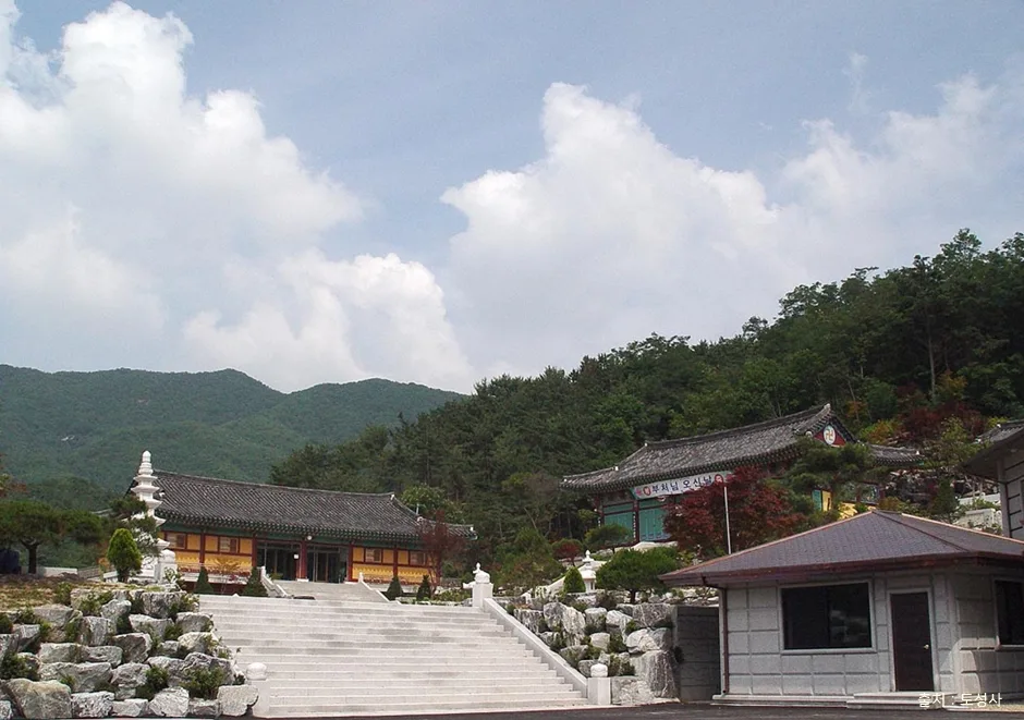 Photo: Korea Tourism Organization Photo Gallery (548-47 Hwadong-ro, Hwahyeon-myeon, Pocheon-si, Gyeonggi-do) · KOGL
Mt. Unaksan’s trails add up to 12.89 km across the whole area (a combined figure spanning multiple routes), and the 258-minute ascent / 180-minute descent figures are likewise cumulative totals for all the trails in the district — not the time for any single course. Divide that cumulative total by the distance and you get an average ascending pace of roughly 20 minutes per kilometer, which is far slower than walking on flat ground — a good illustration of just how rocky and steep Unaksan’s terrain really is. Looking at actual GPX-tracked times for the main routes, one-way hikes range anywhere from about 2 hours 48 minutes (the Hyeondeungsa entrance / trailhead group of routes) to 3 hours 42 minutes (trailhead → Agi-bong peak), so for a round trip you should generally plan on somewhere between 5 and 7 hours. There are no registered shelters anywhere on the mountain, but that’s fine — all five courses are easily doable as a same-day round-trip hike, and unless you’re doing a full traverse, there’s no need to stay overnight.
Getting There (Transit & Parking)
 Photo: Korea Tourism Organization Photo Gallery (515 Bonghwa-ro, Hwahyeon-myeon, Pocheon, Gyeonggi-do) · KOGL
Unaksan sits right on the border between Pocheon and Gapyeong in Gyeonggi Province, so if you’re coming from Seoul, driving is honestly a lot more convenient than public transit. That said, if you’re taking the bus, the usual route is to catch an intercity or local bus bound for Pocheon or Gapyeong from Dong Seoul Bus Terminal or the Cheongnyangni area, then get off at a stop like Unaksan-ipgu, Unaksan·Hyeondeungsa-ipgu, Pocheon·Unaksan-ipgu, or Daewonsa, and walk the rest of the way to the trailhead. Of these, the “Unaksan·Hyeondeungsa-ipgu” stop connects directly to Course 2 (Hyeondeungsa entrance → Byeongpungbawi Overlook). There doesn’t seem to be an officially registered parking lot in the area, so you’ll most likely end up using one of the small private parking spots near Hyeondeungsa Temple or the Unaksan rest area. For exact bus schedules, transfer routes, and real-time traffic, it’s best to check KakaoMap or Naver Map by searching “Unaksan” or the specific stop name. If you’re a foreign traveler, keep in mind that Google Maps is often unreliable for Korean public transit and hiking trail info — you’re much better off using one of those two apps instead.
Season, Weather & Gear
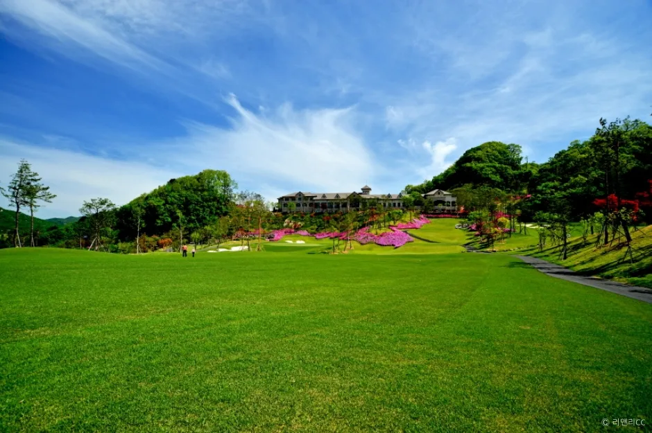 Photo: Korea Tourism Organization Tourist Photo Gallery (702-24 Unak-cheonggye-ro, Jojong-myeon, Gapyeong-gun, Gyeonggi-do) · KOGL Type 1
Fall is hands-down the best season for Unaksan — you get the foliage plus cool enough temps to make climbing the rock ridges actually pleasant. Spring brings crowds when the azaleas hit full bloom, but watch out for wildfire risk given how dry things get. Summer means heat, humidity, and sudden downpours that can turn the rocky sections slick, so it’s worth packing a rain jacket and a change of clothes. Winter is where things get serious: the shaded ridges and rock sections ice up frequently, cranking up the difficulty on all five routes — crampons, gaiters, and warm gloves become essentially non-negotiable. Regardless of season, I’d recommend always bringing hiking boots with solid grip (you’ll need it on the rock ridges), trekking poles, plenty of water (there are no registered water fountains on the mountain, so plan ahead), gloves, and a headlamp in case your descent runs late.
Foreign Traveler Tips
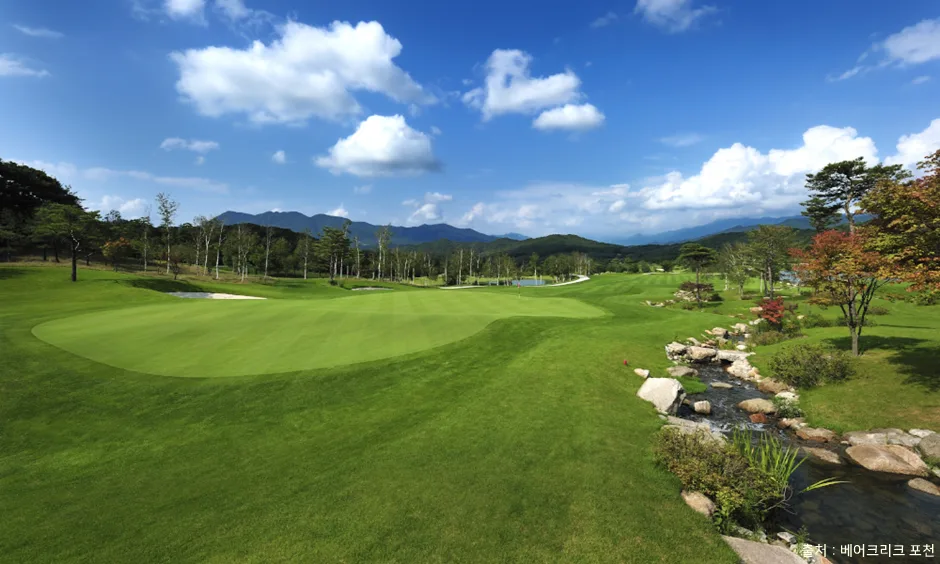 Photo: Korea Tourism Organization photo gallery (35 Dalindong-ro, Hwahyeon-myeon, Pocheon-si, Gyeonggi-do) · Korea Open Government License
Mount Unak appears in English as “Mount Unak” or “Unaksan,” and you can find the summit area on map apps by searching “Unaksan Peak” or “Dongbong (동봉).” One of the main trailheads, Hyeondeungsa Temple entrance, can be searched as “Hyeondeungsa Temple entrance.” Since this isn’t a national park but a trail managed by the Korea Forest Service, there’s no entry permit or fee required — though if your route takes you through the Hyeondeungsa temple grounds, it’s good etiquette to be respectful as you pass through. Restrooms — public toilets, portable units, and traditional temple outhouses (haeuso) — are fairly plentiful along Course 2 (the Hyeondeungsa side), but there’s nothing along the rest of the ridge, so it’s best to use the facilities at the trailhead before you set off. There are no registered drinking-water points on the mountain (zero water stations), so bring enough water for the whole hike. A spring near Hyeondeungsa does show up on the measured route, but it’s safer to check on-site whether it’s actually flowing before counting on it. As mentioned earlier, KakaoMap or Naver Map will serve you far better than Google Maps here, both for general navigation and for tracking your real-time position on the trail. There’s a lot of rocky ridge terrain, so it’s best to skip the hike in rain or icy conditions, or at minimum carry proper gear like crampons. At the two spots flagged as hazardous (near Course 4), make sure to follow the warnings on the posted signs. Cell signal is generally solid across most of the ridge, but since this isn’t a national park, it’s still worth sharing your hiking plan and expected descent time with a companion or your accommodation, just in case.
Other nearby mountains
- Granite saw-tooth ridge overlooking Uiam Lake, Samaksan in Chuncheon — about 27km straight-line
- Open dirt-and-rock ridge with Imjin River views, Gamaksan in Paju — about 32km straight-line
📍 Unaknbawi and Byeongpungbawi Rock Ridges: Ungaksan in Pocheon, GyeonggiLocation
Contact: bumseok.view [at] gmail [dot] com
Comments