Juwangsan in Cheongsong, Gyeongbuk: Craggy Gorges and Hidden Caves
Hiking · Published 8/1/2026 ·
등산로 트랙·시설 (공공데이터: 전국등산로 공간정보) · 🚩시종점 💧음수대 👁️조망점 🏠대피소 🅿️주차장 ⚠️위험 · 지도 © OpenStreetMap ⤓ GPX 다운로드
At a Glance
| Metric | Rating |
|---|---|
| Accessibility (public transit & parking) | ★☆☆☆☆ |
| Course difficulty | ★★☆☆☆ |
| Water sources on the mountain | ★☆☆☆☆ |
| Overnight stay needed? | ★★★☆☆ (yes, if you’re doing the full traverse) |
| Seasonal difficulty – Spring | ★★☆☆☆ |
| Seasonal difficulty – Summer | ★★★☆☆ |
| Seasonal difficulty – Fall | ★★☆☆☆ |
| Seasonal difficulty – Winter | ★★★★☆ |
※ Source: Korea Forest Service hiking trail geospatial data. Accessibility and seasonal ratings are rough guides only.
Overview
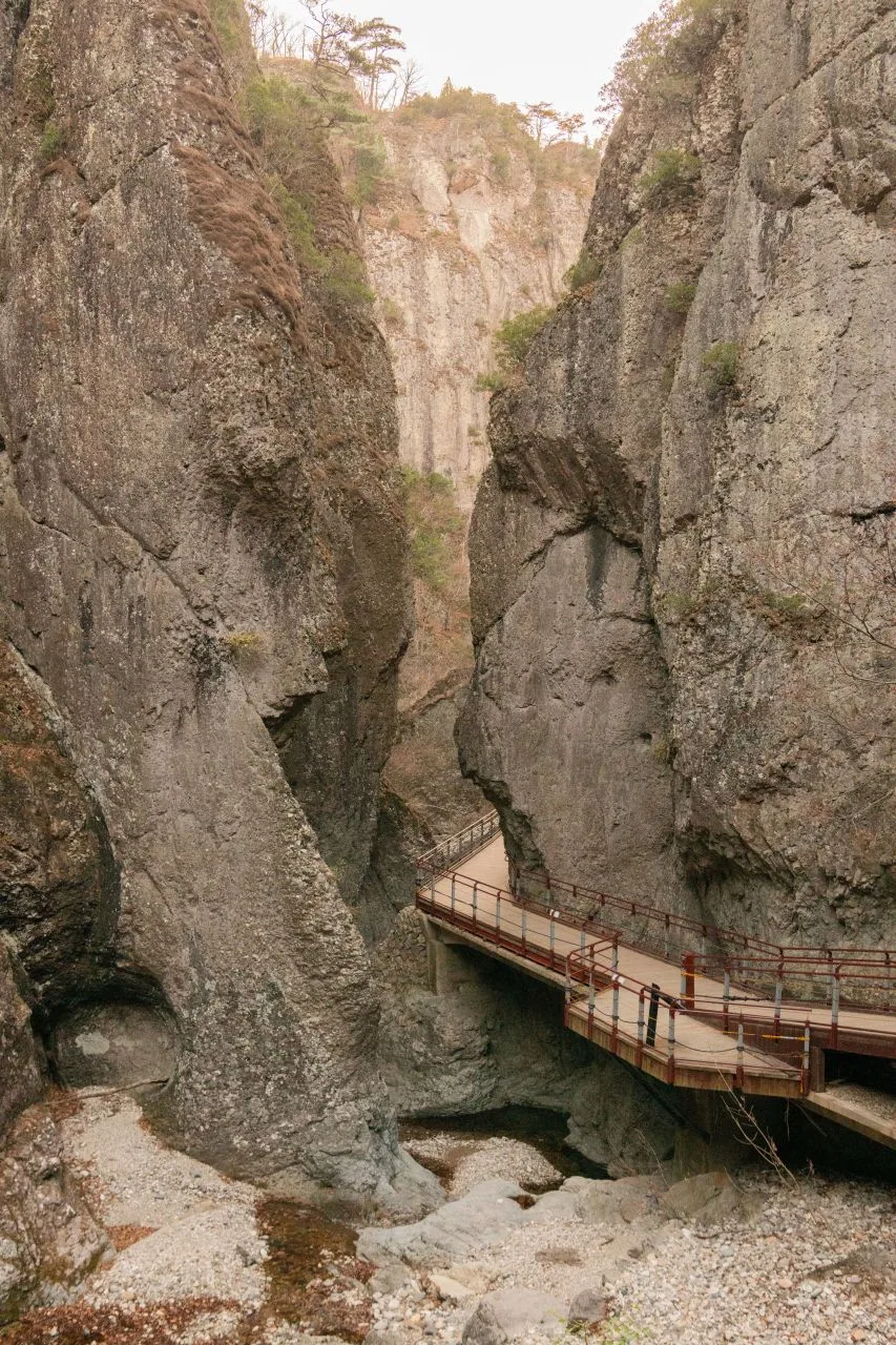 Photo: Korea Tourism Organization photo gallery (Juwangsan-myeon, Cheongsong-gun, Gyeongsangbuk-do) · KOGL
Juwangsan is a national park in Cheongsong-gun, Gyeongsangbuk-do, and it’s a mountain defined by its craggy cliffs and gorge terrain. The trail spatial data records two summit points, at 754m and 740m, while actual GPX measurements put the highest point in the summit area at 747m. Plenty of the route is gentle, so the data classifies the difficulty as “easy” — but the course leading up to the summit area covers 5.84km with 449m of net elevation gain, taking roughly 2 hours 13 minutes one way, which feels more like a moderate hike in practice. The main course can be done as a round trip in a single day, and the mountain is known for packing in a lot to look at: gorges, rock formations, waterfalls, and caves.
The Terrain
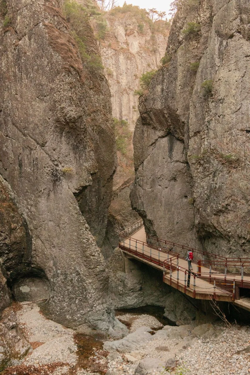 Photo: Korea Tourism Organization tourism photo gallery (Juwangsan-myeon, Cheongsong-gun, Gyeongsangbuk-do) · KOGL
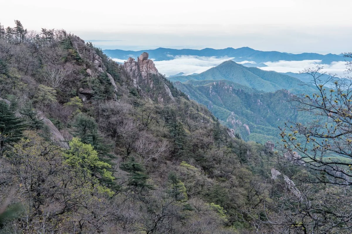
Juwangsan is a mountain of dramatic rock formations and narrow gorges, all carved out of volcanic terrain by erosion — which is why it usually gets filed under “rock mountain” (암산). Cliffs line up like folding screens, steep rocky ridges run along the valley, and the deeper into the valley you go, the tighter the gorge closes in. The summit area is recorded as two separate peaks (754m and 740m), though the highest point measured on the actual course comes in at 747m. Partway along you’ll find cave formations like Mujanggul and Juwanggul, which makes for a very different experience than your standard ridge hike. Overall it’s a mix: gentle forest paths with the softer, earth-mountain feel, plus rocky ridge and viewpoint sections near the top.
What the Hike Feels Like
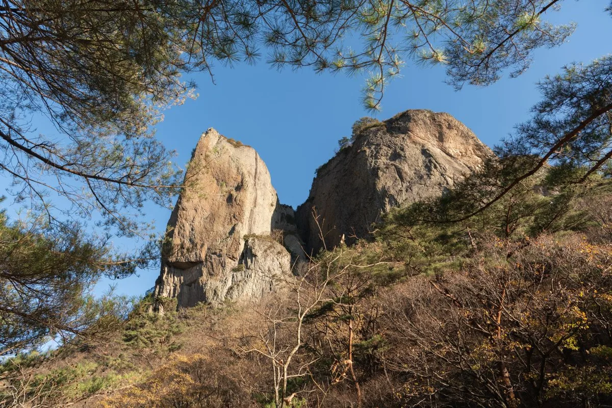 Photo: Korea Tourism Organization photo gallery (Juwangsan-myeon, Cheongsong-gun, Gyeongsangbuk-do) · KOGL
The first stretch of the course runs through thick forest on a gentle grade, then shifts into a section where you pass the First, Second, and Third Observatories one after another, each opening onto views of the gorge and the rocky peaks. Up at the observatories the view opens up completely, and you really get a sense of the sheer scale of the canyon. Past the summit, the descent serves up one thing after another — Adeulbawi Rock, Juwangam Hermitage, Mujanggul Cave, Juwanggul Cave — so the sightseeing just keeps coming. In spring the new greenery and the stream water play off each other; in summer the shade of the gorge and the breeze coming up the valley keep things relatively cool; in autumn the foliage sets the whole canyon ablaze, making it the busiest time of the year. In winter, ice forms on the shaded rock sections and around the stream, and the whole feel of the hike changes dramatically.
Main Routes (by trailhead)
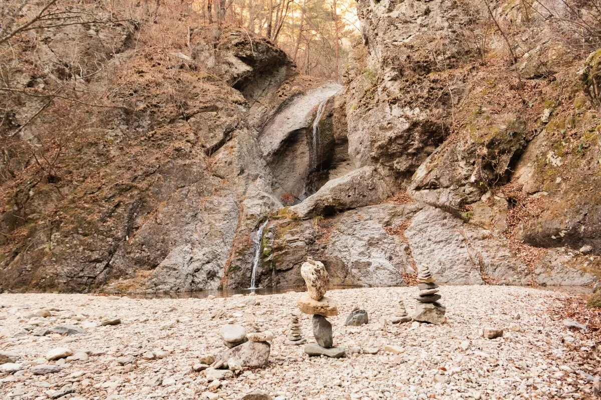 Photo: Korea Tourism Organization photo gallery (Juwangsan-myeon, Cheongsong-gun, Gyeongsangbuk-do) · KOGL
| Route (trailhead → summit) | Distance | Net elevation gain | Est. time (one way) | Difficulty | Popularity |
|---|---|---|---|---|---|
| Junction 4 → Observation deck | 5.84km | ↕449m | About 2 hr 13 min | ★★★☆☆ | ★★★★☆ |
※ Source: Korea Hiking and Trekking Support Center, 100 Famous Mountains GPX (distance, elevation, time, difficulty) · Popularity ratings are approximate
Course 1 — Junction 4 → Observation Deck
Route: Junction 4 → Observation Deck → 2nd Observation Deck → 3rd Observation Deck → Summit → Adeulbawi Rock → Valley Rest Area → Jahagyo Bridge Restroom → Vending Machine → Junction 14 → Junction 15 → Juwangam Hermitage Restroom → Mujanggul Cave → Unnamed Falls → Juwanggul Cave
Getting to the trailhead: By public transit, the usual approach is to transfer at Cheongsong Intercity Bus Terminal to a local county bus heading for Juwangsan (Daejeonsa Temple). From Seoul, Daegu, and other major cities you’ll need to take an express or intercity bus to Cheongsong first and transfer there — there’s no subway access to this area. If you’re driving, most people park at the public lot near the Juwangsan National Park entrance (close to Daejeonsa Temple), which gets seriously crowded during the autumn foliage season.
What it’s like and who it suits: The heart of the first half is the stretch that links three observation decks in a row, opening up views of the gorge and the rocky peaks. Past the summit, the route loops around through a string of cave and rock landmarks — Adeulbawi Rock, Juwangam Hermitage, Mujanggul Cave, Juwanggul Cave. At 5.84 km one way with a net elevation gain of 449 m, it’s an out-and-back you can comfortably do in a day, and it’s a good fit for anyone who wants gorge views alongside a bit of everything else — caves, waterfalls, and more.
Difficulty, Trail Surface, and Cautions
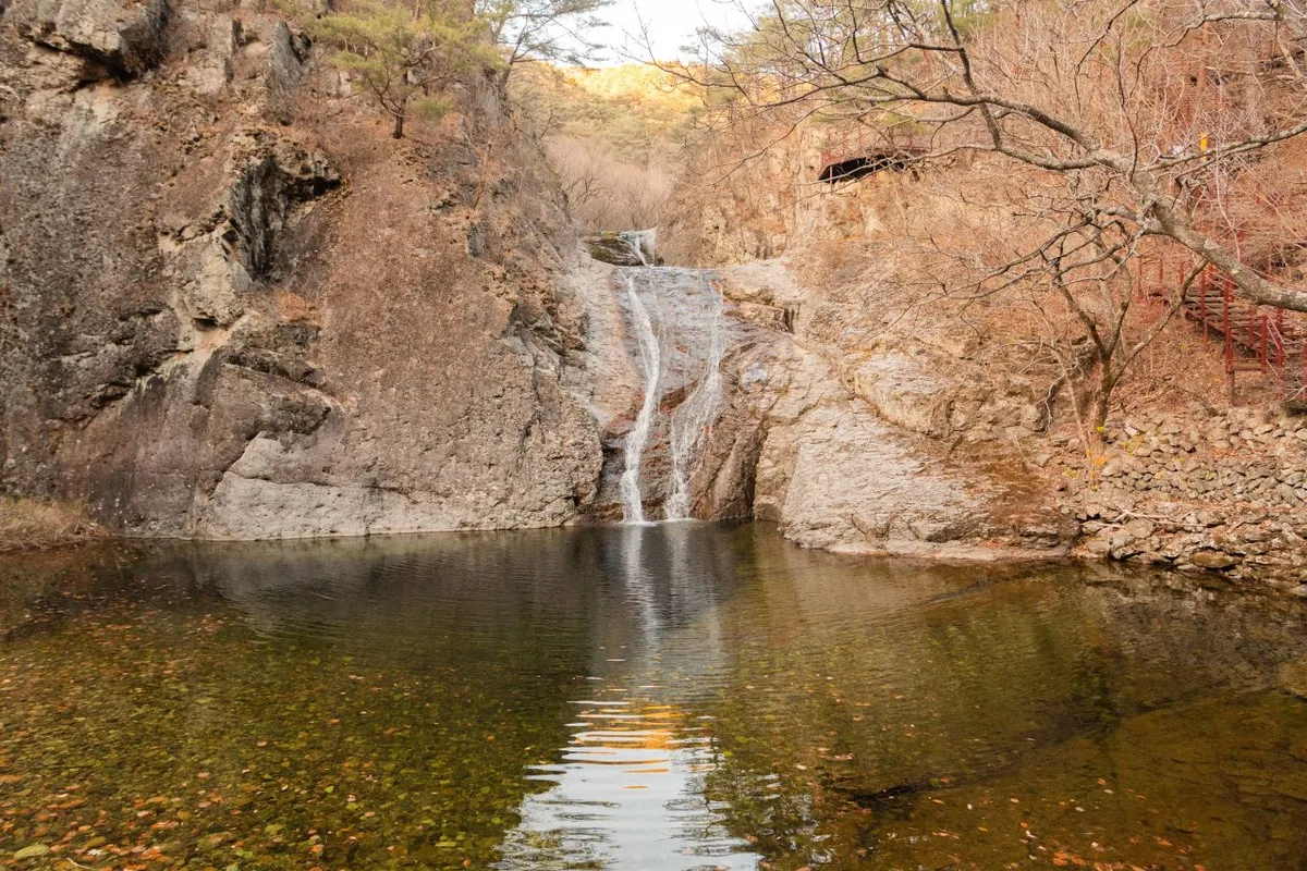 Photo: Korea Tourism Organization photo gallery (Juwangsan-myeon, Cheongsong-gun, Gyeongsangbuk-do) · KOGL
According to the trail spatial data, the hardest registered section within the district is classified as “easy” — but the measured route up toward the summit area, with 449 m of net elevation gain over 5.84 km, feels more like a three-star (★★★☆☆) outing. There’s no surface information on record, though given the terrain of bizarre rock formations and gorges, you can expect a mix of exposed bedrock, stairs, and boardwalk, so watch your footing in the rain. No hazard points are registered, and no viewpoints are listed either, but the measured route does show three spots that function as overlooks: the First, Second, and Third Observatories. Four trailhead and exit points are confirmed, and along the way you’ll find restrooms at Jahagyo Bridge and Juwangam Hermitage plus a vending machine — genuinely useful facilities. That said, no drinking fountains or shelters are registered, so take extra care with icy stretches in winter and rising creek levels during summer downpours.
Distance and Time Required
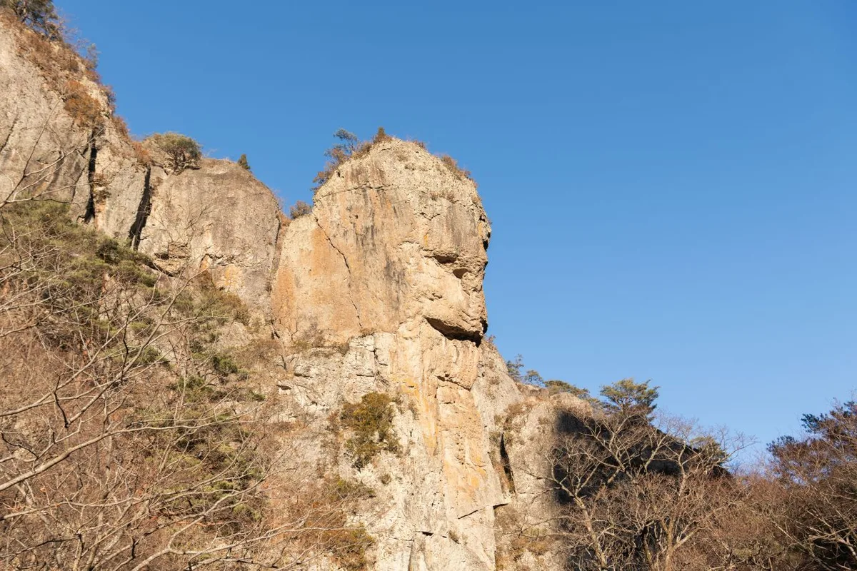 Photo: Korea Tourism Organization photo gallery (Juwangsan-myeon, Cheongsong-gun, Gyeongsangbuk-do) · KOGL
The summit course I profiled runs 5.84 km one way with a net elevation gain of 449 m, and takes about 2 hours 13 minutes — so the full out-and-back fits comfortably into a single day. Add up every registered trail segment in the area and you get a combined total of 33.68 km, but that’s the sum of several courses, not the length of any one of them. Those cumulative figures for the whole area — 747 minutes going up, 525 coming down — work out to an average ascent pace of roughly 22 minutes per kilometer, which is a handy yardstick for estimating how long a given course will take. (Just don’t mistake the cumulative number itself for a single course’s duration.) There are no shelters on any of the registered segments here, so while the course described above is fine as a day hike, anyone planning to cover the entire 33.68 km by hopping between the various trailheads should think about spending a night in Cheongsong.
Getting There (Public Transit & Parking)
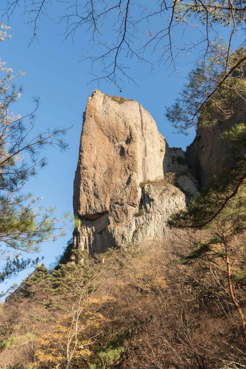 Photo: Korea Tourism Organization photo gallery (Juwangsan-myeon, Cheongsong-gun, Gyeongsangbuk-do) · KOGL
Juwangsan sits in the mountainous interior of Gyeongsangbuk-do, so there’s no subway getting you there. The usual route is to catch an express or intercity bus to Cheongsong from a major city — Seoul (Dong-Seoul or the Seoul Express Bus Terminal, for instance) or Daegu — then transfer at Cheongsong Intercity Bus Terminal to a county bus heading toward Juwangsan (Daejeonsa). For the actual transfer routes and departure times, your best bet is to search “Juwangsan National Park” or “Daejeonsa” on KakaoMap or Naver Map. If you’re driving, there’s a public parking lot near Daejeonsa at the park entrance, though it gets seriously congested during autumn foliage season — so aim for an early start.
Season, Weather, and Gear
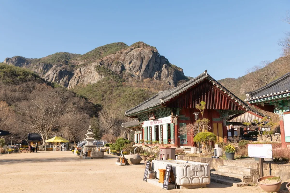 Photo: Korea Tourism Organization photo gallery (Juwangsan-myeon, Cheongsong-gun, Gyeongsangbuk-do) · KOGL
Juwangsan is best known for autumn (late October to early November), when the whole gorge turns colors, though summer draws its own crowds since you can pair the valleys with the waterfalls — which means sharing the trail with people there to splash around. During heavy rain spells, parts of the trail through the gorge may be closed for safety, so it’s worth checking the national park’s notices before you go. In winter, ice forms on the shaded rock sections and around the valleys, which pushes the difficulty up sharply — crampons become essential. Year-round, you’ll want hiking boots, a change of clothes, and poles, and since there’s no confirmed water fountain along the way, bring plenty of your own.
Tips for Foreign Visitors
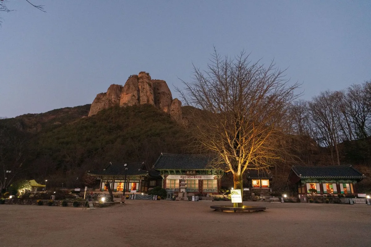 Photo: Korea Tourism Organization Photo Gallery (Juwangsan-myeon, Cheongsong-gun, Gyeongsangbuk-do) · KOGL
Juwangsan is romanized as Juwangsan, and the main temple near the trailhead is written as Daejeonsa Temple. Admission fees for cultural heritage zones inside national parks are reported to have been abolished nationwide from 2023 onward, so it’s safest to double-check whether any separate fee applies at the time of your visit on the on-site signage or the national park website. For restrooms, you can use the ones at Jahagyo Bridge and Juwangam Hermitage along the course, and there are vending machines too, but no dedicated drinking fountain has been confirmed — so bring your own water without fail. Google Maps is often inaccurate when it comes to trail information in Korea’s mountain regions, so I’d recommend using KakaoMap or Naver Map to check the actual route. Given the gorge terrain, there’s a risk of falling rocks and flash currents in wet weather, and because it’s a mountain area, there may be stretches where the cell signal weakens — so it’s safer to hike with company and follow the national park’s guidance.
Other Mountains Nearby
- Naeyeonsan in Pohang, a waterfall-lined valley on a ridge with East Sea views — about 19 km as the crow flies
- The thrill of the sky bridge and twelve rocky peaks: Cheongnyangsan in Bonghwa — about 48 km as the crow flies
- A granite ridge steeped in Buddhist heritage: Palgongsan in Daegu — about 59 km as the crow flies
📍 Juwangsan in Cheongsong, Gyeongbuk: Craggy Gorges and Hidden CavesLocation
Contact: bumseok.view [at] gmail [dot] com

Comments