Ulleungdo's 'Bike Path of Dreams' Loop Course & Things to Watch Out For
Cycling · Published 8/12/2026 ·
자전거길 트랙·시설 (공공데이터: 행정안전부 국토종주 자전거길 DB) · 🏆인증센터 💧급수대 🚻화장실 🔧공기주입기 · 지도 © OpenStreetMap ⤓ GPX 다운로드
At a Glance
| Metric | Rating |
|---|---|
| ① Course Difficulty | ★★☆☆☆ |
| ② Supplies & Amenities (Certification Centers, Water Stations) | ★☆☆☆☆ |
| ③ Certification Centers | 0 (none) |
| ④ Seasonal Difficulty — Spring | ★★☆☆☆ |
| ④ Seasonal Difficulty — Summer | ★★★☆☆ |
| ④ Seasonal Difficulty — Fall | ★★☆☆☆ |
| ④ Seasonal Difficulty — Winter | ★★★★☆ |
※ Source: Cross-Country Bike Path Database, Ministry of the Interior and Safety of Korea · Seasonal ratings are for reference only
Overview
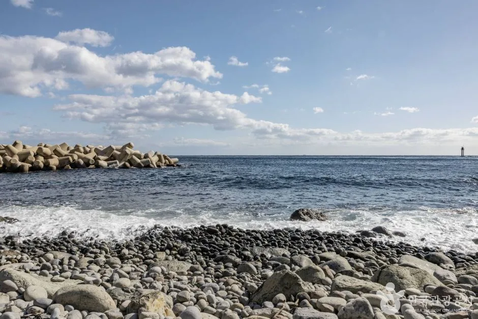 Photo: Korea Tourism Organization Photo Gallery (Jeodong-ri, Ulleung-eup, Ulleung-gun, Gyeongsangbuk-do) · KOGL
The Ulleungdo Kkumi Itneun Jajeongeo-gil (“Ulleungdo Dream Bike Road”) is a loop route that traces the coastline of a volcanic island sitting in the middle of the East Sea. It’s a very different animal from the inland Four Rivers bike paths, where you pedal endlessly along flat riverside embankments. Here, deep blue sea and jagged rock formations alternate on your left while sheer cliffs and forest rise on your right, and the route strings together village after village in short bursts — so the scenery changes dramatically as you ride. And unlike a point-to-point course where you just keep pushing in one direction, this one naturally brings you back to the harbor village you started from, which means you can leave your bags at your lodging and head out light. That’s the route’s biggest practical advantage.
There are four main ways to make use of this route.
First, a single-day loop ride. The standard approach: set out early from the harbor village, circle the coastline, and get back to your lodging in the afternoon. You keep your load to a minimum — just water and snacks — which makes this the best fit for travelers staying on the island at least one night.
Second, a two-day split ride. Divide the island into clockwise and counterclockwise halves and ride them over two days. Do one coast the first day and the opposite coast the next, and you’ll have breathing room on the climbs, plus time to linger at the scenic overlooks along the way. I’d recommend this if photography is your goal or if you’re not confident in your fitness.
Third, a Brompton or mini velo trip combined with the ferry. A folding bike gives you an edge at every step — boarding the ferry, getting around the island, and storing it at your lodging. That said, bike loading rules vary by ferry operator and sailing, so be sure to check individually when you book. If your mini velo has fairly low gearing, the coastal climbs can get punishing, so don’t push it — plan ahead for sections where you’ll walk the bike up instead.
Fourth, partial-section rides for families and beginners. Instead of aiming to complete the full loop, you simply ride out and back along the gentle coastal stretch near the harbor village where you’re staying. If you’ve got kids along, or it’s been a while since you were last on a bike, this approach is far safer and much more enjoyable.
Course Information
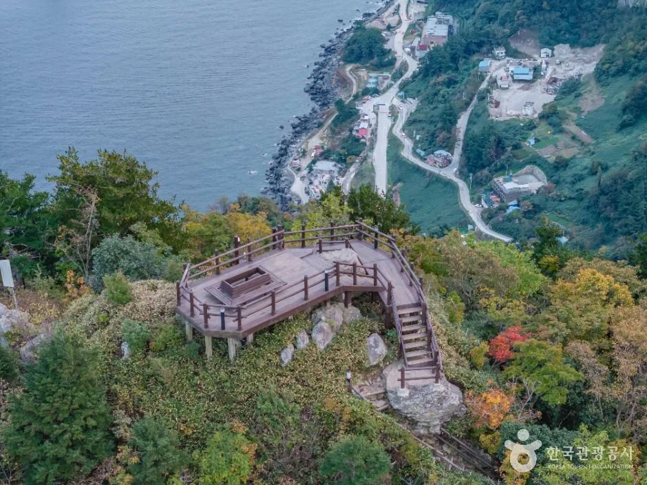 Photo: Korea Tourism Organization Tourism Photo Gallery (Jeodong-ri, Ulleung-eup, Ulleung-gun, Gyeongsangbuk-do) · KOGL (Korea Open Government License)
The start and end points are one and the same. Most riders set out from the harbor villages around Dodong and Sadong, where the passenger ferries dock, follow the coast in one direction, and end up right back where they started. Which way you go is entirely up to you — though plenty of riders pick clockwise or counterclockwise based on where the morning sun will be and how the climbs are distributed.
The main waypoints are the villages ringing the island. There’s Jeodong, famous for its squid; Sadong on the southern coast; Namyang and Taeha along the west; Hyeonpo in the northwest; Cheonbu up north, with a turnoff heading inland toward the Nari Basin; and then the route flows back along the eastern shore. Each village is small and spaced well apart from the next, so it’s worth getting into the habit of asking yourself “should I top up my water here?” every time you roll into one.
As for the road surface, don’t picture the long stretches of dedicated bike path you’d find on an inland riverside route — this is mostly a coastal ring road that you share with cars. In other words, rather than expecting a separated bike path, it’s safer to think of this as road riding along the right side of the carriageway. The tunnels cutting through the coastal cliffs and the short, repeated ups and downs are what really determine how hard this route feels. The course difficulty in the star rating table above is a reference figure based on distance alone, so I’d suggest preparing as if the actual pedaling effort will be one notch harder. Inside the tunnels especially, the lighting is dim and the pavement can be uneven — slow down and make absolutely sure your front and rear lights are on.
The scenery changes character dramatically from section to section. The eastern coast is full of working life — harbors, fishing boats, breakwaters — while the western and northern coasts are the dramatic stretches, all strange rock formations, cliffs, and wide-open horizon. Take one of the turnoffs that dips slightly inland and you’ll find the basin-and-forest terrain that’s so distinctive of a volcanic island. If you have the time, I’d recommend adding at least one of these inland detours to your coastal loop.
This route isn’t part of the national cross-country cycling certification program, so there are no certification centers to stop at for stamps along the way. No worrying about straying off route or missing a stamp — you simply follow the flow of the coastline, and that’s all there is to it.
Nearby Food
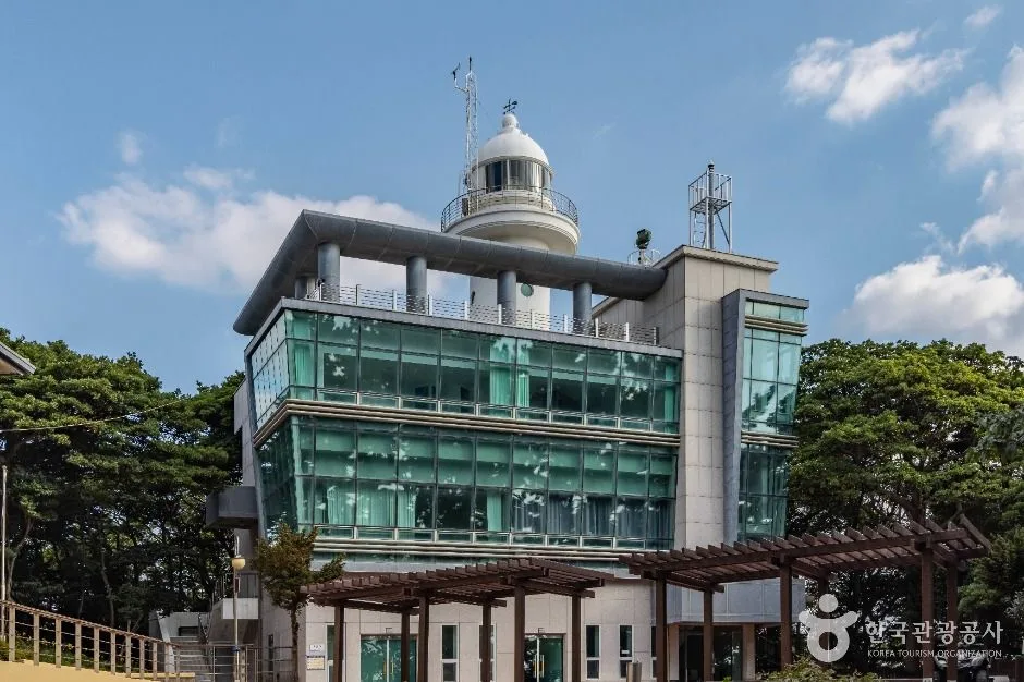 Photo: Korea Tourism Organization photo gallery (291-71 Haengnam-gil, Ulleung-eup, Ulleung-gun, Gyeongsangbuk-do) · KOGL (Korea Open Government License)
The villages along this route are mostly fishing communities, so the local food scene naturally revolves around whatever comes out of the sea. Rather than pointing you to specific restaurants, I’d suggest keeping an eye out for the dishes this area is generally known for.
- Squid dishes: The ingredient this region is famous for. You’ll find it everywhere in all sorts of forms — raw (hoe), in cold spicy soup (mulhoe), in innards stew, or dried.
- Hongheop-bap (mussel rice): A well-known one-bowl meal on the island, and easy on the stomach as a recovery meal mid-ride.
- Barnacle dishes: Noodles or rice made with barnacles are usually introduced as a local specialty.
- Wild greens bibimbap: Bibimbap-style dishes made with mountain greens from the volcanic island’s slopes are a local staple. They often come with pickled myeongi (wild garlic leaves) on the side.
- Pumpkin products: Pumpkin taffy, pumpkin bread, and other pumpkin-based snacks are well known as souvenirs here — and they work nicely as a sugar top-up on the bike.
From a resupply standpoint, the key thing to understand is that food and convenience stores are clustered in the villages, and the coastal stretches between them have essentially nothing. On the sections where cliffs and tunnels run one after another, it’s safest to assume there’s nowhere to buy even a bottle of water. Also, fishing-village restaurants keep flexible hours depending on the catch, the weather, and the season, and some close between lunch and dinner. The trick on this route is to eat when you roll into a village — not when you get hungry.
Supplies and Facilities
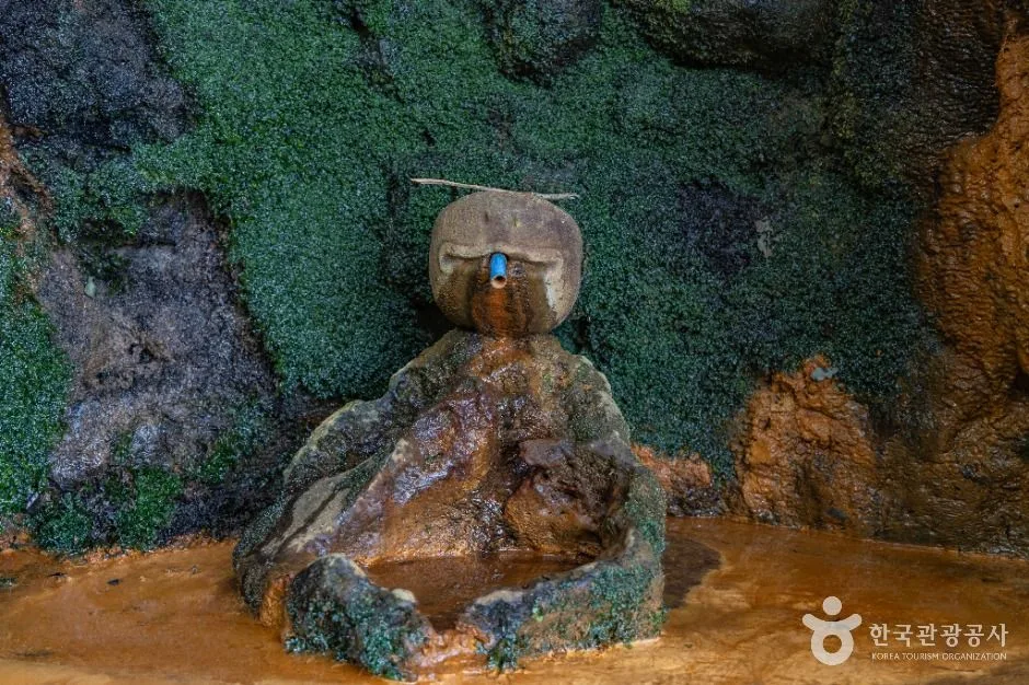 Photo: Korea Tourism Organization photo gallery (Dodong-ri, Ulleung-eup, Ulleung-gun, Gyeongsangbuk-do) · KOGL (Korea Open Government License)
This route has no registered bike-path facilities of any kind. Here’s the rundown:
| Facility | Count | What to do instead |
|---|---|---|
| Certification centers | 0 | None (not part of the certification program) |
| Water stations | 0 | Get water from village shops or your lodging |
| Restrooms | 0 | Use facilities in villages, harbors, and tourist sites |
| Air pumps | 0 | A personal hand pump is a must |
※ Source: Ministry of the Interior and Safety of Korea, national cross-country bike route database
So your resupply plan has to be built entirely around fending for yourself village by village. Here’s what I’d actually recommend in practice:
- Run a two-bottle system for water. One bottle for drinking, one held in reserve — and refill the reserve every time you roll into a village.
- With zero air pumps on the route, a hand pump and puncture kit aren’t optional — they’re mandatory. Pack at least one spare tube as well.
- For restrooms, you’re relying on villages, harbors, and tourist facilities. Make it a habit to take care of business before leaving each village.
- Buy snacks ahead of time. Stocking up on energy bars, bread, and bananas at the harbor village before you set off will save you in the stretches with no resupply.
As for certification: since this route isn’t part of the national cross-country certification program, there’s no passport, no stamps, and no completion certificate. Bring your passport if you like, but there’s no box to stamp on this island. If collecting certification stamps is the point of your trip, you’ll need to plan a separate ride on one of the mainland certification routes (I cover the certification system in general in the tips for international visitors below).
Getting Back
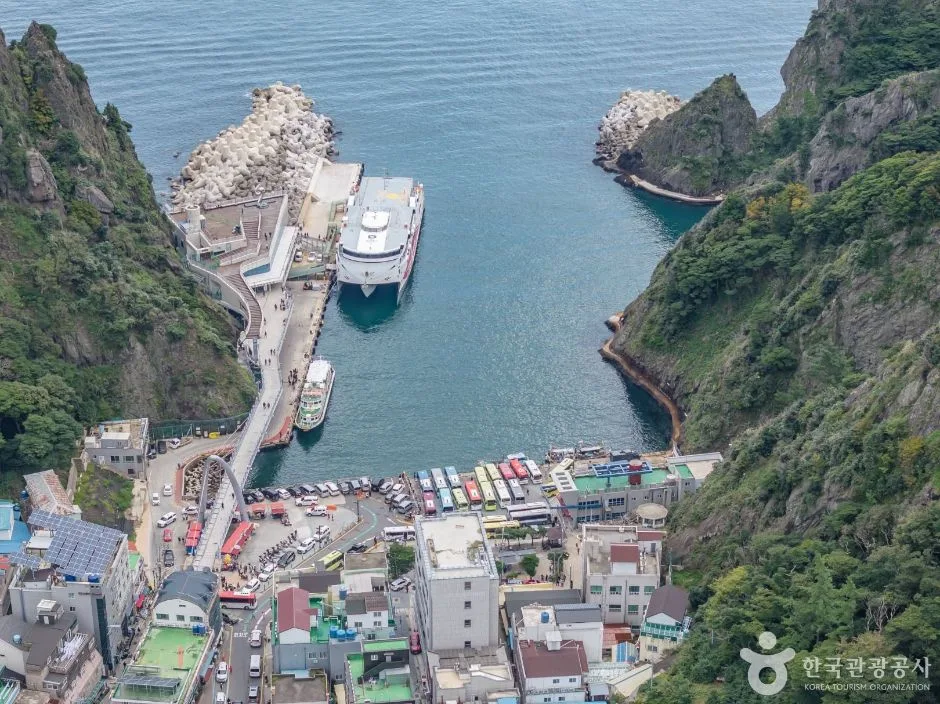 Photo: Korea Tourism Organization photo gallery (Dodong-ri, Ulleung-eup, Ulleung-gun, Gyeongsangbuk-do) · KOGL (Korea Open Government License)
Since this is a loop route, there’s no need to arrange any separate transportation for the return. Just keep following the coastline and you’ll naturally end up back at the harbor village where you started — and if you left your bags at your lodging before heading out, you can simply pick them up and call it a day. If your legs give out somewhere along the way, pushing on in the direction you’re already going is usually shorter than backtracking, so once you pass the halfway point, it’s worth checking the remaining distance on a map app — it makes that call a lot easier.
Safety Notes
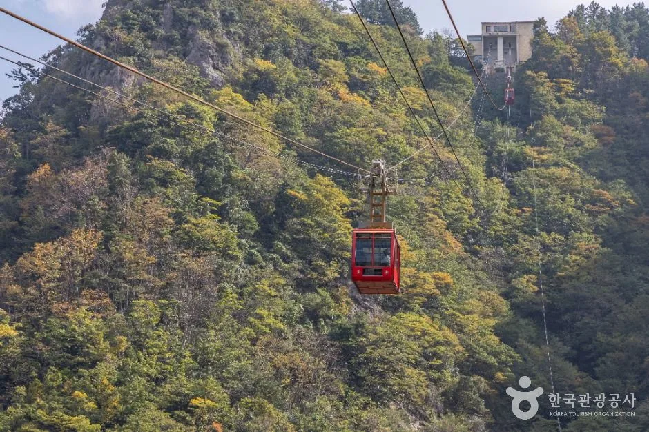 Photo: Korea Tourism Organization Photo Gallery (99 Yaksuteo-gil, Ulleung-eup, Ulleung-gun, Gyeongsangbuk-do) · KOGL (Korea Open Government License)
- Most of this route shares the road with cars. Don’t assume there’s a continuous separated bike path — ride on the assumption that you’ll be keeping to the right side of the roadway and checking behind you at all times. On stretches where tour buses and trucks pass through, don’t tempt them into risky overtaking; it’s better to pull over at a safe spot and let them by.
- The tunnels are the single biggest hazard on this route. Turn on your front and rear lights before entering, and wear a bright-colored top or something reflective. Inside the tunnel, watch out for pavement joints and drainage grates, and slow way down.
- Pedestrians mix with traffic in the village sections. Around the harbors and shops, you’ll find plenty of pedestrians and parked cars. Cut your speed significantly through these stretches and announce yourself with your bell or your voice.
- Control your descents. The downhills that follow the coastal climbs can have tight curves and short sightlines. Don’t rely on the front brake alone — distribute braking between both — and on wet pavement, double your braking distance.
- Rockfall and strong winds. On coastal roads beneath the cliffs, bad weather brings the risk of falling rocks and waves washing over the road. If there’s a weather advisory or a road closure notice, the rule is simple: postpone the ride.
- Ice. In winter, the pavement can freeze at tunnel entrances and exits and in the shade beneath the cliffs. During this season, it’s safer not to make a full loop your goal.
- Keep reminding yourself there are no water stations. In summer, sip water every 15–20 minutes starting before you feel thirsty, and if you’ve been sweating heavily, take an electrolyte drink or salty snack along with it to prevent dehydration and cramps.
- Night riding is not recommended. Sparse streetlights on the coastal sections combined with the tunnels raise the risk considerably. Plan your day so you’re back at your lodging an hour before sunset.
Season, Weather, and Gear
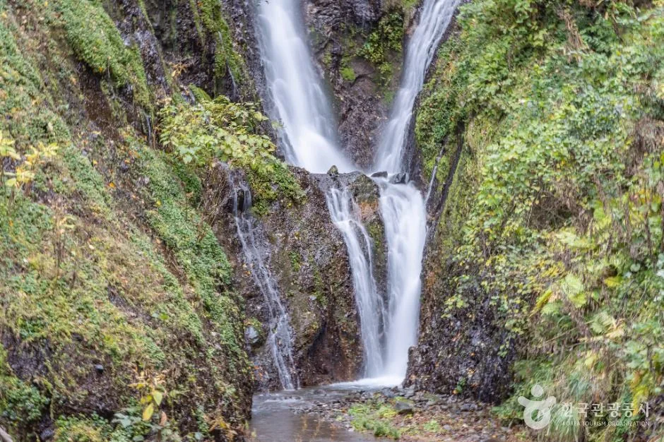 Photo: Korea Tourism Organization Photo Gallery (Dodong-ri, Ulleung-eup, Ulleung-gun, Gyeongsangbuk-do) · Kogl (Korea Open Government License)
The best seasons to ride are late spring and early fall. The temperatures are mild and the air is clear, which is when the coastal scenery really shines.
- Spring (★★☆☆☆): Great riding conditions overall. That said, marine weather changes often out here, so build some slack into your schedule in case the ferries get canceled.
- Summer (★★★☆☆): The heat, the harsh sun, and the stretches with no resupply all stack up, making it feel a lot harder than it looks on paper. Starting at dawn is about as close to a right answer as you’ll get. During monsoon and typhoon season, the risk of rockfalls and waves breaking over the road goes way up.
- Fall (★★☆☆☆): Clear air and a deeper blue to the sea — most people call this the best season for photos. Daylight hours get shorter, though, so move your start time up.
- Winter (★★★★☆): Northwesterly winds, icy roads, and frequent ferry cancellations make this a much tougher proposition. I’d skip the full loop and stick to short rides around the villages.
The sea wind can be your friend or pure resistance, depending on which way it’s blowing. And since this is a loop route, factor in that no matter which direction you ride, you’ll hit a headwind section at least once.
Essential Gear Checklist
| Category | Items |
|---|---|
| Safety | Helmet, front and rear lights (a must for the tunnels), reflective clothing, gloves |
| Repairs | Mini pump, patch kit, spare tube, multi-tool, chain link |
| Fuel | Two water bottles, snacks like energy bars and bread, electrolyte drinks |
| Weather | Lightweight windbreaker (for sea winds and descents), sunscreen, sunglasses |
| Misc | Phone power bank, phone mount, small bills (for the little shops), basic first-aid meds |
Tips for International Travelers
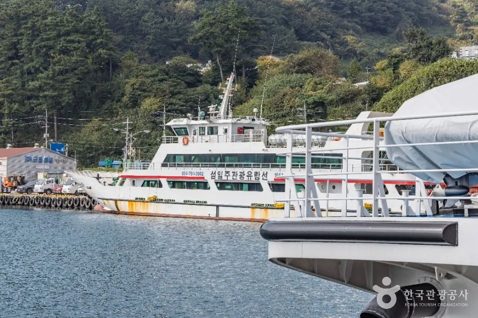 Photo: Korea Tourism Organization Photo Gallery (8-3 Dodong 2-gil, Ulleung-eup, Ulleung-gun, Gyeongsangbuk-do) · KOGL (Korea Open Government License)
① Route Name in Romanized Korean
- Korean: 울릉도 꿈이 있는 자전거길
- Romanized: Ulleungdo Kkumi Itneun Jajeongeo-gil
- Meaning: “Ulleungdo Dream Bike Road” — a coastal loop route around Ulleungdo Island
- Key place names: 도동 Dodong · 저동 Jeodong · 사동 Sadong · 남양 Namyang · 태하 Taeha · 현포 Hyeonpo · 천부 Cheonbu · 나리분지 Nari Basin
② A Practical Guide to the Certification System — This Route Isn’t Part of It
Let me be clear up front: this route is NOT part of Korea’s National Cross-Country Cycling Certification system. There are no certification centers on the island, nowhere to collect stamps, and no sections that count toward a completion certificate. So don’t worry about certification here — just soak in the scenery.
That said, if you’re planning to ride other bike paths in Korea as well, here’s how the certification system actually works in practice.
- The Bike Passport: This is the heart of Korea’s bike path certification system — a paper booklet where you collect stamps from each certification center. Your safest bet is generally to buy one in person at a staffed certification center. The official website is effectively Korean-only, and between foreign-issued card payment issues and Korean identity verification requirements (a Korean phone number or Korean ID), international travelers often can’t complete an online purchase in advance. So buying your passport at the first staffed certification center you hit after arriving in Korea is the most realistic approach.
- Using unstaffed certification centers: These are small stamp booths shaped like red phone boxes. Inside each booth hangs a stamp with the section name on it — you just stamp the matching square in your passport yourself, and that’s it. No staff, no procedure. The ink can be dry or the stamp faint, so press down firmly and get it in one go. Most booths are open 24 hours.
- After completing a section: Once you’ve collected all the stamps for a section, you receive a certification sticker for it to put in your passport, then get it verified at a designated counter to receive a completion certificate. For major achievements like the full cross-country route, it’s widely known that a completion medal is awarded. The exact issuing locations and conditions can change over time, so confirm directly at a local certification center.
- Once more, to be clear: none of the above applies to this island route.
③ If You’re Coming Without a Bike
- Some accommodations and tour operators on the island rent out bikes and e-bikes, but don’t build your plans around them always being available — ask when booking your accommodation whether rentals are offered, what kind of bikes, and what gearing they have. In peak season, stock can run out fast.
- If your itinerary includes time in Seoul, you can use the city’s public bike share, Ttareungi (Seoul Bike). The app supports English, and foreign-issued cards are generally accepted. Just note that Ttareungi is a Seoul-area-only service — you can’t use it on this island.
- If you’re bringing your own bike for the long haul, check directly with the ferry company before booking about their bike policies, extra fees, and whether packing is required. Rules vary by operator and vessel. A folding bike in a case often makes the whole process simpler.
- Ferries can be canceled due to weather, so I strongly recommend building a buffer day or so into your schedule on either side of the island leg.
④ Map Apps
- Google Maps’ cycling directions are unreliable in Korea. Its bike route data is limited, and it may send you down roads that are genuinely difficult to ride.
- Use the cycling mode in KakaoMap or Naver Map instead. Both apps offer English interfaces, and their route, elevation, and road data within Korea is far more accurate. Searching by Korean place names (hangul) works better than romanized spellings, so I’d suggest copying and pasting the Korean names listed above.
- Cell coverage can be spotty along parts of the island’s coast, so download offline maps or screenshot your route before setting out. If you ride with GPS tracks (GPX), load them onto your cycling computer ahead of time to be safe.
- Emergencies: save these numbers in advance — 119 for medical emergencies, 112 for police, and 1330 for the tourist interpretation helpline (multilingual support).
Other Bike Paths Nearby
- East Coast (Gyeongbuk) Bike Path: 76km, 5 Certification Centers — about 155km straight-line distance
- East Coast (Gangwon) Bike Path: Course, Distance & Certification Centers — about 182km straight-line distance
- Gyeongju Historic Sites Bike Path: Course, Distance & Getting Back — about 234km straight-line distance
📍 Ulleungdo's 'Bike Path of Dreams' Loop Course & Things to Watch Out ForLocation
Contact: bumseok.view [at] gmail [dot] com
Comments