Jeongeupcheon Bike Path: Course, Distance & Certification Centers
Cycling · Published 8/18/2026 ·
자전거길 트랙·시설 (공공데이터: 행정안전부 국토종주 자전거길 DB) · 🏆인증센터 💧급수대 🚻화장실 🔧공기주입기 · 지도 © OpenStreetMap ⤓ GPX 다운로드
Key Takeaways
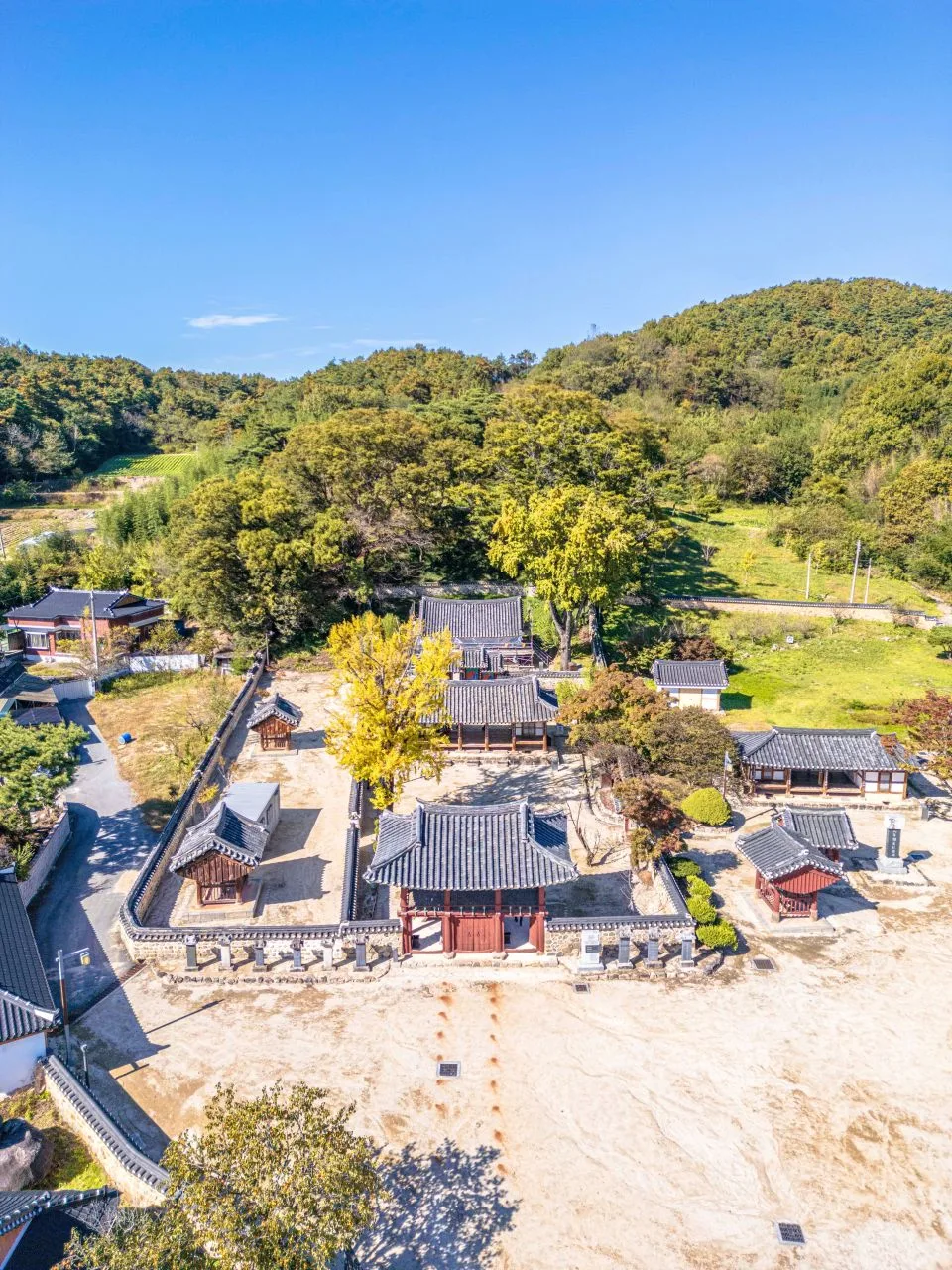 Photo: Korea Tourism Organization photo gallery (Chilbo-myeon, Jeongeup-si, Jeollabuk-do) · Kogl (Korea Open Government License)
- This is the Jeongeupcheon riverside bike path, following the stream that runs right through downtown Jeongeup in Jeollabuk-do. It’s a flat course mostly on dedicated riverside bike lanes, with hardly any steep climbs — great for beginners and family rides.
- It’s a one-way route on paper, but the whole thing is short enough that riding it out and back fits comfortably into a single day. No need to figure out return transportation.
- This is not part of the national cross-country certification system — it’s a purely local riverside course. There are no certification centers or stamp booths, so leave the passport at home; the upside is you can ride whatever sections you like, in whatever order.
- There are no registered water fountains, restrooms, or air pumps along the route, so you’re entirely dependent on shops in town for resupply. Bring water and repair tools before you set out — no exceptions.
- Since the course sits right next to downtown Jeongeup, conveniences are easy to reach, and it pairs nicely with Naejangsan or the Jeongeup city sights for a full day out.
| Metric | Rating |
|---|---|
| Course difficulty | ★★☆☆☆ |
| Resupply & amenities (cert centers, water) | ★☆☆☆☆ |
| Certification centers | 0 |
| Spring difficulty | ★★☆☆☆ |
| Summer difficulty | ★★★★☆ |
| Fall difficulty | ★★☆☆☆ |
| Winter difficulty | ★★★☆☆ |
Source: Ministry of the Interior and Safety of Korea, national cross-country bike path database · Seasonal ratings are approximate
Course Info
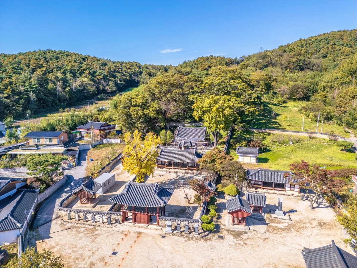 Photo: Korea Tourism Organization photo gallery (Chilbo-myeon, Jeongeup-si, Jeonbuk State) · KOGL
The Jeongeupcheon bike path is a one-way route that follows the Jeongeupcheon, the stream that cuts through Jeongeup from north to south. It starts toward the upper reaches of the stream and ends downstream, and most of the route is a dedicated riverside bike path running along the stream’s embankments and waterside flats.
The surface is mostly well-paved asphalt or concrete, and since it follows the stream, it’s essentially flat with almost no elevation change. You won’t hit any serious climbs the entire ride, so you rarely even need to shift gears. That said, you’ll want to slow down at bridge on/off ramps for crossing the stream, at points where tributaries merge in, and where the path meets city streets — those spots have short slopes, stepped ramps, and bollards (posts to keep cars out).
The main stretch runs through downtown Jeongeup. Since the Jeongeupcheon flows right through the heart of the city, you’ll pass under a series of city bridges along the way, riding past walking paths, exercise facilities, and waterside parks built along both banks. Once you leave the city, the stream widens and the scenery shifts to classic Honam plains — rice paddies, fields, and levee paths stretching on. In spring, the cherry trees and canola along the stream provide the backdrop; in fall, it’s silver grass and cosmos blooming all along the route.
This route is not part of the national cross-country bike path certification program. There are no certification centers along the way, and no pressure to hit specific checkpoints for stamps. Start wherever you like, turn around wherever you like — that freedom is really the character of this course.
Supplies & Facilities
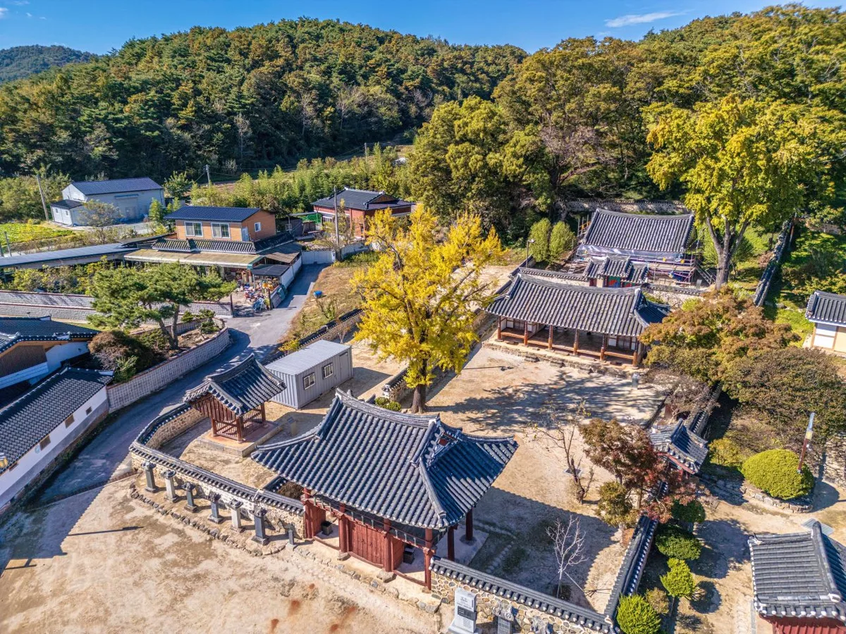 Photo: Korea Tourism Organization Photo Gallery (Chilbo-myeon, Jeongeup-si, Jeonbuk State) · Kogl (Korea Open Government License)
According to the bike path database maintained by the Ministry of the Interior and Safety of Korea, here’s what this route has in the way of facilities:
| Facility | Count |
|---|---|
| Certification centers | 0 |
| Restrooms | 0 |
| Water fountains | 0 |
| Air pumps | 0 |
Yes, you read that right — the route itself has exactly zero registered amenities, which is both its biggest weakness and the main thing to plan around. But don’t take that to mean “there’s nothing anywhere nearby.” It just means nothing is registered and managed as a dedicated bike-path facility. In reality, the route cuts right through downtown Jeongeup, so if you climb up from the riverside path onto the embankment and head toward town, you’ll have no trouble finding convenience stores, cafes, public restrooms, pharmacies — all the usual urban infrastructure. Riverside neighborhood parks and sports facilities also typically have city-run public restrooms nearby.
Here’s how I’d handle it in practice:
- Water: With no fountains on the route, fill your bottles before you set out — in summer, I’d recommend at least two 500ml bottles. Top up at a convenience store while you’re passing through the downtown stretch.
- Restrooms: Take care of business in the downtown section while you can. Once you’re out on the embankment paths beyond town, finding usable facilities can be tough.
- Air pumps: There are none on the route, so bring a portable pump or CO2 cartridges — no exceptions. It’s also worth saving the locations of bike shops in downtown Jeongeup in your map app ahead of time, so you can react quickly if you flat.
About certification passports and stamps: This route isn’t part of the certification program, so there’s no Bike Passport or stamp booth here. If you’re collecting cross-country certification stickers, this course won’t count toward anything — approach it purely as a local riverside ride to enjoy for its own sake.
The Return Trip
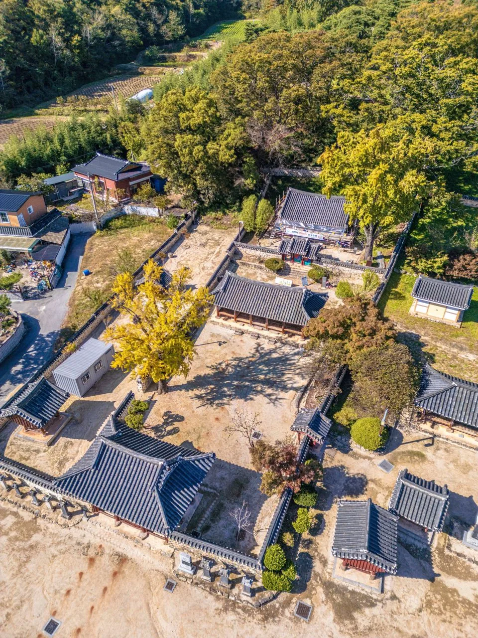 Photo: Korea Tourism Organization Tourism Photo Gallery (Chilbo-myeon, Jeongeup-si, Jeollabuk-do) · KOGL (Korea Open Government License)
It’s a one-way route, but at 26.7 km each way, a round trip comes to just 53.4 km — and since the course is mostly flat, it’s not a big physical ask. Most riders simply turn around at the endpoint and retrace their route back to where they started.
An out-and-back course has two things going for it. First, you don’t have to worry about public transit transfers or how to haul your bike anywhere. Second, the same road feels like a different course when you ride it the other way — the wind shifts, and so does the scenery. If you fought a headwind on the way out, you’ll get a tailwind pushing you home, so budgeting your energy at roughly 60% out, 40% back leaves you plenty in the tank to finish comfortably.
And if you’re short on stamina or time, turning around at the halfway point is a perfectly good option. The route passes through the city center, so there are plenty of spots to peel off into town — you can adjust the distance on the fly depending on how you’re feeling.
Overview
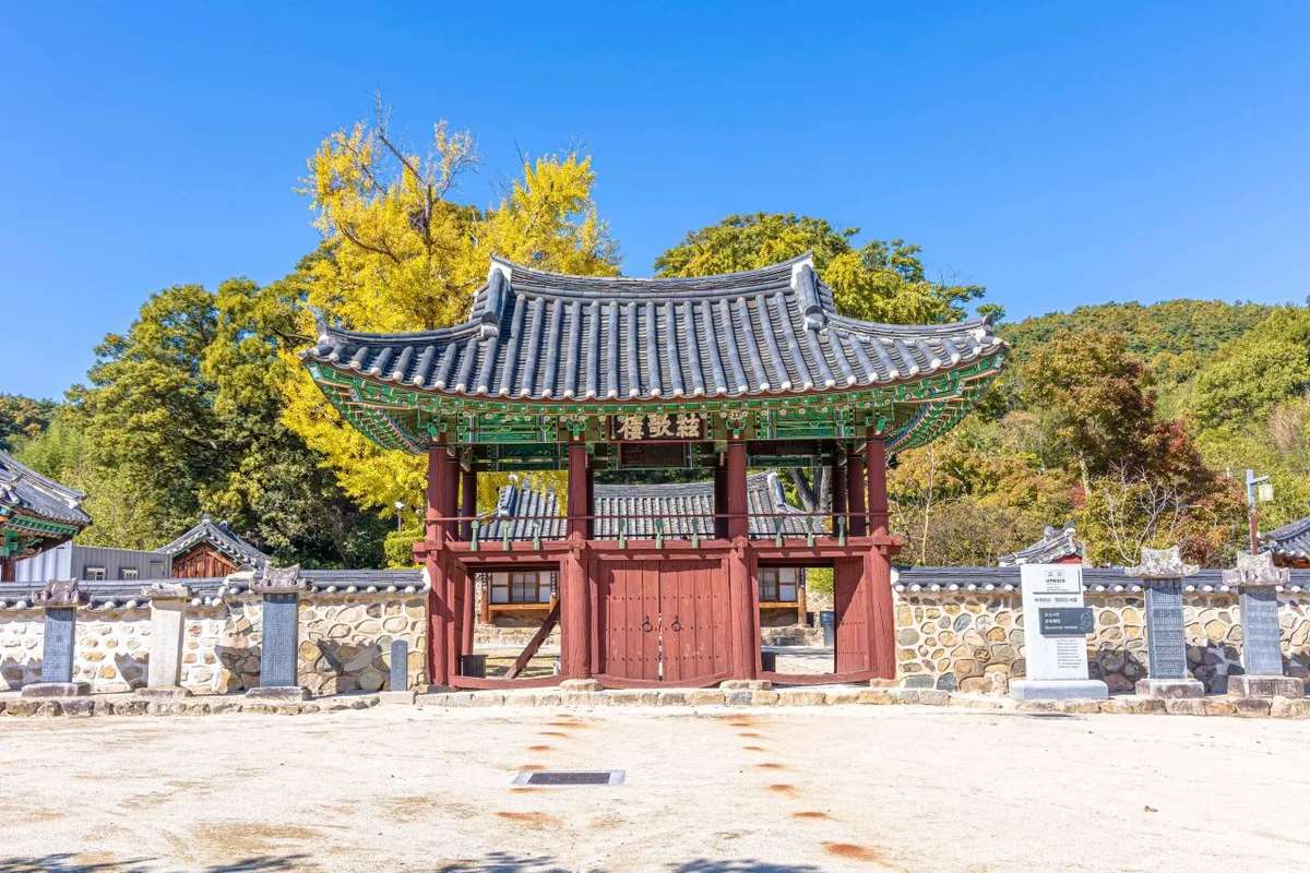 Photo: Korea Tourism Organization Photo Gallery (Chilbo-myeon, Jeongeup-si, Jeonbuk State) · Kogl (Korea Open Government License)
The Jeongeupcheon Bike Path (Jeongeup Jeongeupcheon Bicycle Road) isn’t about flashy landmarks — it’s very much an urban riverside ride with the texture of everyday life. This isn’t one of those cross-country routes where you grind out huge distances; it’s a comfortable, flat path that overlaps with the daily routes of local residents. As you pedal along, the sound of the stream and the hum of the city take turns in your ears, and once you leave the downtown area, quiet fields suddenly open up around you — that contrast is the real charm of this course.
Here are some concrete ways to make use of it.
① Day-Trip Out-and-Back (the classic option) Head out in the morning, ride to the endpoint, grab lunch in downtown Jeongeup, and ride back in the afternoon. The 53.4 km round trip is half a day’s work for anyone who rides regularly, and even beginners can comfortably do it in a day with plenty of rest stops.
② Beginner and Family-Friendly Intro Course It’s mostly flat with no steep climbs, and since it stays close to the city, bailing out midway is easy. If you’re riding with kids, don’t insist on the full round trip — I’d recommend just doing a 10–15 km out-and-back on the downtown section instead. The riverside parks make great rest stops along the way.
③ Mini Velo / Folding Bike + Public Transit Combo This route pairs beautifully with a folding bike like a Brompton or Dahon — pack it in a bag, take the train or bus to Jeongeup, then unfold and ride. Since it’s a flat course, small wheels handle it with no trouble, and 26.7 km one way is just the right distance for a mini velo.
④ Half-Day Ride Combined with Jeongeup Sightseeing Ride about half the path in the morning, then spend the afternoon exploring Jeongeup’s other attractions. Instead of making the ride your whole day, treat it as one piece of a larger travel itinerary — I’d especially recommend this approach for visitors.
⑤ Interval and Time-Trial Training Section The levee sections have few traffic signals, making them great for holding a steady cadence — well suited to repeat training runs. Just steer clear of the hours when pedestrians and walkers are out.
Nearby Food
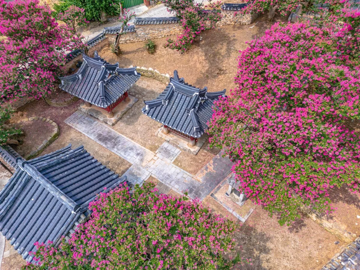 Photo: Korea Tourism Organization photo gallery (Taein-myeon, Jeongeup-si, Jeonbuk State) · KOGL (Korea Open Government License)
Jeongeup sits in North Jeolla Province, a region famous for its baekban culture — set meals piled high with the sheer number of side dishes Jeolla is known for. Rather than pointing you to specific restaurants, I’ll go over the local foods that are generally well known.
| Type | What it is | How it pairs with riding |
|---|---|---|
| Jeolla-style baekban / hanjeongsik | A spread that typically comes with many kinds of side dishes | A solid recovery meal after a ride |
| Wild greens and namul dishes | Broadly well-known fare around the Naejangsan area | Light enough to eat and keep riding through the afternoon |
| Bean sprout gukbap / hangover soups | A common breakfast staple across the Jeonbuk region | Great for breakfast before an early start |
| Noodles and bibimbap | Single-dish meals you’ll find at most local restaurants | Easy on the stomach, good for a mid-ride meal |
| Seasonal fruit and produce | Seasonal farm goods are everywhere, this being the Honam plains | Doubles as resupply and snacks at markets and farm stands |
From a resupply standpoint, downtown Jeongeup is essentially the only place with any concentration of supply points. Convenience stores, cafes, and restaurants are all clustered in the city center, so the rule is to top up on water and snacks right before you leave town and get onto the levee path.
⚠️ No-resupply zone warning: Once you’re out of the city, the river levee sections can stretch on with almost no shops. Entering this stretch without water on a summer afternoon is genuinely dangerous. Don’t tell yourself “there’ll be a convenience store up ahead” — stock up properly in town before you roll out.
Safety & Precautions
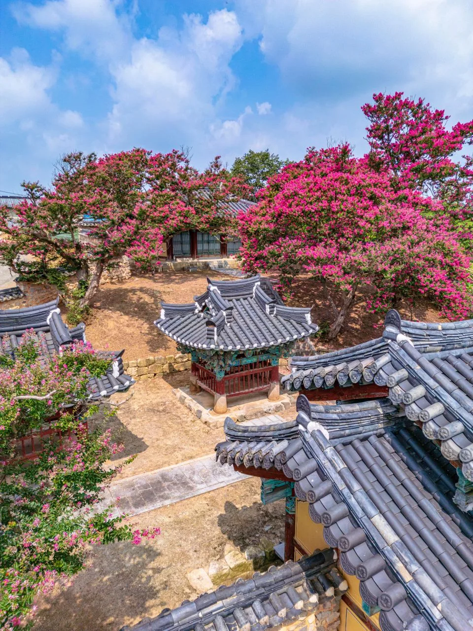 Photo: Korea Tourism Organization Photo Gallery (Taein-myeon, Jeongeup-si, Jeonbuk State) · Kogl (Korea Open Government License)
- Shared-use (pedestrian) sections: The riverside path may look like a dedicated bike road, but parts of it are actually shared with pedestrians. Locals out for a stroll, strollers, or a dog on a leash can suddenly cut across your line, so slow down, and before passing, ring your bell or call out “passing on your left.”
- Watch your speed: Weekend mornings and evenings are when the urban sections see the most foot traffic. I’d recommend keeping it under 20 km/h through these stretches.
- Bollards and access ramps: The posts that block car access and the ramps under bridges can momentarily hide what’s ahead. Always slow down going into corners.
- Ice and fallen leaves: Riverside paths hold a lot of moisture, so the surface can be frozen on winter mornings, and shaded sections under bridges often don’t thaw even at midday. In autumn, wet leaves are a real slip hazard.
- Night riding: Many stretches of riverside bike path have few or no streetlights. For night rides, a headlight (front) and a red taillight aren’t optional — they’re essential. Wear reflective clothing or bands too.
- Hydration: Let me stress again that there are no water fountains along the route. In summer, make a point of drinking every 20–30 minutes, and if you feel dizzy, get a headache, or notice you’ve stopped sweating, get into the shade immediately, rest, and call off the ride.
- High water on riverside paths: Right after heavy rain, or when heavy rain is forecast, the floodplain sections can be submerged or coated in mud. The day after it rains, check the surface conditions before heading in.
- In an emergency: Korea’s emergency numbers are 119 (ambulance/fire) and 112 (police). If you need foreign-language support, the tourist interpretation hotline 1330 is available.
Season, Weather & Gear
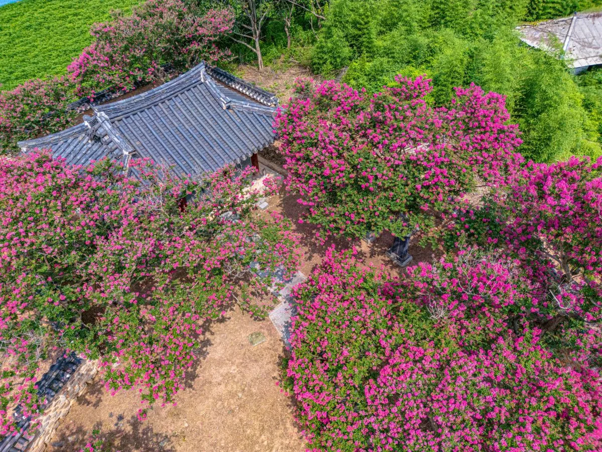 Photo: Korea Tourism Organization photo gallery (Taein-myeon, Jeongeup-si, Jeonbuk State) · Kogl (Korea Open Government License)
The best seasons are spring (April–May) and fall (September–October). That’s when the temperatures are mild and the riverside scenery is at its finest.
| Season | What to Expect | How to Prepare |
|---|---|---|
| Spring | Cherry blossoms, canola flowers — the riverside is at its best. Big temperature swings between day and night | A light windbreaker, gloves for early morning starts |
| Summer | Sweltering heat and humidity, direct sun exposure along the river, monsoon rains | Start early in the morning, carry at least 2 bottles of water, sun protection, cancel if heavy rain is forecast |
| Fall | Prime riding season. Silvergrass and autumn foliage | Pack an extra layer for the sharp afternoon temperature drop |
| Winter | Icy patches and strong river winds. Short daylight hours | Windproof gloves and ear covers, start late morning, head back early |
A word about river winds, because they deserve their own mention. On a route that follows a river, the terrain funnels the wind along the water’s direction — which means you’ll often get a headwind or tailwind relentlessly for the entire one-way stretch. If the ride out felt suspiciously fast, the ride back will be exactly that much harder. The smart move is to check the wind direction before you set off and plan your route so you take the headwind on the way out.
Essential Gear Checklist
| Category | Item | Notes |
|---|---|---|
| Safety | Helmet | Korean road traffic law includes a bicycle helmet requirement |
| Safety | Front and rear lights | Essential at night, in tunnels, and on overcast days |
| Repairs | Portable pump or CO2 | No air pumps along the route |
| Repairs | Patch kit, spare tube, tire levers | The basic self-repair set |
| Repairs | Multi-tool (hex wrenches) | For adjusting your saddle and handlebars |
| Fuel | At least 2 water bottles | No water fountains |
| Fuel | Energy bars, bananas, and other ride food | For the stretches with no resupply points |
| Misc | Power bank | Map apps drain your battery fast |
| Misc | Bike lock | For meal and restroom stops |
| Misc | Sunscreen and sunglasses | There’s very little shade along the river |
Tips for International Travelers
 Photo: Korea Tourism Organization Photo Gallery (Taein-myeon, Jeongeup-si, Jeonbuk State) · KOGL (Korea Open Government License)
Route name
- Korean: 정읍 정읍천 자전거길
- Romanized: Jeongeup Jeongeupcheon Jajeongeo-gil (Jeongeupcheon Bike Path)
- Place names: 정읍 = Jeongeup, 전라북도 = Jeollabuk-do
- River name: 정읍천 = Jeongeupcheon (-cheon means “stream”)
When asking locals or searching in a map app, saying “Jeongeupcheon jajeongeo-gil” (Jeongeupcheon Bike Path) will generally get you understood.
A Practical Guide to Korea’s Bike Certification System
Important: this route is NOT part of Korea’s cross-country bike path certification system. What follows is general information about how the certification system works in Korea — you can’t collect stamps on this course. Think of it as a reference for anyone also planning to ride the official cross-country routes (Hangang, Namhangang, Nakdonggang, Geumgang, Yeongsangang, and so on).
- Bike Passport: Korea’s cross-country certification system has its own dedicated passport booklet. The official website is essentially Korean-only, and the process involves things like Korean identity verification (a Korean phone number or ID) or may not accept foreign-issued cards, so buying one online from overseas in advance is generally difficult. As a result, most foreign riders simply buy one in person, with cash, at a staffed certification center once they arrive. Staffed centers are located at major hubs like the Hangang (Han River) area.
- Unmanned certification centers: Most certification centers along the cross-country routes are unmanned. They look like small red telephone booths, with a stamp and ink pad hanging inside. Using them is simple — open your passport to the page for that particular center and press the stamp firmly onto it. They’re available 24 hours a day, free of charge, with no staff around.
- Completion rewards: Once you’ve filled in every stamp for a section, you get your passport verified at a staffed certification center and receive a section completion sticker. Complete a major course like the full cross-country route and, as is generally known, you’re awarded a completion certificate and medal.
- On this course: No need to go hunting for stamp booths. Just enjoy the scenery and the ride, pure and simple.
Coming without a bike (Bike rental)
- Renting locally in Jeongeup: Jeongeup isn’t a big city like Seoul or Busan, so don’t expect large-scale tourist bike rental infrastructure. There may be local bike shops or a city/county-run rental program, so your safest bet is to check with Jeongeup City Hall or a local tourist information center before your visit. You can call the tourist interpretation hotline at 1330 for help in English, Japanese, or Chinese.
- Ttareungi (Seoul Bike): If you want to try cycling in Seoul, the city’s public bike-share system, Ttareungi, is the most accessible option. It has an English-language app and accepts foreign-issued cards, making it easy for visitors to use. That said, Ttareungi only operates within the Seoul area — you can’t use it in Jeongeup.
- Bringing your own bike: A folding bike packed into a bike bag makes riding Korea’s intercity buses and trains far easier. Bringing a full-size bike on board as-is can be restricted depending on the route and vehicle, so I strongly recommend the folding bike + bag combination.
Navigation apps
In Korea, Google Maps cycling directions simply don’t work properly. Due to Korean government regulations on exporting map data, walking and cycling navigation are heavily restricted. Make sure you install the Korean apps below.
| App | Features | Usability for foreigners |
|---|---|---|
| KakaoMap (카카오맵) | Cycling mode, detailed bike path display | English interface available |
| Naver Map (네이버 지도) | Integrated cycling routes and public transit | English, Japanese, and Chinese support |
| Google Maps | Inaccurate cycling routes | Backup only, for transit and place searches |
Practical tips
- Install the apps before you arrive in Korea. Searching in romanized text works, but pasting the Korean text “정읍천” into the search gets you far more accurate results.
- Cell coverage can drop out in spots along the riverside sections, so save your route in advance (take offline screenshots).
- For internet access, I recommend a travel SIM or pocket Wi-Fi. Most map and payment apps assume an always-on connection.
- Convenience stores (CU, GS25, 7-Eleven, Emart24) mostly accept foreign cards, but small restaurants and markets may require cash (Korean won), so carry some small bills.
Other Bike Paths Nearby
- Seomjingang Bike Path: 154km Course & 8 Certification Centers — about 62km away as the crow flies
- Yeongsangang Bike Path: Course, Distance & 7 Certification Centers — about 63km away as the crow flies
- Sinan Jeungdo Bicycle Island: Course, Distance & Certification Centers — about 91km away as the crow flies
📍 Jeongeupcheon Bike Path: Course, Distance & Certification CentersLocation
Contact: bumseok.view [at] gmail [dot] com
Comments