Sinan Jeungdo Bike Island: Route, Distance, and Certification Centers
Cycling · Published 8/14/2026 ·
자전거길 트랙·시설 (공공데이터: 행정안전부 국토종주 자전거길 DB) · 🏆인증센터 💧급수대 🚻화장실 🔧공기주입기 · 지도 © OpenStreetMap ⤓ GPX 다운로드
At a Glance
| Metric | Rating |
|---|---|
| Course difficulty | ★★☆☆☆ |
| Supplies & amenities (certification centers, water stations) | ☆☆☆☆☆ |
| Certification centers (0) | ☆☆☆☆☆ |
| Seasonal difficulty — Spring | ★★☆☆☆ |
| Seasonal difficulty — Summer | ★★★★☆ |
| Seasonal difficulty — Autumn | ★★☆☆☆ |
| Seasonal difficulty — Winter | ★★★☆☆ |
※ Source: Cross-Country Bicycle Route database, Ministry of the Interior and Safety of Korea · Seasonal ratings are rough guides
Overview
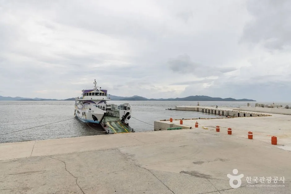
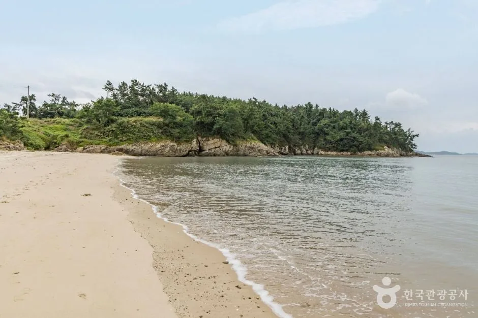 Photo: Korea Tourism Organization photo gallery (Ujeon-ri San 37-6) · KOGL
Sinan Jeungdo Bicycle Island is a loop route that takes you all the way around a single island in Jeungdo-myeon, Sinan-gun, Jeollanam-do. It’s not a route that climbs mountains — it stays low, threading past salt flats and tidal mudflats, pine groves and beaches, so the view stays wide open the whole time you’re pedaling. Jeungdo has a reputation as an island that slows you down, and the riding genuinely lives up to that. This isn’t a course for chasing personal bests. It’s the kind of road where you stop for photos, watch the clouds drift over the salt fields, and then get going again.
There are basically four ways to make use of it.
One: a relaxed day ride. The easiest plan is to get to the island in the morning, ride the loop, and spend the afternoon wandering the salt fields and exhibition spaces. Since it’s a loop, you can leave your bags at your accommodation or in the car and set off light.
Two: a Brompton or mini-velo paired with public transit. Bringing a folding bike and riding only on the island suits this route perfectly. The road surface doesn’t undulate much, so small wheels aren’t a burden, and because it’s a loop you come right back to wherever you stashed the folded bike.
Three: an entry-level ride for families and beginners. No steep climbs dominate the route, and you can bail out and turn back at any point, which makes it a solid first island ride. That said, because of the resupply problem I’ll get into below, you absolutely have to bring water and snacks with you.
Four: one leg of an overnight trip through the southwestern islands. If you’re spending a few days working through the Sinan and Mokpo area, it works well to slot the Jeungdo loop in as the main ride for one of those days and give the rest over to walking tours and food.
Course Information
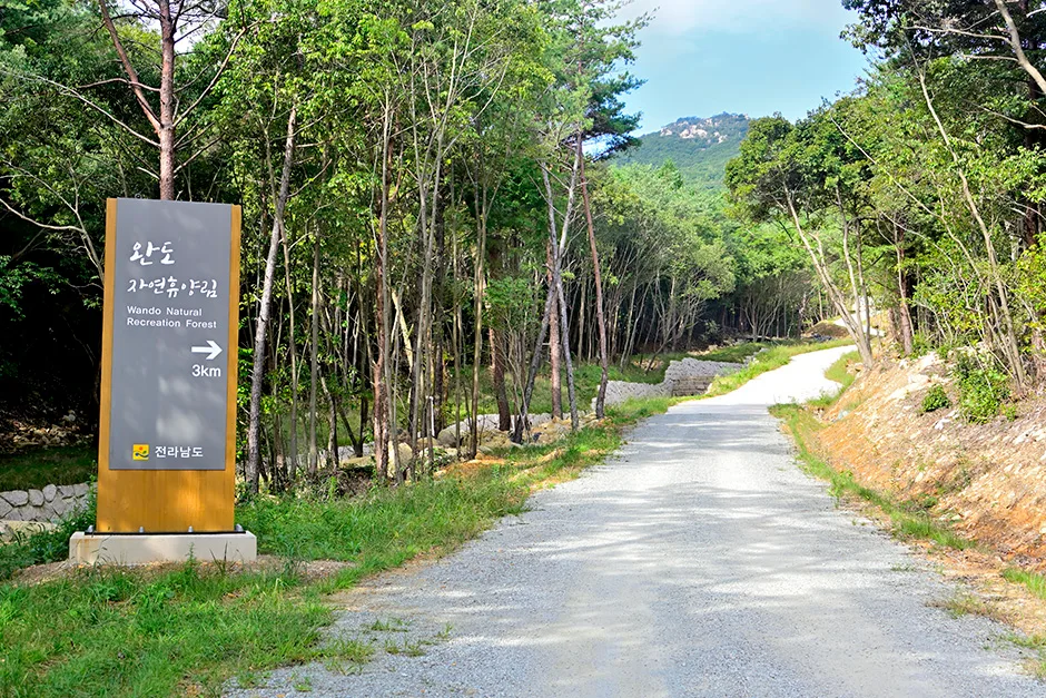
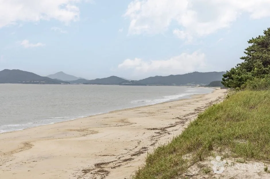 Photo: Korea Tourism Organization Tourism Photo Gallery (Jido-Jeungdo Road 1684) · KOGL
The route is a loop, so the start and finish are the same place. Most people treat the entrance to Jeungdodaegyo Bridge or the village center of Jeungdo-myeon as the practical starting point, but wherever you begin, you’ll come right back around to it. Clockwise or counterclockwise both work, so check which way the wind is blowing that day and pick the direction that puts the headwind in the first half — it’s easier that way.
The main stops along the way tell you everything about the island’s character. The area around Taepyeong Salt Farm is the signature stretch of this route, with salt pans divided up like a checkerboard and rows of salt warehouses lining both sides of the road. On calm days the whole sky reflects off the surface of the pans, and this is the spot where you’ll end up stopping the longest. The Salt Museum, connected to the salt farm, makes a natural place for a mid-ride break.
Head south on the island and you’ll pass Ujeon Beach and, just behind it, the Hanbando Pine Forest. Once you’re in among the pines, the temperature genuinely feels lower even in summer, so on hot days this is the stretch to rest in. Around Jjangttungeo Bridge, which runs way out over the tidal flats, there’s plenty to look at at low tide when the mudflat creatures come out. The bridge deck itself is mainly for pedestrians, so it’s safer to walk your bike across.
The surface is mostly paved road linking the coastal route with the villages, with some sections shared with car traffic. Rather than expecting a fully separated riverside bike path from end to end, it’s more accurate to think of this as a course that strings together low-traffic island roads. There are no big climbs, but the coastline serves up repeated short ups and downs — and above all, the wind is what actually sets the difficulty. On the open terrain of a West Sea island, the wind will use your legs up more than the flat profile on the map suggests.
This route isn’t part of the Korea Cross-Country certification program, so there’s no stamp to collect along the way. Ride it in whatever order and direction you like, and linger as long as you want wherever you feel like it.
Food in the Area
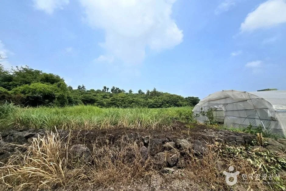
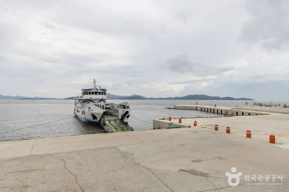 Photo: Korea Tourism Organization photo gallery (Jidojeungdo-ro, 1997) · KOGL
Jeungdo and the wider Sinan–Mokpo region are known for food built around the tidal flats and salt farms of the southwestern coast. Rather than pointing you to specific restaurants, here’s a rundown of what you’ll generally find around here.
- Mudskipper soup and pancakes: Dishes made with the mudskippers that live in the tidal flats, commonly billed as Jeungdo’s signature food. The soup is rich and easy on the stomach, which makes it a good recovery meal after a ride.
- Octopus dishes: Sinan and Mokpo are famous for small octopus, so you’ll find it served as yeonpo-tang or nakji-horong.
- Seasonal fish: Croaker, pomfret, rockfish and whatever else is running — usually steamed, braised, or served raw.
- Glasswort and sea-salt products: This is salt-farm country, so shops near the tourist spots typically stock processed goods made with sun-dried salt and glasswort, plus salted ice cream and snacks.
A warning about resupply: On Jeungdo, the shops cluster in the village center and around the tourist hubs, and the salt-farm and coastal stretches in between have essentially no convenience stores or restaurants — long stretches with nowhere to resupply. The city-riding approach of “I’ll just buy something along the way” doesn’t work here. Island restaurants also tend to close early, and some shut down entirely in the off season, so pick a lunch time in advance and plan your route so you’re passing through the village stretch right about then.
Supplies & Facilities
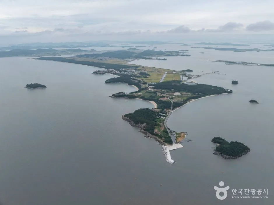 Photo: Korea Tourism Organization tourism photo gallery (Mun Jun-gyeong-gil 188) · KOGL
Here’s what the course has to offer, facility-wise.
| Facility | Count |
|---|---|
| Certification centers | 0 |
| Water stations | 0 |
| Restrooms | 0 |
| Air pumps | 0 |
That means there are no bike-path-specific facilities registered anywhere along this route, so preparation falls entirely on you. Here’s how I’d handle it in practice.
- Water: Fill your bottles to the brim before you set off, and in hot weather bring a spare. It’s safest to assume there’s nowhere along the way to top up.
- Restrooms: There are no course restrooms, so plan around the tourist stops you pass — villages, beaches, exhibition halls — and go while you have the chance.
- Pumps and repairs: With no air pumps on the route, you absolutely need to leave with a hand pump or CO₂ cartridges, a spare tube, tire levers, and a multi-tool. If you flat on an island, help is a long time coming.
- Certification booklet and stamps: This route isn’t part of the national cross-country certification program, so there are no certification centers and no stamps to collect. No need to pack the booklet, and no wandering around hunting for a stamp.
Getting Back
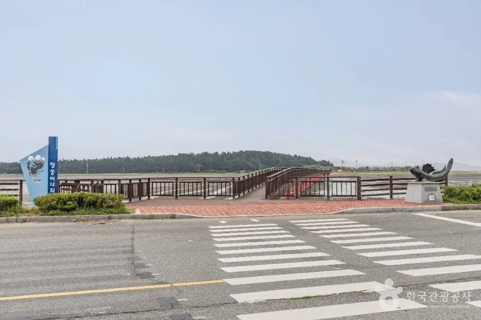 Photo: Korea Tourism Organization photo gallery (Daecho-ri) · KOGL
Since it’s a loop course, one lap brings you right back to where you started. There’s no need to arrange a separate ride home, and if you left your gear in the car or at your accommodation, you pick it up the moment you finish. That alone makes planning the day remarkably simple.
Safety and Things to Watch For
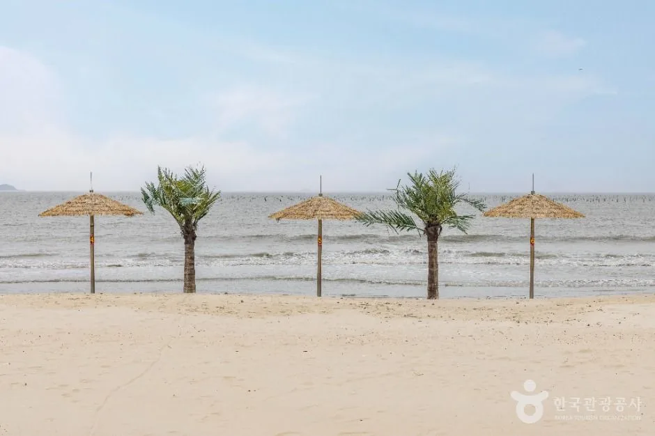 Photo: Korea Tourism Organization photo gallery (Mun Jun-gyeong-gil 459-2) · KOGL
- Shared-road sections: Where you’re sharing the road with cars, keep right and ride single file. It’s also worth running a rear light even in daylight so drivers coming up behind you can spot you. Island roads see plenty of farm equipment and freight trucks.
- Mixed pedestrian traffic: The beaches, the tidal-flat bridges, and the area around the salt farm exhibits all get a lot of foot traffic. Slow right down, and walk your bike across structures and boardwalk sections.
- Wind: Out on the open salt flats and coastal stretches, a strong crosswind will push you off your line. Keep a light grip on the bars, drop your upper body a little, and leave yourself extra room when a vehicle passes alongside.
- Road surface: Some coastal stretches have sand, dirt, and crushed shell fragments blown across them. It gets slick when wet, so ease off the speed before you commit to a corner.
- Ice: On early winter mornings, shaded sections and bridge decks can be frozen. Wait until the sun’s properly up before you set out.
- Night riding: Long stretches of island road have few or no streetlights. Riding after dark without a headlight, a rear light, and a reflective vest isn’t something I’d recommend.
- Water and dehydration: There are no water stops on this route. Sip a little at a time before you actually feel thirsty, and in summer bring an electrolyte drink or salt tablets as well.
Season, Weather, and Gear
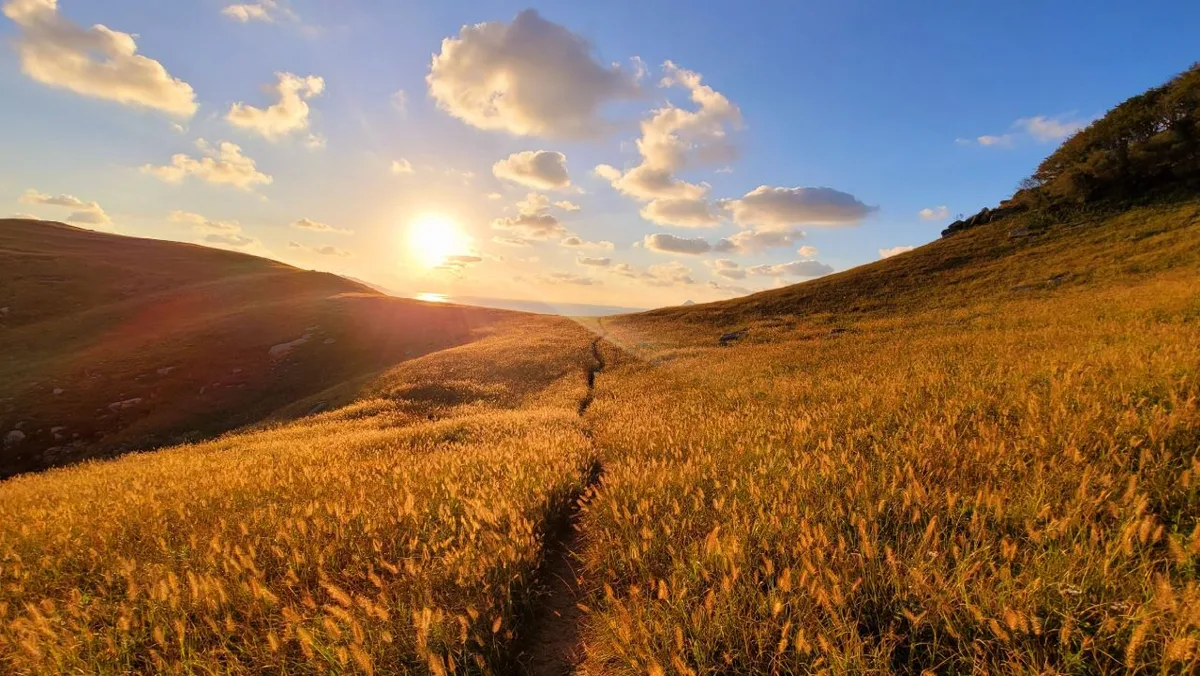
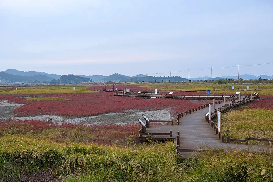 Photo: Korea Tourism Organization photo gallery (1053-11 Jidojeungdo-ro) · KOGL
The best seasons are spring (April–June) and autumn (September–November). The temperatures are mild and the air is clear, which is when the salt flats and tidal mudflats look their best.
- Summer: There’s almost no shade along the salt flat and coastal sections, so you’re in direct sun the whole way. Avoid the middle of the day — ride early in the morning or once the sun starts dropping — and use the pine forest stretch as your rest stop. Sunscreen, arm and leg covers, and extra water are non-negotiable. During the monsoon and typhoon season you get strong winds and poor visibility at the same time, so check the forecast.
- Winter: The temperature itself isn’t the problem — it’s the hard sea wind off the West Sea. The wind chill drops sharply, so bring a windproof jacket, long gloves, a neck gaiter, and ear covers.
- Tides: The mudflats are far more striking at low tide. If you want to see the area around Jjangttungeo Bridge properly, check the tide table for your visit date ahead of time and plan around it.
Must-have gear: helmet, front and rear lights, a puncture repair kit (spare tube, pump, tire levers, multi-tool), plenty of water, snacks, sunscreen, a light windproof jacket, and a power bank. Pack on the assumption that there are no repair facilities anywhere on the route.
Tips for International Visitors
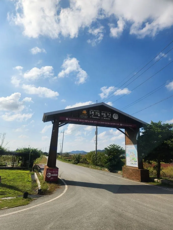 Photo: Korea Tourism Organization photo gallery (Jeungdong-ri) · KOGL
① Romanized names along the route Sinan Jeungdo Bicycle Island — Jeungdo-myeon, Sinan-gun, Jeollanam-do. The main landmarks are Jeungdodaegyo Bridge, Taepyeong Salt Farm, the Salt Museum, Ujeon Beach, Jjangttungeo Bridge, and Hanbando Pine Forest. When you’re asking for directions on the island, the surest trick is to pull up the Korean spelling on your phone and show it to whoever you’re asking.
② Certification — this route isn’t part of it This course is not included in the Korea Cross-Country Cycling Certification program. There are zero certification centers along the way, so there’s no stamp to collect and nothing to submit for a completion certificate. Just plan it as a ride you do for the scenery. If you’re hoping to take part in the certification program on other routes like the Han River or Nakdong River, the easiest approach is to buy your certification passport in person at a staffed certification center or an authorized seller — and it’s worth carrying a little cash for that.
③ If you’re arriving without a bike Seoul’s public bike share, Ttareungyi, has an English app and accepts foreign cards, which makes it easy for visitors — but it only operates within Seoul, so it’s no help on Jeungdo. On the island, bike rentals are usually run by the resorts, guesthouses, and other places you’d stay, or by tourist facilities. So sort it out when you book: ask whether rentals are available, how many bikes they have, what they cost, and whether helmets are included. This is an island — turning up and hoping to find a rental shop on the spot is a bad bet. If you’re bringing your own bike, a folding bike in a bag travels best on public transport.
④ Map apps In Korea, Google Maps’ cycling directions simply don’t have enough data to be useful. Use these instead:
- KakaoMap — has a cycling mode, an English interface, and reasonably accurate bike lane data.
- Naver Map — English, Japanese, and Chinese interfaces, and it’s strong at cycling routes and finding amenities along the way.
Both are free and you can install and use them with a foreign account. Signal can get patchy in places out on the island, so saving an offline map of the area before you set off — or just screenshotting the course — buys you some peace of mind. Pairing that with a cycling computer that reads GPX files is even safer. Emergency numbers are 119 (rescue and ambulance) and 112 (police), and tourist interpretation help is available on 1330 (English, Japanese, Chinese, and more).
Other bike paths nearby
- Sinan Jaeun & Imja Island bike route — 81 km one way — about 15 km as the crow flies
- Yeongsan River bike path: route, distance, and all 7 certification centers — about 50 km as the crow flies
📍 Sinan Jeungdo Bike Island: Route, Distance, and Certification CentersLocation
Contact: bumseok.view [at] gmail [dot] com
Comments