Wando Arboretum Bike Path: Course, Distance & the Ride Back
Cycling · Published 8/10/2026 ·
자전거길 트랙·시설 (공공데이터: 행정안전부 국토종주 자전거길 DB) · 🏆인증센터 💧급수대 🚻화장실 🔧공기주입기 · 지도 © OpenStreetMap ⤓ GPX 다운로드
At a Glance
| Metric | Rating |
|---|---|
| Course Difficulty | ★★☆☆☆ |
| Supplies & Amenities (certification centers, water stations) | ★☆☆☆☆ |
| Certification Centers | ☆☆☆☆☆ (0 locations) |
| Seasonal Difficulty — Spring | ★★☆☆☆ |
| Seasonal Difficulty — Summer | ★★★★☆ |
| Seasonal Difficulty — Fall | ★★☆☆☆ |
| Seasonal Difficulty — Winter | ★★★☆☆ |
※ Source: Ministry of the Interior and Safety of Korea, Cross-Country Bike Path Database · Seasonal ratings are for reference only
Overview
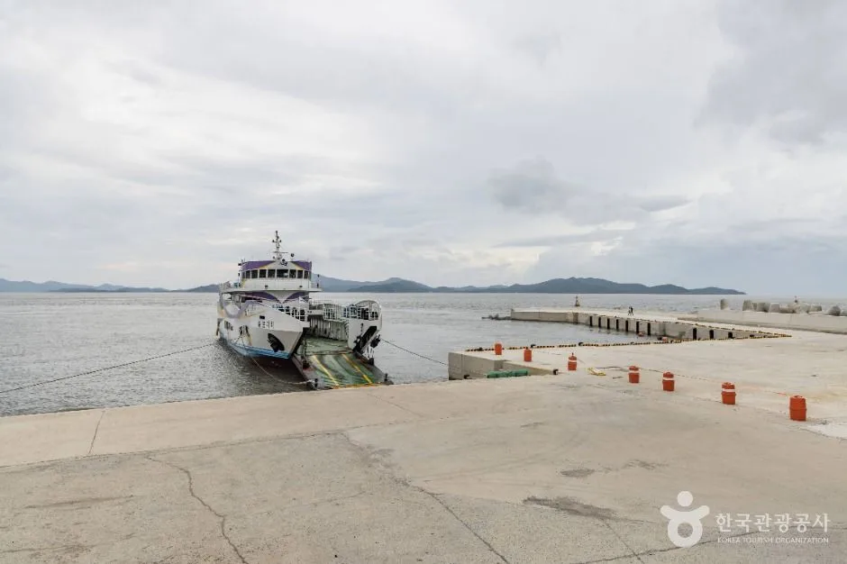
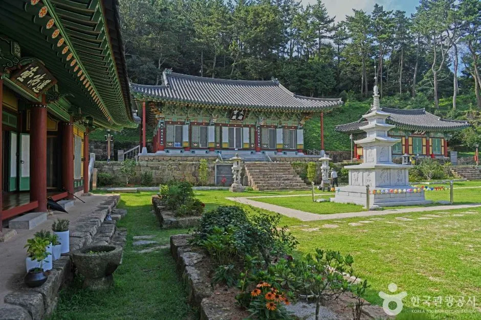 Photo: Korea Tourism Organization photo gallery (101-1 Sinheungsa) · Kogl (Korea Open Government License)
The Wando Arboretum Bicycle Road (Wando Sumogwon Jajeongeo-gil) is a one-way route set on Wando, an island county in Jeollanam-do at the southernmost tip of the Korean Peninsula. It’s a different animal from the big cross-country routes that stretch along the Han or Nakdong rivers as part of the Four Rivers trail network. What makes this road appealing isn’t scale — it’s density. The green of the arboretum area with its lush warm-temperate forest, the coastal views you only get on an island, and the quiet rhythm of rural back roads that city bike paths just can’t offer, all packed into a single course.
There are basically four ways to make use of it.
First, a same-day out-and-back ride. The one-way distance isn’t intimidating, so you can comfortably set off in the morning, reach the endpoint around lunchtime, and retrace your route in the afternoon. The easiest approach is to book a place in Wando’s town center and ride out light, without any luggage.
Second, as one leg of a southern island tour. The Wando area is laced with bridge-connected islands and coastal roads, so this route slots nicely into an overnight south-coast tour as a single day’s segment. The typical plan: knock out this course on day one, spend the night on Wando, then extend along the nearby coastal roads the next day.
Third, pairing a mini velo or folding bike with public transit. Folding up a Brompton or a Dahon, taking the express bus or train, and unfolding it on arrival works especially well here. The distance is modest and there’s no string of brutal climbs, so small wheels can handle it just fine.
Fourth, partial rides for families and beginners. You don’t have to do the whole thing — an out-and-back on just the flat stretch around the arboretum makes for a perfectly satisfying ride on its own.
Course Info
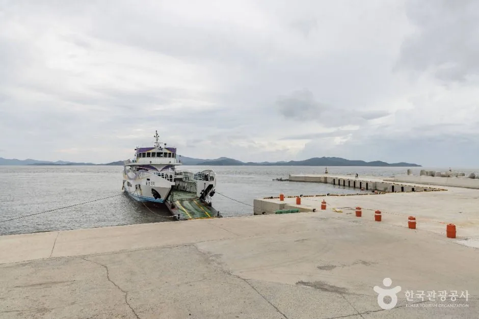
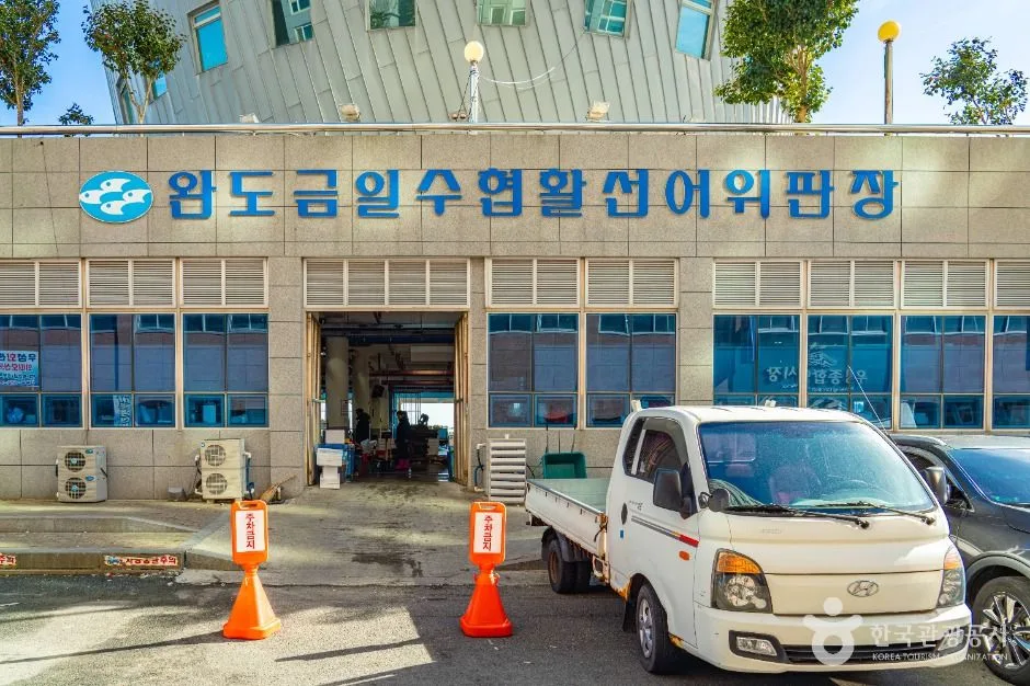 Photo: Korea Tourism Organization tourism photo gallery (26 Haebyeongongwon-ro 124beon-gil) · Kogl (Korea Open Government License)
This is a one-way route that starts around Wando Arboretum and follows the coastal and inland roads of Wando’s main island. The arboretum sits in a warm-temperate evergreen broadleaf forest zone — a rarity in Korea — so right from the starting point, the vegetation looks strikingly different from any other bike route in the country. Camellias, machilus trees, and red-leaved oaks that hold their leaves through winter line both sides of the road, which means you get scenery that stays green even in the dead of winter.
The road surface is a different animal from the Han River or Nakdong River bike paths. This isn’t one of those routes where a dedicated, car-free path runs for dozens of kilometers along a riverbank levee — it’s closer to an alternating mix of provincial and county road shoulders and shared-use bike lanes. So it’s safest to go in expecting stretches where you’ll be sharing the pavement with cars. The asphalt is generally decent, but being a coastal road, you may hit patches of sand, fallen leaves, or wet surface here and there.
The elevation profile isn’t perfectly flat, either. It’s island terrain, so as you trace the coastline you’ll typically face short climbs over and over as you cross headlands and bays. That said, there’s no serious sustained climbing — nothing that gains hundreds of meters in one go — so as long as you’ve got forgiving gearing, beginner and intermediate riders can handle it just fine.
The scenic highlight is, hands down, the stretches where you can see the sea and the forest at the same time. On your left, the islands of the Dadohae archipelago float in overlapping layers; on your right, the evergreen forest casts its shade — and the scene keeps repeating. Wando is a major abalone farming region, so along the coastal sections you’ll also encounter a distinctive grid-like seascape formed by the dense rows of aquaculture buoys floating on the water.
One thing worth knowing up front: this route is not part of the national cross-country certification system. There are no certification centers along the way, and no stamp-collecting procedure to certify that you’ve completed a section. Approach it as a trip for enjoying the scenery and the region — not for collecting certification stamps — and you’ll have the right idea.
Nearby Eats
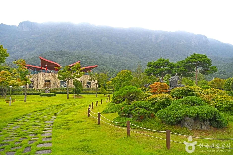
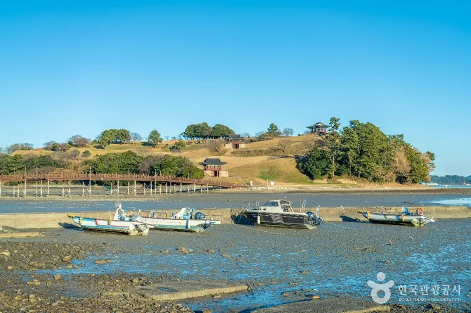 Photo: Korea Tourism Organization photo gallery (1380-138 Cheonghaejin-ro) · Kogl (Korea Open Government License)
When Koreans think of jeonbok (abalone), Wando is the first place that comes to mind. It’s widely known that a significant share of the country’s abalone production comes from this area, so around Wando’s town center and harbor you’ll have no trouble finding dishes like abalone sashimi, abalone porridge (jeonbok-juk), grilled abalone, and abalone mulhoe (chilled raw fish soup). For a mid-ride or post-ride recovery meal, abalone porridge is generally considered the safe bet — it’s easy on the stomach and not overly salty, which makes it gentle on the body after you’ve been sweating hard.
Seaweed is another local specialty. Gim (unseasoned dried laver), miyeok (sea mustard), and dasima (kelp) farming thrives here, and in winter, soup made with maesaengi (a silky green seaweed) is usually touted as the seasonal delicacy. Beyond that, as you’d expect from a coastal town in the Namdo region, you’ll commonly find sashimi from white-fleshed fish like flounder and rockfish, octopus dishes, and Namdo-style baekban — set meals that come with an impressive spread of side dishes.
From a resupply standpoint, there’s one thing you absolutely need to keep in mind: this route is nothing like the riverside paths around Seoul, where convenience stores line up one after another. Shops and restaurants are concentrated in settlements like Wando’s town center and the township seats, and in the coastal and forest stretches between them, you can go for kilometers without seeing a single store. This is especially true in the forested section toward the arboretum and along the more remote stretches of coastline.
Also, shops in small rural towns often keep short hours and close on unpredictable days. Rolling in late in the afternoon hoping to grab a meal, only to find every place shuttered — it really does happen. So on this course, more than most, make it a habit to top up your water and ride snacks every time you pass through a village.
Resupply & Facilities
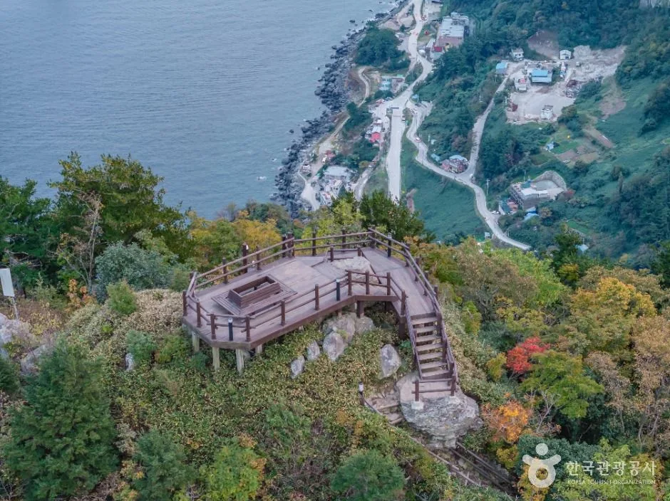
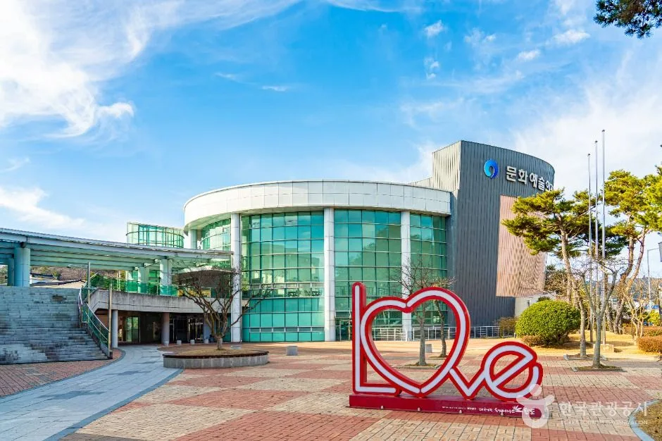 Photo: Korea Tourism Organization Tourism Photo Gallery (55, Gaepo-ro 159beon-gil) · KOGL (Korea Open Government License)
You need to head out with a clear picture of what’s available — which is to say, not much. This route has zero certification centers, zero restrooms, zero water fountains, and zero air pumps on record. In other words, there are no dedicated bike-path amenities maintained along the course. The unmanned booths, water dispensers, and public pumps you’d normally count on along the riverside bike paths? Don’t expect any of them here.
That doesn’t mean you’re out of options, though. In practice, here’s how you handle it:
| Need | Realistic workaround |
|---|---|
| Water | Village convenience stores and supermarkets, restaurants, tourist information centers |
| Restrooms | Arboretum facilities, parks and parking lots, township offices, gas stations, restaurants |
| Air | Bring a portable pump or CO₂ cartridges — non-negotiable |
| Flats & mechanicals | Assume you’re fixing it yourself. Two spare tubes recommended |
| Emergencies | Save a local taxi number before you go |
I’d recommend starting with at least two bottles (1.5 liters or more total). In summer, you’ll want even more than that. Figure that bike shops only exist in the larger towns, so it’s safest to pack your own basic repair kit, including chain lube and a multitool.
As I mentioned earlier, this route isn’t part of the certification program, so none of the passport, stamp, or completion-certificate procedures apply here. If you’re interested in the cross-country certification, check the certification program explanation in the tips for international travelers below — just remember that you’d need to do all of that on an official certification route like the Four Rivers paths, not on this course.
Getting Back
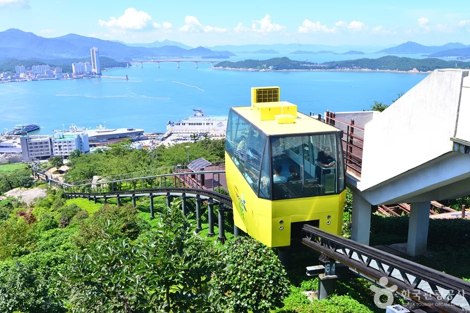 Photo: Korea Tourism Organization Photo Gallery (Jangbogo-daero 332) · KOGL (Korea Open Government License)
This is a one-way route, but the return trip isn’t much of a burden. At 39.2 km each way, simply retracing your path puts the round trip at about 78.4 km — a distance you can comfortably handle in a single day. There’s no need to arrange separate long-distance transportation for the way back.
In fact, there’s one more reason I’d actually recommend riding it both ways. On a coastal road, the scenery changes completely depending on which direction you’re heading. You’ll have the ocean on your right going out and on your left coming back, so even though it’s the same road, it genuinely feels like riding a different course. The angle of the light shifts too, and the afternoon return leg often turns out to be the more memorable half.
If you’re worried about your legs holding up, another option is to leave your car at the starting point, ride just the one-way stretch, and come back by local taxi or city bus. Just keep in mind that rural buses run infrequently, so it’s a good idea to check the timetable in advance.
Safety & Precautions
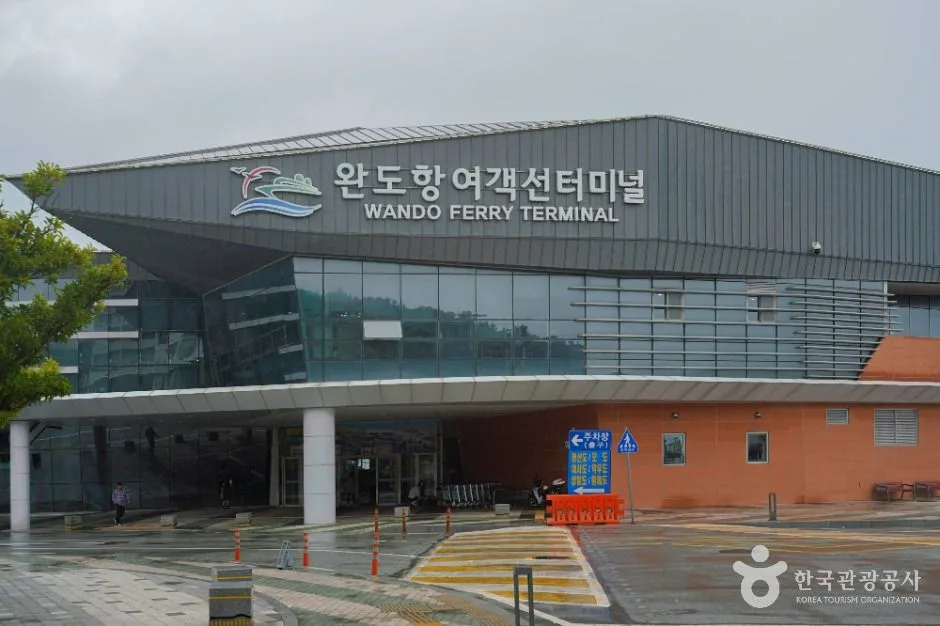 Photo: Korea Tourism Organization photo gallery (339 Jangbogo-daero) · KOGL (Korea Open Government License)
Being prepared for the shared-road sections is the key to staying safe on this course. There are stretches where you’ll be sharing the pavement with cars, so awareness of what’s behind you really matters. I’d recommend keeping your rear light on in daytime-running mode even during the day. Trucks and fishing-industry vehicles may pass by, so hold a steady line and don’t drift too far out to the left.
Keep the crosswinds along the coastal sections firmly in mind. On island coastal roads, strong side gusts can hit you out of nowhere wherever the terrain opens up. Disc wheels or deep-section rims aren’t a good fit for this course. On windy days, keep a light grip on the bars and lower your upper body for stability.
Debris on the road surface is another thing to watch for. Coastal roads can be scattered with sand, bits of broken shells, and seaweed remnants, and they get slippery when wet. Make it a rule to slow down before entering corners.
Winter ice is nothing to take lightly, even though Wando is a mild region. Black ice can form on shaded forest stretches, on bridges, and in the early morning hours.
Night riding is not recommended. A good portion of the route has no streetlights, and there’s always the chance of wildlife darting out. If you do get caught out after dark, use a front light with plenty of output (400 lumens or more) and wear reflective clothing.
Hydration management is my final point of emphasis. There are no water stations on this course, so don’t ride by “drink when you’re thirsty” — instead, drink on a regular schedule, every 20–30 minutes. In summer, it’s a good idea to add electrolyte drinks or salt tablets as well.
Season, Weather, and Gear
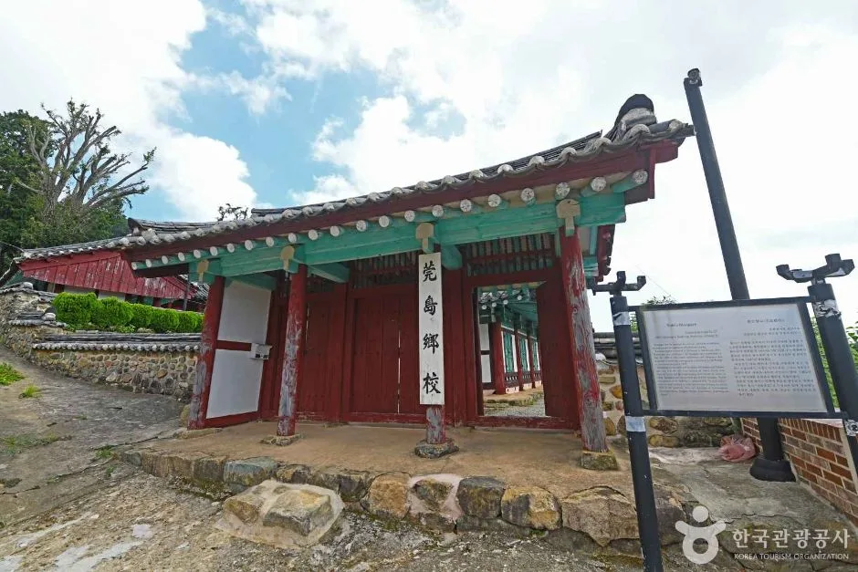 Photo: Korea Tourism Organization Photo Gallery (Jukcheong-gil 94-73) · KOGL
The best seasons to ride are spring (April–May) and fall (October–November). During these months, Wando enjoys mild temperatures and low humidity — ideal riding conditions. Spring is especially rewarding: the warm-temperate forest comes alive with camellias and other evergreens, making the arboretum section a real highlight.
Summer (July–August) is the toughest season. Along the south coast, it’s not so much the heat itself as the humidity that wears you down. Combine that with the fact that there are no water stations on this course, and the risk goes up considerably. If you do ride in summer, I’d recommend starting between dawn and 9 a.m. and wrapping up before noon. Also keep in mind that June through September falls within typhoon season, so always check the weather forecast before heading out.
Winter (December–February) is surprisingly decent. Wando has some of the mildest winters in Korea — days below freezing are rare, and thanks to the evergreen forests, you can still enjoy green scenery even in the dead of winter. That said, the sea wind drops the perceived temperature significantly, so a windproof jacket and neck gaiter are must-haves.
Here’s a rundown of the essential gear:
| Category | Items |
|---|---|
| Essential | Helmet, front and rear lights, portable pump, spare tube and tire levers, multi-tool, 2 water bottles |
| Strongly recommended | Windbreaker, sunscreen, sunglasses, gloves, power bank |
| Seasonal | (Summer) electrolyte drinks, cooling towel / (Winter) neck gaiter, full-finger gloves, windproof tights |
| Other | A bit of cash (for small rural shops), local taxi phone numbers |
Tips for International Travelers
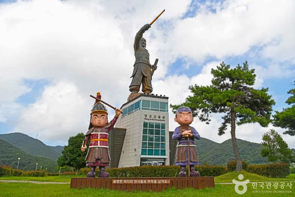 Photo: Korea Tourism Organization Photo Gallery (Cheonghaejin-ro 1565-2) · Kogl (Korea Open Government License)
① Route Names in Roman Letters
- Route name: Wando Sumogwon Jajeongeo-gil (Wando Arboretum Bicycle Road)
- Place names: Wando Wando, Wando County Wando-gun, South Jeolla Province Jeollanam-do
- Starting point: Wando Arboretum
- Useful words: jajeongeo (bicycle), jajeongeo-gil (bike path), daeyeo (rental), mul (water), hwajangsil (toilet)
When asking a taxi driver or a local for directions, showing the name in Korean characters on your phone screen works far better than any romanization. I’d recommend saving the Korean text “완도수목원” (Wando Arboretum) on your phone before you go.
② A Practical Guide to the Certification System — This Route Isn’t Part of It
Let me be clear up front: the Wando Arboretum Bicycle Road is not part of Korea’s national cross-country certification system. Riding this course won’t earn you any stamps — there’s no certification center here, and it doesn’t count toward a completion certificate. What follows is for when you take on the actual certification routes elsewhere in Korea (the Hangang, Nakdonggang, Geumgang, Yeongsangang rivers, and so on).
The Bike Passport — Korea’s cross-country certification system runs on a paper passport that you fill with stamps. Realistically, the only reliable way to get one is to buy it in person at a staffed certification center. The official certification website is Korean-only, and advance online purchases often fail due to foreign-issued card payment issues or Korean identity verification requirements — so you’ll save yourself a headache by just buying one at the first staffed center you reach after arriving in Korea.
How to use unstaffed certification centers — Most certification centers are unstaffed. Look for a small booth that looks like a red phone box. Inside, you’ll find a stamp attached by a chain, and you stamp the corresponding square in your passport yourself. No staff, no fees. The stamps often have dried-out ink, so if it doesn’t print cleanly on the first try, press down firmly for a few seconds. Booth locations generally show up in map apps if you search for “인증센터” (certification center).
Completion rewards — The generally known procedure: complete a section and collect all of its stamps, and you can pick up a section completion sticker at a designated counter; finish the entire cross-country network, and you receive a completion certificate and medal. For exact issuing locations and conditions, your best bet is to ask at a certification center on site.
③ If You’re Coming Without a Bike
For this course, it’s safest to plan around bringing your own bike or securing a rental in advance. Wando is a small rural county, so you can’t count on a tourist-oriented rental shop being open year-round — and performance bikes like road bikes or MTBs are even harder to come by. I’d recommend checking with your accommodation or the Wando-gun tourist information center about rental availability before your visit.
Ttareungi (Seoul Bike) — Seoul’s public bike-share is one of the very few services with an English app that accepts foreign-issued cards. That said, it’s Seoul-only, so you can’t use it in Wando. Still, it’s a great way to get a feel for Korea’s cycling infrastructure while you’re in Seoul.
Bringing your bike on long-distance transport — A folding bike in a bag is generally easy to take on express buses and trains. For regular bikes, the rules vary by route and vehicle, so check before booking. From Seoul to Wando, the express bus is the usual choice.
④ Map Apps — If You Remember One Thing
Do not trust Google Maps for cycling directions in Korea. Due to Korea’s restrictions on exporting map data, Google Maps offers only limited turn-by-turn navigation here, and cycling mode in particular is inaccurate or simply unavailable.
Install these two apps instead. Both are free and downloadable with an overseas account.
| App | Features |
|---|---|
| KakaoMap | Cycling route mode, bike path overlay, partial English support |
| Naver Map | Comparatively better English interface, strong on transit and place info |
One practical tip: copying and pasting Korean names into the search bar is overwhelmingly more accurate than searching in Roman letters. Also, since mobile signal can be spotty on rural roads, download offline maps for the area before you set out — and if you use a GPS cycling computer, loading GPX files in advance is the most foolproof option. Navigation drains batteries fast, so treat a power bank as essential gear.
Other Bike Paths Nearby
- Goheung Geogeumdo–Sorokdo Bike Path: Route & Distance — about 42 km as the crow flies
- Yeongsangang River Bike Path: Route, Distance & 7 Certification Centers — about 76 km as the crow flies
- Shinan Jaeundo–Imjado Bike Path: 81 km One Way — about 80 km as the crow flies
📍 Wando Arboretum Bike Path: Course, Distance & the Ride BackLocation
Contact: bumseok.view [at] gmail [dot] com
Comments