Yeongsan River Bike Path: Route, Distance & 7 Certification Centers
Cycling · Published 7/31/2026 ·
자전거길 트랙·시설 (공공데이터: 행정안전부 국토종주 자전거길 DB) · 🏆인증센터 💧급수대 🚻화장실 🔧공기주입기 · 지도 © OpenStreetMap ⤓ GPX 다운로드
At a Glance
| Metric | Rating |
|---|---|
| Course difficulty | ★★★★☆ |
| Amenities (certification centers, water stations) | ★★★★☆ |
| Certification centers (7) | ★★★★☆ |
| Seasonal difficulty — Spring | ★★☆☆☆ |
| Seasonal difficulty — Summer | ★★★★☆ |
| Seasonal difficulty — Fall | ★★☆☆☆ |
| Seasonal difficulty — Winter | ★★★☆☆ |
※ Source: Ministry of the Interior and Safety’s national cross-country bike path database · seasonal ratings are for reference only
Overview
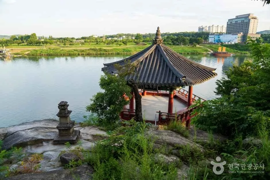
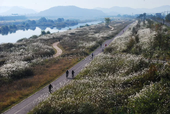 Photo: Korea Tourism Organization Photo Gallery (Jeonnam-Gwangju Metropolitan Area) · KOGL Type 1
The Yeongsangang Bike Path starts in Damyang, Jeollanam-do, and follows the river through Gwangju, Naju, Hampyeong, and Muan all the way to the southwestern port city of Mokpo. Setting off from Damyang — famous for its bamboo — the route winds down through broad plains alongside the slow-flowing Yeongsan River toward the sea in the southwest, and for most of the way it’s a gentle riverside course with almost no serious climbs. So this isn’t really a test of leg strength so much as the endurance to keep pedaling steadily over a long distance. With the river running wide and the sky open overhead, the scenery stays refreshing in every season, and since it’s part of the official cross-country certification route, there’s the added fun of collecting stamps along the way.
There’s more than one way to ride it.
- Overnight full-route ride: Since it’s a long one-way trip, the easiest approach is not to push too hard in a single day — stay overnight around Gwangju or Naju, then finish up in Mokpo the next day. This pacing also works well if you’re collecting certification stamps as you go.
- Day-trip sections: You can split the route in half and ride it as day trips — say, the Damyang–Gwangju stretch (through the bamboo forest and metasequoia road area) one day, and the Naju–Mokpo stretch another. Beginners and families can also just stick to the flat riverside sections near Damyang and Naju, where there’s barely any incline.
- Folding bike (Brompton, etc.) + public transit: Loading a folding bike onto a train or bus to reach whichever section you want, then riding just the flat riverside stretch, works nicely too.
Course Information
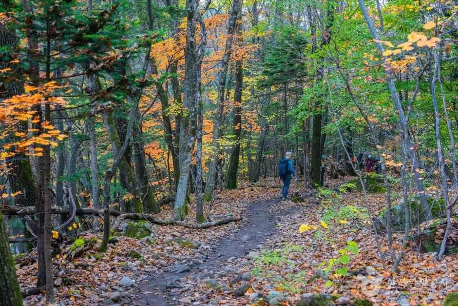
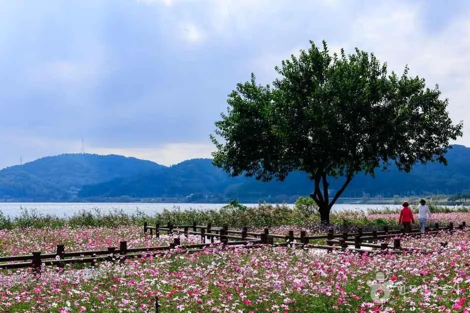 Photo: Korea Tourism Organization Photo Gallery (Mondan-myeon, Muan-gun, Gwangju/Jeonnam) · KOGL Type 1
The route starts near Damyang Dam and ends in Mokpo, where the Yeongsan River estuary dam sits. Early on, you’ll pass through the mood of Damyang’s bamboo forest and its metasequoia tree-lined road, then head south along the riverside on the outskirts of downtown Gwangju. The middle stretch opens up into broad waterside scenery around Seungchon Weir and Juksan Weir, crosses the open fields of the Naju Plain, and continues on toward the Neureoji Observatory. In the final stretch, you’ll pass through Hampyeong and Muan before reaching the Yeongsan River estuary dam, wrapping up in Mokpo with a hint of sea air in the breeze.
Most of the surface is a well-maintained riverside bike path, so the ride is generally smooth, though a few sections near town entrances or passing through villages briefly merge with shared pedestrian paths or regular roads.
Since this is a certified route, there are certification centers stationed at all the major points. From the Damyang Dam and bamboo forest area, the metasequoia road, Seungchon Weir, Juksan Weir, and the Neureoji observation deck, all the way to the Yeongsan River estuary dam at the finish — the stamp stations line up naturally along the way, so you can just collect them one by one as you go.
Nearby Food
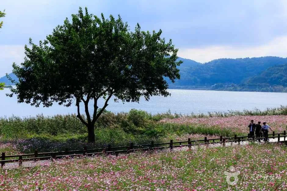 Photo: Korea Tourism Organization Photo Gallery (Mongtan-myeon, Muan-gun, Jeollanam-do) · KOGL Type 1
Every region along the route has its own well-known specialties, so it’s easy to combine resupply stops with a good meal. That said, I’ll point you toward regional specialties rather than naming specific restaurants.
- Damyang (starting point): Known mainly for tteokgalbi (grilled short rib patties), daetongbap (rice steamed in bamboo), and the noodle alley.
- Gwangju (mid-north): Local favorites here tend to be duck stew (oritang), lettuce-wrapped fried food (sangchu-twigim), and yukjeon (pan-fried beef fritters).
- Naju (mid-section): Naju gomtang (ox bone soup) is the signature dish — a hot bowl of broth is great for recovering some energy.
- Muan/Mokpo (finish): Octopus dishes (including live baby octopus, sannakji) are widely known here, along with skate (hongeo) and crab or other seafood. It’s a popular way to cap off the ride at the finish line.
Once you leave the riverside dedicated path and get out of the city centers, stretches without convenience stores or restaurants can run pretty long. Before leaving Damyang, Gwangju, Naju, or Mokpo, stock up well on water and snacks, and get a sense of how far it is to the next town.
Supplies & Amenities
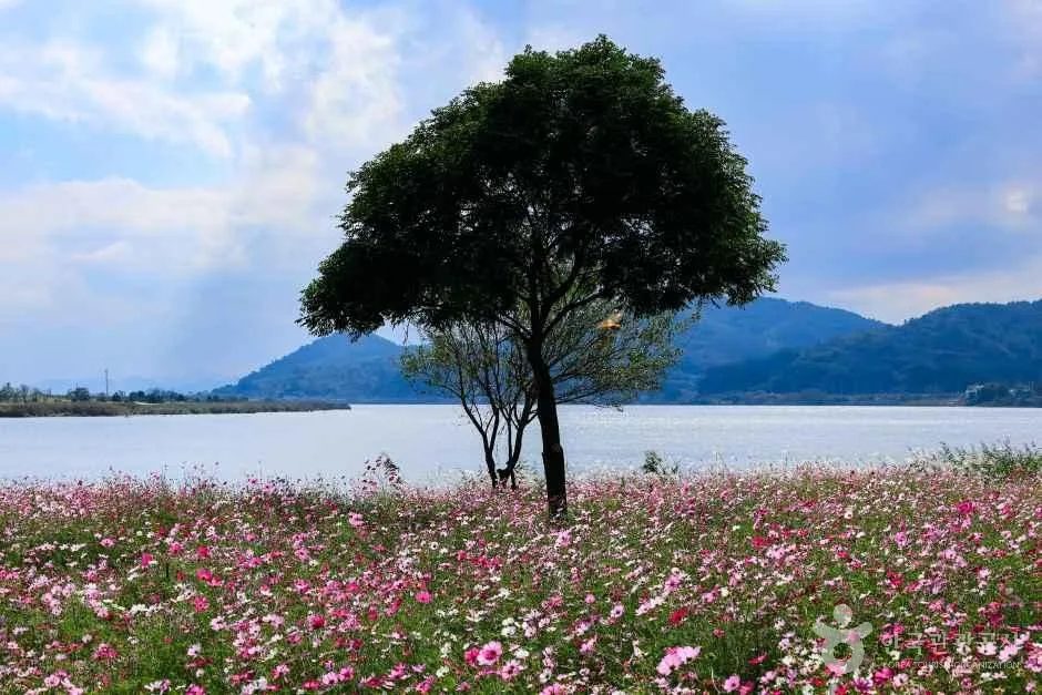 Photo: Korea Tourism Organization Photo Gallery (Mokpo-si/Muan-gun, Jeollanam-do) · KOGL
According to the Ministry of the Interior and Safety’s bike path database, this route has 7 certification centers, 21 restrooms, 8 water stations, and 2 air pumps. For a 133km long-distance route, restrooms and water stations are spread out fairly evenly, but with only 2 air pumps along the way, checking your tire pressure before you set off — and bringing your own pump and a puncture repair kit — is a must.
Since this is a certified route, you’ll want a Bike Passport to collect stamps along the way. Each certification center has a stamp ready and waiting — just press it into your own passport. At staffed centers you can buy a passport on the spot, while unstaffed spots have a stamp booth shaped like a red phone booth. Finish a section and you get a certification sticker; combine that with the cross-country cycling route as a whole, and there’s a system for earning a completion certificate and medal.
The Trip Back
 Photo: Korea Tourism Organization photo gallery (Mongtan-myeon, Muan-gun, Jeonnam-Gwangju Metropolitan City) · Gongnuri (Korea Open Government License)
Since this is a one-way route of 133km, you’ll want to work out how you’re getting back from the endpoint in Mokpo before you set off.
- By train: Mokpo Station is a major stop for both KTX and regular trains (Mugunghwa, ITX, etc.). Regular trains often let you bring your bike aboard, depending on available space or the bike rack situation, while KTX usually requires folding bikes to be packed into a cover or bag to meet baggage rules. Seat availability and bike policies can change from one train to the next, so check the latest rules before booking.
- By bus: Intercity and express buses typically require you to disassemble and wrap your bike before loading it in the cargo hold, though this can vary by route and driver. Bus stops near the endpoint worth knowing about include Korea Adelium Building 107, Mokpo National Cemetery, and the Canoe Stadium.
- Riding back (round trip): If you ride back under your own power, that’s roughly 266km round trip. Since it’s mostly flat riverside terrain, it’s not out of reach, but you’ll need a generous schedule of at least two nights, plus solid fitness and a proper supply plan.
Safety & Cautions
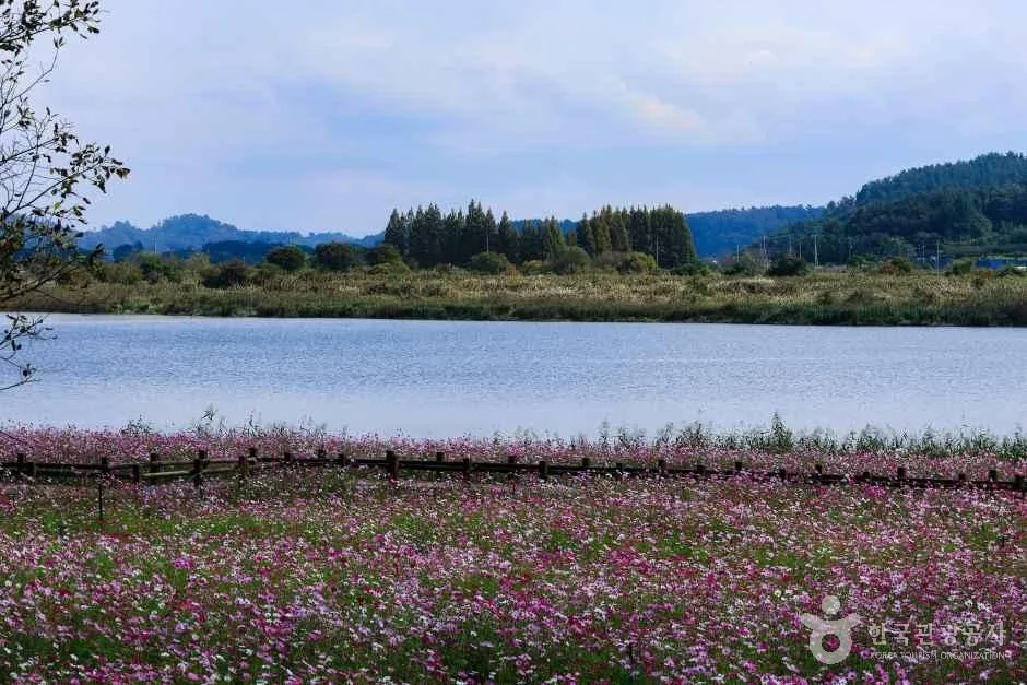 Photo: Korea Tourism Organization Photo Gallery (Mondan-myeon, Muan-gun, Jeonnam-Gwangju Metropolitan City) · KOGL
- Shared paths with pedestrians: Near the urban approaches and through the villages, some sections are shared with pedestrians. Slow down and give them the right of way.
- Ice on the road: In winter, shaded riverside stretches and bridges can ice over — take it easy there.
- Night lights: This is a long ride, so if you fall behind schedule you may end up riding after dark. Bring front and rear lights — no excuses.
- Water & dehydration: There are long stretches with no place to resupply, so check where the water stations are ahead of time and carry enough. In summer especially, watch out for dehydration and heat exhaustion.
Season, Weather & Gear
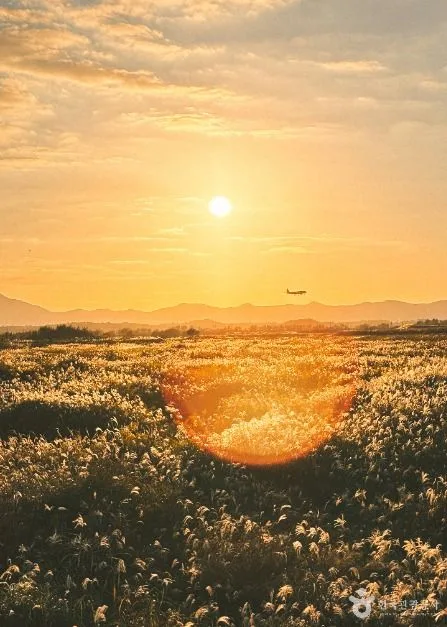 Photo: Korea Tourism Organization Photo Gallery (Yeongsan riverside, Seo-gu, Gwangju) · KOGL Type 1
The best seasons for this ride are spring (April–May) and fall (September–October). Temperatures are mild and the riverside scenery is at its best, making these ideal for long-distance touring. Summer cranks up the difficulty considerably — brutal heat, harsh sun, and almost no shade — so you’ll want to start early in the morning and drink water often. Winter brings its own challenges: wind whipping across the open riverbank and the chance of icy patches, so come prepared with proper windproof and cold-weather gear.
Since the riverside is wide open on all sides, headwinds can drain your energy fast — check the wind direction beforehand and pace yourself accordingly. Essential gear includes a helmet, front and rear lights, a puncture repair kit and portable pump, and plenty of water and snacks. It’s also worth packing a spare tube, sun protection, and salt/electrolyte tablets for summer rides.
Tips for Foreign Travelers
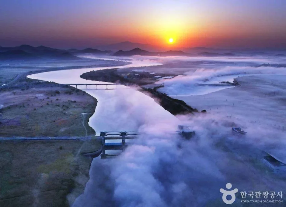 Photo: Korea Tourism Organization photo gallery (Naju, Yeongsan River) · Public Nuri
① Route name (romanized): Yeongsangang Bike Path (Yeongsan-gang Jajeongeo-gil). The main cities along the way are Damyang (starting point), Gwangju, Naju, and Mokpo (endpoint).
② A practical guide to the certification system: This route is part of Korea’s national cross-country bike path certification program.
- Bike Passport (certification booklet): Buy it in person at a staffed certification center. The official reservation site is Korean-only, and foreign cards and Korean identity verification tend to make buying online ahead of time a headache — grabbing one on the spot is by far the simplest option.
- Unmanned certification centers: These look like little red phone booths and hold a stamp inside. Just open the booth, take the stamp, and press it into the matching slot in your passport-style booklet.
- Rewards for completion: Finish a section and you get a certification sticker; complete the whole route and you’re eligible for a completion certificate and medal (based on the general program guidelines).
③ Traveling without your own bike: You can rent one from bike shops in Mokpo, Gwangju, and other towns along the route. If you’re setting out from Seoul, the city’s public bike-share system, Ttareungi, is an easy option since it supports an English-language app and foreign card payments. That said, local rental shops can make one-way, long-distance drop-offs tricky, so it’s worth confirming return policies in advance if you’re planning a round trip or a specific segment.
④ Map apps: Google Maps’ cycling directions are often unreliable in Korea. I’d recommend using the bike mode on KakaoMap or Naver Map instead — both support English and give far more accurate routing along riverside bike paths.
Nearby cycling paths
- Saejae Bike Path — route, distance, 7 certification centers — about 224km point-to-point
- Namhangang Bike Path — route, distance, certification centers — about 263km point-to-point
📍 Yeongsan River Bike Path: Route, Distance & 7 Certification CentersLocation
Contact: bumseok.view [at] gmail [dot] com
Comments