The Nakdong River Bike Path: Route, Distance, and Certification Centers
Cycling · Published 7/31/2026 ·
자전거길 트랙·시설 (공공데이터: 행정안전부 국토종주 자전거길 DB) · 🏆인증센터 💧급수대 🚻화장실 🔧공기주입기 · 지도 © OpenStreetMap ⤓ GPX 다운로드
At a Glance
| Metric | Rating |
|---|---|
| Course difficulty | ★★★★★ |
| Supplies & amenities (certification centers, water stations) | ★★★★★ |
| Certification centers | ★★★★★ (10 locations) |
| Difficulty by season (spring/summer/fall/winter) | ★★☆☆☆ / ★★★★★ / ★★☆☆☆ / ★★★★☆ |
※ Source: Ministry of the Interior and Safety, Cross-Country Bike Trail database · Seasonal ratings are rough guides
Overview
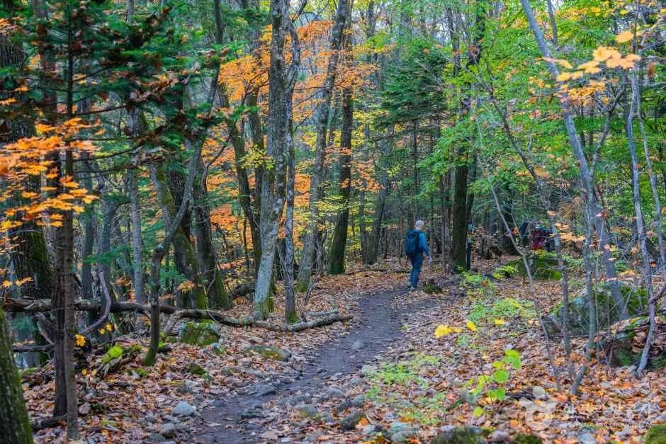
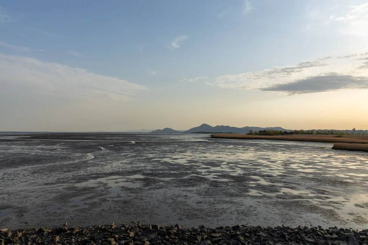 Photo: Korea Tourism Organization photo gallery (Hadan-dong, Saha-gu, Busan) · KOGL
The Nakdonggang Bike Path runs from Andong in Gyeongsangbuk-do all the way down to Eulsukdo in Busan, cutting north to south through the southeastern corner of the peninsula — Korea’s longest bike path. What defines this route is that you follow a single river, the Nakdonggang, from one end to the other. There aren’t many brutal mountain climbs to grind over, but the sheer distance along the river becomes the real challenge. Over several days in the saddle, you get to feel the river change: the narrow, winding upper reaches give way to the broad weir sections of the middle stretch, and then to the reed beds and open sea at the mouth.
How you use the path depends a lot on what you’re after.
First, the full end-to-end tour over 3–5 days. The usual approach is to aim for 80–130 km a day and pick your overnight stops around the clusters of certification centers. Since this is a core section of the Cross-Country Certification program, filling your certification booklet with stamps becomes its own kind of motivation.
Second, section riding. If you don’t have time to ride the whole thing in one go, you can split it up — the Daegu/Gumi area, the Changnyeong/Haman area, the Busan estuary area — and come back for each one. Pair a folding bike or a minivelo with trains and buses and you can stitch the sections together on weekends.
Third, short rides for families and beginners. The riverside stretches around the Busan estuary or just outside Daegu have smooth pavement and easy access, which makes them perfect to carve out as a light 20–40 km round trip.
Course Information
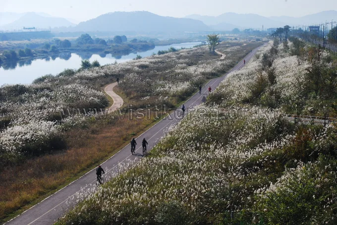
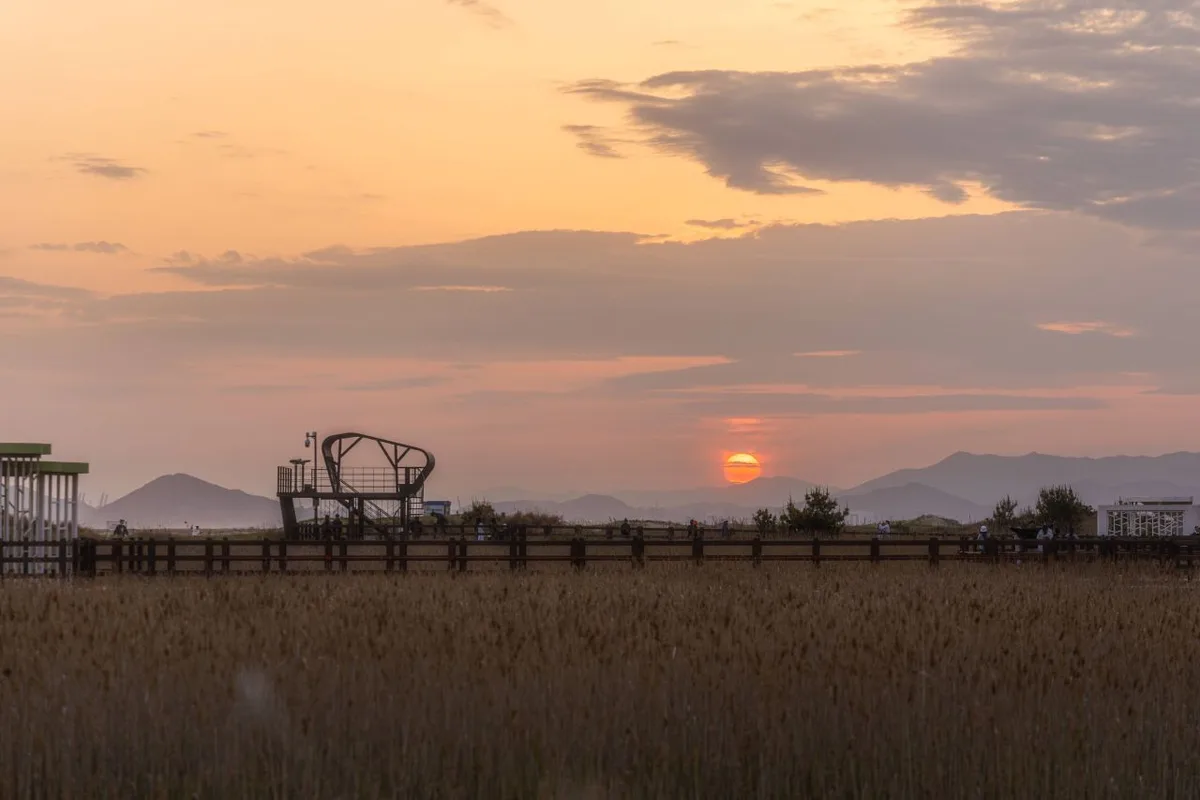 Photo: Korea Tourism Organization photo gallery (Hadan-dong, Saha-gu, Busan) · KOGL
The route starts at Andong Dam and ends at the Nakdonggang Estuary Bank in Busan. It’s a one-way route, so your start and finish are in completely different places — you’ll want to sort out how you’re getting back before you set off.
The upstream section follows downtown Andong and the narrow waterways of the upper Nakdong. Riverside bike-only paths, farm roads, and levee paths take turns, and in stretches that pass through villages you’ll be sharing the road with cars. Around Sangpunggyo Bridge in Sangju, the route changes character and becomes proper Nakdong mainstream riding — this is also the junction where it meets the Saejae Bike Path.
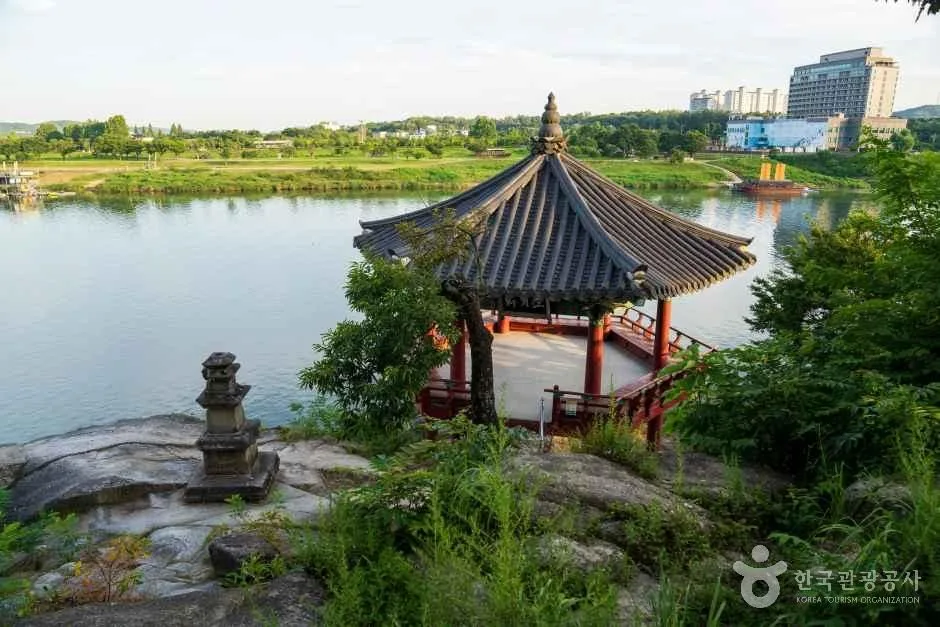
Coming down into the middle stretch, you pass a series of large weirs, each with its own certification center. Gumibo, Chilgokbo, Gangjeong Goryeongbo, Dalseongbo, Hapcheon Changnyeongbo, and Changnyeong Hamanbo — that sequence pretty much serves as the mile markers for the middle and lower sections. Around the weirs the river widens and the dedicated paths are well maintained, so it’s good ground for picking up speed. But keep in mind that’s exactly where there’s no shade and nothing to block the wind.
Downstream, you pass the Yangsan Water Culture Center and enter the Busan metropolitan area, riding alongside the estuary wetlands famous for their reeds and migratory birds before finishing at the Nakdonggang Estuary Bank. The surface is mostly riverside bike-only path throughout, but depending on the section you’ll also hit shared pedestrian paths, unpaved levee roads, and short climbs.
Food Along the Way
 Photo: Korea Tourism Organization photo gallery (Hadan-dong, Saha-gu, Busan) · KOGL
Every region the route passes through has its own distinct local food culture, so restocking can easily turn into a food tour. That said, rather than setting your sights on one specific restaurant, it’s more realistic to keep the region’s well-known dishes in mind and find something nearby.
- Andong area: Local specialties like Andong jjimdak (braised chicken in soy sauce), gan-godeungeo (salt-cured grilled mackerel), and heot-jesabap are widely known here.
- Sangju and Gumi area: Regional snacks — dried persimmons above all — are the famous thing, and in the town centers you can fill up on standard baekban or gukbap.
- Daegu area: Makchang gui (grilled pork intestine), napjak mandu (flat dumplings), and spicy jjim-galbi are generally the signature dishes.
- Changnyeong, Miryang, and Gimhae area: Onion-based dishes and the dwaeji-gukbap family are common.
- Busan area: Dwaeji-gukbap, milmyeon (noodles in cold broth), fish cakes, and seed-filled hotteok are the well-known ones.
A warning about the no-supply stretches: Once you’re off the levee paths and away from the cities, convenience stores and restaurants get pretty scarce. The rural stretches upriver and the long straight sections between weirs in particular can go 20–30km without a single shop. Getting into the habit of topping up water and snacks every time you pass through a city is what keeps you safe. Shops in smaller provincial towns also tend to close early in the evening, so planning a late dinner can leave you out of luck.
Supplies & Facilities
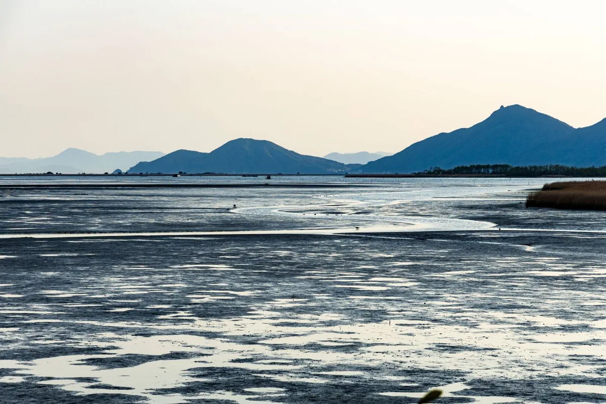 Photo: Korea Tourism Organization photo gallery (Hadan-dong, Saha-gu, Busan) · KOGL
Along the full length of the route there are 10 certification centers, 34 restrooms, 11 water stations, and 15 air pumps.
Those 10 certification centers aren’t just places to get a stamp — in practice they’re your rest stops too. If you break each day’s ride into certification-center segments, you end up sorting out your distances and your supply plan at the same time. The 11 water stations are your main spots for topping off bottles, but they can freeze up in winter or be closed for maintenance, so riding your bottles dry on the assumption that the next one will work is asking for trouble. The 15 air pumps come in handy for getting your tire pressure back up on a long day, and for re-inflating after fixing a flat. Most of the 34 restrooms are clustered around certification centers, parks, and weir management facilities.
This route is part of the Cross-Country Certification program. Bring a Bike Passport and collect a stamp at each certification center, and you’ve got a record of completing each section. The unmanned centers have a stamp and ink pad sitting inside the booth for you to use yourself — and since the stamps are often faint, it’s worth pressing the page down and giving it a few tries.
Getting Home
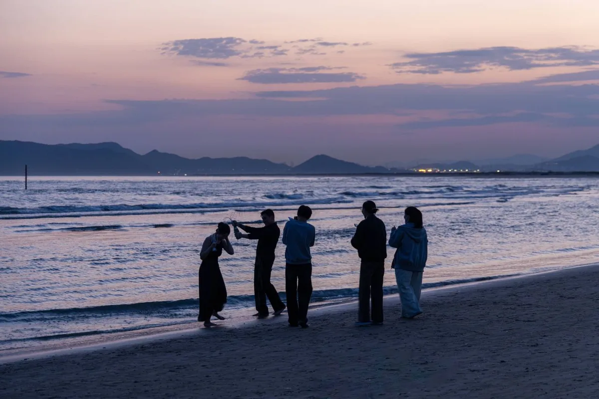 Photo: Korea Tourism Organization photo gallery (Hadan-dong, Saha-gu, Busan) · KOGL
This is a 385 km one-way route, so you’ll want to sort out how you’re getting from Busan back to Andong — or back to wherever you live — well before you set off.
1) By train (the usual choice): Most people ride to Busan and then catch a train from Busan Station or Gupo Station. Regular trains like the Mugunghwa and ITX generally let you bring a bike aboard, and some run a dedicated car with bike racks. That said, whether the service is running and how you book it varies by train and by season, so check ahead. KTX normally won’t take a fully assembled bike — you’ll need a folding bike, folded and packed in a cover or bag so it meets the baggage rules. Pulling the front wheel off and packing the bike in a bike bag is another widely used approach.
2) By bus: With intercity and express buses, whether you can stow a bike in the cargo hold tends to come down to the company and the driver. Breaking the bike down and bagging it makes that conversation a lot easier. If you’re looking for nearby bus stops for getting to the Andong start or moving on after the Busan finish, there’s Eulsukdo Cultural Center and Gangbyeon Felicia around the finish, and Andong Nonghyup Farming Support Center and Imcheonggak around the start. Keep in mind, though, that most of these are local city bus stops — for a long trip with a bike, you’re safer planning around a train station or a main intercity bus terminal.
3) Riding back (385 + 385 = 770 km round trip): Getting yourself home under your own power. You get to hit the certification stamps twice and you never have to worry about transport, but you’re doubling your total distance, so you’ll need plenty of slack in both your schedule and your legs. This is generally considered a challenge for advanced riders.
4) Connecting with city transit: Once you’re in Busan, the surest way from the estuary area to the train station is to just ride it yourself along the riverside bike path. The subway often has restrictions on carrying bikes, so I wouldn’t build it into your plan without checking first.
Safety Notes
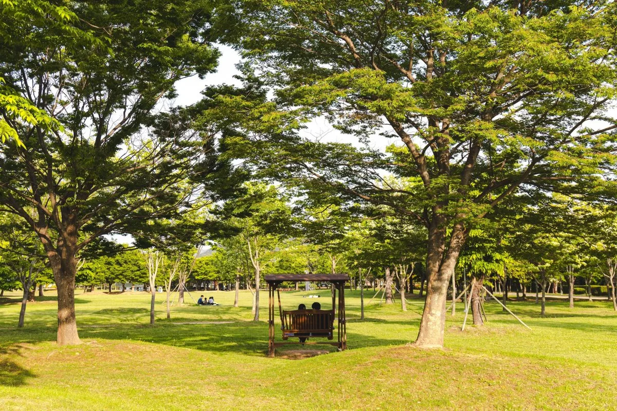 Photo: Korea Tourism Organization photo gallery (Hadan-dong, Saha-gu, Busan) · KOGL
- Shared paths: Where you’re sharing the path with pedestrians, slow down and give people warning with a bell or your voice. The downtown stretches that overlap with walking trails get especially busy on weekend afternoons.
- Mixed traffic: Going through villages and farm roads, there are points where you meet regular roads. Watch for farm machinery and trucks, and get in the habit of coming to a full stop at crossings.
- Ice, fallen leaves, sand: In winter and early spring, shaded embankment paths can still hold frost or ice. After heavy summer rain, sand and mud pile up on the surface and make it slippery.
- Night riding: Long sections of the riverside bike path have no streetlights. A headlight and taillight aren’t optional here — they’re essential, and bring spare batteries too.
- Dehydration and heat exhaustion: There’s a lot of wide-open riding with almost no shade. Drink regularly before you feel thirsty, and mark the water fountains on your map ahead of time.
- Strong wind: Hit a headwind on an exposed riverside stretch and the difficulty jumps way up. Better to build some slack into your schedule.
Season, Weather, and Gear
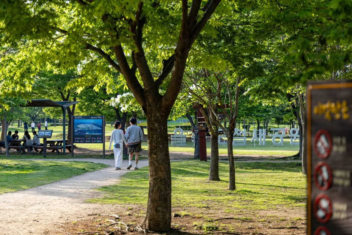 Photo: Korea Tourism Organization photo gallery (Hadan-dong, Saha-gu, Busan) · KOGL
The most pleasant times to ride are April–May and September–October. The temperatures are mild and the views along the river are clear, which makes for good long-distance riding. Summer (June–August) is the toughest season by far, with heat waves and monsoon rains overlapping — an early morning start and a midday break are pretty much mandatory. Winter (December–February) brings ice and strong winds off the river, and the water stations may not be usable, so you’ll want warm layers and an extra bottle. In spring, watch out for fine dust and pollen; in autumn, the early sunset.
Here’s the essential gear:
| Category | Items |
|---|---|
| Safety | Helmet, front and rear lights, spare batteries, gloves |
| Repairs | Puncture repair kit, spare tube, portable pump, multi-tool, chain oil |
| Supplies | At least two water bottles, electrolyte drinks, snacks (bars, gels, nuts) |
| Clothing | Padded shorts, lightweight windbreaker, rain jacket, arm and leg covers |
| Other | Certification passport, power bank, waterproof pouch, bike lock, a little cash |
Tips for International Travelers
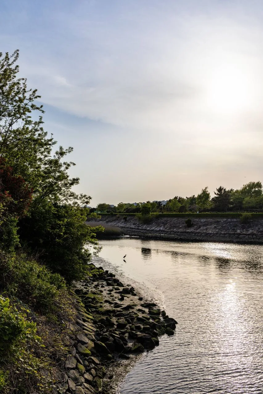 Photo: Korea Tourism Organization photo gallery (Hadan-dong, Saha-gu, Busan) · KOGL
① The route name in Roman letters 낙동강자전거길 = Nakdonggang Bike Path. It starts at Andong Dam (안동댐) and ends at the Nakdonggang Estuary Bank (낙동강하구둑). Most signs show both Korean and English, but if you need to ask someone for directions, having the Korean place names saved on your phone helps enormously.
② A practical guide to the Certification System — yes, this route is part of it
- Getting a Bike Passport (인증수첩): Realistically, your best bet is buying one in person at a staffed certification center (one with an attendant on site) or at a related government office or information center. The official online channel is Korean-only, and overseas-issued cards or Korean ID verification requirements often make buying ahead of time impossible. So plan on picking up the passport on the ground once you reach your starting point. If you haven’t got one yet, a widely used workaround is to stamp a piece of paper or a notepad for now, jotting down the date and the name of the spot alongside each stamp so you can transfer them into the passport later.
- How to use an unstaffed certification center: The unstaffed centers are little stamp booths shaped like red telephone boxes. Open the door — or just step up to the open side — and you’ll find a stamp and an ink pad inside. Press it into the box for that location in your passport and you’re certified. There’s nobody on duty, so checking that the stamp came out cleanly is on you; if the ink pad has dried out, try pressing a few times. The booths sit right beside the bike path, but the signage is small and easy to ride straight past, so it’s worth saving the coordinates to your GPS in advance.
- Completing the route: Once you’ve filled in a whole section, you’ll typically get a section-completion sticker to stick in your passport, and if you meet the conditions for the entire route, you can receive a completion certificate and a commemorative medal. The procedures and pickup locations can change from season to season, so it’s safest to ask at a staffed certification center while you’re still riding.
③ If you’re arriving without a bike For a long end-to-end ride, your own bike or a proper touring bike rental beats a share bike. If you want a short shakedown ride in Seoul before you set off, there’s Ttareungyi (따릉이), the city’s public bike share. It has an English app and generally accepts overseas-issued cards, but it’s limited to the Seoul area, so it’s no use for the Nakdonggang route. Larger cities like Busan and Daegu have private bike shops that rent, though long-distance bikes often need to be reserved ahead. If you’re flying your own bike in, pack it in a bike box or soft case and check your airline’s sports equipment rules beforehand.
④ Map apps Google Maps’ cycling directions aren’t very accurate in Korea, and its bike path data is thin. Use the bicycle mode in KakaoMap or Naver Map instead. Both have English interfaces and give you routes that account for the riverside bike-only paths. There are stretches with no signal, so I’d recommend saving offline maps or a GPX track on a separate device. For accommodation, searching Korean booking apps for “게스트하우스” (guesthouse) and “모텔” (motel) will widen your options considerably.
Other Bike Paths Nearby
- Saejae Bike Path: Route, Distance, and All 7 Certification Centers — roughly 104 km as the crow flies
- Namhangang Bike Path: Route, Distance, and Certification Centers — roughly 174 km as the crow flies
📍 The Nakdong River Bike Path: Route, Distance, and Certification CentersLocation
Contact: bumseok.view [at] gmail [dot] com
Comments