Jeju Fantasy Bike Path: Route, Distance, and All 9 Certification Centers
Cycling · Published 7/30/2026 ·
자전거길 트랙·시설 (공공데이터: 행정안전부 국토종주 자전거길 DB) · 🏆인증센터 💧급수대 🚻화장실 🔧공기주입기 · 지도 © OpenStreetMap ⤓ GPX 다운로드
At a Glance
| Metric | Rating |
|---|---|
| Course difficulty | ★★★★☆ |
| Supplies & amenities (certification centers, water stations) | ★★★☆☆ |
| Certification centers (9 total) | ★★★★☆ |
| Seasonal difficulty — spring | ★★☆☆☆ |
| Seasonal difficulty — summer | ★★★★★ |
| Seasonal difficulty — fall | ★★☆☆☆ |
| Seasonal difficulty — winter | ★★★★☆ |
※ Source: Ministry of the Interior and Safety, Cross-Country Bike Trail database · Seasonal ratings are rough guides
Overview
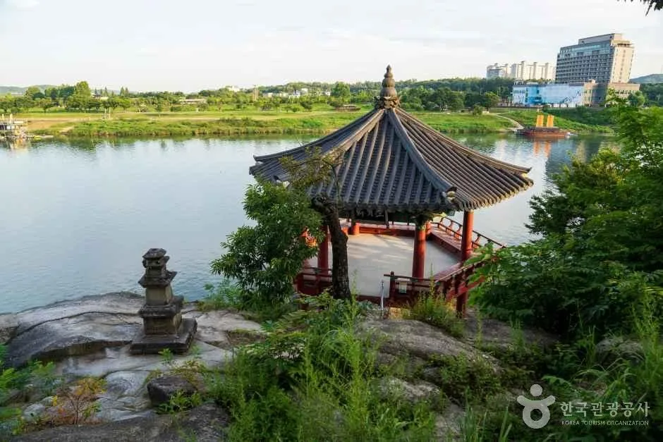
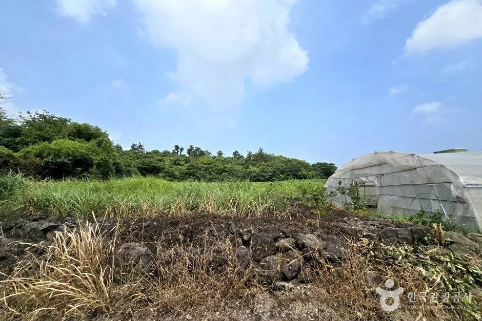 Photo: Korea Tourism Organization photo gallery (Ora 3-dong, Jeju City, Jeju Special Self-Governing Province) · KOGL
The Jeju Fantasy Bike Path (Jeju Hwansang Jajeongeo-gil) is a route that circles the island along Jeju’s coastline. The “hwansang” in the name doesn’t mean “fantastic” — it means ring-shaped (環狀), and true to that, your starting point is also your finish line. The whole way around, you’ve got ocean on one side and Hallasan and the oreum volcanic cones on the other. Black basalt shore rocks, white sand beaches, palm trees, stone-walled fields, ridgelines lined with wind turbines — the scenery keeps shifting its texture, so even though you’re circling the same sea the entire time, it rarely gets monotonous.
That said, the difficulty is nothing to shrug off. The coastal road looks flat, but it’s an endless string of short, frequent climbs and descents as you roll over headlands and around bays — and more than anything, the wind will eat your legs alive. If you show up picturing the gentle riverside paths of the Four Rivers cross-country route, you’re in for a shock.
There are basically four ways to approach it.
- Three days, two nights (the most common): Break it into 70–90 km a day. Starting from Jeju City and going clockwise… er, westward, a manageable flow is roughly Hangyeong and Moseulpo on day one, Seogwipo and Pyoseon on day two, then back through Seongsan and Jocheon on day three.
- Four days, three nights (the relaxed version): Drop it to 55–65 km a day and work in some sightseeing — an oreum here, the Haenyeo Museum there, a walk on the beach. Good fit if you want to take photos or linger over coffee.
- One section at a time, as a day ride: Forget the full loop and just pick a 20–40 km stretch between certification centers. The southeastern coast from Seogwipo to Seongsan and the northwestern coast from Aewol to Hallim are especially popular with beginners and intermediate riders.
- Minivelo or Brompton + public transit: Fold the bike, hop on a city or express bus, ride only the section you want, then bus it back. A realistic option for travelers short on fitness or time, and for families.
Course Information
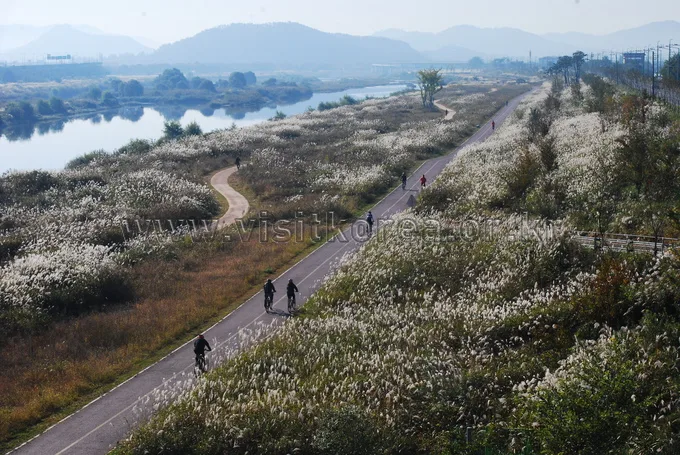
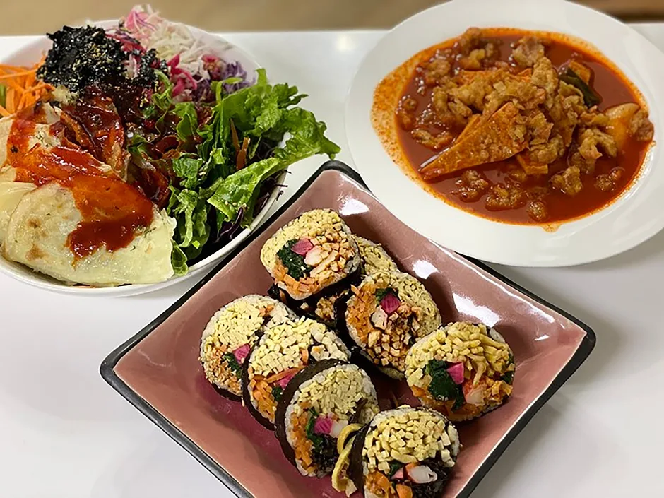 Photo: Korea Tourism Organization photo gallery (36 Wollang-ro, Jeju-si, Jeju Special Self-Governing Province) · KOGL
The start and finish are essentially the same spot. Most riders use the Yongduam certification center in Jeju City as both departure and arrival point, then ride counterclockwise — west to Hallim, south to Seogwipo, east to Seongsan, north to Jocheon. The reasoning behind this direction is that it keeps the ocean on your right for better views, and you tend to get a more favorable deal with the seasonal winds. Going the other way works too, of course.
The route starts at the Yongduam certification center, passes Dodu and Iho Tewoo beaches, and heads for the Darak Rest Area certification center. From there it runs through Aewol, the Handam coast, and the Hallim–Hyeopjae area before reaching the Haegeoreum Village Park certification center. Round the western tip and drop down toward Daejeong and Moseulpo and you’ll hit the Songaksan certification center; from there the route follows the south coast through Andeok and Jungmun to the Beophwan Badang certification center. Cut through downtown Seogwipo and head east for the Soesokkak certification center, then the Pyoseon Beach certification center. Round the Seongsan Ilchulbong certification center at the eastern tip, head north, and you’ll come to the Gimnyeong Seongsegi Beach certification center. Finally, past Jocheon and Samyang, and you’re back at Yongduam.
The road surface changes character noticeably from section to section. Around beach parks and tourist areas there are proper bike-only paths or shared pedestrian paths, but for a good chunk of the route you’re riding the shoulder of an ordinary coastal road with cars. This is not a riverside bike path fully separated from traffic, and you absolutely need to plan with that in mind. The pavement itself is generally in good shape, but around harbors and fishing ports and on village back roads you’ll run into bumps, grating, and stretches where sand has blown across.
Food Along the Way
The whole Jeju route runs through food country, which makes refueling one of the real pleasures here. Rather than locking in specific restaurants ahead of time, you’ll go wrong less often by just picking whatever the area you’re passing through is known for.
- Jeju City / Jocheon area: Pork noodle soup (gogi-guksu), mom-guk, and blood sausage — broth-based dishes you won’t find on the mainland. Good for loading up on carbs before an early start.
- Aewol / Hallim area: Bomal (sea snail) kalguksu, sea urchin soup, seafood ramyeon — coastal village cooking. Cafés are packed in along here too, so it’s a good stretch for a coffee-and-dessert break.
- Moseulpo / Daejeong area: Known for amberjack (in winter), cutlassfish, and maneul (garlic) chicken.
- Seogwipo / Jungmun area: Seafood hotpot, braised cutlassfish, grilled tilefish, and grilled black pork. A frequent pick for the recovery dinner on night two of the loop.
- Pyoseon / Seongsan area: Abalone dishes, haenyeo mulhoe, and obunjagi hotpot are the classics.
- Snacks and dessert: Omegi-tteok and Hallabong/tangerine products are everywhere you look. Handy for a sugar hit.
Watch out for the stretches with nowhere to resupply. Convenience stores are thick on the ground in downtown Jeju City and Seogwipo, but along parts of the west coast (Hangyeong to Daejeong) and the east coast (some sections between Pyoseon and Seongsan), the gaps between shops get wide — and in the off-season, some of them are closed anyway. Get in the habit of topping off water and snacks before you leave a village.
Supplies & Facilities
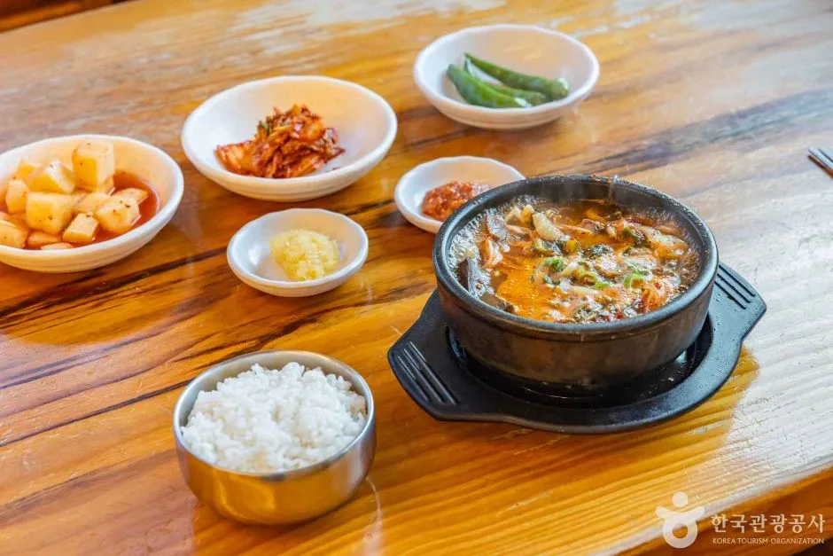 Photo: Korea Tourism Organization photo gallery (25 Gwangyang 13-gil, Ido 2-dong, Jeju-si, Jeju Special Self-Governing Province · KOGL
The route has 9 certification centers, 51 restrooms, 6 water fountains, and 10 air pumps. With 51 restrooms, there’s plenty of coverage, which takes a lot of the pressure off for women and families riding together. The 10 air pumps are spread across the certification centers and the main rest stops, so you can top off your tire pressure along the way.
The 6 water fountains, though, aren’t exactly dense once you factor in how far you’re riding each day. Don’t count on them alone — work convenience stores, cafés, and park drinking fountains into your plan too. I’d go with at least two 700ml bottles, or a hydration pack.
This is a certification route, so you prove you’ve finished by collecting stamps from each certification center in a paper certification passport. Some centers are staffed and some are unmanned booths, and the unmanned ones let you stamp 24 hours a day even with nobody around. The stamp ink can dry out or come through faint, so do a test press first. It also helps to snap a separate photo at every center with your bike and the booth in the same frame — that’ll save you if the passport goes missing or a stamp smudges.
Heading Back
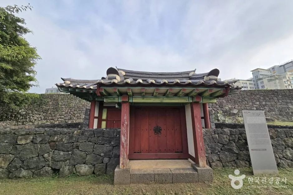 Photo: Korea Tourism Organization photo gallery (Ido 1-dong, Jeju City, Jeju Special Self-Governing Province) · KOGL
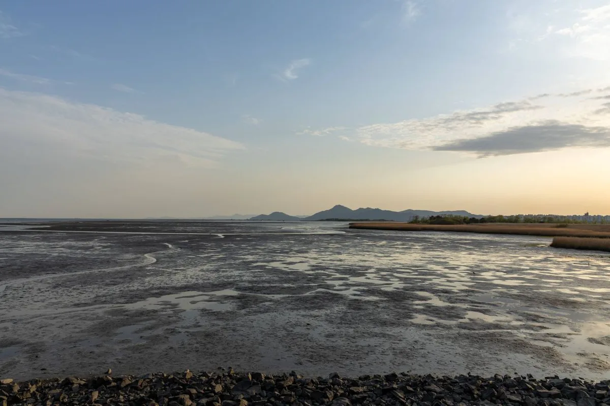
Because the route is a loop, just keep pedaling and you’ll end up right back where you started. So there’s no need to plan any long-haul transport home. The easiest approach is to book a place to stay near your starting point, leave some of your luggage there, and ride light. And if you have to bail partway through or fall behind schedule, you can catch a city bus or a taxi back toward the start from pretty much anywhere along the coast.
Safety & Precautions
- Shared vehicle sections: As mentioned earlier, a lot of this route runs on regular coastal roads shared with traffic. Tour buses, rental cars, and trucks are all in the mix, so I’d recommend keeping a rear light on for visibility even during the day.
- Shared pedestrian paths: Around beach parks and tourist spots, pedestrians have the right of way. Slow down and give people a heads-up with a bell or your voice.
- Wind: This is the route’s toughest opponent, hands down. A headwind will gut your speed even on flat ground, so build some slack into your schedule. When the crosswinds pick up, grip the bars firmly and stay toward the inside of the lane.
- Night riding: There are long coastal stretches with no streetlights at all. Avoid riding after sunset if you can, and if you can’t, a headlight and taillight are non-negotiable.
- Winter ice: Icing is rare in the low-lying coastal areas, but thin patches can form on bridge decks and shaded curves early in the morning.
- Dehydration and heatstroke: In summer, the coastal road offers almost no shade and the reflected heat is brutal. Drink before you feel thirsty, and if you get dizzy or stop sweating, get into the shade and rest immediately.
- Tunnels and harbor approaches: Slow down where the light changes abruptly, and watch for sand and oil on the road surface.
Season, Weather, and Gear
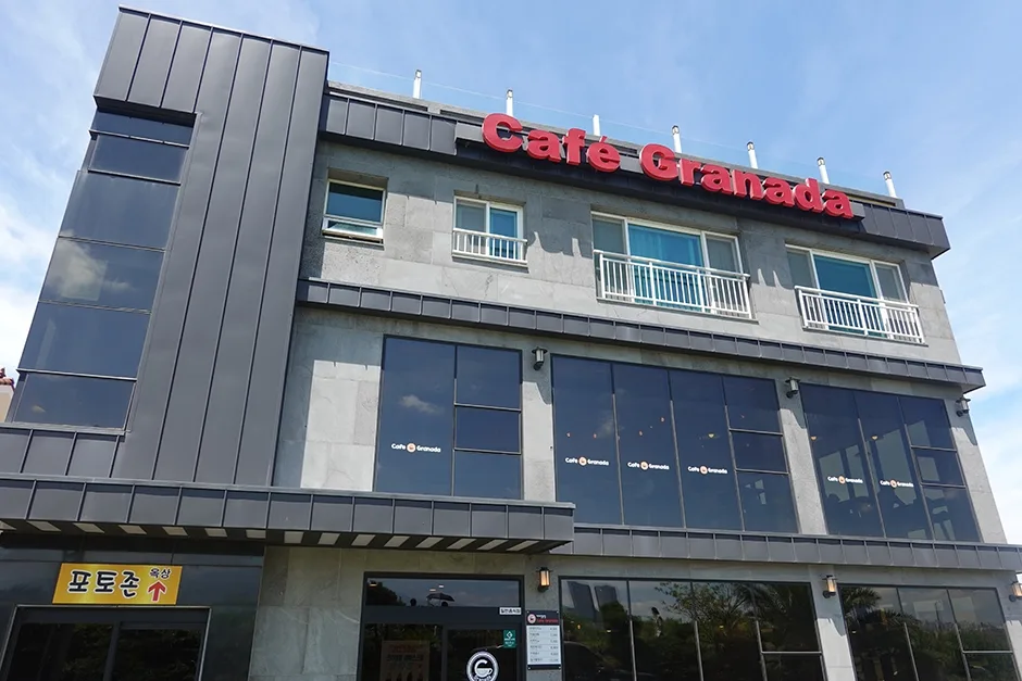 Photo: Korea Tourism Organization tourism photo gallery (86-1 Dogong-ro, Jeju-si, Jeju Special Self-Governing Province) · KOGL
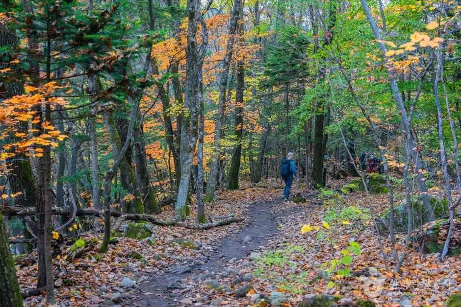
The best months are April through June and September through November. The temperatures are mild, the humidity is low, and long days in the saddle are much easier for it. You also get the seasonal scenery — canola flowers, hydrangeas, silver grass.
Summer (July and August) is the hardest by a good margin: hot, humid, punishing UV, and the possibility of a typhoon rolling through. I’d suggest splitting your days — ride early in the morning, rest through the worst of the afternoon. Winter (December through February) isn’t really about snow; it’s the northwesterly winds. Take those head-on along the west coast and the difficulty spikes immediately, so which direction you ride and what windproofing you bring both matter. Even in spring and fall the day-to-night temperature swing is big, so keep a thin windbreaker with you at all times.
Here’s the essential gear list.
| Category | What to bring |
|---|---|
| Safety | Helmet, front and rear lights, gloves, sunglasses |
| Repairs | Puncture kit and 2 spare tubes, tire levers, hand pump, multi-tool, chain link |
| Hydration and fuel | At least 2 bottles, electrolyte tablets, energy bars and gels |
| Clothing | Windbreaker, rain jacket, arm and leg covers or sunscreen, spare jersey |
| Other | Power bank, phone mount, a little cash, waterproof zip bag for your certification passport |
Tips for International Travelers
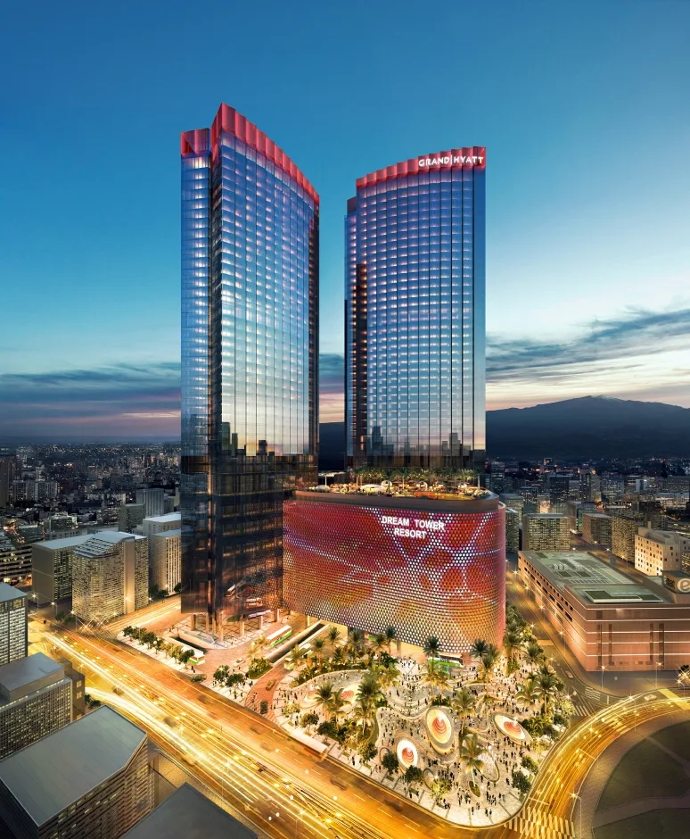 Photo: Korea Tourism Organization photo gallery (12 Noyeon-ro, Jeju-si, Jeju Special Self-Governing Province (Nohyeong-dong) · KOGL
① Romanized route names The official name is 제주환상자전거길, romanized as Jeju Hwansang Jajeongeo-gil. In English it’s usually called the Jeju Fantasy Bike Path or the Jeju Ring Bicycle Route. Here’s how the main certification centers are written: Yongduam, Darak Shimteo, Haegeoreum Village Park, Songaksan, Beophwan Badang, Soesokkak, Pyoseon Beach, Seongsan Ilchulbong, and Gimnyeong Seongsegi Beach.
② A practical guide to the certification system (yes, this route is part of it)
- Buying a Bike Passport: Buying one in person at a staffed certification center is by far the surest route. The official online site is Korean-only, and overseas cards or Korea’s identity-verification requirements (local phone number, ID) often make it impossible to buy ahead of time. Just pick one up at the first staffed center you reach after you arrive — and bring a bit of cash.
- How to use an unstaffed certification center: Look for a small stamp booth shaped like a red phone box. Open the door and you’ll find the route’s stamp fixed to the inside. Open your passport to the right box, hold it flat against the stamp, and press straight down. There’s nobody working there, so it’s available 24 hours, with no fee and no procedure to follow.
- Completion: Finish a section and you’ll get a certification sticker for your passport; riders who complete a whole route are generally issued a completion certificate and a commemorative medal. These are handed out at designated staffed centers after they check your passport, so I’d plan your last day around a staffed center’s opening hours. Bring your passport or some other form of ID.
③ If you’re arriving without a bike Jeju doesn’t have Seoul’s public bike-share, Ttareungi. Ttareungi is a Seoul-only service — it does have an English app and accepts overseas cards, so save it for your Seoul days. On Jeju, riders generally use private rental shops in Jeju City and Seogwipo City, or the rental service at guesthouses that cater to cyclists. Road and hybrid bikes suitable for the full loop are limited in number, so I’d strongly recommend booking ahead. When you book, be sure to ask whether panniers or saddle bags are available to rent, whether one-way returns (dropping off at a different location) are allowed, and what the deposit and damage policies are. If you’re bringing your own bike, check your airline’s baggage rules and bike box size limits in advance.
④ Map apps Google Maps’ cycling directions in Korea aren’t very accurate and often miss routes entirely. Use the bicycle mode in KakaoMap or Naver Map instead. Both have English interfaces, and since searches work better with the Korean names, it’s handy to save the romanized/Korean name pairs above. It’s also worth loading offline maps or a GPX file onto a separate GPS device for the stretches where you lose signal. Emergency numbers are 112 (police) and 119 (fire and ambulance); 119 can connect you to an English interpreter.
Other Bike Paths Nearby
- Yeongsangang Bike Path: Course, Distance, and All 7 Certification Centers
- Nakdonggang Bike Path: Course, Distance, and Certification Centers
📍 Jeju Fantasy Bike Path: Route, Distance, and All 9 Certification CentersLocation
Contact: bumseok.view [at] gmail [dot] com
Comments