Namhan River Bike Path: Route, Distance, and Certification Centers
Cycling · Published 7/27/2026 ·
자전거길 트랙·시설 (공공데이터: 행정안전부 국토종주 자전거길 DB) · 🏆인증센터 💧급수대 🚻화장실 🔧공기주입기 · 지도 © OpenStreetMap ⤓ GPX 다운로드
At a Glance
| Metric | Rating |
|---|---|
| Course difficulty | ★★★★☆ |
| Amenities (certification centers, water stations) | ★★★★★ |
| Certification centers (8) | ★★★★★ |
| Seasonal difficulty — Spring | ★★☆☆☆ |
| Seasonal difficulty — Summer | ★★★★☆ |
| Seasonal difficulty — Fall | ★★☆☆☆ |
| Seasonal difficulty — Winter | ★★★★☆ |
※ Source: Ministry of the Interior and Safety’s National Cross-Country Bike Path DB · seasonal ratings are for reference only
Overview
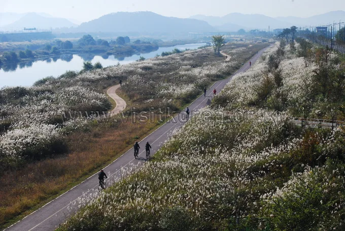
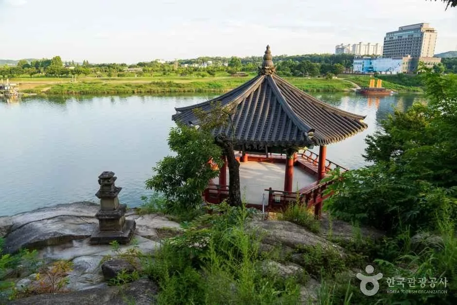 Photo: Korea Tourism Organization photo gallery (Cheonsong-dong, Yeoju, Gyeonggi-do) · KOGL
The Namhangang Bike Path is one of the signature stretches of Korea’s national bike-touring network, starting from Paldang on the eastern edge of the greater Seoul area and following the Namhan River upstream all the way to Chungju. Sections built over old decommissioned rail lines alternate with dedicated riverside bike paths, and the route’s defining trait is that it flows gently along the river with no major climbs. The scenery is water, mountains, and open fields from start to finish, making this the route where you feel that classic “riding along the river” sensation of a cross-country tour in its purest form.
There are three main ways to tackle it.
- Overnight, two-day tour: The full route is quite long to cover in a single day, so the most common approach is to break it up with an overnight stay in one of the towns along the way — Yangpyeong or Yeoju. Splitting it into Paldang–Yeoju on day one and Yeoju–Chungju on day two cuts down the physical strain considerably.
- Day-trip partial ride (good for families/beginners): The Paldang–Yangpyeong section runs along a converted rail line, so it’s nearly flat, with tunnels and riverside decking along the way — a great out-and-back option for beginners or families.
- Brompton/mini-velo + public transit combo: Load a folding bike onto a train or bus, ride out to whichever section you want, do a partial stretch, and head back. This lets you break the long full route into manageable chunks without pressure.
Course Info
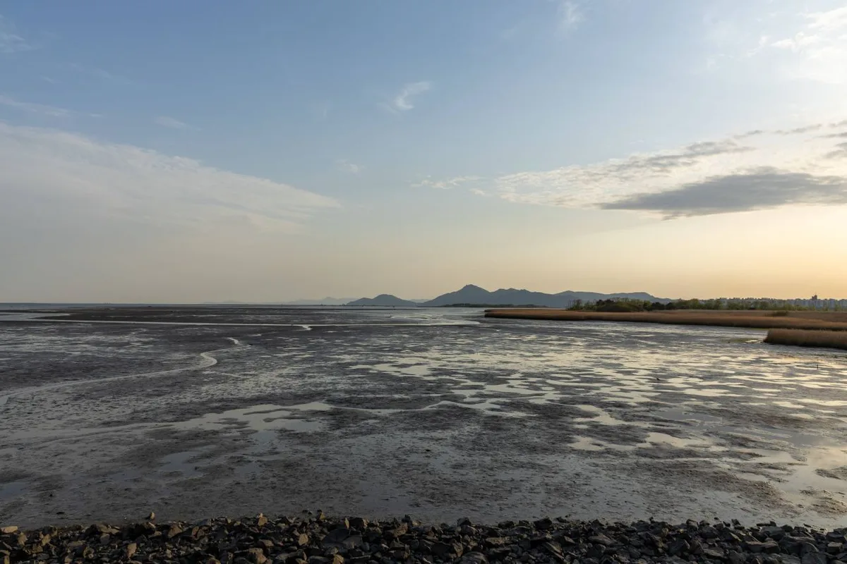
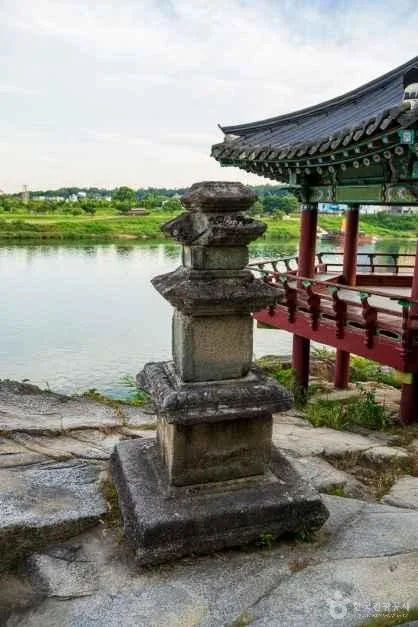 Photo: Korea Tourism Organization photo gallery (Cheonsong-dong, Yeoju-si, Gyeonggi-do) · KOGL Type 1
The route is one-way, starting near Paldang and following the Namhan River upstream toward Tangeumdae in Chungju. The early stretch runs along a bike path converted from the old, decommissioned Jungang rail line — you’ll pass through several dark tunnels, with viewing decks overlooking the river popping up one after another. Past Yangpyeong, it shifts to proper river-side bike-only lanes, flat and separated from car traffic the rest of the way.
Key waypoints, in order, are: starting near Paldang, then Neungnae, Yangpyeong, Ipo Weir, Yeoju Weir, Gangcheon Weir, Binaeseom, and finally Tangeumdae in Chungju. This route counts toward the National Cross-Country Cycling certification, with stamp stations placed along the way at Neungnae Station, Yangpyeong, Ipo Weir, Yeoju Weir, Gangcheon Weir, Binaeseom, and Chungju Tangeumdae. The weirs along this Namhan River stretch of the Four Major Rivers project are landmarks in their own right and double as natural checkpoints, so passing each one gives you a built-in way to pace yourself.
The surface is mostly well-paved, river-side dedicated bike path, with a bit of shared road or narrower path mixed in through some village and levee sections. Climbs only show up briefly around weir approaches or detour sections, so overall it’s a gentle ride.
Local Food Along the Way
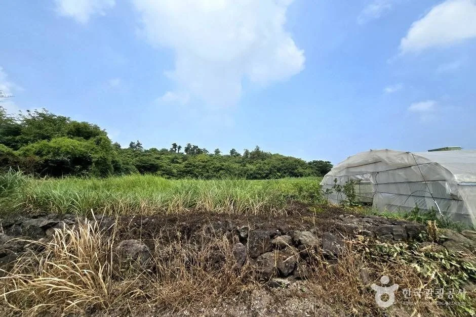
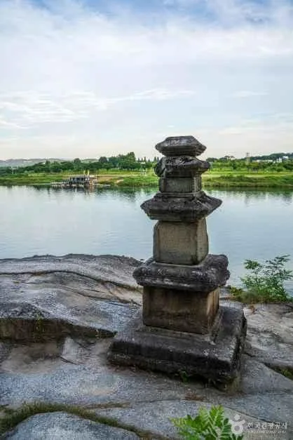 Photo: Korea Tourism Organization Tourist Photo Gallery (Cheonsong-dong, Yeoju, Gyeonggi-do) · KOGL
Every region the route passes through has its own well-known local specialty, so it’s worth timing your stops around food as well as rest.
- Paldang/Neungnae area: A loose cluster of river-view cafés and noodle shops makes this a natural early rest stop.
- Yangpyeong: Yangpyeong is generally known for haejangguk (hangover soup) and Korean beef (hanwoo). If you need a solid meal, this is usually the stretch to grab one.
- Yeoju: Yeoju has long been famous for its rice, so rice-based set meals are the go-to local dish here. Farm snacks like peanuts and sweet potatoes are also popular for restocking supplies.
- Chungju: Near the finish, Chungju is well known for its apples and olgaengi (freshwater snail) haejangguk, making it a reasonably good choice for a post-ride meal.
That said, some stretches between the weirs—especially south of Yeoju—can go long distances without convenience stores or restaurants. Fill up on water and snacks whenever you pass through a town, and if you spot a convenience store, it’s worth stocking up in case a no-supply stretch is coming up.
Supplies & Amenities
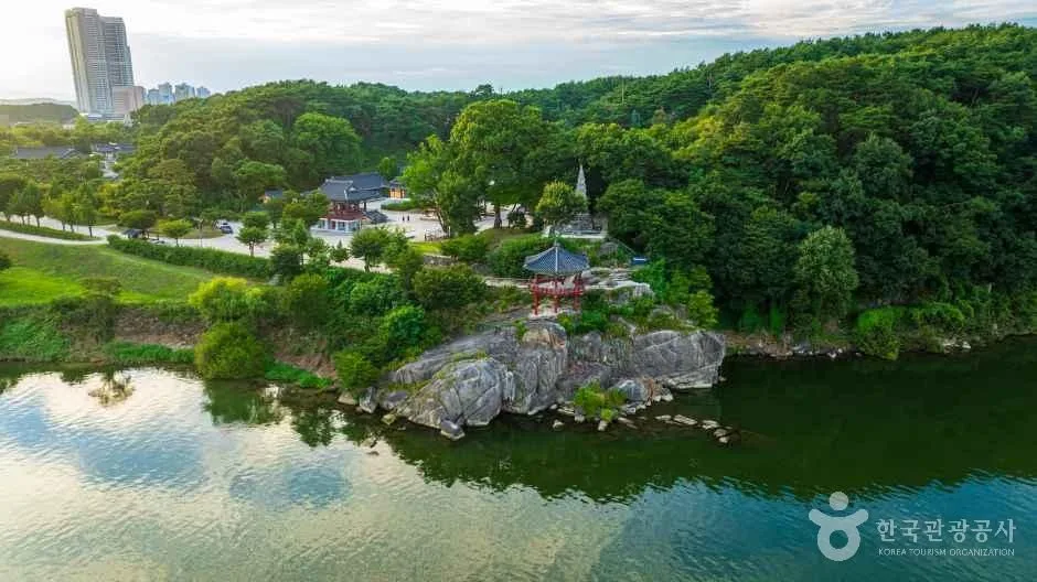 Photo: Korea Tourism Organization Tourism Photo Gallery (Cheonsong-dong, Yeoju, Gyeonggi-do) · KOGL
This route is one of the better-equipped stretches on the national cross-country cycling network. Along the way you’ll find 8 certification centers, 38 restrooms, 8 water stations, and 4 air pumps, so you can relax a bit when it comes to refilling your water bottle, finding a bathroom, or doing minor bike maintenance. That said, the water stations and air pumps are limited in number, so it’s smart to top off your water and check your tire pressure whenever you happen to pass one — don’t assume you’ll find another right away.
Since this is a certified route, the key thing to bring along is a certification passport (the cyclist’s stamp book). Each certification center has a stamp on hand, and you fill in the corresponding box in your passport as you go. At staffed centers, you can just ask the person on duty; at unstaffed ones, the stamp sits inside a little red booth. Collect all 8 stamps and you’ll have your completion certified for the section.
Return Trip Planning
 Photo: Korea Tourism Organization Photo Gallery (Cheonsong-dong, Yeoju, Gyeonggi-do) · KOGL
Since this is a one-way route of 132km, figuring out how to get back to your starting point is something you’ll want to sort out well before you set off.
- By train (the most common option): Making your way to a train station near the endpoint on the Chungju side and taking a train back is probably your easiest bet. Korea’s regular trains (Mugunghwa, ITX, etc.) generally allow you to bring your bike on board, and some even have dedicated bike racks. KTX high-speed trains are a different story — you’ll usually need to fold your bike and pack it to meet the baggage rules, so unless you’re riding a folding bike like a Brompton or a mini-velo, you’re better off sticking to the regular train lines. Rules on bringing bikes aboard vary by train type and time of day, so it’s worth double-checking before you buy your ticket.
- By bus: Intercity and express buses typically require you to fold or partially disassemble your bike to fit it in the luggage compartment, and whether they’ll let you on can depend on the driver’s discretion and how crowded the bus is. If you’re heading back toward Paldang, nearby stops like Daesun Jilli, Saemaul Jutaek-ap, and Paldang Station are worth keeping in mind.
- Riding back the way you came: If you’ve got the legs and the time for it, you could just retrace your route back to Paldang. Keep in mind, though, that this turns the ride into a 264km round trip, so you’ll want to plan for at least an overnight stay somewhere along the way.
Safety Notes
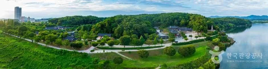 Photo: Korea Tourism Organization photo gallery (Cheonsong-dong, Yeoju, Gyeonggi-do) · KOGL Type 1
- Shared paths and pedestrian sections: Some village and levee stretches are shared bike/pedestrian paths. Watch for walkers, pets, and oncoming cyclists — slow down and ring your bell as a heads-up.
- Tunnel section: The old railway tunnel near the start is dark and noticeably cooler inside, so it’s safer to turn on your headlight and take off your sunglasses to keep your visibility up.
- Ice and fallen leaves: In winter and late fall, shaded riverside stretches and bridges can ice over or get slick with wet leaves — take it slow through those spots.
- Night lights: Rides tend to run longer than planned, so you’re often still out after sunset — front and rear lights are a must, not an option.
- Water and dehydration: There are only 8 water stations along the route, with some long stretches in between, so carry plenty of water and drink before you actually feel thirsty to stay ahead of dehydration.
Season, Weather, and Gear
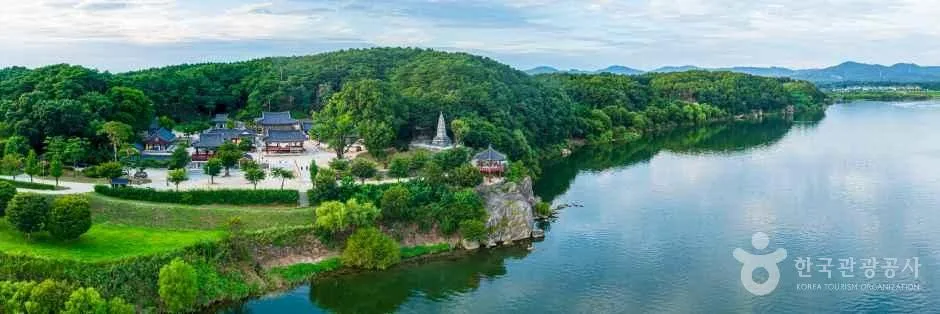 Photo: Korea Tourism Organization photo gallery (Cheonsong-dong, Yeoju, Gyeonggi-do) · Public Nuri
Spring (April–June) and fall (September–October) are the best seasons to go. The mild temperatures and the riverside scenery at its finest make these the sweet spot for long-distance rides.
- Summer: There’s little shade along the riverbank, so you’re exposed to the midday heat and direct sun the whole way. Head out early in the morning, slather on sunscreen, and keep the water coming.
- Winter: The river wind cuts hard and there’s a real risk of ice, which bumps up the difficulty. Gear up with windproof, insulated layers, avoid icy sections, and stick to daylight hours.
- Wind: A headwind blowing along the river can drain your energy fast, so pace yourself accordingly.
Essential gear: helmet, front and rear lights, a puncture repair kit (spare tube, portable pump, tire levers), plenty of water and snacks, sun protection and windproof clothing, and — if you’re going for certification — your certification passbook.
Tips for Foreign Travelers
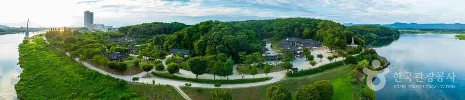 Photo: Korea Tourism Organization photo gallery (Cheonsong-dong, Yeoju, Gyeonggi-do) · KOGL
① Route name in Roman letters: This route is the Namhangang Bike Path (also called the Namhan River Bike Path), a core section of the Seoul-to-Busan cross-country ride known as Gukto-jongju.
② A practical guide to the certification system: This route is part of Korea’s bike-path certification program.
- Bike Passport: Buy this in person at a staffed certification center. The official reservation/purchase site is Korean-only, and paying with a foreign card or ID tends to be tricky, so it’s more realistic to just pick one up after you arrive.
- Unmanned certification booths: These look like a red phone booth and hold a stamp and ink pad inside. Just stamp the matching space in your passport for that route.
- Rewards for finishing: Collect stamps from all 8 certification centers along a section and you’ll get a completion sticker; finish the entire cross-country route and you’re said to receive a completion certificate and medal.
③ If you’re coming without a bike: You can rent one locally, or in the Seoul metro area, use the public bike-share system Ttareungi. It has an English app and accepts foreign cards, making it fairly accessible. That said, Ttareungi is meant for short city trips — for a long-distance ride, a road or hybrid bike from a rental shop is a better fit.
④ Map apps: Google Maps’ cycling directions are often unreliable in Korea. I’d recommend using the cycling mode on KakaoMap or Naver Map instead — both support English and are far more accurate for tracking the cross-country bike path and certification center locations.
Other bike paths nearby
- Bukhangang Bike Path — Chuncheon Course, 4 Certification Centers — about 55 km straight-line
- Hangang Jongju (Han River) Bike Path — 56 km Certification Center Course — about 60 km straight-line
- Saejae Bike Path — Course, Distance, 7 Certification Centers — about 71 km straight-line
📍 Namhan River Bike Path: Route, Distance, and Certification CentersLocation
Contact: bumseok.view [at] gmail [dot] com
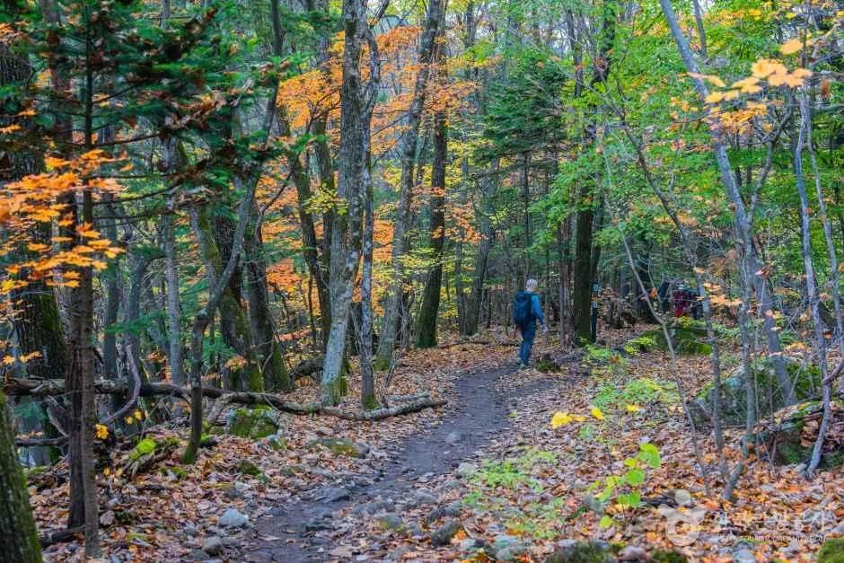
Comments