North Han River Bike Path: Chuncheon Route & 4 Certification Centers
Cycling · Published 7/22/2026 ·
자전거길 트랙·시설 (공공데이터: 행정안전부 국토종주 자전거길 DB) · 🏆인증센터 💧급수대 🚻화장실 🔧공기주입기 · 지도 © OpenStreetMap ⤓ GPX 다운로드
At a Glance
| Metric | Rating |
|---|---|
| Course Difficulty | ★★★☆☆ |
| Amenities (certification centers, water stations) | ★★★☆☆ |
| Certification Centers (4 total) | ★★★☆☆ |
| Seasonal Difficulty — Spring | ★★★★☆ |
| Seasonal Difficulty — Summer | ★★☆☆☆ |
| Seasonal Difficulty — Fall | ★★★★★ |
| Seasonal Difficulty — Winter | ★★☆☆☆ |
※ Source: Ministry of the Interior and Safety National Cross-Country Bike Path DB · Seasonal ratings are for reference only
Overview
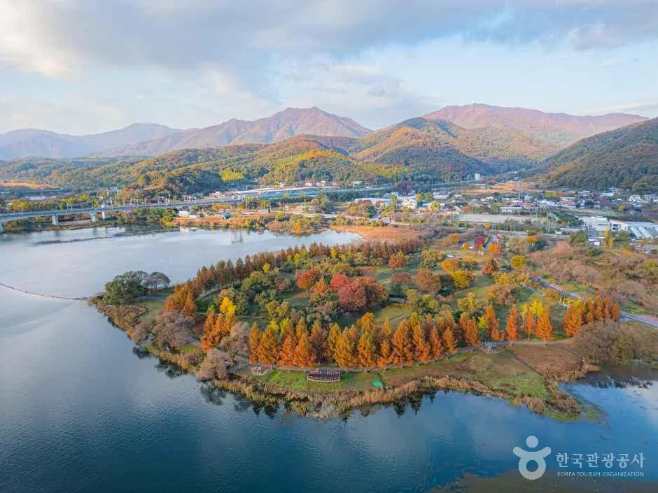 Photo: Korea Tourism Organization photo gallery (Joan-myeon, Namyangju, Gyeonggi-do) · Korea Open Government License
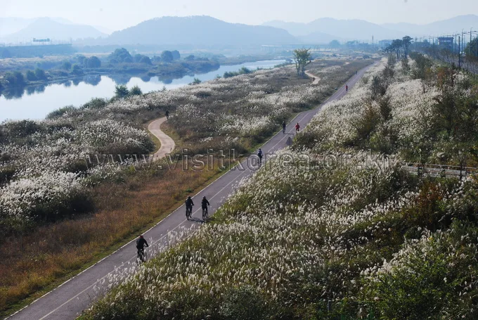
The Bukhangang Bicycle Path runs from Namyangju, on the eastern edge of the greater Seoul area, through Cheongpyeong, Gapyeong, and Gangchon, all the way to the lakeside city of Chuncheon — a route where the river and mountains run side by side the whole way. Because it follows the old Gyeongchun rail line and the course of the Bukhangang River, there’s almost no steep grade to worry about, and the mix of riverside bike-only paths, deck sections, and converted stretches of abandoned rail bridge keeps the scenery from ever getting dull. Misty mornings over the river and mountainsides glowing with pine and autumn foliage are especially beautiful here, which is why this route consistently ranks among Korea’s “most picture-perfect bike paths.”
There’s more than one way to make the most of it. First, it works great as a one-day ride. Start early from the Namyangju side and you can reach Chuncheon at a relaxed pace, grab dakgalbi for lunch, and take the train back the same day. Second, it’s a solid overnight leg for a longer tour — riders doing a multi-day trip out of Seoul often spend their first night in Chuncheon before backtracking or linking up with another route the next day. Third, this is the route that’s practically built for folding bikes paired with public transit — the Gyeongchun Line subway and the ITX-Cheongchun train both run alongside it, so if your legs give out, you can fold up your Brompton or mini-velo at any station along the way and hop a train. Fourth, thanks to the gentle grades, there’s plenty of room for families and beginners to ride shorter stretches (say, Ungilsan Station to Daeseong-ri, or Gangchon to Chuncheon).
Course Info
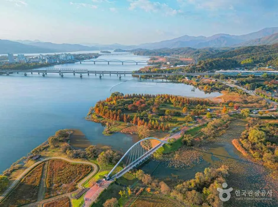 Photo: Korea Tourism Organization photo gallery (Joan-myeon, Namyangju, Gyeonggi-do) · KOGL Type 1
The route starts around Bright Square (Balgeun Gwangjang) in Namyangju and ends at Sinmae Bridge in Chuncheon. Early on, you pass Ungilsan Station and the fork near Dumulmeori, running along the North Han River on your right before rolling through Daeseong-ri and Cheongpyeong, then on to Gapyeong, Gangchon, and finally Chuncheon. Most of the route is riverside bike paths and boardwalks separated from traffic, so it’s safe riding, and the stretches through the converted old railway bridges and tunnels give you cool shade along with wide-open river views. The Cheongpyeong Dam and Gangchon gorge sections are the standout photo spots, where the water and mountains really come together.
This route is part of the national cross-country certification program, with four certification centers along the way: starting from the Bright Square center in Namyangju, then Saetteo Samgeori, Gyeonggang Bridge, and finishing at the Sinmae Bridge center at the end. Stopping at each certification center as you go naturally breaks the ride into manageable segments, which helps with pacing. The surface is generally flat, but you’ll want to slow down where the path enters town centers or shares space with pedestrians and local cyclists, since your path overlaps with theirs in those spots.
Local Food Along the Way
 Photo: Korea Tourism Organization photo gallery (Joan-myeon, Namyangju, Gyeonggi-do) · KOGL Type 1
The closer you get to Chuncheon, the more food options open up. Chuncheon, the endpoint of the route, is generally known for dakgalbi (spicy stir-fried chicken) and makguksu (buckwheat noodles), and a lot of riders reward themselves with one of the two after finishing the ride. Gapyeong, a stopover along the way, is typically known for local dishes made with pine nuts — think pine nut noodles or pine nut porridge — while the Cheongpyeong and Gangchon area is said to have its own riverside specialties, like freshwater fish dishes and spicy fish stews. Rather than pointing to any specific restaurant, I’d just suggest looking for these signature foods around each town’s center or near the train stations.
As for supplies, convenience stores and cafés tend to cluster around the stations and tourist spots in places like Daeseong-ri, Cheongpyeong, Gapyeong, and Gangchon. That said, some stretches of the riverside dedicated bike path run well away from any village, with no supply points at all — so it’s safer to stock up on water and snacks whenever you pass near a station.
Supplies & Amenities
 Photo: Korea Tourism Organization photo gallery (Joan-myeon, Namyangju, Gyeonggi-do) · KOGL Type 1
According to the Ministry of the Interior and Safety’s bike path database, this route has 4 certification centers, 20 restrooms, and 3 air pumps. There are, however, zero water stations, so you’ll need to sort out your own drinking water at convenience stores, vending machines, or facilities near the certification centers. Twenty restrooms is generous for a riverside trail, which makes it easy to plan rest stops, and knowing where those 3 air pumps are ahead of time comes in handy for keeping your tire pressure in check.
Since this is a certified route, it’s worth picking up a Bike Passport. Each certification center has a stamp on hand, and you mark your progress by stamping the corresponding box in the passport. At staffed centers you can buy the passport on the spot; at unmanned booths, you just stamp it yourself. Honestly, collecting the stamps is half the fun of riding this route.
The Return Trip
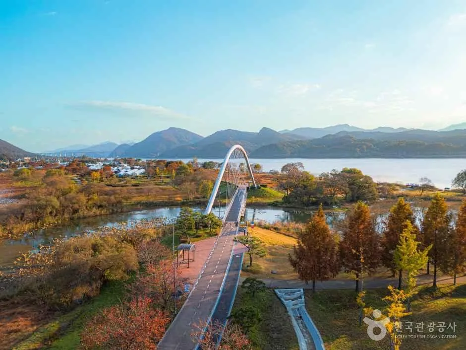 Photo: Korea Tourism Organization photo gallery (Joan-myeon, Namyangju, Gyeonggi-do) · KOGL Type 1
Since this route is a 70km one-way stretch, you’ll want to figure out how you’re getting back to your starting point before you even set off — don’t leave it as an afterthought once you roll into Chuncheon.
The most convenient option is taking the train back. From Chuncheon Station, you can catch the Gyeongchun Line commuter train or the ITX-Cheongchun to head back toward Namyangju or Seoul. Regular trains and the subway generally allow bikes on board, but if you’re riding a standard (non-folding) bike, there can be restrictions depending on the day of the week, time slot, or whether bike racks are available — worth double-checking before you show up at the platform. On high-speed trains like the KTX, folding bikes typically need to be collapsed down and packed to meet baggage rules. If you’re on a folding bike or a mini-velo, this whole process is a lot smoother.
You could also take a bus, though bike loading tends to be hit-or-miss depending on the driver and route, so I wouldn’t recommend it unless you’re on a folding bike. For stops near the start/end points, Chuncheon Station Pedestrian Overpass, Chuncheon Station Exit 1, Ungilsan Station, and Jinjung-ri/Joan-myeon Sports Park are worth keeping in mind.
Last option: riding back the way you came (140km round trip). That’s really for riders doing the full course who’ve got the legs and the time for it. Rather than pushing through it all in one day, I’d suggest staying overnight in Chuncheon and heading back the next day.
Safety & Precautions
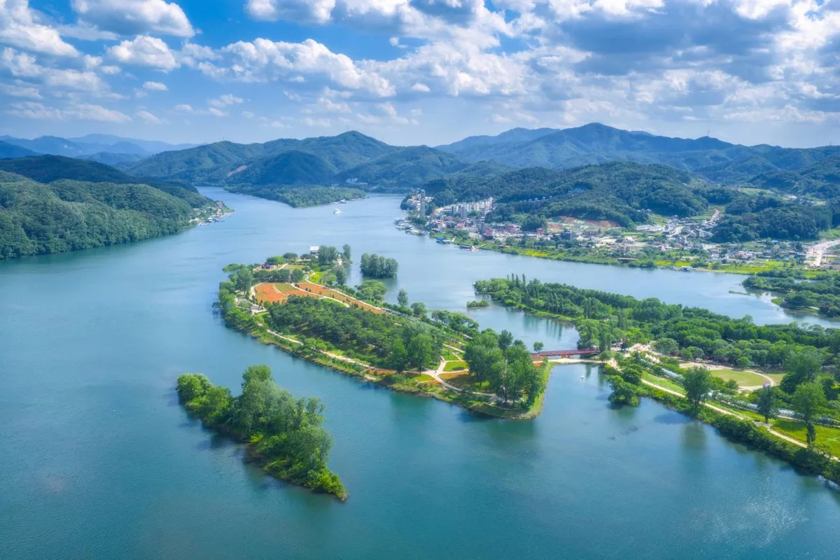 Photo: Korea Tourism Organization photo gallery (Gapyeong-eup, Gapyeong-gun, Gyeonggi-do) · KOGL
Most of the route runs along dedicated riverside paths, but near the urban approaches and in a few shared-use sections, you’ll be crossing paths with pedestrians and joggers. Slow down there and give a bell ring as you pass. In winter and early spring, watch out for icy patches that can linger on bridges and shaded deck sections — they’re slicker than they look. Tunnels and the old disused railway bridge stay dark even at midday, so front and rear lights are genuinely useful, and if you’re riding when daylight’s short or after dark, lights aren’t optional. There are no water stations along this route, so keep an eye on hydration — top up fully before heading into any unsupported stretch, especially on hot days.
Season, Weather, and Gear
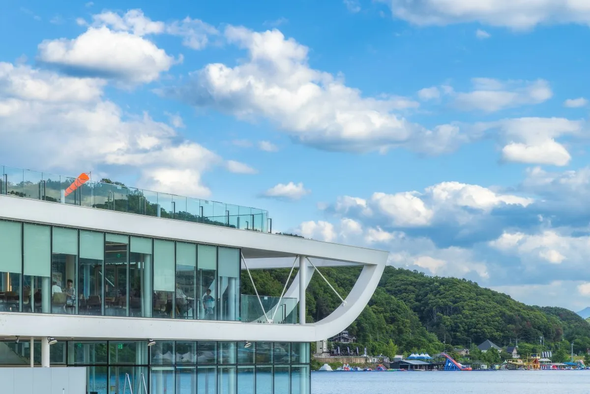 Photo: Korea Tourism Organization photo gallery (Gapyeong-eup, Gapyeong-gun, Gyeonggi-do) · KOGL Type 1
Spring and fall are the seasons to aim for. The Bukhangang riverside is at its best in autumn, when the leaves turn — arguably the finest scenery on the whole route. Summer brings brutal heat and strong sun, and some stretches along the river offer little shade, so I’d start early in the morning if you’re riding then. Winter ups the difficulty with icy patches and cold river winds. And no matter the season, the headwinds that come with riverside routes like this one will drain your legs faster than you’d expect, so pace yourself accordingly.
For gear, make sure you’ve got the essentials: a helmet, front and rear lights, and a flat-repair kit (spare tube plus a portable pump), along with plenty of water and snacks. There are no water stations along the way, so bring more water than you think you’ll need, and in summer, sun protection and a change of clothes are worth packing too.
Tips for Foreign Travelers
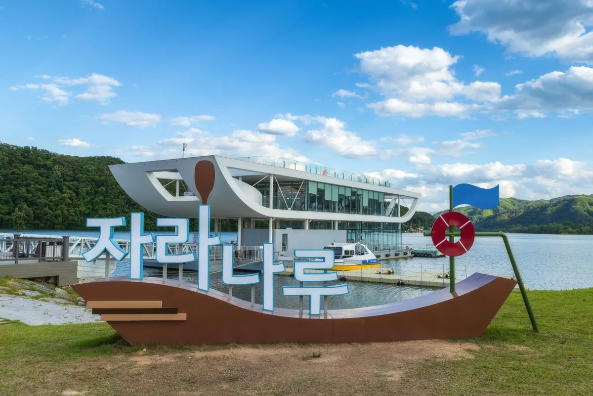 Photo: Korea Tourism Organization photo gallery (Gapyeong-eup, Gapyeong-gun, Gyeonggi-do) · KOGL
① Route name — The Bukhangang Bicycle Path is romanized as Bukhangang Bicycle Path, and you’ll also see it signposted as “North Han River Bicycle Path.” The route ends in Chuncheon, and the main station near the starting point is Ungilsan Station.
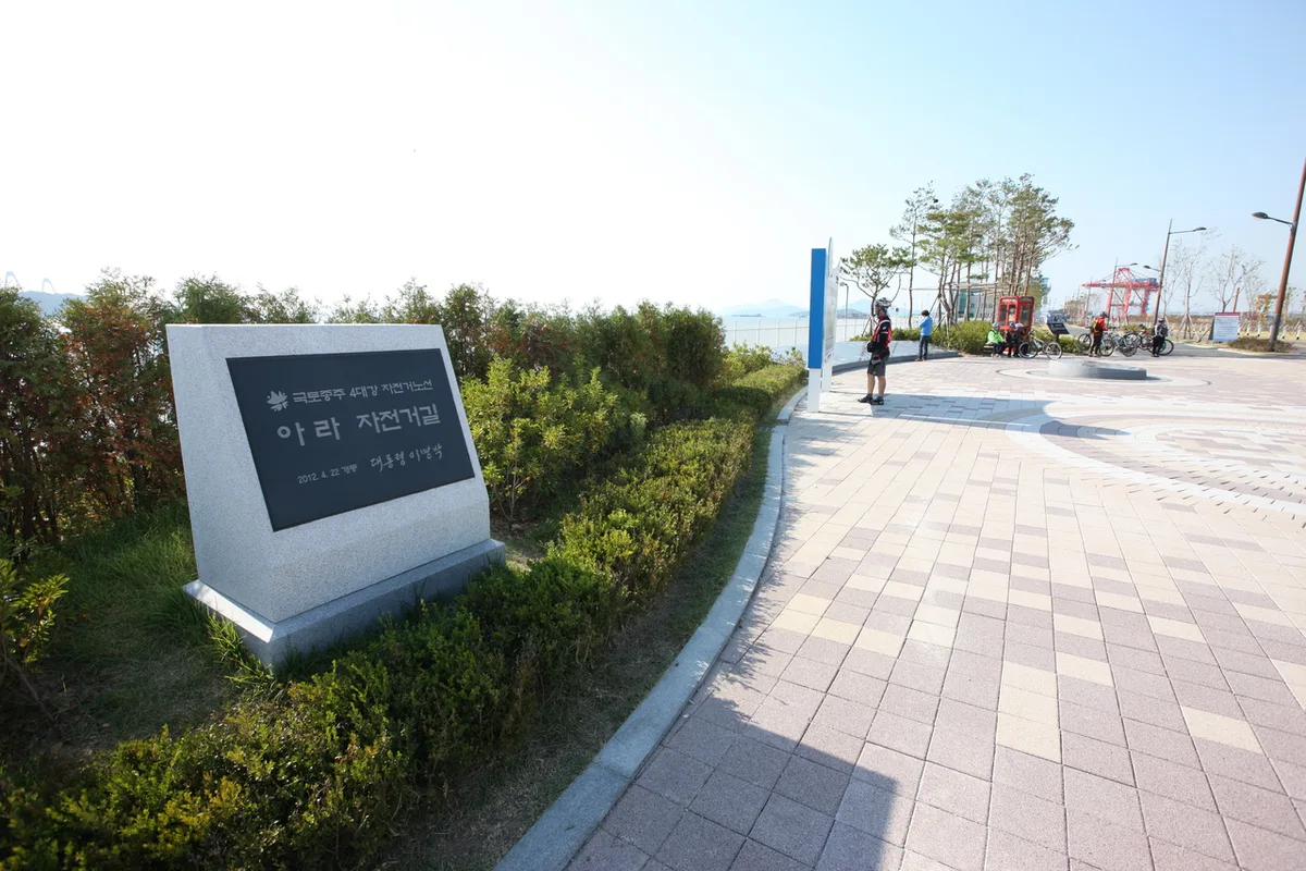
② A practical guide to the certification system — This route falls under Korea’s national cross-country cycling Certification program. Your safest bet is to buy a Bike Passport in person at a staffed certification center. The official reservation site is Korean-only, and between the language barrier and Korea’s identity-verification requirements, booking online ahead of time with a foreign card is genuinely difficult — so just plan on buying one on the spot. The unmanned certification centers look like red phone-booth-style stamp booths; just use the stamp inside to mark the matching box in your passport. Complete a section and you get a certification sticker, and if you finish the entire national cross-country route, there’s a system for issuing a completion certificate and medal.
③ If you’re arriving without a bike — You can rent one locally at rental shops near tourist spots like Gangchon and Chuncheon. In the Seoul area, there’s also the public bike-share system Ttareungi, which has an English app and supports foreign card payments, making it pretty accessible. That said, Ttareungi is mostly geared toward getting around inside Seoul, so it’s better suited to short connector rides than a long-distance tour.
④ Map apps — Google Maps’ cycling directions are often inaccurate in Korea, or simply don’t offer a route at all. Instead, use the bike mode on KakaoMap or Naver Map — the cycling routes are far more accurate. Both apps support an English interface, so it’s worth installing one before you set out.
Other bike paths nearby
- Hangang Jongju Bike Path — 56km certification center course — about 40km in a straight line
- Ara Bike Path — full rundown of course, distance, and certification centers — about 68km in a straight line
📍 North Han River Bike Path: Chuncheon Route & 4 Certification CentersLocation
Contact: bumseok.view [at] gmail [dot] com
Comments