Han River Bike Path 56km Certification Center Course
Cycling · Published 7/26/2026 ·
자전거길 트랙·시설 (공공데이터: 행정안전부 국토종주 자전거길 DB) · 🏆인증센터 💧급수대 🚻화장실 🔧공기주입기 · 지도 © OpenStreetMap ⤓ GPX 다운로드
At a Glance
| Metric | Rating |
|---|---|
| Course difficulty | ★★★☆☆ |
| Amenities (certification centers, water stations) | ★★★★☆ |
| Certification centers | ★★★★☆ (5 locations) |
| Seasonal difficulty — Spring | ★★☆☆☆ |
| Seasonal difficulty — Summer | ★★★★☆ |
| Seasonal difficulty — Fall | ★☆☆☆☆ |
| Seasonal difficulty — Winter | ★★★★☆ |
※ Source: Ministry of the Interior and Safety’s national cross-country bike path database · seasonal ratings are for reference only
Overview
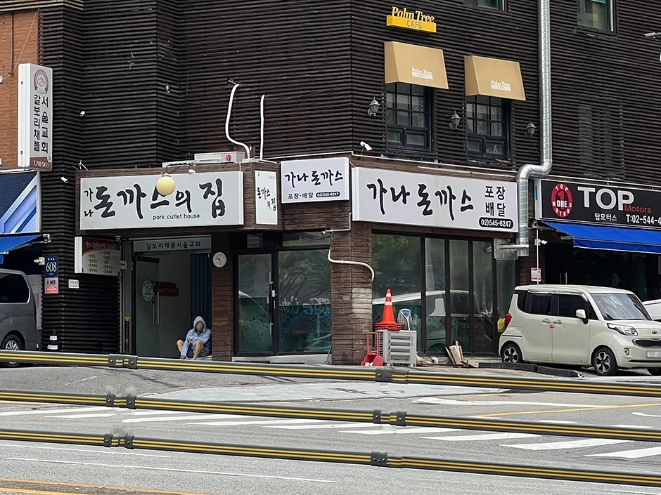 Photo: Korea Tourism Organization photo gallery (608 Eonju-ro, Gangnam-gu, Seoul) · KOGL Type 1
The Han River Cycling Route (한강종주자전거길, Hangang Jongju Jajeongeo-gil) is one of Korea’s signature riverside bike paths, tracing the Han River as it cuts across Seoul from east to west. What makes it special is that even though it runs straight through the heart of the city, most of the route is a dedicated riverside bike path — so instead of dodging traffic and waiting at lights, you get to just ride, with nothing but the river, the sky, and the city skyline for company. The surface is smooth and mostly flat, with barely any steep grades, so it works just as well on a road bike as it does on a mini-velo or hybrid.
There’s more than one way to enjoy this route. First, it’s a favorite for half-day out-and-back rides. If you’re staying in central Seoul, you can carve out an afternoon, pick a spot along the Han River Park, ride as far as you feel like, then turn around and come back — the distance is entirely up to your legs and your schedule. Second, it works as a gateway leg for the national cross-country cycling route. The Han River Cycling Route is part of Korea’s official cross-country certification network, and plenty of riders finish this stretch and keep going toward the Namhan River or the Ara Waterway for a proper long-distance tour. Third, it pairs beautifully with folding-bike travel via public transit — think Brompton or similar mini-velos. Fold it up, hop on the subway or a train, unfold it right at the riverside, ride just the section you want, then fold it back up to head home. Fourth, thanks to the flat, safe surface, it also makes a great starter route for families and beginners — just pick a short stretch for your first ride.
Course Details
 Photo: Korea Tourism Organization Photo Gallery (35 Eonju-ro 167-gil, Gangnam-gu, Seoul (Sinsa-dong)) · KOGL
The Han River Bike Path runs one-way along the main stem of the Han River, and what I love about it is how simple and intuitive the layout is — you just follow the river. It threads through Seoul’s various Han River parks one after another — Jamsil, Ttukseom, Banpo, Yeouido, Nanji, and so on — and every one of them has restrooms, convenience stores, snack stands, and rest areas, so you’re never far from a break.
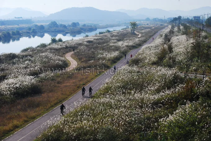
The surface is mostly a dedicated bike path running along the riverbank. Long stretches are physically separated from pedestrian walkways, so you can comfortably pick up speed, but around the crowded park areas and under bridges you’ll hit shared sections where cyclists and pedestrians mix — that’s where you need to slow down. The scenery changes character from one stretch to the next. In the downtown sections you get views of the 63 Building, the Yeouido skyline, the migratory bird habitat on Bamseom Island, and all the different Han River bridges, while further out toward the edges of the city, reed beds, silver grass, and wide grassy floodplains take over — a nice bit of nature in the middle of the city.
This route is also part of the national cross-country certification program. You stamp your passport at the certification centers along the riverbank as you go, and they’re usually set right beside the bike path in an easy-to-spot spot, so stopping by doesn’t really break your rhythm. Filling in those stamps one by one ends up being its own little reason to keep riding this route.
Nearby Food Options
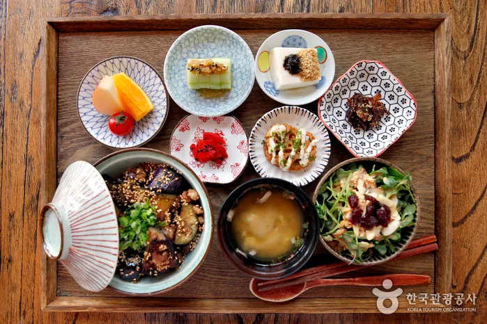 Photo: Korea Tourism Organization Photo Gallery · KOGL
The stretch of the Han River bike path running through Seoul is genuinely well-stocked when it comes to food. You’ll find convenience stores and small shops scattered throughout the Han River Park, so drinks, quick snacks, and instant noodles are never far away. In fact, grabbing a cup of ramyeon and instant meals by the river is practically a Han River tradition at this point — worth pulling over for, just to eat with the wind coming off the water.
Head a little inland from the riverbank and you’ll run into each area’s local specialties. Broadly speaking, in central Seoul you can easily find everyday Korean staples like gimbap, bunsik (Korean street-food snacks), and gukbap, alongside plenty of international options. Near business districts like Yeouido and Jamsil, cafes and restaurants cluster together, making it easy to restock and grab a meal in one stop. Delivery and takeout are also huge here, so it’s common to just order food and eat it near the park. That said, rather than picking a specific restaurant ahead of time, I’d just go with whatever catches your eye in the area you happen to be riding through that day.
One thing worth knowing: along the riverside bike-only paths, convenience stores and shops are sometimes set back a bit from the river, near the park entrances rather than right on the path — so if you’re not paying attention, you can go a surprisingly long stretch without hitting a resupply point. Stock up generously on water and snacks before you set out, and top up whenever you do spot a convenience store.
Supplies & Amenities
 Photo: Korea Tourism Organization Photo Gallery (204 Gangnam-daero, Seocho-gu, Seoul (Yangjae-dong)) · KOGL
Being a riverside urban stretch, this route is well equipped with amenities. There are 5 certification centers spread along the way, so you can collect your stamps as you go, and 80 water stations dotted throughout make it fairly easy to top up on water. Restrooms number 217, spaced closely enough that you can focus on riding without worrying about nature’s call. The one gap is air pumps — only 1 along the whole route — so it’s safer to check your tire pressure and prep for flats before you set out. I’d recommend bringing a portable pump or a CO₂ inflator along.
Since this is part of the national cross-country certification network, it’s worth picking up a Bike Passport (the official cycling certification booklet). It has a slot for each route’s certification stamp, so you build up a record of your ride center by center. Staffed centers sell the passport on site, while unstaffed ones just have a stamp you use yourself. Once you’ve filled in all the stamps for a section, you can go through the certification process to get official recognition for completing it.
Return Plan
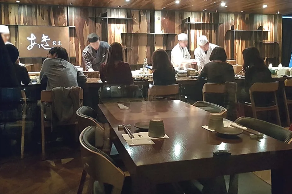 Photo: Korea Tourism Organization Tourism Photo Gallery (8-3 Cookie Building, Dosan-daero 45-gil, Gangnam-gu, Seoul) · KOGL Type 1
The Han River Cross-Country Bike Path is a long one-way route at 56km, so it’s worth planning ahead for how you’ll get back to your starting point once you hit the end — nothing worse than standing there at the finish line with no idea what’s next. There are basically three ways to handle it.
① Take the train. Catching a train from a station near the endpoint is usually the most convenient option. Regular trains like the Mugunghwa or Saemaul tend to let you bring your bike on board as-is, and some even run cars with dedicated bike racks. High-speed trains like the KTX are a different story, though — as a rule, they only allow folding bikes packed into a bag or cover of regulation size, treated as luggage, so a regular bike is pretty much a no-go there. Worth double-checking train schedules and bike policies when you book.
② Take the bus. You can also disassemble and pack your bike, or fold it if it’s a folding model, and stow it in the cargo hold of an intercity or express bus. Just know that whether bikes are allowed varies by company and route, so check ahead of time. If there’s a bus stop near the trail, it’s worth noting as a transfer point to public transit.
③ Ride back the way you came (round trip). The simplest option, though it’ll take a toll on your legs — retracing your route brings the total to about 112km round trip. Pulling that off in a single day takes real stamina and careful time management, so make sure to factor in when you’ll reach the turnaround point, how much energy you’ll have left, and when the sun sets. If you’re not confident in your endurance, I’d suggest turning back partway, or just riding as far as feels good and then heading to the nearest subway station to head home — folding bike in tow.
Safety & Precautions
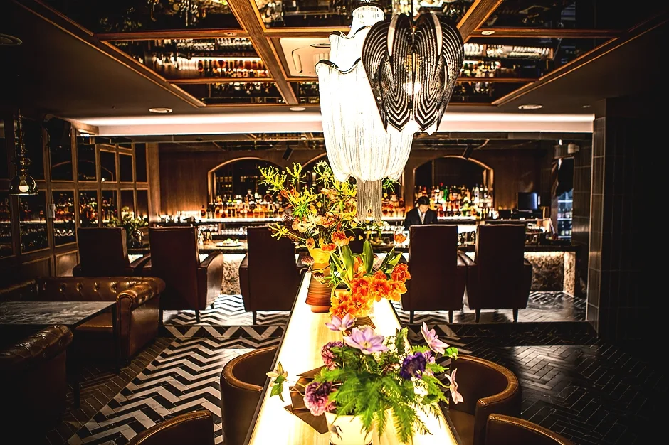 Photo: Korea Tourism Organization photo gallery (10 Sinsa-dong, Nonhyeon-ro 163-gil, Gangnam-gu, Seoul) · KOGL
Even on a dedicated riverside bike path, you can’t let your guard down. Near dense park areas, under bridges, and around entry ramps, you’ll often find shared paths used by both pedestrians and cyclists, so in crowded sections, slow down well in advance and give people a heads-up with your bell or voice. Weekend and holiday afternoons especially draw big crowds of walkers and joggers, so be extra careful then.
In winter, early spring, and late fall, watch out for ice in shaded riverside sections. Spots under bridges or beneath tree cover can stay icy even during the day, and that means a real risk of slipping. Some stretches along the river also have no lighting, so it gets dark fast once the sun goes down — make sure you’ve got a front and rear light mounted, and if you’re riding at night, wear something with reflective material.
Since this is a long-distance route, staying hydrated and managing your water intake matters too. There are water stations along the way, but depending on the season and time of day, some may not be usable, so always carry more water than you think you’ll need and drink regularly before you actually feel thirsty.
Season, Weather, and Gear
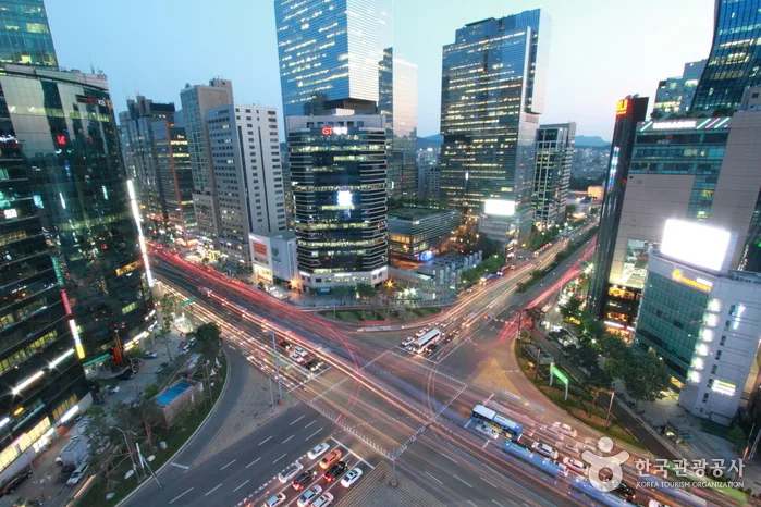 Photo: Korea Tourism Organization Photo Gallery (161 Apgujeong-ro, Gangnam-gu, Seoul (Apgujeong-dong)) · KOGL
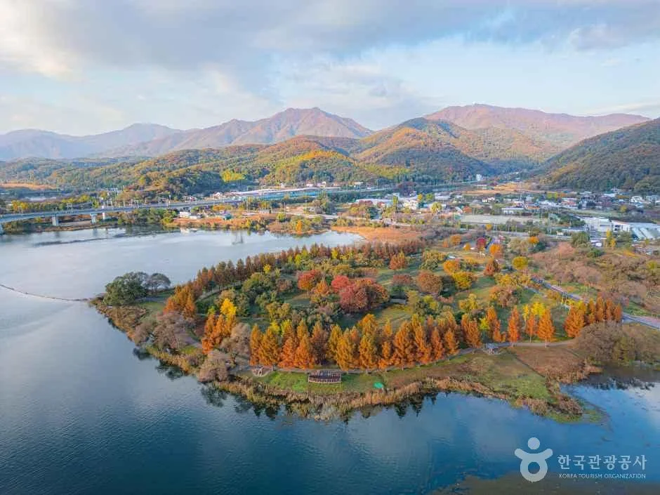
The most pleasant seasons for this ride are spring (April–May) and fall (September–October). Mild temperatures and low humidity make for ideal long-distance riding conditions, and in fall especially, the combination of silver grass and autumn foliage along the riverbank is really something.
A few seasonal things to watch for: in summer, there’s very little shade along the river, so you’re exposed to direct sun and radiant heat the whole way. Between the heat, sudden showers, and high humidity, you’ll burn through energy fast — aim for early morning or dusk, and don’t skimp on sunscreen or water. In winter, the river wind cuts sharp, the wind chill drops fast, and there’s a real risk of ice, which bumps up the difficulty considerably. You’ll want proper windproof and insulating gear. Because of how exposed the riverside route is, headwinds can sap a surprising amount of energy — if you can, it’s worth planning your route so the wind’s at your back rather than in your face.
Essential gear: a helmet (non-negotiable for safety), front and rear lights (for night riding, tunnels, and shaded stretches), a puncture repair kit with a spare tube and portable pump (there’s only one air pump station along the way, so being able to fix a flat yourself matters), plenty of water and snacks, sunscreen, and weather-appropriate windproof/insulating or breathable clothing depending on the season.
Tips for Foreign Travelers
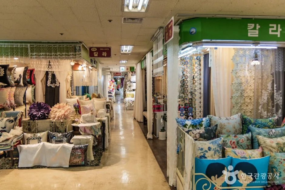 Photo: Korea Tourism Organization Photo Gallery (194 Banpo-ro, Seocho-gu, Seoul) · KOGL
① Route name (romanized). This route’s official name is the Hangang Jongju Jajeongeo-gil (Han River Cycling Route). If you need to ask locals for directions, saying “Hangang jajeongeo-gil” (“Han River bike path”) will get you understood most of the time.
② A practical guide to the certification system (this route is part of it). Korea’s cross-country cycling routes have a stamp-collecting system that certifies you’ve completed them.
- Bike passport: Your safest bet is to buy one in person at a staffed certification center. The official reservation site is Korean-only, and buying online in advance is often difficult if you’re using a foreign-issued card or don’t have Korean ID verification — so it’s best to come prepared to pay cash on the spot.
- Unmanned certification centers: Along the riverbank, you’ll spot booths shaped like red phone booths — these are the unmanned certification centers. Each one has an ink stamp hanging inside; just press it into the matching box in your passport. It’s also worth snapping a photo as backup, in case the ink has dried out or the stamp’s gone missing.
- Completion rewards: Once you’ve filled in every certification stamp along a route, you’ll typically receive a completion sticker, a certificate, and a commemorative medal. Hang on to your passport — you’ll need it to claim these.
③ If you don’t bring your own bike. No bike? You can rent one at the various bike rental stations scattered through Hangang Park. In the Seoul area, the public bike-share system Ttareungi (Seoul Bike) is a convenient option — it has an English-language app and accepts foreign-issued cards, making it easy for travelers to use. Check the app for station locations and available bikes; it’s especially well-suited for short rides around the city center.
④ Maps and navigation apps. In Korea, Google Maps’ cycling directions are often inaccurate or simply unsupported. Instead, use the bike mode on KakaoMap or Naver Map. Both apps route you along dedicated bike paths and offer English-language interfaces. It’s also worth saving the locations of key certification centers and your return train station in advance, in case you lose signal — a little prep goes a long way toward a worry-free ride.
Other bike paths nearby
- Ara Bike Path: full rundown of the course, distance, and certification centers — a straight shot of about 32km
📍 Han River Bike Path 56km Certification Center CourseLocation
Contact: bumseok.view [at] gmail [dot] com
Comments