The Seomjingang Bike Path: 154km and 8 Certification Centers
Cycling · Published 7/31/2026 ·
자전거길 트랙·시설 (공공데이터: 행정안전부 국토종주 자전거길 DB) · 🏆인증센터 💧급수대 🚻화장실 🔧공기주입기 · 지도 © OpenStreetMap ⤓ GPX 다운로드
At a Glance
| Metric | Rating |
|---|---|
| Course difficulty (based on total distance) | ★★★★★ |
| Supplies & amenities (certification centers, water stations) | ★★★★★ |
| Certification centers (8 total) | ★★★★★ |
| Seasonal difficulty · Spring (Mar–May) | ★★☆☆☆ |
| Seasonal difficulty · Summer (Jun–Aug, heat waves & monsoon) | ★★★★★ |
| Seasonal difficulty · Autumn (Sep–Nov) | ★★☆☆☆ |
| Seasonal difficulty · Winter (Dec–Feb, ice & northwesterly winds) | ★★★★☆ |
※ Source: Cross-Country Bicycle Route database, Ministry of the Interior and Safety of Korea · Seasonal ratings are approximate
Overview
The Seomjingang Bike Path starts in Damyang, Jeollanam-do, then runs through Sunchang and Imsil in Jeonbuk, Gokseong and Gurye in Jeonnam, and finally reaches the sea at Hadong and Gwangyang — following a single river from its beginning all the way to the end. Of all the long-distance routes in Korea, it’s the one people say smells most like a river. It barely touches a major city, and most of it strings together riverside bike-only paths and shared farm roads. There aren’t many sharp climbs, but the route itself is long, so how you pace your energy is what decides whether it goes well or badly.
Here are a few different ways to approach it.
① Two days, one night, end to end — the most common approach. Ride from Damyang to Gokseong or the Gurye area on day one and stay overnight, then finish from Gurye to the Gwangyang terminus on day two. Since you’re heading downstream the whole way, it feels less daunting than it sounds.
② Single-day section rides — if the full route in one day is too much, just carve out a stretch between certification centers. The Gokseong–Gurye–Namdodaegyo section is especially popular as a 40–60 km out-and-back day trip; the river is wide there and the scenery is worth the trip on its own.
③ Minivelo/Brompton plus train — there are train stations near the route at several points, so it works well to bag up a folding bike, take the train in, ride the stretch you want, and hop back on a train out. I’d especially recommend this if you’re short on time, or if you’re visiting from abroad.
④ Family and beginner sections — pick only the well-paved, wide-open stretches, like the area around the Gokseong Train Village or the riverside section in Gurye, and keep it short at 10–20 km.
Course Details
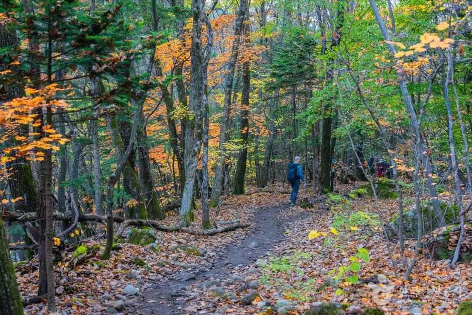
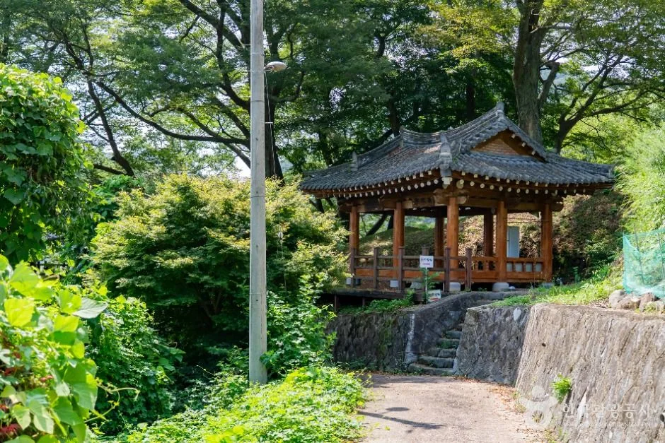 Photo: Korea Tourism Organization photo gallery (49 Cheondam 1-gil, Deokchi-myeon, Imsil-gun, Jeonbuk State) · KOGL
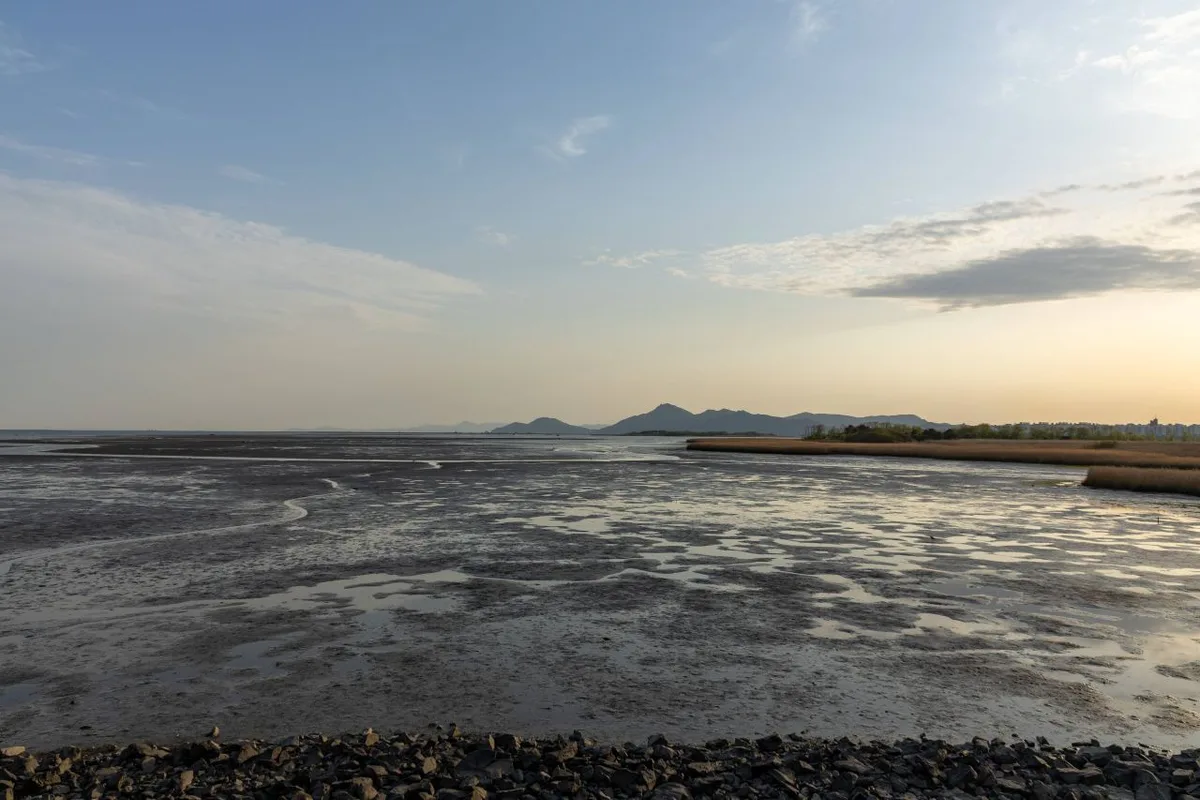
The route starts just below Damyang Dam, where the river begins, and ends at Baealdo Waterside Park in Gwangyang. It flows Damyang → Sunchang → Imsil → (the Namwon–Sunchang border) → Gokseong → Gurye → Hadong/Gwangyang, finishing at Gwangyang Bay, where the river finally meets the sea.
The eight certification centers give the ride a rhythm that follows the route’s own shape. Upstream, you pass the Seomjingang Dam Certification Center and drop into a gorge section where the water narrows, and around Janggunmok Certification Center in Sunchang the riverbed opens up into the strange rock formations and the famous Yogang Bawi (“chamber pot rock”). Past Hyangga Recreation Area Certification Center the river widens out, and stretches built on old railway bridges and tunnels start to appear — the character of the route changes completely here. From Hoengtanjeong Certification Center on, it’s long, breezy straightaways running alongside the fields of Gokseong, and once you’re into Gurye you hit Saseongam Certification Center, named for the temple perched on a cliff. Namdodaegyo Certification Center sits on the bridge linking Jeollanam-do and Gyeongsangnam-do, so you get views across the water toward Hadong. Further downstream comes Maehwa Village Certification Center, buried in plum blossoms come spring, and the ride ends at Baealdo Waterside Park Certification Center, where you can smell the salt in the air.
Most of the surface is dedicated riverside bike path, but depending on the section you’ll share the road with cars or ride farm lanes past village fronts. The upper and middle stretches have plenty of tree shade and curves; the further downstream you go, the more it opens into straight, exposed sections where the wind really gets at you.
Local Food Along the Way
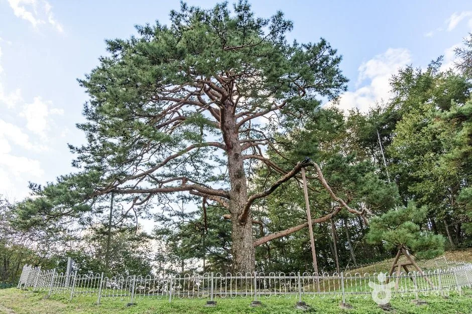
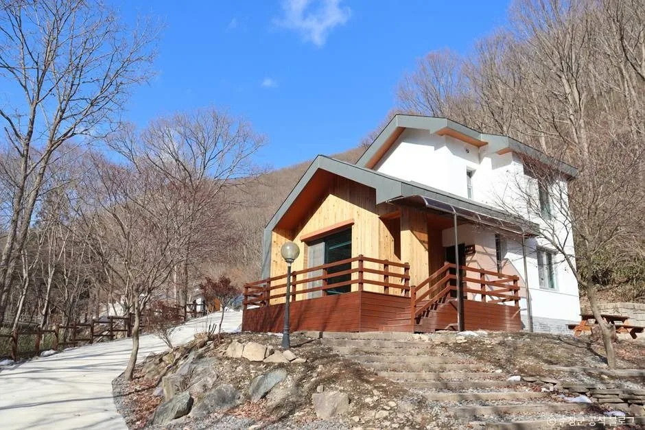 Photo: Korea Tourism Organization photo gallery (249 Ansim-gil, Gurim-myeon, Sunchang-gun, Jeonbuk State) · KOGL
Every region this route passes through is known for its own distinct local cooking. Rather than pointing you to specific restaurants, here’s a rough sense of what to expect where.
| Section | Commonly known for |
|---|---|
| Damyang | Tteokgalbi (grilled short rib patties), daetongbap (rice steamed in bamboo), bamboo shoot dishes |
| Sunchang | Gochujang-based set menus and pickled jangajji |
| Imsil | Imsil cheese (often in pizza and snack form) |
| Gokseong | Seomjin River freshwater crab and marsh snail dishes, sweetfish |
| Gurye | Cornelian cherry products, freshwater clam and marsh snail soups |
| Hadong & Gwangyang | Jaecheopguk (clam soup), green tea, plum products, Gwangyang-style bulgogi |
For resupply, the upstream section (Damyang to Sunchang to Imsil) is the weakest link. Villages are spread far apart and convenience stores are scarce, so if you don’t top up on water and snacks in advance, you can end up riding 20–30 km with nowhere to stop. Once you reach the town centers of Gokseong and Gurye, and the Hadong–Gwangyang area, convenience stores and restaurants come thick and fast. Keep in mind that rural restaurants often close early once the lunch rush is over, so plan to eat earlier than you normally would.
Supplies & Facilities
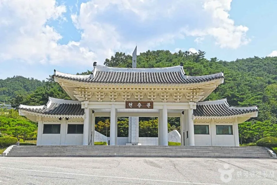 Photo: Korea Tourism Organization tourism photo gallery (420 Hoguk-ro, Gangjin-myeon, Imsil-gun, Jeonbuk State) · KOGL
Here’s how the facilities break down according to the bike path database maintained by Korea’s Ministry of the Interior and Safety.
| Facility | Count | How to use it |
|---|---|---|
| Certification centers | 8 | Stamp stops, and handy checkpoints for pacing yourself |
| Restrooms | 51 | Spread fairly evenly along the whole route |
| Water stations | 8 | Refill points — may be shut off in winter due to freezing |
| Air pumps | 3 | Too few to count on, so bring your own pump |
This route counts toward the Cross-Country Certification program. Carry a certification passport (the bicycle travel passport), collect a stamp at each certification center, and you’ll get credit for completing the section. The unmanned centers are little booths that look like red telephone boxes, with the stamp hanging inside. Ink dries out and paper smudges when it’s wet, so I’d recommend keeping your passport in a ziplock bag. It’s also common practice to photograph the booth with your bike in the shot, just in case you miss a stamp.
The Ride Home
At 154km one way, this is a long haul, so figuring out how you’re getting back before you leave is pretty much non-negotiable. Here’s how to get from the finish line (Baealdo Waterfront Park in Gwangyang) back to the Damyang area.
① By train (the most realistic option) Near the finish, Suncheon Station is your main transfer hub. Along the route you’ve got Gokseong Station and Guryegu Station, and toward the south coast, Hadong Station and Gwangyang Station are relatively close. Regular trains (Mugunghwa and ITX types) sometimes have bike racks depending on the train and its configuration, but it’s never guaranteed — check ahead. KTX generally won’t take a fully assembled bike; the usual rule is a folding bike, folded and packed in a proper bag that meets the luggage limits. In other words, a minivelo or Brompton-type bike is a massive advantage on the way home.
② By bus You can catch an intercity or express bus from a major terminal like Suncheon Intercity Bus Terminal. The catch: bikes are supposed to be disassembled and packed before going in the cargo hold, and whether they’ll actually let you load it often comes down to the driver’s call. Bringing a proper large transport bag (wheel bags included) improves your odds. There are local and rural bus stops scattered through the eup and myeon townships along the route, but service is infrequent — safer to treat those as an emergency bail-out rather than a plan.
③ Ride back (308km round trip) Retrace the same route upstream. That’s 308km round trip, so you’ll need at least two nights and three days. The gradient tilts gently uphill the further upstream you go, and heading downstream-to-upstream you’re likely to catch a headwind. If you’re not confident in your fitness, I wouldn’t recommend it.
④ The car problem If you drove to the start, work out the combination in advance — train or bus from the finish to somewhere near the start, then pick up the car — right down to the timetables. Last departures in rural areas tend to be early, so it’s safest to set your target arrival time at the finish two hours before the last one leaves.
Safety Notes
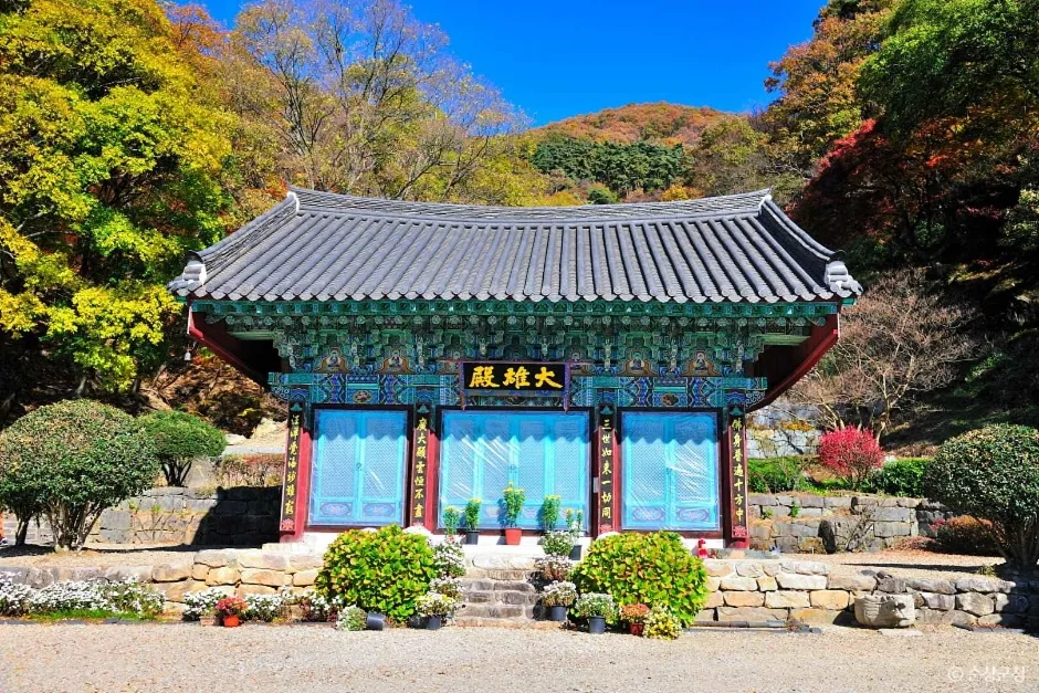 Photo: Korea Tourism Organization photo gallery (103-134 Ansim-gil, Gurim-myeon, Sunchang-gun, Jeonbuk State) · KOGL
- Shared-road sections: The riverside bike path cuts out here and there, and you’ll find yourself sharing the road with cars. Large farm machinery and trucks use these stretches, so keep your rear light on at all times.
- Pedestrians and anglers: Certification centers and riverside recreation areas draw plenty of walkers and fishermen. Give them a heads-up with your bell or just a shout.
- Ice and fallen leaves: Shaded riverside stretches and bridge approaches hold onto winter frost and ice long after everywhere else has thawed. In autumn, wet leaves will slide you right out of a corner.
- Night riding: Much of this route has no street lighting. Riding after sunset without a headlight (300+ lumens up front is what I’d recommend) and a tail light is genuinely dangerous.
- Water and dehydration: There are only 8 water stations, so plan on two bottles or at least 1.5L. In summer, work electrolytes into the plan too.
- Wildlife and snakes: On farm roads and shaded forest stretches, snakes and cats can dart across the path without warning.
Season, Weather, and Gear
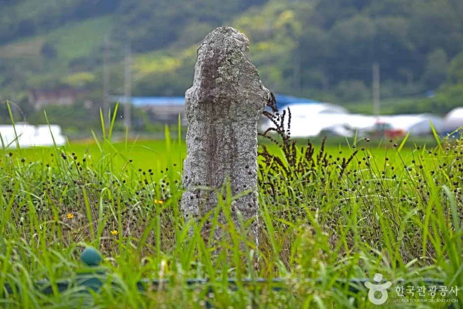 Photo: Korea Tourism Organization photo gallery (1019 Sagok-ri, Deokchi-myeon, Imsil-gun, Jeonbuk State) · KOGL
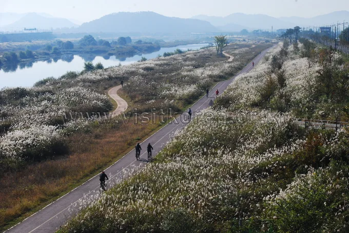
The best months are April–May and October–November. In spring, the plum and cherry blossoms downstream are at their peak; in autumn, it’s the river mist and the silver grass that stick with you.
- Summer: The hardest window, with heat waves and monsoon rains overlapping. The open stretches downstream have almost no shade, so the felt temperature climbs fast. Higher water levels can also force detours.
- Winter: Ice is one problem, and the northwesterly wind funneling along the river is the other. Water stations may be shut down from frozen pipes, so stock up on water beforehand.
- Wind: Riverside routes get strong crosswinds and headwinds, as they do. The wind is usually calmer early in the morning, so an earlier start works in your favor.
Essential Gear Checklist
| Category | Items |
|---|---|
| Safety | Helmet, front light, rear light (with spare batteries) |
| Repairs | 2 spare tubes, patch kit, tire levers, portable pump, multi-tool |
| Hydration & fuel | 2 water bottles, electrolyte powder, energy bars, yanggaeng (sweet bean jelly) |
| Clothing | Windbreaker, cooling sleeves for summer, windproof gloves and neck warmer for winter |
| Certification | Certification passport, zip-top bag, power bank |
Tips for International Travellers
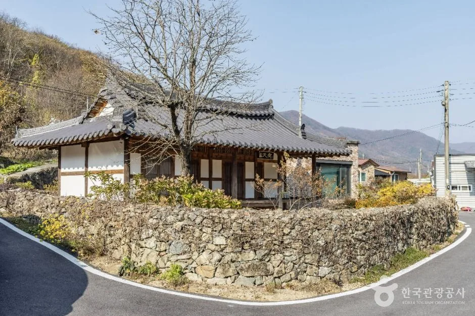 Photo: Korea Tourism Organization photo gallery (16 Jangam 2-gil, Deokchi-myeon, Imsil-gun, Jeonbuk State) · KOGL
① Romanised route names
- Seomjingang Bike Path (Seomjin River Bicycle Route)
- Main certification centres: Seomjingang Dam, Janggunmok, Hyangga (Hyangga Riverside Park), Hoengtanjeong, Saseongam, Namdo Bridge, Maehwa Village, Bealdo Waterside Park
- Place names: Damyang, Sunchang, Imsil, Gokseong, Gurye, Hadong, Gwangyang
② A practical guide to the certification system This route is part of Korea’s nationwide cross-country cycling certification programme.
- Bike Passport: Your safest bet is buying one in person at a staffed certification centre. The official website is essentially Korean-only, and pre-purchasing often falls apart over foreign-issued cards or Korea’s identity verification requirements (local mobile number, ID). Bring a small amount of cash in won.
- Unstaffed certification centres: Look for a small booth shaped like a red telephone box. Open the door and you’ll find the stamp hanging inside on a string. Open your passport to the page for that route and press down firmly, once. The ink dries out sometimes — rather than hammering away at it repeatedly, try changing the angle of the press.
- Completion rewards: Finish a section and you’ll generally get a certification sticker; meet the full requirements and there’s a system for receiving a completion certificate and a medal. Ask about the exact procedure at whichever staffed centre you visit.
- Photograph your stamp pages as a backup. If you lose the passport, there’s no easy way to reconstruct it.
③ If you’re arriving without a bike
- If you’re starting your trip in Seoul, the Ttareungyi public bike share is worth knowing about. The English app works and it generally accepts foreign cards, but it’s Seoul-only and not suited to long distances or taking outside the city.
- For the Seomjin River route itself, the usual approach is to use rental shops in tourist hubs like Gokseong, Gurye or Hadong. The catch is that returns are often restricted to the pickup location, which may not work for a one-way through-ride. If completing the whole route is the goal, look into long-term rentals from bike shops in the Seoul or Busan areas, or bring a folding bike.
- If you’re bringing a touring bike into the country, pack a transport bag too, for getting back from the finish point.
④ Map apps
- Google Maps’ cycling directions in Korea are inaccurate, or simply unavailable. Don’t rely on it to navigate the route.
- Use the cycling mode in KakaoMap or Naver Map. Both have English interfaces, and both show dedicated bike paths and certification centre locations reasonably accurately.
- Searches work better with Korean place names than with romanisation. It’s handy to screenshot the romanised/Korean list above and copy-paste from it.
- Signal drops out in places along the mountain and riverside sections, so save offline maps or a GPX file in advance.
- Accommodation is clustered in the town centres of Gokseong, Gurye and Hadong. It sells out early in peak season and during the plum and cherry blossom seasons, so booking ahead is strongly recommended.
Other bike paths nearby
- Yeongsan River Bike Path: route, distance, and all 7 certification centers — roughly 68 km as the crow flies
- Nakdong River Bike Path: route, distance, and certification centers — roughly 117 km as the crow flies
📍 The Seomjingang Bike Path: 154km and 8 Certification CentersLocation
Contact: bumseok.view [at] gmail [dot] com
Comments