New Jae Bike Path: Route, Distance & 7 Certification Centers
Cycling · Published 7/26/2026 ·
자전거길 트랙·시설 (공공데이터: 행정안전부 국토종주 자전거길 DB) · 🏆인증센터 💧급수대 🚻화장실 🔧공기주입기 · 지도 © OpenStreetMap ⤓ GPX 다운로드
At a Glance
| Metric | Rating |
|---|---|
| Course difficulty | ★★★★☆ |
| Amenities (certification centers, water stations) | ★★★★☆ |
| Certification centers (7 total) | ★★★★☆ |
| Seasonal difficulty — Spring | ★★★★★ |
| Seasonal difficulty — Summer | ★★☆☆☆ |
| Seasonal difficulty — Fall | ★★★★★ |
| Seasonal difficulty — Winter | ★★☆☆☆ |
※ Source: Ministry of the Interior and Safety’s National Bike Path Database · Seasonal ratings are for reference only
Overview
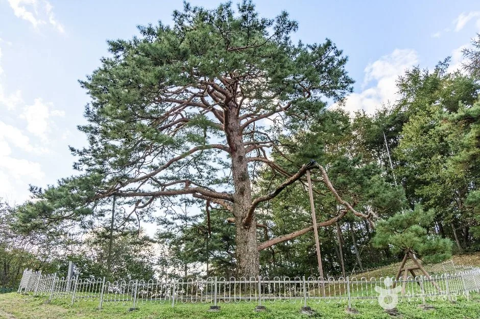
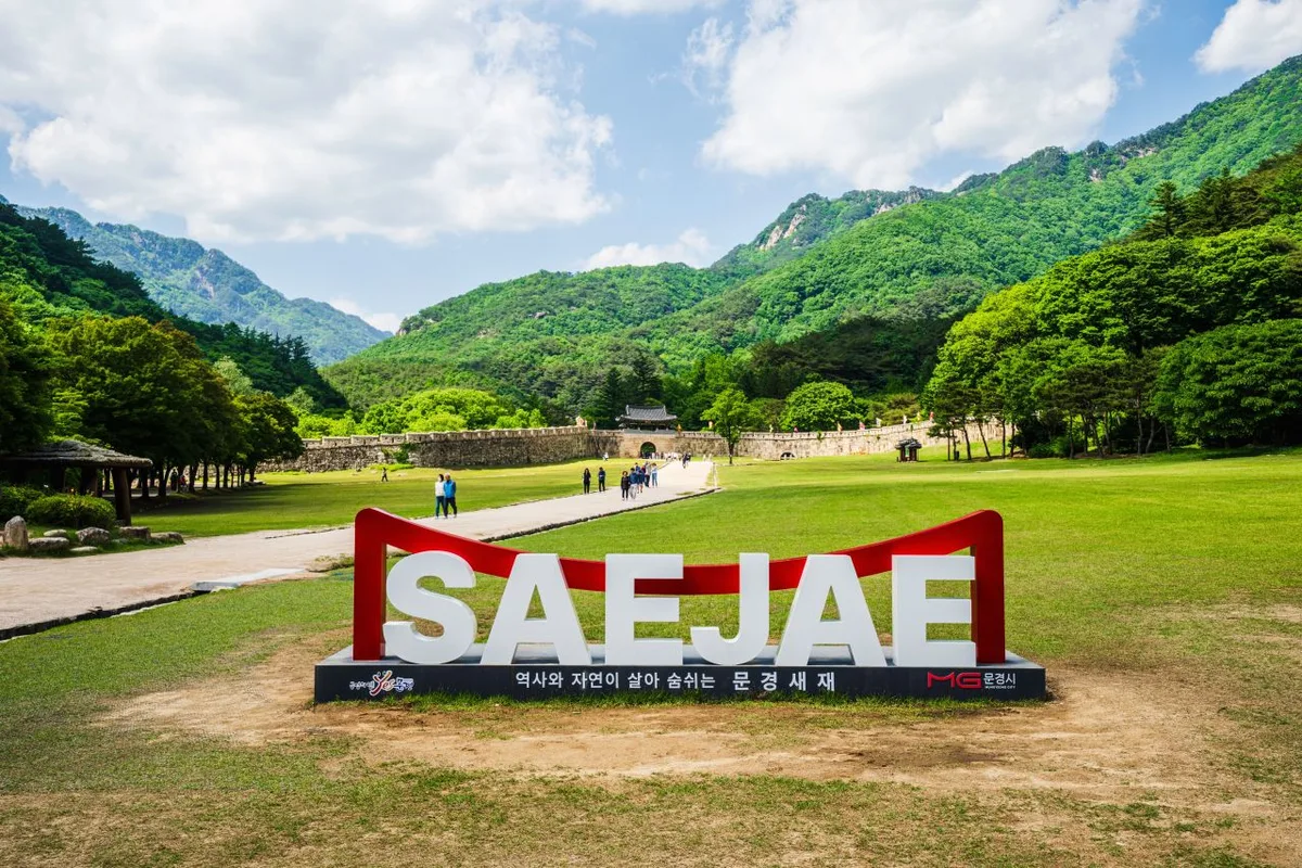 Photo: Korea Tourism Organization Tourist Photo Gallery (Mungyeong-eup, Mungyeong-si, Gyeongsangbuk-do) · KOGL
The Saejae Bike Path starts in Chungju, North Chungcheong Province, and cuts across the interior all the way to Sangju in North Gyeongsang Province — one of the officially certified routes on Korea’s cross-country cycling network. It’s named after Mungyeong Saejae, the old mountain pass that once linked Yeongnam to Hanyang (present-day Seoul) during the Joseon dynasty, and since it connects the Namhan River path and the Nakdong River path, it’s often considered the symbolic “spine” of the entire cross-country route.
What makes this route stand out is that it packs both flat riverside riding and a serious mountain pass into a single course. The first and last stretches are gentle, dedicated bike paths that trace the rivers, but somewhere in the middle you have to climb Ihwaryeong, the highest pass on the whole cross-country network. Getting to feel both a calm river breeze and a lung-burning climb in the same day is exactly what makes finishing this route so satisfying.
Here are a few concrete ways to tackle it:
- One-day full-route challenge: If you’ve got the legs for it, start early in Chungju, tackle Ihwaryeong, and push all the way to Sangju in a single day. This is the popular choice for riders trying to fill up their cross-country certification stamps in one go.
- Relaxed two-day version: Split the ride around Ihwaryeong — ride from Chungju to Suanbo (stay overnight at the hot springs) on day one, then cover Ihwaryeong, Mungyeong Saejae, and Sangju on day two. This leaves room to enjoy the hot springs and sightsee around Mungyeong Saejae.
- Short day rides for beginners or families: If the climb sounds intimidating, just ride the flatter riverside sections back and forth, like the stretch between Tangeumdae in Chungju and Suanbo. Skipping Ihwaryeong drops the difficulty considerably.
- Folding bike (mini-velo/Brompton) + train combo: Load a folding bike onto the train to either Chungju or Sangju, ride the route in one direction, then take the train back from the other end.
Course Info
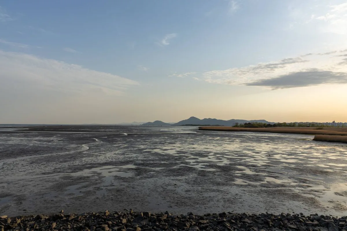
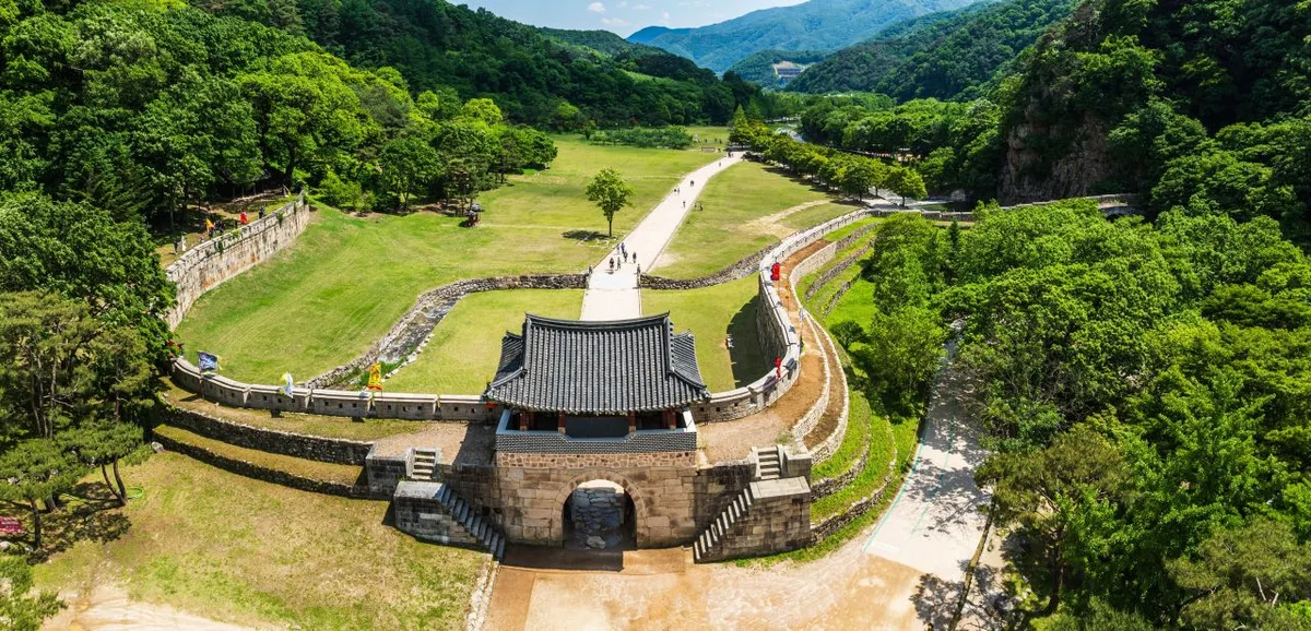 Photo: Korea Tourism Organization photo gallery (Mungyeong-eup, Mungyeong-si, Gyeongsangbuk-do) · Korea Open Government License
The starting point is the Tangeumdae certification center in Chungju, right where the South Han River bike path ends and the Saejae bike path picks up. The finish line is the Sangpung-gyo certification center in Sangju, which then connects into the Nakdong River bike path. Most riders go Chungju (north) to Sangju (south).
The first half sticks mostly to a riverside bike-only path along the Dalcheon and other streams — well-paved and gently graded, an easy warm-up. After the Suanbo certification center, the climbing starts in earnest, building toward the route’s centerpiece: Ihwaryeong Rest Area certification center, sitting atop Ihwaryeong Pass. Ihwaryeong is a long, winding climb, and it’s really what determines how tough this route feels overall. Once you crest the top, a satisfying descent carries you down toward Mungyeong.
The second half skirts the edge of Mungyeongsaejae, passes the Mungyeong Buljeong Station certification center, and eases back down along another stream. Old rail lines repurposed into path, a quaint little station, farmland scenery — it’s a genuinely pretty stretch. There are seven certification centers on this route in total, and you’ll pass through the main ones in sequence: Tangeumdae at the start, then Suanbo, Ihwaryeong Rest Area, Mungyeong Buljeong Station, and finally Sangpung-gyo at the end. The certification centers double as waypoints, so it’s worth pacing yourself by checking the map for the distance to the next one.
Local Eats Along the Way
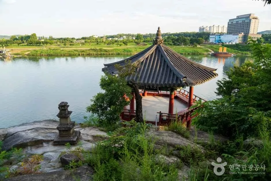
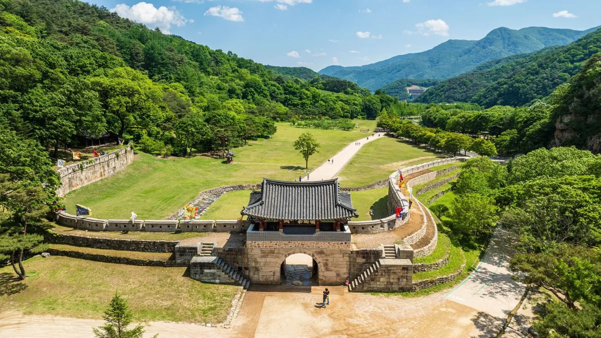 Photo: Korea Tourism Organization Photo Gallery (Mungyeong-eup, Mungyeong-si, Gyeongsangbuk-do) · KOGL
Since this route cuts straight through the inland region, each area along the way has its own local specialties. Rather than recommending specific restaurants, I’ll just point out the foods each area is generally known for.
- Chungju (near the start): The local dish most people know is a hangover soup made with freshwater snails (dasulgi, also called olgaengi). The area’s also famous for apples.
- Suanbo area: Known mainly for pheasant dishes and its hot springs — a good spot to soak in a bath and get a solid meal in if you’re doing the ride as a one-night trip.
- Mungyeong area: Known for pork grilled after being raised on “medicinal stone” feed (yakdol-dwaeji-gui), omija (schisandra berries), apples, and Mungyeong Saejae mountain-vegetable bibimbap.
- Sangju (near the finish): Widely known as a dried persimmon (gotgam) growing region, and also famous for Korean beef (hanwoo).
One thing to watch out for: there are very few convenience stores or restaurants in the mountainous section around Ihwaryeong. Before heading from Suanbo over to Mungyeong, I’d recommend stocking up well on water and snacks. Along the flat riverside stretches you’ll find the occasional village and convenience store, but it’s safer to plan around the mountain pass section as essentially a no-resupply zone.
Supplies & Amenities
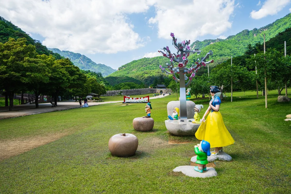 Photo: Korea Tourism Organization Tourism Photo Gallery (Mungyeong-eup, Mungyeong-si, Gyeongsangbuk-do) · KOGL Type 1
This route has 7 certification centers, 29 restrooms, 3 water stations, and 6 air pumps along the way. With 29 restrooms, they’re spaced pretty tightly, so it’s easy to find a spot to rest or do a quick bike check along the riverside stretch. That said, there are only 3 water stations, so don’t count on those alone — get in the habit of topping off your bottles at convenience stores or certification centers beforehand. The 6 air pumps come in handy for keeping your tire pressure in check on a long ride.
Since this is a certified route, it’s worth picking up a Bike Passport (Grand Cross-Country Certification Book) to go with it. You stamp it at each certification center to prove you’ve completed the section. At staffed centers, an attendant stamps it for you; at unstaffed ones, you stamp it yourself using the stamp inside the booth. Collect all 7 stamps and you’ve officially completed the Saejae Bicycle Path.
Getting Back
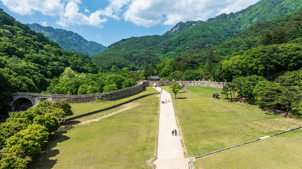 Photo: Korea Tourism Organization photo gallery (Mungyeong-eup, Mungyeong-si, Gyeongsangbuk-do) · KOGL Type 1
Since the Saejae Bike Path is a one-way, 100km route, you’ll want to plan your return trip before you set off. There are basically three ways to do it.
1) Take the train (recommended). The most common option is to catch a train back from Sangju Station near the finish line, or from one of the stations around the Mungyeong/Jeomchon area partway along the route. Korea’s regular trains (like the Mugunghwa-ho) usually allow bikes on board, but restrictions vary by train and car, so double-check when you book. KTX and other high-speed trains, as a rule, only allow folding bikes that are folded and packed according to baggage regulations. Regular (non-folding) bikes may be restricted depending on the train type and seat availability, so check Korail’s rules before you travel.
2) Take a bus. This means heading to an intercity bus terminal near the finish line — in Sangju or Mungyeong — and catching a bus toward Chungju. That said, intercity and express buses often require bikes to be disassembled and packed before they’ll load them in the cargo hold, and it’s ultimately up to the driver’s discretion. If you’re riding a regular (non-folding) bike, this isn’t a reliable option to count on.
3) Ride back (200km round trip). If you’ve got the legs and the time, you could always cross Ihwaryeong again in the opposite direction and ride back to Chungju — but that means 200km total with two mountain passes, so you’ll need to be in solid shape for it.
One more note: near the starting point at Chungju’s Tangeumdae, there are bus stops called Tangeumdae Ipgu and Tangeum Park, which come in handy for getting between downtown Chungju and the trailhead. Worth keeping in mind if you need to store luggage or get into town before you start.
Safety & Things to Watch For
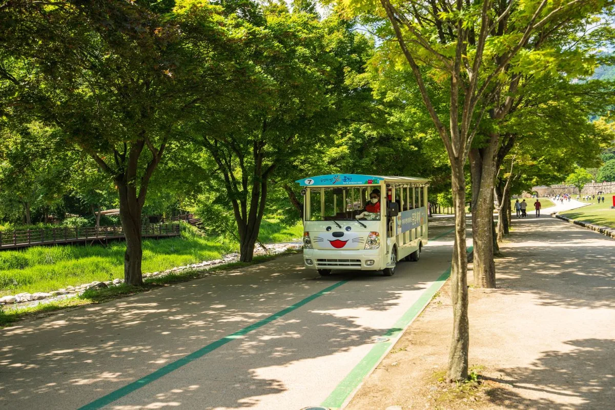 Photo: Korea Tourism Organization photo gallery (Mungyeong-eup, Mungyeong-si, Gyeongsangbuk-do) · KOGL Type 1
- The Ihwaryeong climb and descent: Don’t push too hard on the climb — shift down and keep a steady pace. On the descent, keep your speed firmly in check. Taking corners too fast here is genuinely dangerous.
- Shared paths and pedestrians: Some sections are shared-use paths with pedestrians. Slow down and give pedestrians the right of way near villages and parks.
- Ice: In winter, watch for icy patches on the Ihwaryeong pass and in shaded riverside sections.
- Lights for night riding: Mountain sections can eat up more time than you expect, so bring a front and rear light just in case.
- Water and dehydration: There are only 3 water stations on this route, so the gaps between resupply points are fairly long. Be especially careful about dehydration on the Ihwaryeong section — carry plenty of water.
Season, Weather, and Gear
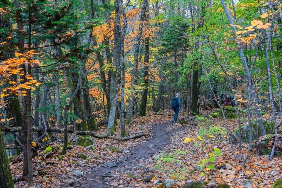
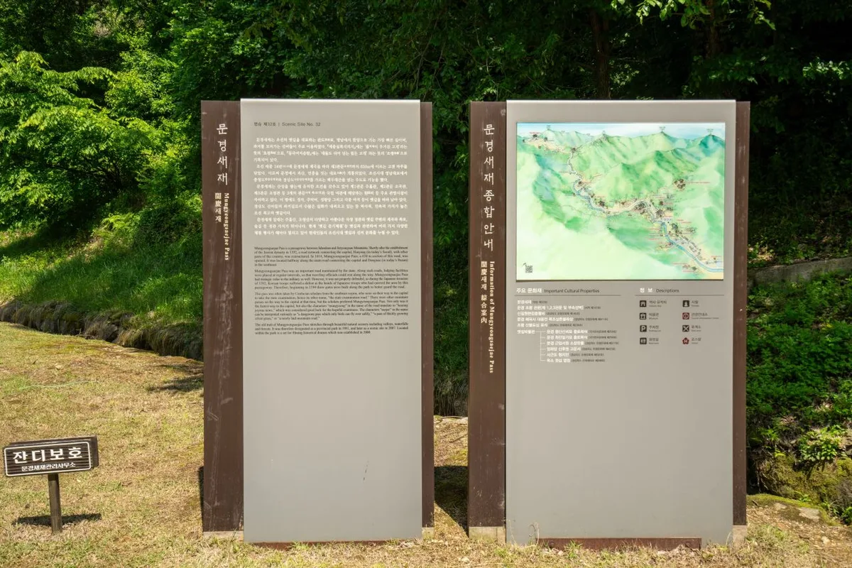 Photo: Korea Tourism Organization Tourist Photo Gallery (Mungyeong-eup, Mungyeong-si, Gyeongsangbuk-do) · KOGL Type 1
Spring and fall are the recommended seasons. In spring you get fresh greenery and cherry blossoms around Mungyeong Saejae, while fall brings foliage along with apple and omija (schisandra berry) harvest scenery — either way, it makes the ride that much more enjoyable.
- Summer: the climb up Ihwaryeong brings real heat and dehydration risk. Start early in the morning and pack plenty of water and electrolytes.
- Winter: watch for cold temperatures, icy patches on the pass sections, and short daylight hours. Cold-weather gear and an early start are essential.
- Headwinds can get strong along the riverside sections, so plan your pacing with wind direction in mind.
Essential gear includes a helmet, front and rear lights, a flat-repair kit (spare tube and pump or CO₂), and plenty of water and snacks. Since the route includes a long mountain climb, padded riding shorts and a spare pair of gloves are also worth bringing. Check your tire pressure and brakes before you head out.
Tips for Foreign Travelers
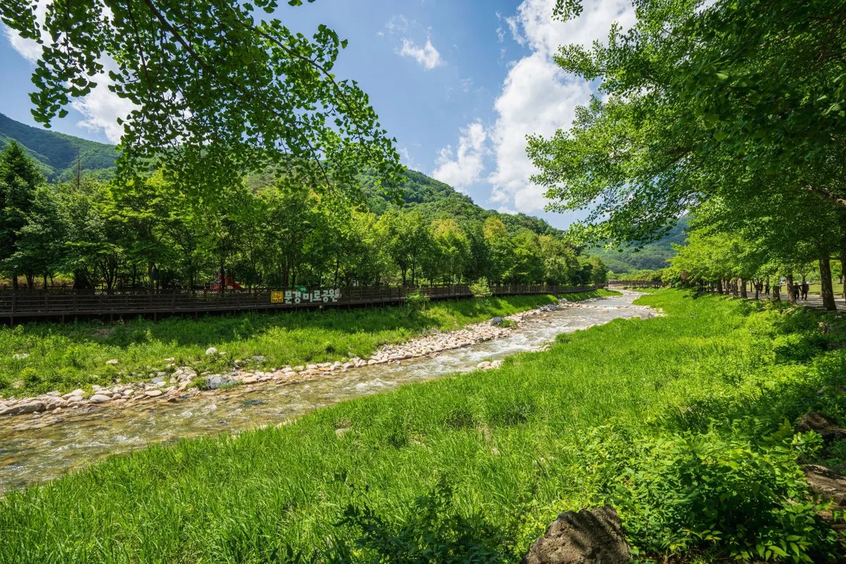 Photo: Korea Tourism Organization photo gallery (Mungyeong-eup, Mungyeong-si, Gyeongsangbuk-do) · KOGL
I’ve put together everything practical here so this one post can cover all your prep.
① Route name (romanized). Saejae Jajeongeo-gil (Saejae Bike Path). Key places along the way: Chungju, Tangeumdae, Suanbo, Ihwaryeong, Mungyeong Saejae, Mungyeong, Sangju, and Sangpung-gyo.
② A practical guide to the certification system (this route is part of it).
- Certification passport (Bike Passport): this is the booklet you use to collect stamps along Korea’s national cross-country bike routes. The official site is Korean-only, and buying one online beforehand is often tricky if you don’t have a Korean ID or a card that works with Korean payment systems — so your safest bet is just buying one in person at a staffed certification center.
- Unmanned certification centers: look for the stamp booths shaped like red phone booths along the road. Stamps and ink are kept inside, so you just open your passport to the right page and stamp it yourself.
- Completion certification: once you’ve collected all the stamps for a section, you get a completion sticker for that section — and if you finish every section of the full cross-country route, you’re generally awarded a completion certificate and medal.
③ If you’re arriving without a bike. Bike rentals are available in major cities and tourist areas, but this route includes a 100km one-way mountain stretch that’s tough to complete end-to-end on a rental. If you’re starting your prep in Seoul, you can make use of the public bike-share system Ttareungi — it has an English app and takes foreign cards, which makes it handy for getting your bearings or getting around the city early on. That said, Ttareungi only works within Seoul, so it’s not an option for the actual Saejae Bike Path ride itself. For the real cross-country trip, I’d recommend renting or bringing a proper road or touring bike.
④ Map apps. Google Maps’ cycling directions are often unreliable in Korea. Use the cycling mode on KakaoMap or Naver Map instead — they’re much better at routing you along dedicated bike paths and pointing out certification center locations. It’s worth saving the certification centers and restroom spots on your map ahead of time so you can plan your supply stops.
Other nearby bike paths
- Bukhangang Bike Path — Chuncheon course, 4 certification centers — about 125 km straight-line
- Hangang Jongju Bike Path — 56 km certification center course — about 127 km straight-line
- Ara Bike Path — full guide to course, distance, and certification centers — about 152 km straight-line
📍 New Jae Bike Path: Route, Distance & 7 Certification CentersLocation
Contact: bumseok.view [at] gmail [dot] com
Comments