Deokjeokdo Island Bike Route: Course, Distance & What to Bring
Cycling · Published 8/20/2026 ·
자전거길 트랙·시설 (공공데이터: 행정안전부 국토종주 자전거길 DB) · 🏆인증센터 💧급수대 🚻화장실 🔧공기주입기 · 지도 © OpenStreetMap ⤓ GPX 다운로드
Is riding a bike on Deokjeokdo something a beginner can actually pull off? And since it’s an island you reach by ferry, can you really see it all and get back out in a single day?
Let me cut to the chase: yes on both counts. This route is a short one-way affair, so it’s not much of a physical strain, and even riding it out and back fits comfortably into a day trip. But the fact that it’s an island changes the whole character of the ride. This isn’t like a riverside path on the mainland where a convenience store or water fountain pops up every few kilometers — it’s a self-supported course, meaning you need to pack your own water, snacks, and a puncture kit before you set off.
The course itself sits at about ★★☆☆☆ difficulty. The distance is short, so if you comfortably ride 30–50km on a regular basis, you’ll have plenty left in the tank, and even someone who’s only been on a bike for a few days can finish it with some rest stops along the way. The supply and convenience situation, on the other hand, deserves a coldly honest ★☆☆☆☆. There are zero certification centers and no water stations, so planning your water resupply is entirely on you. And since the certification center count really is zero, you may come away disappointed if you were looking forward to collecting stamps.
The difficulty swings quite a bit by season (more stars means harder). Spring is the easiest at ★★☆☆☆. Summer climbs all the way to ★★★★☆ — even with the sea breeze, the humidity and direct sun take their toll. Fall is ★★☆☆☆, about as pleasant as spring, while winter is safer to call ★★★☆☆ — the issue isn’t so much snow as the ocean wind and ice on shaded stretches. Source: Ministry of the Interior and Safety of Korea, National Cross-Country Bike Path DB · Seasonal ratings are for reference only
Overview
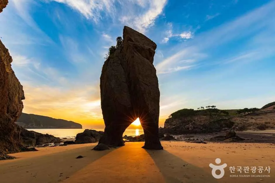 Photo: Korea Tourism Organization Photo Gallery (Deokjeok-myeon, Ongjin-gun, Incheon) · KOGL (Korea Open Government License)
The Ongjin Deokjeokdo Bike Route (Ongjin Deokjeokdo Jajeongeo-gil, Deokjeokdo Island Bike Route) is a loop-and-out-and-back style course that runs around Deokjeok-do, an island in Ongjin-gun, Incheon. If the mainland’s Four Rivers cross-country paths feel like long, straight riverside expressways, this one is more of an “island walking trail” on wheels — short ups and downs alternating with sea views. It suits a rhythm of stopping to take in the ocean and then pedaling on, rather than riding for speed.
There are roughly four ways to make use of it.
- Day ride linked to the ferry: Take the morning boat in, do a lap of the island, and catch the afternoon boat out. The distance is short, so timing it around the ferry schedule is easy.
- Overnight island trip + riding: Arrive in the afternoon on day one, do an easy spin along the beach area, then complete the main course the next morning. You get to enjoy the beach at night and the sunrise as a bonus.
- Brompton or mini velo + public transit (ferry): Folding bikes are easy to board and stow, which makes them a great match for this course. Perfect if your style is packing light and traveling easy.
- Family and beginner-friendly section: Since island roads carry fairly little car traffic, beginners and kids can give it a try as long as you’re willing to walk the bikes over the hilly bits. An e-bike takes most of the sting out of the climbs.
Course Info
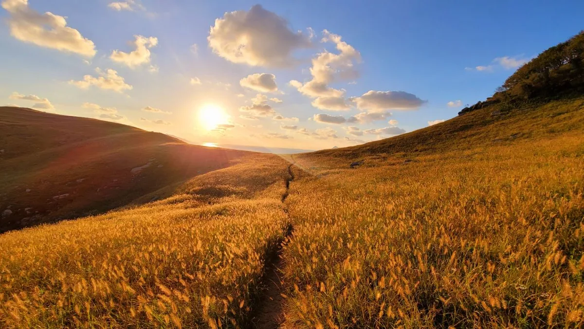 Photo: Korea Tourism Organization photo gallery (Deokjeok-myeon, Ongjin-gun, Incheon) · KOGL (Korea Open Government License)
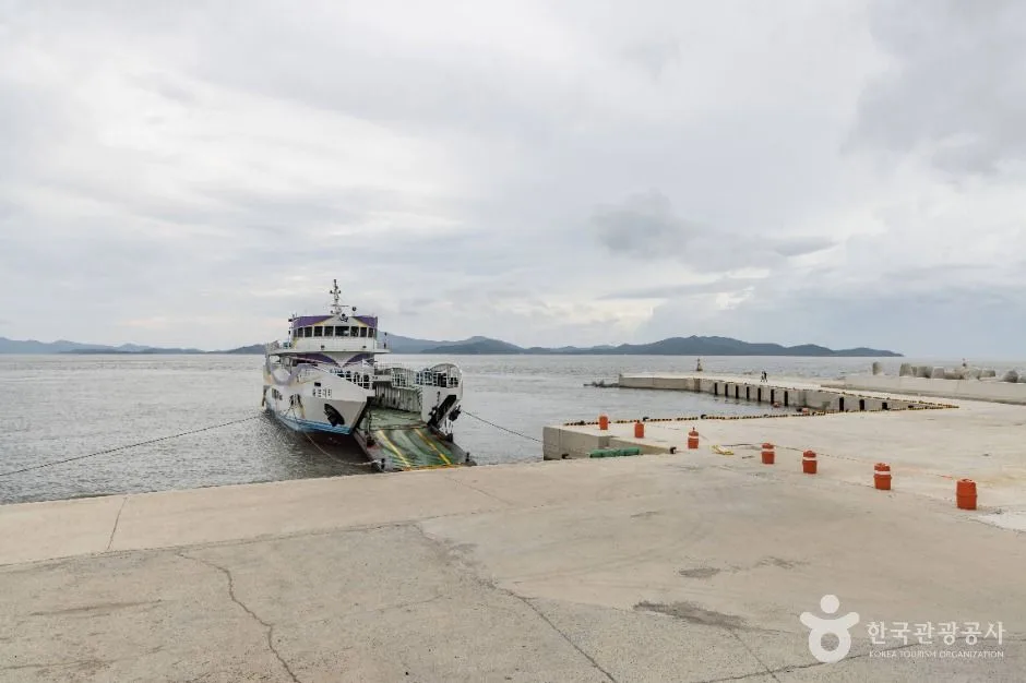
The most natural place to start and finish is around Jin-ri Wharf, where the passenger ferry docks. You can hop on your bike the moment you step off the boat, and when you’re done, you just loop back to the same spot.
The main waypoints string together the island’s signature spots. Head out from the wharf, pass through the village roads toward Seopo-ri Beach, and you’ll come to Deokjeokdo’s famous old black pine grove and a long, gentle stretch of white sand. If this course has an emotional center, this is it. Go the other direction and you’ll find the fishing village around Buk-ri, with its tidal flats and breakwater scenery. The Bijobong ridge rises up in the middle of the island, so on a bike you’ll be skirting around it on the roads below. If you’ve got time to spare, some riders tack on the bridge section connecting to neighboring Soya-do.
Don’t expect the long stretches of dedicated riverside bike paths you’d find on the mainland trails. Most of the route is paved island roads shared with cars, and some of the beach access roads can be a bit rough. In other words, ride with the mindset that this is mostly shared road, not bike path — that’s the safe way to approach it. The upside is that traffic is light, so it actually feels less risky than riding in the city.
The scenery rotates through sea, pine groves, tidal flats, and fishing harbors. When the tide is out and the mudflats stretch wide, there’s a sense of openness you rarely get on the mainland. You’ll be stopping for photos more often than you think, so assume everything takes longer than planned and leave yourself plenty of buffer before the ferry.
Supplies & Facilities
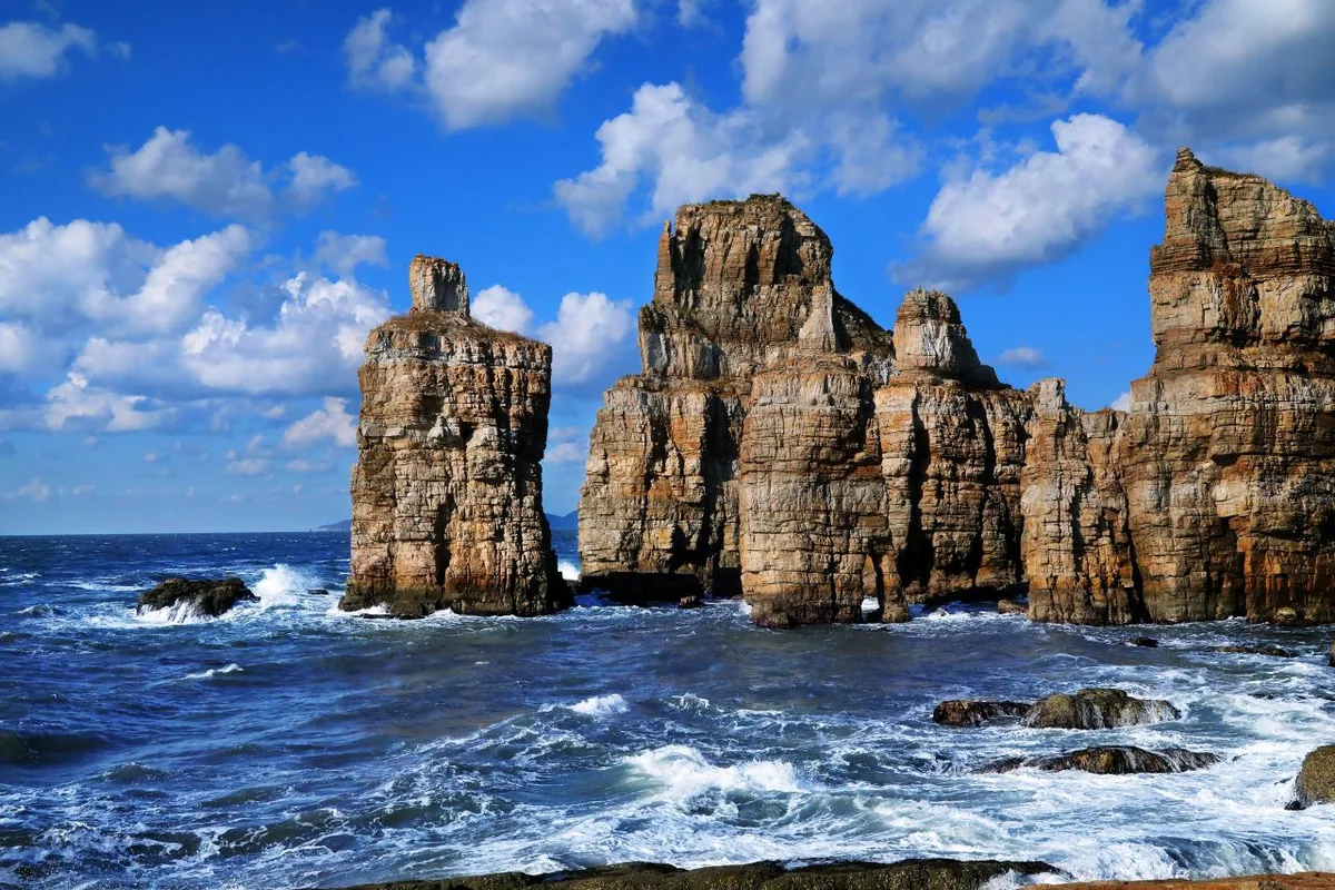 Photo: Korea Tourism Organization photo gallery (Baengnyeong-myeon, Ongjin-gun, Incheon) · Kogl (Korea Open Government License)
Here’s what the Ministry of the Interior and Safety of Korea’s bike path database lists for facilities on this route.
| Item | Count | How to work around it |
|---|---|---|
| Certification centers | 0 | No stamps or certification activities here. Log your ride with a personal app or GPS instead |
| Restrooms | 0 | Scout out the ferry terminal, beach, and village facilities ahead of time and plan accordingly |
| Water fountains | 0 | Stock up on water before boarding the ferry or at a village shop |
| Air pumps | 0 | Bring a portable pump or CO2 cartridges — no exceptions |
In other words, this is a fully self-supported route with zero dedicated amenities along the way. It’s not part of the certification system, so passport books and stamps don’t apply here either. Instead, you can boil your packing list down to this: at least a liter of water, extra snacks, one spare tube, a portable pump, tire levers, a multi-tool, and a power bank. Carry that much and the lack of facilities is essentially a non-issue.
Local Eats
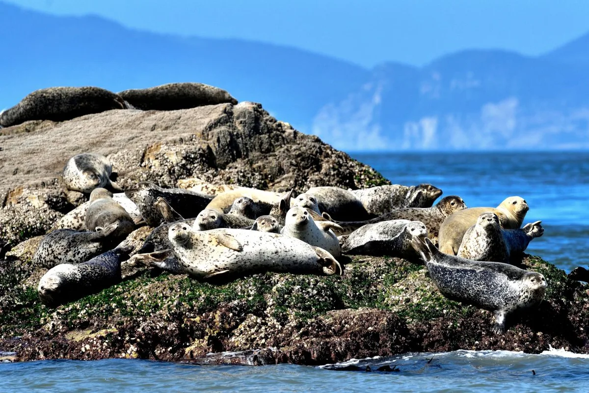 Photo: Korea Tourism Organization photo gallery (Baengnyeong-myeon, Ongjin-gun, Incheon) · Kogl (Korea Open Government License)
The Ongjin islands are generally known for seafood-centric fare. You won’t go far wrong picturing a menu along these lines:
- Clam kalguksu (noodle soup) and other shellfish broth dishes: A combination you’ll commonly find anywhere along the West Sea’s tidal flats. Great for replacing salt and fluids after a ride.
- Seasonal seafood like blue crab and shrimp: What’s available changes with the season, so it’s best to check locally once you arrive.
- Wild-caught sashimi and spicy fish stew (maeuntang): The standard meal you’d expect near a fishing harbor.
- Baendaengi (big-eyed herring) and salted seafood from the greater Incheon area: Widely known as regional specialties worth enjoying on the mainland side, before or after your ferry ride.
That said, I can’t point you to any specific restaurant. On the islands, business days and hours often shift with the season, the tides, and the ferry schedule.
Warning about resupply-free stretches: Don’t expect convenience stores at every corner. Once you leave the villages and beach areas, you can face long stretches with no shops at all. So I’d recommend moving by a three-step rule: ① stock up on water and snacks on the mainland before boarding, ② top up at a village shop right after landing on the island, and ③ from the middle of the course onward, assume no further resupply.
Getting Back
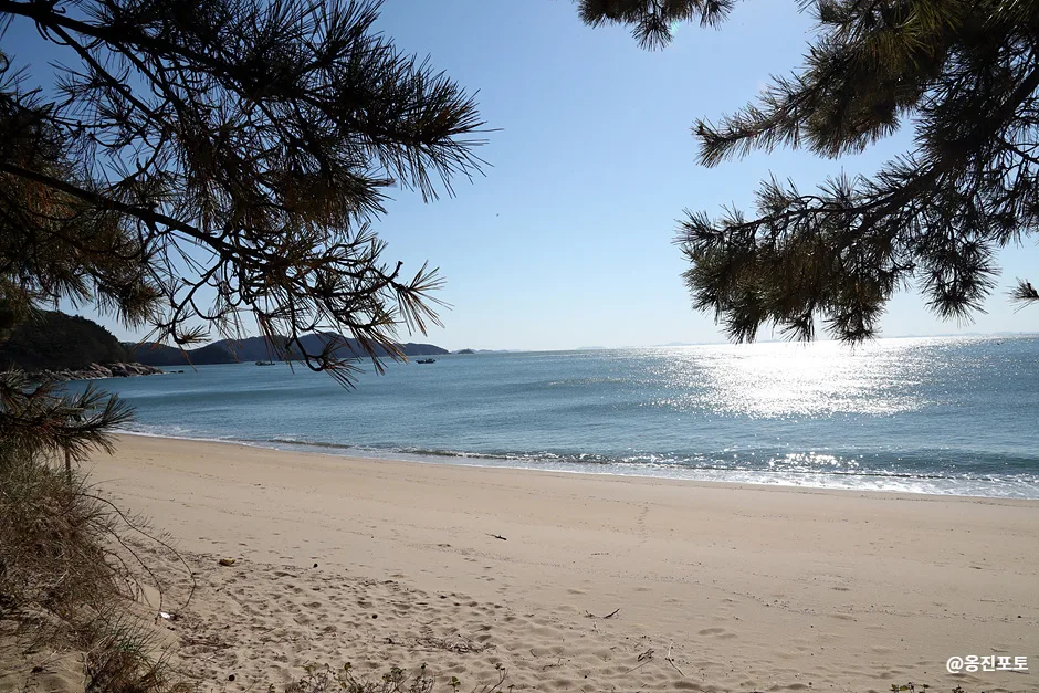 Photo: Korea Tourism Organization Photo Gallery (209-1 Deokjeongnam-ro, Deokjeok-myeon, Ongjin-gun, Incheon) · Kogl (Korea Open Government License)
It’s a one-way route, but the return trip is no big deal. Since the outbound leg is 25.6 km, simply retracing your path only adds up to 51.2 km round trip — comfortably doable in a single day. It also means you don’t have to puzzle out some long-haul transport arrangement for getting home. In the end, there’s really only one thing to worry about: the ferry schedule. On the way back, the wind flips against you and your pace can feel noticeably slower, so plan to arrive at the dock with at least an hour to spare before the boat departs.
Safety Notes
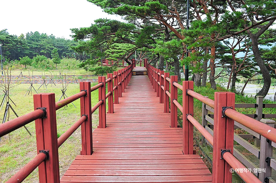 Photo: Korea Tourism Organization Photo Gallery (6 Deokjeoknam-ro 606beon-gil, Deokjeok-myeon, Ongjin-gun, Incheon) · KOGL (Korea Open Government License)
- Shared road sections: Much of the route isn’t a dedicated bike path. Keep to the right, and don’t drift toward the center line on curves.
- Pedestrians and village residents: Slow way down at beach entrances and in village alleys. On stretches where elderly folks are out and about, easing off the pedals beats ringing your bell.
- Ice: In winter, the road below shaded road cuts — and early-morning stretches where sea fog rolls in — can be wet or icy.
- Lights for night riding: Some island roads have few streetlights. Bring a headlight and taillight no matter what, and avoid riding after sunset if you can.
- Water and dehydration: There are no water fountains, so waiting until you feel thirsty to drink is risky. Sip small amounts every 20–30 minutes instead.
- Wind: Crosswinds can pick up suddenly on exposed coastal sections. Keep a light grip on the handlebars and lower your center of gravity.
- Tides: If you head down toward the mudflats or breakwater for photos, check the tide levels first.
Season, Weather, and Gear
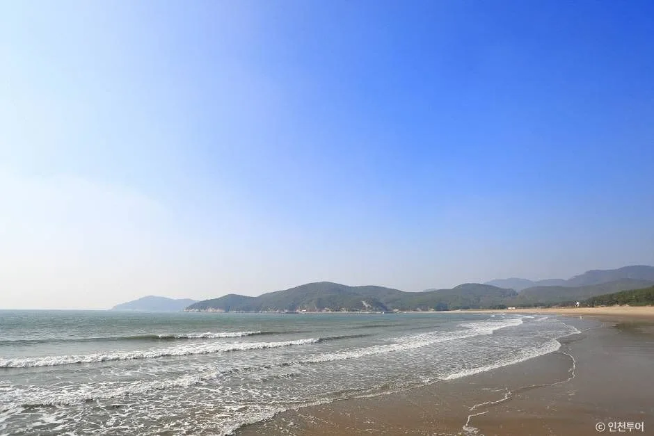 Photo: Korea Tourism Organization Photo Gallery (582 Deokjeongnam-ro, Deokjeok-myeon, Ongjin-gun, Incheon) · Kogl (Korea Open Government License)
The best times to go, hands down, are spring (April–June) and fall (September–October). The temperatures are comfortable and the visibility is great, which is when the sea views really shine. Summer overlaps with beach season, so there’s a lively buzz — but the heat and UV are brutal. Winter is quiet with far fewer people around, though the sea wind drags the wind chill way down.
| Season | Difficulty | Watch out for |
|---|---|---|
| Spring | ★★☆☆☆ | Yellow dust and fine particulates, big day-night temperature swings |
| Summer | ★★★★☆ | Heat, UV, sudden showers, dehydration |
| Fall | ★★☆☆☆ | Earlier sunsets, morning sea fog |
| Winter | ★★★☆☆ | Strong sea winds, ice in shaded sections |
Here’s what I’d consider essential gear.
| Category | Items |
|---|---|
| Safety | Helmet, front and rear lights, gloves |
| Repairs | Spare tube, portable pump, tire levers, multi-tool |
| Fuel | At least 1 liter of water, energy bars/trail snacks, electrolyte supplements |
| Clothing | Cooling arm sleeves and sunscreen for summer, windproof jacket and neck warmer for winter |
| Misc | Power bank, some small cash (many island spots don’t take cards), rain gear |
Tips for International Travelers
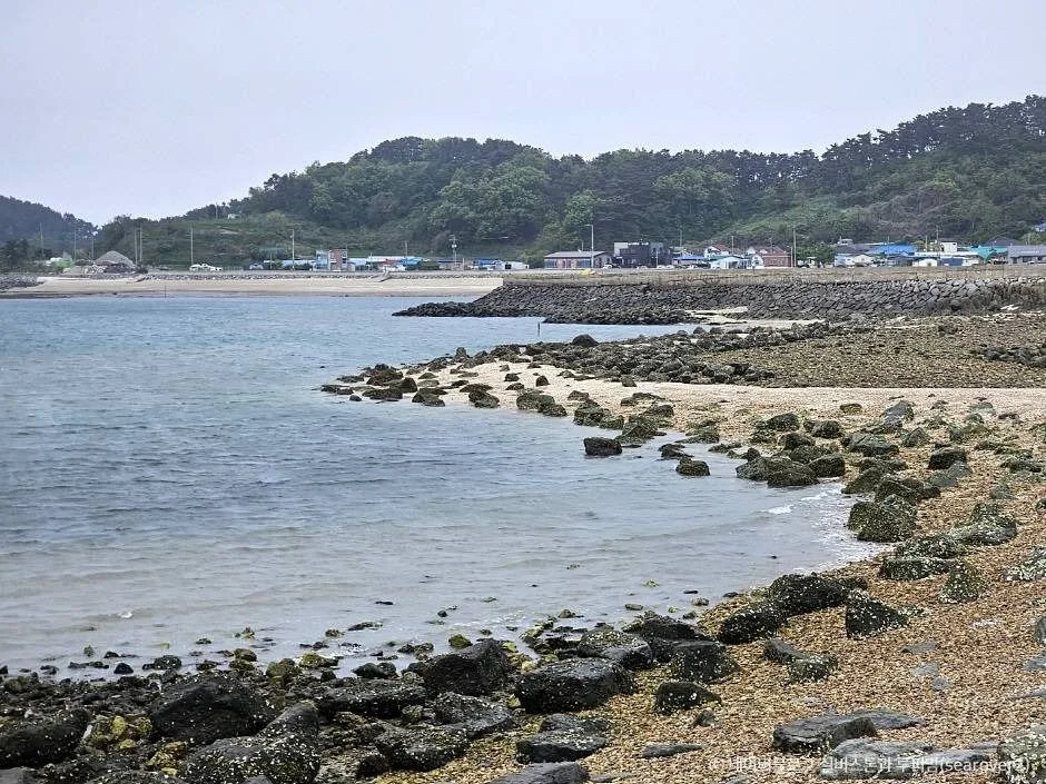 Photo: Korea Tourism Organization photo gallery (Deokjeok-myeon, Ongjin-gun, Incheon) · KOGL (Korea Open Government License)
Route name in English: Ongjin Deokjeokdo Bike Route (Deokjeokdo Island, Ongjin-gun, Incheon). Locally, just saying “Deokjeok-do” will get you understood.
A practical guide to the certification system — this route is NOT part of it. Korea has a national bike path stamp program (the Korea Cross-Country Cycling Certification), but this course isn’t one of the designated routes, and there are zero certification centers here. So no stamps to collect on this ride. Still, in case you’re planning other certified routes on the same trip, here’s how the system works.
- Bike Passport: Your safest bet is buying one in person at a staffed certification center. The official reservation and purchase sites are often Korean-only, and buying online in advance is tricky because they tend to require Korean identity verification (a Korean phone number or ID) or reject foreign-issued cards. I’d recommend just picking one up after you arrive in Korea.
- Unmanned certification booths: These are small roadside booths shaped like red phone boxes. Open the door and you’ll find a stamp and ink pad inside — stamp the matching square in your passport yourself and you’re done. They’re open 24 hours, free, and unstaffed.
- Completion rewards: The general system is that finishing a section earns you a certification sticker, and completing the entire network gets you a completion certificate and a medal.
If you’re coming without a bike: Don’t assume this island has a public bike-share system. Seoul’s public bikes, Ttareungi (Seoul Bike), do support an English app and foreign card payments, but they’re strictly limited to the Seoul area, so they’re no use on this course. Realistically, you have two options: ① rent a bike on the mainland (or bring your own) and take it onto the ferry with you — note that bikes usually require a separate fee and advance confirmation — or ② contact your accommodation or a local tourist information office ahead of time to ask whether rentals are available on the island. A folding bike is by far the easiest to board and store.
Map apps: Google Maps’ bike directions in Korea are unreliable — sometimes no route shows up at all. Install KakaoMap or Naver Map and use their bike modes; both apps support an English interface. Cell coverage gets spotty in places on the island, so download offline maps and GPX files in advance.
Useful phrases
| Korean | Romanized | English |
|---|---|---|
| 자전거 | jajeongeo | bicycle |
| 물 좀 살 수 있나요? | mul jom sal su innayo? | Can I buy water? |
| 화장실 어디예요? | hwajangsil eodiyeyo? | Where is the restroom? |
| 여객선 시간표 | yeogaekseon siganpyo | ferry timetable |
| 자전거도 배에 실을 수 있나요? | jajeongeodo bae-e sireul su innayo? | Can I bring my bike on the ferry? |
One last thing to remember: the most important gear for this course isn’t anything high-end — it’s water and the ferry timetable. Get those two things right, and all that’s left is to pedal along slowly with the sea beside you.
Other Bike Paths Nearby
- Ganghwa “Roofless Museum” Bike Path — the 72.7km Course — about 58km away as the crow flies
- Ara Bike Path: Course, Distance, and Certification Centers — the Complete Rundown — about 64km away as the crow flies
- Hangang Bike Path: the 56km Certification Center Course — about 90km away as the crow flies
📍 Deokjeokdo Island Bike Route: Course, Distance & What to BringLocation
Contact: bumseok.view [at] gmail [dot] com
Comments