Jeju Haemaji Coastal Road Bike Path: Route & Distance
Cycling · Published 8/17/2026 ·
자전거길 트랙·시설 (공공데이터: 행정안전부 국토종주 자전거길 DB) · 🏆인증센터 💧급수대 🚻화장실 🔧공기주입기 · 지도 © OpenStreetMap ⤓ GPX 다운로드
Key Takeaways
 Photo: Korea Tourism Organization Photo Gallery (Seogwipo, Jeju Special Self-Governing Province) · KOGL (Korea Open Government License)
-
This is a one-way coastal route along Jeju’s northeastern shoreline. There isn’t much climbing to speak of, so it’s an easy ask even for beginners and travelers.
-
The scenery-per-mile here is off the charts — emerald water, black basalt tide rocks, and white wind turbines keep trading places the whole way.
-
Fair warning: there are no certification centers, water stations, or air pumps anywhere on this route, so bring your own water and repair kit before you set off.
-
Villages come one after another at short intervals, so convenience stores and cafés are easy to reach, and restrooms are scattered along the route.
-
The one-way distance is short enough that riding it out and back is a perfectly realistic option — you can take it at a leisurely pace and still fit it comfortably into a single day.
-
Course difficulty: ★★☆☆☆ (mostly gentle coastline)
-
Supplies & amenities (certification centers, water stations): ★☆☆☆☆ (bring everything yourself)
-
Number of certification centers: ★☆☆☆☆ (none on this route)
-
Seasonal difficulty — Spring: ★★☆☆☆ (breezy but pleasant)
-
Seasonal difficulty — Summer: ★★★★☆ (harsh sun and humidity)
-
Seasonal difficulty — Fall: ★★☆☆☆ (the easiest time of year)
-
Seasonal difficulty — Winter: ★★★★☆ (the northwest wind hits you head-on)
Source: Cross-Country Bike Path database, Ministry of the Interior and Safety of Korea · Seasonal ratings are a rough guide
Overview
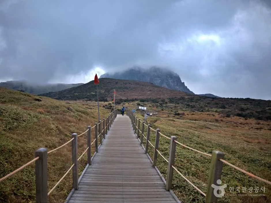 Photo: Korea Tourism Organization Tourism Photo Gallery (Seogwipo, Jeju Special Self-Governing Province) · KOGL (Korea Open Government License)
The Jeju Haemaji Haean-ro — literally the “Sunrise Coastal Road” — lives up to its name: it runs along Jeju’s northeastern shore, where the morning sun touches the island first. Unlike routes that climb over the inland oreum volcanic cones and mid-mountain slopes, this one keeps the sea constantly at your side, left or right. The views stay wide open, so the horizon is with you the whole time you’re pedaling, and the coastline’s character shifts a little with every village you pass. The black basalt tidal rocks unique to this volcanic island, the jade-colored water lying shallow over them, and the wind turbines spinning in the breeze — these are the road’s unmistakable signatures.
The grades are gentle and the route is simple, so there are quite a few ways to make use of it.
First, as a day-trip out-and-back ride. Head out early in the morning, ride to one end, and come back the same way. The light and wind are completely different on the return leg, so it feels like riding two different routes.
Second, as a one-day leg of a full circuit of Jeju. If you’re planning a long-distance trip around the island’s entire coastline, this section slots naturally into a day’s itinerary through the northeast. Beach villages packed with accommodations dot the route, so it also works well broken up into an overnight trip or longer.
Third, combining a Brompton or mini velo with public transit. You can pack a folding bike into a bag, take the bus, assemble it in a coastal village and set off, then fold it back up at the far end for the return trip. It’s a great fit for light travel with minimal luggage.
Fourth, for family rides or beginners. You don’t have to ride the whole thing — it’s easy to carve out a short section linking just two or three villages. With cafés and beaches spaced closely along the way, there’s always somewhere convenient to stop and rest.
Course Information
 Photo: Korea Tourism Organization Tourism Photo Gallery (Seogwipo, Jeju Special Self-Governing Province) · KOGL
The route threads through the villages of Jeju’s northeastern coast like beads on a string. The basic flow starts from the beach around Gimnyeong, passes through Woljeong-ri, Haengwon, Handong, Pyeongdae, Sehwa, and Hado, then heads toward Jongdal. Riding it in reverse is perfectly fine, too — in fact, picking your direction based on which way the wind is blowing goes a long way toward saving your legs.
The surface alternates between roads running along the shore and coastal stretches open to bikes. It’s not like the riverside bike paths, where a dedicated lane fully separated from car traffic runs unbroken from start to finish — through the villages, you’ll be sharing the edge of the road and mixed pedestrian sections. That’s the one thing on this route that really demands your attention.
Each stretch of scenery has its own distinct character.
| Section | Main Impressions |
|---|---|
| Gimnyeong–Woljeong area | Wide white-sand beaches, shallow jade-colored water, a beach village packed with cafés |
| Haengwon–Handong area | The white blades of the wind farm, a wide-open stretch where the wind rules |
| Pyeongdae–Sehwa area | A rural coastal landscape of black stone field walls and carrot fields |
| Toward Hado–Jongdal | Wetlands visited by migratory birds, a calm inner bay, and the ridgeline toward Seongsan in the distance |
This route isn’t part of the national cross-country certification program, so there are no stamp booths along the way. Instead of the fun of collecting stamps, what defines this road is that you can stop wherever you like, for as long as you like, and just watch the sea.
Nearby Food
 Photo: Korea Tourism Organization Photo Gallery (Seogwipo, Jeju Special Self-Governing Province) · KOGL (Korea Open Government License)
The villages along Jeju’s northeastern coast have long been home to active haenyeo (women divers), so the local food culture generally revolves around seafood. Rather than pointing you to specific restaurants, I’ll introduce the dishes this area is widely known for.
- Bomal kalguksu / bomal juk: Noodle soup or rice porridge made with small sea snails gathered from the tidal rocks — a signature dish you can find pretty much anywhere in Jeju’s coastal villages.
- Sea urchin soup (gusal-guk): Known as a seasonal dish, especially popular from spring through early summer.
- Seafood hot pot and abalone dishes: Usually the most familiar options for tourists, and easy to find in the restaurant strips of beachside villages.
- Gogi guksu (pork noodle soup) and black pork: Well-known dishes all across Jeju, and a popular recovery meal after a ride.
- Gujwa carrots: This area is famous as a carrot-growing region, so you generally won’t have much trouble finding places selling carrot juice or carrot cake.
From a resupply standpoint, convenience stores and cafés are fairly dense through the beachside tourist villages. That said, the stretches around the wind farm and through the farmland and wetlands have a no-resupply character, with shops thinning out. It’s safest to get in the habit of topping up water and snacks just before leaving a village. Also, the small restaurants and cafés in these coastal villages often close depending on the day of the week or the season, so it’s best not to build your plan around any single spot.
Supplies and Facilities
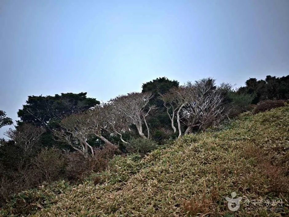 Photo: Korea Tourism Organization Photo Gallery (Seogwipo, Jeju Special Self-Governing Province) · KOGL (Korea Open Government License)
According to the bike route database from the Ministry of the Interior and Safety of Korea, here’s what this route has to offer:
| Facility | Count | How to Use It |
|---|---|---|
| Certification centers | 0 | This route isn’t part of the certification program |
| Restrooms | 7 | Spread out along the route — treat them as your rest stops |
| Water stations | 0 | You’ll need to stock up at convenience stores and cafés |
| Air pumps | 0 | Bring a portable pump — no exceptions |
The key takeaway: there are zero water stations and zero air pumps. Refilling at village convenience stores is realistically your only option for water, so start with two full bottles and top up every time you pass a shop. If you get a flat, you’re on your own — a spare tube, tire levers, and a portable pump aren’t optional extras; they’re essential gear.
The seven restrooms are mostly scattered around beaches and village amenities. If you plan your breaks around these spots, your ride naturally splits into manageable segments, and your water refills line up nicely too.
Since this route isn’t part of the certification program, there’s no passport, no stamps, and no completion certificate to chase. If collecting stamps is your thing, you’ll want to plan a separate certified route alongside this one.
Getting Back
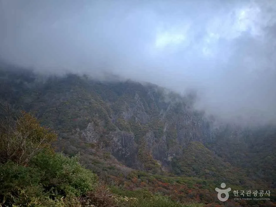 Photo: Korea Tourism Organization photo gallery (Seogwipo, Jeju) · Kogl (Korea Open Government License)
It’s a one-way route, but at 27.7 km it’s not particularly long, so riding back the way you came — 55.4 km round trip — fits comfortably into a single day. There’s no need to arrange separate long-distance transport for the return.
Keep in mind that the wind flips direction on the way back, which changes how hard the ride feels. If you cruised out with a tailwind, brace yourself for a headwind coming home — and if it was the other way around, the return leg will feel much easier. If you can, I’d recommend tackling the headwind section first and riding back with the tailwind. If your legs are running low, you could ride just one way and take public transit back instead, but whether you can bring your bike aboard depends on conditions on the ground — so unless you’re on a folding bike, planning for the round trip is the safer bet.
Safety & Precautions
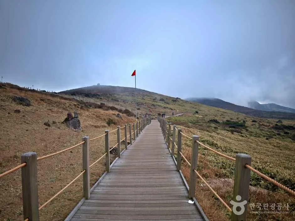 Photo: Korea Tourism Organization Photo Gallery (Seogwipo, Jeju Special Self-Governing Province) · KOGL (Korea Open Government License)
- Shared-road sections: Not all of the route is on separated bike-only paths. On stretches where you’re riding along the edge of the roadway, keep your distance from traffic — and I’d recommend running your rear light even in daylight.
- Mixing with pedestrians: The beachside village sections get dense with foot traffic from tourists. Slow way down through here, and announce yourself early with a bell or your voice.
- Tourist vehicles: Rental cars and tour buses have a habit of suddenly pulling onto the shoulder or swinging their doors open. When passing parked cars, give yourself an extra hand’s width of clearance.
- Strong winds: This area is well known for its wind. On exposed coastline especially, a sudden crosswind can push your line all over the place. Keep a light grip on the bars and lower your upper body to ride it out.
- Sand and spray: On roads right along the beach, you’ll hit patches where windblown sand has piled up or where sea spray has left the surface wet. It’s easy to slip in corners, so brake before you enter, not in them.
- Ice: In winter, shaded sections can stay wet and frozen in the early morning. Wait until the sun is well up before heading out.
- Lighting at night: Some sections have no streetlights. Bring a headlight and rear light no matter what — and honestly, the safest plan is to wrap up your ride before dark.
- Water and dehydration: I’ll say it again: there are no water fountains on this route. In summer, the sea breeze evaporates your sweat so fast that it’s easy to keep riding without realizing you’re dehydrated. Drink before you feel thirsty, and don’t forget electrolytes while you’re at it.
Season, Weather, and Gear
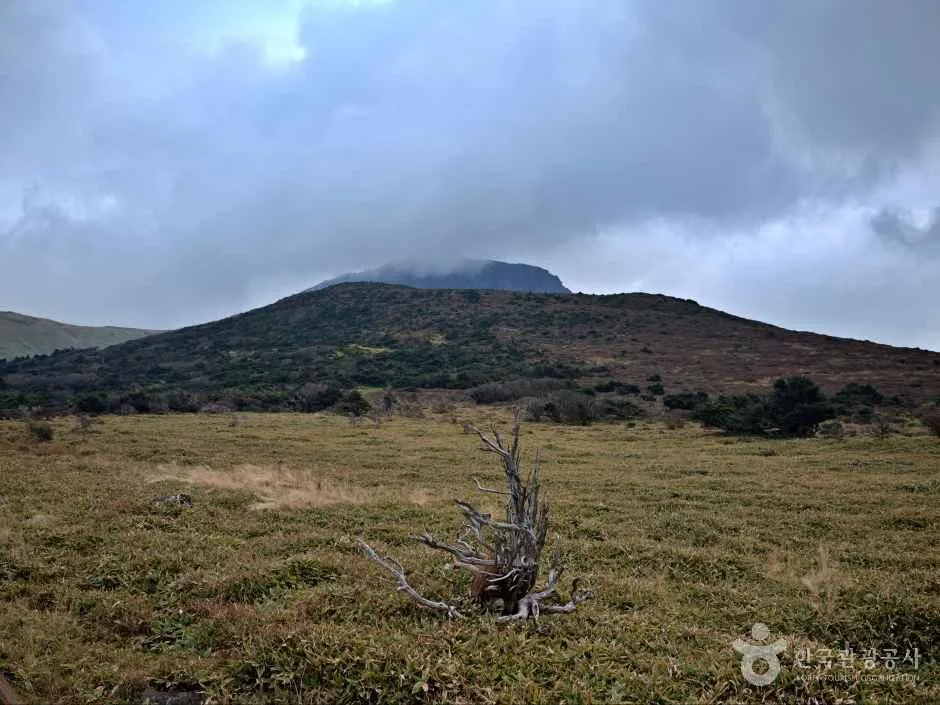 Photo: Korea Tourism Organization Photo Gallery (Seogwipo, Jeju Special Self-Governing Province) · Kogl (Korea Open Government License)
The best seasons to ride are April–June and September–November. Temperatures are mild and humidity is low during these windows, making them the most comfortable time for long-distance riding. Autumn in particular is known for relatively steady winds and clear skies — it’s when the ocean colors really pop.
Summer is a different story: intense sun and high humidity crank up the perceived difficulty considerably. You’re better off avoiding midday and riding in the early morning or late afternoon, and you’ll want to pay extra attention to sun protection and hydration. Typhoons can also affect the island in summer and early fall, so always check the weather forecast before heading out.
Winter temperatures aren’t brutally cold in themselves, but the northwesterly seasonal winds blow hard. Riding straight into a headwind can feel like climbing a hill even on flat ground, so pack a windproof jacket and build some slack into your schedule.
| Category | What to Bring |
|---|---|
| Essential | Helmet, front and rear lights, spare tube + tire levers + portable pump, two water bottles |
| Strongly recommended | Windproof jacket, sunscreen, sunglasses, gloves, electrolyte supplements |
| Situational | Summer — cooling arm sleeves, salt tablets / Winter — neck warmer, winter gloves / Night — reflective clothing |
| Other | Power bank, some small cash (for small local shops), phone mount |
Tips for International Travelers
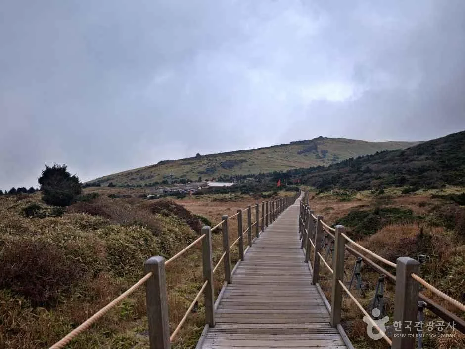 Photo: Korea Tourism Organization Photo Gallery (Seogwipo, Jeju Special Self-Governing Province) · KOGL (Korea Open Government License)
Route Name in Roman Letters
- Route name: Jeju Haemaji Haean-ro (literally, “Jeju Sunrise Coastal Road”)
- Key place names: Gimnyeong · Woljeong-ri · Haengwon · Handong · Pyeongdae · Sehwa · Hado · Jongdal
- When asking for directions locally, showing the Korean spelling on your phone screen works far better than the romanized version.
A Practical Guide to the Certification System
Let me be clear up front: this route is not part of Korea’s cross-country cycling certification program. If you’re only planning to ride this section, there’s no need to bother with a certification passport or stamps. The notes below are for anyone also planning to ride Korea’s other certified routes.
- Bike Passport: You’ll need one to get official credit for completing a certified route. The official website is Korean-only, and buying online in advance is often difficult due to issues with foreign-issued cards and Korea’s identity verification process. Your safest bet is to buy one in person at a staffed certification center.
- Unmanned certification booths: The small red booths shaped like old phone boxes scattered along the courses are the self-service certification points. Each booth has a stamp inside — just stamp the corresponding box in your passport yourself. The ink can be dry or the stamp faint, so press a few times and check the result.
- Completion rewards: Finishing a section typically earns you a certification sticker for that section, and riders who complete the entire network are said to receive a completion certificate and a medal. The details of how and when you receive them can change over time, so confirm on site.
If You’re Coming Without a Bike
- Jeju has private bike rental shops scattered around tourist areas and beach villages. Options range from basic city bikes to road bikes and e-bikes; in peak season, booking ahead is recommended.
- When renting, always check three things: whether a helmet is included, whether puncture repair tools are provided, and where you return the bike (whether one-way drop-off is possible). There are no air pumps along this route, so whether you can rent a pump is especially important.
- Ttareungi is Seoul’s public bike-share system, and it supports an English app and foreign-issued card payments. But it’s a Seoul-only service, so you can’t use it on Jeju — save it for the Seoul leg of your trip.
Map Apps
- Google Maps’ cycling directions in Korea are inaccurate or simply unavailable. This trips up first-time visitors more than anything else.
- Instead, install KakaoMap or Naver Map and use cycling mode. Both apps have English interfaces and give far more accurate guidance on bike paths and routes you can actually ride.
- Cell coverage along the coastal sections is generally solid, but navigation drains your battery fast, so I’d recommend downloading offline maps and carrying a power bank.
- When searching for destinations, copying and pasting the Korean place name gets better results than typing the romanized version.
Other Bike Paths Nearby
- Jeju Fantasy Bike Path: Course, Distance & 9 Certification Centers — about 31km in a straight line
- Wando Arboretum Bike Path: Course, Distance & Getting Back — about 92km in a straight line
- Goheung Geogeumdo–Sorokdo Bike Path: Course & Distance — about 108km in a straight line
📍 Jeju Haemaji Coastal Road Bike Path: Route & DistanceLocation
Contact: bumseok.view [at] gmail [dot] com
Comments