Ganghwa's Museum Without a Roof Bike Route: A 72.7km Ride
Cycling · Published 8/4/2026 ·
자전거길 트랙·시설 (공공데이터: 행정안전부 국토종주 자전거길 DB) · 🏆인증센터 💧급수대 🚻화장실 🔧공기주입기 · 지도 © OpenStreetMap ⤓ GPX 다운로드
At a Glance (Star Ratings)
| Metric | Rating |
|---|---|
| ① Course difficulty | ★★★☆☆ |
| ② Supplies & amenities (certification centers, water stations) | ★☆☆☆☆ |
| ③ Certification centers (0 · not part of the Cross-Country Certification program) | ☆☆☆☆☆ |
| ④ Seasonal difficulty — Spring | ★★☆☆☆ |
| ④ Seasonal difficulty — Summer | ★★★★☆ |
| ④ Seasonal difficulty — Autumn | ★★☆☆☆ |
| ④ Seasonal difficulty — Winter | ★★★★☆ |
※ Source: Ministry of the Interior and Safety of Korea, Cross-Country Bicycle Route database · Seasonal ratings are rough guides
Overview
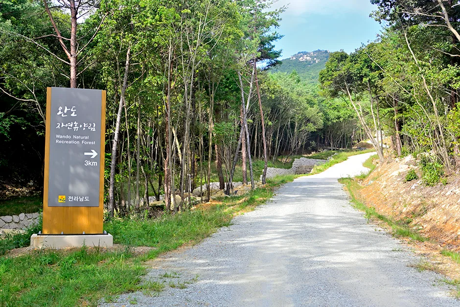
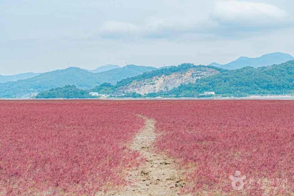 Photo: Korea Tourism Organization photo gallery (Samsan-myeon, Ganghwa-gun, Incheon) · KOGL
The Ganghwa-gun bike route is written out in Roman letters as Ganghwa-gun (Jibung-eomneun Bangmulgwan) Bicycle Road. That nickname — “Museum Without a Roof” — is meant to say that the whole of Ganghwa Island is packed with historical sites like one big open-air exhibition hall. And it really is: Bronze Age dolmen clusters, Goryeo-era fortress walls and temples, and the late-Joseon coastal defense garrisons known as jin and bo are scattered all across the island. You’re essentially pedaling through one era into the next, which makes this less a pure fitness route and more a history lesson you read while moving.
The scenery has a different character from the inland riverside paths, too. Tidal flats meeting the West Sea, wide-open reclaimed farmland, and low mountain slopes take turns. The smell of the sea and the smell of rice paddies swap places every few kilometers, and the same spot looks like a completely different place depending on the tide. If you’re the kind of rider who likes taking photos, you’re going to be stopping a lot.
Here’s how I’d suggest approaching it.
① One-day full run. This is a point-to-point route, so the cleanest approach is an early start, finishing the whole thing to the endpoint while there’s still daylight, then wrapping up with public transit back. Good for riders who want to skip the sightseeing time and focus on the riding itself.
② Two-day, one-night history tour. Split the distance roughly in half and spend the night around Ganghwa town center. Actually going inside the dolmens, fortress walls, temples, and coastal defense sites takes a serious amount of time, so honestly this is the approach that lives up to the route’s nickname best.
③ Folding bike / minivelo plus public transit. No rail line reaches Ganghwa Island, so packing a Brompton-style folder into a bike bag and coming in and out by bus works especially well here. You get to ride one direction only and bail out, without the burden of the return trip.
④ Partial sections for families and beginners. The full route is too much for a beginner, but if you carve out just 20–30 km of the flat coastal section as an out-and-back, the difficulty drops way off. With kids along, it’s safer to pick one or two sites as your target and keep the ride short.
⑤ A weekend escape from Seoul and the metro area. Access from Seoul is relatively easy, which makes this a good pick when you’re used to riding the city’s riverside paths and want to swap the view out for sea and tidal flats.
Course Information
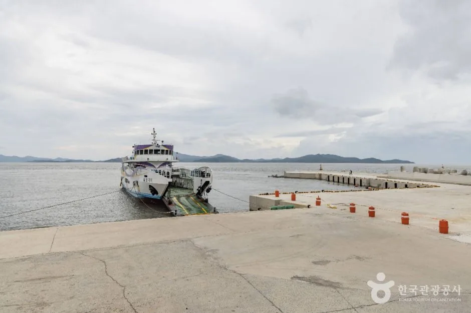
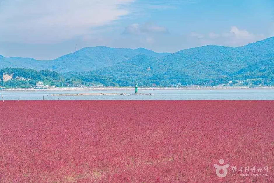 Photo: Korea Tourism Organization photo gallery (Samsan-myeon, Ganghwa-gun, Incheon) · KOGL
The easiest way to picture the route: it starts where you cross the Ganghwa Bridge onto the island and head toward the town center, and it ends where you exit toward the island’s southern and western coastline. The route mostly follows the island’s shoreline and its reclaimed farmland, with branches peeling off partway toward the town center and the historic sites.
Here’s roughly what you pass through. The opening stretch runs through the built-up area around Ganghwa town and the old fortress walls — frequent lights and intersections, and a fair amount of mixing with traffic. The middle section follows the coastal embankments past the old defensive fortifications, with the sea on your right or left for long stretches. This is the scenic heart of the route. The last section cuts through reclaimed flatland between reservoirs and rice paddies — wide open and airy, but almost no shade and nothing to block the wind.
The surface isn’t a dedicated bike path from end to end the way the riverside routes are. You’ll alternate between embankment sections that function as bike-only paths, shared bike-and-pedestrian paths, and stretches where you’re riding the shoulder of an ordinary road. So rather than a route where you can zone out and spin like you would on a riverside path, come prepared to adjust your level of attention section by section.
It’s not purely flat, either. Ganghwado has low mountains inland, so flat coastal stretches mix with gentle ups and downs. Nothing here counts as a serious climb given the character of the route, but the one-way distance is long enough that fatigue accumulates in the back half. I’d recommend a bike with some gearing to spare.
This route is not part of the national cross-country certification program. Meaning there’s no stamp system for certifying section completion along the way, and no certification centers have been installed. If you’re coming specifically to collect certification stamps, check this first and plan accordingly.
Food in the Area
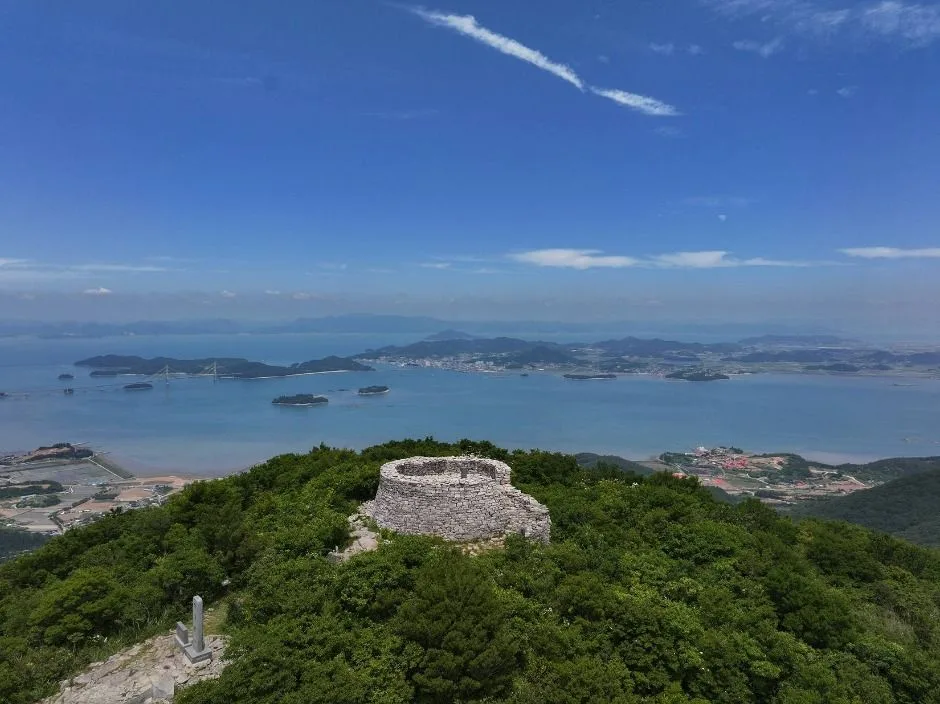
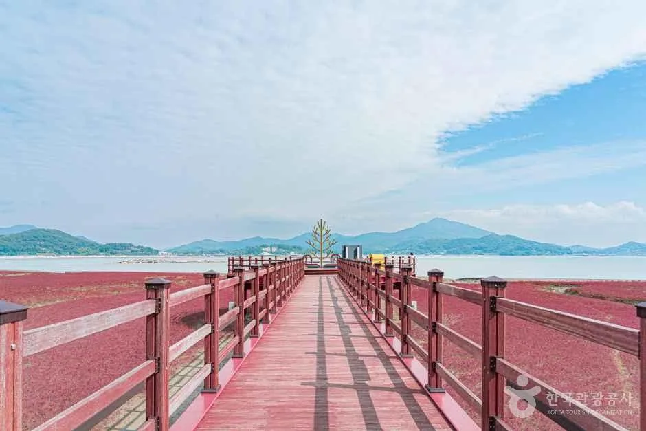 Photo: Korea Tourism Organization photo gallery (Samsan-myeon, Ganghwa-gun, Incheon) · KOGL
The food Ganghwa is known for falls into a few broad camps. Since the area sits right on the West Sea mudflats, the menus you’ll typically see written up as local specialties are things like bandaeng-i (large-eyed herring) dishes, seasonal seafood such as blue crab and shrimp, and jeotguk galbi (pork ribs simmered in salted shrimp broth). Then there’s Ganghwa Island rice from the reclaimed plains, the famously local Ganghwa turnip and its kimchi, and summer’s Ganghwa yellow sweet potatoes plus ginseng products — all of which usually come up alongside the region’s name. In the town center you’ll find a decent spread of regular Korean restaurants, snack bars, and cafés, so finding a meal isn’t hard.
From a resupply standpoint, the convenience stores and restaurants cluster in downtown Ganghwa and around the main tourist sites. Out on the coastal embankment and across the reclaimed plains, though, the gaps between shops can stretch a long way, so I’d top up water and snacks whenever you pass through town or near an attraction. This matters most if you hit the flatlands late in the afternoon, when you may well run into closed shops — “I’ll grab something at the next place” is not a bet worth making out there. Rather than building your plan around one specific restaurant, the practical approach is to check whether somewhere is actually open on a map app.
Supplies & Facilities
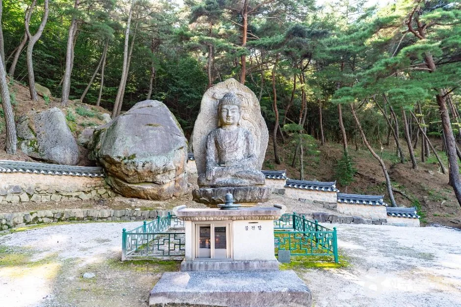
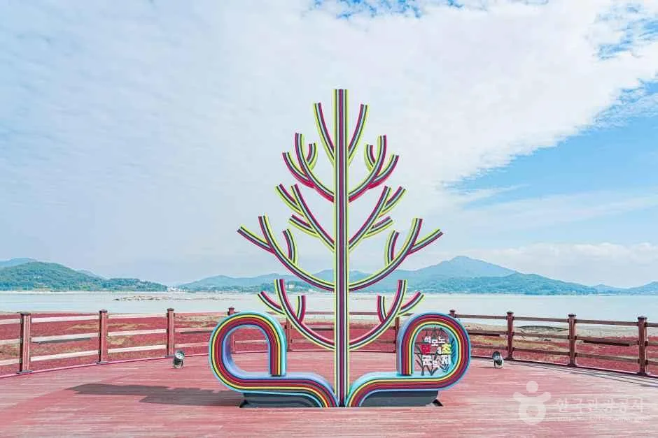 Photo: Korea Tourism Organization Tourism Photo Gallery (Samsan-myeon, Ganghwa-gun, Incheon) · KOGL
Here’s what you’ll find along the way — or rather, what you won’t.
| Facility | Count | Notes |
|---|---|---|
| Certification centers | 0 | None — this route isn’t part of the certification program |
| Restrooms | 0 | No dedicated facilities → use public buildings, tourist sites, shops |
| Water fountains | 0 | No dedicated water points → stock up at convenience stores and shops |
| Air pumps | 0 | None on the route → a portable pump is essential |
In other words, this route has no dedicated cyclist facilities whatsoever. That’s why the supplies-and-convenience rating is so low. Practically speaking, there are three things you absolutely need to sort out beforehand.
First, you’re on your own for water. Carry two bottles or a large hydration pack as your baseline, and get in the habit of topping up every time you pass through a town or tourist area.
Second, flats are your problem to fix. With no air pumps anywhere, you’ll want a portable pump or CO2, a spare tube, tire levers, and a multi-tool. Don’t count on finding help along the coastal and flatland stretches.
Third, plan your restroom stops ahead. Since there’s nothing dedicated to the route, you’re better off taking care of business whenever you pass somewhere with people around — tourist sites, public parking lots, shopping streets.
As for the certification program: this route isn’t included, so there’s no passport, no stamps, no section-completion stickers. If collecting cross-country certifications is your goal, you’ll need to plan a separate certified route alongside this one.
The Ride Home
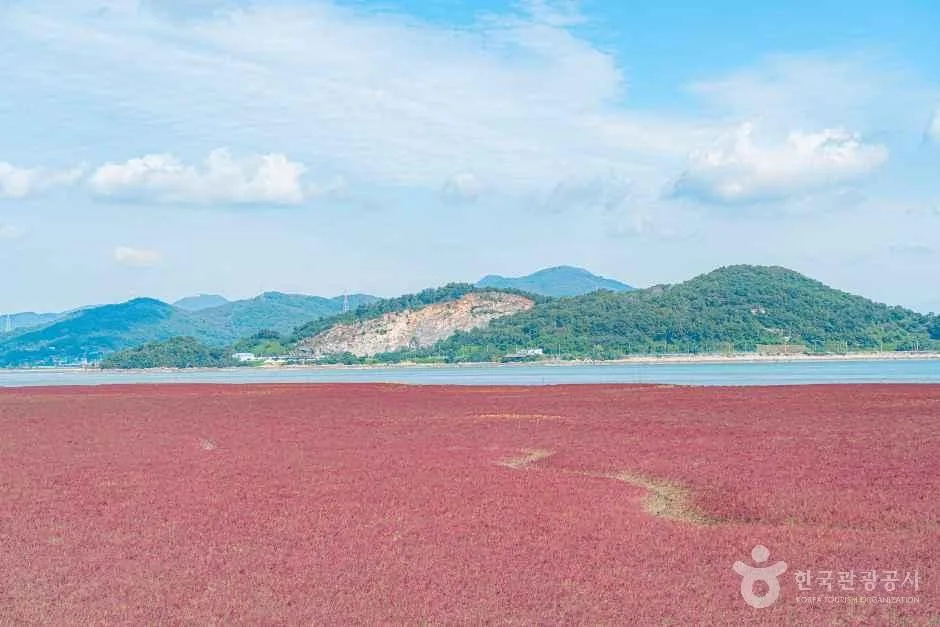 Photo: Korea Tourism Organization photo gallery (Samsan-myeon, Ganghwa-gun, Incheon) · KOGL
This is a 72.7km one-way route, so you really do need to lock down your return plan before you set off. There are basically four options.
① Ride back the way you came (145.4km round trip). Retrace the same road to your starting point. That puts you at 145.4km total, which means you need the legs to handle 100km-plus days comfortably and enough daylight to do it in. Outside the long days of summer, you’re all but guaranteed to end up riding in the dark — so I wouldn’t recommend it for beginners. If you do go for the round trip, stock up on water and snacks at points along the outbound leg.
② Bus back. Ganghwado has no passenger rail station. That makes buses your only real way off the island. From the bus terminal in downtown Ganghwa, you’ll generally find intercity and metropolitan buses running toward Seoul as well as Gimpo and Incheon. The catch: regular city and metropolitan buses typically won’t take a full-size bike. Boarding is only realistic with a folding bike packed in a carry bag, and even then a driver may turn you away during rush hour. For getting around the island itself there are local rural buses, but they run infrequently, so checking the timetable is essential.
③ Bus plus train (mainland leg). Get off the island by bus, then hop on the metropolitan rail network. As a rule, conventional trains (Mugunghwa-ho and ITX services) are fairly relaxed about carrying a bike on board, while KTX requires a folding bike to be folded and bagged as luggage. Metropolitan subway lines often allow bikes on weekends and holidays only, depending on the line, and usually restrict you to designated cars and specific hours. Rules vary by operator and change over time, so check the notices for the day you’re traveling.
④ Car shuttle or pickup. Either park a friend’s car or a rental near the end point ahead of time, or arrange to be picked up by a vehicle with a bike rack. It’s the most bulletproof solution for a long one-way route, and especially efficient with two or more people.
One planning tip to add: working backward from the last bus and setting your turnaround point from there is the safest approach. Take the last bus time near your end point, subtract at least an hour and a half as a safety buffer, and treat whatever spot you can reach by then as your effective finish. On Ganghwa’s coastal and open farmland stretches, your sense of direction falls apart fast once it gets dark.
Safety Notes
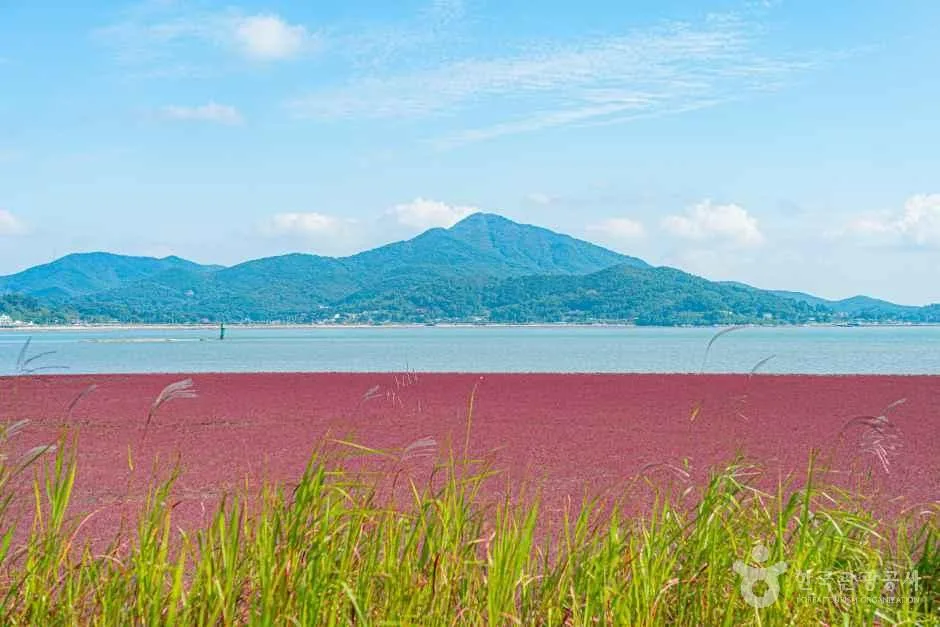 Photo: Korea Tourism Organization photo gallery (Samsan-myeon, Ganghwa-gun, Incheon) · KOGL
Pedestrians on shared paths. On combined bike-and-pedestrian paths, walkers have the right of way. Near tourist spots, people stop or change direction without warning all the time, so make slowing down and using your bell or voice a habit.
Mixed-traffic sections. Where the route runs through town centers or along the edge of regular roads, keep right and stay alert for opening car doors and the blind spots of right-turning vehicles. On rural roads, farm machinery and trucks can pull out with no warning.
Seawalls and road surfaces. Along the mudflats and coastline, sand and dirt tend to build up on the surface, and wet wooden decking and painted sections get slick. If there’s any moisture, scrub your speed before the corner, not in it.
Ice. In winter, coastal stretches, bridges, and shaded sections are high-risk for ice. Early morning and just after sunset are the worst. If you suspect ice, take a detour or just walk the bike through.
Lights after dark. This is a long one-way route, so running later than planned is common. Treat a headlight and taillight as basic kit, not a just-in-case afterthought. On unlit stretches of open plain, your headlight’s brightness is what actually determines how fast you can ride.
Water and dehydration. There are no water stations on this route, so don’t underestimate the risk of dehydration. Drink on a schedule rather than waiting until you’re thirsty, and add electrolytes in summer. If you get dizzy, chilled, or goosebumpy, stop in the shade immediately.
Emergencies. Korea’s emergency numbers are 119 (ambulance and rescue) and 112 (police). If you need help in a foreign language, 1330 (Korea Travel Hotline, multilingual) is the one to call.
Season, Weather, and Gear
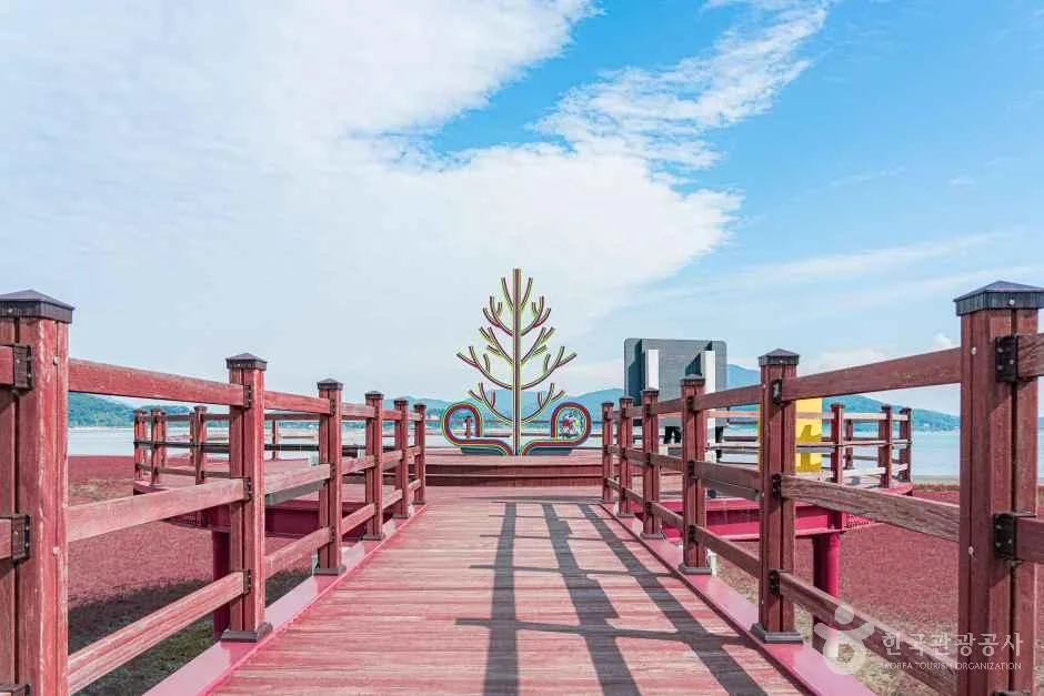 Photo: Korea Tourism Organization photo gallery (Samsan-myeon, Ganghwa-gun, Incheon) · KOGL
The seasons I’d recommend are spring (April–June) and fall (September–November). Mild temperatures and good visibility make it the best window for combining sightseeing at the historic sites with the ride itself. In autumn, the golden rice paddies across the reclaimed flatland suit the character of this route perfectly.
Summer brings heat, humidity, and harsh UV. There’s almost no shade along the coastal and flatland stretches, so start at dawn to avoid the hours around noon, and pack plenty of water. During the monsoon from late June into July, watch for slick road surfaces, sudden downpours, and strong winds. If there’s a typhoon in the forecast, postponing is the right call.
In winter, the sea wind is the deciding factor. Headwinds off the West Sea drive the wind chill way down, and on exposed sections a crosswind will unsettle your handling. Add icy patches and short daylight hours, and it’s easy to see why winter gets a high (meaning: difficult) star rating.
Wind is the key variable on this route no matter the season. On the open stretches along the coast and the reclaimed land, wind takes more out of your legs than any gradient does. Check the wind direction before you set off and, if you can, plan your direction of travel so the tailwind lands in the back half of the ride rather than on the return leg — it makes a huge difference.
Here’s the essential gear list.
| Category | Items |
|---|---|
| Safety | Helmet, front and rear lights, gloves, sunglasses |
| Repair | Mini pump or CO2, spare tube, tire levers, multi-tool, quick link |
| Fuel | Two bottles (or one large), energy bars and snacks, electrolytes |
| Seasonal | Summer: sunscreen, cooling sleeves / Winter: windproof jacket, neck gaiter, long-finger gloves / Rain: waterproof jacket, spare light batteries |
| Other | ID or passport, a little cash, power bank, phone mount, basic first-aid supplies |
Tips for Foreign Travelers
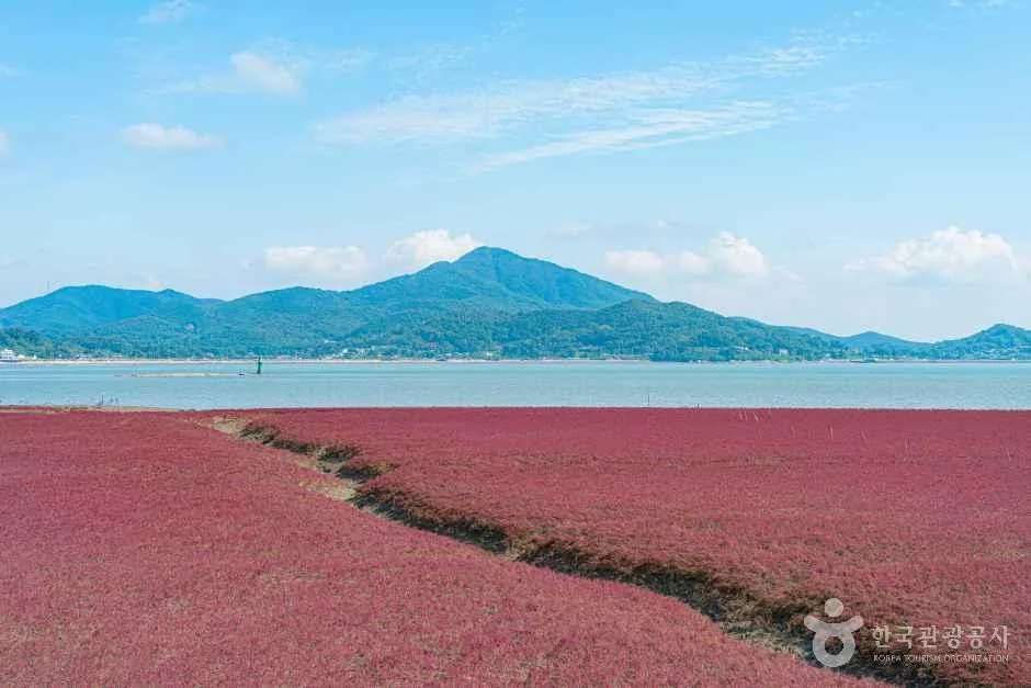 Photo: Korea Tourism Organization photo gallery (Samsan-myeon, Ganghwa-gun, Incheon) · KOGL
① The route name in Roman letters. Ganghwa-gun (Jibung-eomneun Bangmulgwan) Bicycle Road — literally, “Ganghwa County (Museum Without a Roof) Bike Route.” It helps to remember two names for navigation: Ganghwa for the region, and Ganghwadaegyo for the bridge that gets you onto the island.
② A practical guide to the certification system — note that this route isn’t part of it. Korea does run a certification system for its Cross-Country Cycling Routes, but this route isn’t one of them, and there are zero certification centers along it. So no stamp collecting here. Still, if you’re planning to ride some of the certified routes too, here’s how the system generally works.
- Bike Passport: buying one in person at a staffed certification center is by far the surest bet. The official website is essentially Korean-only, and between foreign-issued card payments and Korea’s identity verification requirements (local mobile number, ID), buying ahead from abroad often just doesn’t work. Plan on picking one up on the ground after you arrive.
- Unstaffed certification centers: look for a small stamp booth shaped like a red telephone box. Open the door and you’ll find a stamp and ink pad hanging inside. You press the stamp into the matching box in your passport — available 24 hours, free of charge. The ink dries out sometimes, so it pays to stamp a few times to get a clean impression.
- Section completion rewards: fill in all the stamps for a section and a designated counter will stick a section certification sticker into your passport; finish every section and you generally get a completion certificate and a medal. The specifics change from year to year, so check on site.
③ Coming without a bike. Korea’s best-known public bike share is Seoul’s Ttareungyi, which has decent English app support and handles foreign cards reasonably well, making it easy enough for short-term visitors. That said, Ttareungyi bikes have to be returned within the Seoul area, so they’re no good for riding out to Ganghwa Island. To ride this route, your realistic options are: ⓐ rent from a bike shop in Seoul or the surrounding metro area (road, MTB, and hybrid day rentals) and drive out if the bike doesn’t fold, ⓑ use a rental service near the tourist spots on Ganghwa (hours and seasonal availability vary, so call ahead), or ⓒ rent a folding bike and take the bus in. Whichever you choose, make sure to confirm whether a helmet comes with the rental.
④ Map apps. Google Maps’ cycling directions are not reliable in Korea. Use the bike mode in KakaoMap or Naver Map instead. Both have English interfaces, and their bike lane, gradient, and distance data is far more accurate. Searches work best with Korean place names, so it’s worth copying the Korean spelling of your destinations in advance. If you prefer GPX files, downloading a track from Komoot or Ride with GPS and loading it onto a cycling computer is the dependable approach.
⑤ Other practical bits. A T-money transit card makes public transport easy, and you can buy and top one up at any convenience store. Convenience stores (CU, GS25, 7-Eleven and the like) cluster around the town centers and are handy for water, snacks, and basic first-aid supplies — but as I mentioned earlier, they thin out along the coastal and farmland stretches. Grab a SIM or eSIM at the airport and you’ll have no trouble checking maps and bus timetables. Finally, this is a long one-way route, so make screenshotting the last bus of the day the final item on your pre-ride checklist.
Other bike paths nearby
- Ara Bike Path: full guide to the course, distance, and certification centers — about 30 km as the crow flies
- Han River Bike Path: 56 km of course and certification centers — about 61 km as the crow flies
- Bukhan River Bike Path: the Chuncheon course and its 4 certification centers — about 92 km as the crow flies
📍 Ganghwa's Museum Without a Roof Bike Route: A 72.7km RideLocation
Contact: bumseok.view [at] gmail [dot] com
Comments