Gyeongju History Trail Bike Route: Course, Distance, and Getting Back
Cycling · Published 8/4/2026 ·
자전거길 트랙·시설 (공공데이터: 행정안전부 국토종주 자전거길 DB) · 🏆인증센터 💧급수대 🚻화장실 🔧공기주입기 · 지도 © OpenStreetMap ⤓ GPX 다운로드
At a Glance
| Metric | Rating |
|---|---|
| Course difficulty | ★★★☆☆ |
| Supplies & facilities (certification centers, water stops) | ★☆☆☆☆ |
| Certification centers (0) | ☆☆☆☆☆ |
| Seasonal difficulty — Spring | ★★☆☆☆ |
| Seasonal difficulty — Summer | ★★★★★ |
| Seasonal difficulty — Autumn | ★★☆☆☆ |
| Seasonal difficulty — Winter | ★★★★☆ |
※ Source: Cross-Country Bike Path database, Ministry of the Interior and Safety of Korea · seasonal ratings are rough guides
For the difficulty rows, more stars means a harder ride. For supplies and facilities, more stars means better provisioned. The seasonal rows are difficulty ratings too, so spring and autumn — with the fewest stars — are the most comfortable times to go.
Overview
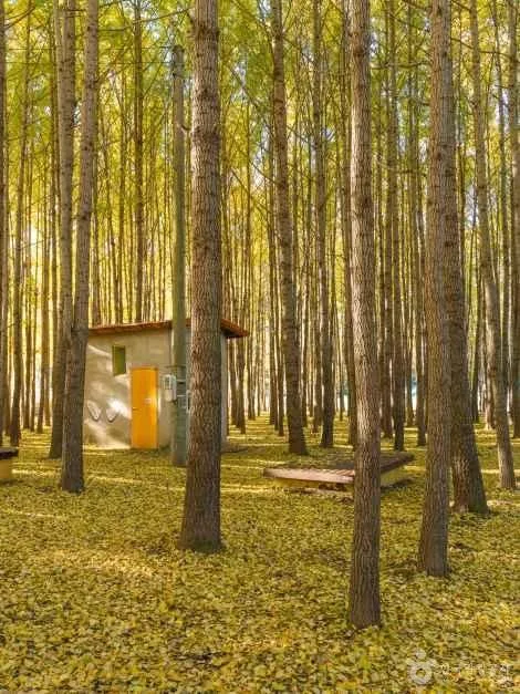 Photo: Korea Tourism Organization photo gallery (Gyeongju, Gyeongsangbuk-do) · KOGL
The Gyeongju Yeoksa Tambang Bicycle Path (Gyeongju History Exploration Bike Route) is exactly what the name says: a loop that takes you by bike through Gyeongju, capital of the Silla kingdom for a thousand years. Most bike routes in Korea follow a river from upstream to down, and they’re really about getting somewhere. This one is closer to a pilgrimage, hopping from one historic site to the next. You’ll spend nearly as much time off the bike as on it, which is why it works best when you clear a whole day and take it slow instead of chasing a time.
The terrain is mostly the gentle flat ground you’d expect from the Gyeongju basin, and the riverside stretches open up into wide, airy views. That said, the sections heading out of town toward Bomun or Bulguksa mix in climbs that are mild but relentless, so the effort adds up more than you’d think. It’s not beyond a beginner, but if you plan to do the whole thing in one day, it’s safer to think of it as an intermediate route that asks for a bit of stamina.
There are roughly four ways to approach it.
One: a one-day history ride. Start early from the town center, circle the royal tomb clusters and palace grounds, then head out to the outlying temples in the afternoon. This is the standard way to enjoy the route, and you can wrap it up in a single day with no overnight stay.
Two: split it over two days. Cut the route in half — city-center sites and the riverside on day one, the outlying temples and lake area on day two. Gyeongju has plenty of lodging options, so slotting in a night is easy, and you can give each site as much time as it deserves. If you’re here for the sightseeing, this is by far the richer option.
Three: pair a folding bike with public transit. A Brompton or a Dahon works beautifully here — take it on the train to Gyeongju, unfold it, ride, then fold it back up for the trip home. There are a lot of spots where you have to park the bike and explore on foot, so being able to fold it and carry it is a real advantage.
Four: ride a partial section with family or beginners. You don’t have to do the whole thing. Pick just the flat stretches through town and keep it to 20–30 km, and it’s perfectly manageable as a family ride with kids along. The areas where the historic sites cluster together are mostly level with well-maintained surfaces, so it’s easy going.
Course Details
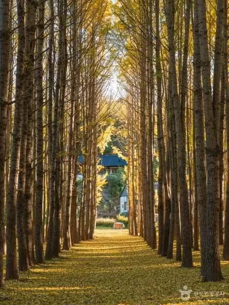 Photo: Korea Tourism Organization photo gallery (Gyeongju, Gyeongsangbuk-do) · KOGL
The route starts in the thick of Gyeongju’s downtown ruins district, then picks up the riverside bike path and runs out toward the edge of town. The opening stretch takes you through the heart of what’s known as the Gyeongju Historic Areas — the burial mounds around Daereungwon, Cheomseongdae, Donggung Palace and Wolji Pond, the Wolseong district. Through here you’re on bike paths running alongside the roads and pathways cutting through the parks, and the view as you ride between those gently rounded mounds is one of the most striking things on the whole course.
Once you’re clear of the town center, you drop onto the riverside path along the Hyeongsangang water system. This section feels much more like a dedicated riverside cycleway — fewer signals to stop for, easier to hold a steady pace. You’re up on the levee, so the wind hits you full-on, but the flip side is an open view and the best chance on this route to really wind it up.
After that the route swings toward Bomun Lake and on toward Bulguksa and Tohamsan, and the character shifts again. The lake section is very much tourist territory, so there are plenty of pedestrians about and stretches of shared bike-and-pedestrian path. The climb toward Bulguksa is the most pronounced gradient anywhere on this course, so it’s worth saving something in the legs. If you tack on the option that loops around the foot of Namsan, you get the bonus of country lanes scattered with old temple sites and rock-carved Buddhas.
The surface is decent overall, but it isn’t consistent. The riverside is close to a proper dedicated path with even paving, while the areas around the ruins and the approach roads to the tourist spots mix shared paths with sections where you’re sharing ordinary roads. In other words, if you show up picturing a Four Rivers–style route — dedicated path all the way along the water — you’ll be in for a surprise. Plan around the downtown traffic lights and the flow of pedestrians at the tourist sites.
This route isn’t part of the national cross-country certification scheme, so there are no certification centers to stop at along the way. Instead the ruins themselves effectively serve as checkpoints, so listing out the sites you want to visit in order beforehand — building your own little waypoint list — makes navigation a good deal easier.
Food Around Town
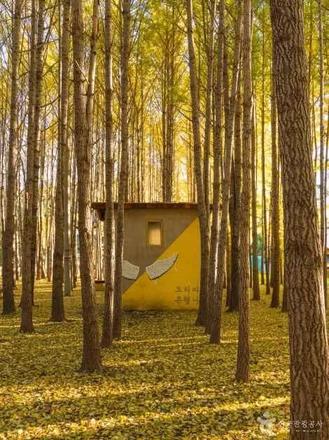 Photo: Korea Tourism Organization photo gallery (Gyeongju, Gyeongsangbuk-do) · KOGL
Gyeongju is a tourist city, so you’re spoiled for choice when it comes to food. Rather than pointing you at specific shops, though, I’ll just cover what the area is generally known for.
The most famous item has to be the red bean pastries — Gyeongju-ppang and Hwangnam-ppang — along with chalbori-ppang, the chewy barley cakes. They come individually wrapped, which makes them perfect for stuffing in a jersey pocket or a bag and eating for a sugar hit mid-ride, and you can find them without much trouble around the downtown areas where the historic sites cluster. As ride food on a long day, they’re genuinely practical.
For an actual sit-down meal, ssambap jeongsik is the spread Gyeongju is best known for. Lots of side dishes, generous portions of rice — good lunch material if you’ve got an afternoon of riding ahead. Beyond that, kongguk, haejangguk, grilled hanwoo beef, and noodle dishes are all common in the area, and in tourist-heavy zones like the Bomun Lake area, cafés and restaurants are packed in fairly tightly.
The thing to watch out for, resupply-wise, is how unevenly all this is spread. Convenience stores and restaurants are dense around the downtown historic zone and the main tourist hubs, but out on the riverside levee paths and the rural farm roads on the outskirts, you can go a long stretch with absolutely nothing. Early morning and late afternoon are especially tricky, since outlying shops may simply be closed. Get in the habit of topping up water and snacks at a convenience store right before you leave the city center. “I’ll just buy something in the next village” is the single most dangerous assumption you can make.
Supplies & Facilities
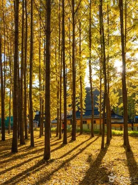 Photo: Korea Tourism Organization photo gallery (Gyeongju, Gyeongsangbuk-do) · KOGL
Here’s how the facilities break down.
| Facility | Count |
|---|---|
| Certification centers | 0 |
| Restrooms | 0 |
| Water fountains | 0 |
| Air pumps | 0 |
This route has exactly zero certification centers, restrooms, water fountains, or air pumps registered as dedicated bike-path facilities. In other words, you can’t build a plan around support the bike path itself provides. That’s why the supplies and convenience rating is ★☆☆☆☆.
That doesn’t mean you’re riding through the middle of nowhere, though. Gyeongju is a city with solid tourism infrastructure, so the strategy is to use the city’s own amenities as a substitute for bike-path facilities. Specifically:
- Restrooms: Major historic sites, public parking lots, tourist information centers, and parks generally have restrooms. Safest bet is to take care of business at each site before you set off again.
- Water: With no water fountains, buying bottled water at convenience stores is the default. Carry at least two bottles and top them both off before you leave the built-up area.
- Air pumps and repairs: Since there are no bike-path air pumps, a portable pump or CO2 cartridges aren’t optional — they’re essential. There may be bike shops in town, but it’s worth checking their hours and locations in advance.
Also, this route isn’t part of the Cross-Country Cycling Route certification program, so there are no stamp booths along the course for your certification passport. If collecting certification stamps is your goal, you’ll need to plan a separate certified route like the Nakdonggang or East Coast (Gyeongbuk) alongside this one. I’ve covered how the certification program works overall down in the “Tips for International Travelers” section.
The Ride Home
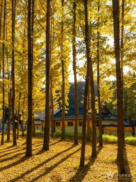 Photo: Korea Tourism Organization photo gallery (Gyeongju, Gyeongsangbuk-do) · KOGL
This is a one-way route, 77.9km end to end. It won’t loop you back to where you started, so you need to sort out your return trip before you set off. Broadly, you’ve got three options.
Option one: the train. Gyeongju has its own station served by both KTX and conventional trains, and nearby cities offer Pohang Station, Ulsan Station, and others. Bringing a bike onto a Korean train generally works like this. On conventional services — Mugunghwa-ho and the ITX family — you can fold a folding bike, stow it in a proper bag or cover, and carry it on as luggage; some trains and routes even run dedicated bike cars with racks. KTX is a different story. The gaps between seats are tight enough that hauling on a fully assembled bike is basically a non-starter, so it’s safer to plan around a folding bike, folded and bagged. Rules and train configurations do change, so check Korail’s official guidance or ask at the station counter for the current situation on the day. If you’re on something that doesn’t fold, like a road bike, the usual approach is to pull the front wheel and pack it into a dedicated bike bag.
Option two: the bus. Intercity and express coaches typically take bikes in the luggage hold underneath, and most will want the front wheel off and the bike covered. Whether they’ll take it at all comes down largely to the driver’s and the company’s discretion, though, so always ask before you board. City buses you should assume are off the table for bikes. There are city bus stops scattered along the route, but treat those as a fallback for when you’re leaving the bike behind or only a companion needs a lift — that’s the realistic view.
Option three: just ride back. Retracing your route makes it 155.8km total, which is a lot to swallow in a single day. If you go this way, you’ll need a pre-dawn start and a turnaround by early afternoon, plus night lights, spare batteries, and enough food and water. If you’re not confident in your fitness, I’d trim the route down to a 60–80km out-and-back loop that returns to your starting point instead.
My pick is a folding bike plus the train. Gyeongju is well connected by rail, so folding up, riding in, spending the day out on the bike, and taking the train back out again is by far the least stressful setup. There’s another practical option too: book a place in central Gyeongju, leave your luggage there, and ride a different loop out from the same base each day. Do it that way and the whole return-trip problem with one-way routes simply disappears.
Safety Notes
 Photo: Korea Tourism Organization photo gallery (Gyeongju, Gyeongsangbuk-do) · KOGL
- Shared paths: Around tourist sites and the approaches to historic ruins, you’ll find stretches where cyclists and pedestrians share the same path. Gyeongju gets a lot of foot traffic, so slow right down in the dense heritage areas and always give pedestrians the right of way. A bell or a quick shout to announce yourself is the safe move.
- Merging into traffic: The riverside bike path cuts out in places and dumps you onto regular roads. Check behind you before every merge, and don’t linger in the blind spot of a car about to turn right.
- Tour buses and parking chaos: The entrances to the major temples and historic sites see constant coach traffic and cars pulling in and out. Watch for doors swinging open and drivers suddenly reversing.
- Ice: In winter, frost and ice stick around late on the riverside levee paths and the shaded temple approaches. Bridges and shaded curves are especially dicey — the road surface stays colder there.
- Lights after dark: Some sections along the river have no streetlights at all. Run a front and rear light regardless of the time of day, and plan to be back in town before sunset as a matter of course.
- Dehydration: There are zero water fountains on this route. If you wait until you’re thirsty, you’ve already waited too long. Drink deliberately every 20–30 minutes, and pack electrolyte supplements in summer.
- Riding restrictions at historic sites: Cycling may be prohibited within cultural heritage protection zones or on visitor walkways. Follow the posted signs and walk your bike through restricted areas.
Season, Weather, and Gear
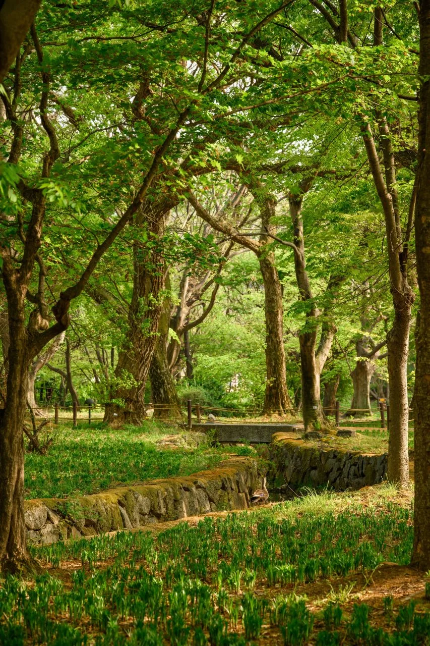 Photo: Korea Tourism Organization photo gallery (Gyo-dong, Gyeongju, Gyeongsangbuk-do) · KOGL
The best seasons are spring (April–May) and fall (October–November). Gyeongju is famous for its cherry blossoms and autumn foliage, so this is when the scenery pays you back the most. But for exactly that reason, the crowds show up too — go on a weekday rather than a weekend, and ride through the historic district early in the morning rather than in the afternoon. It’s a completely different experience.
Summer is the hardest season on this route. Temperatures in the Gyeongju basin climb pretty high in summer, and there’s almost no shade along the riverside embankment paths. Add in the fact that there are no water fountains, and dehydration becomes a real risk. If you’re riding in summer, I’d suggest splitting the day: start right at sunrise, knock out the main sections before noon, and spend the hottest hours indoors sightseeing or just resting. During monsoon season, riverside bike paths can flood or be closed off, so check ahead.
Winter means fewer people and a quiet ride, but ice and strong river winds are the wild cards. That headwind you get on riverside routes in particular can make things feel much harder than they are. On windy days, don’t push it — shorten the route.
Here’s the essential gear:
| Category | Items |
|---|---|
| Safety | Helmet, front light, rear light, gloves |
| Repair | Mini pump or CO2, spare tube, tire levers, multi-tool, patch kit |
| Supplies | Two water bottles, snacks (energy bars, bread), electrolyte tablets in summer |
| Other | Sunscreen, light windbreaker, power bank, a little cash |
The reason I’m harping on repair gear is that there are zero air pumps anywhere along this route. One flat can derail your whole day, so check your tires and tire pressure before you set off.
Tips for International Travelers
 Photo: Korea Tourism Organization photo gallery (Gyo-dong, Gyeongju, Gyeongsangbuk-do) · KOGL
① The route name in Roman letters
- Korean: 경주 역사탐방 자전거길
- Romanized: Gyeongju Yeoksa Tambang Jajeongeo-gil
- What it means: Gyeongju History Exploration Bicycle Route
- City name: 경주 = Gyeongju (use this when searching GPS units and map apps)
② A practical guide to the certification system — this route isn’t part of it
The first thing to know: the Gyeongju History Exploration Bicycle Route is not part of Korea’s Cross-Country Cycling Route certification program. So there are zero certification centers on this course, and no booths to stamp. If collecting certifications is the point of your trip, you’ll need to plan a separate route that’s actually in the program.
For reference, here’s how Korea’s bike certification system generally works.
- The bike passport (인증수첩): To earn cross-country certification you need the official passbook. The online store is Korean-only, and between overseas-issued cards and Korea’s identity verification steps (local phone number, resident registration number), buying one from abroad ahead of time is realistically very difficult. Your surest bet is to buy one in person after you arrive, at a staffed certification center (one of the hub locations with an office). It’s inexpensive, and bringing cash is the safe move.
- Unstaffed certification centers: Most certification centers are unmanned booths. Look for a small booth that looks like a red phone box. Inside, a stamp hangs on a chain, and you press it into the matching square in your passbook yourself. The ink dries out and stamps go missing now and then, so it’s worth taking a photo with both the booth and your bike in frame — handy as proof later.
- After finishing a section: Complete a section and a staffed center will stick that section’s certification sticker into your passbook; meet the requirements and you can receive a completion certificate and a commemorative medal. The medal and certificate normally involve a separate fee and application process.
③ If you’re coming without a bike
- Ttareungi (따릉이): Seoul’s public bike-share supports an English app and overseas-issued cards, so it’s easy for visitors to use. But it’s a Seoul-only service, so you can’t use it in Gyeongju. Do keep that in mind — Seoul only.
- Renting locally: Gyeongju is a tourist city, so you’ll generally find bike rental shops near the major historic sites and around downtown accommodations. That said, rental bikes here tend to be basic city bikes meant for sightseeing, which may not hold up over the full 77.9 km. If you’re planning the long version, ask your accommodation ahead of time about what types of bikes are available, return conditions, and opening hours.
- Bringing your own: The surest option is to load a folding bike onto the train. Some bike shops in big cities like Seoul and Busan offer long-term rentals, so if your whole trip revolves around riding, this one’s worth looking into.
④ Map apps
Google Maps’ cycling directions don’t really work in Korea. Because of regulations on exporting domestic map data, walking and cycling routes are inaccurate or simply unavailable — come relying on Google Maps alone and you’ll get lost.
- KakaoMap (카카오맵) — has a cycling mode with detailed bike-path rendering. English interface available.
- Naver Map (네이버 지도) — English, Japanese, and Chinese interfaces, and strong at working public transit into your search.
Install both before you enter Korea, and if you can, run a search on the course the night before over your accommodation’s wi-fi. Also, if you use a GPS cycling computer, downloading the GPX file and loading it in advance is the most reliable approach of all. Even if your data roaming drops, you won’t lose the route.
⑤ A few other things worth knowing
- Korean convenience stores (CU, GS25, 7-Eleven, Emart24) are usually open 24 hours and take cards without fuss. They’re the most dependable resupply points you’ll find on a ride.
- In an emergency, call 119 (ambulance and fire) or 112 (police). Multilingual tourist interpretation and information is available at 1330.
- Historic sites have access restrictions and visitor etiquette rules in place to protect the cultural heritage. Some zones require you to walk your bike, so follow the signs on site.
- Wearing a helmet is strongly recommended for your own safety.
Gyeongju is a special city to ride through. That feeling of rolling along the grid of a thousand-year-old royal capital, exactly as it was laid out, is hard to get on any other route. But this route has essentially no support facilities of its own, so please nail down three things before you set off: water, repair tools, and your plan for getting back. Come prepared and it’s a course that leaves you with a very long, very rich day.
Other Bike Paths Nearby
- Nakdong River Bike Path: Route, Distance, and Certification Centers — about 64 km as the crow flies
- East Coast (Gyeongbuk) Bike Path: 76 km and 5 Certification Centers — about 98 km as the crow flies
- Saejae Bike Path: Route, Distance, and 7 Certification Centers — about 143 km as the crow flies
📍 Gyeongju History Trail Bike Route: Course, Distance, and Getting BackLocation
Contact: bumseok.view [at] gmail [dot] com
Comments