Namhae Bike Path: Course, Distance & Certification Centers
Cycling · Published 8/23/2026 ·
자전거길 트랙·시설 (공공데이터: 행정안전부 국토종주 자전거길 DB) · 🏆인증센터 💧급수대 🚻화장실 🔧공기주입기 · 지도 © OpenStreetMap ⤓ GPX 다운로드
At a Glance
The route from Namhae Bridge to Seonso in Namhae-eup rates about ★★☆☆☆ for difficulty — even if this is your first time planning a bike trip, you can comfortably knock it out in a single day. The trade-off is supplies and amenities, which sit at a sparse ★☆☆☆☆, and the number of certification centers registered on this route is exactly zero. In other words, forget the familiar rhythm of Korea’s cross-country trails — rolling up to a certification center to refill your water, use the restroom, and stamp your passport. Out here, water, snacks, and bathroom timing are things you’ll have to plan yourself, working around the villages and the town center.
For the seasonal ratings, more stars means a tougher ride. Spring is the most forgiving at ★★☆☆☆. Summer climbs all the way to ★★★★☆, thanks to radiant heat on the stretches with no sea breeze plus the added burden of carrying enough water. Fall is ★★☆☆☆ — right up there with spring as the best time to go. Winter I’d put at around ★★★☆☆; Namhae is relatively mild, but you’ll be taking the coastal wind head-on. Bottom line: the distance is easy, the scenery pays off big, but you do have to do your homework on resupply. Source: Ministry of the Interior and Safety of Korea, national cross-country bike route database · Seasonal ratings are for reference only
Overview
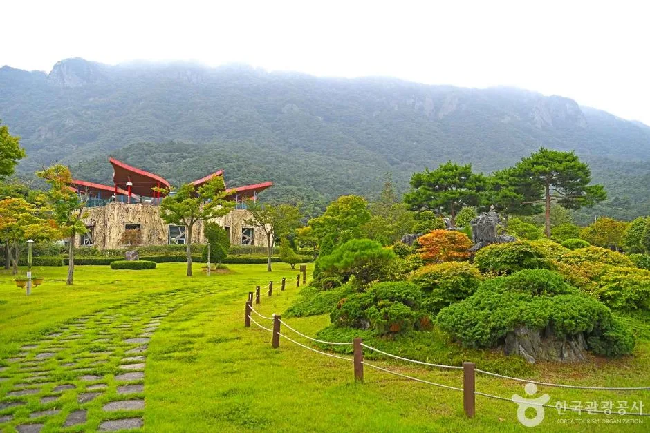
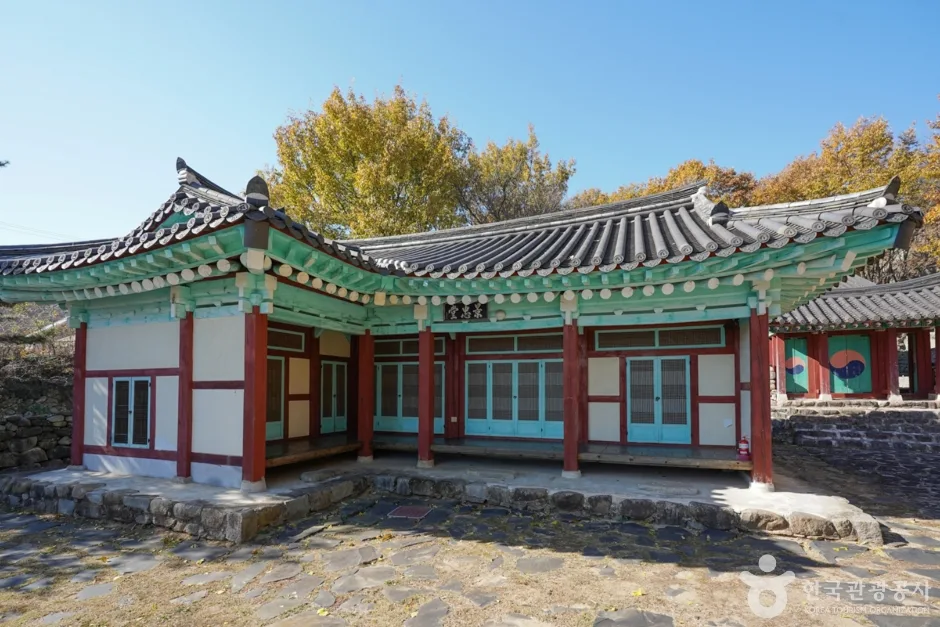 Photo: Korea Tourism Organization photo gallery (503-14 Gyeongchung-ro, Geumnam-myeon, Hadong-gun, Gyeongsangnam-do) · Kogl (Korea Open Government License)
The Gyeongnam Namhae bike path (Namhaedaegyo Bridge to Seonso in Namhae-eup) — romanized as Gyeongnam Namhae Bike Path (Namhaedaegyo Bridge – Namhae-eup Seonso) — is a one-way route that starts at Namhaedaegyo Bridge, follows the northern coast of Namhae Island southward, and ends at Seonso in Namhae-eup.
If I had to sum up this route in one phrase, it’s “the road into the island.” Unlike the Four Rivers trails, where you push along flat ground beside a big river, here the sea and the mountains take turns, and the view keeps opening up and closing back in. The Noryang Strait — spanned by Namhaedaegyo Bridge and the neighboring Noryangdaegyo Bridge — was the stage for the Battle of Noryang, the final naval battle of the Imjin War, and the Gwaneumpo area midway along the route is where the memorial sites marking Admiral Yi Sun-sin’s death in battle are clustered. So this course lets you naturally layer a history tour on top of your ride.
Here’s roughly how I’d suggest making use of it.
First, as a half-day out-and-back day ride. The one-way distance isn’t intimidating, so the easiest plan is to set out in the morning, have lunch at Seonso, and ride back. If you want plenty of time in Namhae-eup, I’d recommend a morning start.
Second, pairing a mini velo or Brompton with public transit. You can pack a folding bike into a bag, take an intercity bus to Namhae or the Hadong area, unfold it near Namhaedaegyo Bridge, ride, then fold it back up at Seonso for the trip home. It’s a great fit for travelers who want to pack light — especially foreign visitors getting around without a rental car.
Third, as the opening leg of a full loop around Namhae. The island’s sights are scattered along the coastline, so staying at least one night makes natural sense. You could knock out this section as a first-day warm-up, spend the night in Namhae-eup, and continue on toward Changseon and Samdong or toward Seo-myeon the next day.
Fourth, as a stretch for families and beginners. The distance itself is on the short side, so if your group has mixed fitness levels, you can trim it down to a shortened out-and-back covering just half the route, using Namhae-eup as your base.
Food nearby
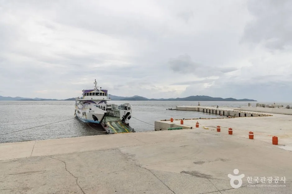
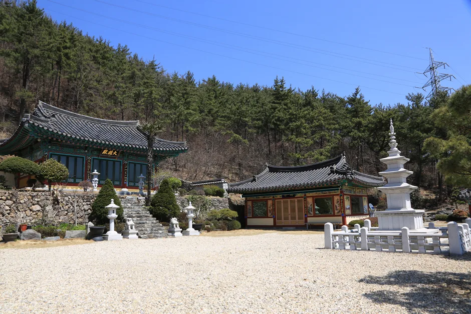 Photo: Korea Tourism Organization photo gallery (113-1 Geumjeong-gil, Geumnam-myeon, Hadong-gun, Gyeongsangnam-do) · KOGL (Korea Open Government License)
Namhae is an island with a lot of good food packed into it. That said, the route isn’t laid out so that you’ll stumble onto a restaurant whenever you feel like eating, so it’s safer to plan your meals around Namhae-eup or one of the larger township centers. What follows isn’t a list of specific restaurants — just the foods this region is generally known for.
| Food | What it’s about |
|---|---|
| Anchovy ssambap (myeolchi ssambap) | Widely known as Namhae’s signature local dish. Fresh anchovies braised in a spicy sauce, eaten wrapped in leafy greens |
| Jukbangryeom anchovies | Famous for being caught in the Jijok Strait using traditional bamboo fish traps; dried anchovies are commonly sold as souvenirs too |
| Braised hairtail and mackerel | The kind of braised fish dishes you’ll typically find in port towns along the south coast |
| Namhae spinach and fernbrake | Known as Namhae’s signature field crops, so they show up often as side dishes |
| Yuzu and black garlic products | Commonly sold as tea, syrup, or juice — handy for a sugar top-up mid-ride, too |
| Jaecheop-guk (freshwater clam soup) | A well-known dish across the bridge in the Hadong and Seomjingang River area. Worth considering for breakfast before you set out |
From a resupply standpoint, there are only two things to remember. One: convenience stores and restaurants are densest around Namhae-eup. Two: the coastal stretches between township centers can be short on shops, so assume they’re no-resupply zones and top up your water in advance. In summer especially, it’s a good idea to start out carrying at least a liter of water. Out in the countryside, small restaurants often close for the day or wrap up lunch service early, so not pushing your mealtime too late is a trick worth knowing.
Supplies & Facilities
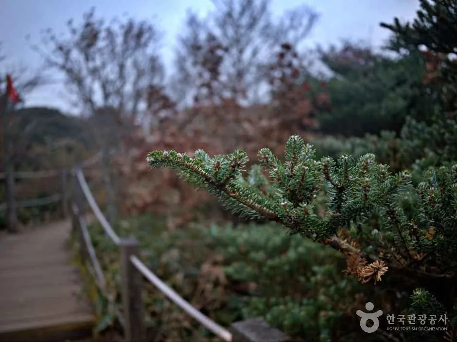
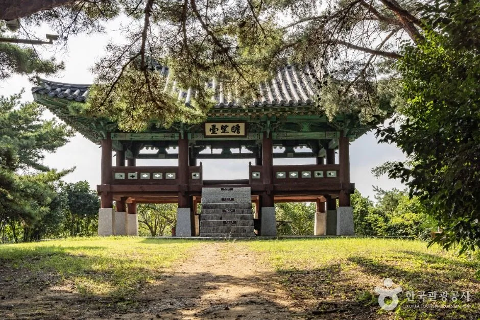 Photo: Korea Tourism Organization photo gallery (3829 Namhae-daero, Gohyeon-myeon, Namhae-gun, Gyeongsangnam-do) · KOGL (Korea Open Government License)
Here’s what’s officially registered along this route.
| Facility | Count | What that means in practice |
|---|---|---|
| Certification centers | 0 | Don’t count on the route for stamps or water stops |
| Water fountains | 0 | Start with full bottles and top up at village shops along the way |
| Restrooms | 0 | Plan ahead around parks, harbors, and public facilities in town |
| Air pumps | 0 | Bring a portable pump or CO₂ cartridges — no exceptions |
In other words, this is a route that assumes you’re not relying on facilities. The key is to map out your water refill points in advance and be fully self-sufficient when it comes to flat tires.
And note that this route is not part of the national cross-country bike path certification program. So there are no stamp booths for your certification passport and no section-completion stickers to be found here. If you’re riding for certification, it’s best to file this stretch under “scenery, not stamps” and save your certification gear for a separate trip on an eligible route. (I explain how the certification program actually works in the tips for international travelers below.)
Course Info
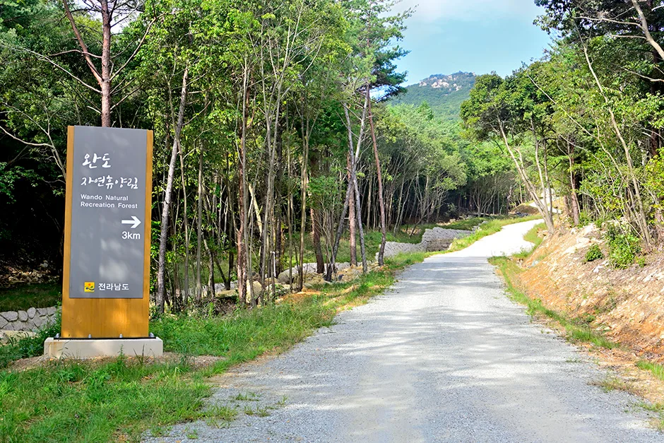
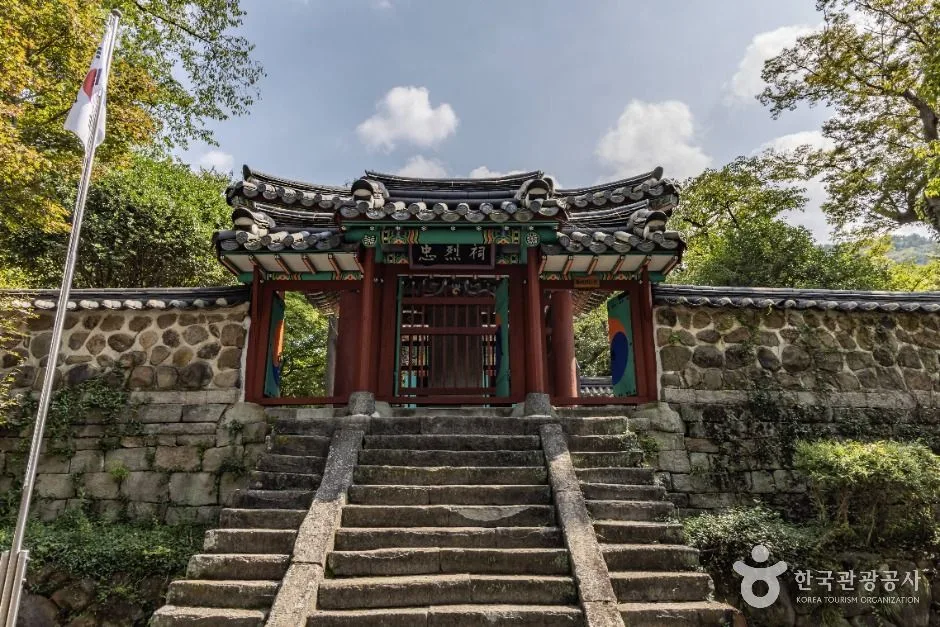 Photo: Korea Tourism Organization photo gallery (27 Noryang-ro 183beon-gil, Seolcheon-myeon, Namhae-gun, Gyeongsangnam-do) · KOGL (Korea Open Government License)
The starting point is Namhaedaegyo Bridge. It’s the iconic red suspension bridge connecting Hadong and Namhae, and the newer Noryang Bridge stands right beside it, so the two bridges appear to overlap — a pretty striking sight. Down below the south end of the bridge, in the Noryang area, you’ll find Namhae Chungnyeolsa Shrine, a historic site dedicated to Admiral Yi Sun-sin, making it a convenient quick stop right after you set off.
Once you cross the bridge onto the island, the route follows the northern coastline toward Seolcheon-myeon. This stretch is classic Namhae coastal riding — the sea on your right or left the whole way — with tidal flats, fish farms, and small harbors taking turns in the scenery. As you’d expect from a coastal road, there may be sections where short, gentle ups and downs keep repeating, so it’s wise to keep some gears in reserve.
The big midpoint landmark is the Gwaneumpo area. It overlooks the waters where Admiral Yi Sun-sin fell in battle, and there’s a memorial site and park here, so it makes a natural spot to rest and look around. Top up your water, sort out your snacks, and set off again — it keeps your rhythm nicely.
From there, the route passes through the Gohyeon area and approaches Namhae-eup. As you get closer to town, the shops, restaurants, and traffic pick up noticeably, and you can feel it’s the hub of island travel. The endpoint, Seonso, is a seaside village in Namhae-eup — a quiet harbor whose name comes from its history as the place where the Joseon navy built and launched its ships, and where traces of a Japanese-built fortress still remain. It’s not a flashy tourist spot; it’s exactly the kind of endpoint where you can wrap up your ride and just gaze out at the sea for a while.
The road surface is a different story from the river-path routes with their continuous dedicated bike lanes. Since this route follows coastal roads, it’s safest to prepare with the assumption that you’ll be sharing some sections with car traffic.
Coming Back
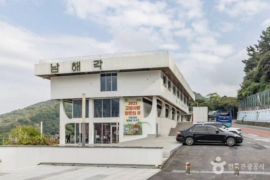 Photo: Korea Tourism Organization photo gallery (4216 Namhae-daero, Seolcheon-myeon, Namhae-gun, Gyeongsangnam-do) · Kogl (Korea Open Government License)
It’s a one-way route, but even the round trip is only about 42.6 km, so heading back isn’t much of a burden. Rather than puzzling over how to haul your bike onto public transit, the simplest and surest option is to just retrace your steps back to Namhae Bridge. The light is different on the way back, so the sea takes on a different color too — it never gets boring. Spending a night in Namhae-eup and returning the next morning works well, or if you’ve still got legs left, turning right around at the endpoint and finishing it all in one day is perfectly doable.
The bridge in that photo — I’ll keep the caption and everything else exactly in place.
Safety Notes
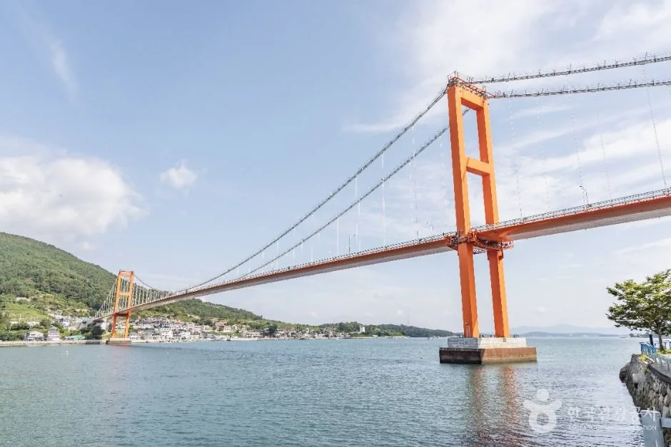 Photo: Korea Tourism Organization Photo Gallery (Noryang-ri, Geumnam-myeon, Hadong-gun, Gyeongsangnam-do) · KOGL (Korea Open Government License)
- Shared and mixed-use sections: Where the route shares the road with cars, ride as if there’s always a vehicle coming up behind you — because there probably is. Keep your rear light on even in daylight.
- Pedestrians and tourists: Around bridges, historic parks, and harbor villages, people have a way of stepping out of nowhere. Slow down and give advance warning with your bell or your voice.
- Large vehicles and curves: Coastal roads have blind curves. Don’t hug the inside of the curve, and stay out of the oncoming lane.
- Crosswinds: On bridges and exposed stretches of coast, side winds can pick up without warning. Keep a light grip on the bars and lower your body.
- Ice: On winter mornings, shaded sections and bridge decks can be slick. It’s safer to wait until the sun is up before heading out.
- Night riding: Some sections may have no lighting at all, so front and rear lights aren’t optional — they’re essential.
- Water and dehydration: The fact that this route has no water fountains is a real hazard in summer. Drink before you’re thirsty, and whenever you pass a shop, top off — no exceptions.
Season, Weather, and Gear
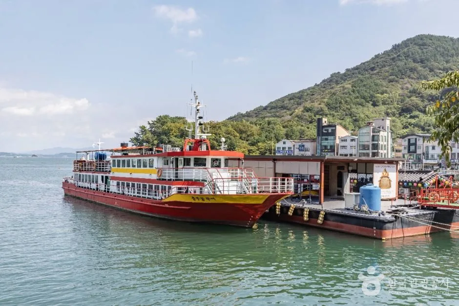 Photo: Korea Tourism Organization Photo Gallery (177 Noryang-ro, Seolcheon-myeon, Namhae-gun, Gyeongsangnam-do) · Kogl (Korea Open Government License)
The best seasons to ride are spring (April–May) and fall (October–November). The weather is mild and the sea views are at their clearest — this is when the Namhae coastline really shows off.
Summer brings heat and humidity together, and the lack of water refill points will drain your energy fast. Stick to three rules: start early in the morning, carry plenty of water, and rest often in the shade. I’d avoid midsummer afternoons altogether. During monsoon and typhoon season, check the forecast and road conditions before heading out — the wind and rain can get serious.
In winter, it’s the wind that matters more than the temperature. Namhae is relatively mild, but a headwind coming straight off the ocean will knock the felt temperature way down. Pack a windproof jacket, gloves, and something to cover your ears.
| Gear | Notes |
|---|---|
| Helmet | Essential. Recommended and expected in Korea too |
| Front and rear lights | Essential. For night riding, tunnels, and overcast days |
| Water bottle (1L or more) | Especially important — there are no refill stations on this route |
| Puncture kit, spare tube, portable pump | No air pumps along the way, so you’re on your own for repairs |
| Snacks (energy bars, fruit) | For the stretches with no resupply |
| Sunscreen and sunglasses | The glare off the water is intense |
| Windproof jacket | For bridges and coastal crosswinds — useful year-round |
| Small amount of cash | For small shops and local markets |
Tips for International Travelers
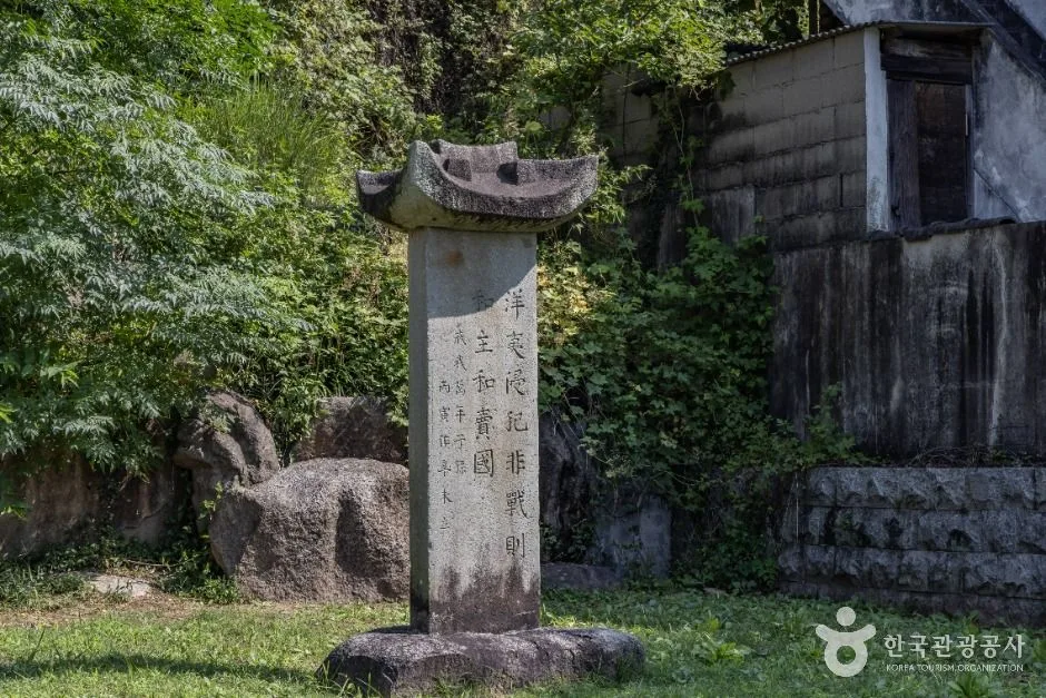 Photo: Korea Tourism Organization Photo Gallery (27 Noryang-ro 183beon-gil, Seolcheon-myeon, Namhae-gun, Gyeongsangnam-do) · Kogl (Korea Open Government License)
The route name in Roman letters. This route is officially rendered as the Gyeongnam Namhae Bike Path (Namhaedaegyo Bridge – Namhae-eup Seonso). If you need to ask for directions locally, you really only need three names: the start point “남해대교 Namhaedaegyo,” the end point “남해읍 선소 Namhae-eup Seonso,” and the midpoint “관음포 Gwaneumpo.”
The certification system, in practice — this route isn’t part of it. Korea has a national bike path certification program (the Korea Cross-Country Cycling Certification), built around the four major rivers, but this Namhae section is not one of the certified routes. So riding this path alone won’t earn you any stamps or a completion certificate. Still, for anyone planning a certification trip elsewhere in Korea, here’s how the system works.
- The Bike Passport: Buying one in person at a staffed certification center is generally your safest bet. The official website is essentially Korean-only, and buying in advance usually runs into problems with foreign-issued cards or Korea’s identity verification (phone number or ID), so I’d recommend just picking one up at a staffed center on a certified route after you arrive in Korea.
- How the unmanned certification booths work: The unmanned centers along certified routes are small booths shaped like red phone boxes. Open the door and you’ll find an ink stamp hanging inside — you stamp the corresponding square in your passport yourself. They’re typically accessible 24 hours and there’s no staff. The ink can be dry or faint, so rather than pressing multiple times, give it one firm press.
- Completion rewards: Fill in all the stamps for a section and you get a section-completion sticker in your passport; complete the entire network and you receive a completion certificate and a medal. These are typically issued at designated offices after they verify your passport.
If you’re coming without a bike. Namhae’s rental infrastructure isn’t as dense as the big cities’, so two strategies are realistic. First, rent or buy a folding bike in Seoul or Busan and bring it down in the cargo hold of an intercity bus. In Seoul, the public bike-share Ttareungyi generally supports an English app and foreign-issued cards, so it’s fine for a warm-up ride around the city — but it’s Seoul-only, so you can’t take one to Namhae. Second, ask ahead about tourist bike rental services in Namhae or bikes available through your accommodation. Rural rental shops have fluid hours and seasons, so absolutely contact them in advance to confirm. If you’re bringing your own bike, a folding bike — or one disassembled and packed in a case — is the safe choice for intercity buses, and since policies vary by company, check before you board.
Map apps. Google Maps’ cycling directions in Korea are often inaccurate or simply unavailable. Make sure you use a Korean app alongside it.
| App | What it’s for |
|---|---|
| KakaoMap | Bike-mode directions; useful for reading terrain and gradients. English interface available |
| Naver Map | Strong for bike routes, nearby searches, and checking business hours. English supported |
| Offline backup | Signal can be weak along coastal sections, so screenshot your route ahead of time or save it as a GPX file |
Finally, for any bike-related questions while traveling in Korea, your local tourist information center is the fastest option. In an emergency, remember 119 (ambulance and rescue) and 112 (police), and if you need help in a foreign language, the tourist interpretation hotline 1330 is there for you.
Other Bike Paths Nearby
- Seomjingang River Bike Path: 154km Course & 8 Certification Centers — about 56km away as the crow flies
- Goheung Geogeumdo to Sorokdo Bike Path: Course & Distance — about 83km away as the crow flies
- Yeongsangang River Bike Path: Course, Distance & 7 Certification Centers — about 107km away as the crow flies
📍 Namhae Bike Path: Course, Distance & Certification CentersLocation
Contact: bumseok.view [at] gmail [dot] com
Comments